Elevation of Peters Creek, VA, USA
Location: United States > Virginia > Patrick County >
Longitude: -80.209821
Latitude: 36.5725436
Elevation: 337m / 1106feet
Barometric Pressure: 97KPa
Elevation Map:
Satellite Map:
Related Photos:
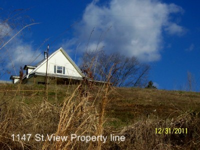
1147 St. View (3) Property line

Rear view
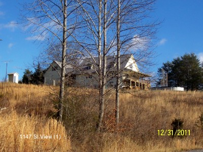
1147 St. View (1)

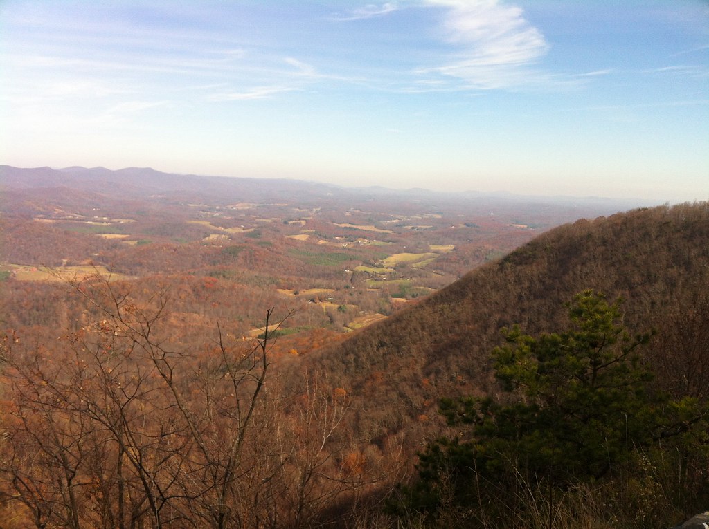
View from Above

1147 St. View (2)

VA 8 North approaching VA 103

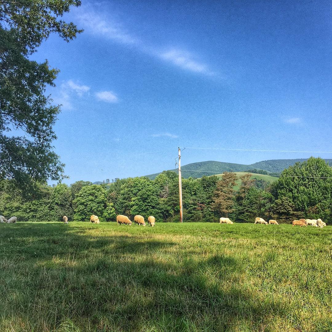
Current view. #lambstock2016

One Old Chevy
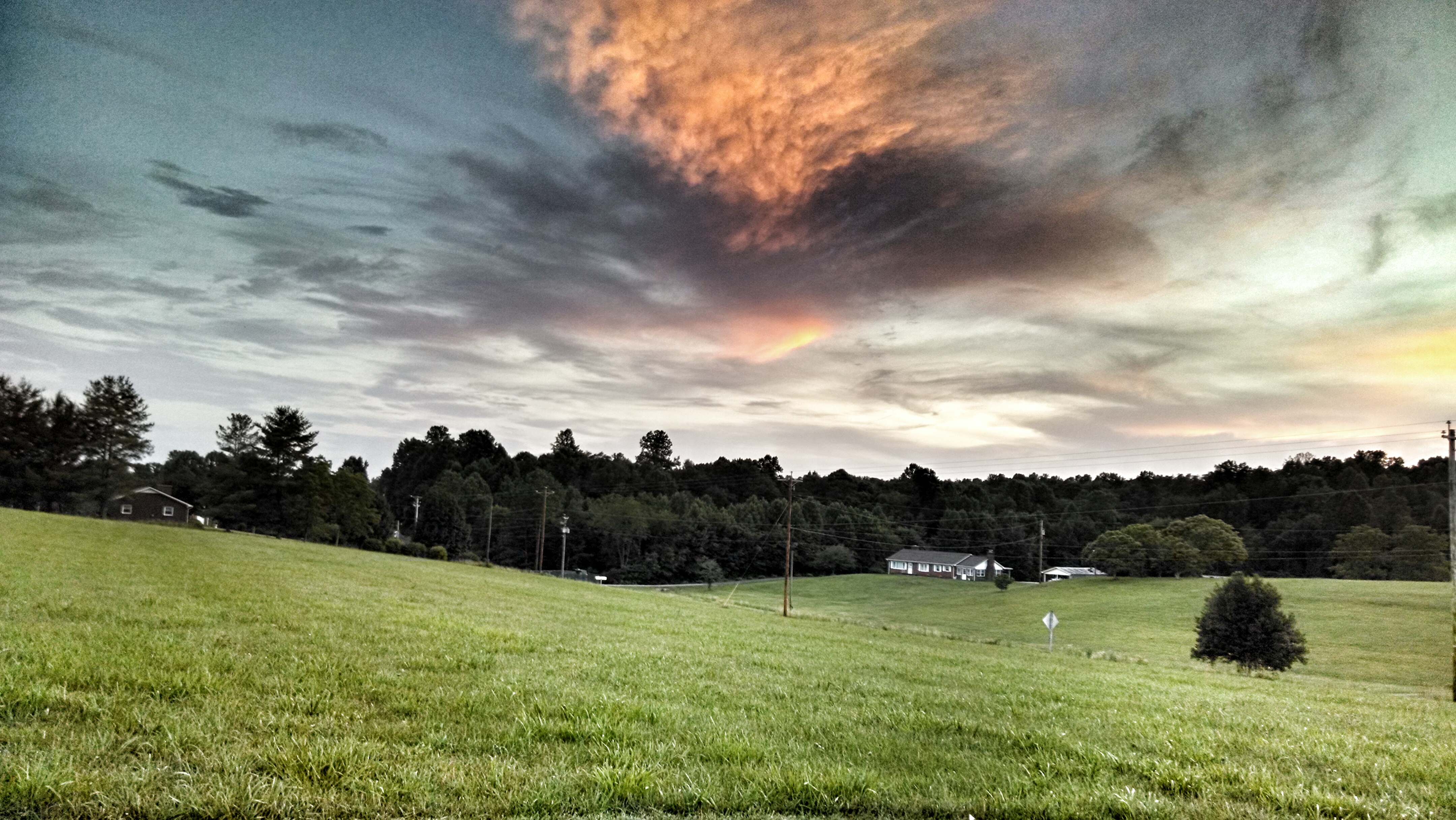
Pretty evening
2012-11-11 11.32.50.jpg

Storm over the Orchard
So sorry to have had to leave early from this raucous & #delicious paradise - #Lambstock #VAstyle #lamb
Topographic Map of Peters Creek, VA, USA
Find elevation by address:

Places in Peters Creek, VA, USA:
Places near Peters Creek, VA, USA:
429 Still Meadow Ln
219 Wayside Rd
South Mayo Drive
1394 Poplar Dr
6918 Jeb Stuart Hwy
6918 Jeb Stuart Hwy
1648 Shingle Shop Rd
Commerce Drive
Fairview Pentecostal Holiness Church
6032 Salem Hwy
Patrick Springs
Old Mill Road
265 Lottie Ln
Doctor Kay Lane
Stuart
Ashby Drive
105 Hillcrest St
661 Taylor View Dr
158 Stanburn Ln
103 Mountain View Heights
Recent Searches:
- Elevation of Tenjo, Cundinamarca, Colombia
- Elevation of Côte-des-Neiges, Montreal, QC H4A 3J6, Canada
- Elevation of Bobcat Dr, Helena, MT, USA
- Elevation of Zu den Ihlowbergen, Althüttendorf, Germany
- Elevation of Badaber, Peshawar, Khyber Pakhtunkhwa, Pakistan
- Elevation of SE Heron Loop, Lincoln City, OR, USA
- Elevation of Slanický ostrov, 01 Námestovo, Slovakia
- Elevation of Spaceport America, Co Rd A, Truth or Consequences, NM, USA
- Elevation of Warwick, RI, USA
- Elevation of Fern Rd, Whitmore, CA, USA