Elevation of Hillcrest St, Stuart, VA, USA
Location: United States > Virginia > Stuart >
Longitude: -80.276270
Latitude: 36.6400775
Elevation: 427m / 1401feet
Barometric Pressure: 96KPa
Elevation Map:
Satellite Map:
Related Photos:

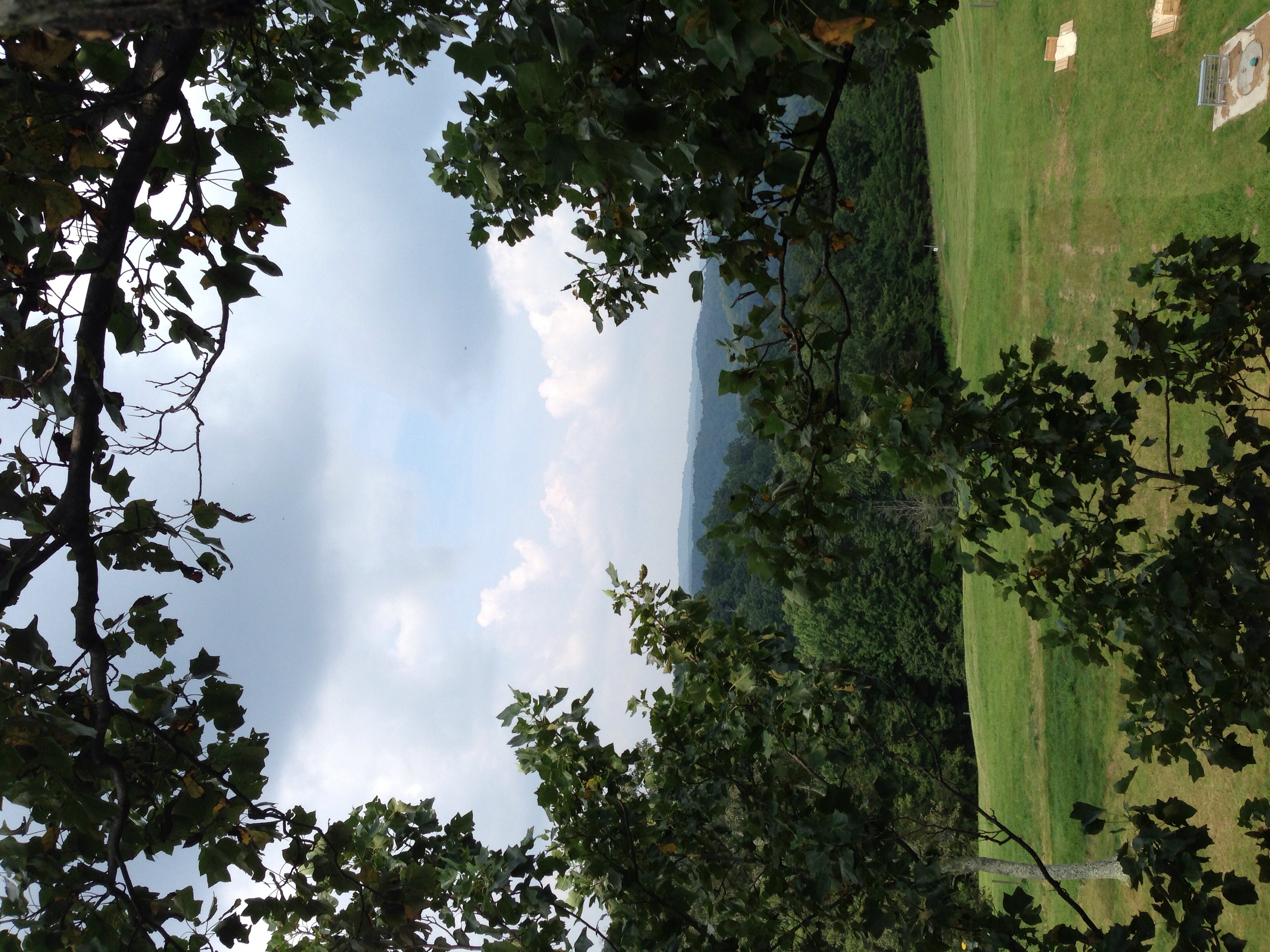
2018.06.11.3165 Lover's Leap

2018.06.11.3169 Lover's Leap

2013.10.25.04 Patrick

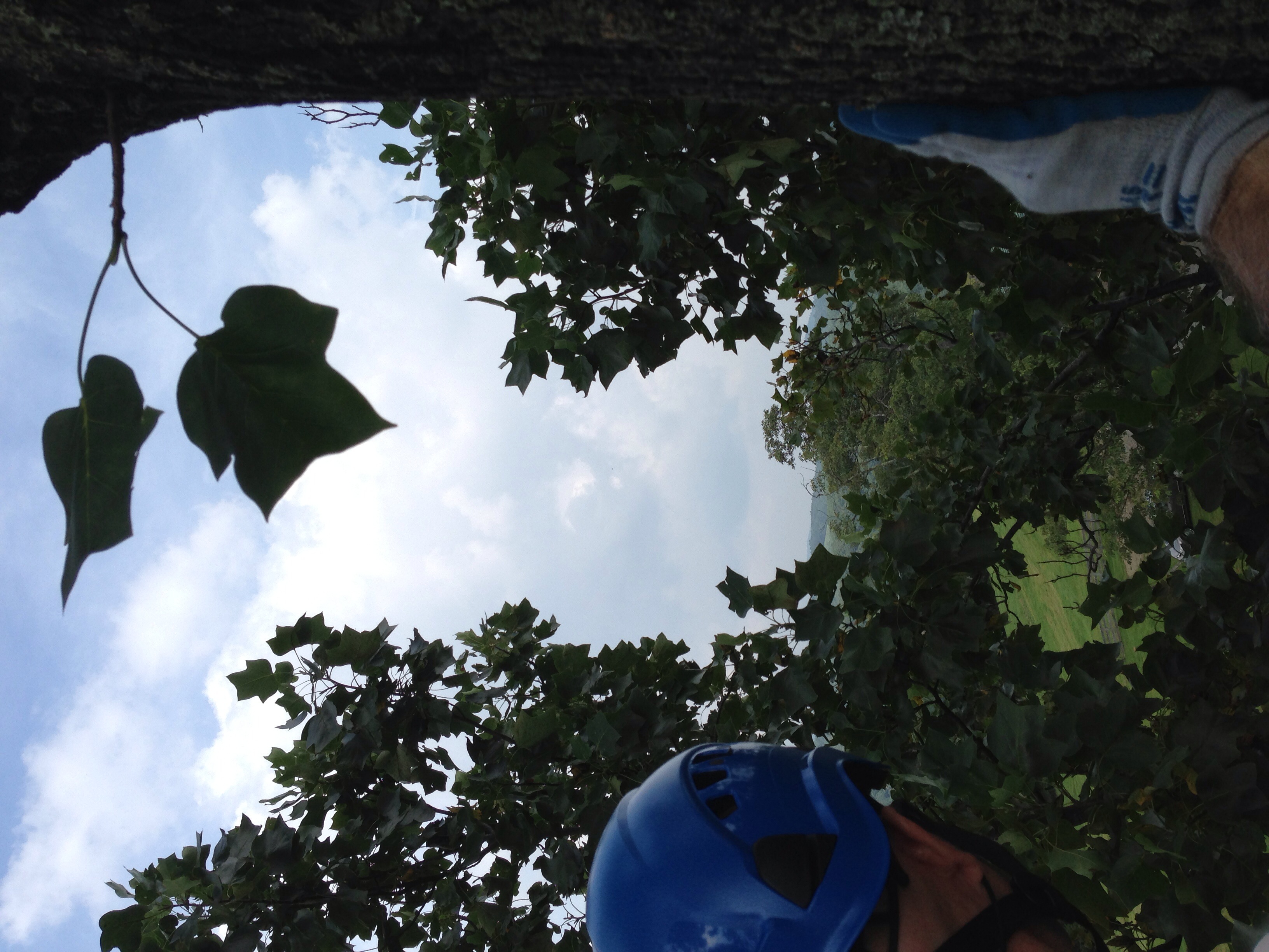
Inside view

2013.10.25.05 Patrick

VA 8 North approaching VA 103

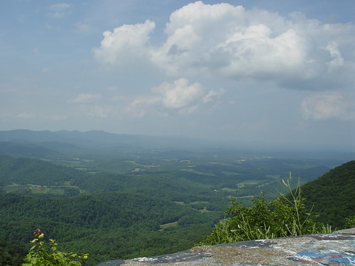
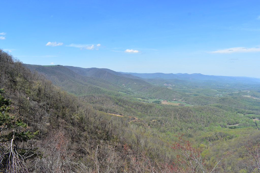
View from Lovers Leap
View from the top
Lover Leap

View down from the top

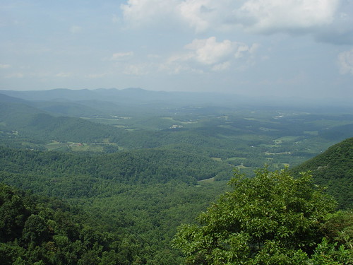
View from the top

View of the valley

Lover's Leap

Middle tree view - with the car!

The highlands course at Primland

Lover's Leap

Lovers Leap
Lovers Leap
View from the top

LOVER'S LEAP
LOVER'S LEAP

US 58

US 58

Pretty evening

Tree's

Bob White Covered Bridge, Virginia

That Little Old Church

Lover's Leap Wayside II - Meadows of Dan, VA
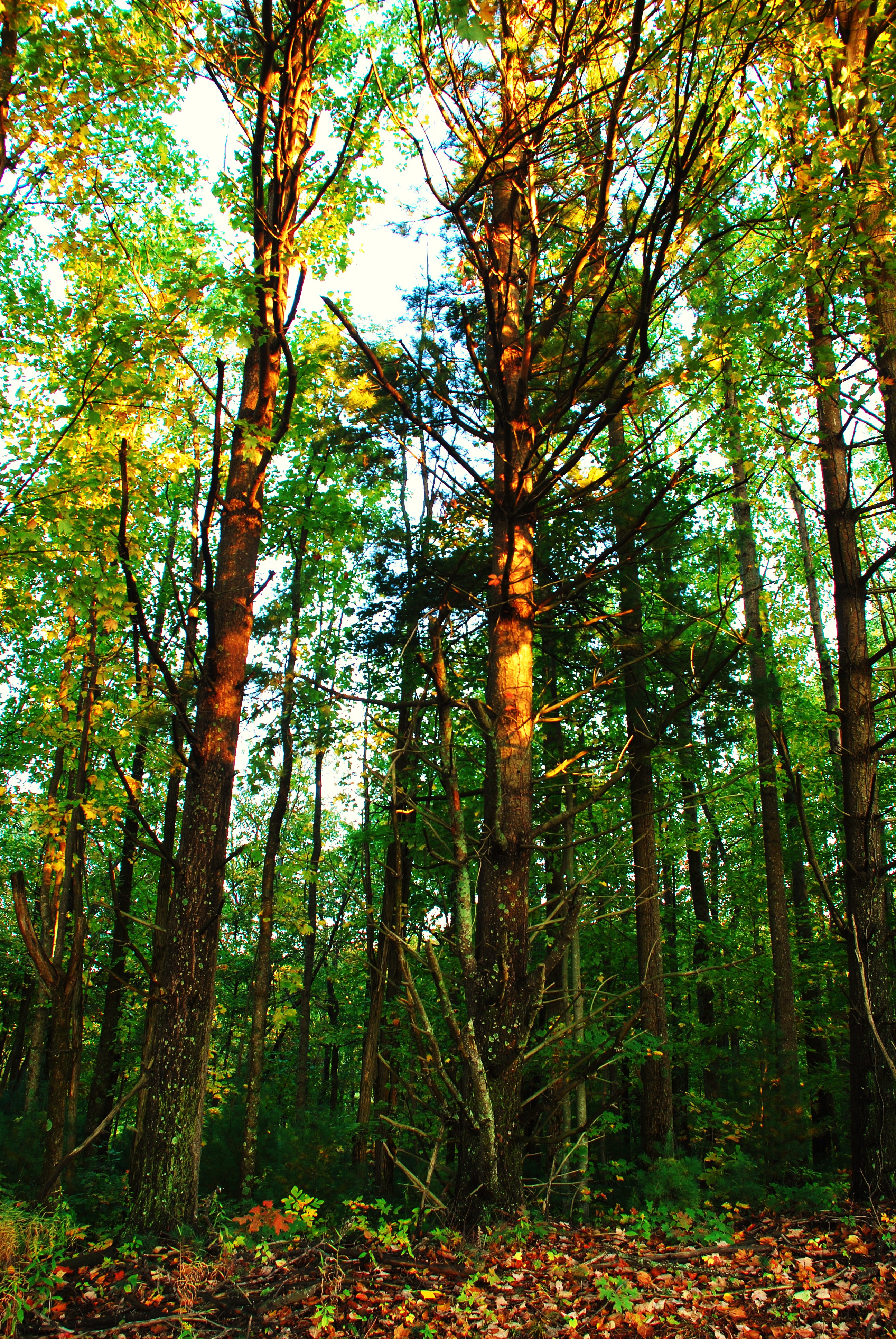
Tree's

PrimlandEvenBetter-95

Blue Ridge Parkway || just as the leaves started to change we took a drive down one of the most beautiful roads on the #east coast. #pisgah #pisgahnationalforest #blueridgeparkway #blueridgemountains #blueridge #explore #exploremore #rei #rei1440project #

Storm over the Orchard

Lover's Leap Wayside III - Meadows of Dan, VA
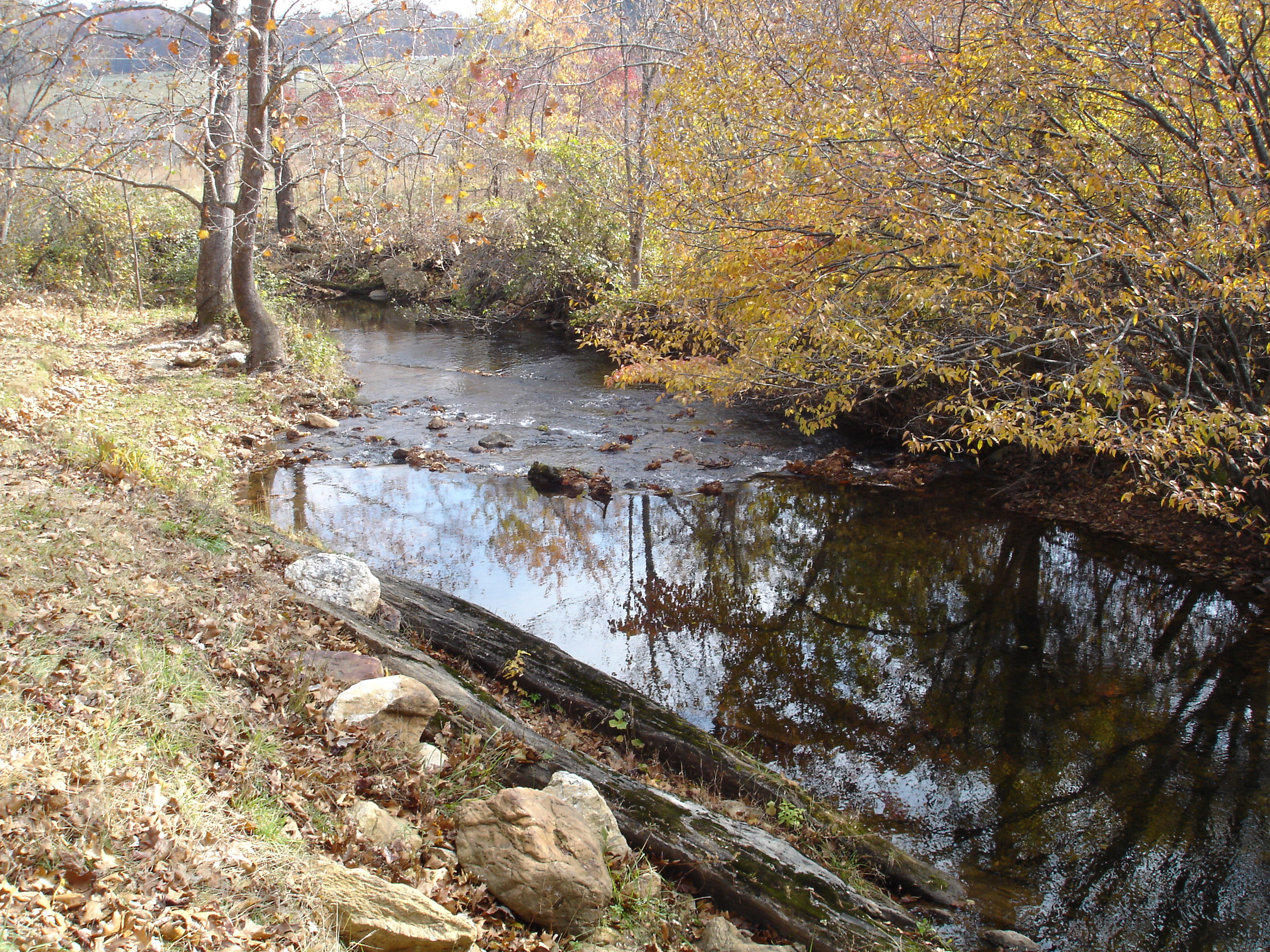
Jack's Creek

Buffalo Mountain Church

Clay in flight

Lover's Leap Wayside I - Meadows of Dan, VA

2012-11-11 11.32.50.jpg

IMG_0098.JPG
Topographic Map of Hillcrest St, Stuart, VA, USA
Find elevation by address:

Places near Hillcrest St, Stuart, VA, USA:
103 Mountain View Heights
Stuart
Ashby Drive
1190 Dobyns Rd
353 Barnes Ln
Carter Mountain
Stuart, VA, USA
Commerce Drive
Fairview Pentecostal Holiness Church
1648 Shingle Shop Rd
6032 Salem Hwy
Doctor Kay Lane
Dobyns Road
265 Lottie Ln
120 Robertson Dr
1394 Poplar Dr
Rye Cove Creek Road
1986 Central Academy Rd
595 Woolwine Hwy
565 Woolwine Hwy
Recent Searches:
- Elevation of Zu den Ihlowbergen, Althüttendorf, Germany
- Elevation of Badaber, Peshawar, Khyber Pakhtunkhwa, Pakistan
- Elevation of SE Heron Loop, Lincoln City, OR, USA
- Elevation of Slanický ostrov, 01 Námestovo, Slovakia
- Elevation of Spaceport America, Co Rd A, Truth or Consequences, NM, USA
- Elevation of Warwick, RI, USA
- Elevation of Fern Rd, Whitmore, CA, USA
- Elevation of 62 Abbey St, Marshfield, MA, USA
- Elevation of Fernwood, Bradenton, FL, USA
- Elevation of Felindre, Swansea SA5 7LU, UK