Elevation of Stuart, VA, USA
Location: United States > Virginia > Patrick County > Smith River >
Longitude: -80.254435
Latitude: 36.6617693
Elevation: 451m / 1480feet
Barometric Pressure: 96KPa
Elevation Map:
Satellite Map:
Related Photos:
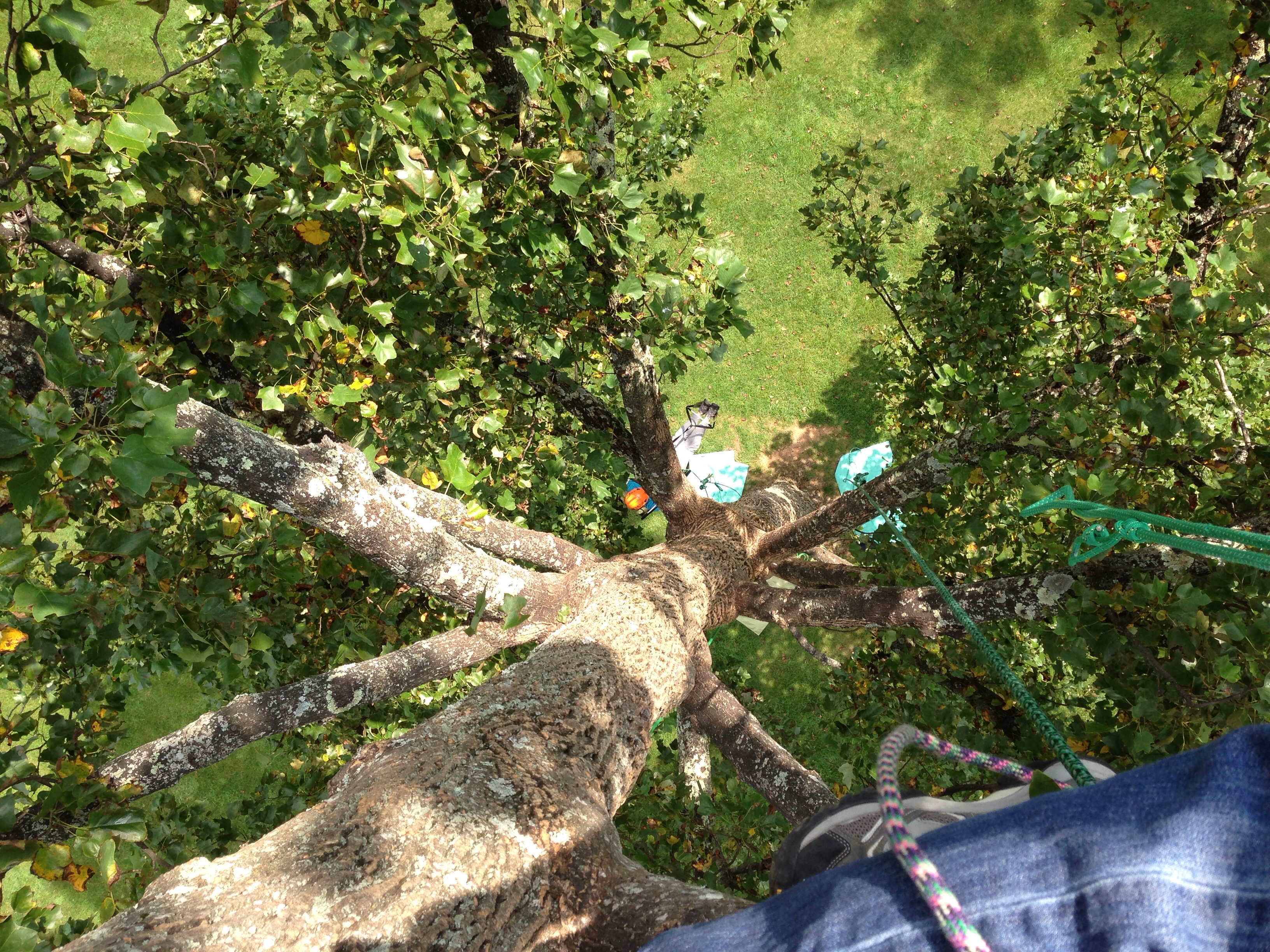
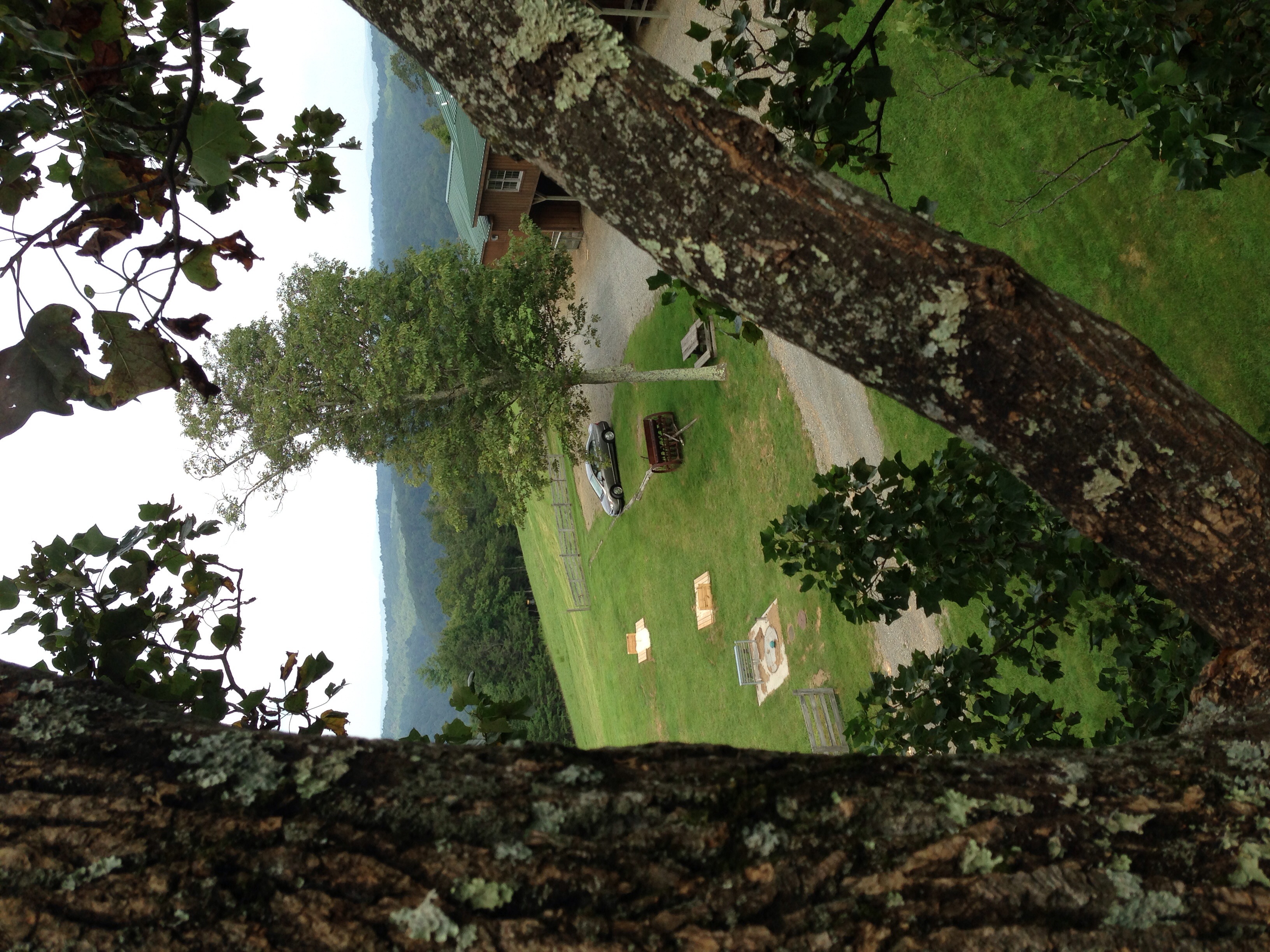
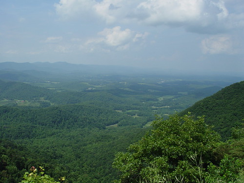
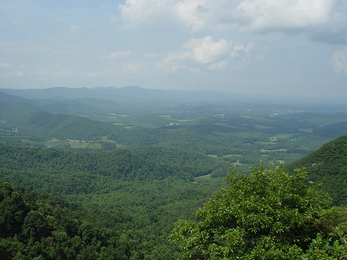
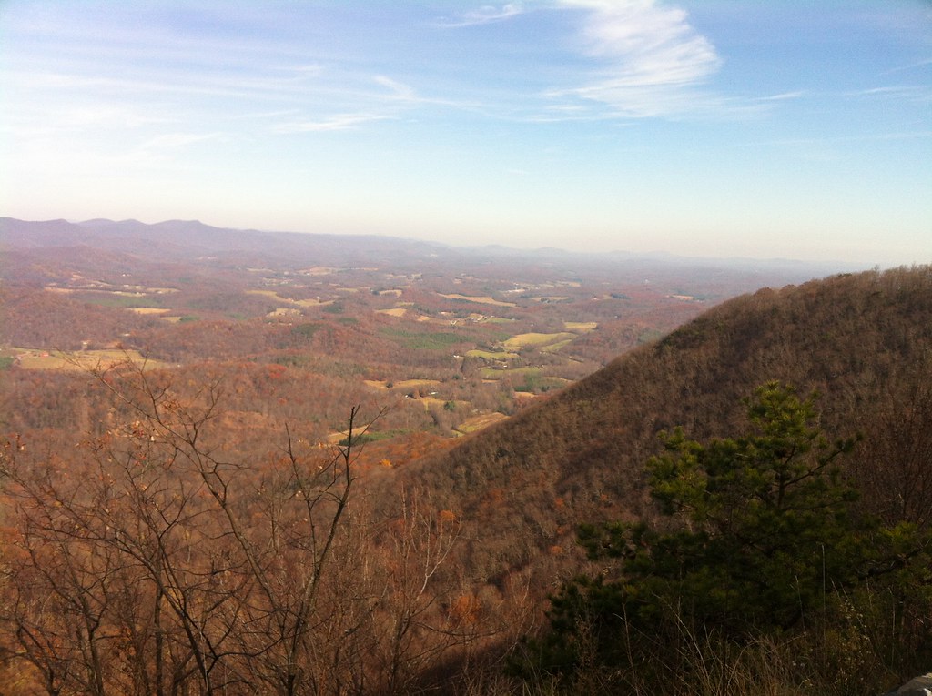
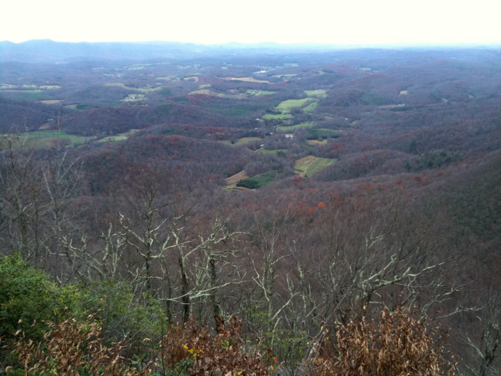
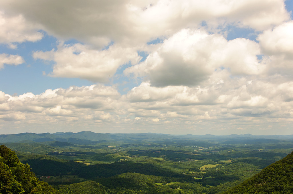
View down from the top
View from Above
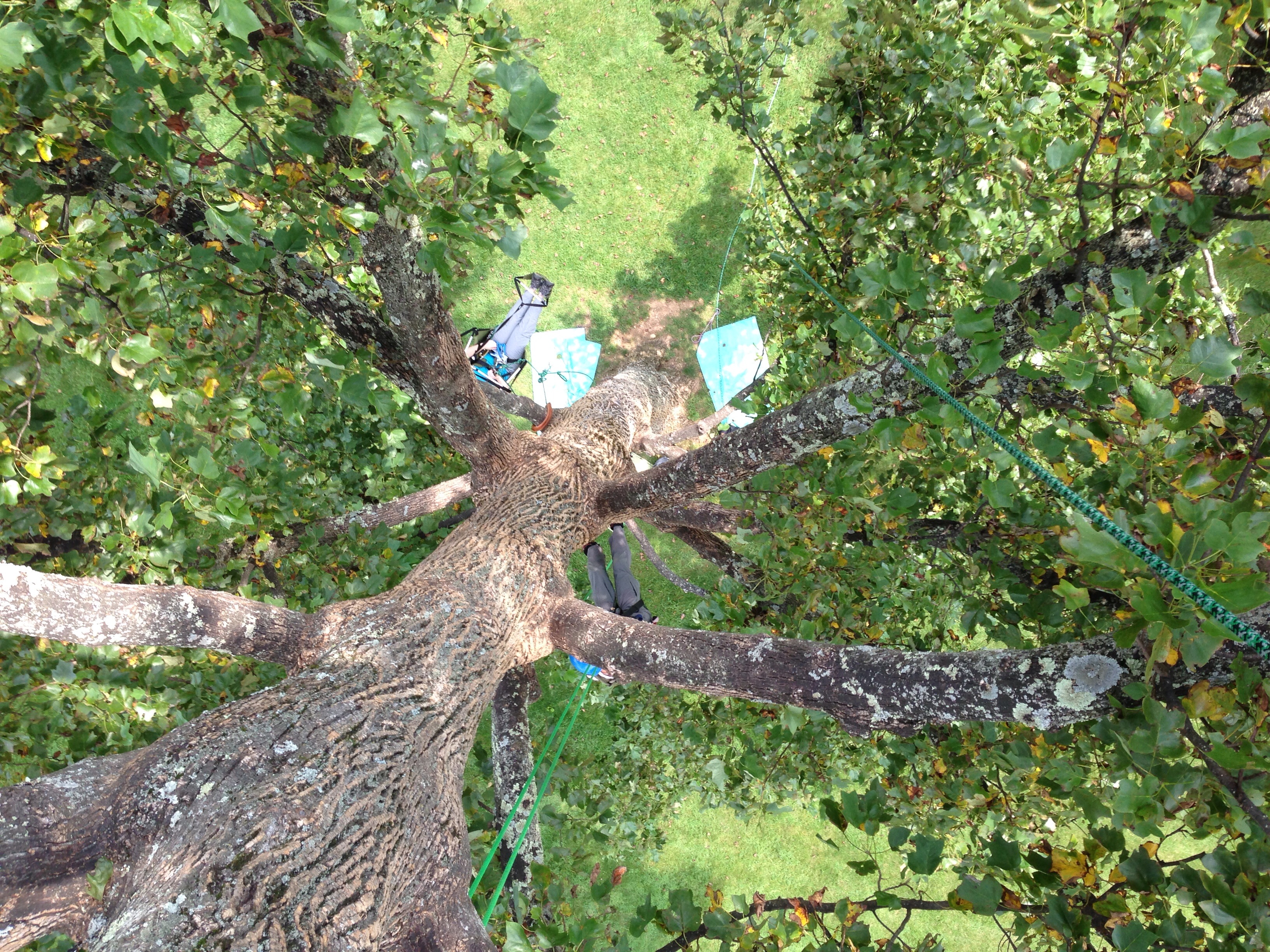
View down from the top

View from Fred never lets me down.
View from Lovers Leap

View from the top
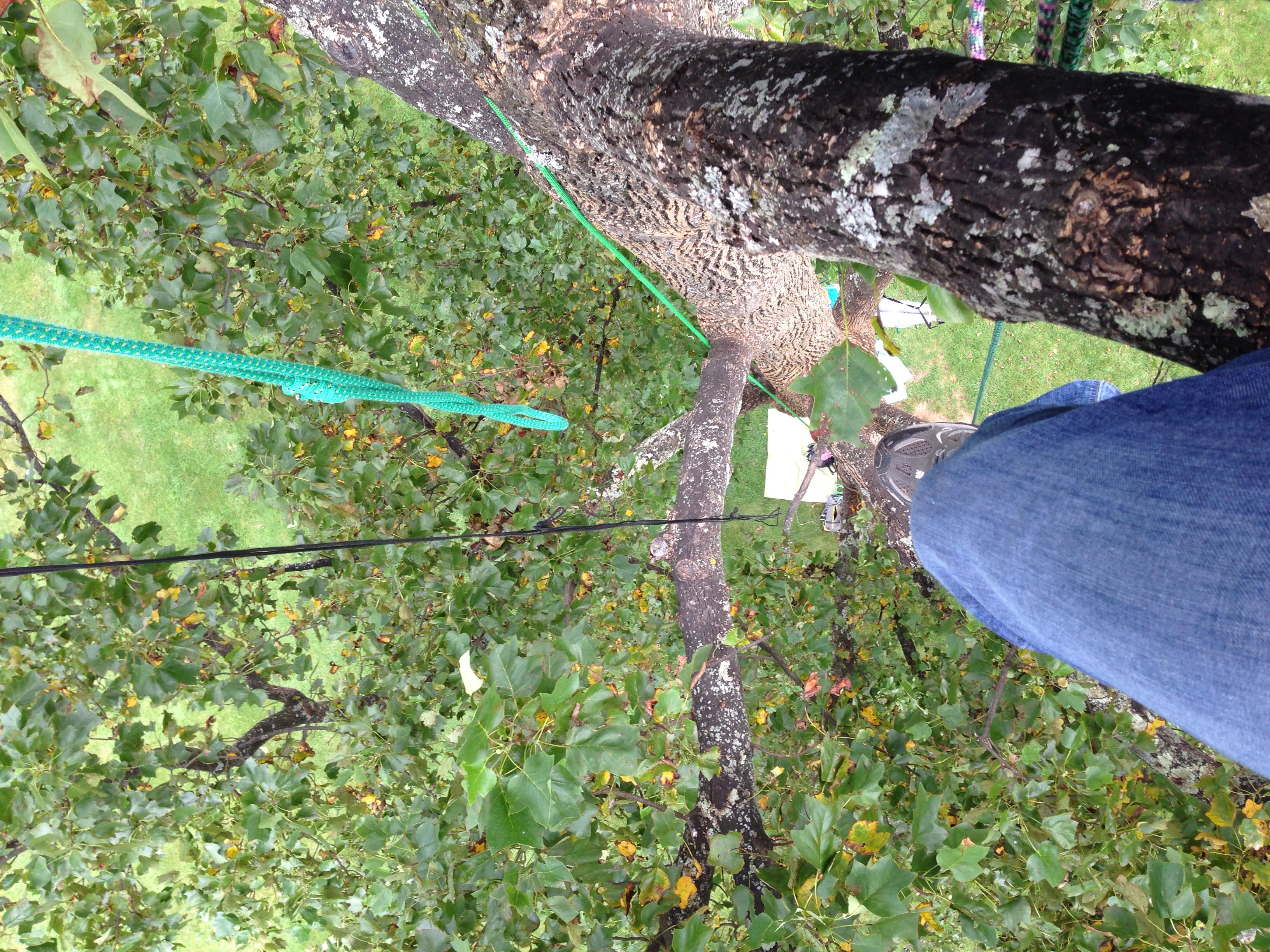
View down from the top
View from the top
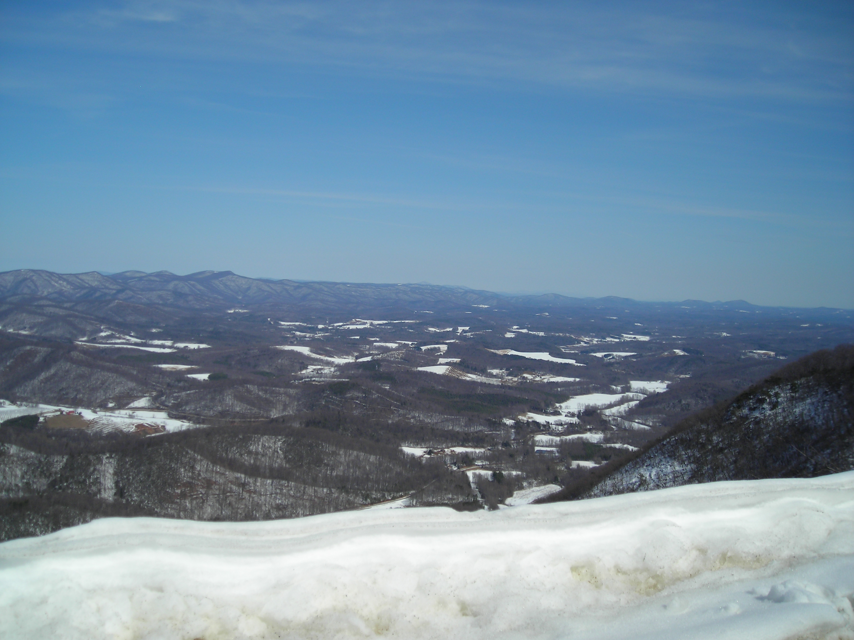
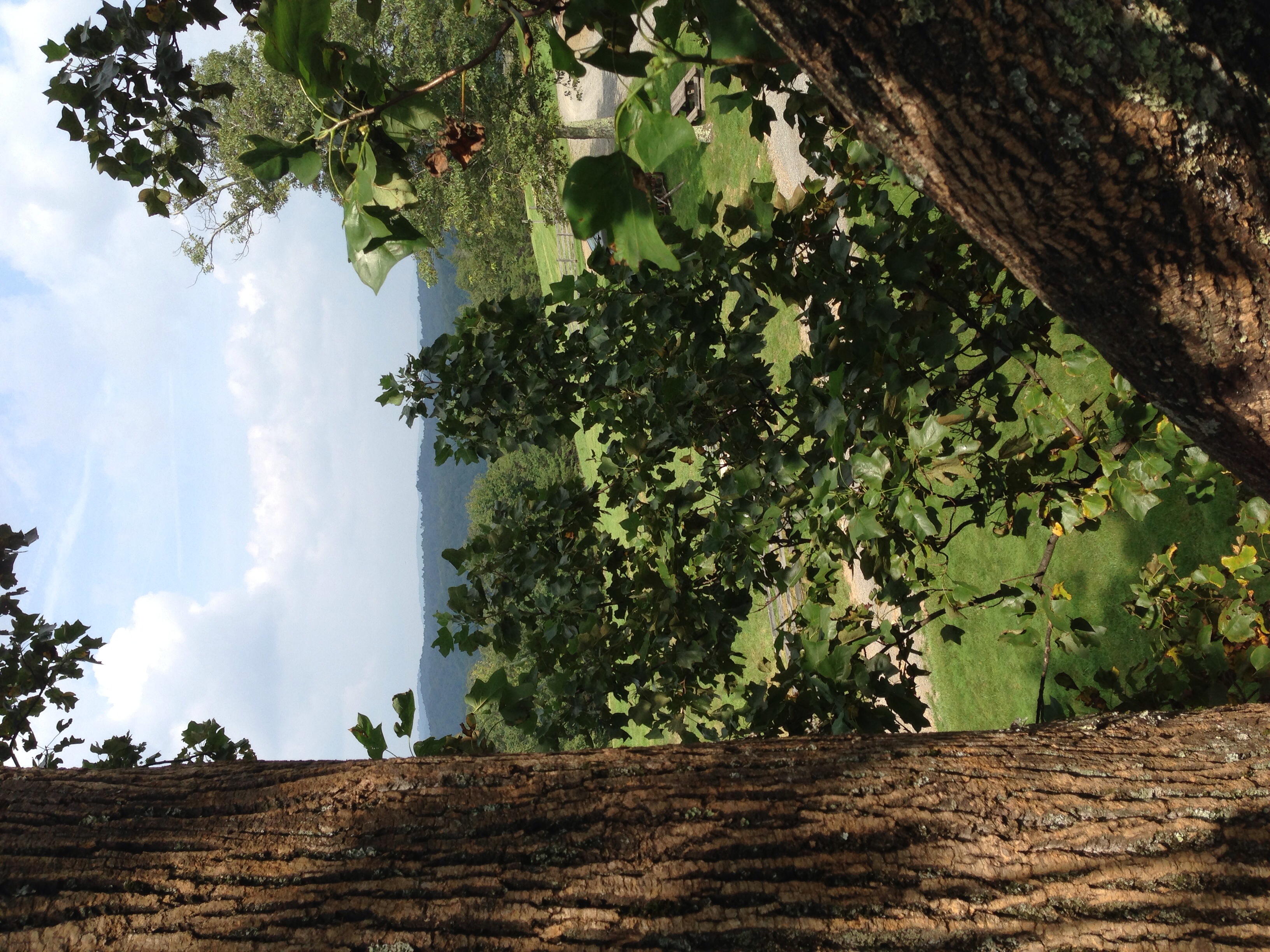
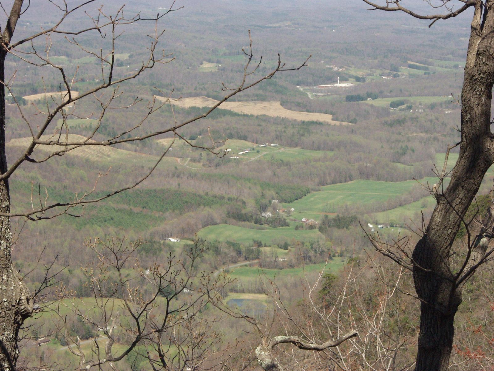
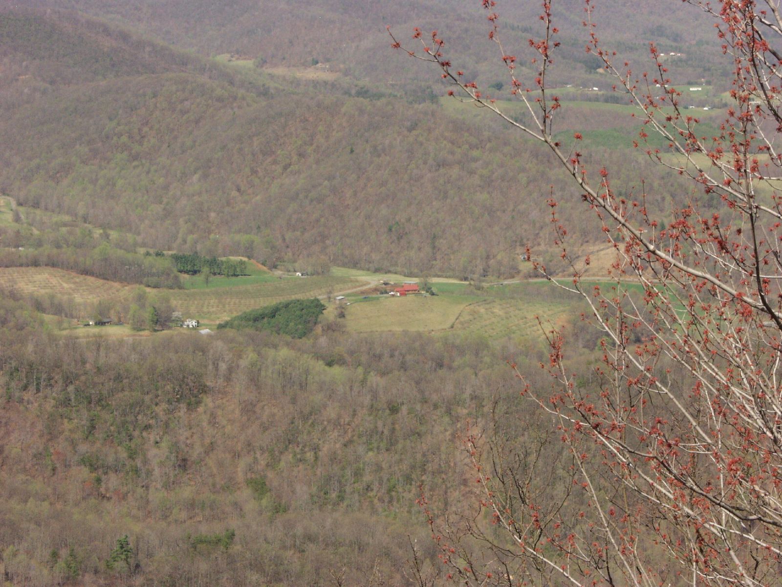
View of the valley
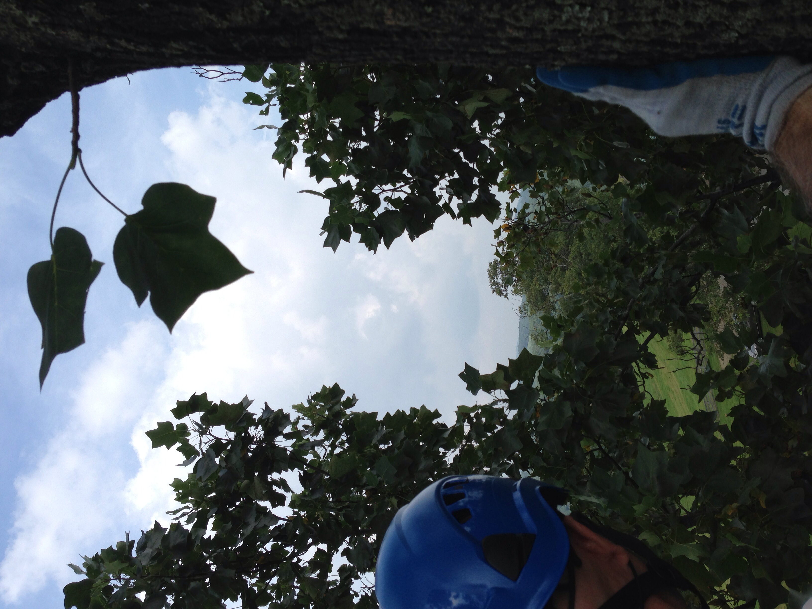
Lover's Leap
Middle tree view - with the car!

VA 8 North approaching VA 103
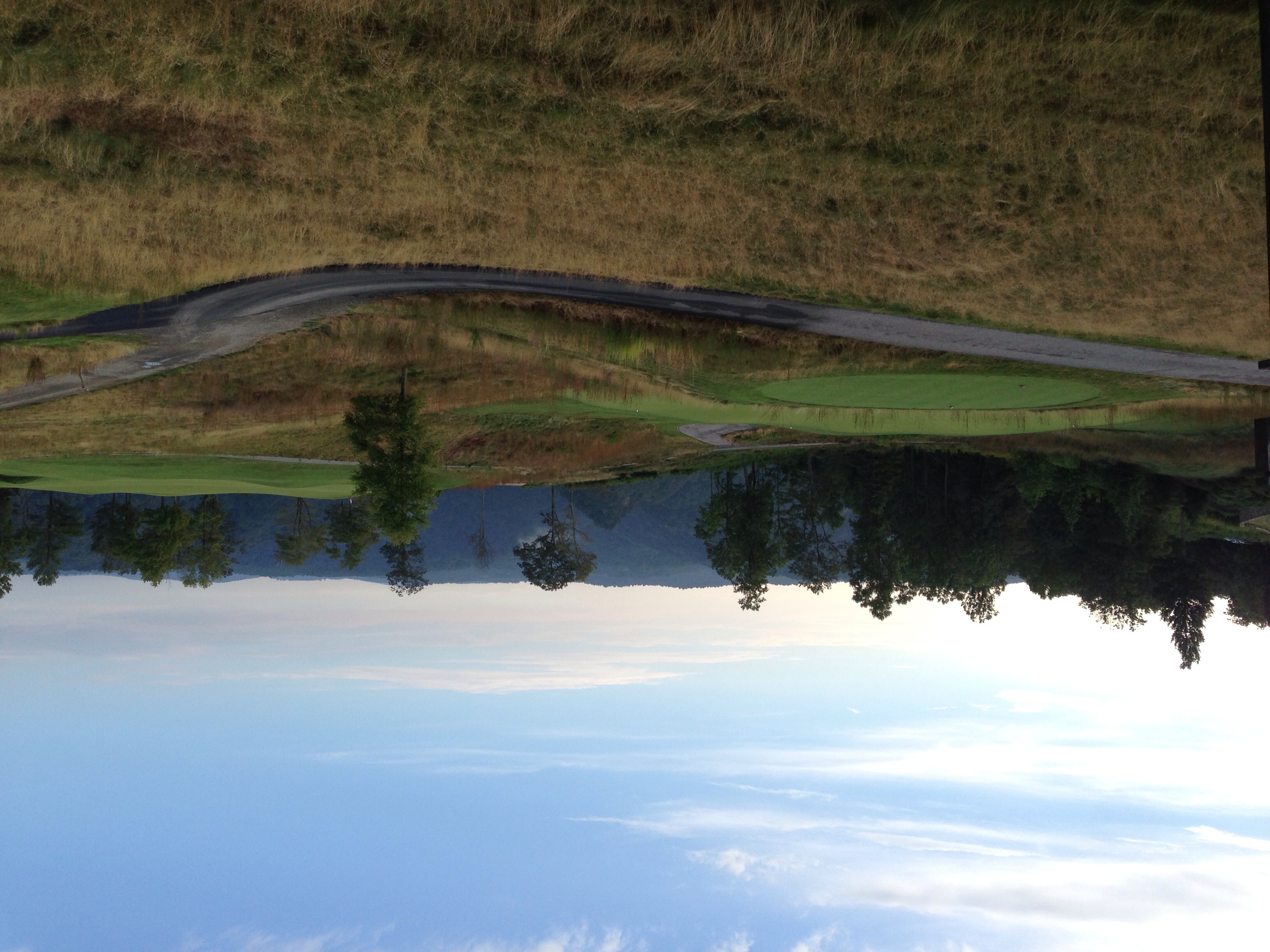
The highlands course at Primland
Lover's Leap
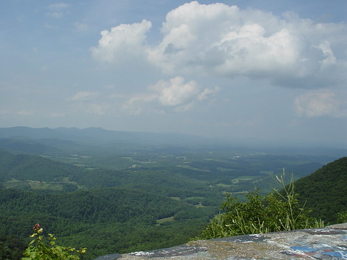
Lover Leap

The highlands course at Primland
Lovers Leap
View from the top
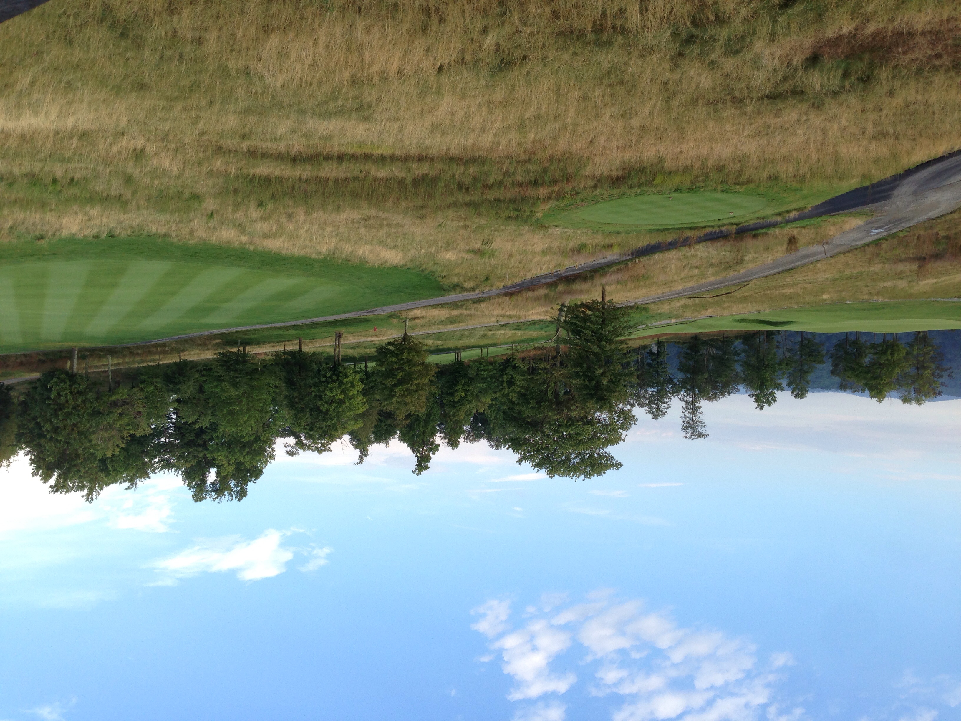
The highlands course at Primland
Lovers Leap

A different view of the Apple Tree of Spite.

Meadows of Dan, VA

Tree's

Bob White Covered Bridge, Virginia

Chairs tucked away.

The Bent Road.

Tree's

A wave is trying to break out at dawn.
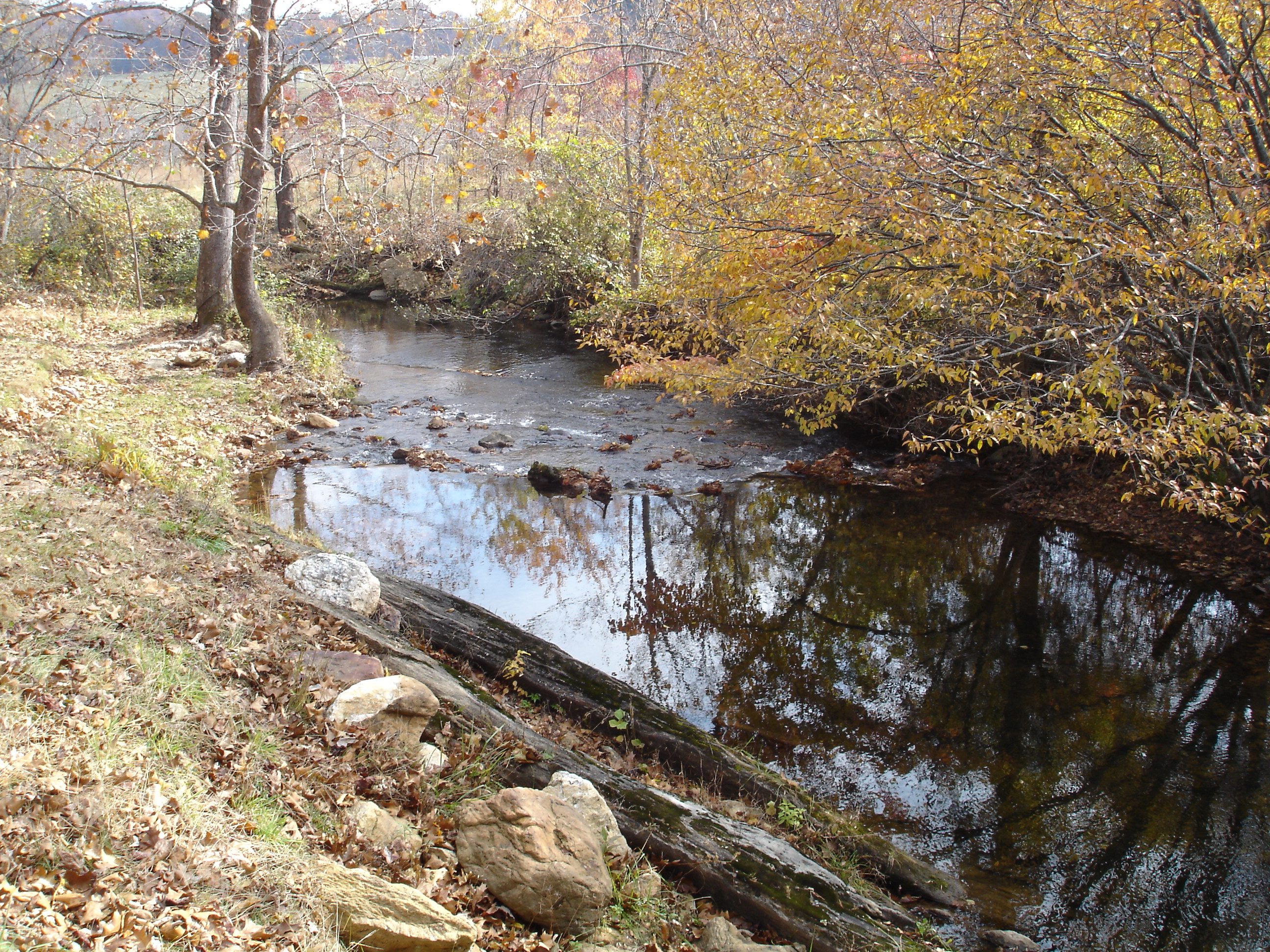
Jack's Creek
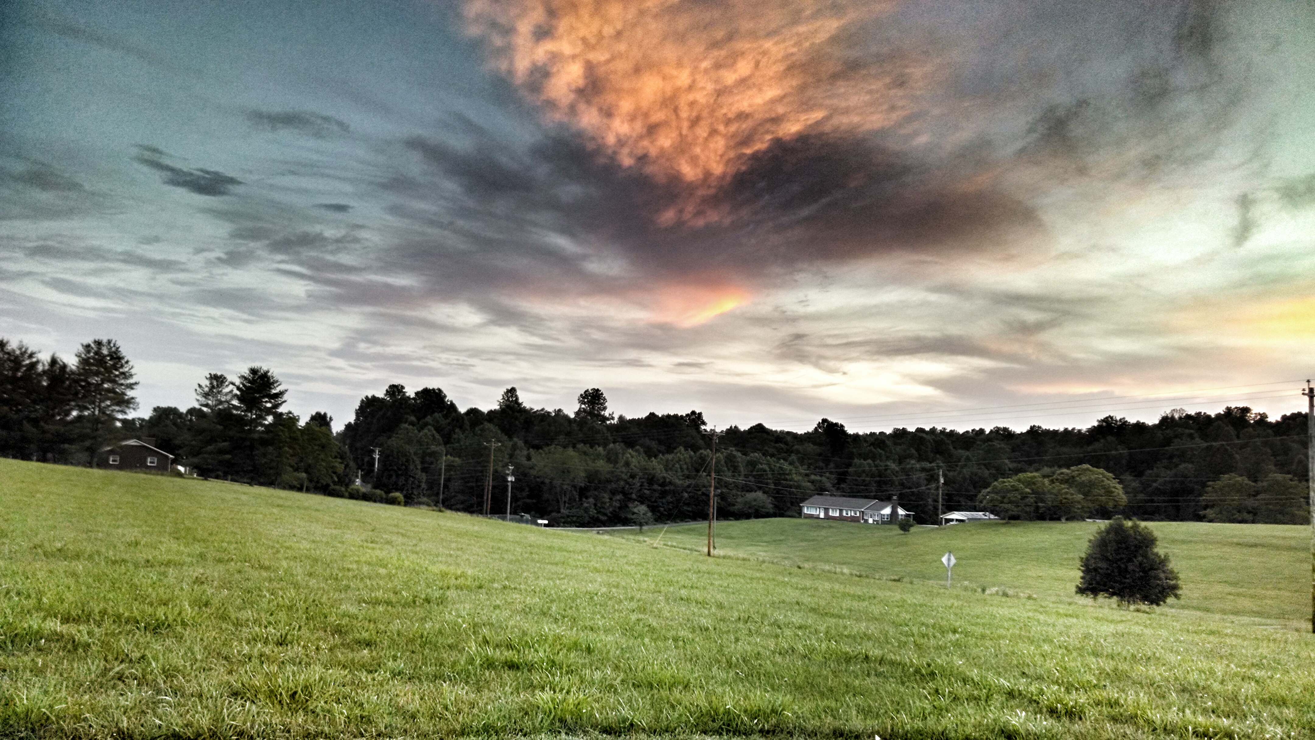
Pretty evening

Moss ruleth. -Fred Cifton Park.

Lover's Leap #mountains #virginia #outdoors

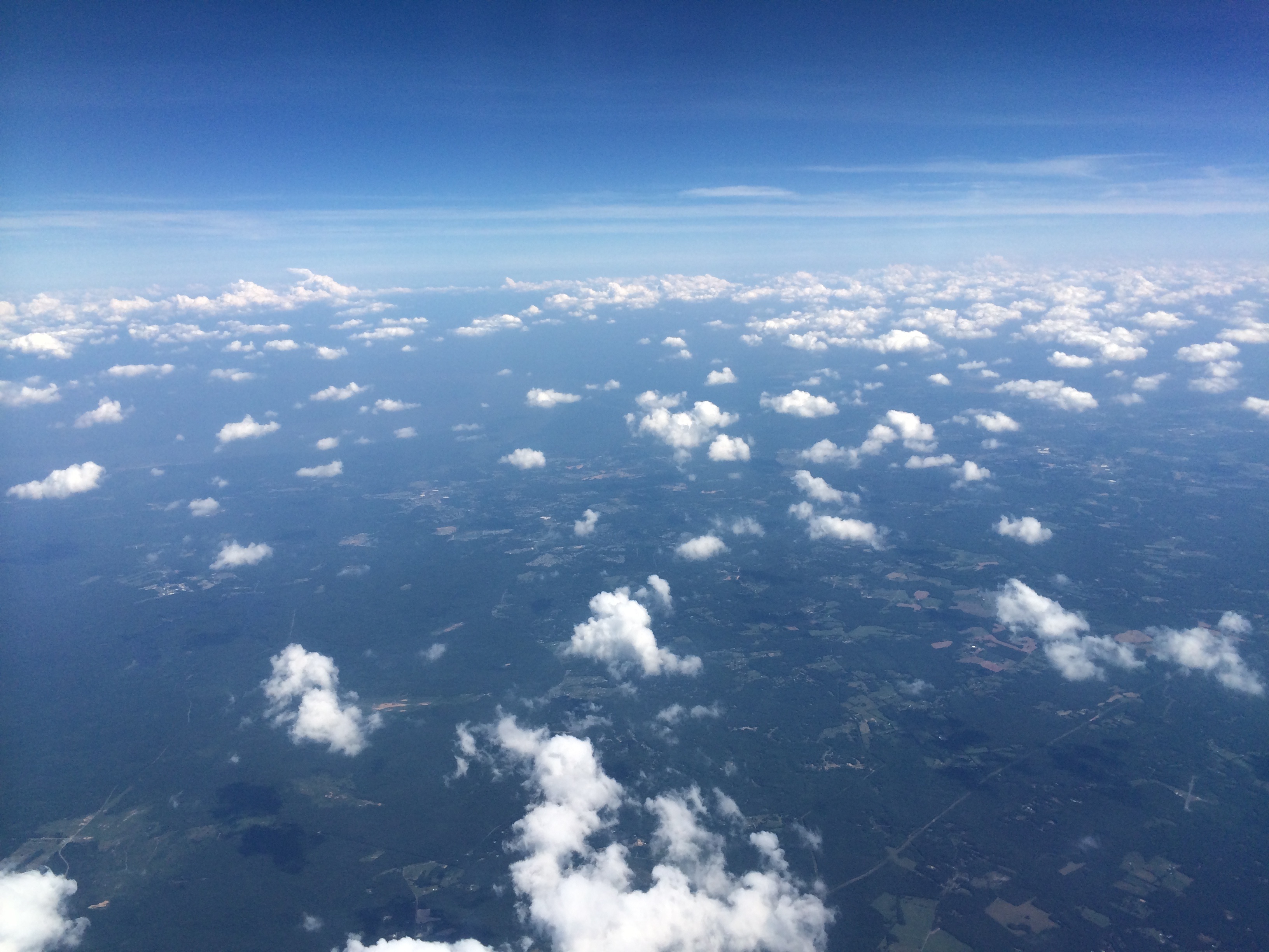
Wave clouds all up close and personal.

Wave after wave, cloud after cloud, time after time. Up close, they take on weird shapes. Like we all do, really.
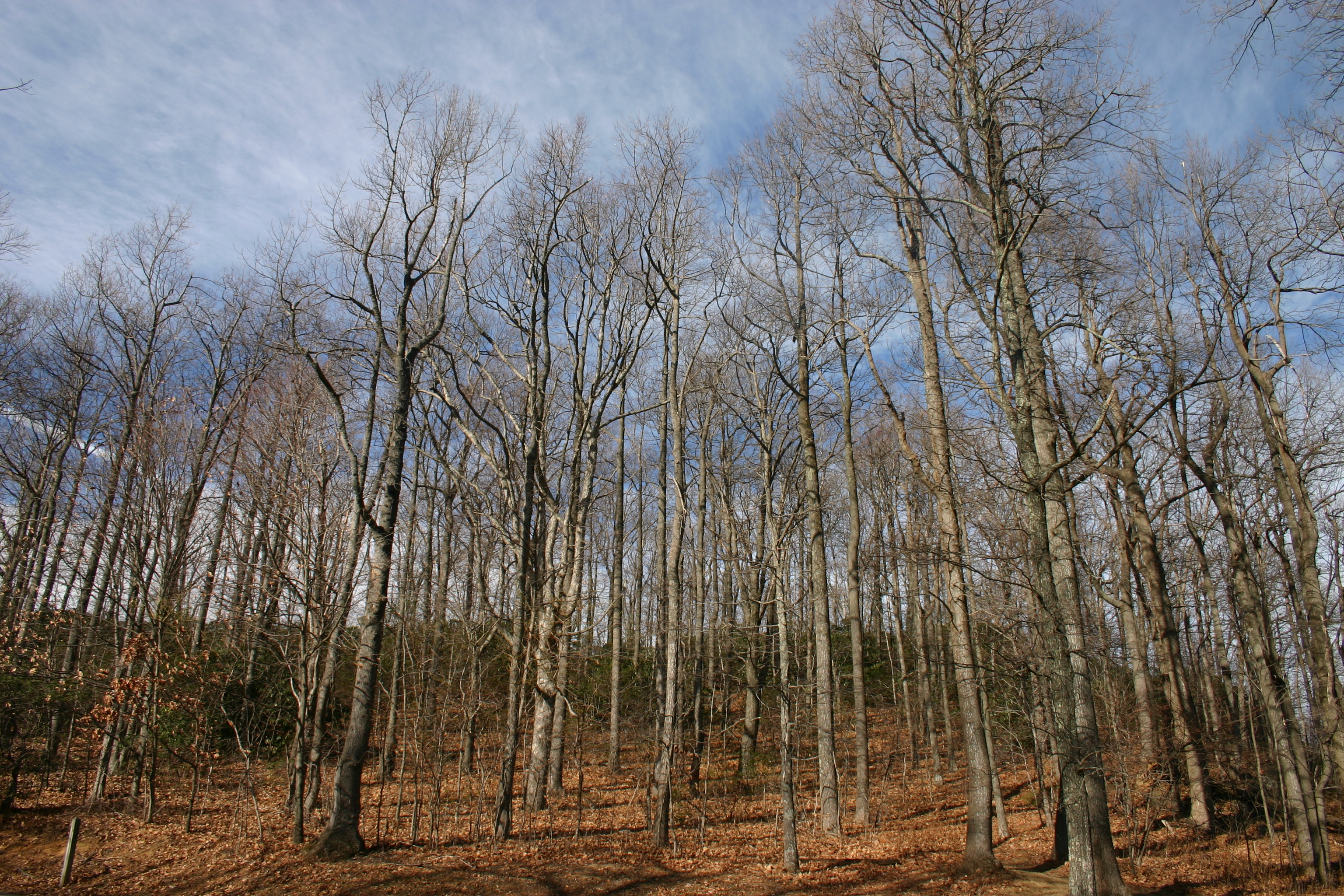
Bare Trees
2012-11-11 11.32.50.jpg
IMG_0098.JPG

One more trail to cut to the SE (left of image).
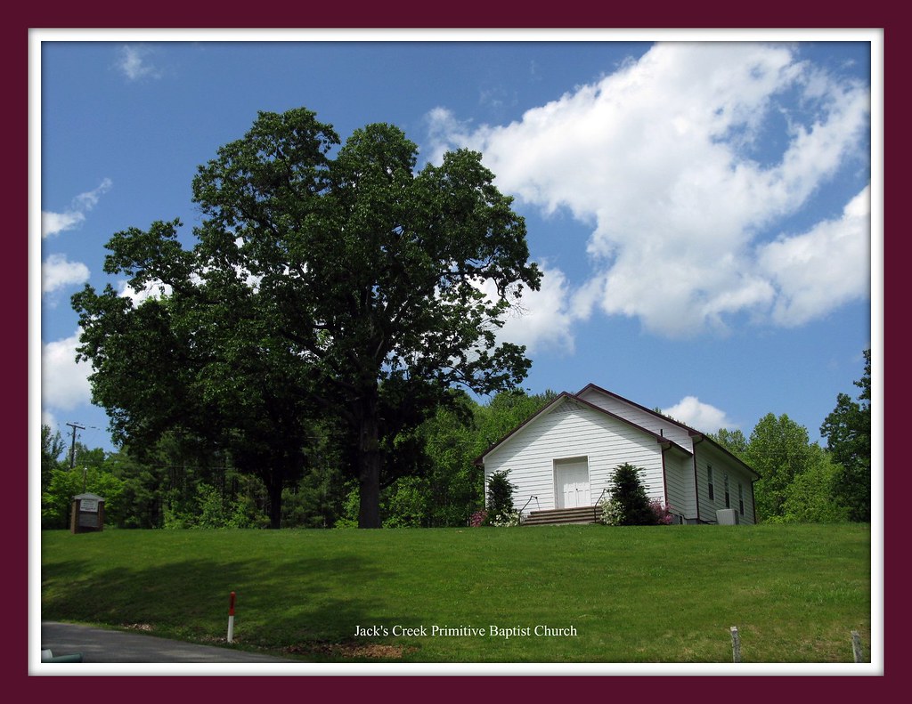
That Little Old Church
Where the Ground Meets the Sky (TNT - Two For One)
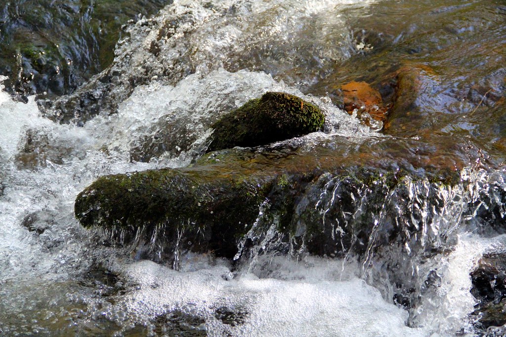
Rock Castle Creek

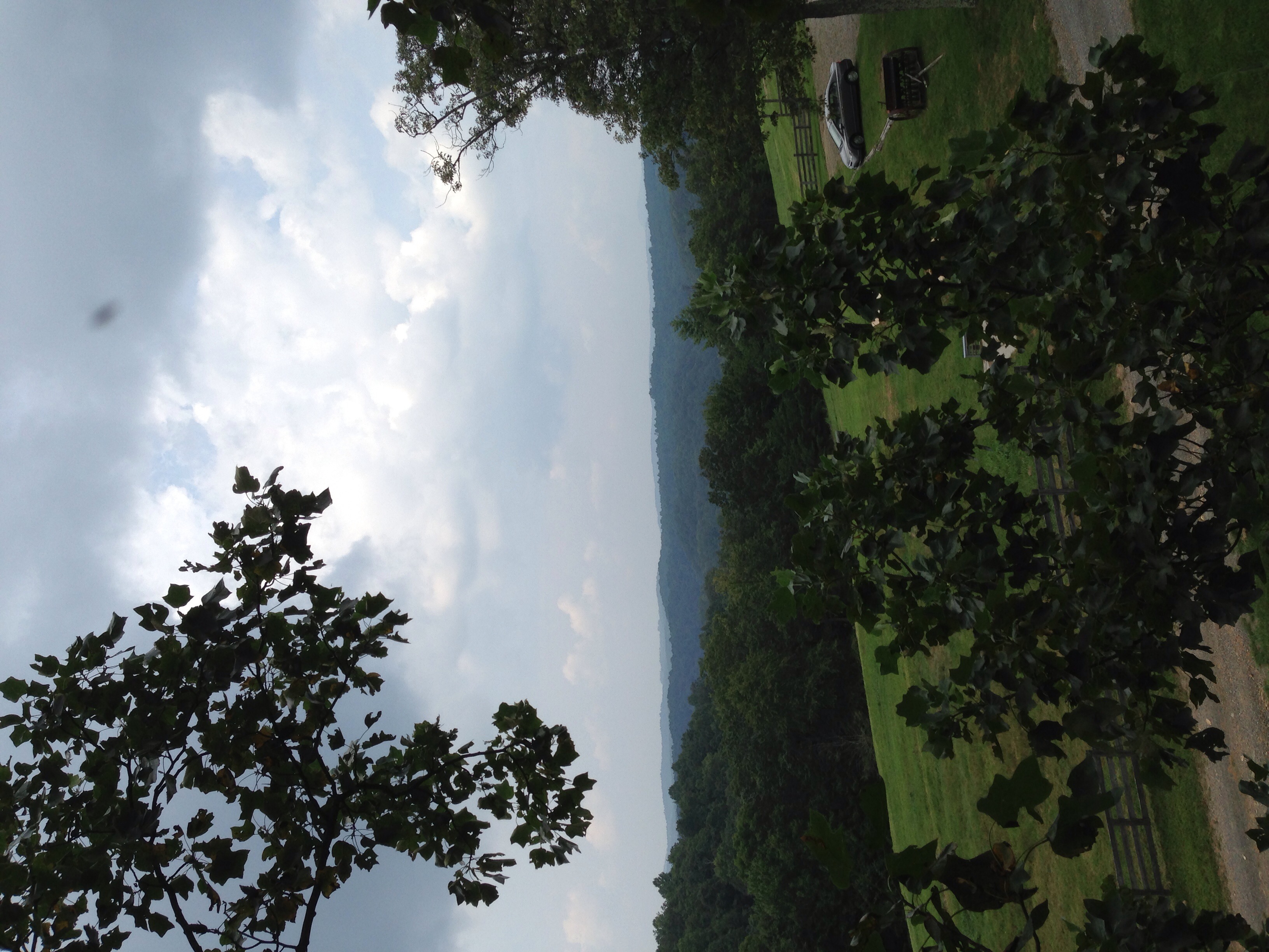
Storm Warning
Topographic Map of Stuart, VA, USA
Find elevation by address:

Places near Stuart, VA, USA:
Doctor Kay Lane
103 Mountain View Heights
Stuart
105 Hillcrest St
Commerce Drive
595 Woolwine Hwy
565 Woolwine Hwy
1190 Dobyns Rd
Ashby Drive
5387 Woolwine Hwy
1394 Poplar Dr
1986 Central Academy Rd
370 Rustic Ridge Rd
353 Barnes Ln
Valley Lane
661 Taylor View Dr
Carter Mountain
1648 Shingle Shop Rd
Red Oak Lane
Patrick Springs
Recent Searches:
- Elevation of Unnamed Road, Respublika Severnaya Osetiya — Alaniya, Russia
- Elevation of Verkhny Fiagdon, North Ossetia–Alania Republic, Russia
- Elevation of F. Viola Hiway, San Rafael, Bulacan, Philippines
- Elevation of Herbage Dr, Gulfport, MS, USA
- Elevation of Lilac Cir, Haldimand, ON N3W 2G9, Canada
- Elevation of Harrod Branch Road, Harrod Branch Rd, Kentucky, USA
- Elevation of Wyndham Grand Barbados Sam Lords Castle All Inclusive Resort, End of Belair Road, Long Bay, Bridgetown Barbados
- Elevation of Iga Trl, Maggie Valley, NC, USA
- Elevation of N Co Rd 31D, Loveland, CO, USA
- Elevation of Lindever Ln, Palmetto, FL, USA