Elevation of Stuart, VA, USA
Location: United States > Virginia >
Longitude: -80.269396
Latitude: 36.6363992
Elevation: 363m / 1191feet
Barometric Pressure: 97KPa
Elevation Map:
Satellite Map:
Related Photos:
2013.10.25.04 Patrick

Inside view

2013.10.25.08 Patrick
View from Above

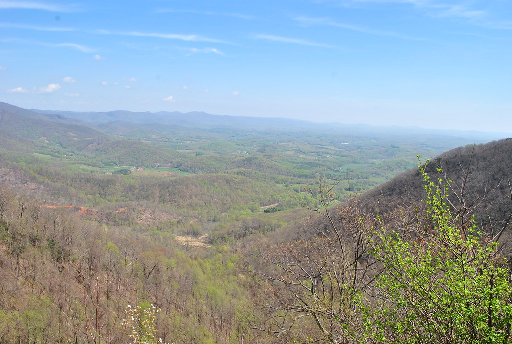
View from Fred never lets me down.
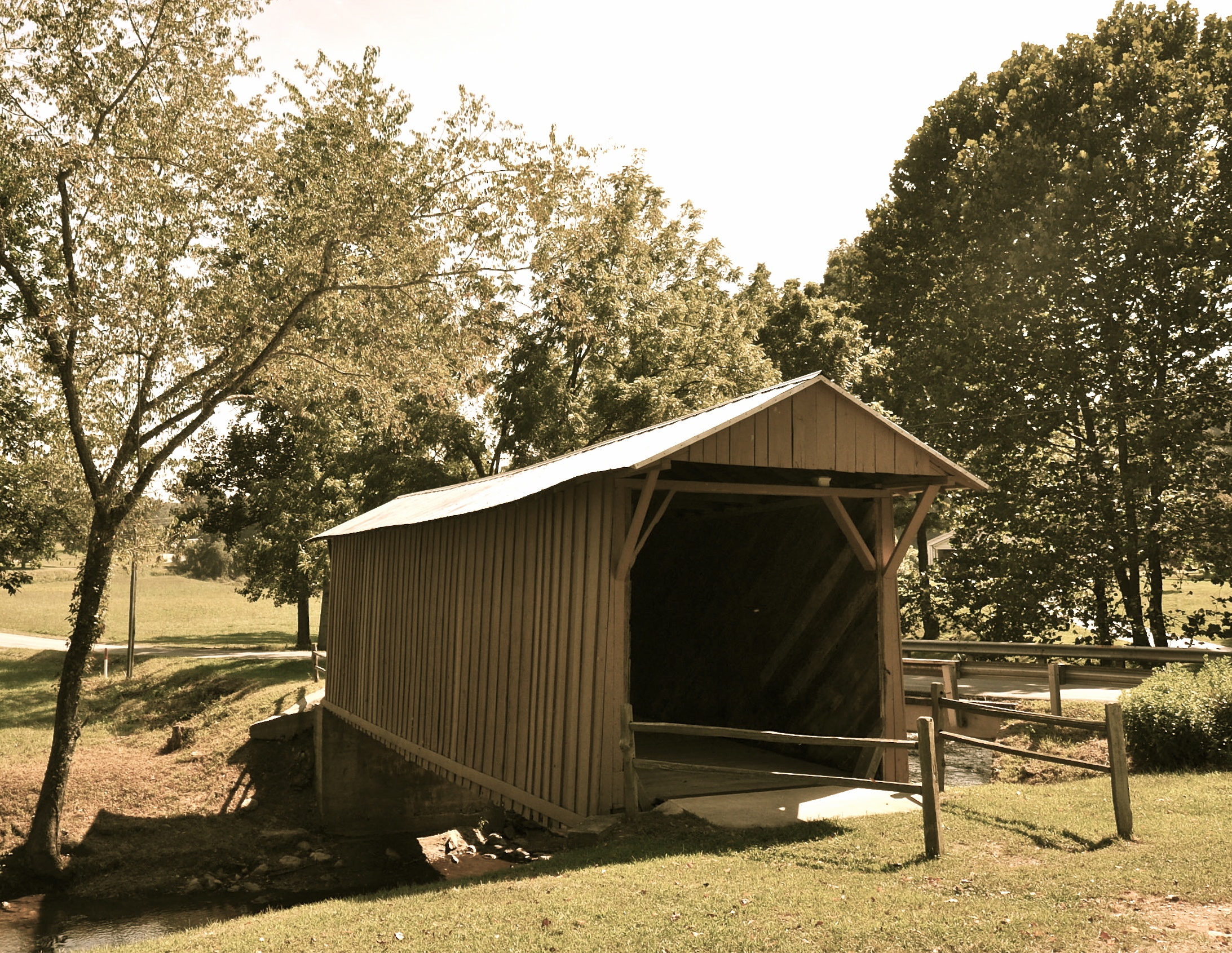
Jack's Creek Covered Bridge, Virginia (Second View)
2013.10.25.05 Patrick
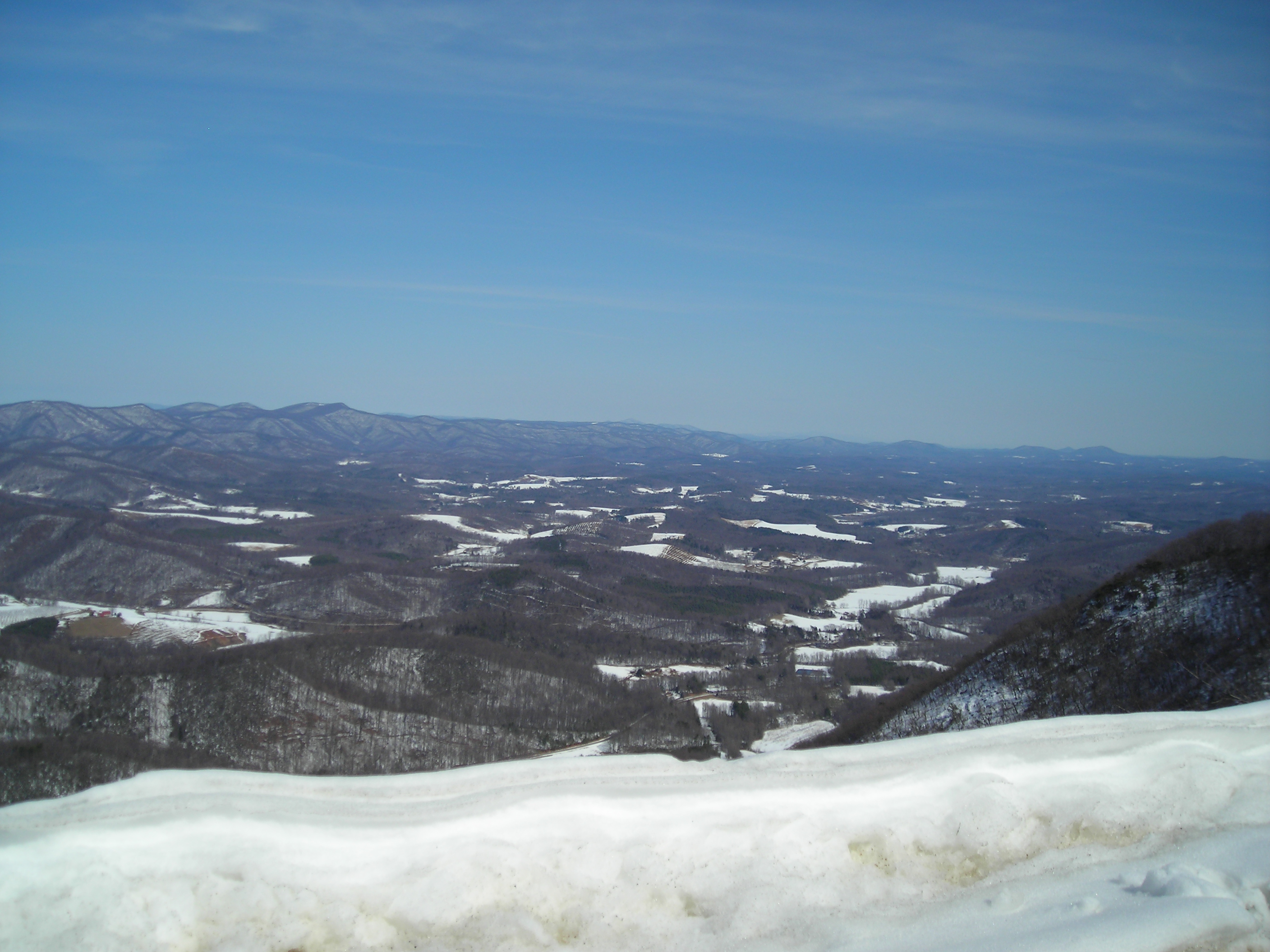
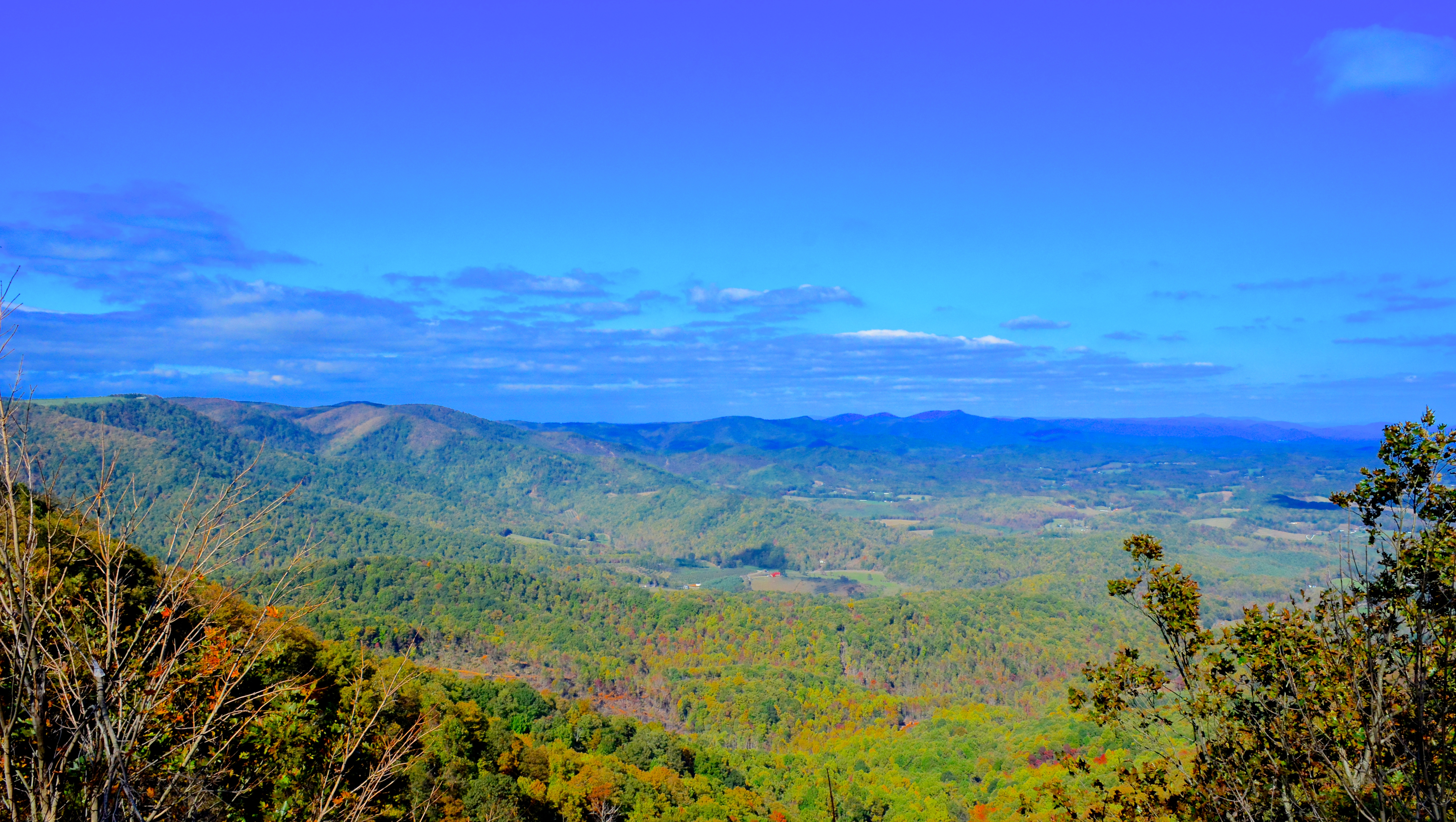
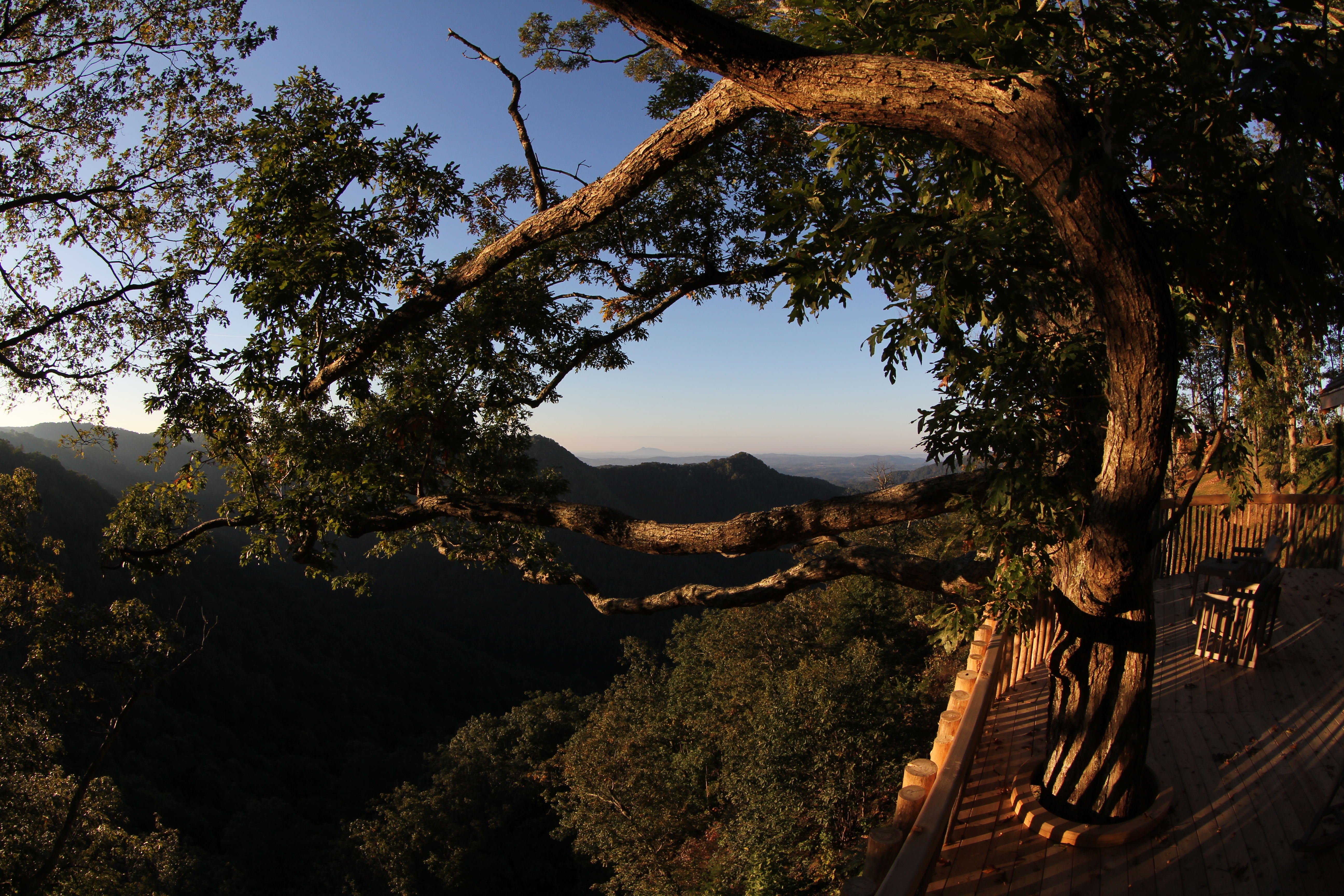
View from Lovers Leap
Lover's Leap
Lover Leap
Lover's Leap
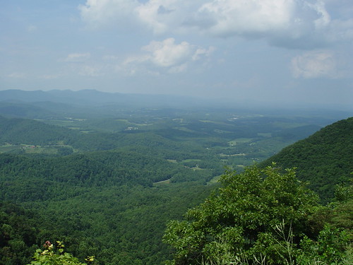
Lovers Leap
Lovers Leap

LOVER LEAP
LOVERS LEAP
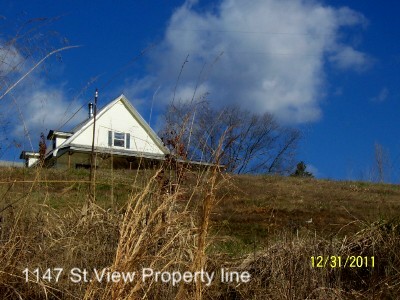
1147 St. View (3) Property line
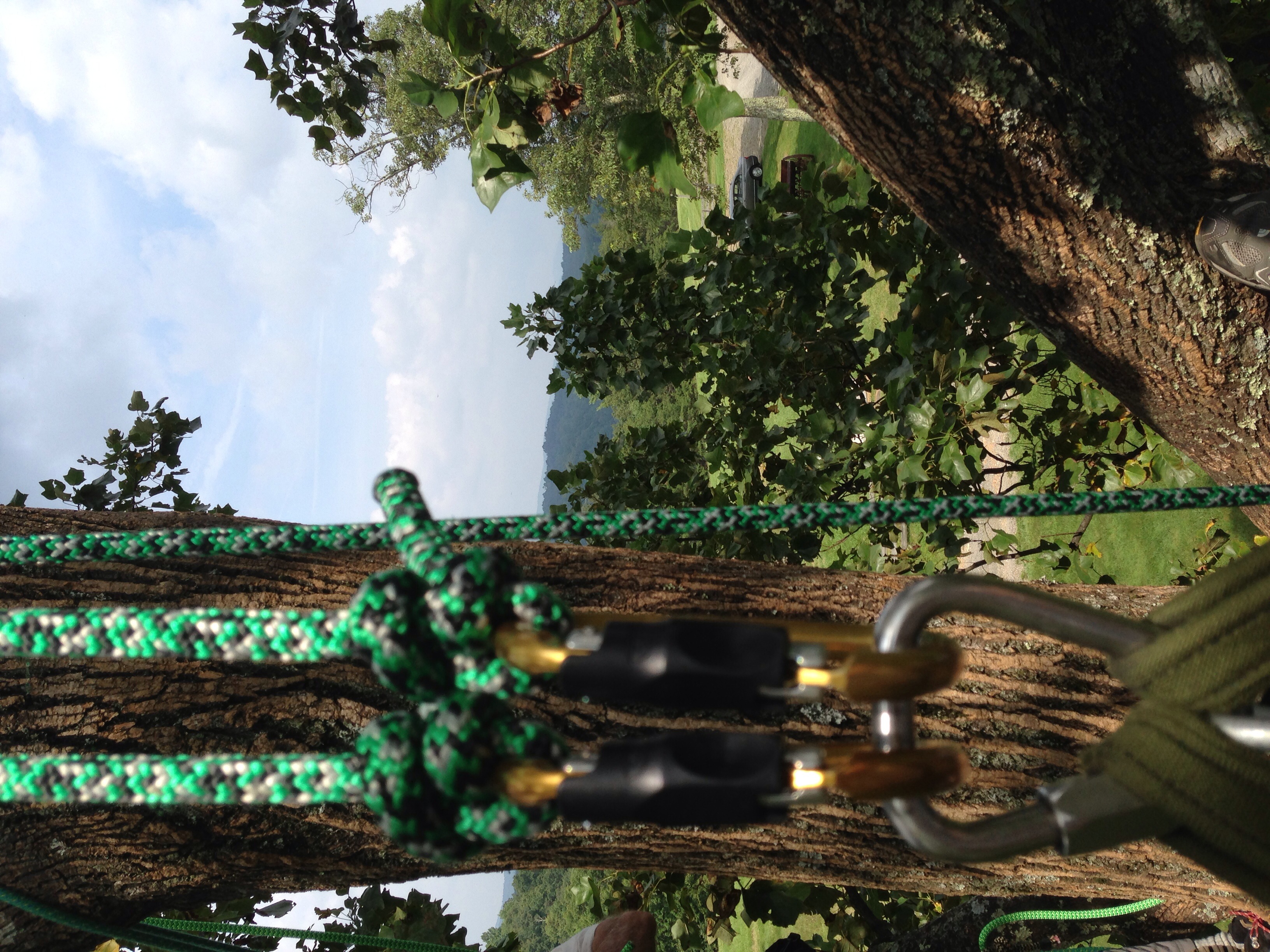
View from the top, with gear
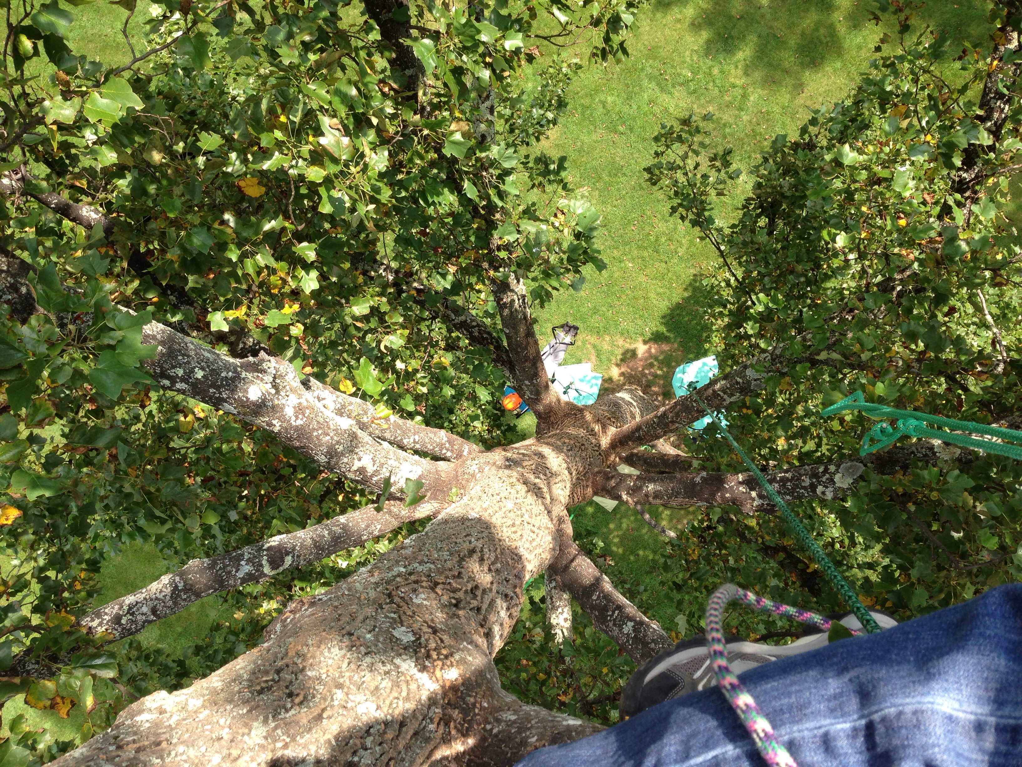
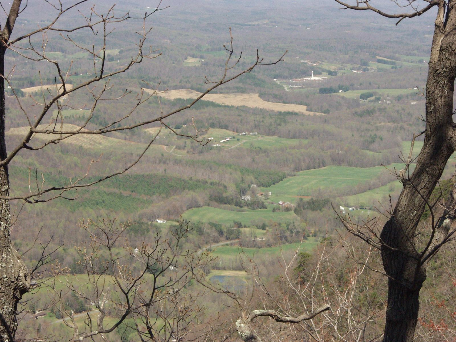
View down from the top
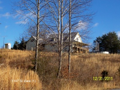
1147 St. View (1)
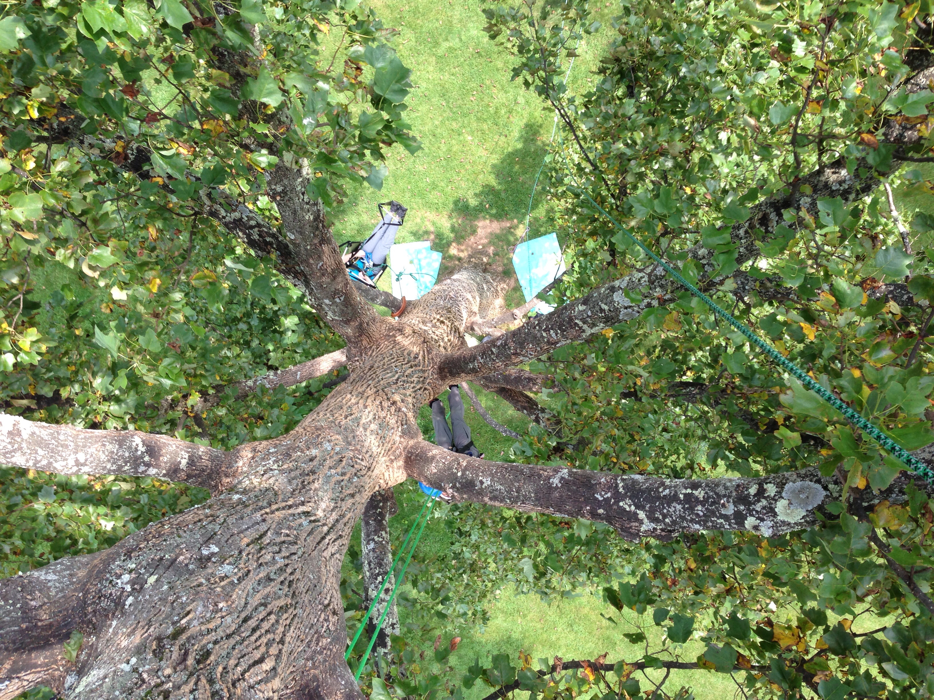
View down from the top

1147 St. View (2)

The Bent Road.

Bob White Covered Bridge, Virginia

The Bent Road.
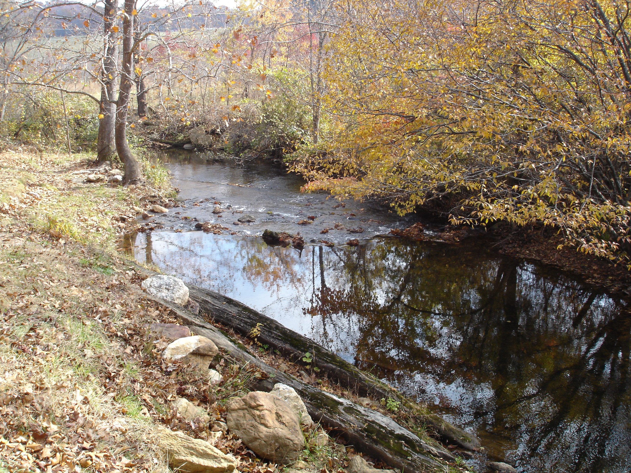
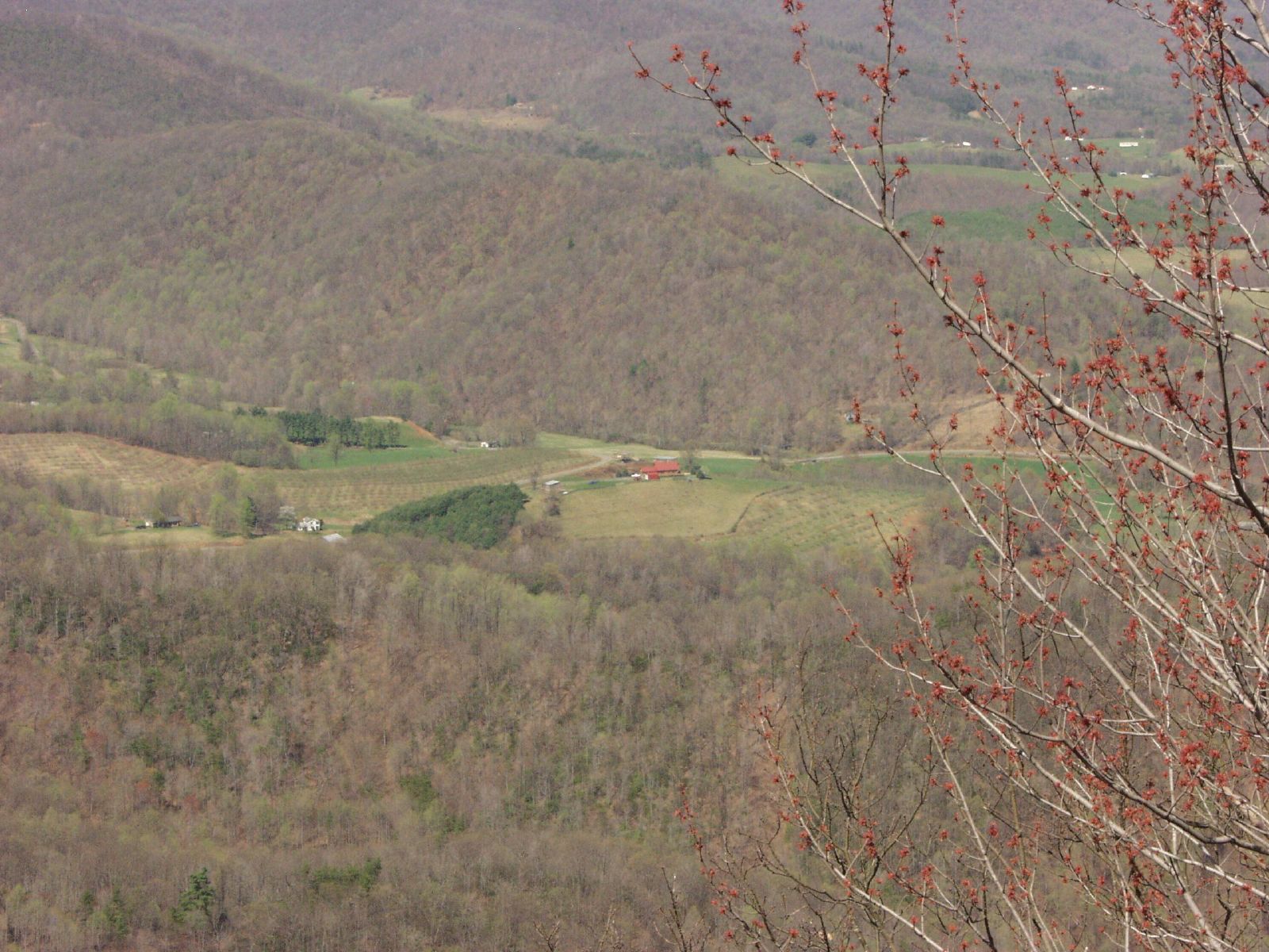
Jack's Creek
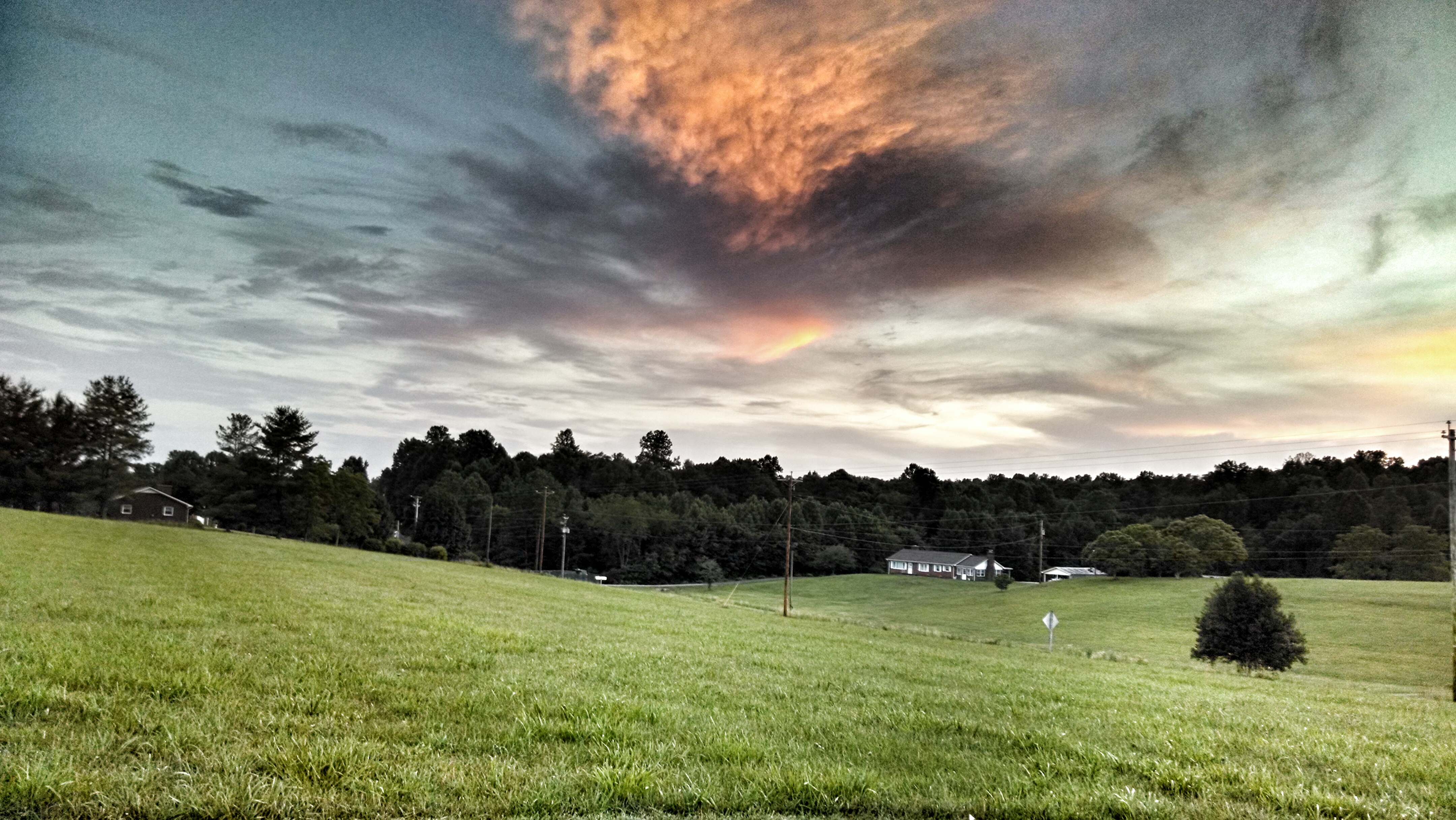
Pretty evening

Moss ruleth. -Fred Cifton Park.

Lover's Leap #mountains #virginia #outdoors
09 Primland Barn Owl Exteriors IMG_9807

Tree's

Chairs tucked away.

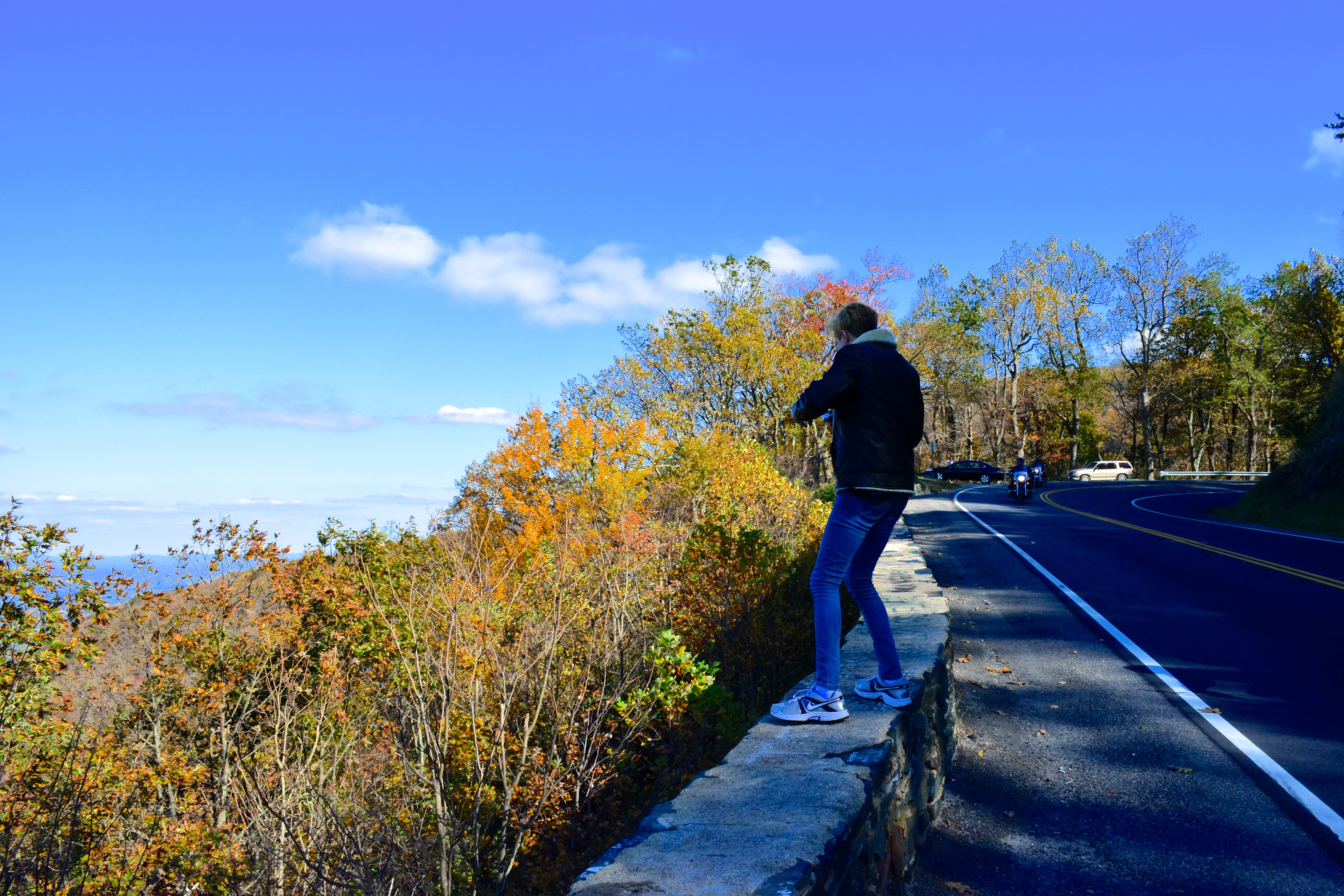
Blue Ridge Parkway || just as the leaves started to change we took a drive down one of the most beautiful roads on the #east coast. #pisgah #pisgahnationalforest #blueridgeparkway #blueridgemountains #blueridge #explore #exploremore #rei #rei1440project #

Tree's

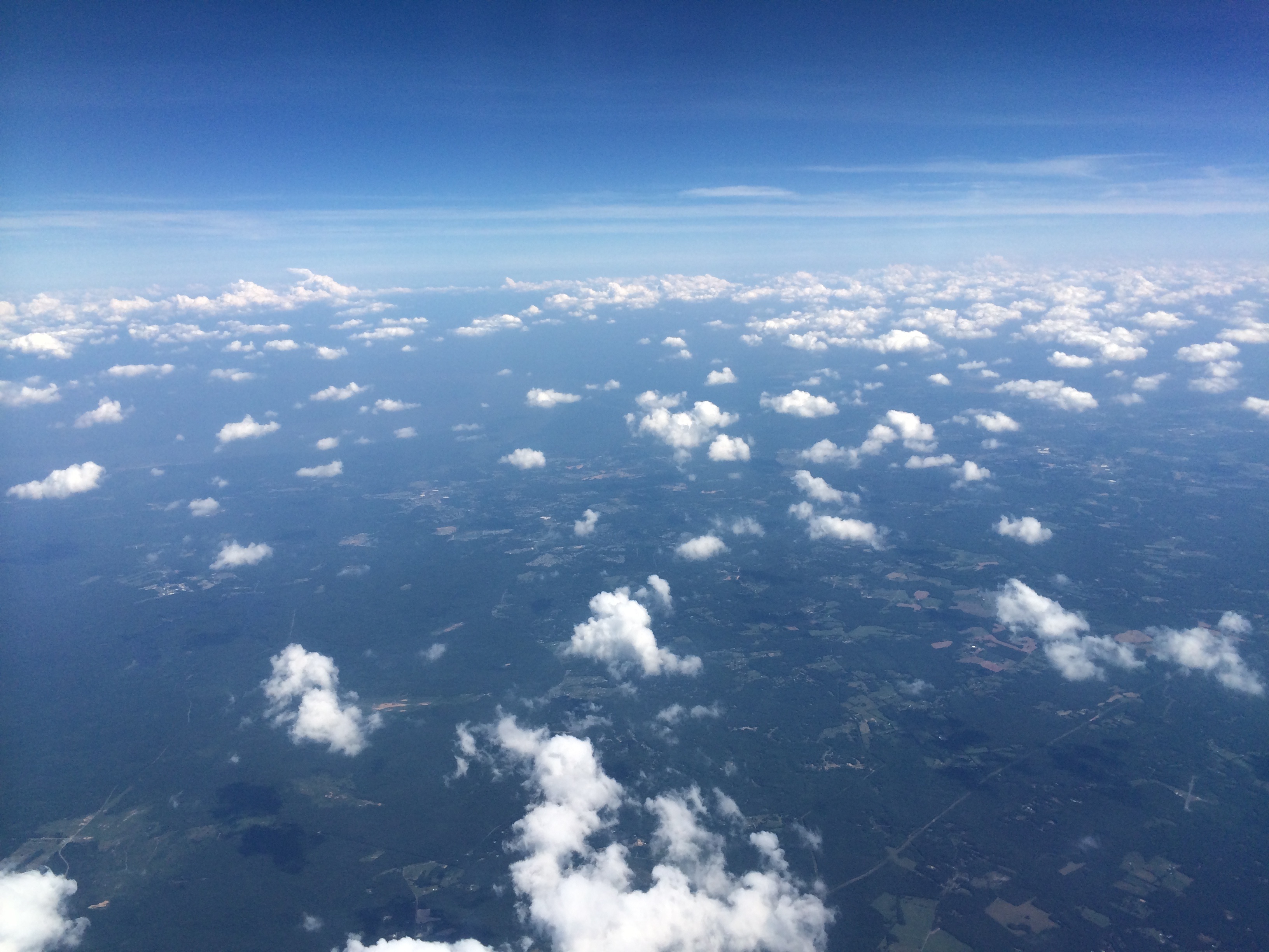
A wave is trying to break out at dawn.

Wave clouds all up close and personal.

Wave after wave, cloud after cloud, time after time. Up close, they take on weird shapes. Like we all do, really.
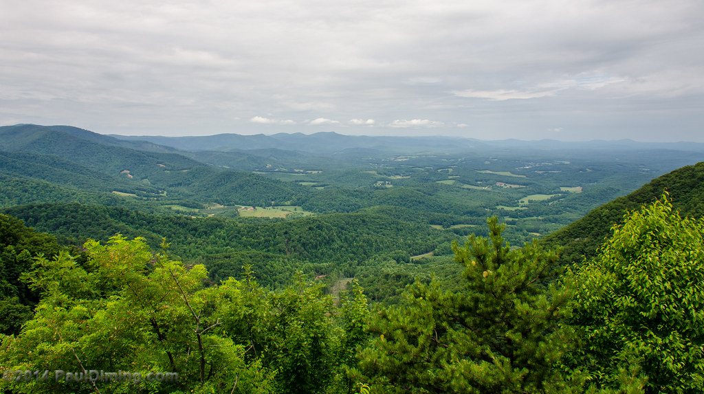
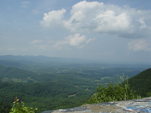
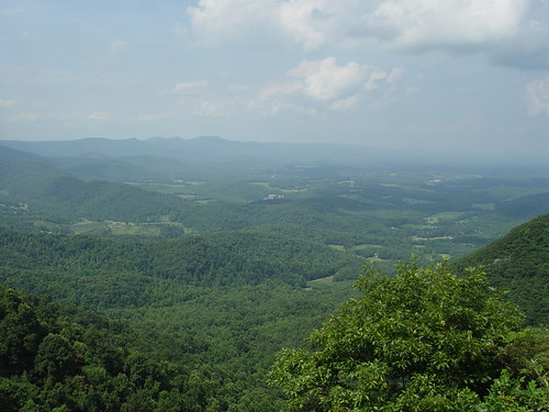
Lover's Leap Wayside II - Meadows of Dan, VA

One more trail to cut to the SE (left of image).
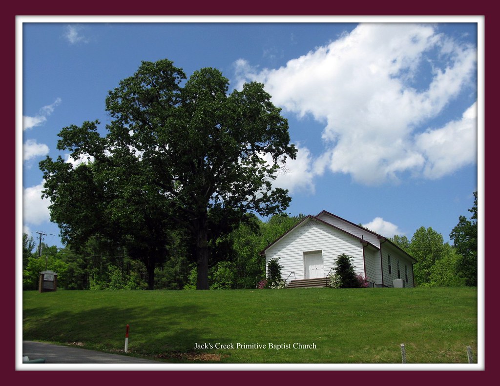
That Little Old Church
Topographic Map of Stuart, VA, USA
Find elevation by address:

Places in Stuart, VA, USA:
Elamsville Rd, Stuart, VA, USA
Commerce Drive
Turkey Ridge Lane
Chase Log Drive
Rye Cove Creek Road
Pole Bridge Road
Ashby Drive
Goblintown Road
Goblintown Road
Dobyns Road
Places near Stuart, VA, USA:
105 Hillcrest St
103 Mountain View Heights
Ashby Drive
1190 Dobyns Rd
353 Barnes Ln
Commerce Drive
Stuart, VA, USA
1648 Shingle Shop Rd
Carter Mountain
Fairview Pentecostal Holiness Church
Doctor Kay Lane
6032 Salem Hwy
265 Lottie Ln
1394 Poplar Dr
Dobyns Road
120 Robertson Dr
219 Wayside Rd
Rye Cove Creek Road
1986 Central Academy Rd
595 Woolwine Hwy
Recent Searches:
- Elevation of Corso Fratelli Cairoli, 35, Macerata MC, Italy
- Elevation of Tallevast Rd, Sarasota, FL, USA
- Elevation of 4th St E, Sonoma, CA, USA
- Elevation of Black Hollow Rd, Pennsdale, PA, USA
- Elevation of Oakland Ave, Williamsport, PA, USA
- Elevation of Pedrógão Grande, Portugal
- Elevation of Klee Dr, Martinsburg, WV, USA
- Elevation of Via Roma, Pieranica CR, Italy
- Elevation of Tavkvetili Mountain, Georgia
- Elevation of Hartfords Bluff Cir, Mt Pleasant, SC, USA