Elevation of Taylor View Dr, Patrick Springs, VA, USA
Location: United States > Virginia > Patrick County > Mayo River > Patrick Springs >
Longitude: -80.198225
Latitude: 36.6667913
Elevation: 431m / 1414feet
Barometric Pressure: 96KPa
Elevation Map:
Satellite Map:
Related Photos:
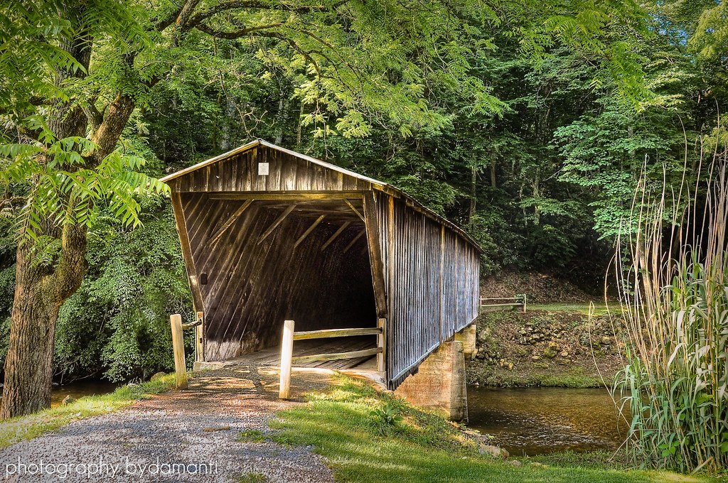
BOB WHITE BRIDGE
2013.10.25.04 Patrick

Inside view

2013.10.25.08 Patrick
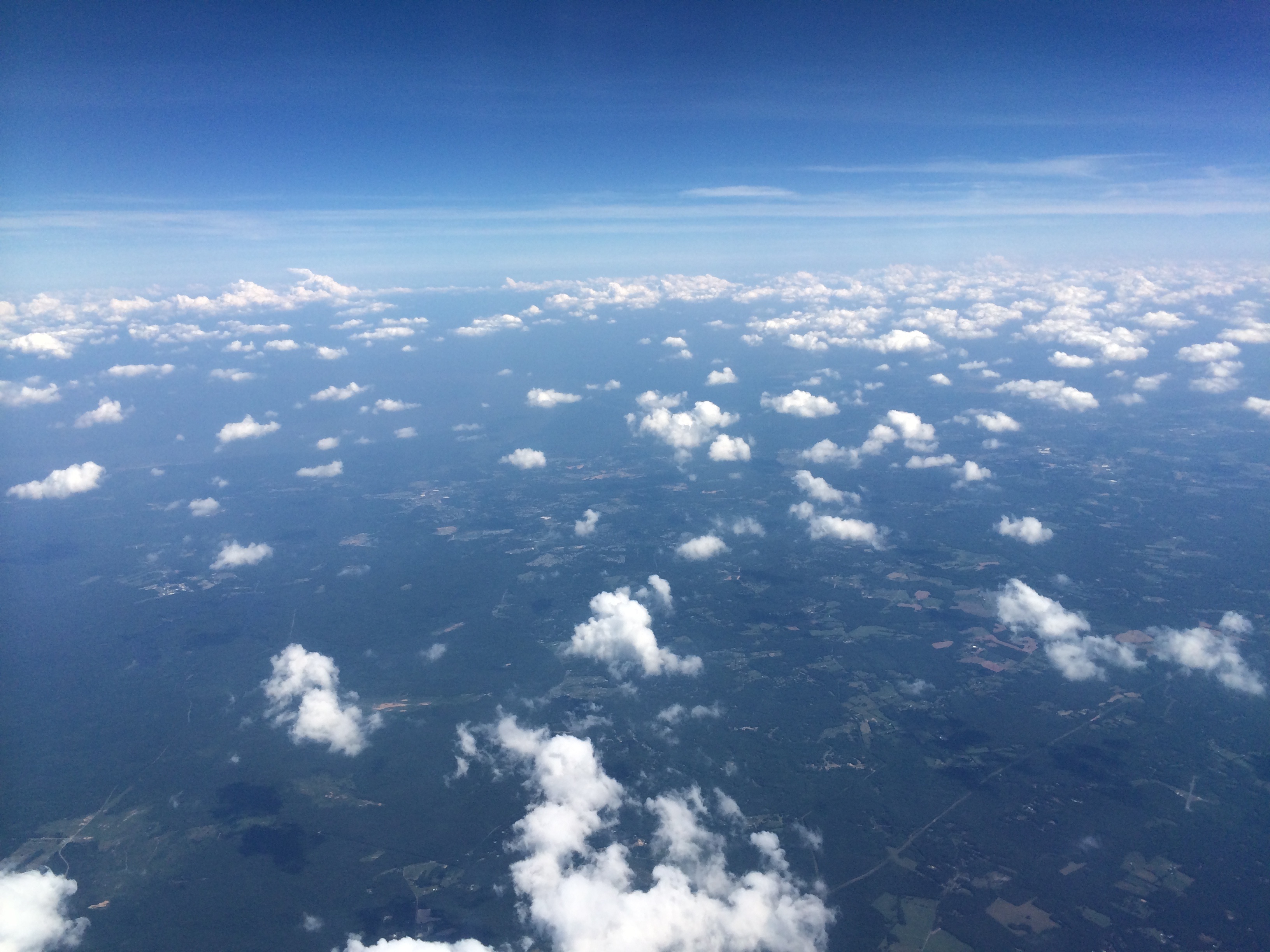
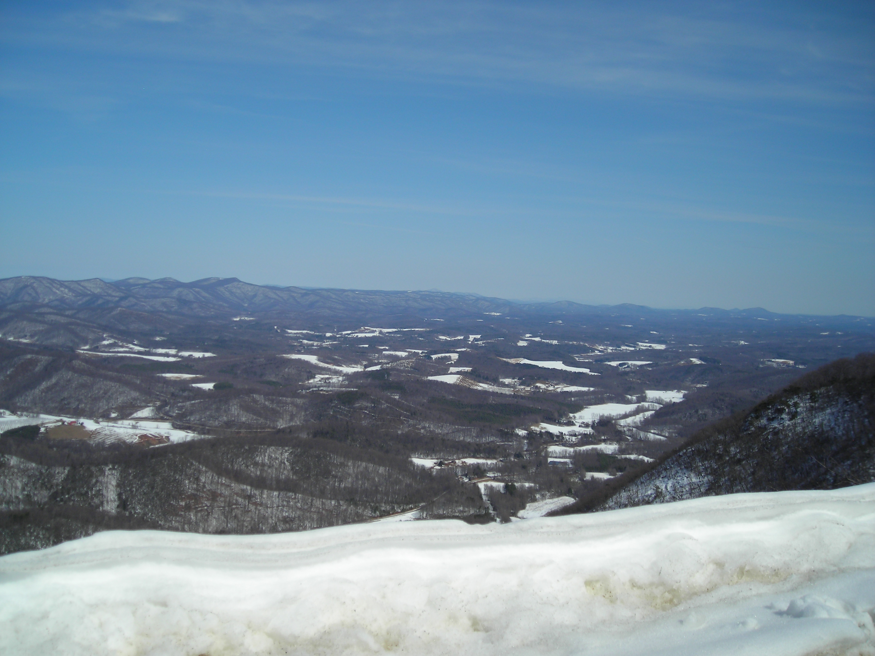
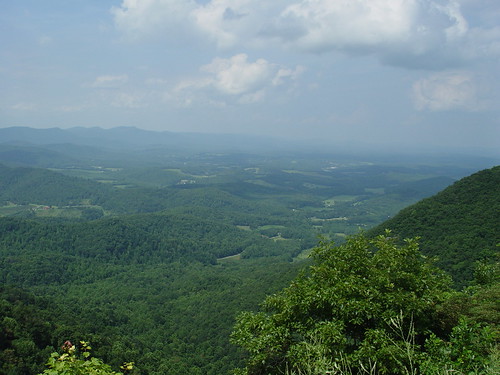
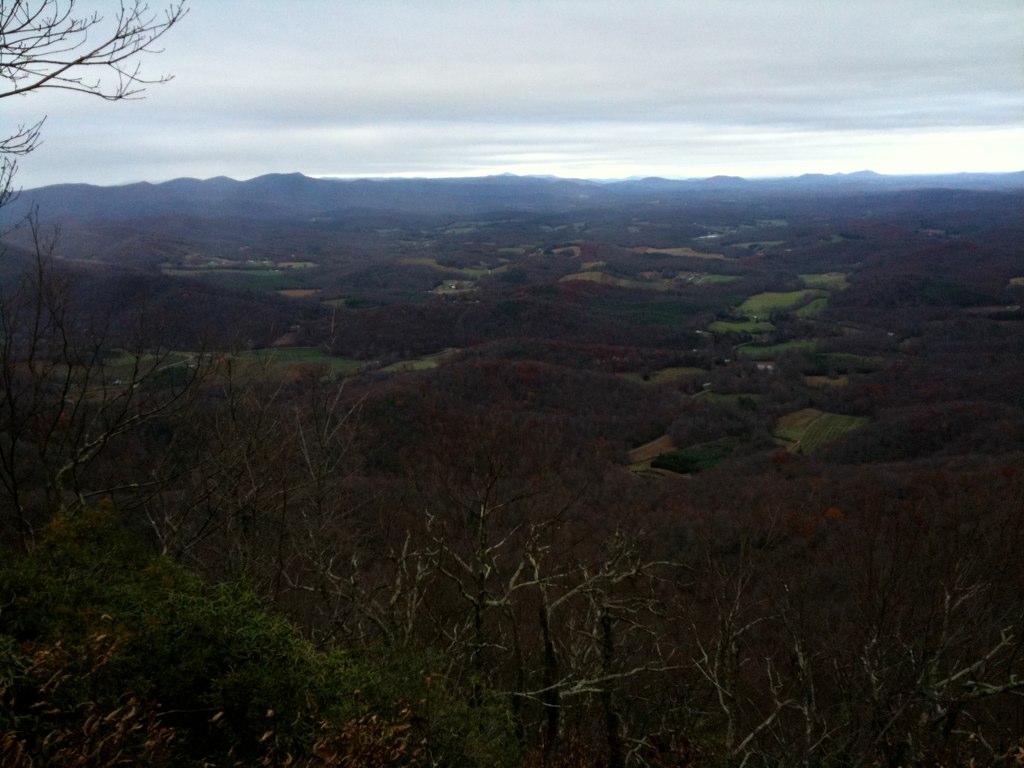
View from Above

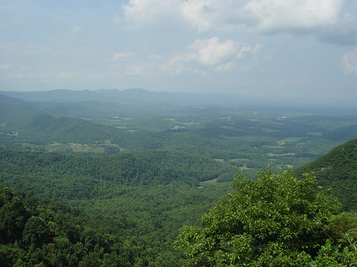
View from Fred never lets me down.
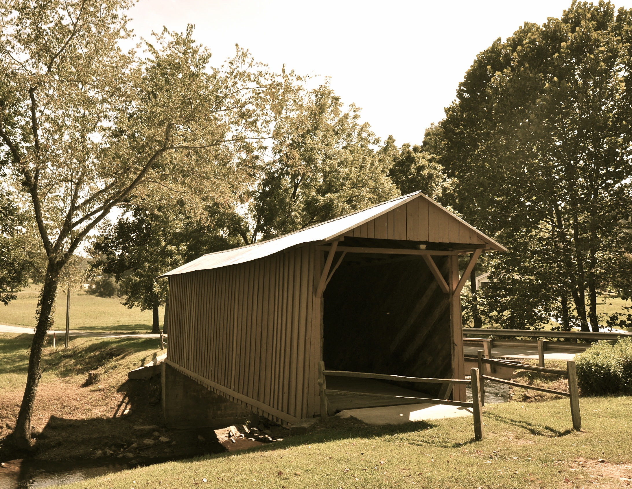
Jack's Creek Covered Bridge, Virginia (Second View)
2013.10.25.05 Patrick
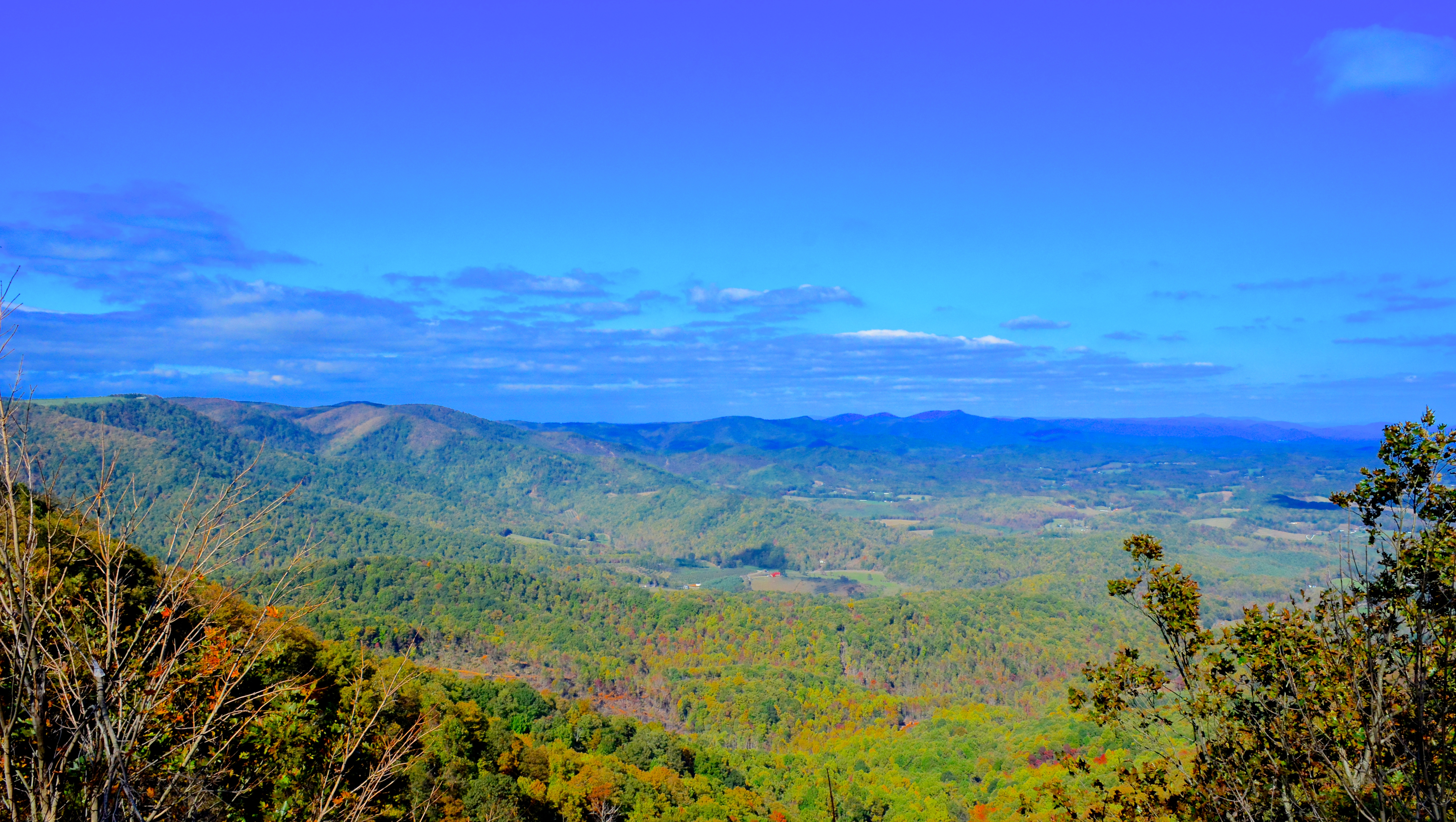
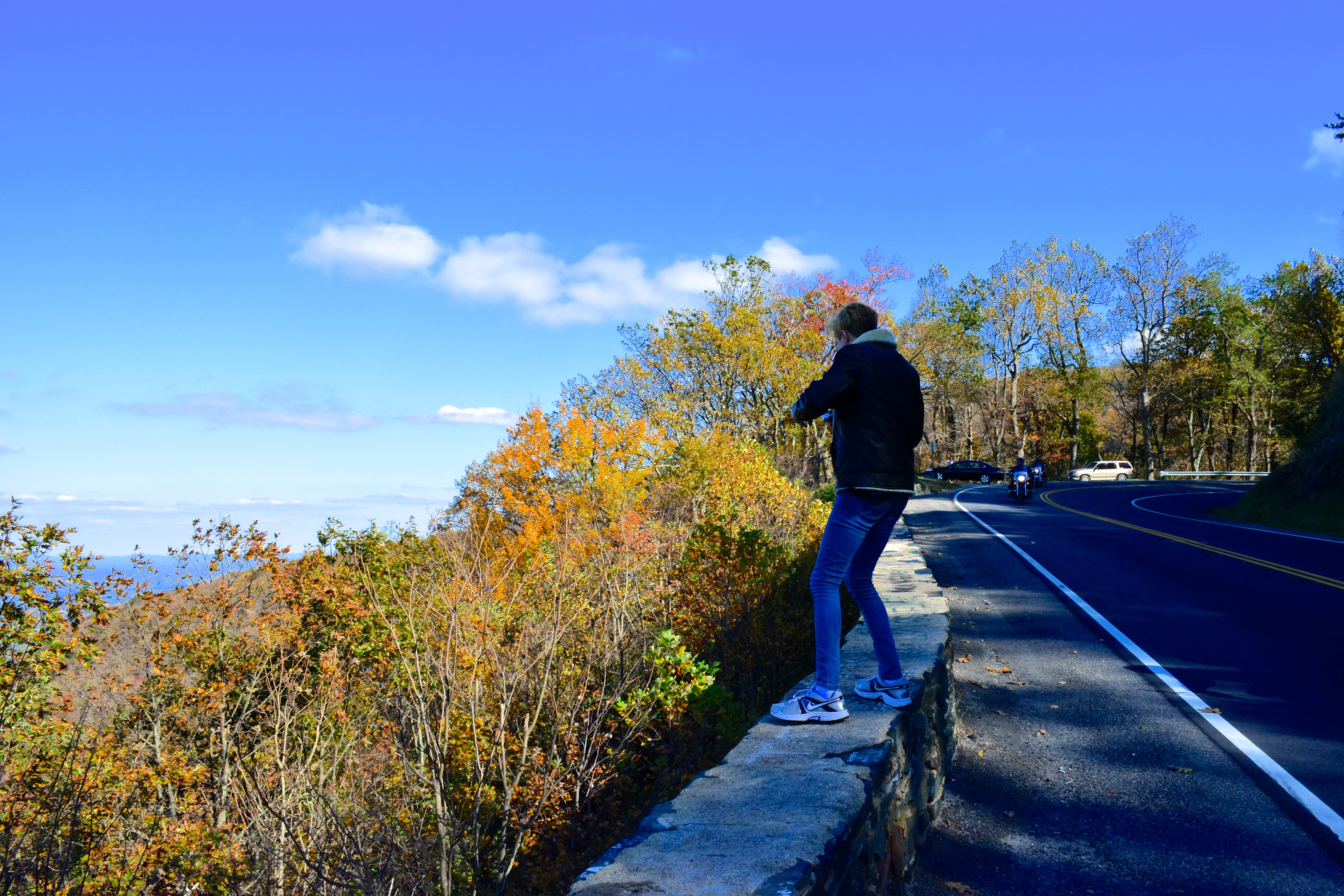
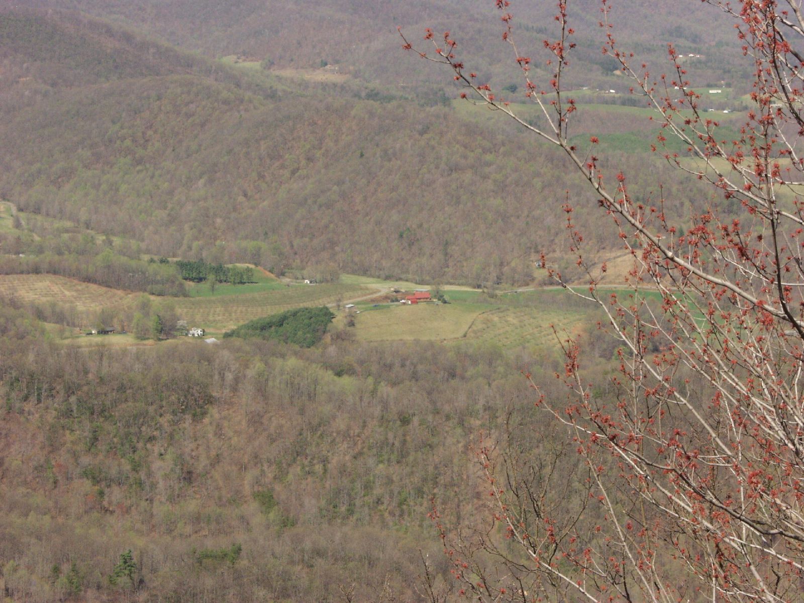
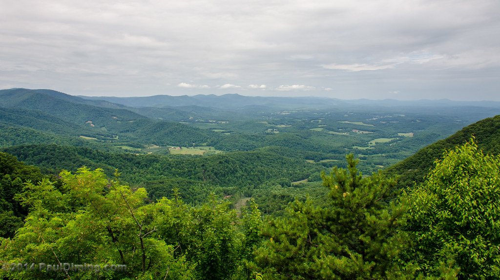
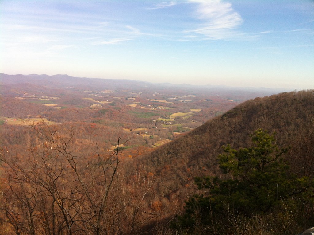
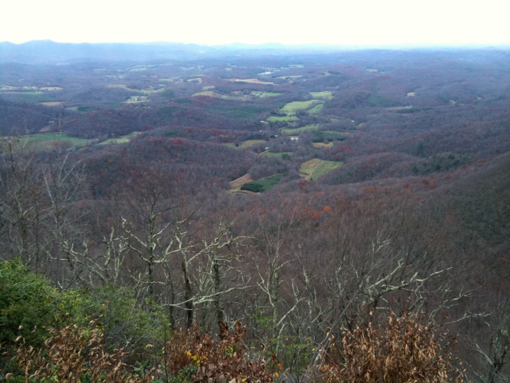
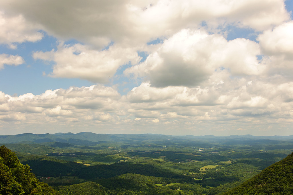
View from Lovers Leap
Lover's Leap
Lover Leap
Lover's Leap
Lovers Leap
Lovers Leap

VA 8 North approaching VA 103

LOVER LEAP
LOVERS LEAP

Tree's
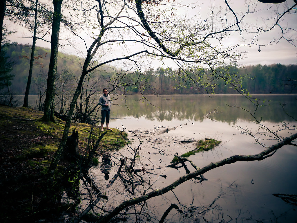
sly by the lake

Bob White Covered Bridge, Virginia

Tree's
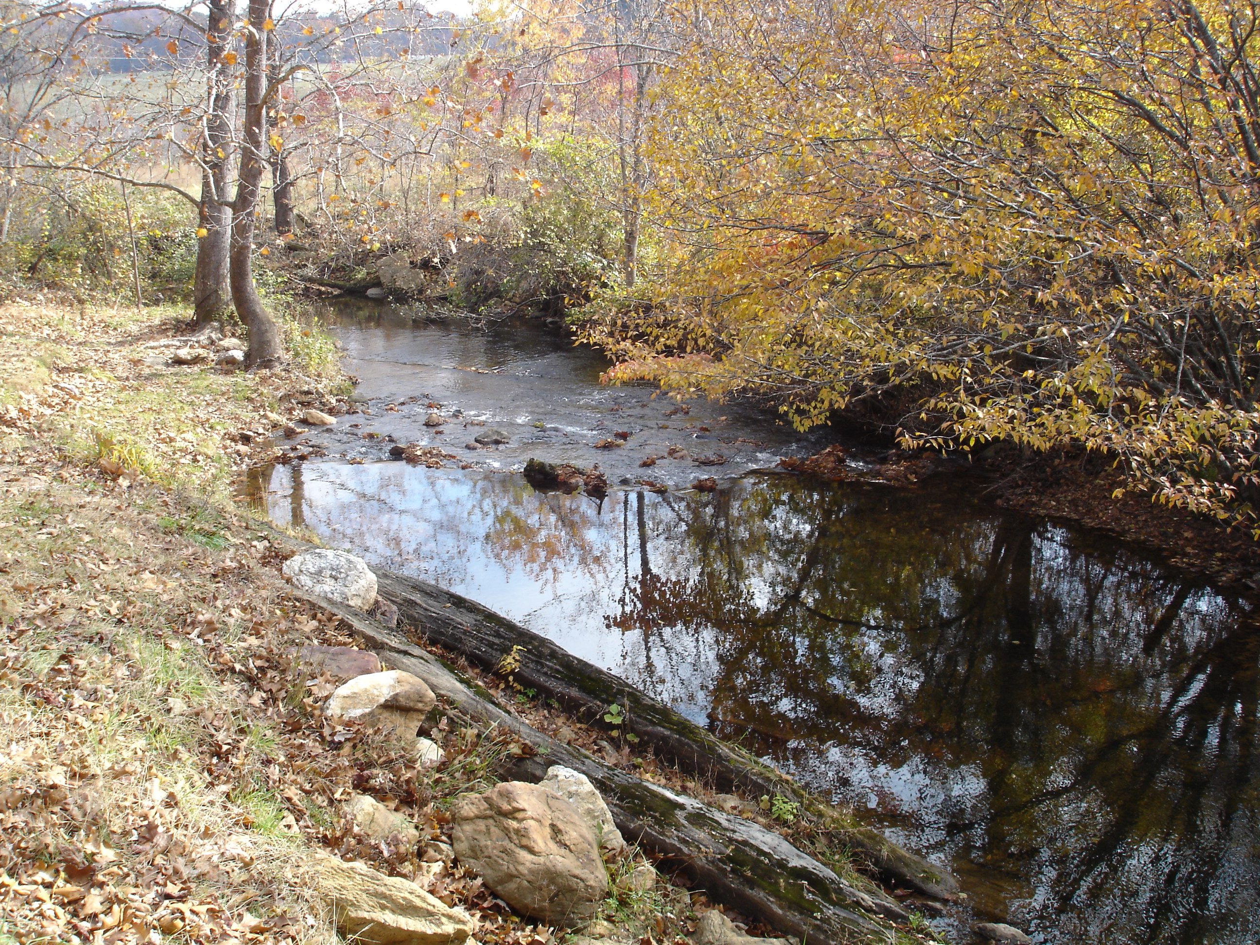
Jack's Creek

Moss ruleth. -Fred Cifton Park.

Lover's Leap #mountains #virginia #outdoors

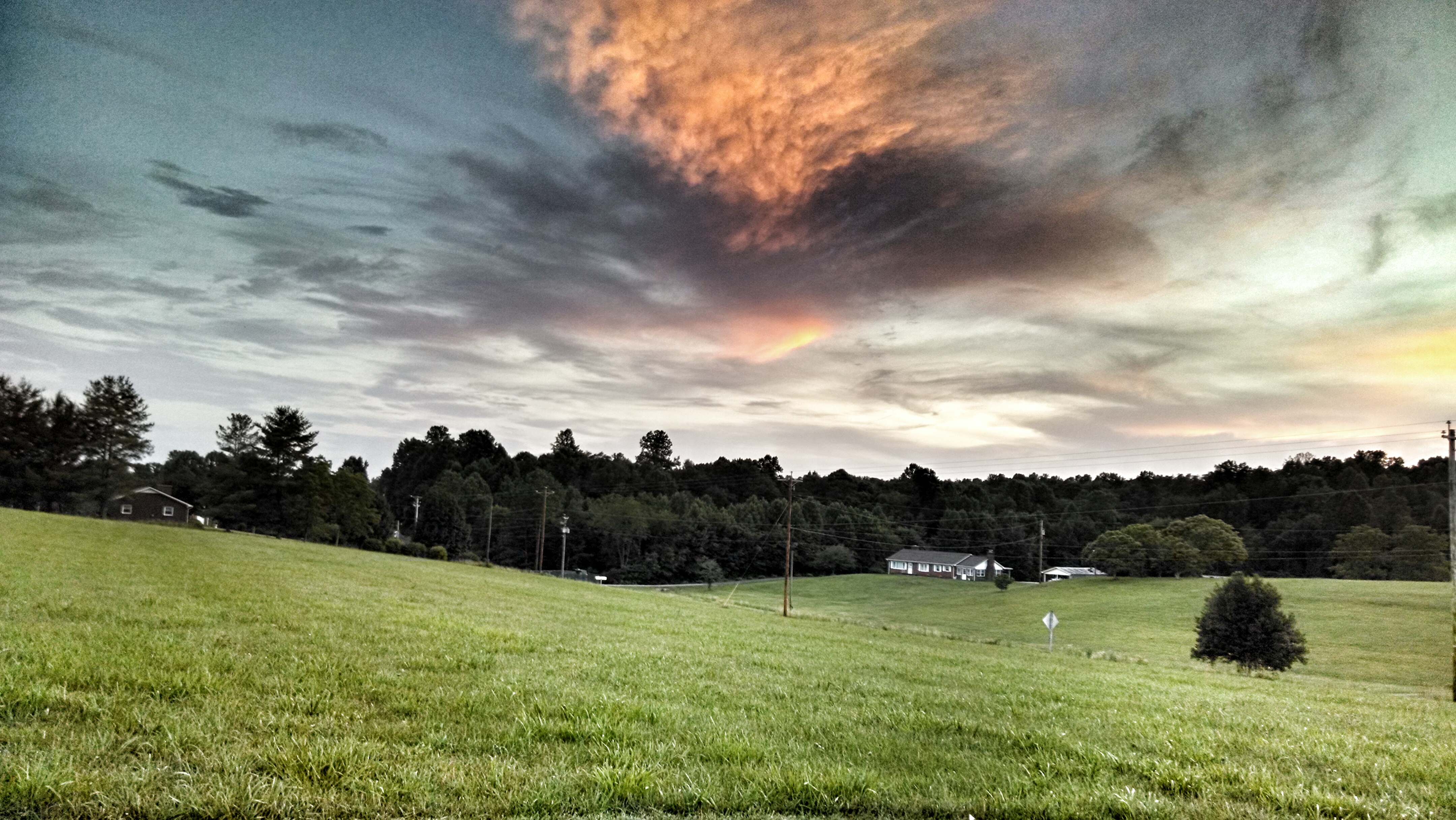
Storm Warning
Pretty evening
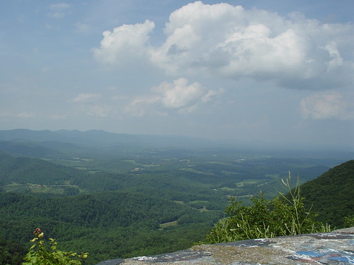
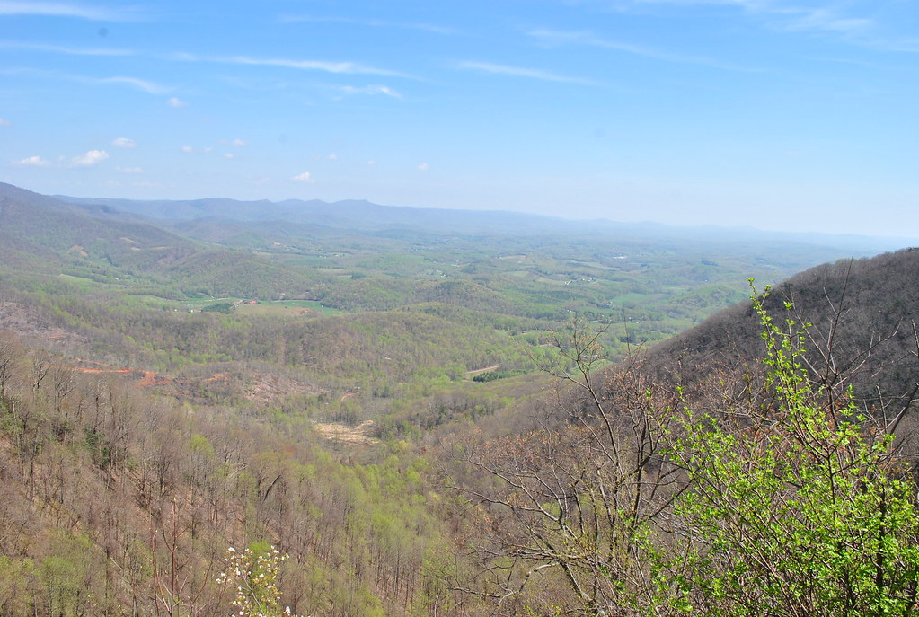
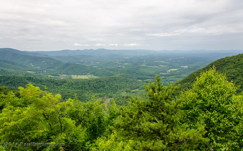
Lover's Leap Wayside II - Meadows of Dan, VA
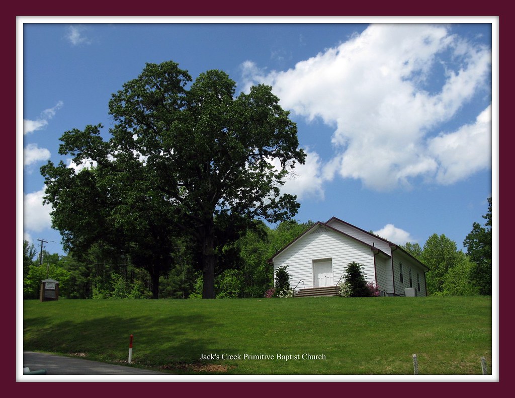
That Little Old Church
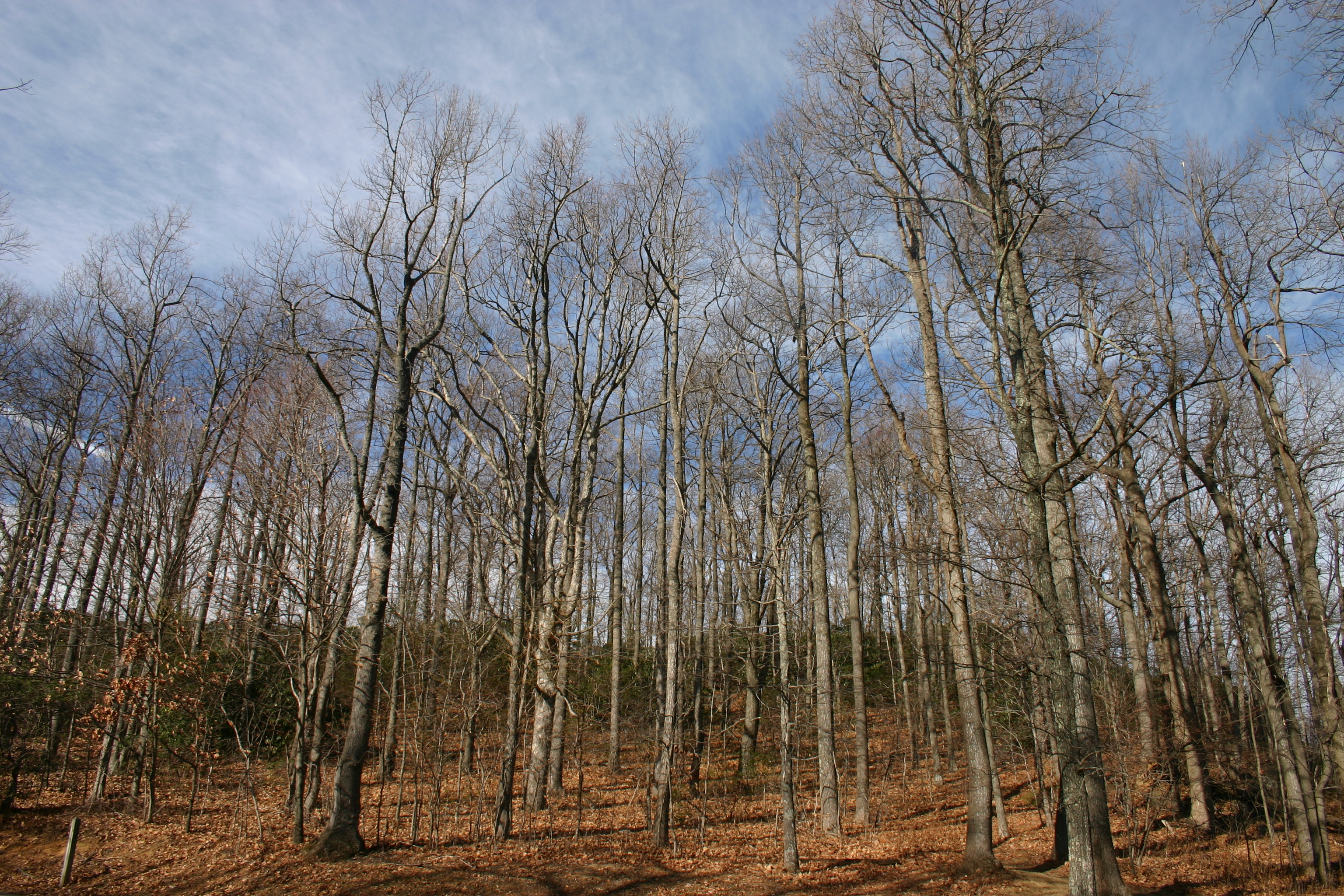
Bare Trees
2012-11-11 11.32.50.jpg
IMG_0098.JPG
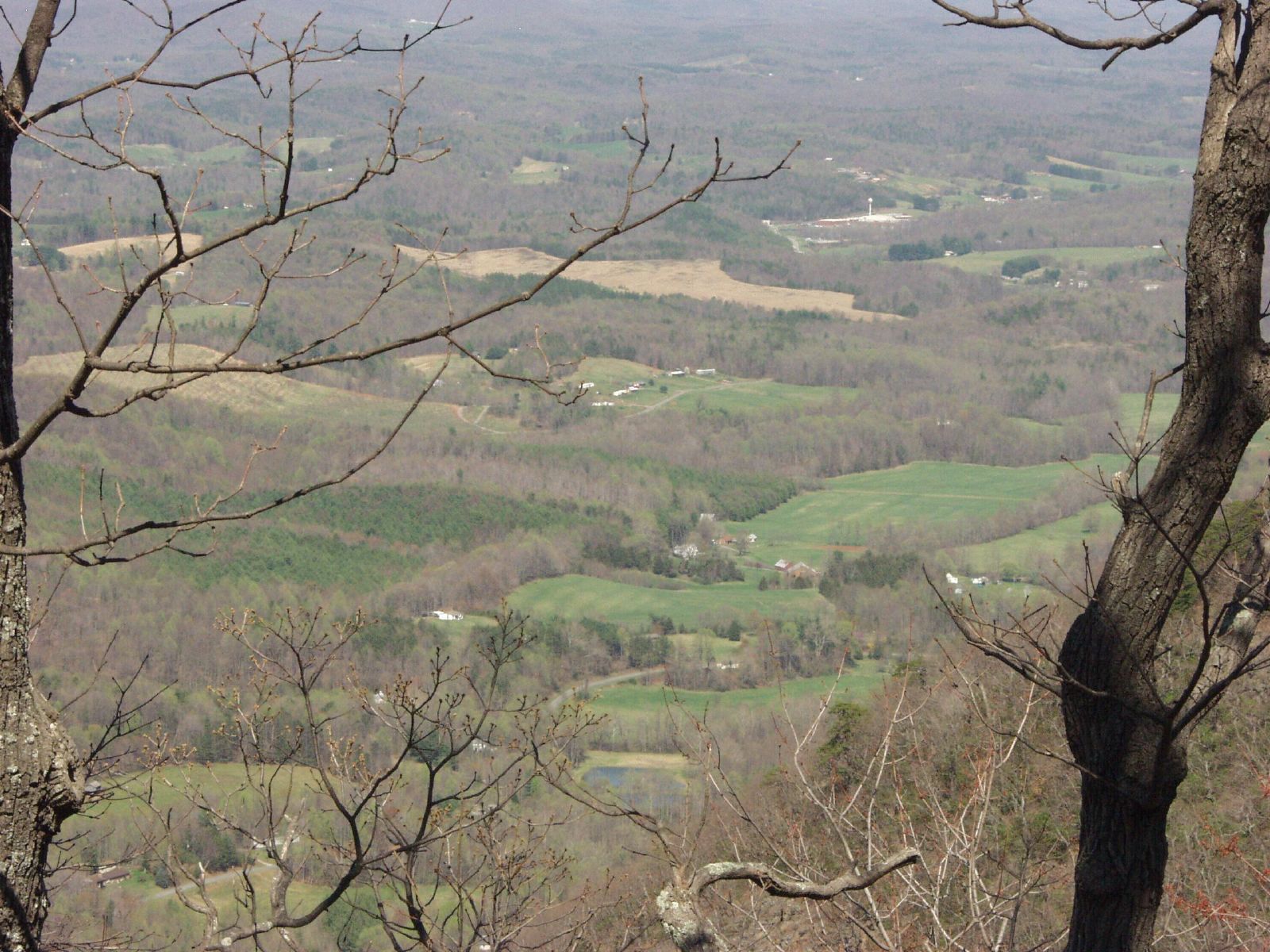
Where the Ground Meets the Sky (TNT - Two For One)
IMG_0094.JPG
Lover's Leap Wayside III - Meadows of Dan, VA
Topographic Map of Taylor View Dr, Patrick Springs, VA, USA
Find elevation by address:

Places near Taylor View Dr, Patrick Springs, VA, USA:
4046 Spring Rd
4046 Spring Rd
158 Stanburn Ln
Old Mill Road
Patrick Springs
933 Via Mountain Ln
Blueberry Hills Lane
6918 Jeb Stuart Hwy
6918 Jeb Stuart Hwy
Doctor Kay Lane
1394 Poplar Dr
Old Hall Ridge Road
Old Hall Ridge Road
Chase Log Drive
28 Lanes Dr
South Mayo Drive
Stuart, VA, USA
Commerce Drive
Foley Road
5387 Woolwine Hwy
Recent Searches:
- Elevation of Tenjo, Cundinamarca, Colombia
- Elevation of Côte-des-Neiges, Montreal, QC H4A 3J6, Canada
- Elevation of Bobcat Dr, Helena, MT, USA
- Elevation of Zu den Ihlowbergen, Althüttendorf, Germany
- Elevation of Badaber, Peshawar, Khyber Pakhtunkhwa, Pakistan
- Elevation of SE Heron Loop, Lincoln City, OR, USA
- Elevation of Slanický ostrov, 01 Námestovo, Slovakia
- Elevation of Spaceport America, Co Rd A, Truth or Consequences, NM, USA
- Elevation of Warwick, RI, USA
- Elevation of Fern Rd, Whitmore, CA, USA