Elevation of Blueberry Hills Lane, Blueberry Hills Ln, Patrick Springs, VA, USA
Location: United States > Virginia > Patrick County > Mayo River > Patrick Springs >
Longitude: -80.167912
Latitude: 36.668771
Elevation: 428m / 1404feet
Barometric Pressure: 96KPa
Elevation Map:
Satellite Map:
Related Photos:

Inside view
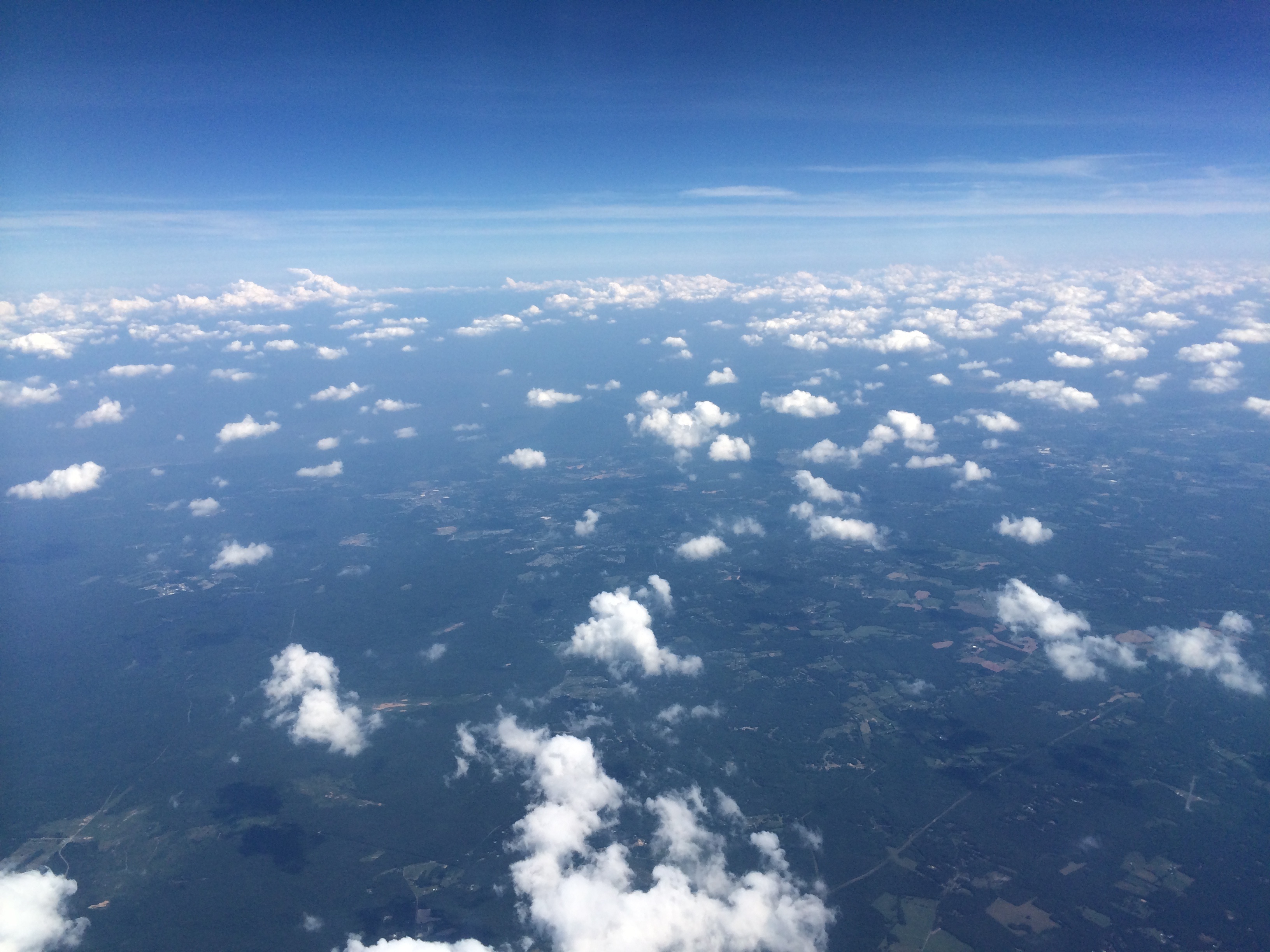
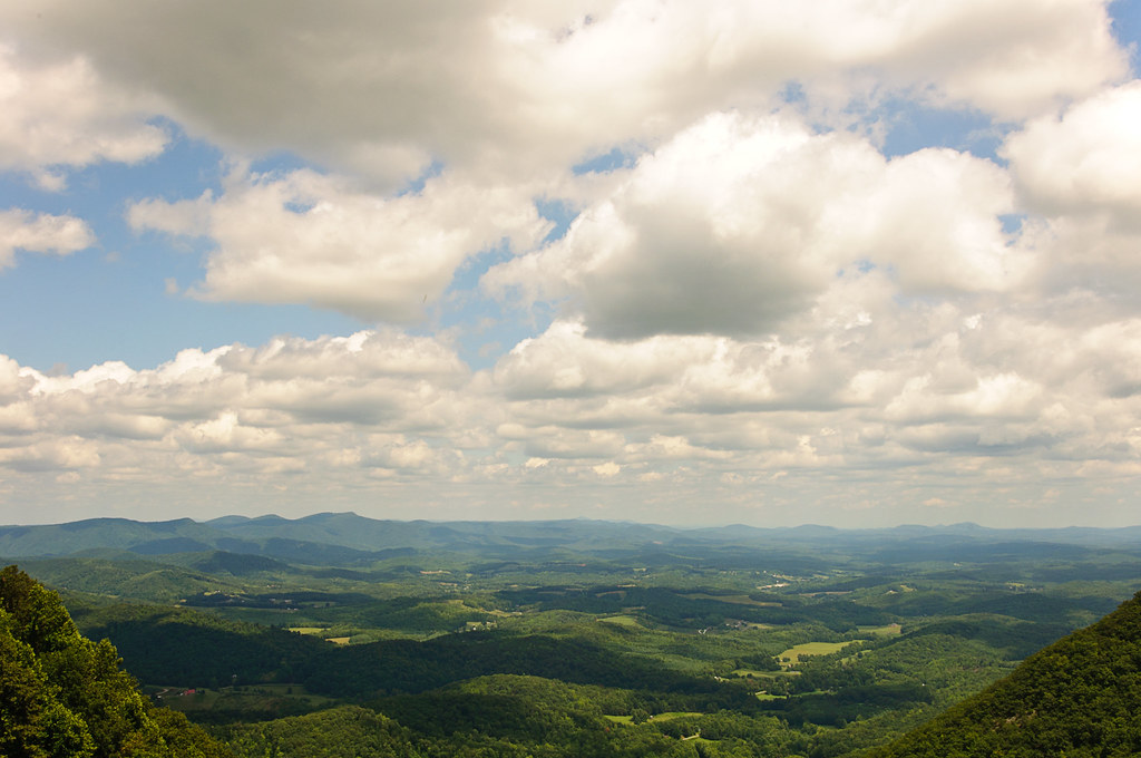
View from Above
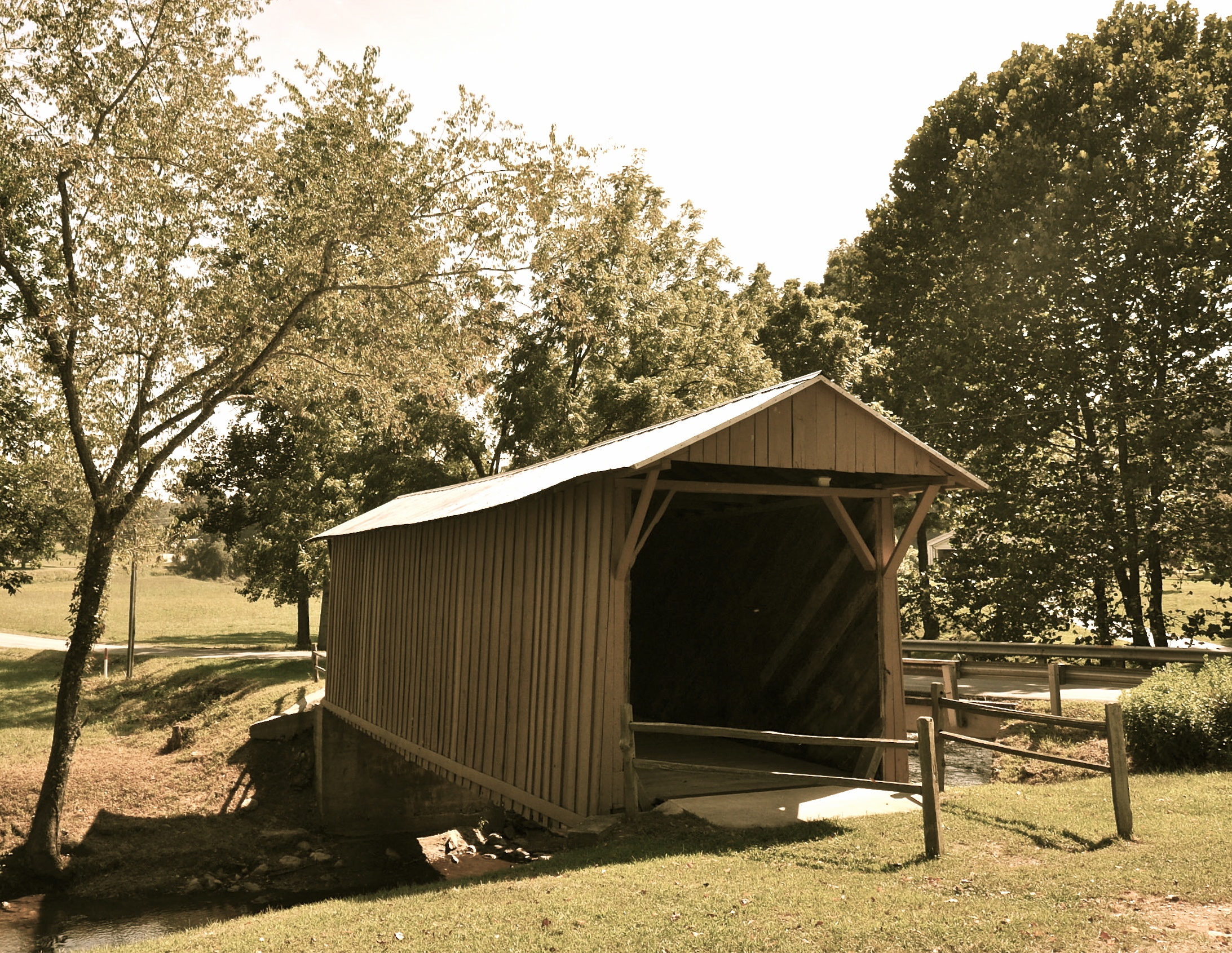
Jack's Creek Covered Bridge, Virginia (Second View)

View from Fred never lets me down.
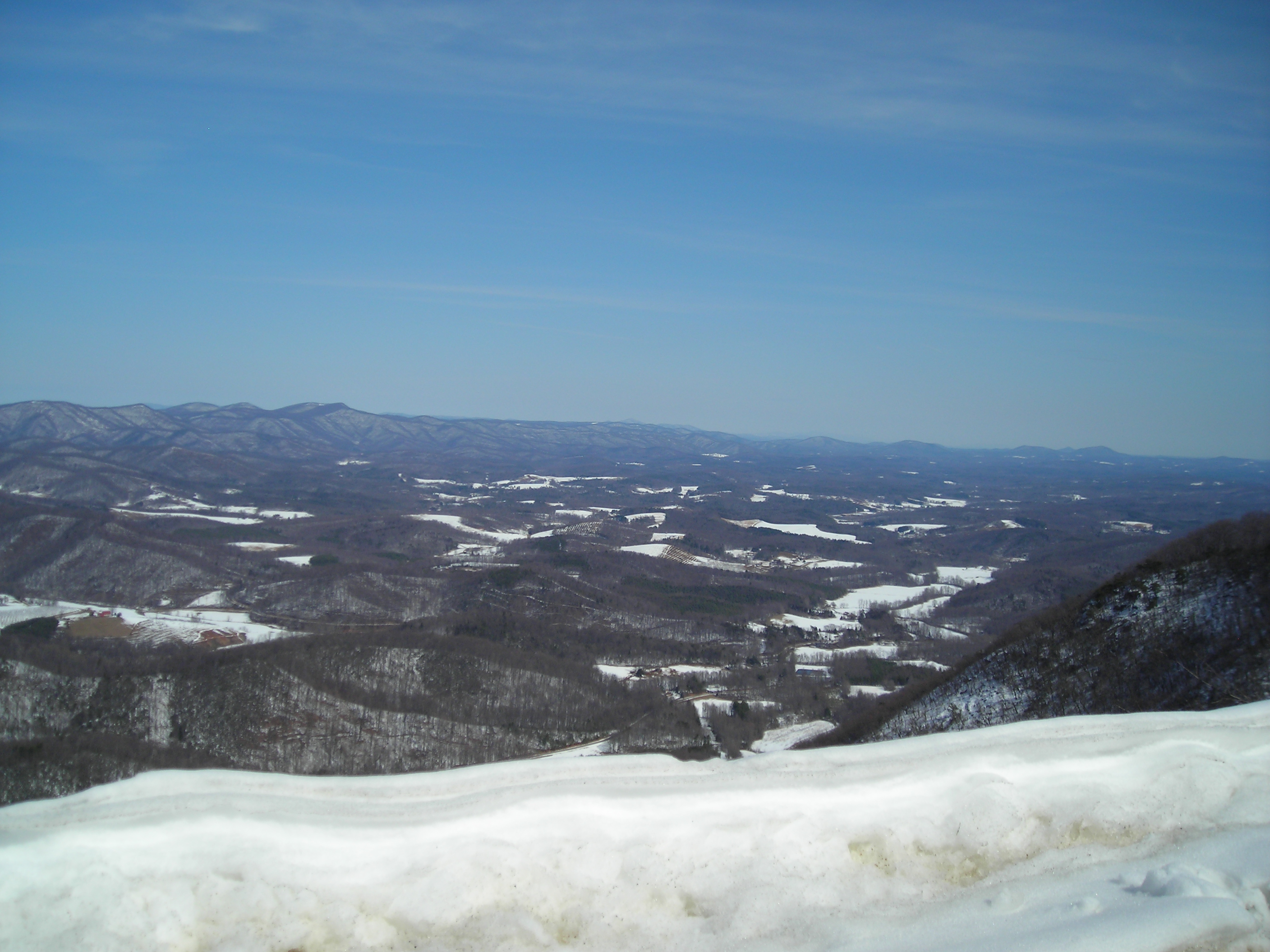
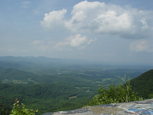
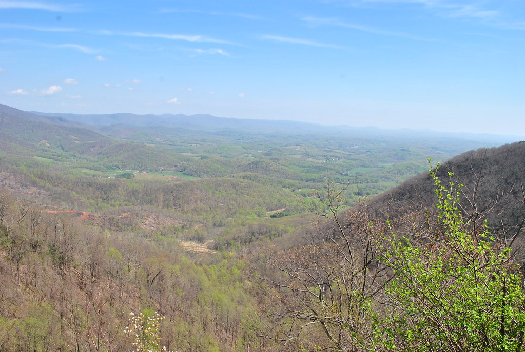
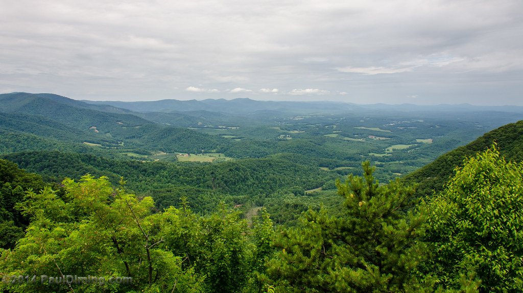
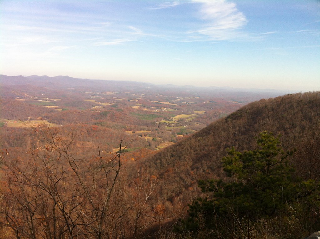
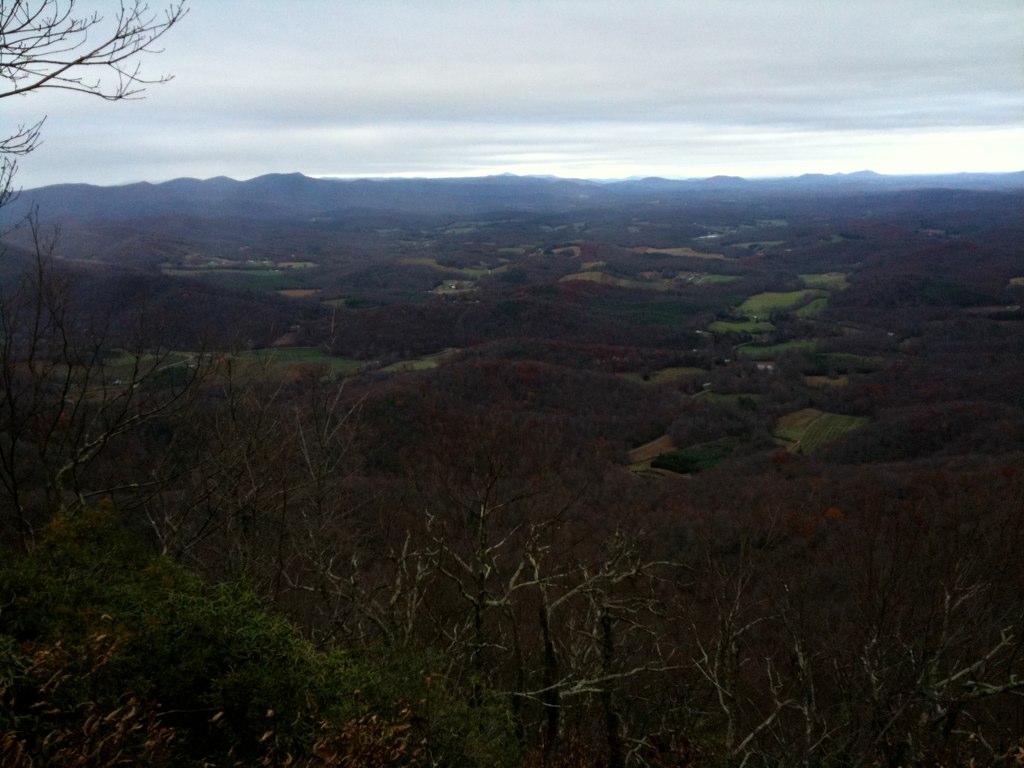
View from Lovers Leap
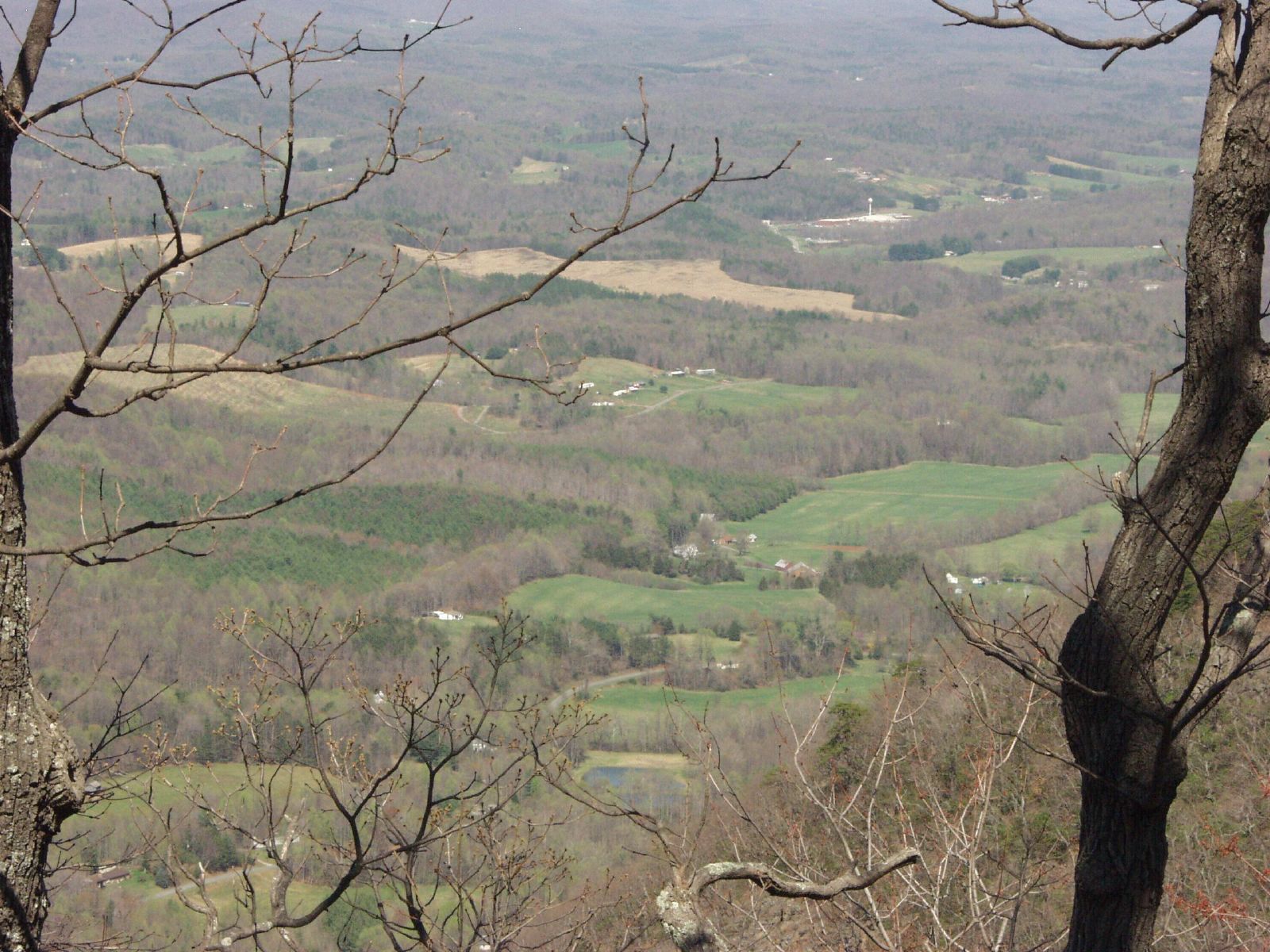
Lover's Leap

VA 8 North approaching VA 103
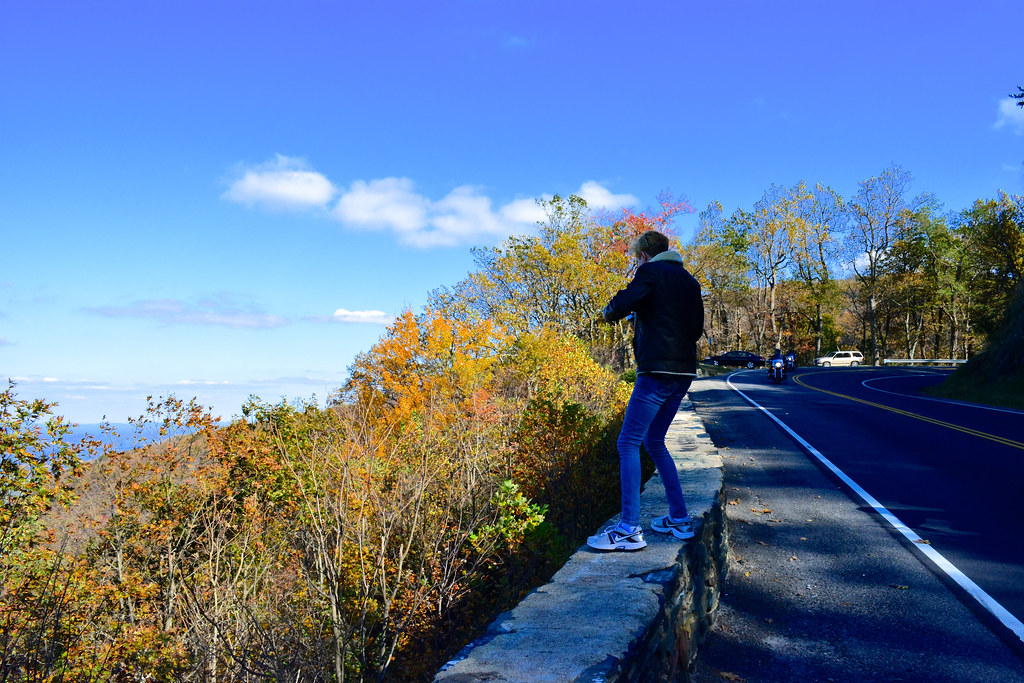
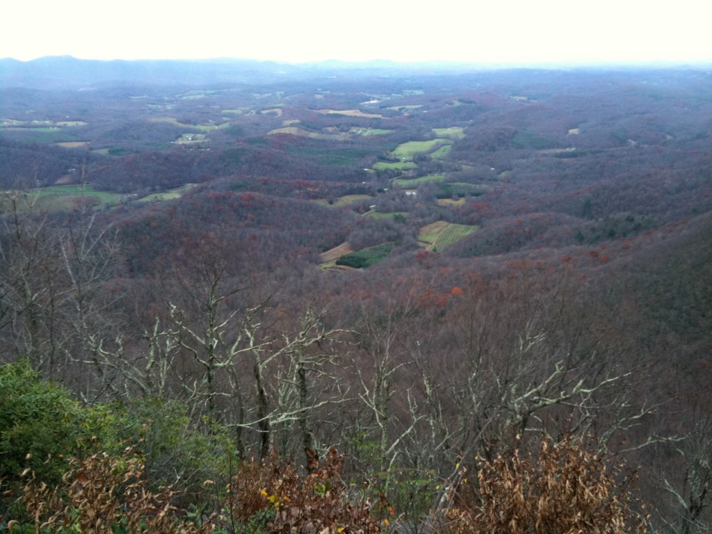
Lover Leap
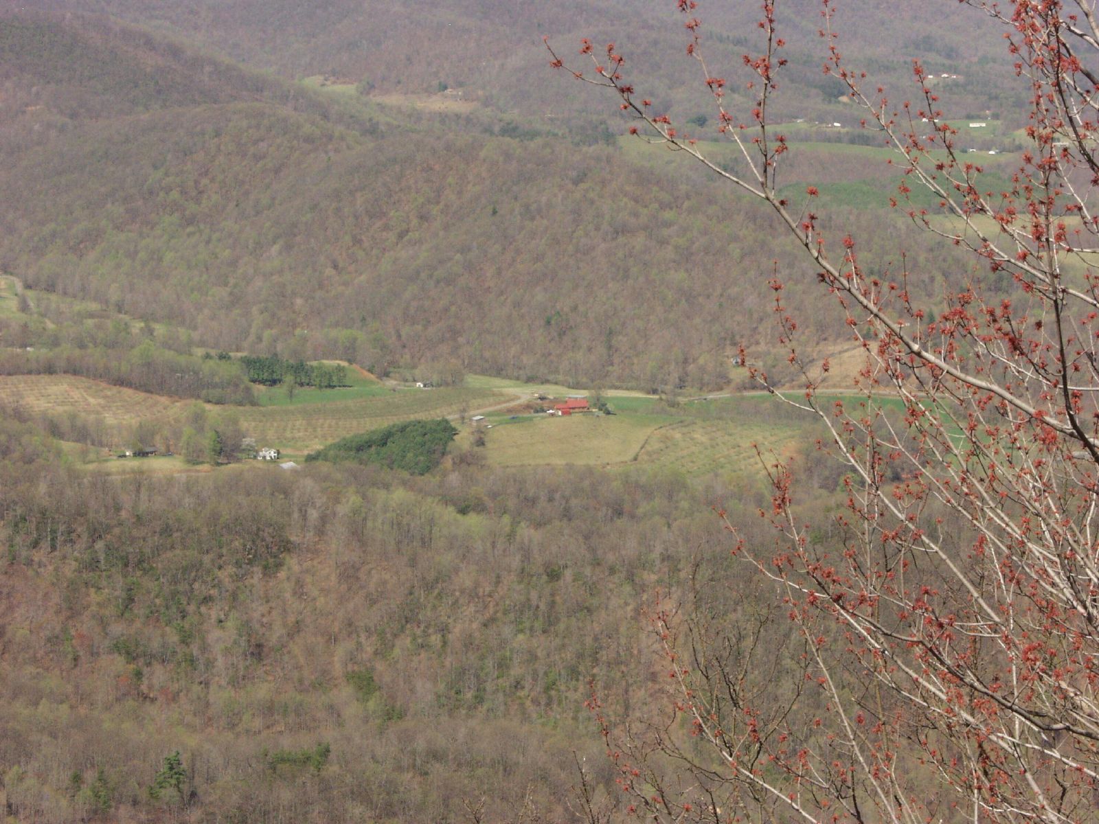
Lover's Leap
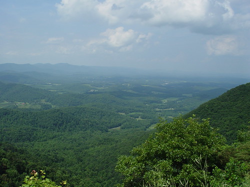
Lovers Leap
Lovers Leap

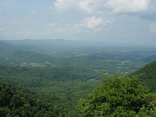
LOVER LEAP
LOVERS LEAP

Current view. #lambstock2016
2013.10.25.04 Patrick
2013.10.25.05 Patrick

2013.10.25.08 Patrick
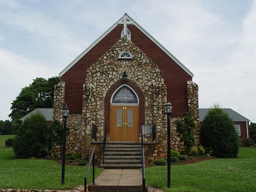
Buffalo Mountain Church
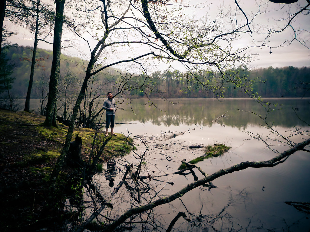
sly by the lake

on our morning stroll by the lake

Bob White Covered Bridge, Virginia
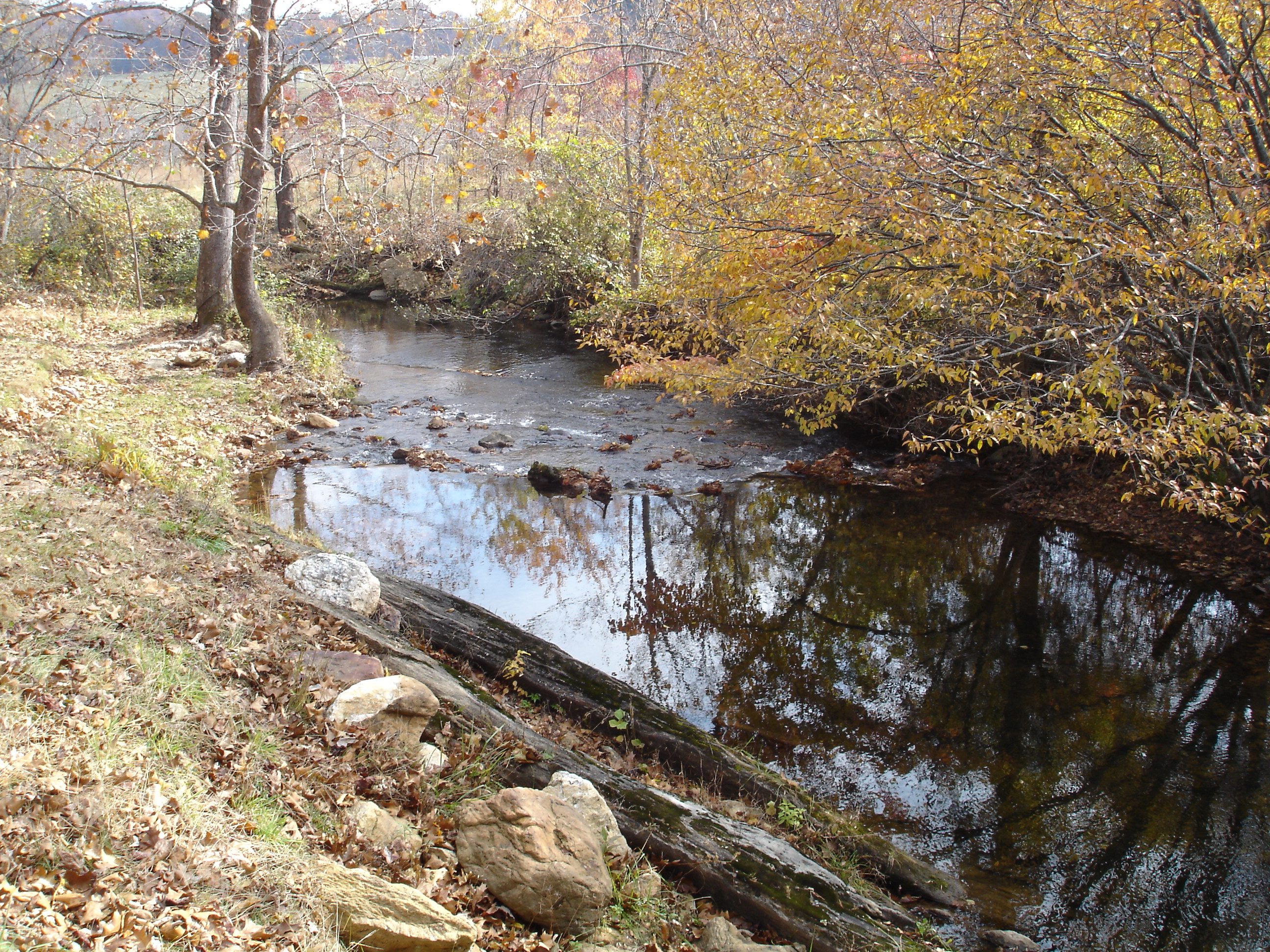
Jack's Creek
Pretty evening

Moss ruleth. -Fred Cifton Park.

Lover's Leap #mountains #virginia #outdoors
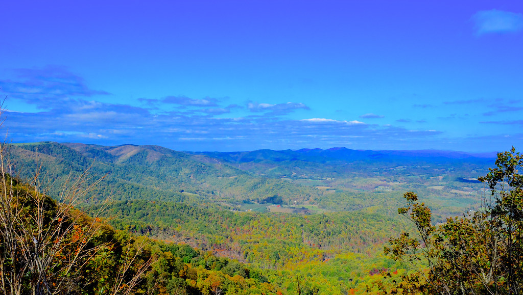
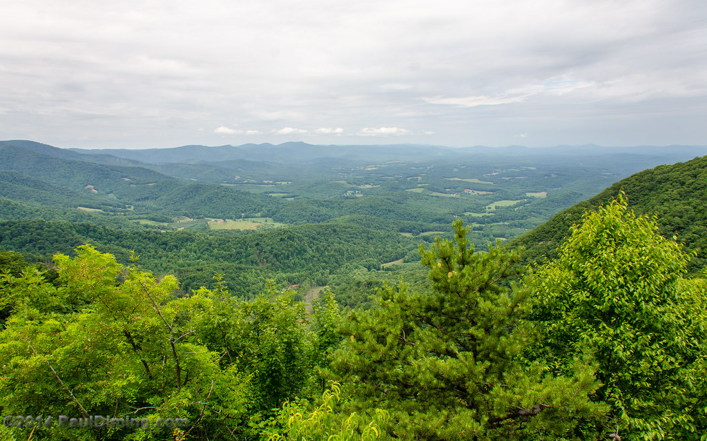
Lover's Leap Wayside II - Meadows of Dan, VA
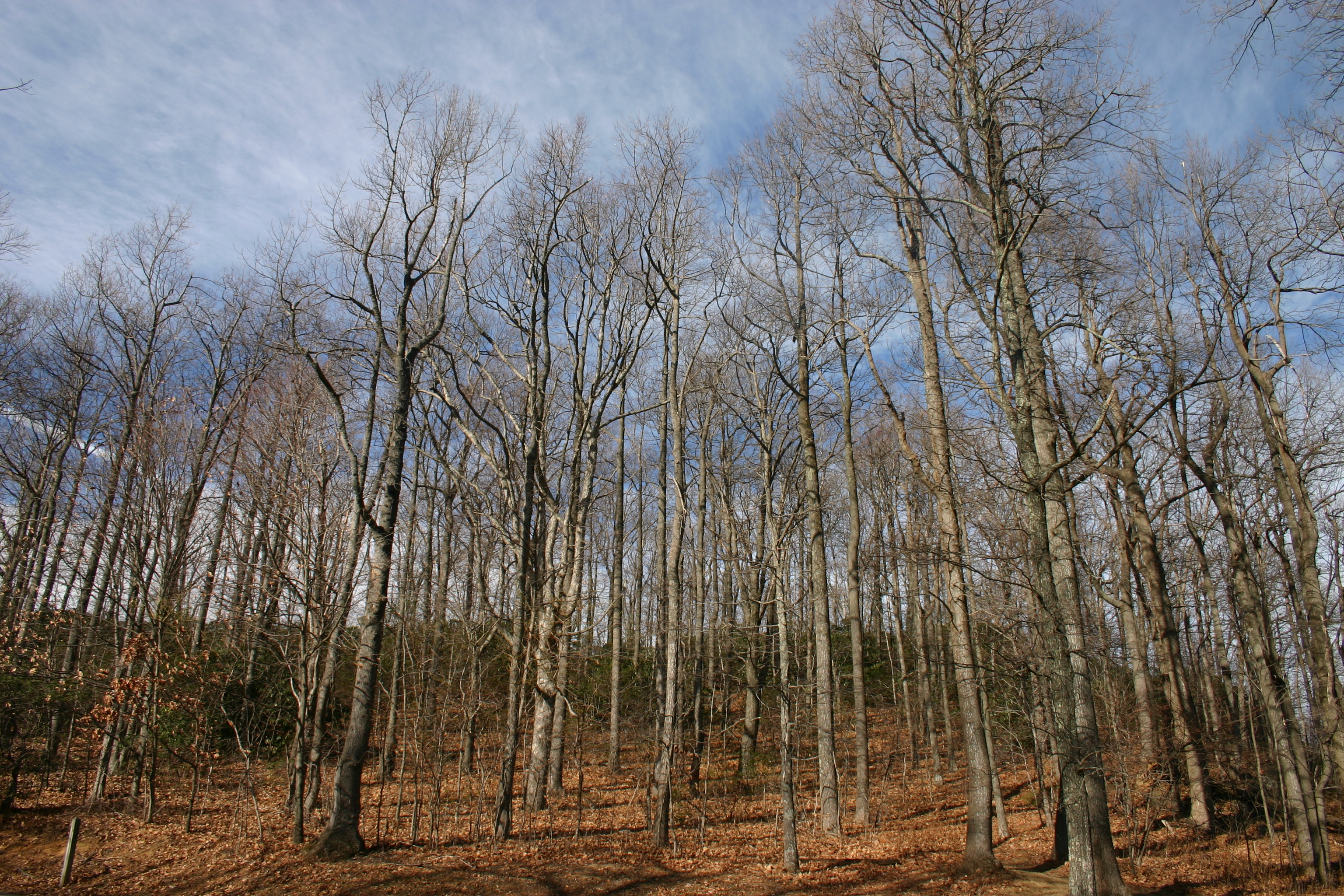
Bare Trees

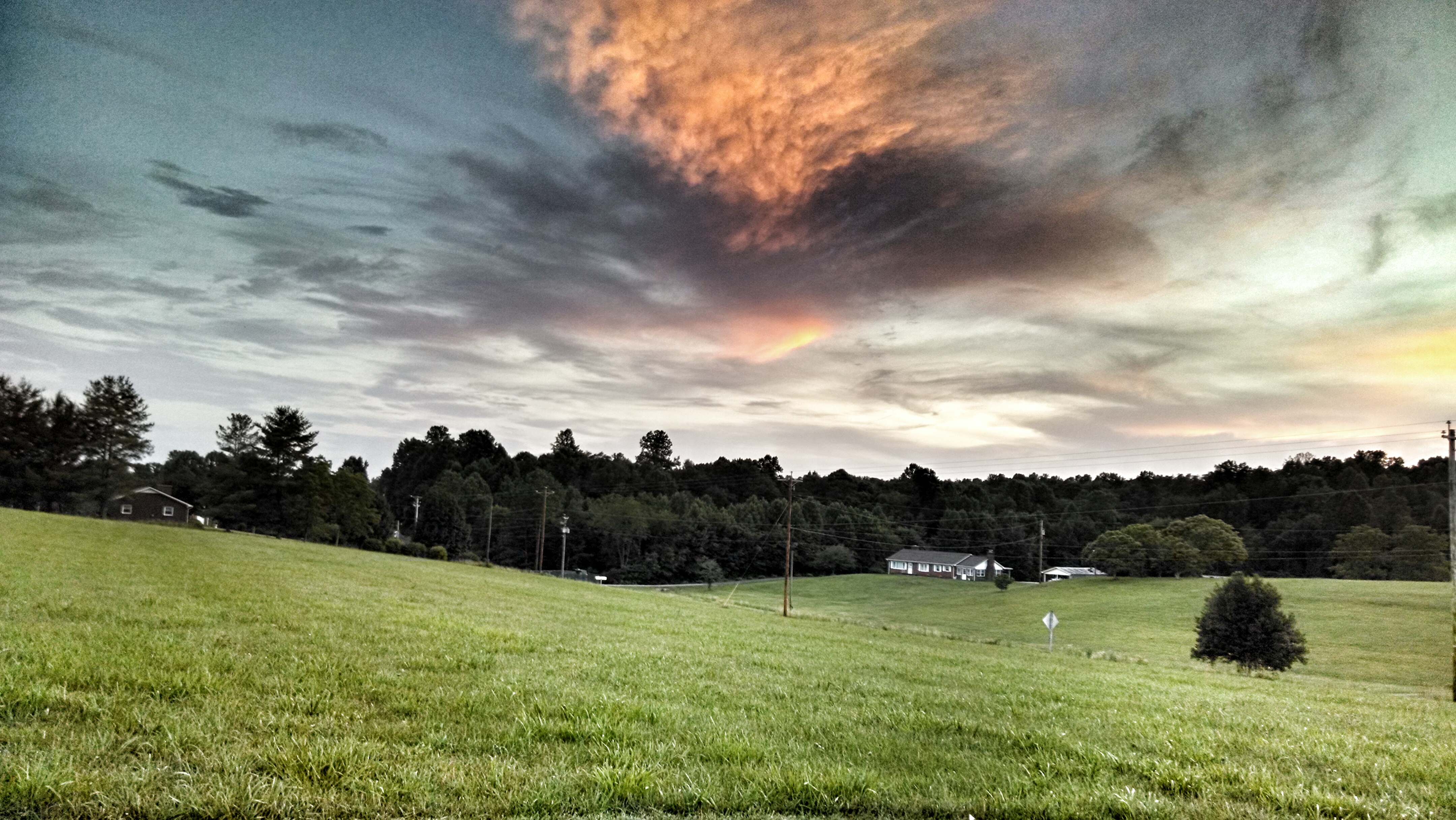
Storm Warning
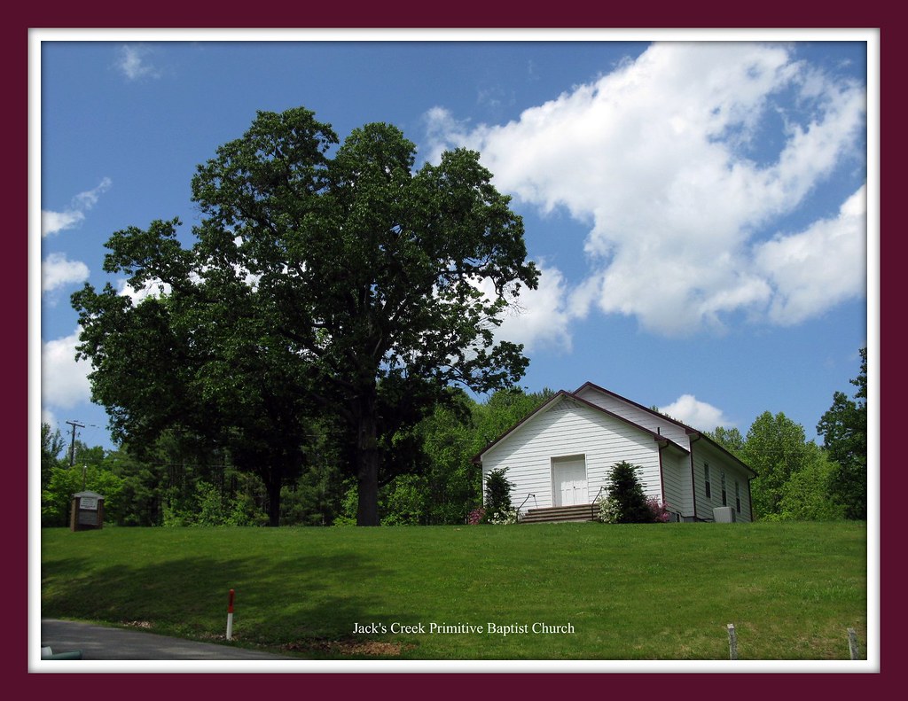
That Little Old Church
2012-11-11 11.32.50.jpg
IMG_0098.JPG
Where the Ground Meets the Sky (TNT - Two For One)
IMG_0094.JPG

Waterfall, Bowen's Creek
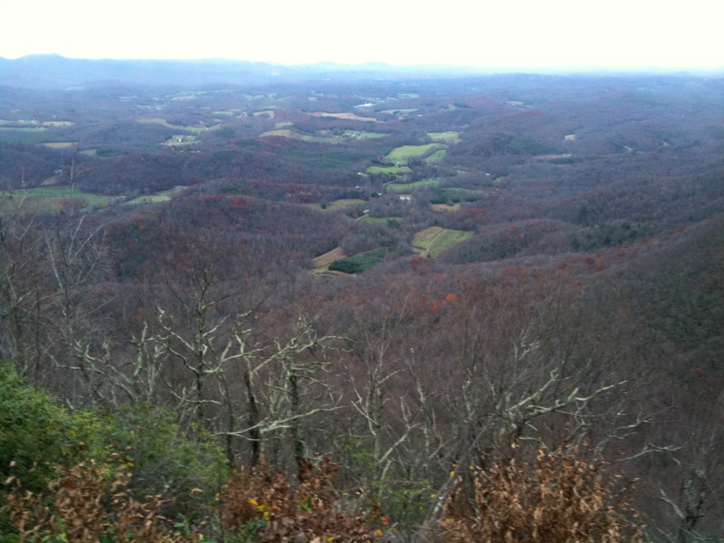
Lover's Leap Wayside III - Meadows of Dan, VA
IMG_0099.JPG
Topographic Map of Blueberry Hills Lane, Blueberry Hills Ln, Patrick Springs, VA, USA
Find elevation by address:

Places near Blueberry Hills Lane, Blueberry Hills Ln, Patrick Springs, VA, USA:
158 Stanburn Ln
4046 Spring Rd
4046 Spring Rd
933 Via Mountain Ln
661 Taylor View Dr
Old Mill Road
Patrick Springs
6918 Jeb Stuart Hwy
6918 Jeb Stuart Hwy
Foley Road
28 Lanes Dr
Chase Log Drive
Old Hall Ridge Road
Old Hall Ridge Road
Pole Bridge Road
507 Foley Ridge Rd
South Mayo Drive
Doctor Kay Lane
1394 Poplar Dr
429 Still Meadow Ln
Recent Searches:
- Elevation of 24 Oakland Rd #, Scotland, ON N0E 1R0, Canada
- Elevation of Deep Gap Farm Rd E, Mill Spring, NC, USA
- Elevation of Dog Leg Dr, Minden, NV, USA
- Elevation of Dog Leg Dr, Minden, NV, USA
- Elevation of Kambingan Sa Pansol Atbp., Purok 7 Pansol, Candaba, Pampanga, Philippines
- Elevation of Pinewood Dr, New Bern, NC, USA
- Elevation of Mountain View, CA, USA
- Elevation of Foligno, Province of Perugia, Italy
- Elevation of Blauwestad, Netherlands
- Elevation of Bella Terra Blvd, Estero, FL, USA