Elevation of Pendleton Rd, Pendleton, KY, USA
Location: United States > Kentucky > Henry County > Pendleton >
Longitude: -85.302993
Latitude: 38.461271
Elevation: 266m / 873feet
Barometric Pressure: 98KPa
Elevation Map:
Satellite Map:
Related Photos:

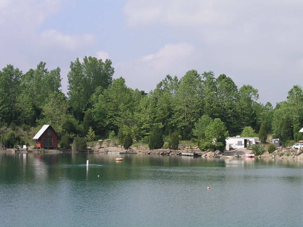
Morning View

Oldham County Fair from the Ferris Wheel - 10/365

Just A Street that has BIG THINGS that go down the street

Front View

6/23 ~ View #fmsphotoaday

CSXT Q272, Campbellsburg, KY
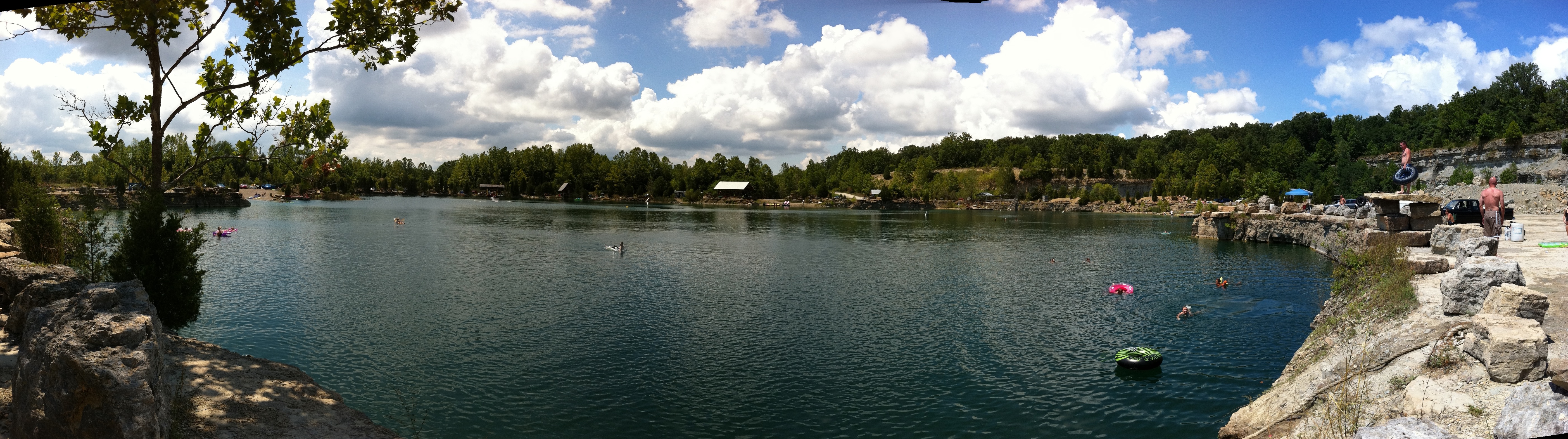
Falling Rock Quarry panoramic

20050604-145020

20050604-170150
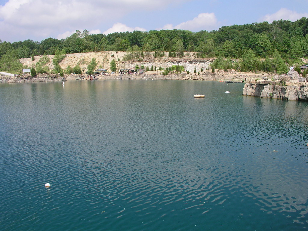
20050604-093908
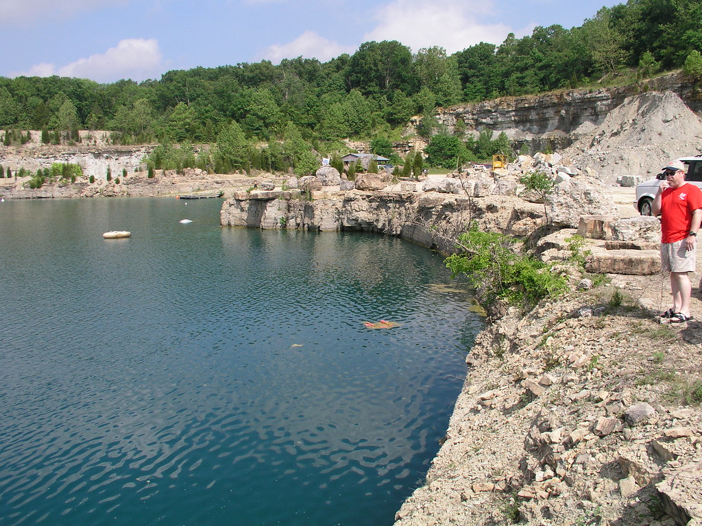
20050604-093914
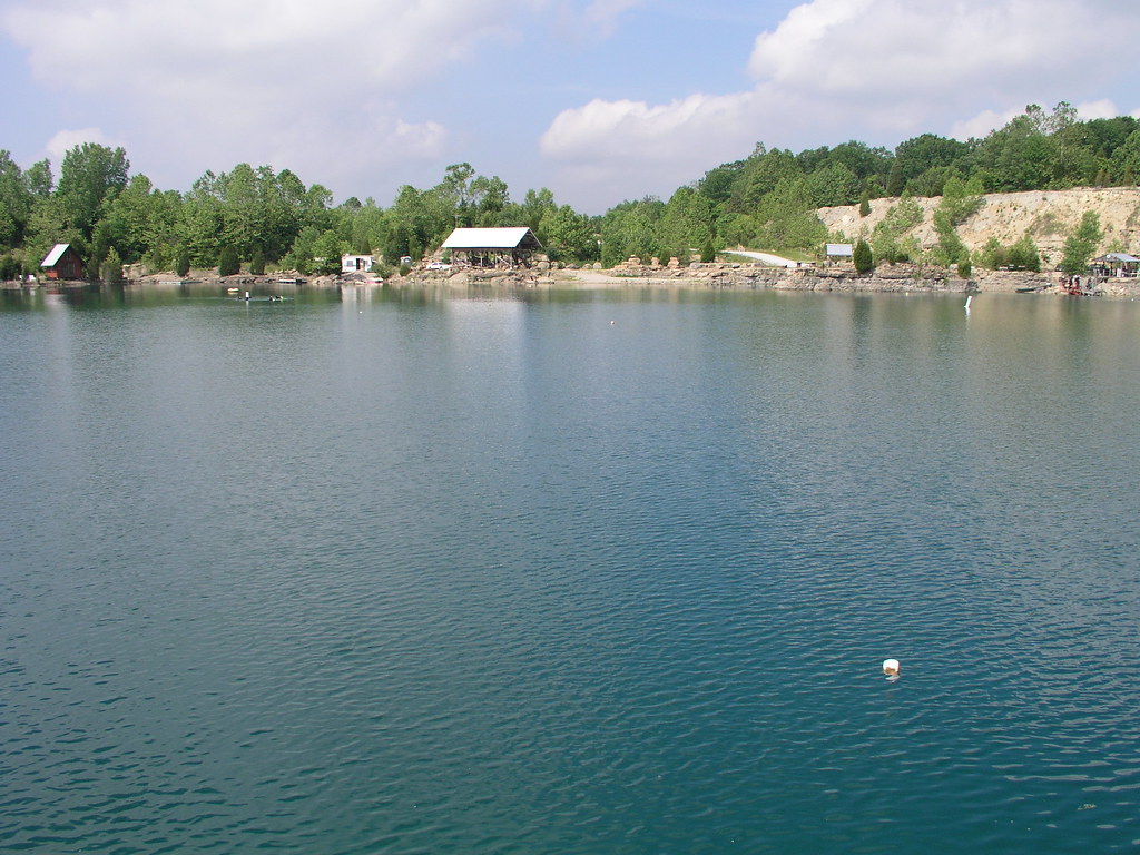
20050604-093902

20050604-093758

20050604-093858
20050604-094038

20050604-164958
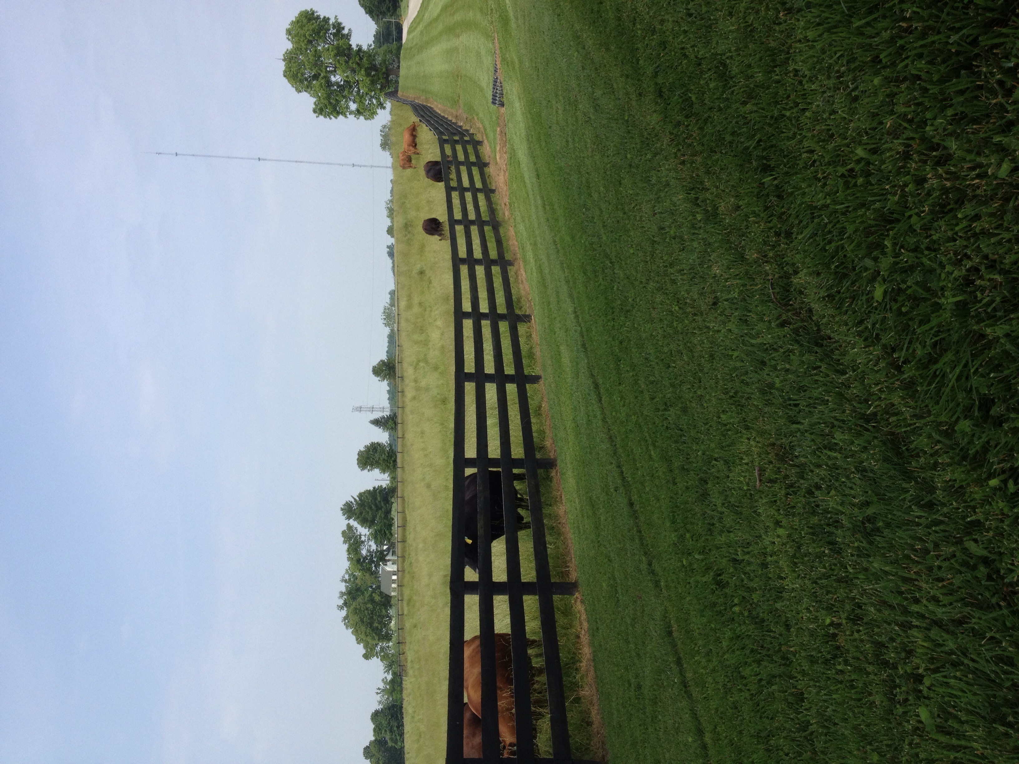
Mooo!
Topographic Map of Pendleton Rd, Pendleton, KY, USA
Find elevation by address:

Places near Pendleton Rd, Pendleton, KY, USA:
Pendleton
Old Jericho Rd, La Grange, KY, USA
428 Old Jericho Rd
2613 Singleton Ln
St Estes Rd, Smithfield, KY, USA
1450 W Hwy 42
1794 Zachary Dr
1796 Zachary Dr
Smithfield
205 E Main St
La Grange
W Main St, La Grange, KY, USA
3403 Dusty Star Dr
519 N 5th Ave
1126 Cherry Hollow Rd
Vista Way
16 S Main St, New Castle, KY, USA
New Castle
State Hwy 22, Crestwood, KY, USA
17 Depot Ave, Eminence, KY, USA
Recent Searches:
- Elevation of Jadagoniai, Kaunas District Municipality, Lithuania
- Elevation of Pagonija rock, Kranto 7-oji g. 8"N, Kaunas, Lithuania
- Elevation of Co Rd 87, Jamestown, CO, USA
- Elevation of Tenjo, Cundinamarca, Colombia
- Elevation of Côte-des-Neiges, Montreal, QC H4A 3J6, Canada
- Elevation of Bobcat Dr, Helena, MT, USA
- Elevation of Zu den Ihlowbergen, Althüttendorf, Germany
- Elevation of Badaber, Peshawar, Khyber Pakhtunkhwa, Pakistan
- Elevation of SE Heron Loop, Lincoln City, OR, USA
- Elevation of Slanický ostrov, 01 Námestovo, Slovakia