Elevation of New Castle, KY, USA
Location: United States > Kentucky > Henry County >
Longitude: -85.169676
Latitude: 38.4334003
Elevation: 258m / 846feet
Barometric Pressure: 98KPa
Elevation Map:
Satellite Map:
Related Photos:

Smithfield Roller Mills

Elmburg church 7

6/23 ~ View #fmsphotoaday

Dutch Tract Cemetery, Pleasureville

Front View

The Sun Sets on Eminence, KY

CSXT Q272, Campbellsburg, KY

Northern Kentucky Farm (Owen County, Kentucky)

Three-Portal Barn with Quilt Square (Owen County, Kentucky)

Northern Kentucky Landscape (Henry County, Kentucky)
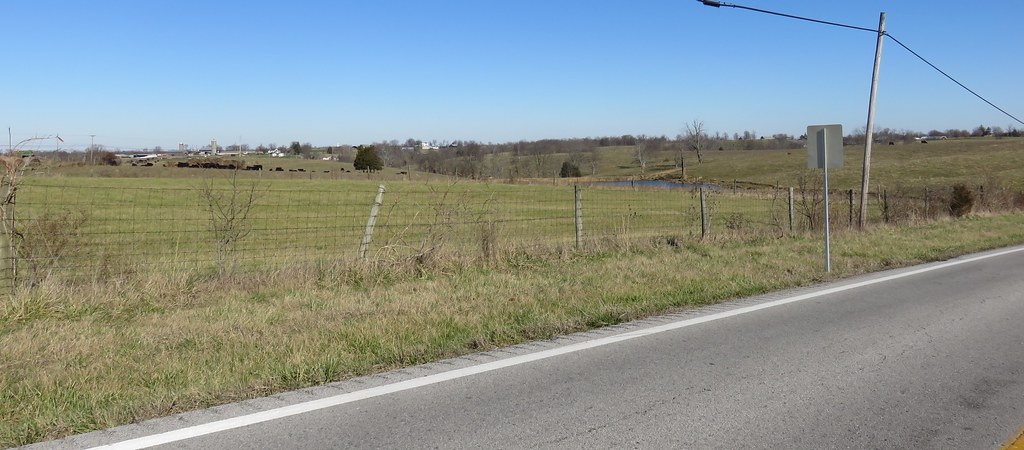
Northern Kentucky Landscape (Henry County, Kentucky)

20140815-IMG_3607.jpg

20110807-13

20110807-14

20110807-17
Topographic Map of New Castle, KY, USA
Find elevation by address:

Places near New Castle, KY, USA:
16 S Main St, New Castle, KY, USA
Henry County
17 Depot Ave, Eminence, KY, USA
Eminence
Drennon Rd, Campbellsburg, KY, USA
Smithfield
Pleasureville
St Estes Rd, Smithfield, KY, USA
428 Old Jericho Rd
Pendleton Rd, Pendleton, KY, USA
Pendleton
Old Jericho Rd, La Grange, KY, USA
Vista Way
2613 Singleton Ln
1796 Zachary Dr
1794 Zachary Dr
3403 Dusty Star Dr
1126 Cherry Hollow Rd
1450 W Hwy 42
205 E Main St
Recent Searches:
- Elevation of Congressional Dr, Stevensville, MD, USA
- Elevation of Bellview Rd, McLean, VA, USA
- Elevation of Stage Island Rd, Chatham, MA, USA
- Elevation of Shibuya Scramble Crossing, 21 Udagawacho, Shibuya City, Tokyo -, Japan
- Elevation of Jadagoniai, Kaunas District Municipality, Lithuania
- Elevation of Pagonija rock, Kranto 7-oji g. 8"N, Kaunas, Lithuania
- Elevation of Co Rd 87, Jamestown, CO, USA
- Elevation of Tenjo, Cundinamarca, Colombia
- Elevation of Côte-des-Neiges, Montreal, QC H4A 3J6, Canada
- Elevation of Bobcat Dr, Helena, MT, USA