Elevation of W Hwy 42, La Grange, KY, USA
Location: United States > Kentucky > Oldham County > La Grange >
Longitude: -85.372772
Latitude: 38.481441
Elevation: 268m / 879feet
Barometric Pressure: 98KPa
Elevation Map:
Satellite Map:
Related Photos:

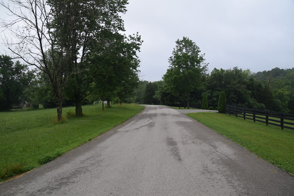
Morning View

My Friend Joy Looking Down A Virtual Old West Alley

6/23 ~ View #fmsphotoaday

Oldham County Fair from the Ferris Wheel - 10/365

Just A Street that has BIG THINGS that go down the street

View From The Observation Tower

pleasant view church, westport rd., wood township, clark county, indiana

One Nineteen West Main, La Grange, KY

View of the Ohio river

20160705 060919 1SL6

CSXT Q272, Campbellsburg, KY

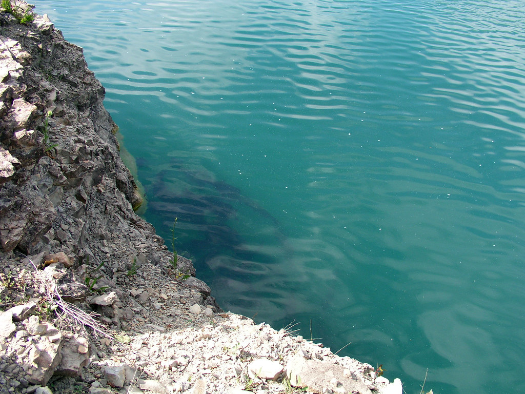
Falling Rock Quarry panoramic

20160705 061405 1SL6

20160705 061449 1SL6

20160705 061230 1SL6

20160705 061427 1SL6

20160705 061433 1SL6

Farm scape

20160705 060935 1SL6
20160705 060926 1SL6

20160705 061113 1SL6

20050604-093908

Mooo!

20050604-093902

20050604-093858

20050604-094038
20050604-093758

20050604-093914

20050604-170150
Topographic Map of W Hwy 42, La Grange, KY, USA
Find elevation by address:

Places near W Hwy 42, La Grange, KY, USA:
2613 Singleton Ln
519 N 5th Ave
Pendleton
Pendleton Rd, Pendleton, KY, USA
205 E Main St
La Grange
W Main St, La Grange, KY, USA
1794 Zachary Dr
1796 Zachary Dr
1126 Cherry Hollow Rd
Old Jericho Rd, La Grange, KY, USA
428 Old Jericho Rd
3403 Dusty Star Dr
St Estes Rd, Smithfield, KY, USA
Vista Way
State Hwy 22, Crestwood, KY, USA
3826 N Camden Ln
Smithfield
3109 Heritage Ct
16 S Main St, New Castle, KY, USA
Recent Searches:
- Elevation of Co Rd 87, Jamestown, CO, USA
- Elevation of Tenjo, Cundinamarca, Colombia
- Elevation of Côte-des-Neiges, Montreal, QC H4A 3J6, Canada
- Elevation of Bobcat Dr, Helena, MT, USA
- Elevation of Zu den Ihlowbergen, Althüttendorf, Germany
- Elevation of Badaber, Peshawar, Khyber Pakhtunkhwa, Pakistan
- Elevation of SE Heron Loop, Lincoln City, OR, USA
- Elevation of Slanický ostrov, 01 Námestovo, Slovakia
- Elevation of Spaceport America, Co Rd A, Truth or Consequences, NM, USA
- Elevation of Warwick, RI, USA