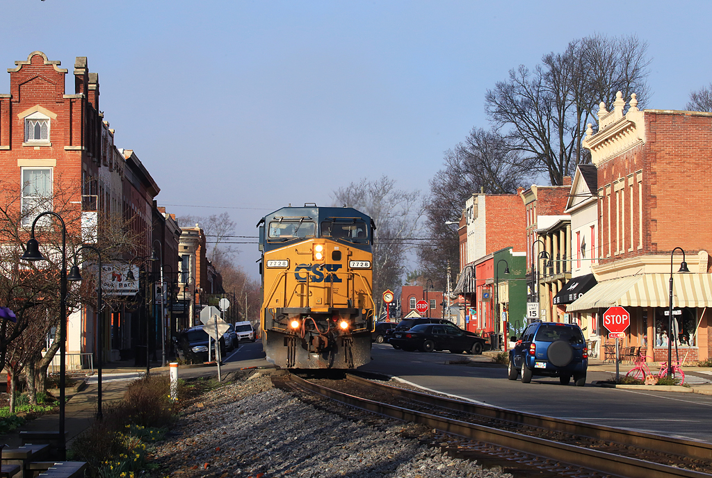
Elevation of W Main St, La Grange, KY, USA
Location: United States > Kentucky > Oldham County > La Grange >
Longitude: -85.379309
Latitude: 38.407297
Elevation: 263m / 863feet
Barometric Pressure: 98KPa
Elevation Map:
Satellite Map:
Related Photos:
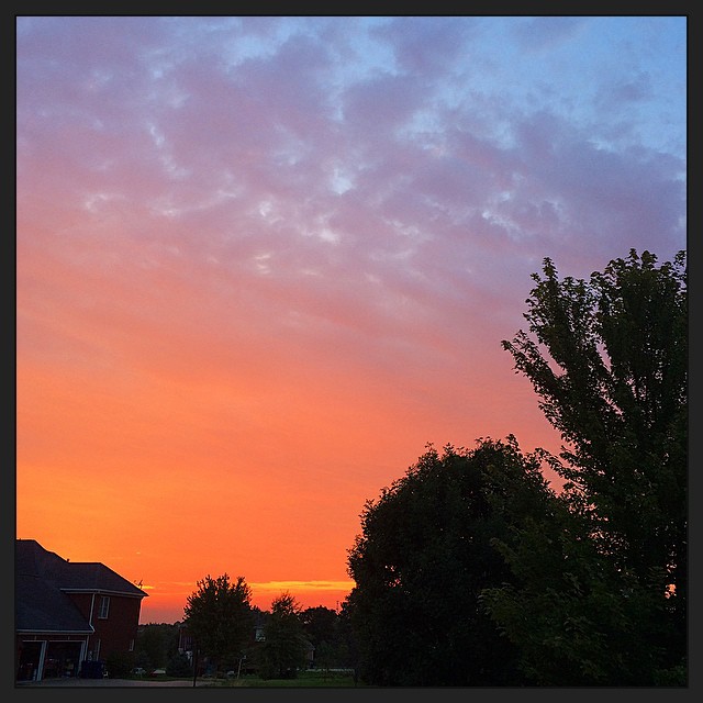
The view from my rocking chair || #sunset #beautiful #sky

Pewee Valley Presbyterian Church
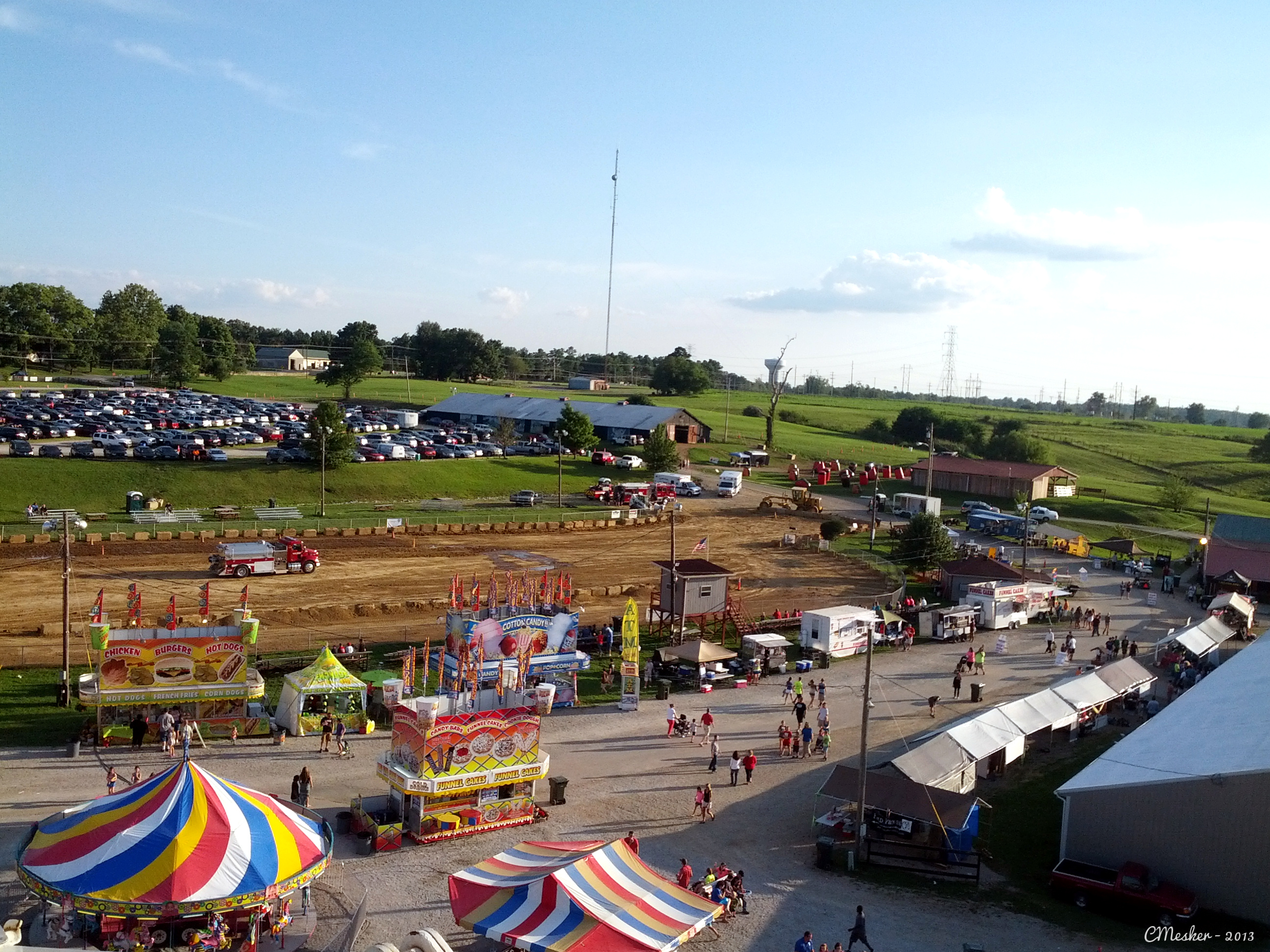
Oldham County Fair from the Ferris Wheel - 10/365
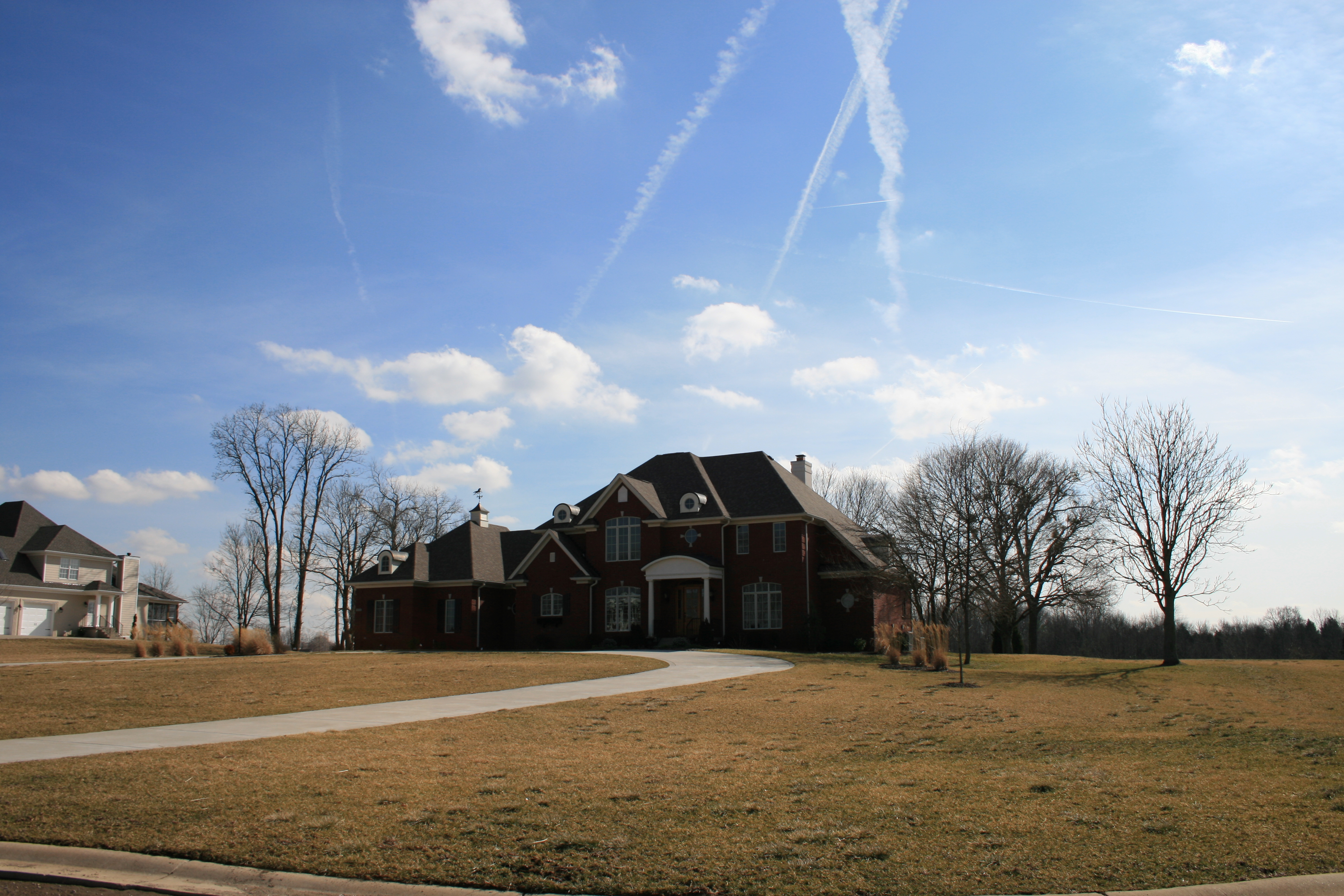
House that Popaw Built
Street View

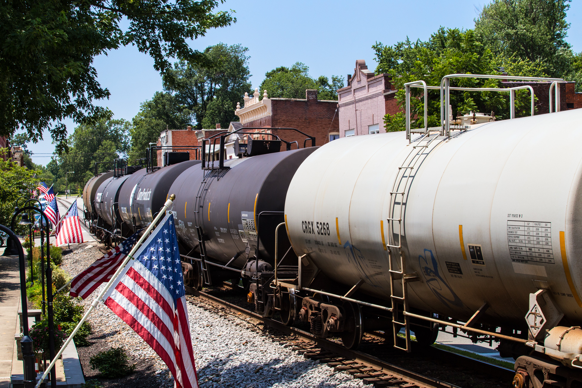
Just A Street that has BIG THINGS that go down the street
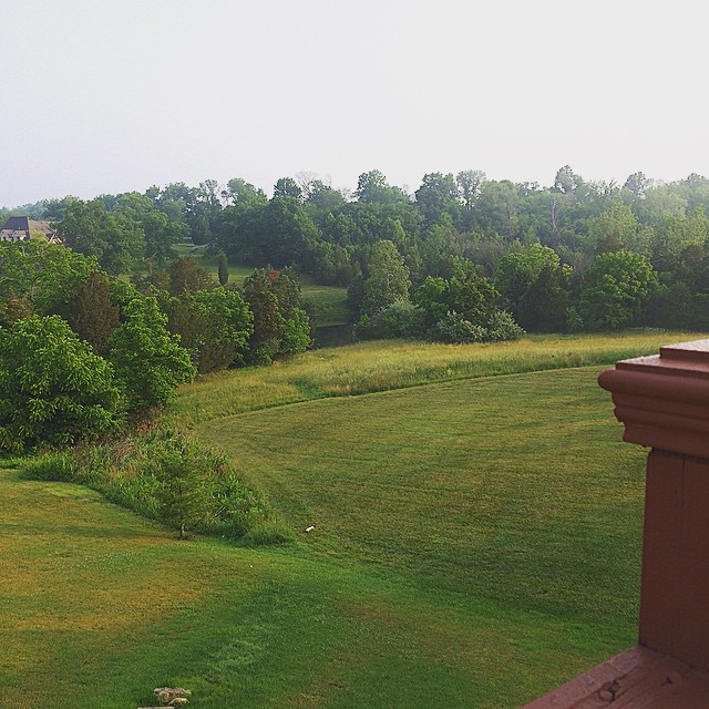
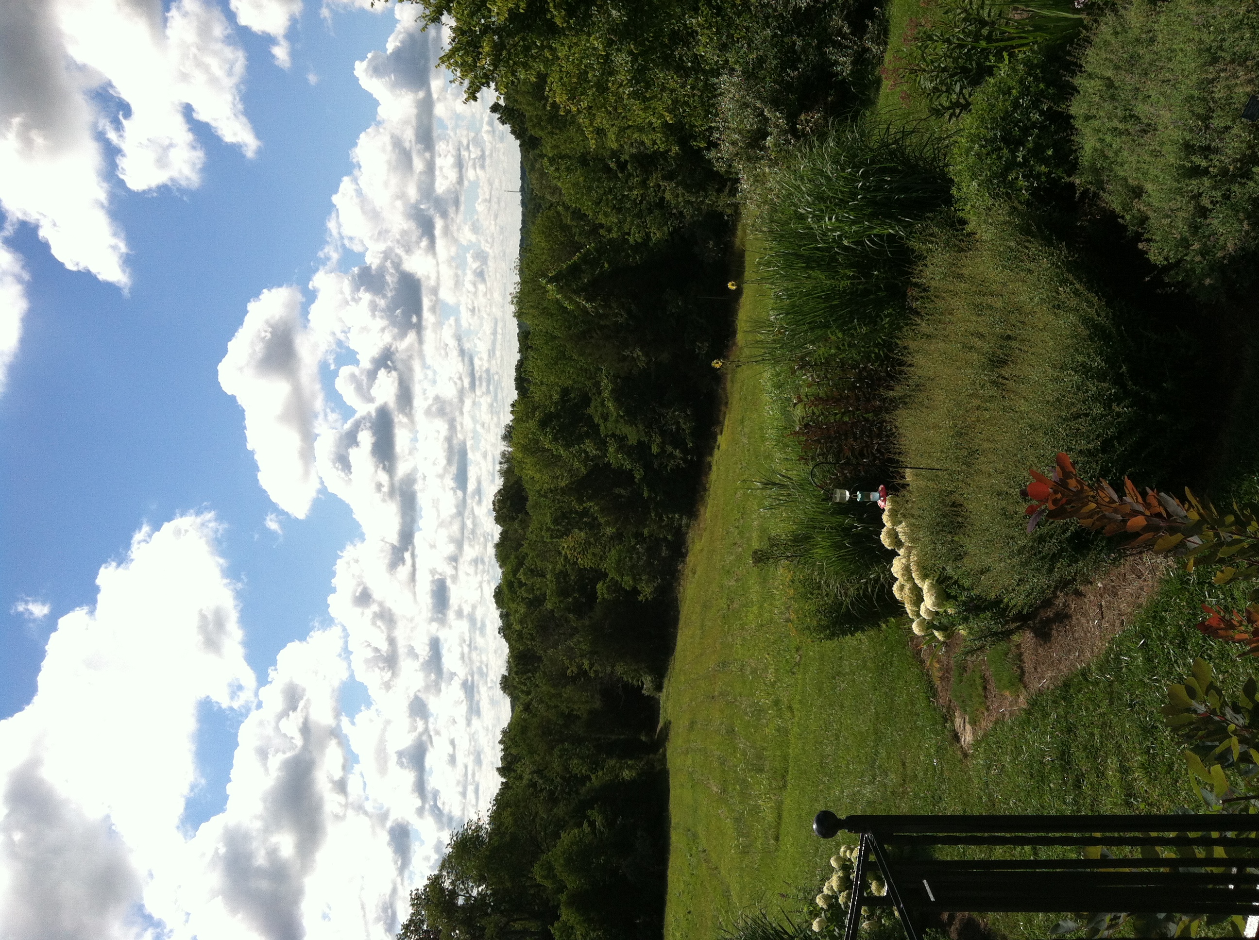
So, we just moved into our new house and I would say that the view off of my back deck doesn't suck very much || #dontbehating
View From The Observation Tower

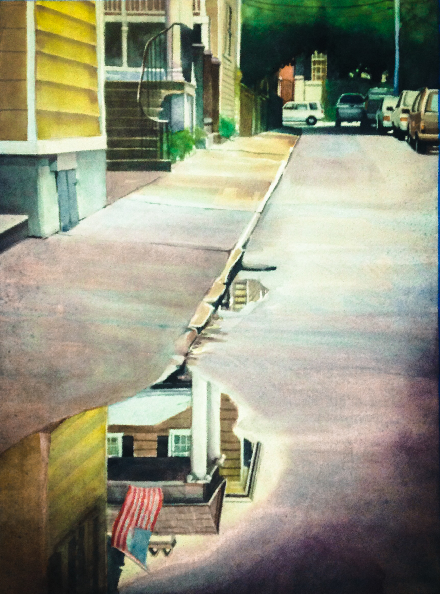
My Friend Joy Looking Down A Virtual Old West Alley

6/23 ~ View #fmsphotoaday
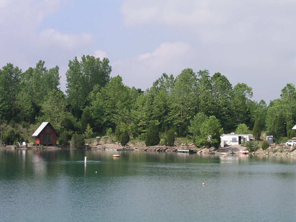
Heritage Farm
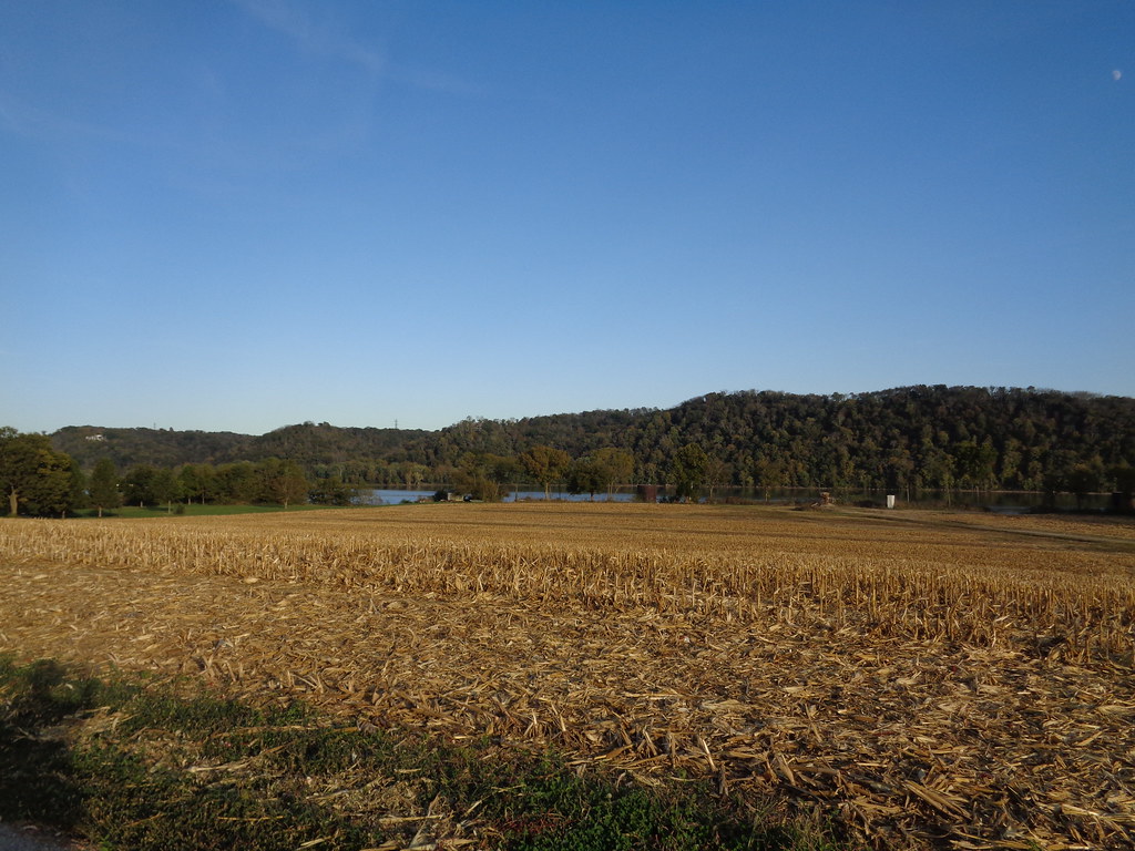
View of the Ohio river
Morning View

The Sun Sets on Eminence, KY
I <3 KY
I <3 KY
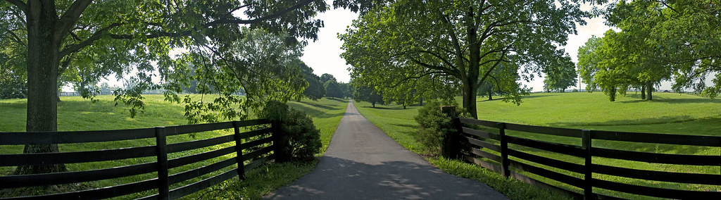
Farm scape
I <3 KY
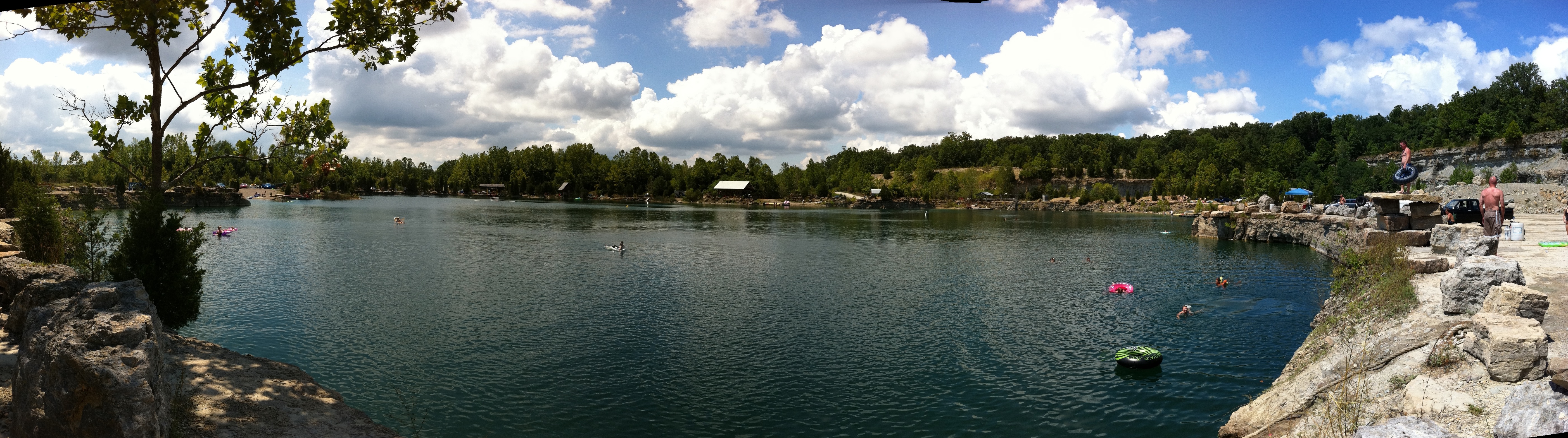
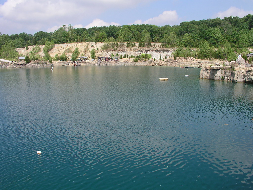
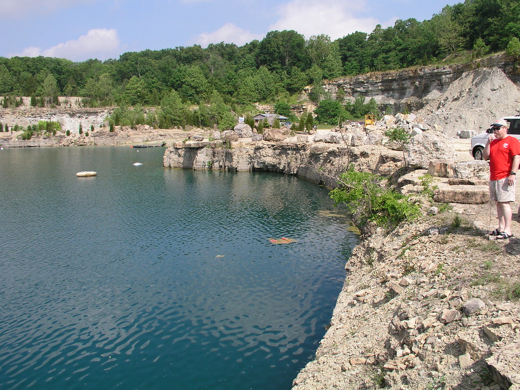
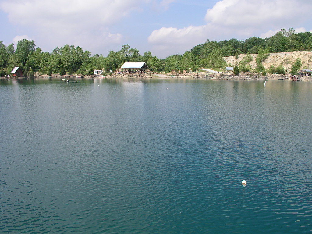
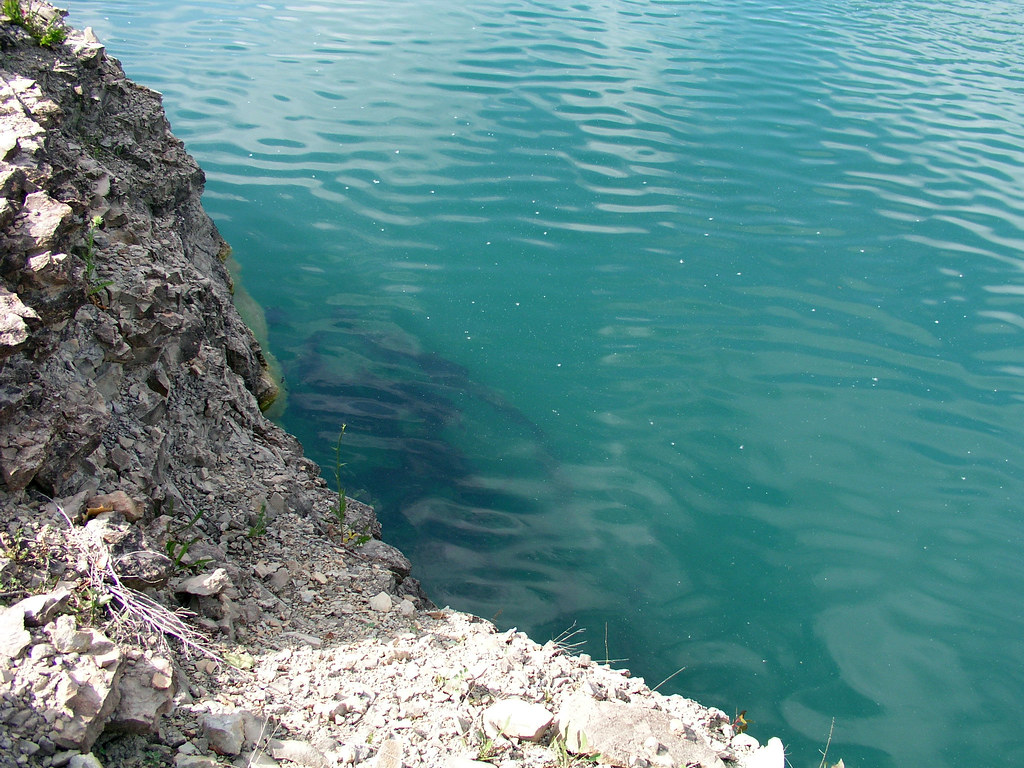
Falling Rock Quarry panoramic
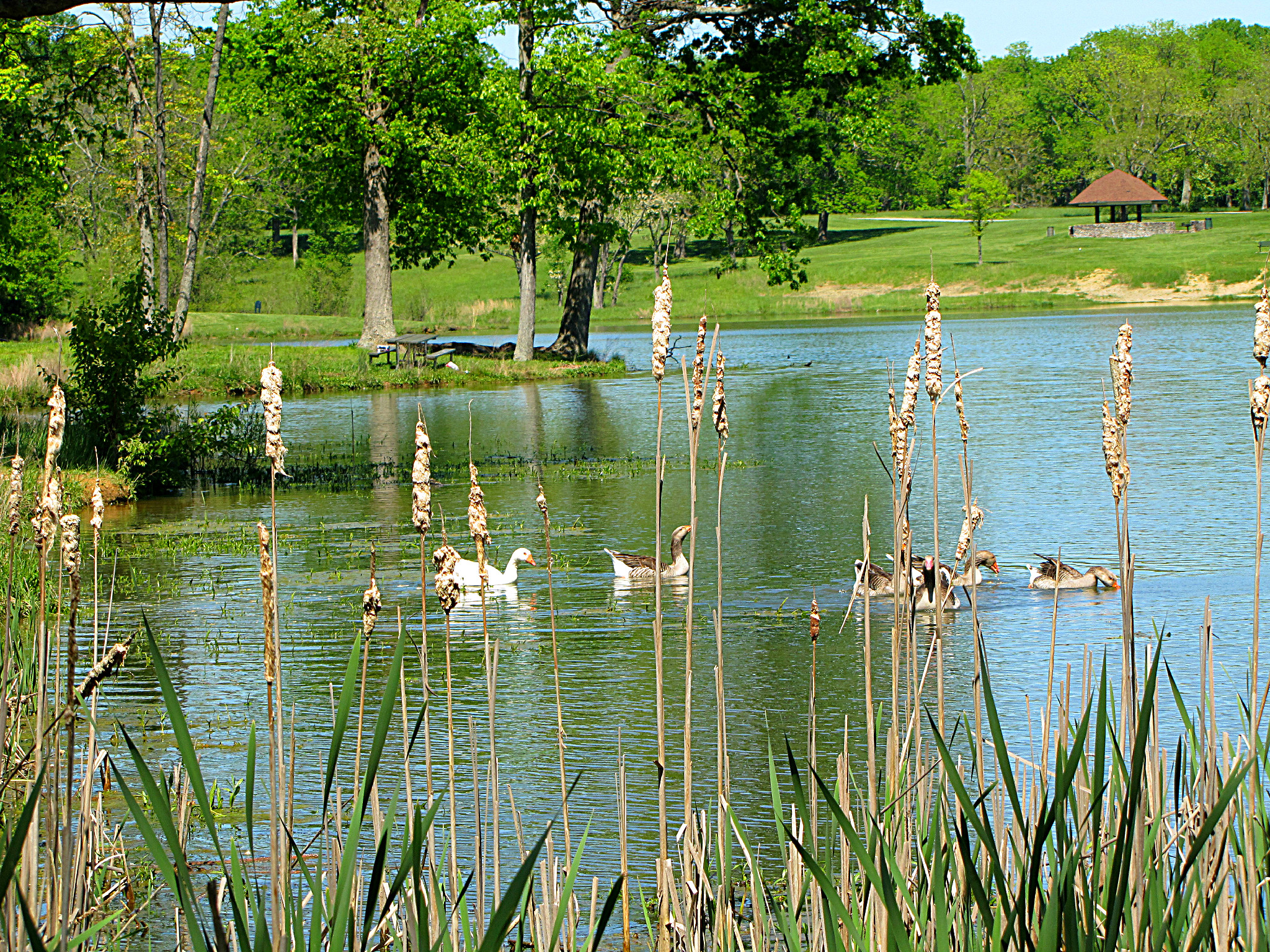
Emden Domestic Goose & Greylag Geese

20050604-145020
20050604-170150
20050604-093908
20050604-093914
I <3 KY
20050604-093902
20050604-093758

20050604-093858
20050604-094038
20050604-164958
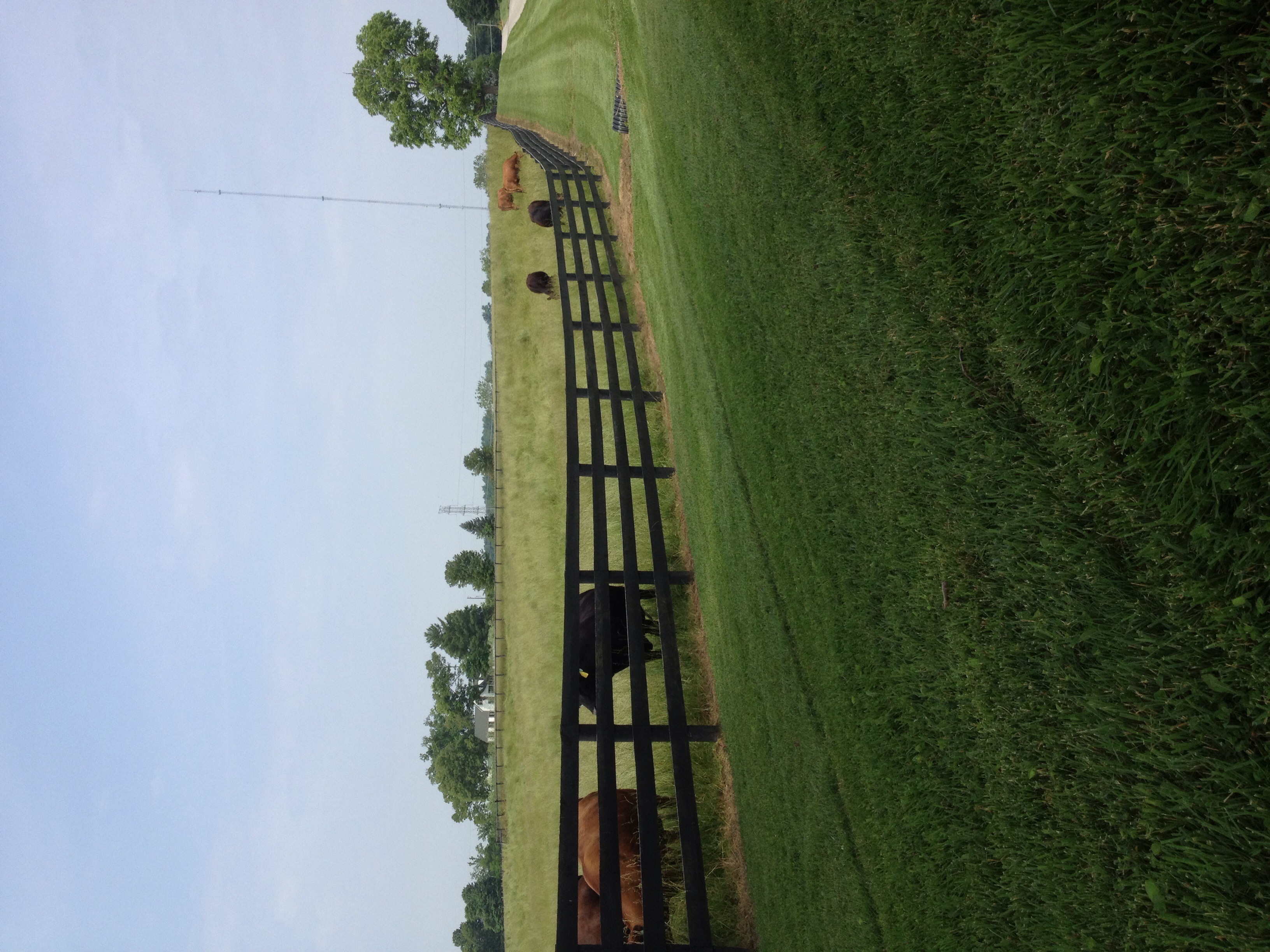
Mooo!

20160705 081956 1SL6
20160705 061449 1SL6
Topographic Map of W Main St, La Grange, KY, USA
Find elevation by address:

Places near W Main St, La Grange, KY, USA:
La Grange
205 E Main St
519 N 5th Ave
1126 Cherry Hollow Rd
1794 Zachary Dr
1796 Zachary Dr
2613 Singleton Ln
3403 Dusty Star Dr
State Hwy 22, Crestwood, KY, USA
Vista Way
Old Jericho Rd, La Grange, KY, USA
1450 W Hwy 42
3826 N Camden Ln
428 Old Jericho Rd
St Estes Rd, Smithfield, KY, USA
3109 Heritage Ct
Pendleton Rd, Pendleton, KY, USA
Pendleton
Smithfield
17 Depot Ave, Eminence, KY, USA
Recent Searches:
- Elevation of Shibuya Scramble Crossing, 21 Udagawacho, Shibuya City, Tokyo -, Japan
- Elevation of Jadagoniai, Kaunas District Municipality, Lithuania
- Elevation of Pagonija rock, Kranto 7-oji g. 8"N, Kaunas, Lithuania
- Elevation of Co Rd 87, Jamestown, CO, USA
- Elevation of Tenjo, Cundinamarca, Colombia
- Elevation of Côte-des-Neiges, Montreal, QC H4A 3J6, Canada
- Elevation of Bobcat Dr, Helena, MT, USA
- Elevation of Zu den Ihlowbergen, Althüttendorf, Germany
- Elevation of Badaber, Peshawar, Khyber Pakhtunkhwa, Pakistan
- Elevation of SE Heron Loop, Lincoln City, OR, USA