Elevation of 16 S Main St, New Castle, KY, USA
Location: United States > Kentucky > Henry County >
Longitude: -85.169863
Latitude: 38.433112
Elevation: 255m / 837feet
Barometric Pressure: 98KPa
Elevation Map:
Satellite Map:
Related Photos:
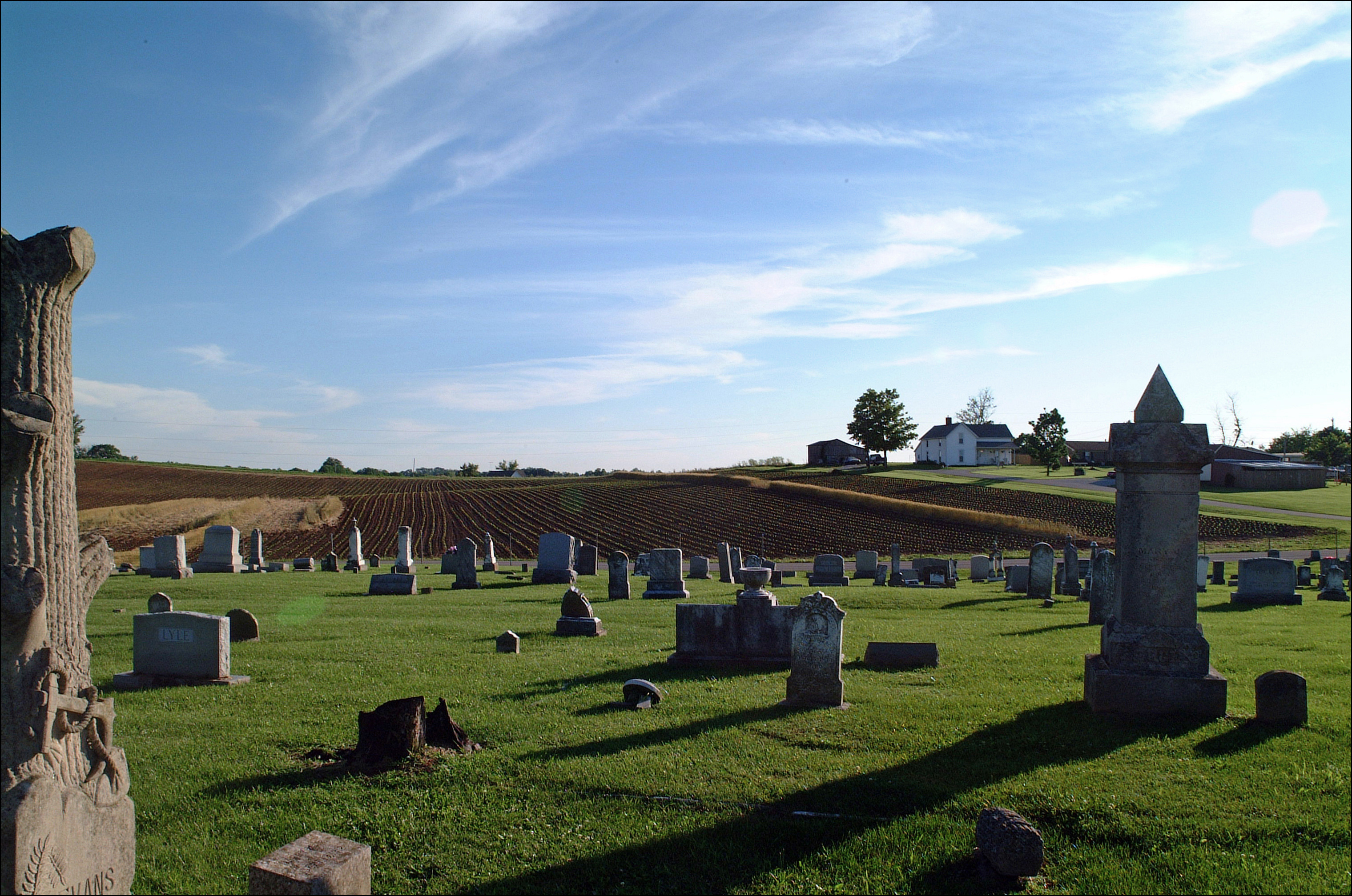
Dutch Tract Cemetery, Pleasureville
Front View

6/23 ~ View #fmsphotoaday

Three-Portal Barn with Quilt Square (Owen County, Kentucky)
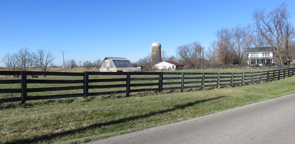
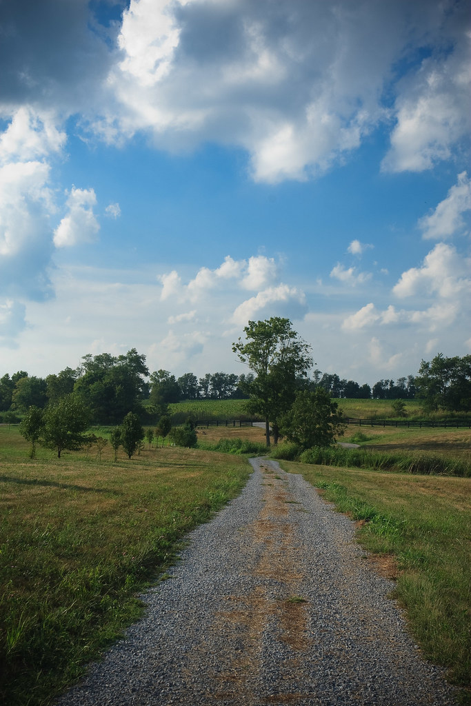
Northern Kentucky Farm (Owen County, Kentucky)
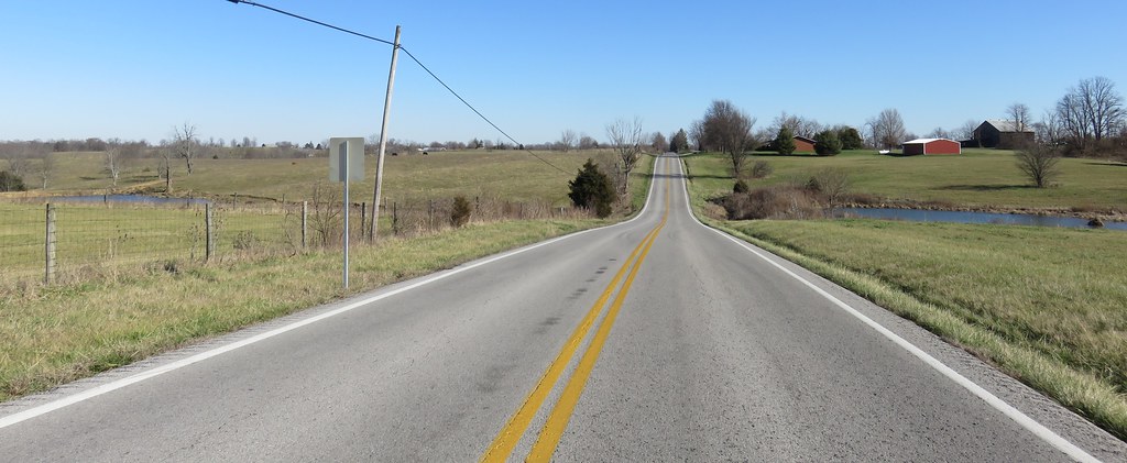
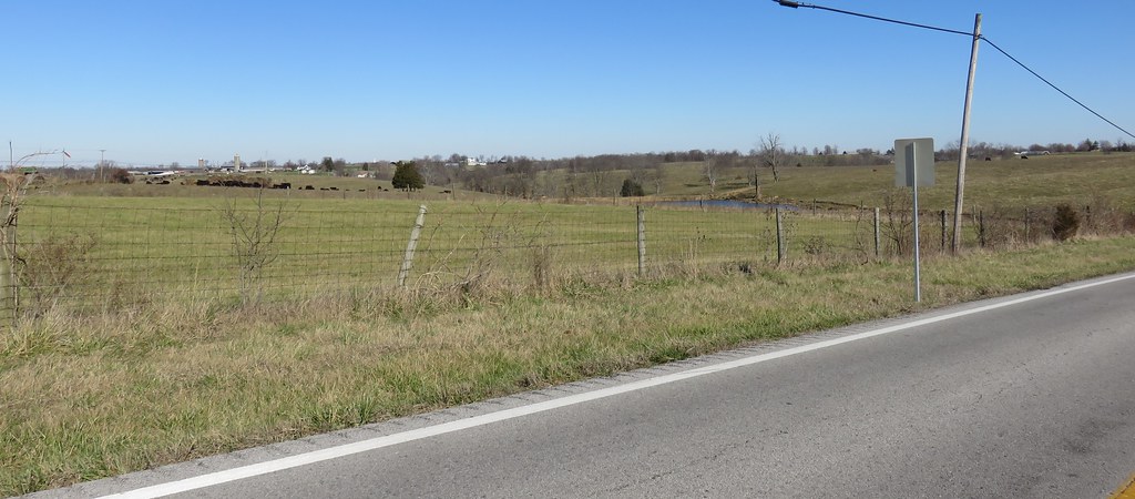
Northern Kentucky Landscape (Henry County, Kentucky)
Northern Kentucky Landscape (Henry County, Kentucky)

CSXT Q272, Campbellsburg, KY

20110807-14
20110807-13

20110807-17

20140815-IMG_3607.jpg
Topographic Map of 16 S Main St, New Castle, KY, USA
Find elevation by address:

Places near 16 S Main St, New Castle, KY, USA:
New Castle
Henry County
17 Depot Ave, Eminence, KY, USA
Eminence
Drennon Rd, Campbellsburg, KY, USA
Smithfield
Pleasureville
St Estes Rd, Smithfield, KY, USA
428 Old Jericho Rd
Pendleton Rd, Pendleton, KY, USA
Pendleton
Old Jericho Rd, La Grange, KY, USA
Vista Way
2613 Singleton Ln
1796 Zachary Dr
1794 Zachary Dr
3403 Dusty Star Dr
1126 Cherry Hollow Rd
1450 W Hwy 42
205 E Main St
Recent Searches:
- Elevation of Fern Rd, Whitmore, CA, USA
- Elevation of 62 Abbey St, Marshfield, MA, USA
- Elevation of Fernwood, Bradenton, FL, USA
- Elevation of Felindre, Swansea SA5 7LU, UK
- Elevation of Leyte Industrial Development Estate, Isabel, Leyte, Philippines
- Elevation of W Granada St, Tampa, FL, USA
- Elevation of Pykes Down, Ivybridge PL21 0BY, UK
- Elevation of Jalan Senandin, Lutong, Miri, Sarawak, Malaysia
- Elevation of Bilohirs'k
- Elevation of 30 Oak Lawn Dr, Barkhamsted, CT, USA