Elevation of Pelham, TN, USA
Location: United States > Tennessee > Grundy County >
Longitude: -85.8811068
Latitude: 35.3100567
Elevation: 312m / 1024feet
Barometric Pressure: 0KPa
Related Photos:

Horror Scene
Sewanee - February 6, 2016

Our picnic spot on Sewanee's campus (The University of the South) during our hike on the Perimeter Trail. We spent a wonderful 4 days, 3 nights in Little Bear Cabin in Monteagle, TN. The views were spectacular, from the cabin and in our many hikes. Planni
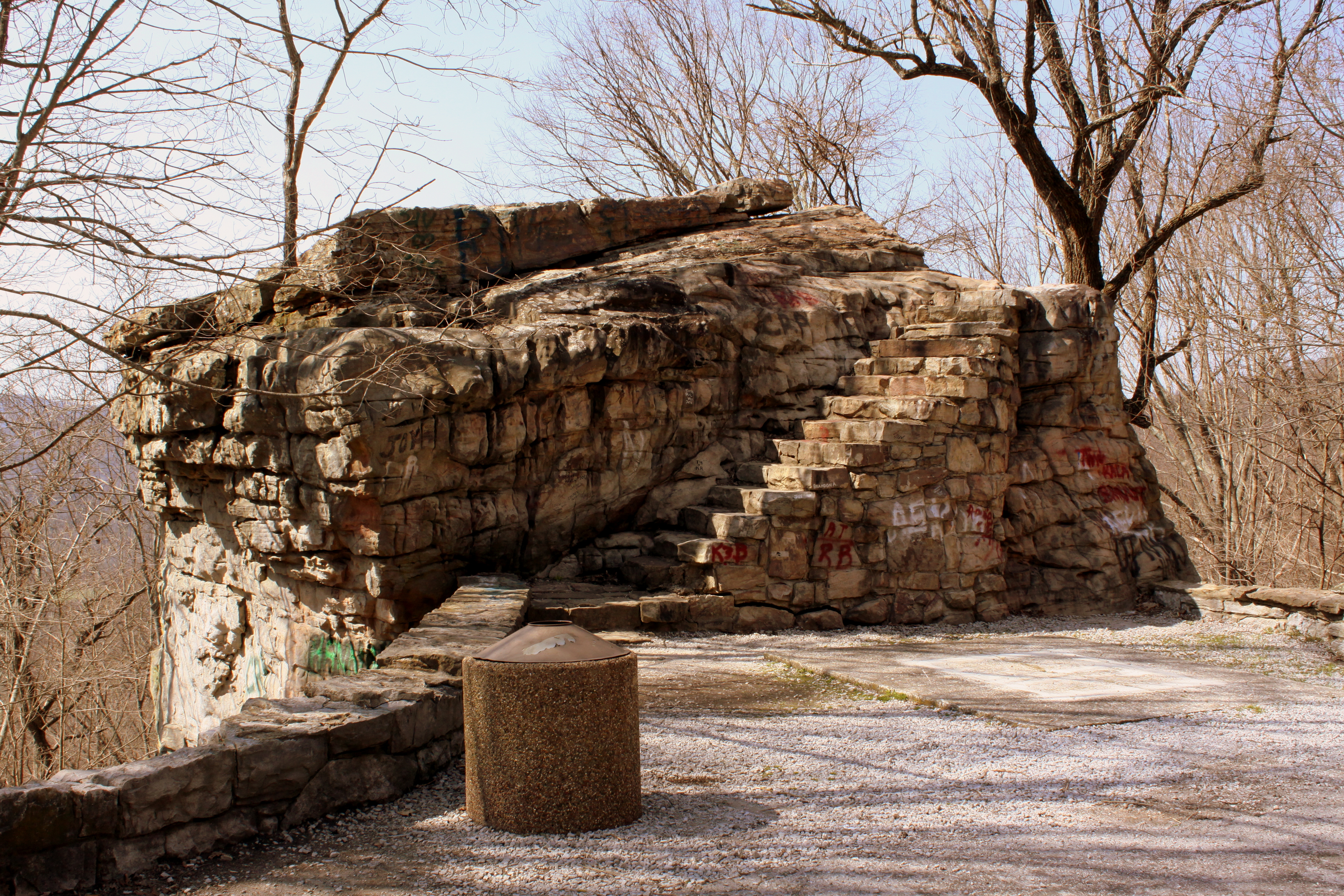
Big Rock & Scenic Overlook - Sewanee, TN

Green's View Road
Sewanee - February 6, 2016

Sewanee - February 6, 2016

Brace for Death

Airport Sunset

Sewanee - February 6, 2016

The War Memorial Cross, Sewanee,Tennessee
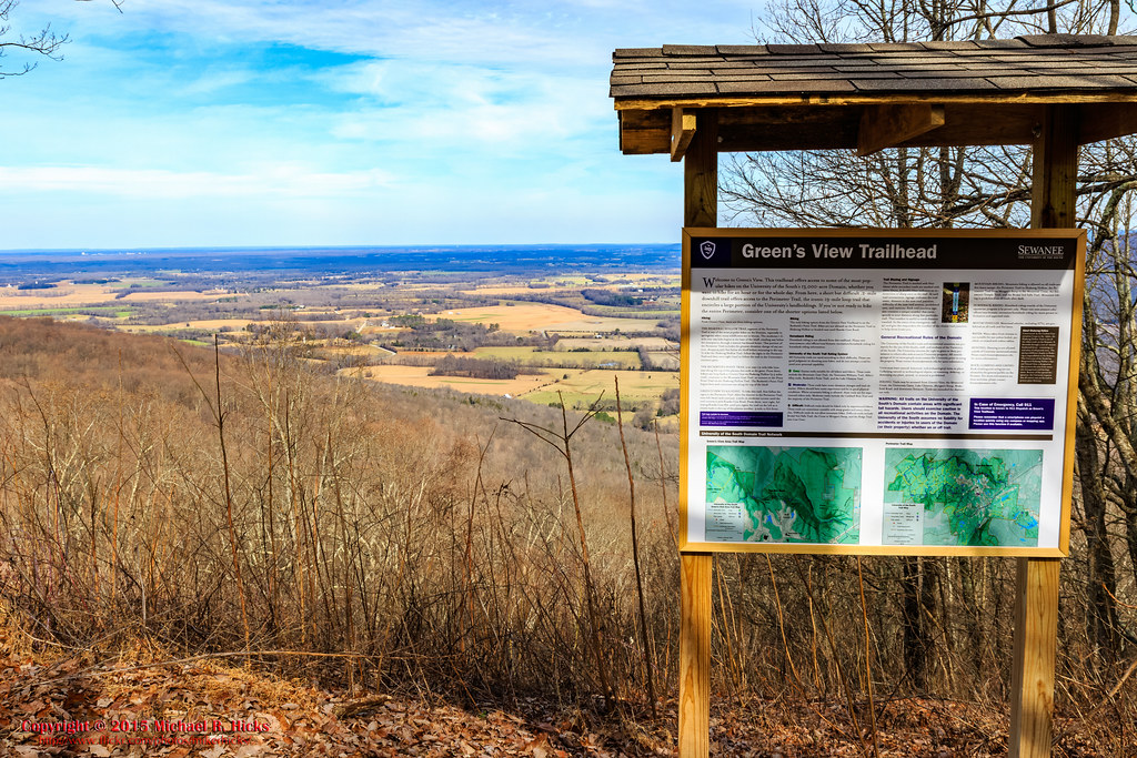
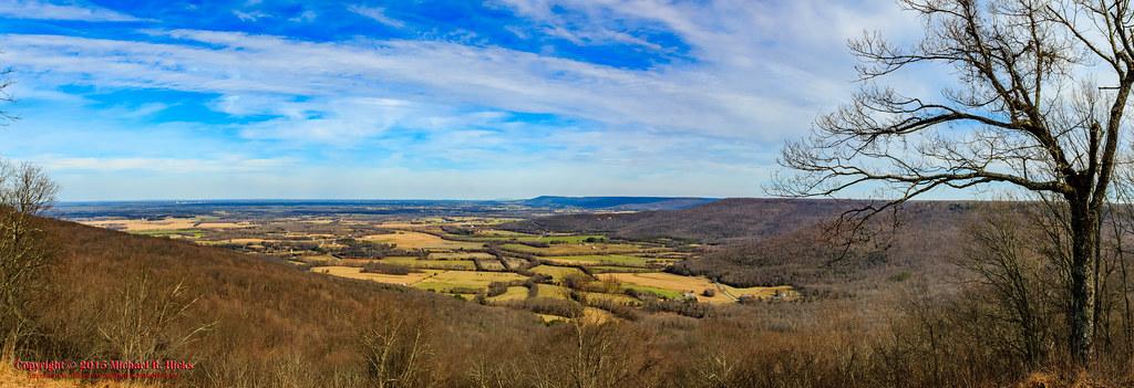
Green's View

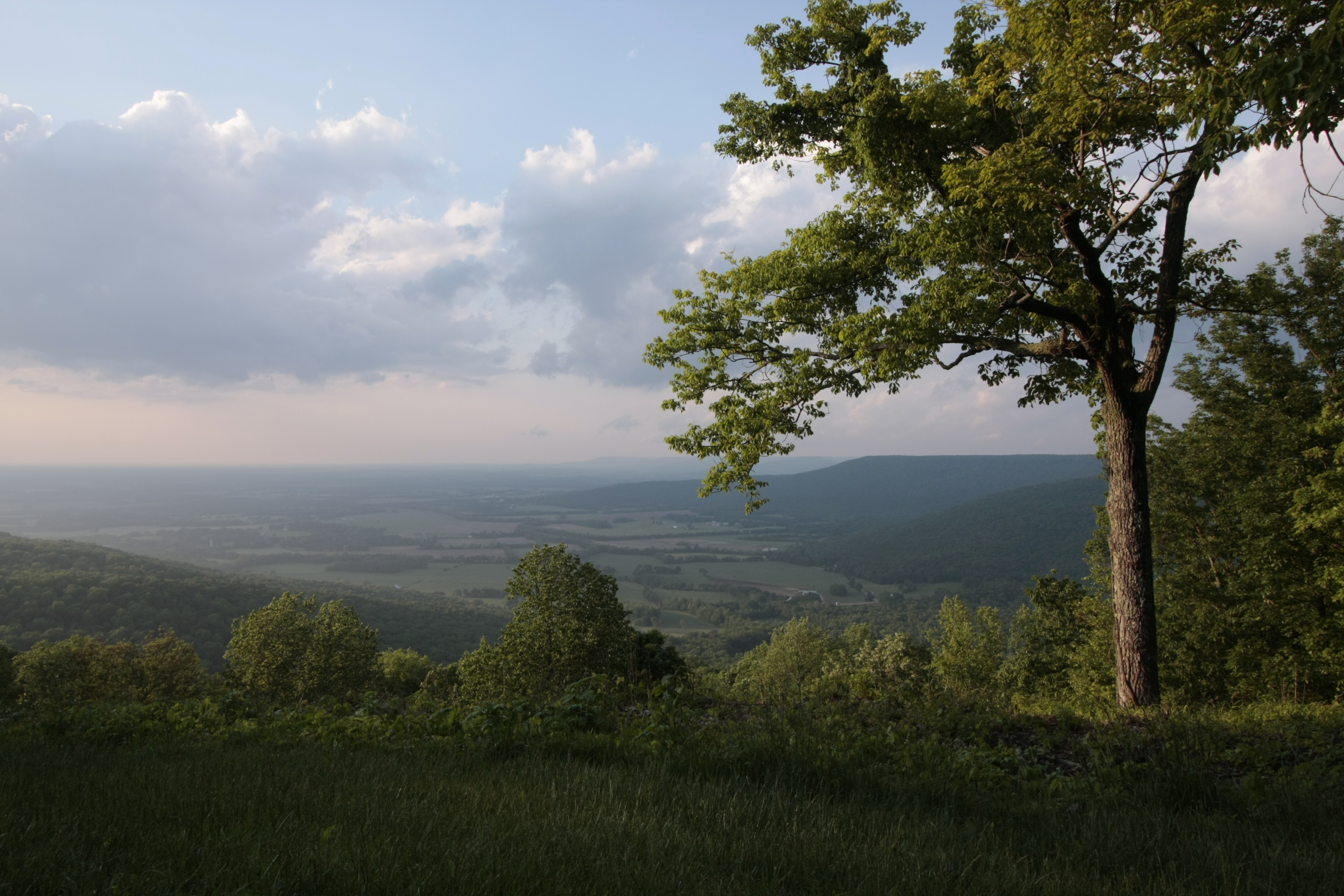
At The Foot of Breslin
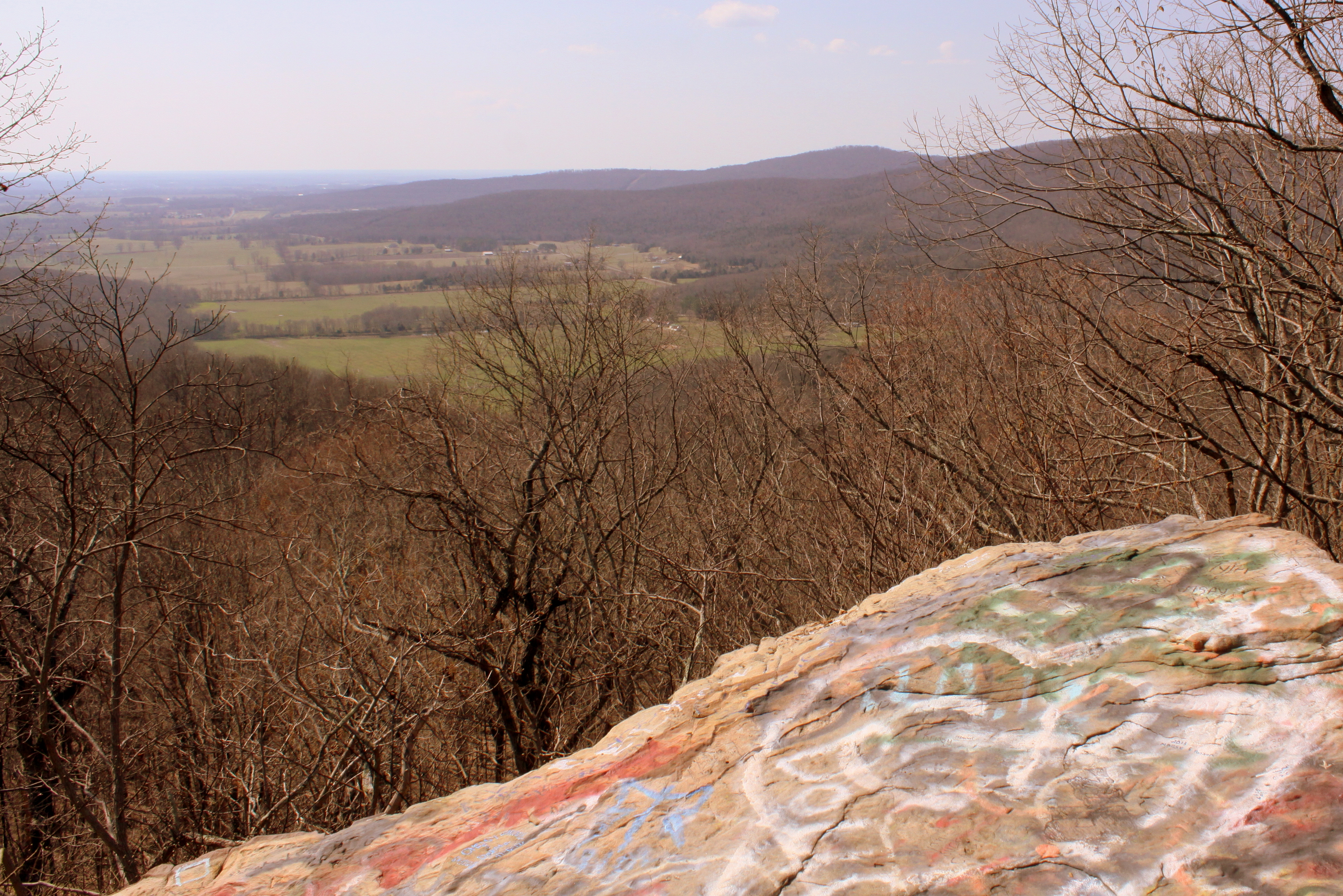
Big Rock & Scenic Overlook - Sewanee, TN
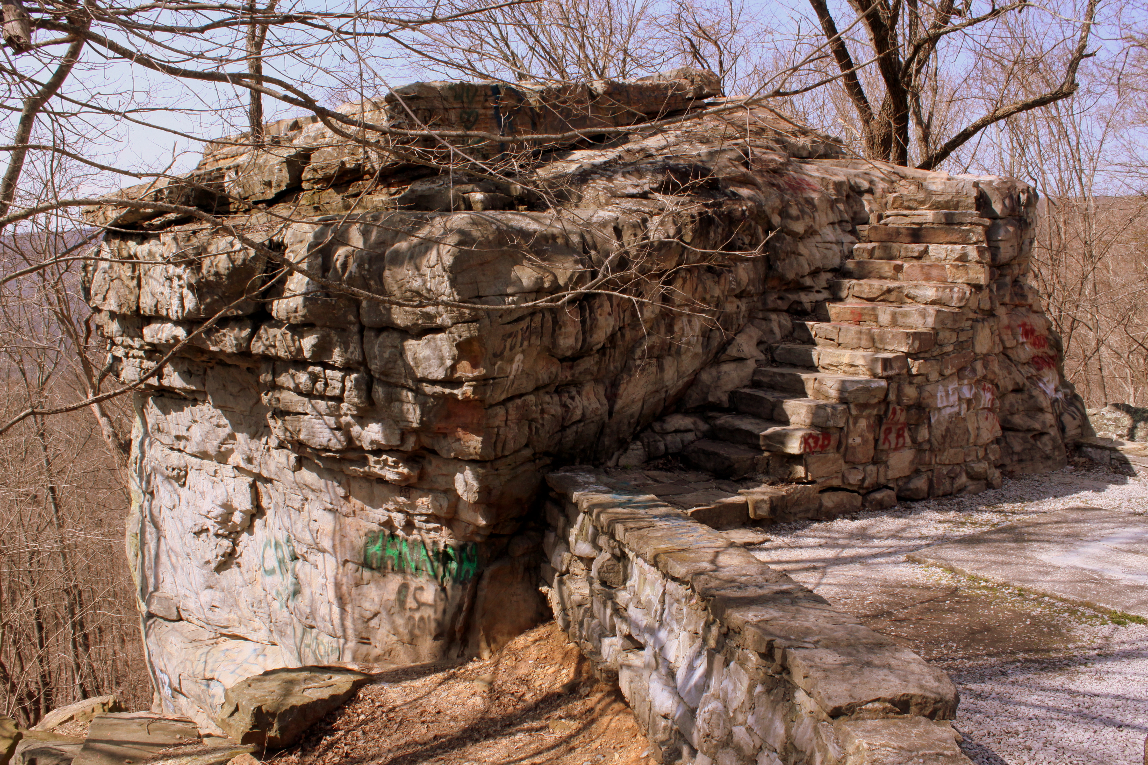
Big Rock & Scenic Overlook - Sewanee, TN

Commencement 2009

Gothic Sky

Noticings - My Newest Handknitted Hat, View from Above

Sewanee, TN Train Depot (?)

Enter This Gate To A World Of Death, My Deer

University of the South, Sewanee, TN - h324
Fiery Gizzard
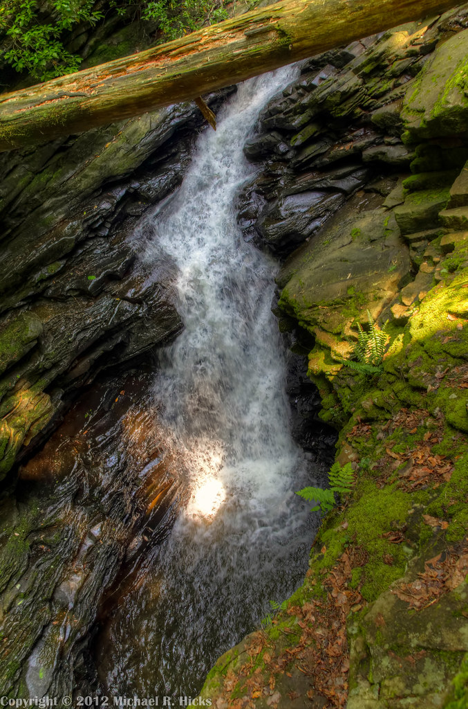
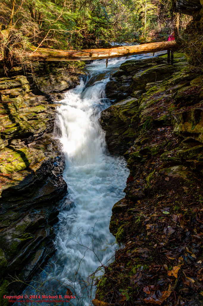
Sewanee Southern Section Perimeter Trail - Bridal Veil Falls

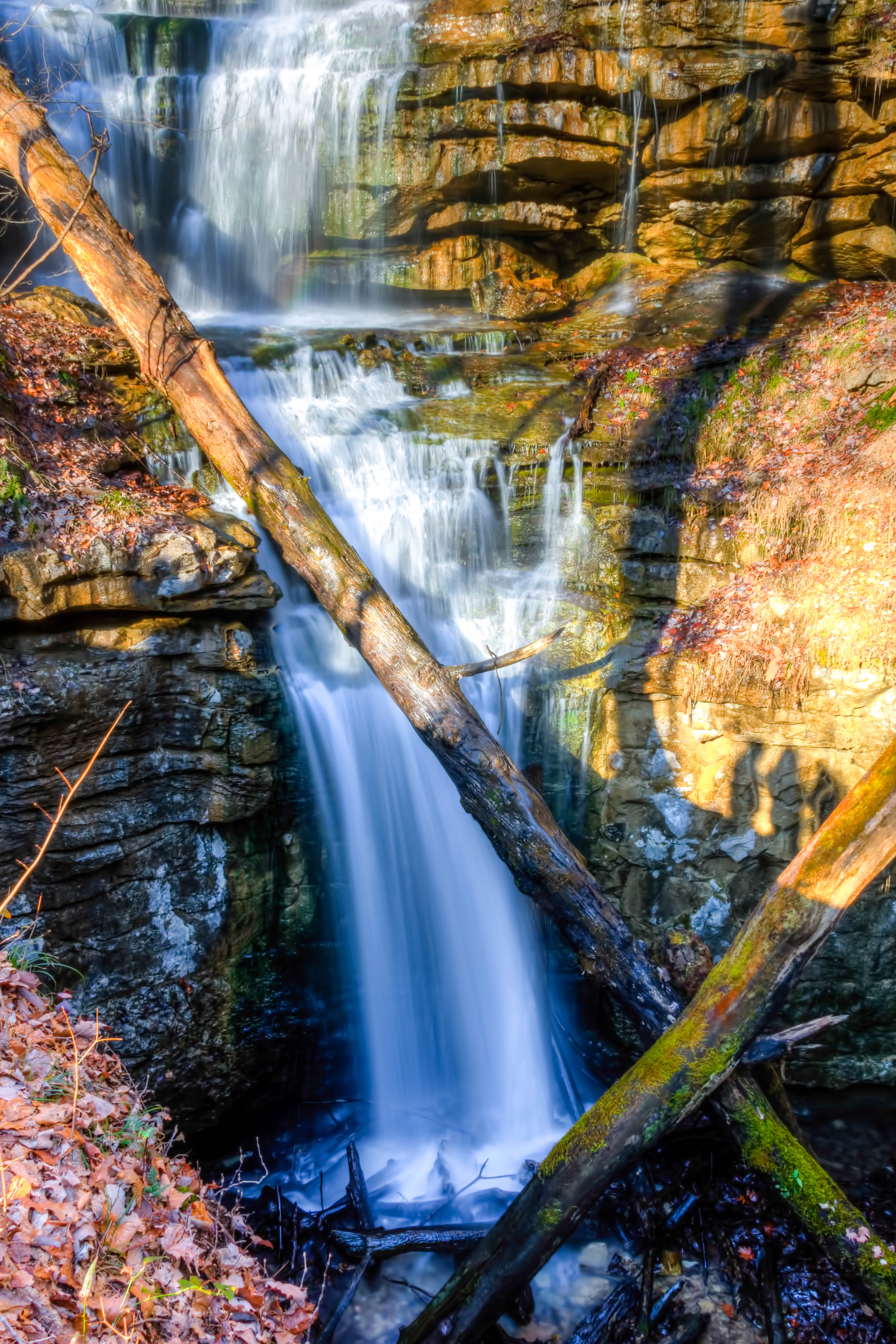
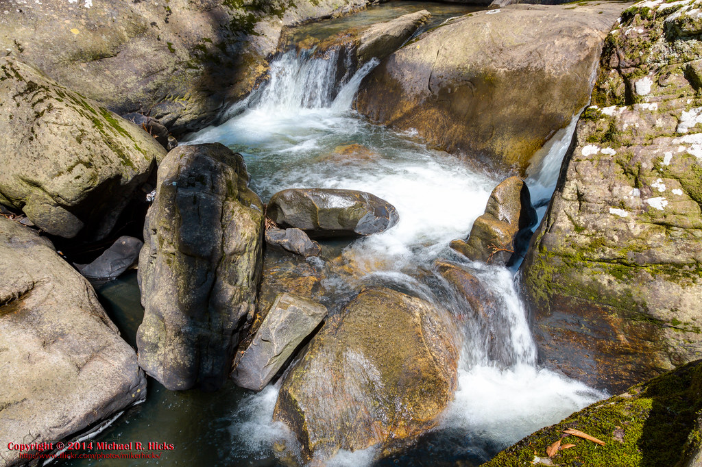
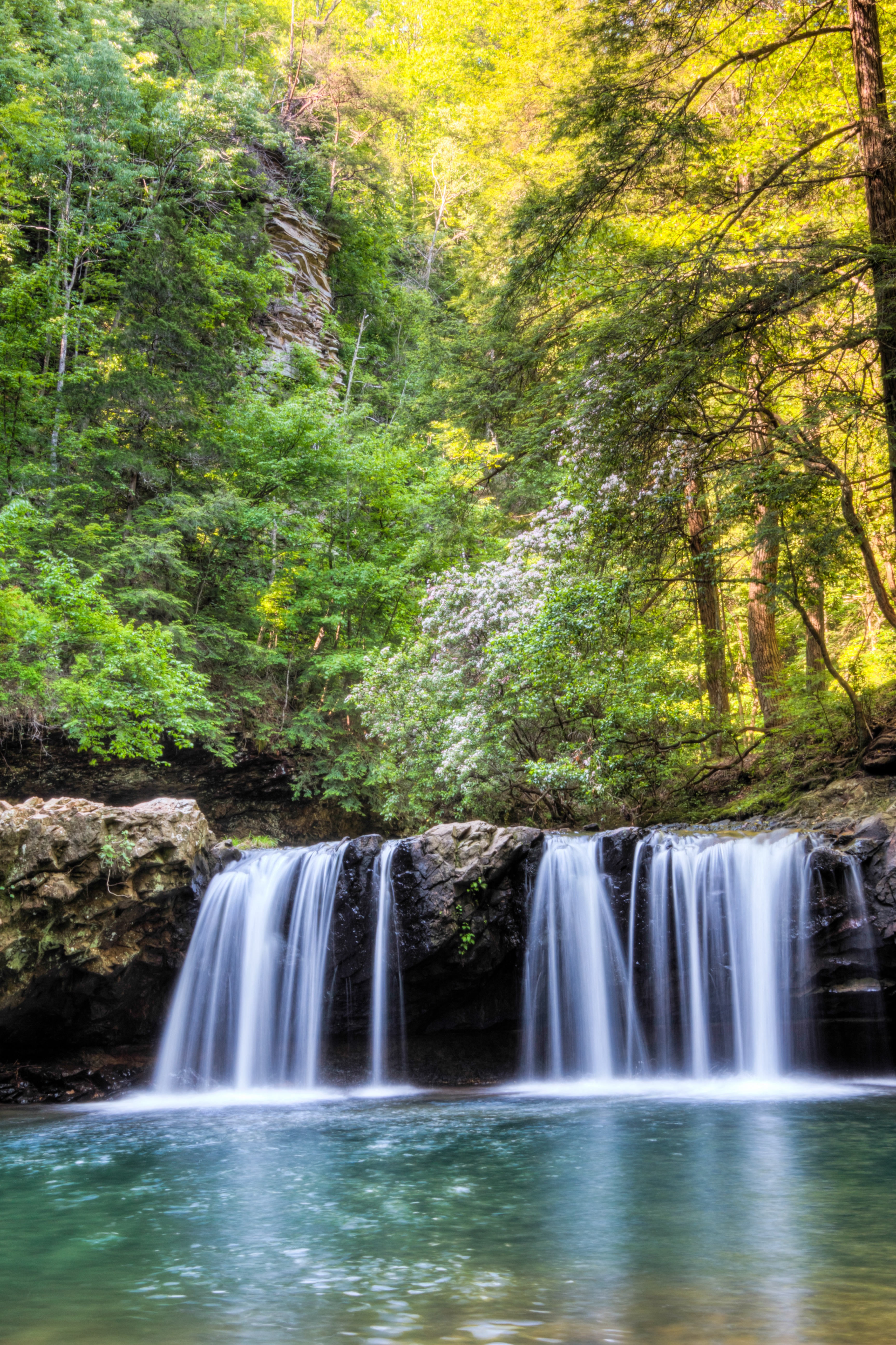
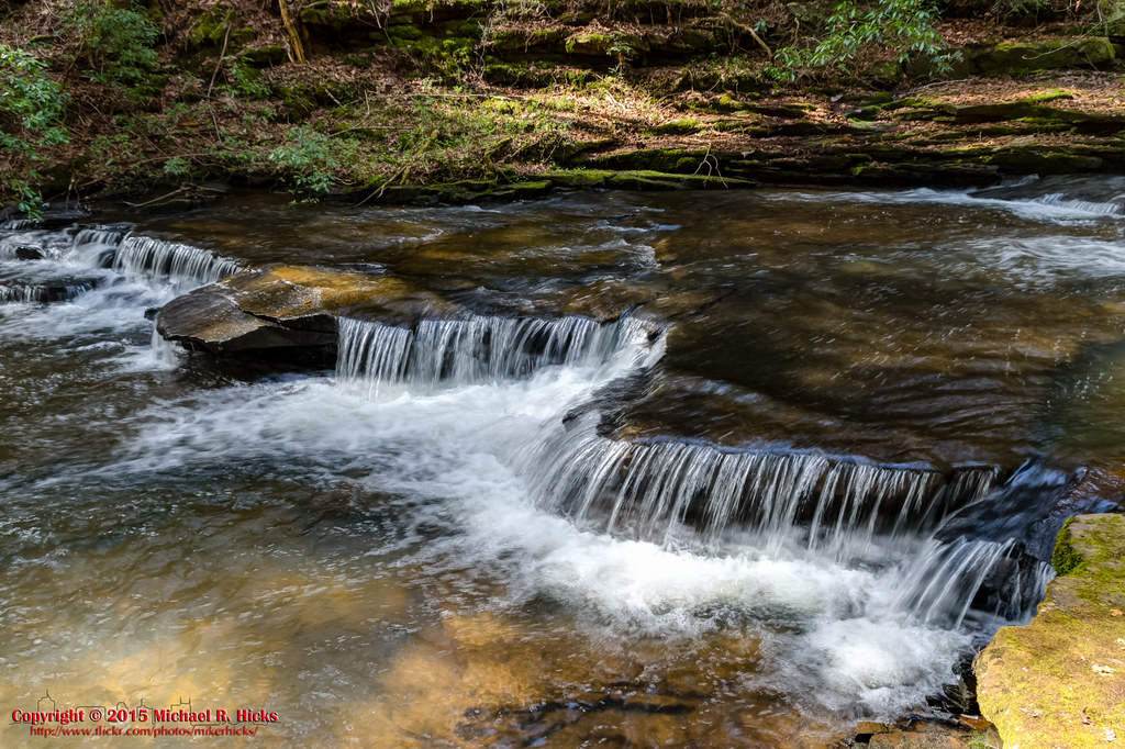
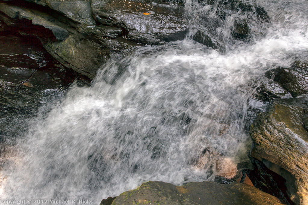
Gizzard Cascade (20')
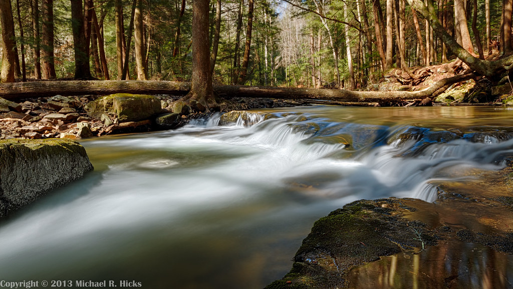
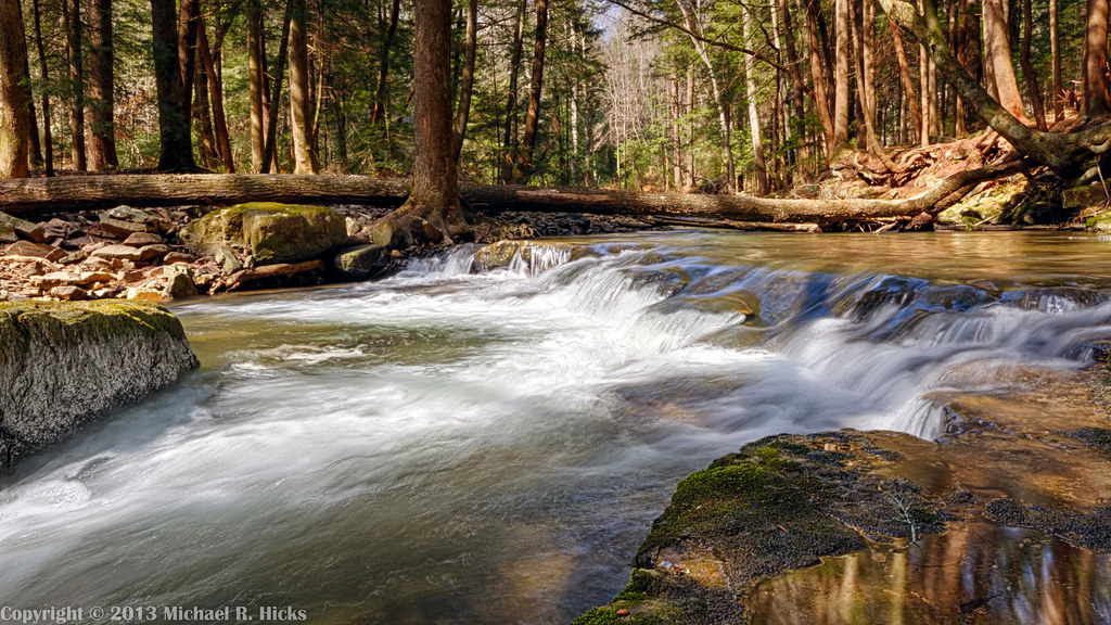
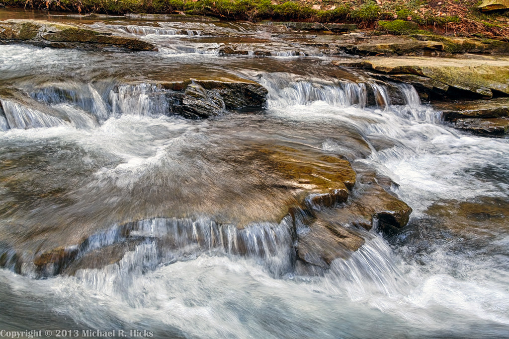
Big Fiery Gizzard Creek
Big Fiery Gizzard Creek - Grundy Forest State Natural Area - Fiery Gizzard Trail - March 16, 2013
South Cumberland State Park - Fiery Gizzard
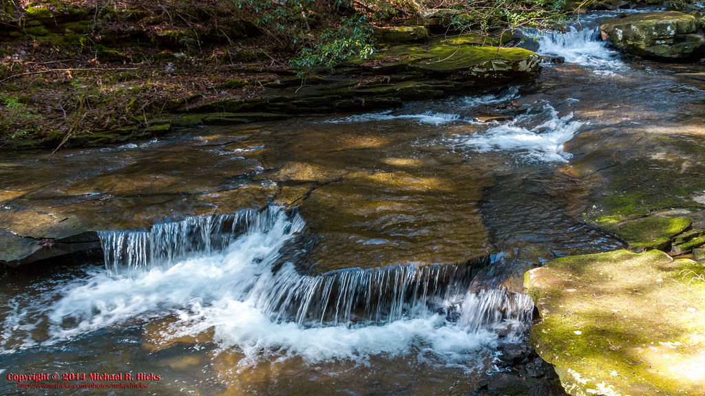
Little Fiery Gizzard Creek - Fiery Gizzard Trail - March 16, 2013

Big Fiery Gizzard Creek - Grundy Forest State Natural Area - Fiery Gizzard Trail - March 16, 2013
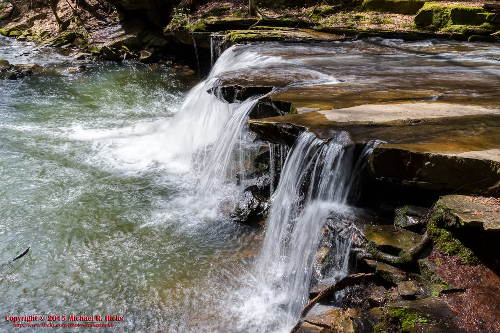
South Cumberland State Park - Fiery Gizzard - Sycamore Falls
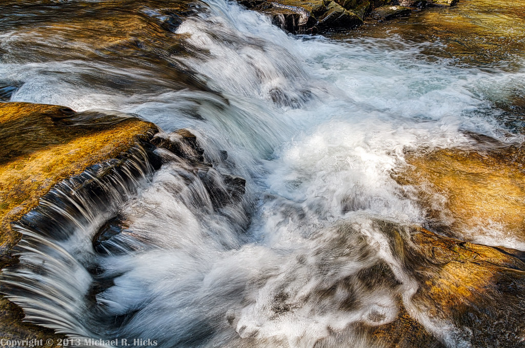
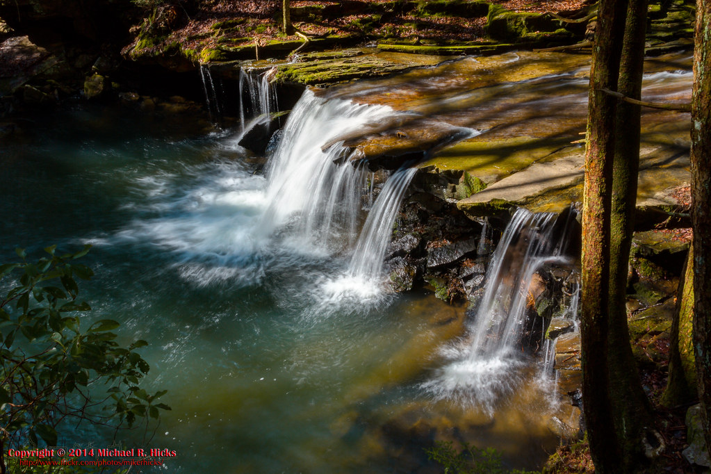
Black Canyon Cascade
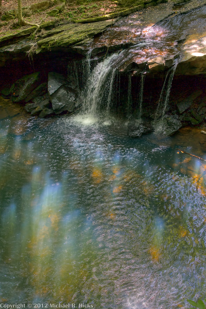
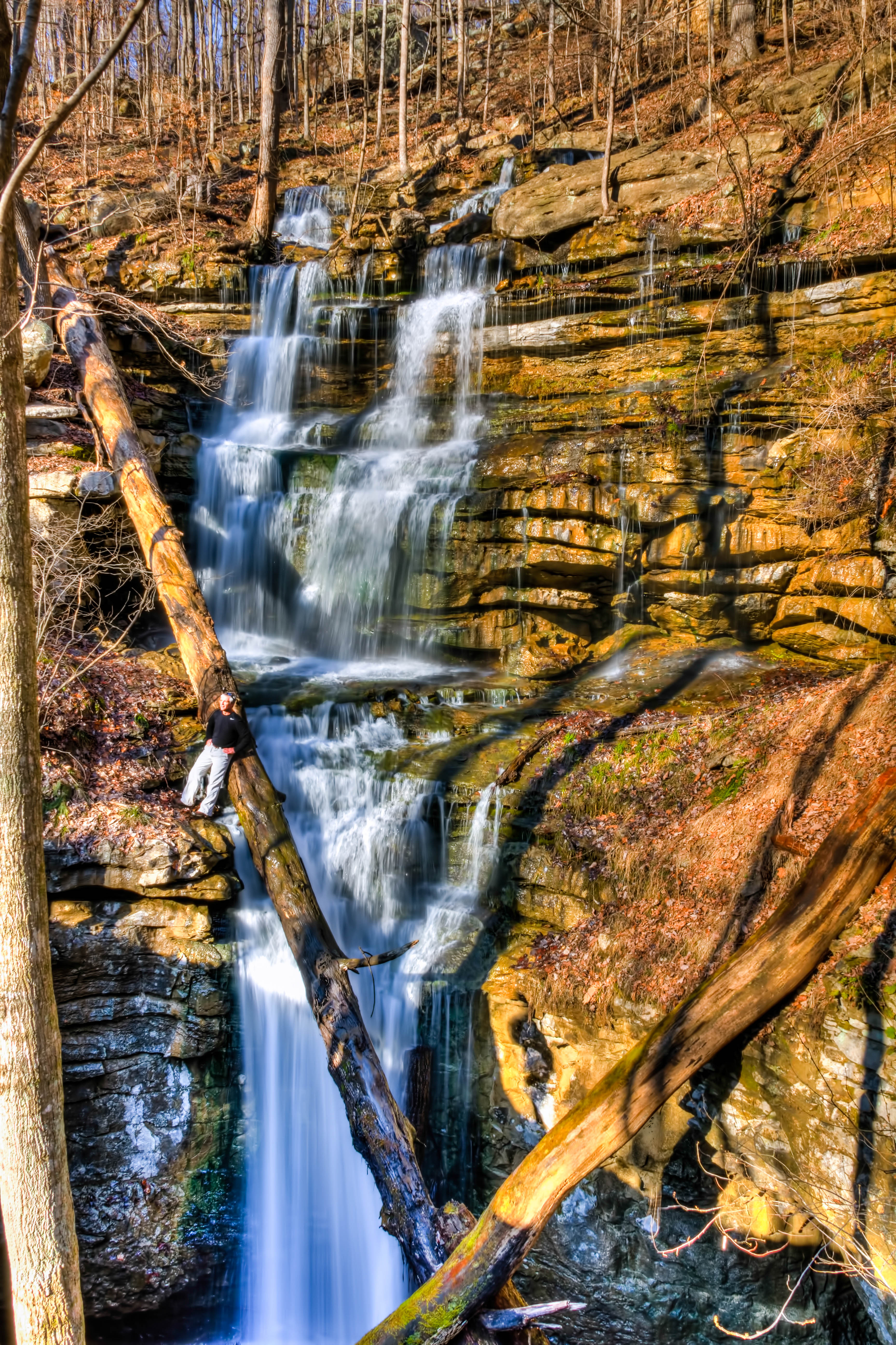
Hanes Hole Falls
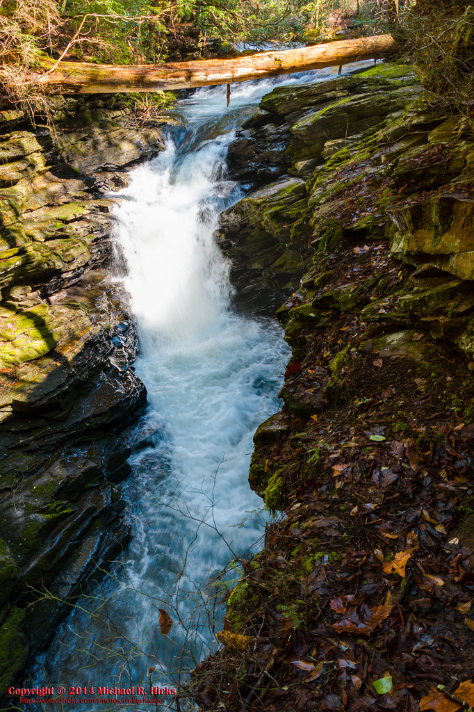
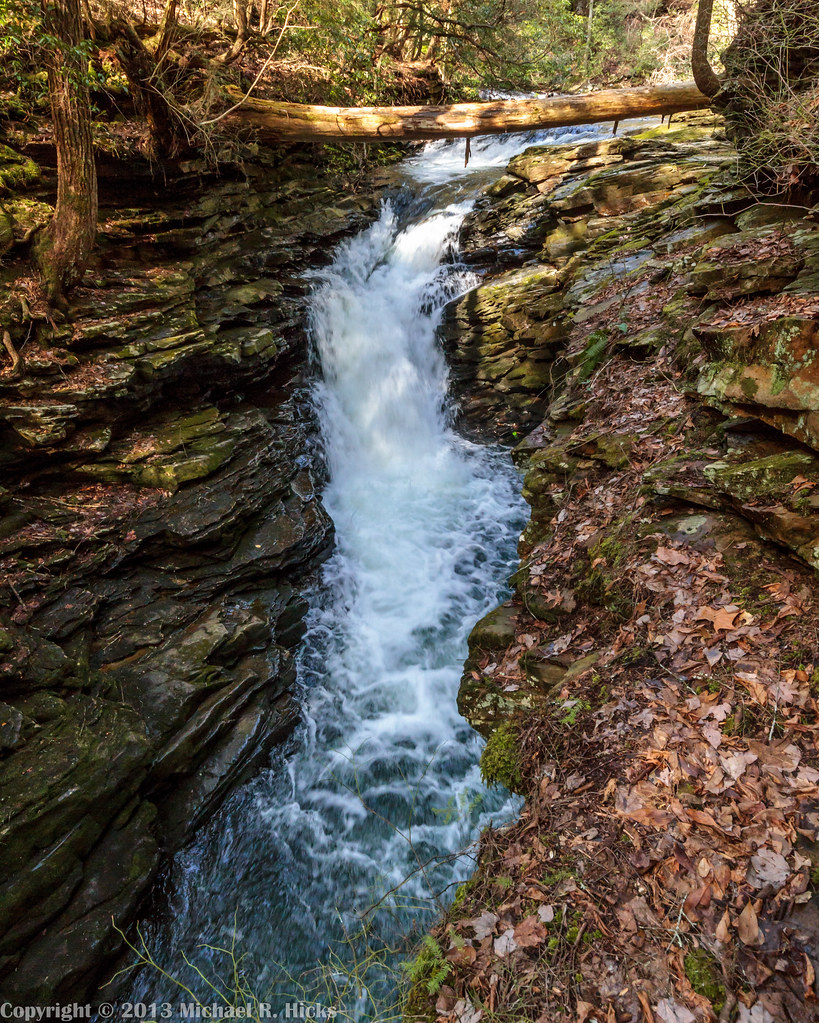
Sewanee Southern Section Perimeter Trail - Bridal Veil Falls
Big Fiery Gizzard Creek - Grundy Forest State Natural Area - Fiery Gizzard Trail - March 16, 2013
Fiery Gizzard- April 12, 2015
Black Canyon Cascade
Hanes Hole Falls
South Cumberland State Park - Fiery Gizzard
Little Fiery Gizzard Creek - Fiery Gizzard Trail - March 16, 2013
Big Fiery Gizzard Creek
Black Canyon Cascade - Grundy Forest State Natural Area - Fiery Gizzard Trail - March 16, 2013

Fiery Gizzard- April 12, 2015
Topographic Map of Pelham, TN, USA
Find elevation by address:

Places in Pelham, TN, USA:
Places near Pelham, TN, USA:
760 Payne Cove Rd
US-41, Pelham, TN, USA
555 Charlie Roberts Rd
91 Rutledge Ford Rd, Hillsboro, TN, USA
Monteagle
David Crockett Highway
Monteagle Chamber Of Commerce
Clifftops Ave, Monteagle, TN, USA
290 Quintard Rd
527 Lautzenheiser Pl
Interstate 24
Overlook Drive
Saint Andrews
The University Of The South
Sewanee
2403 Sarvisberry Pl
209 Carpenter Cir
1844 Ridge Cliff Dr
Bob Stewman Rd, Sewanee, TN, USA
Old Alto Hwy, Decherd, TN, USA
Recent Searches:
- Elevation map of Greenland, Greenland
- Elevation of Sullivan Hill, New York, New York, 10002, USA
- Elevation of Morehead Road, Withrow Downs, Charlotte, Mecklenburg County, North Carolina, 28262, USA
- Elevation of 2800, Morehead Road, Withrow Downs, Charlotte, Mecklenburg County, North Carolina, 28262, USA
- Elevation of Yangbi Yi Autonomous County, Yunnan, China
- Elevation of Pingpo, Yangbi Yi Autonomous County, Yunnan, China
- Elevation of Mount Malong, Pingpo, Yangbi Yi Autonomous County, Yunnan, China
- Elevation map of Yongping County, Yunnan, China
- Elevation of North 8th Street, Palatka, Putnam County, Florida, 32177, USA
- Elevation of 107, Big Apple Road, East Palatka, Putnam County, Florida, 32131, USA
- Elevation of Jiezi, Chongzhou City, Sichuan, China
- Elevation of Chongzhou City, Sichuan, China
- Elevation of Huaiyuan, Chongzhou City, Sichuan, China
- Elevation of Qingxia, Chengdu, Sichuan, China
- Elevation of Corso Fratelli Cairoli, 35, Macerata MC, Italy
- Elevation of Tallevast Rd, Sarasota, FL, USA
- Elevation of 4th St E, Sonoma, CA, USA
- Elevation of Black Hollow Rd, Pennsdale, PA, USA
- Elevation of Oakland Ave, Williamsport, PA, USA
- Elevation of Pedrógão Grande, Portugal