Elevation of Monteagle Chamber of Commerce, 16 Dixie Lee Ave, Monteagle, TN, USA
Location: United States > Tennessee > Marion County > Monteagle >
Longitude: -85.826417
Latitude: 35.2394676
Elevation: 590m / 1936feet
Barometric Pressure: 94KPa
Elevation Map:
Satellite Map:
Related Photos:

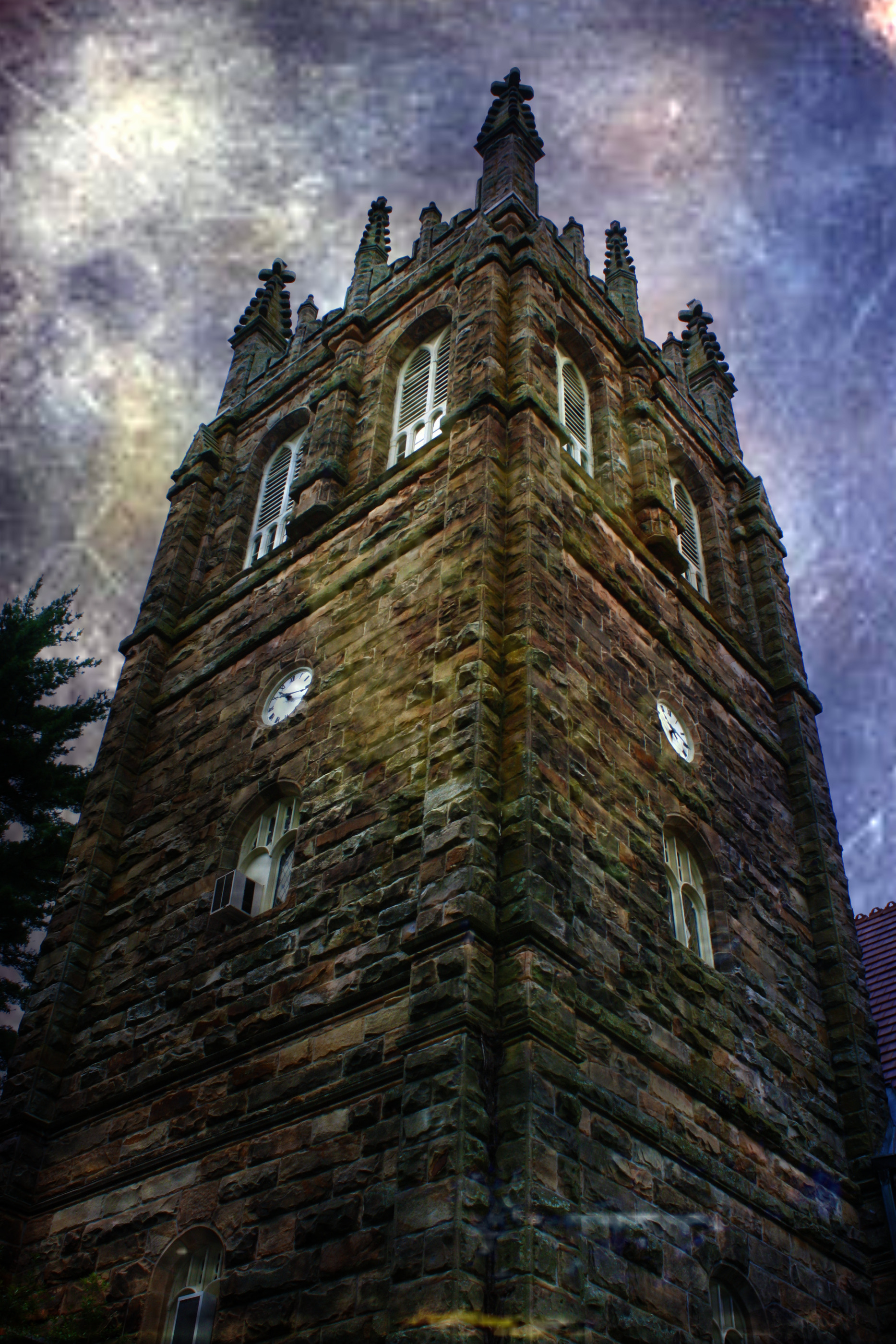
Horror Scene
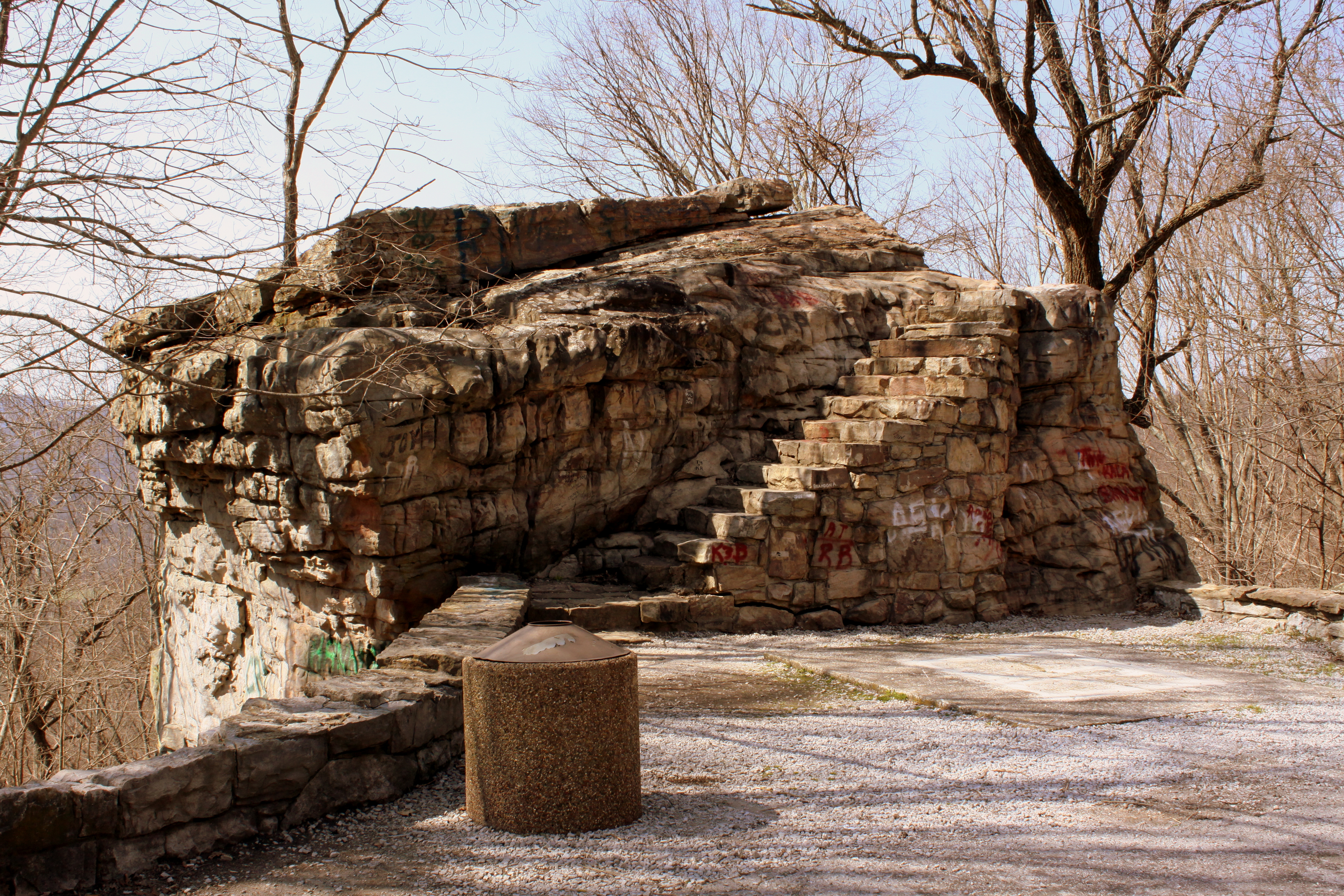
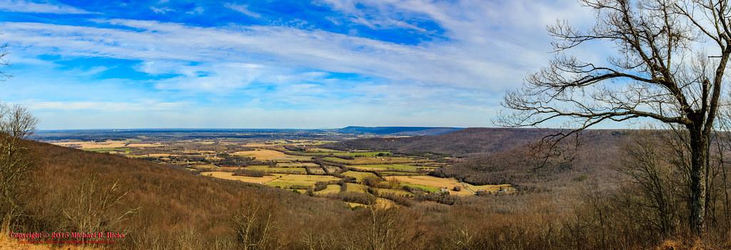
Big Rock & Scenic Overlook - Sewanee, TN
Big Rock & Scenic Overlook - Sewanee, TN
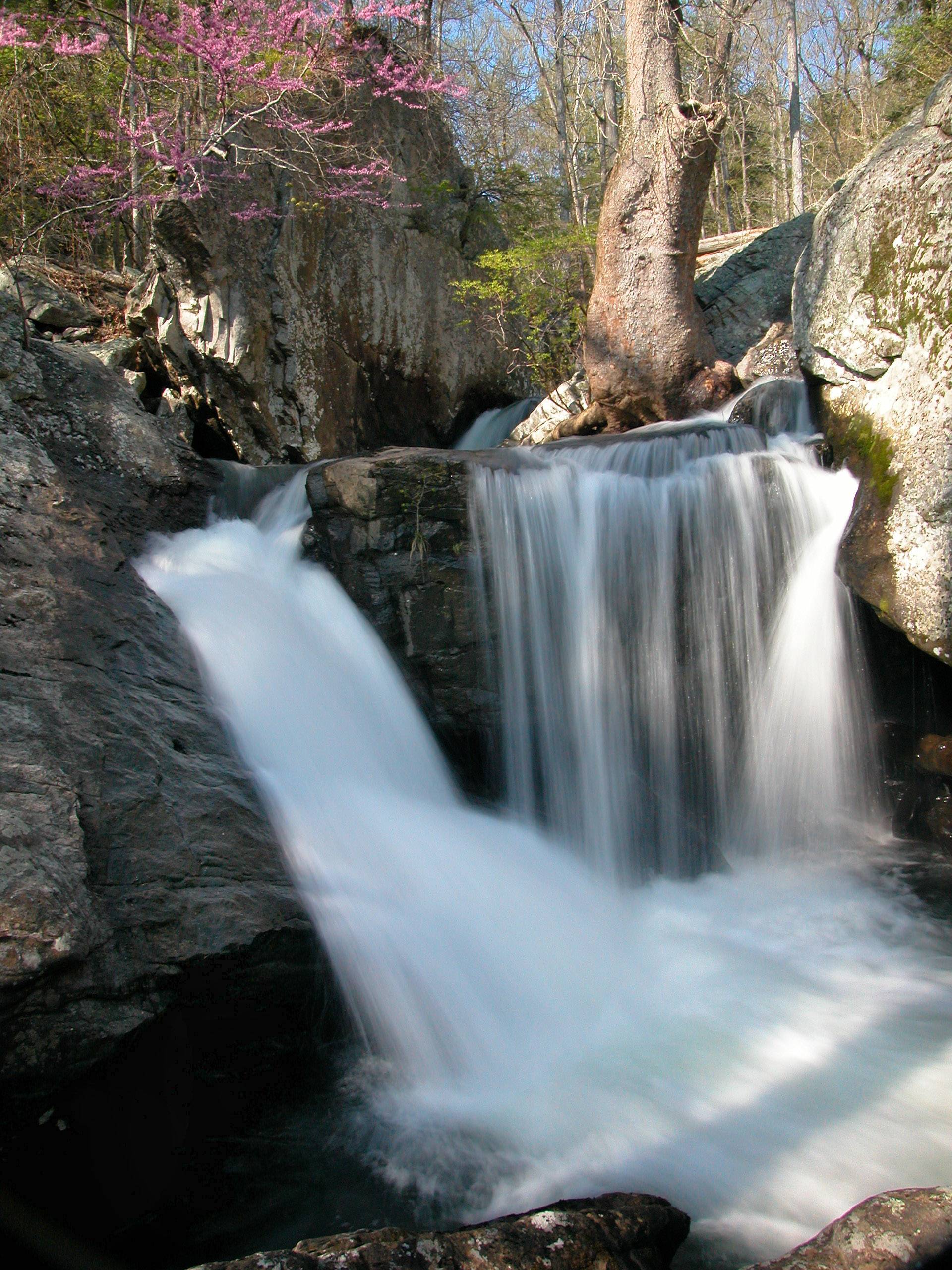
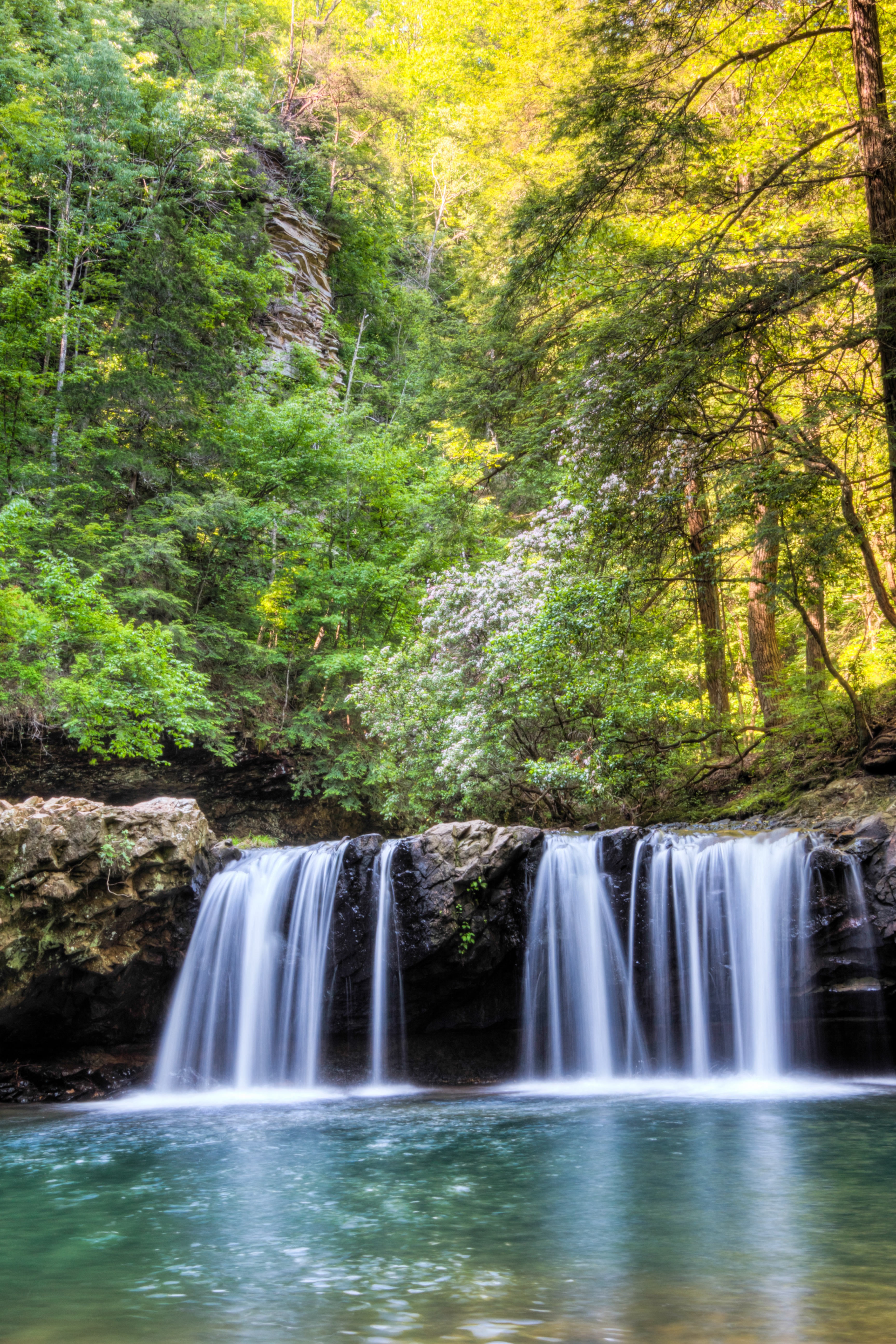
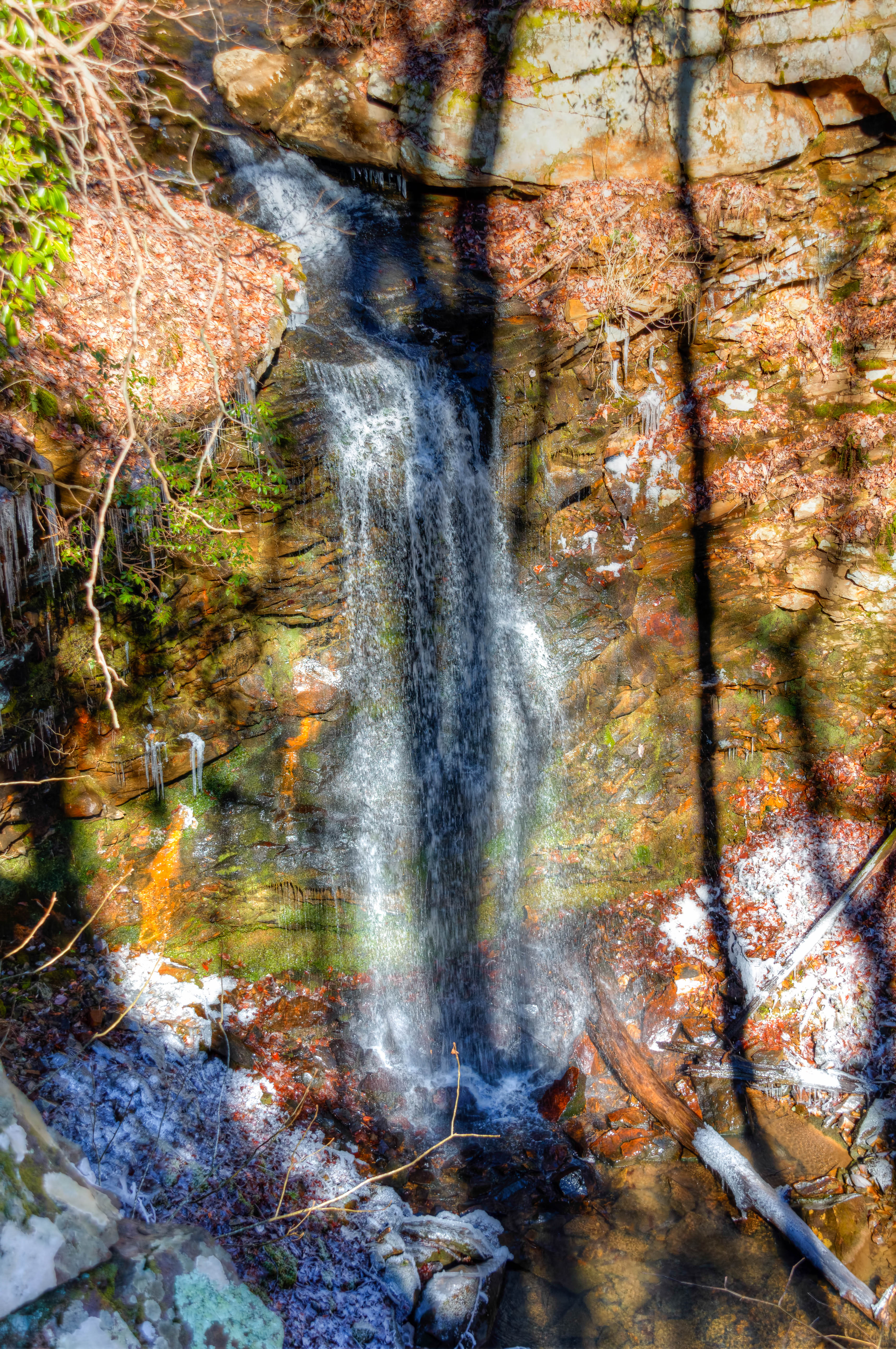
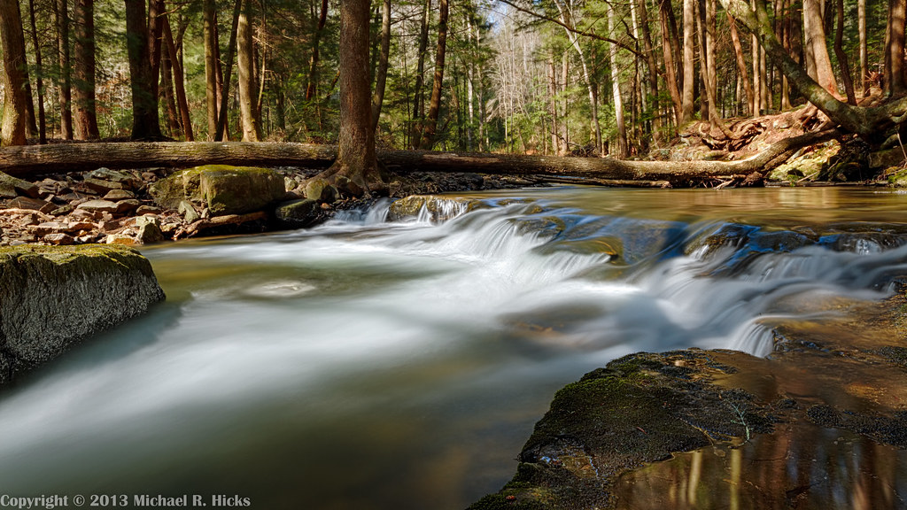
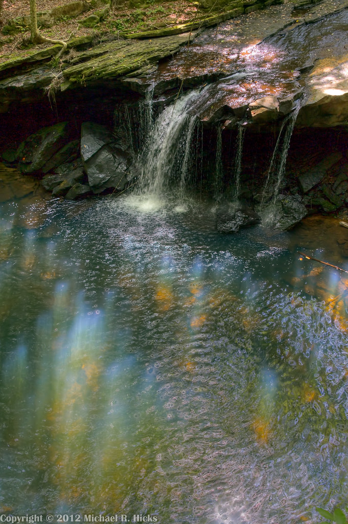
Waterfalls and Redbuds
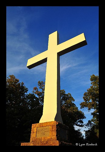
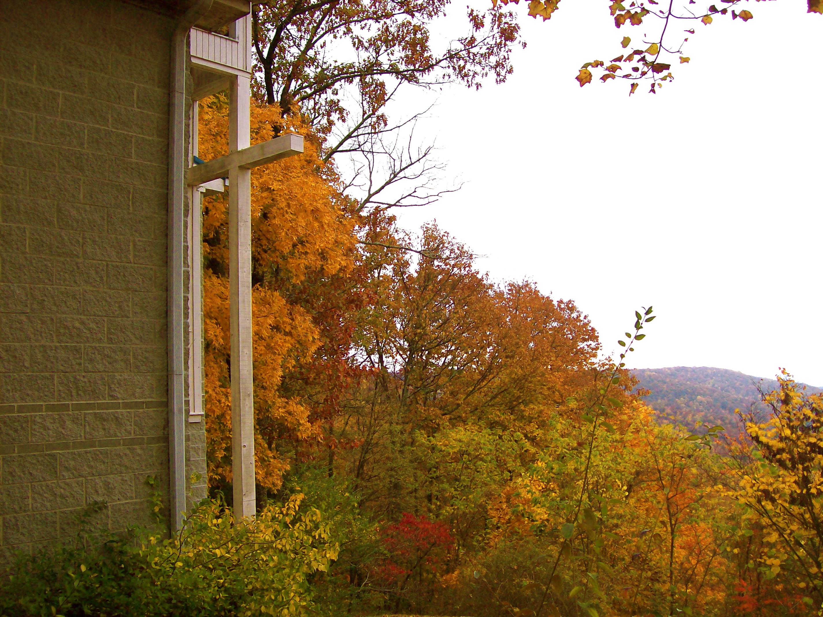
The War Memorial Cross, Sewanee,Tennessee
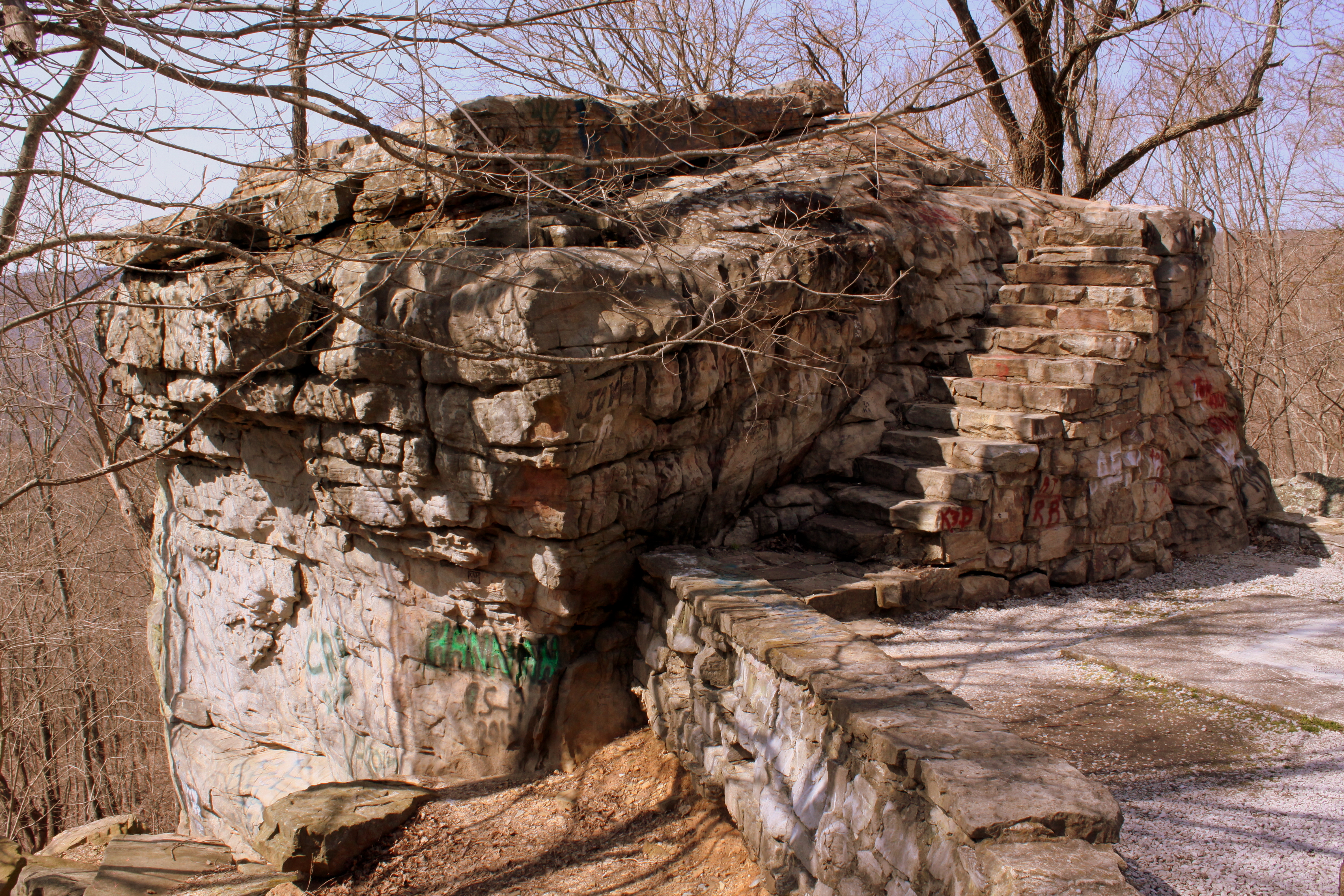
Big Rock & Scenic Overlook - Sewanee, TN

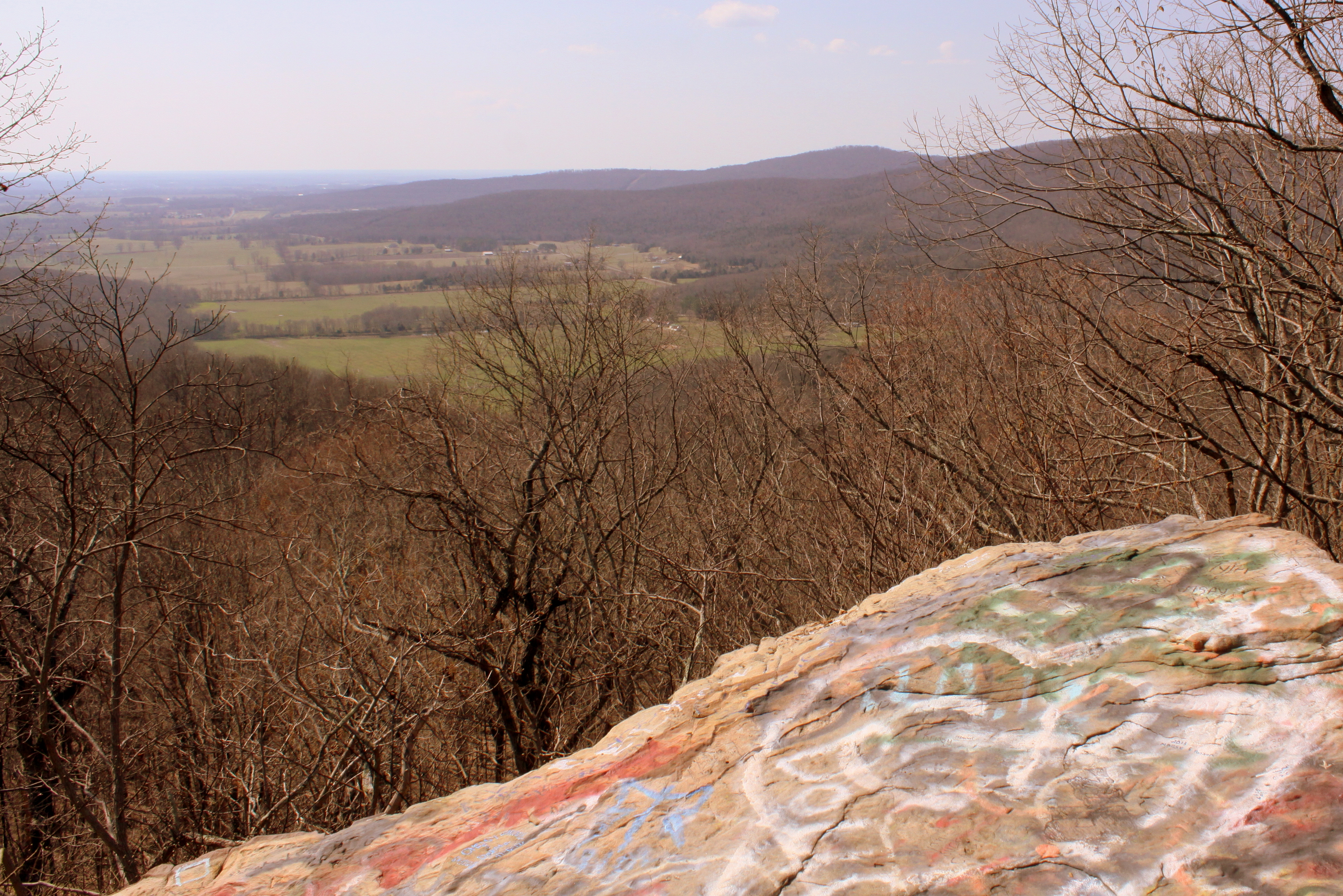
One last view from the mountain.
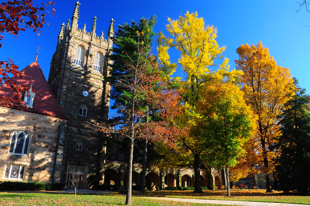
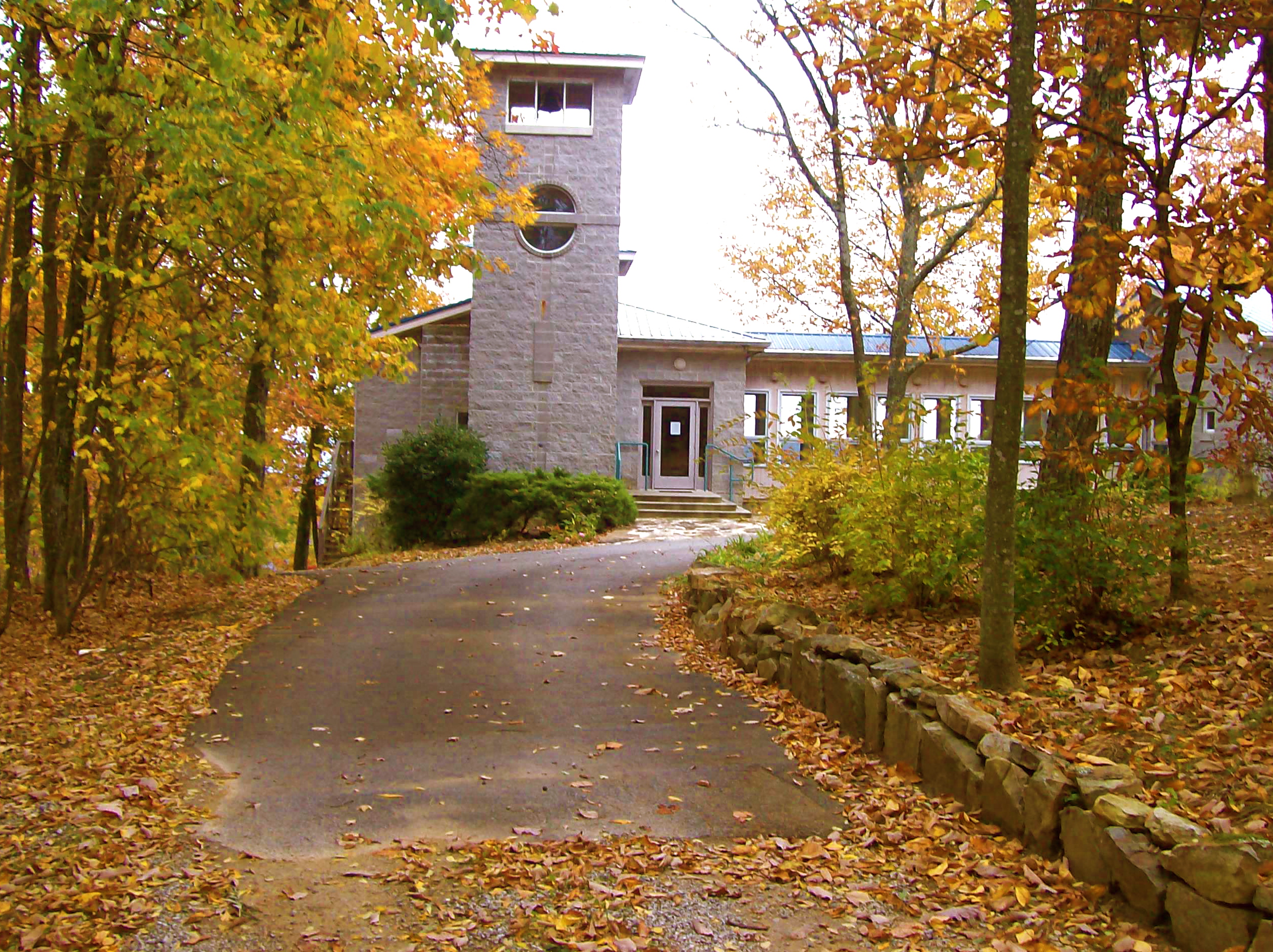
University of the South, Sewanee, TN - h324
Sewanee - February 6, 2016
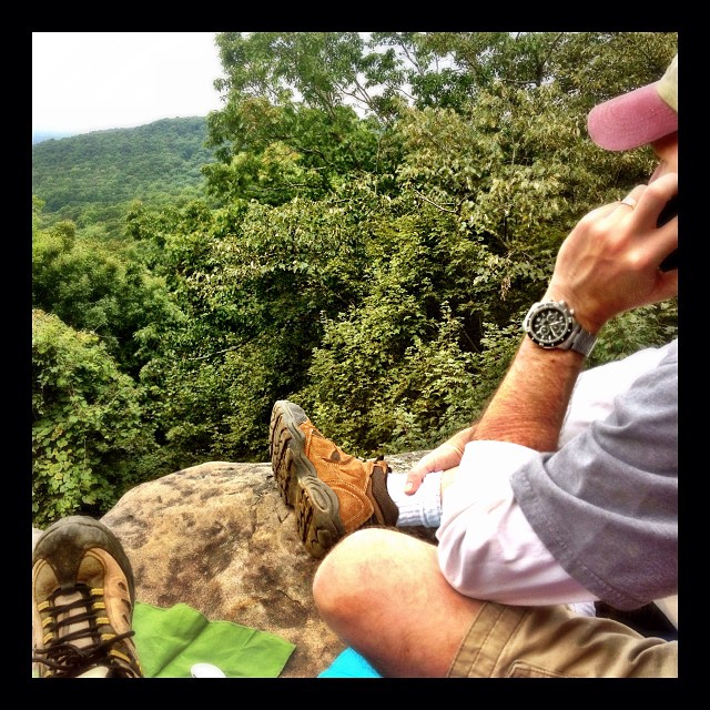
Our picnic spot on Sewanee's campus (The University of the South) during our hike on the Perimeter Trail. We spent a wonderful 4 days, 3 nights in Little Bear Cabin in Monteagle, TN. The views were spectacular, from the cabin and in our many hikes. Planni

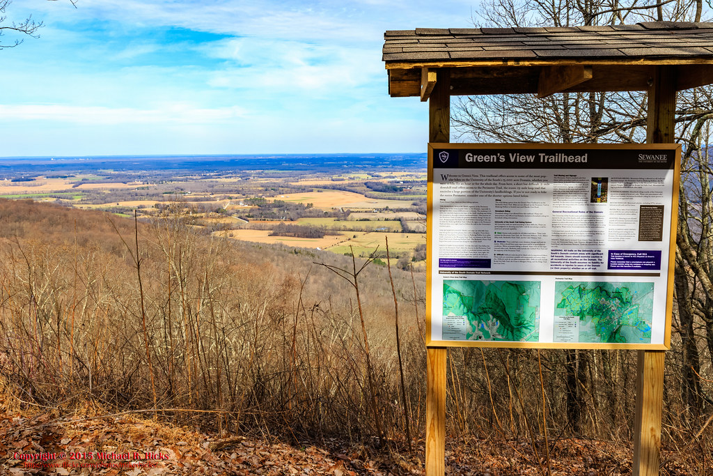
Green's View Road

Brace for Death
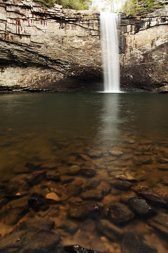
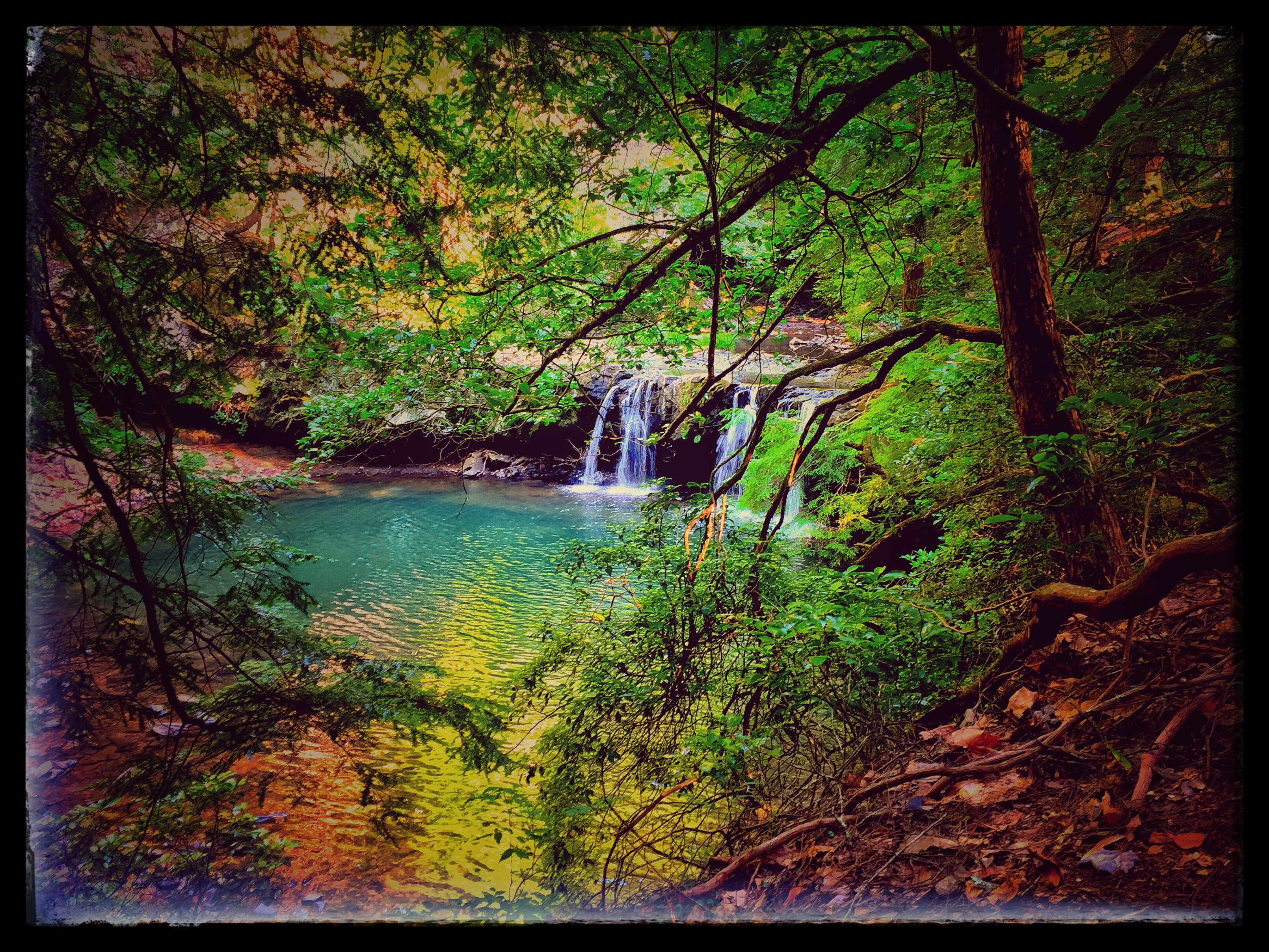
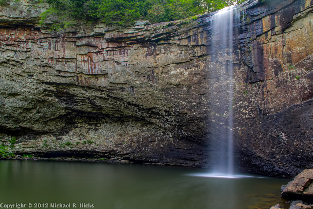
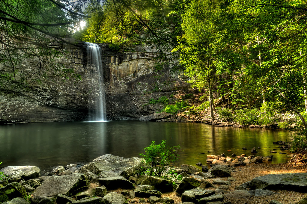
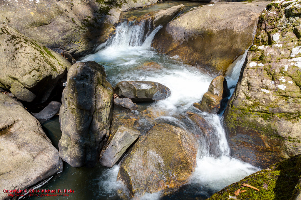
Fosters Falls' Pool
Sewanee - February 6, 2016

Airport Sunset
St. Mary's Convent, Sewanee
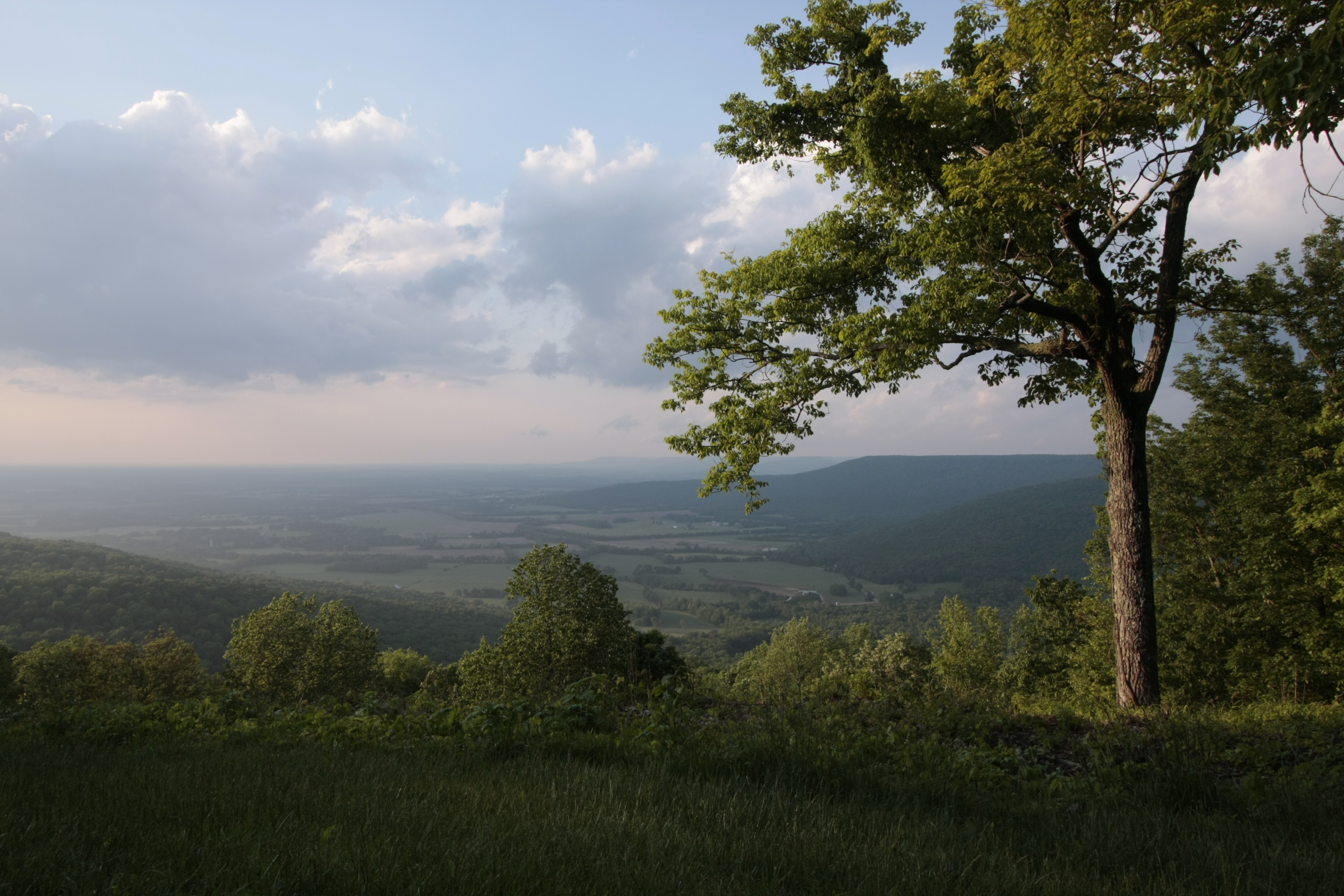
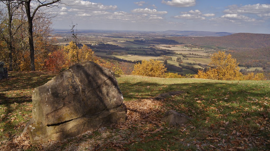
Green's View

Sewanee - February 6, 2016
At The Foot of Breslin
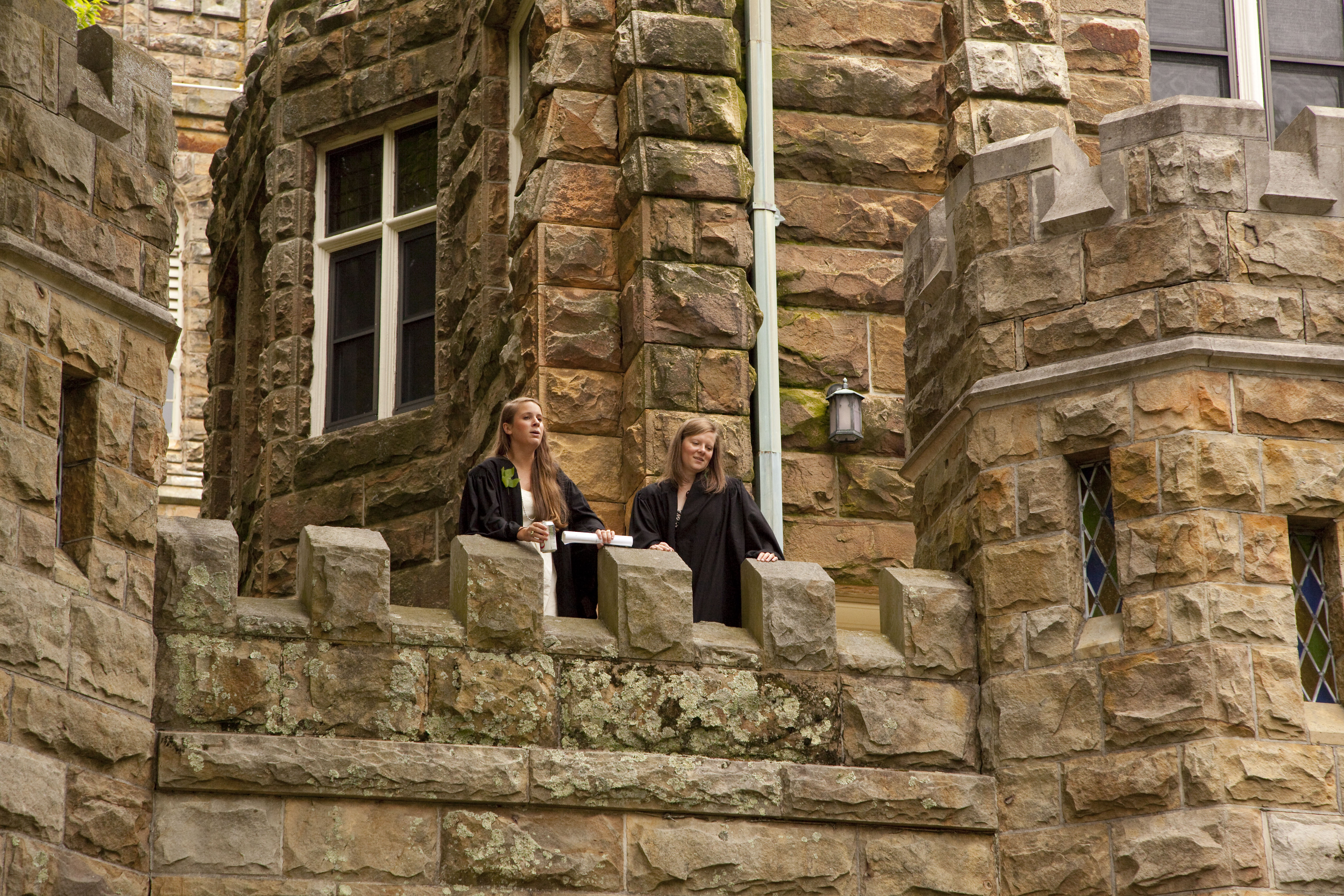
Commencement 2009
St. Mary's Convent
Sycamore Falls, Fiery Gizzard Trail, July 3, 2016.
South Cumberland State Park - Fiery Gizzard - Sycamore Falls

Sycamore Falls - Fiery Gizzard -August 4, 2013
Foster Falls
Franklin-Marion State Forest
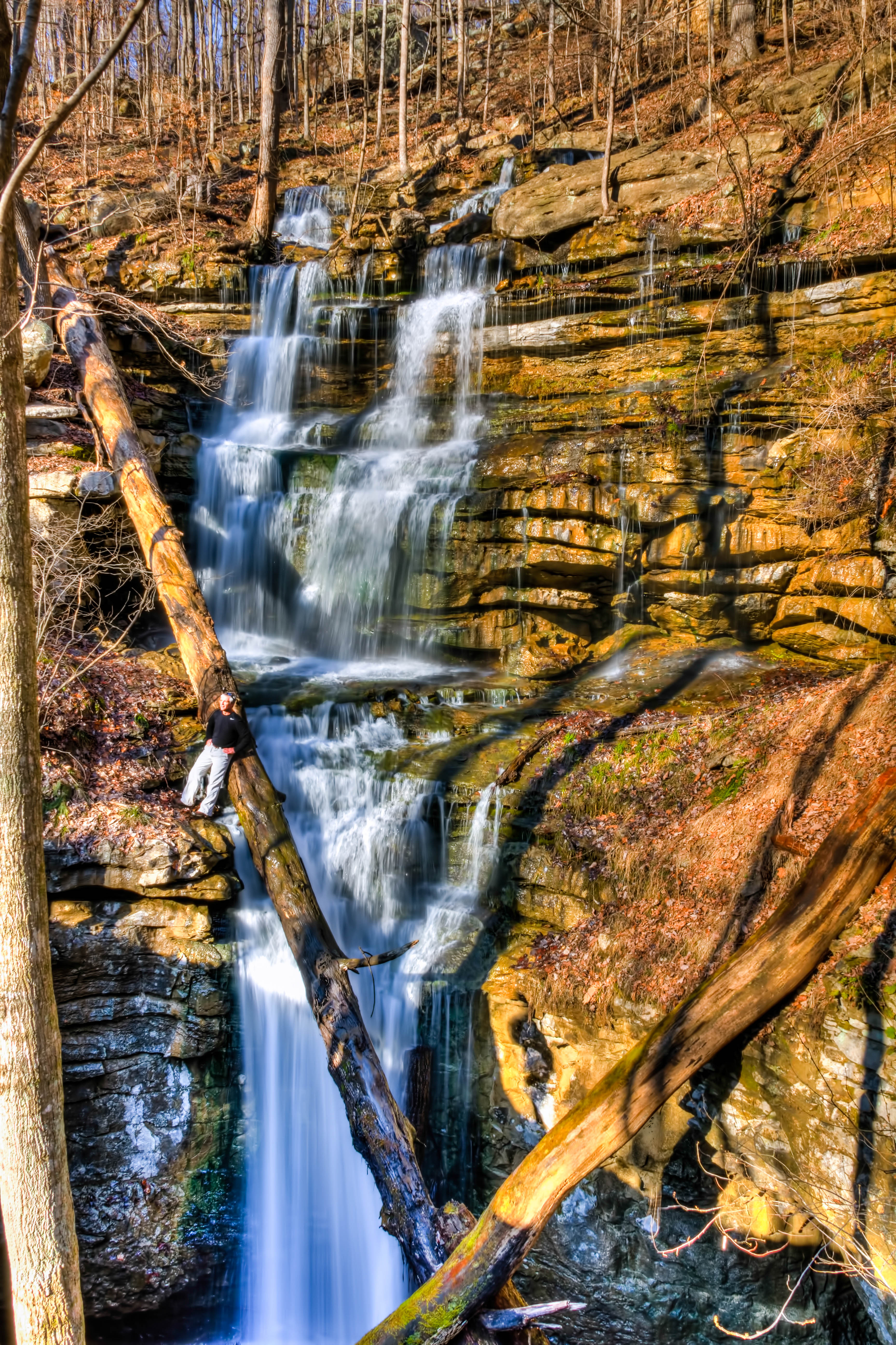
Lost Cove Cascades - May 4, 2014
Franklin-Marion State Forest
Foster Falls

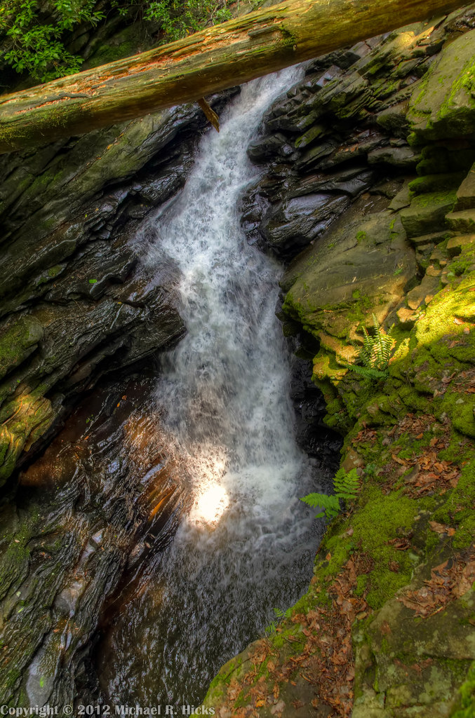
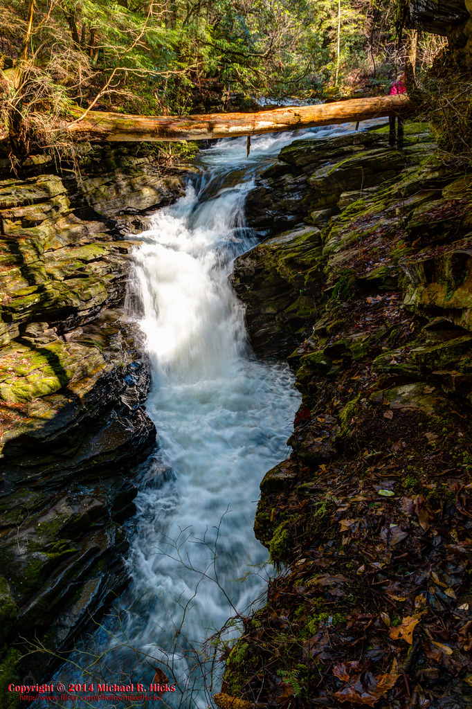
Sewanee Southern Section Perimeter Trail - Bridal Veil Falls
Greens Overlook near Sewanee TN
Sewanee Southern Section Perimeter Trail - Bridal Veil Falls
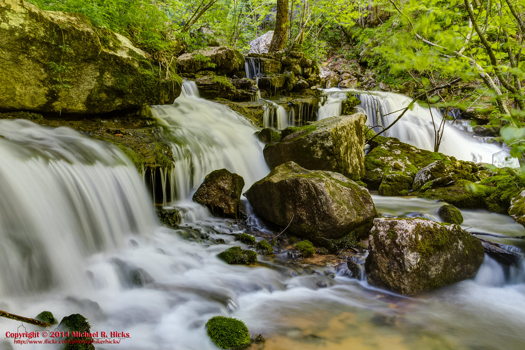
Big Fiery Gizzard Creek - Grundy Forest State Natural Area - Fiery Gizzard Trail - March 16, 2013
Fiery Gizzard
Little Fiery Gizzard Creek - Fiery Gizzard Trail - March 16, 2013
Big Fiery Gizzard Creek

Big Fiery Gizzard Creek - Grundy Forest State Natural Area - Fiery Gizzard Trail - March 16, 2013

Big Fiery Gizzard Creek
South Cumberland State Park - Fiery Gizzard

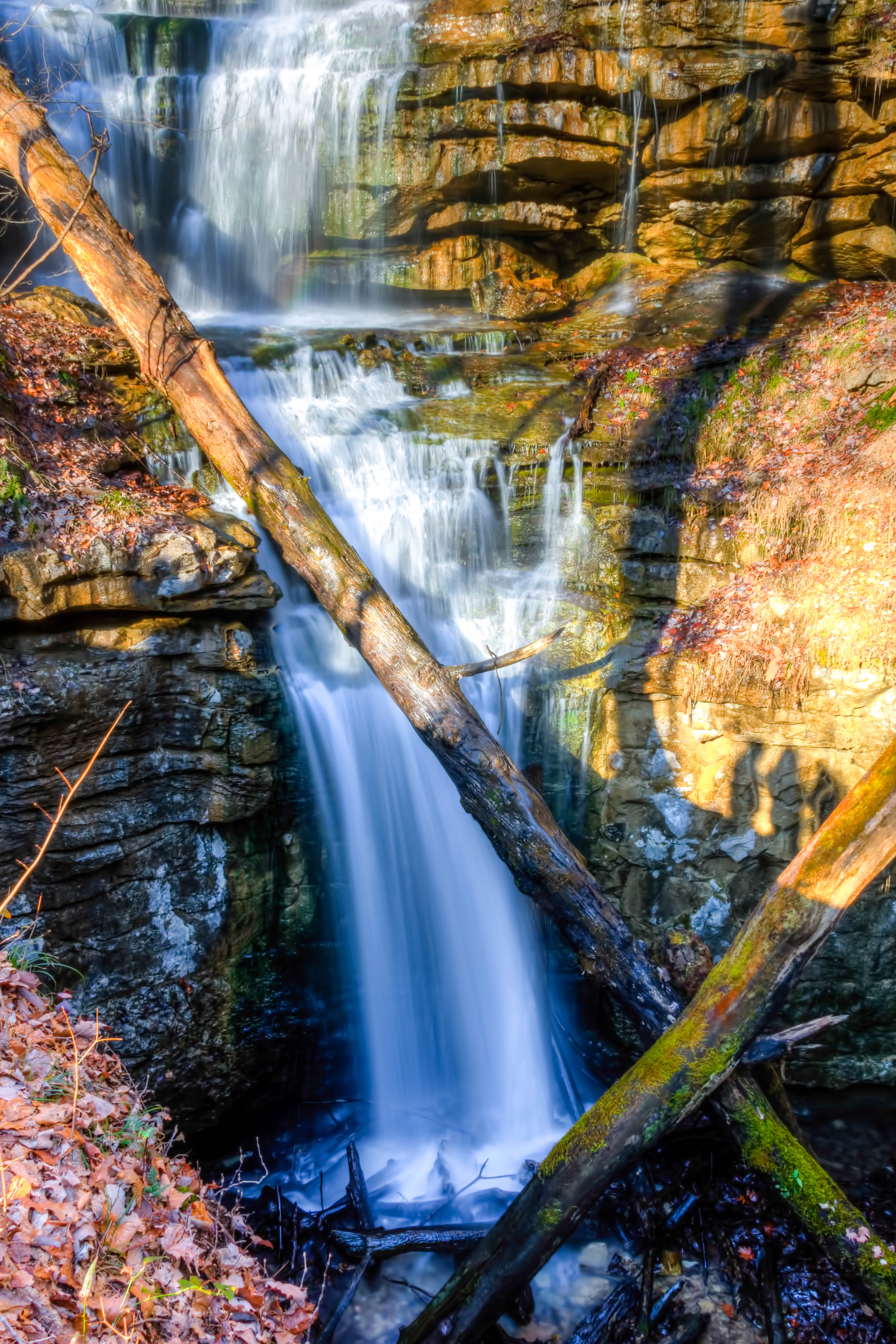
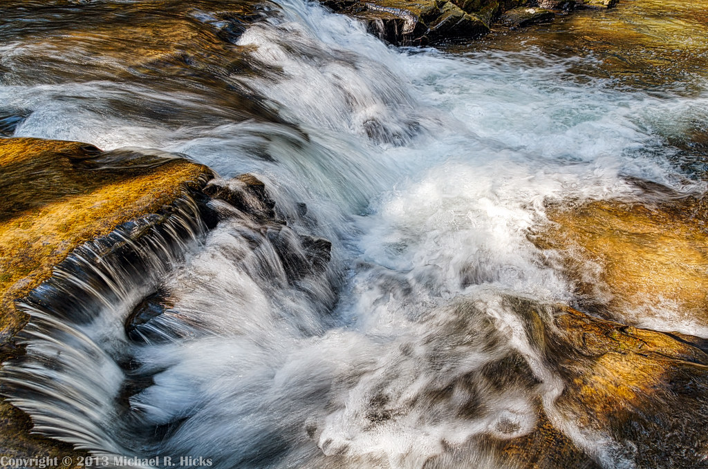
Gizzard Cascade (20')
Sewanee Southern Section Perimeter Trail - Bridal Veil Falls
Black Canyon Cascade
Topographic Map of Monteagle Chamber of Commerce, 16 Dixie Lee Ave, Monteagle, TN, USA
Find elevation by address:

Places near Monteagle Chamber of Commerce, 16 Dixie Lee Ave, Monteagle, TN, USA:
527 Lautzenheiser Pl
Interstate 24
Monteagle
Overlook Drive
Clifftops Ave, Monteagle, TN, USA
1844 Ridge Cliff Dr
US-41, Pelham, TN, USA
David Crockett Highway
2403 Sarvisberry Pl
290 Quintard Rd
Ravens Den Road
Ladds Cove Road
Saint Andrews
760 Payne Cove Rd
Pelham
555 Charlie Roberts Rd
The University Of The South
Sewanee
Bob Stewman Rd, Sewanee, TN, USA
209 Carpenter Cir
Recent Searches:
- Elevation of W Granada St, Tampa, FL, USA
- Elevation of Pykes Down, Ivybridge PL21 0BY, UK
- Elevation of Jalan Senandin, Lutong, Miri, Sarawak, Malaysia
- Elevation of Bilohirs'k
- Elevation of 30 Oak Lawn Dr, Barkhamsted, CT, USA
- Elevation of Luther Road, Luther Rd, Auburn, CA, USA
- Elevation of Unnamed Road, Respublika Severnaya Osetiya — Alaniya, Russia
- Elevation of Verkhny Fiagdon, North Ossetia–Alania Republic, Russia
- Elevation of F. Viola Hiway, San Rafael, Bulacan, Philippines
- Elevation of Herbage Dr, Gulfport, MS, USA