Elevation of Sewanee, TN, USA
Location: United States > Tennessee > Franklin County >

Longitude: -85.921089

Latitude: 35.2031373

Elevation: 588m / 1929feet

Barometric Pressure: 94KPa

Elevation Map:

elevation map of Sewanee, TN, USA
Satellite Map:

Satellite map of Sewanee, TN, USA
Related Photos:

sculpture art college halloween architecture scary education university tennessee gothic goth eerie haunted creepy horror haunting haunt fright frightening frightful spook gothicarchitecture collegecampus sewanee universityofthesouth thedomain monteaglemountain
Horror Scene
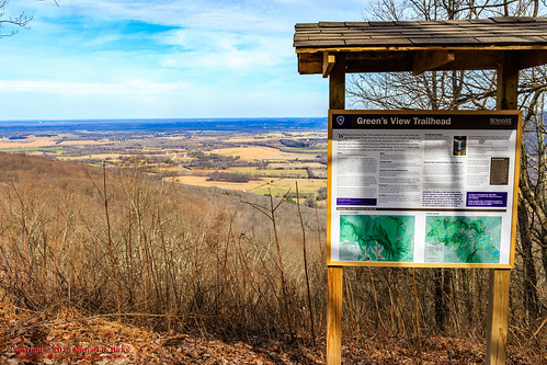
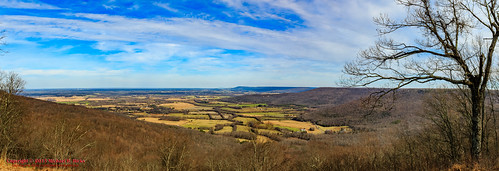
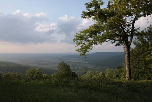
winter usa nature geotagged outdoors photography unitedstates hiking tennessee hdr sewanee greensview geo:country=unitedstates camera:make=canon exif:make=canon geo:state=tennessee exif:lens=1750mm exif:aperture=ƒ10 exif:isospeed=200 exif:focallength=23mm canoneos7dmkii camera:model=canoneos7dmarkii exif:model=canoneos7dmarkii geo:city=sewanee geo:location=sewanee geo:lat=3521755333 geo:lon=8591818333 geo:lon=85918055 geo:lat=352175
Sewanee - February 6, 2016
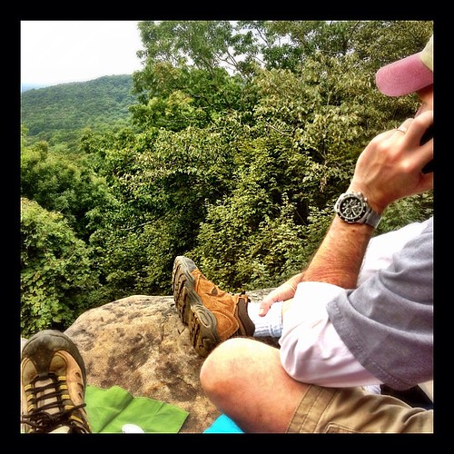
square squareformat iphoneography instagramapp uploaded:by=instagram foursquare:venue=4b4ad146f964a520a88e26e3
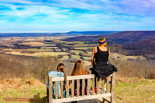
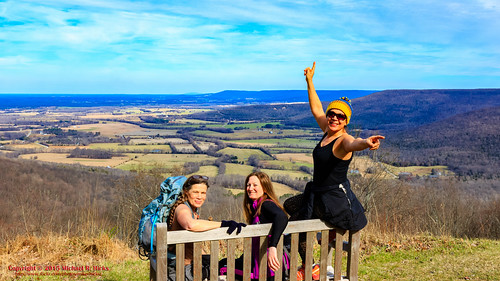
Our picnic spot on Sewanee's campus (The University of the South) during our hike on the Perimeter Trail. We spent a wonderful 4 days, 3 nights in Little Bear Cabin in Monteagle, TN. The views were spectacular, from the cabin and in our many hikes. Planni
tn tennessee boulder cumberlandplateau turnout sewanee universityofthesouth scenicoverlook dixiehighway us41 picnicarea franklincounty us64 roadgeek pulloff us41a roadfan tn15 bmok
Big Rock & Scenic Overlook - Sewanee, TN
Green's View Road
winter panorama usa nature geotagged outdoors photography unitedstates hiking tennessee hdr sewanee greensview geo:country=unitedstates camera:make=canon exif:make=canon geo:state=tennessee exif:lens=1750mm exif:aperture=ƒ11 exif:isospeed=160 exif:focallength=23mm canoneos7dmkii camera:model=canoneos7dmarkii exif:model=canoneos7dmarkii geo:city=sewanee geo:location=sewanee geo:lat=3521762500 geo:lon=8591804667 geo:lon=85918055 geo:lat=352175
Sewanee - February 6, 2016
winter usa nature geotagged outdoors photography unitedstates hiking tennessee hdr sewanee greensview geo:country=unitedstates camera:make=canon exif:make=canon geo:state=tennessee exif:lens=1750mm exif:aperture=ƒ11 exif:isospeed=160 exif:focallength=23mm canoneos7dmkii camera:model=canoneos7dmarkii exif:model=canoneos7dmarkii geo:city=sewanee geo:location=sewanee geo:lat=3521756000 geo:lon=8591847833 geo:lon=85918611666667 geo:lat=352175
Sewanee - February 6, 2016
halloween cemetery grave graveyard statue dead death scary tennessee eerie graves creepy spooky funeral horror corpse statuary somber fright frightening cadaver frightful sewanee universityofthesouth buriel
Brace for Death
sunset sky orange flora
Airport Sunset
winter usa nature geotagged outdoors photography unitedstates hiking tennessee hdr sewanee greensview geo:country=unitedstates camera:make=canon exif:make=canon geo:state=tennessee exif:lens=1750mm exif:aperture=ƒ10 exif:isospeed=200 exif:focallength=23mm canoneos7dmkii camera:model=canoneos7dmarkii exif:model=canoneos7dmarkii geo:city=sewanee geo:location=sewanee geo:lat=3521748833 geo:lon=8591846333 geo:lon=85918333333333 geo:lat=352175
Sewanee - February 6, 2016
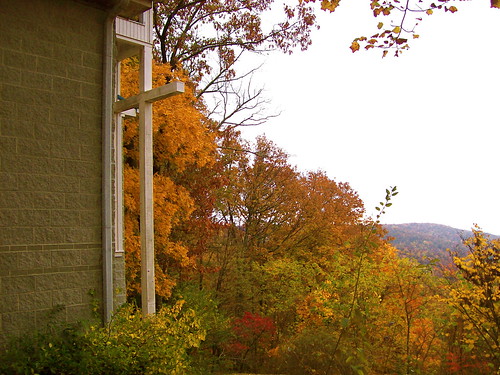
travel history giant memorial cross tennessee tenn southern trail majestic bluff cumberlandplateau perimeter sewanee theuniversityofthesouth franklincounty bigcross warmemorialcross nikond700 lynnroebuckphotography
The War Memorial Cross, Sewanee,Tennessee
old church downtown memphis tennessee historic midtown convent anglican episcopal protestant cumberlandplateau medicalcenter youngadults downtownmemphis midtownmemphis winchesterpark
St. Mary's Convent, Sewanee
tennessee sewanee universityofthesouth
Green's View
art college architecture campus university tennessee gothic goth gothicarchitecture sewanee universityofthesouth gothictower thedomain breslintower monteaglemountain cellegiategothic
At The Foot of Breslin
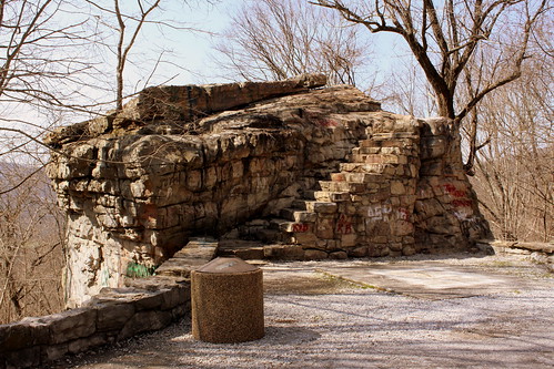
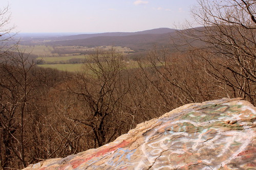
graffiti tn tennessee boulder cumberlandplateau turnout sewanee universityofthesouth scenicoverlook dixiehighway us41 picnicarea franklincounty us64 pulloff us41a tn15 bmok bmok2
Big Rock & Scenic Overlook - Sewanee, TN
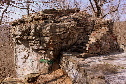
tn tennessee boulder cumberlandplateau turnout sewanee universityofthesouth scenicoverlook dixiehighway us41 picnicarea franklincounty us64 pulloff us41a tn15 bmok bmok2
Big Rock & Scenic Overlook - Sewanee, TN
students tennessee commencement liberalarts sewanee universityofthesouth
Commencement 2009
tennessee convent anglican episcopal cumberlandplateau
St. Mary's Convent
episcopal anglican tennessee cumberlandplateau convent midtownmemphis downtownmemphis memphis downtown midtown medicalcenter winchesterpark church protestant historic old youngadults
St. Mary's Convent
art college architecture campus university cathedral tennessee gothic goth chapel stainedglass sewanee universityofthesouth gothictower allsaintschapel thedomain monteaglemountain cellegiategothic
Gothic Sky
new hat handknit 365 etsy day3 multicolored project365 3365 woolhat warmhat handmadehat 010310 eangteam noticings 365community lovinglyhandmade 3652010 365the2010edition 2010yip project36612010 thethingswesee project365030110 project36503jan10 noticings:id=4243982093 woolandsoysilkyarn
Noticings - My Newest Handknitted Hat, View from Above
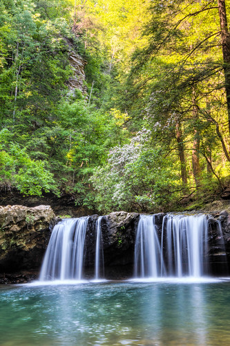
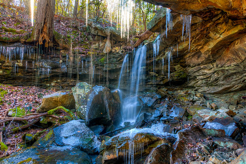
usa geotagged waterfall unitedstates tennessee waterfalls sewanee tantallon tennesseestateparks franklinmarionstateforest geo:lat=3510940372 geo:lon=8586320847
Franklin-Marion State Forest
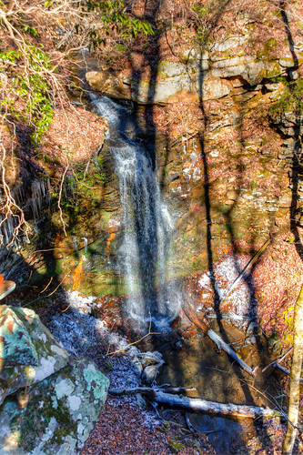
usa landscape geotagged spring unitedstates hiking tennessee waterfalls hdr sewanee tantallon photomatix tennesseestateparks southcumberlandstatepark canon7d mrandmrsharryleecarternaturalarea sigma18250mmf3563dcmacrooshsm lostcovecascades geo:lat=3511935843 geo:lon=8591021402 geo:lat=3511935347 geo:lon=8591037084
Lost Cove Cascades - May 4, 2014
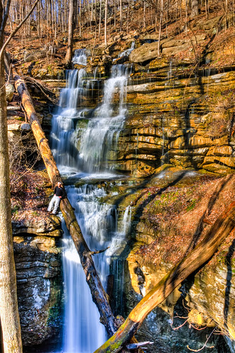
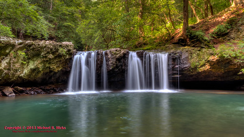
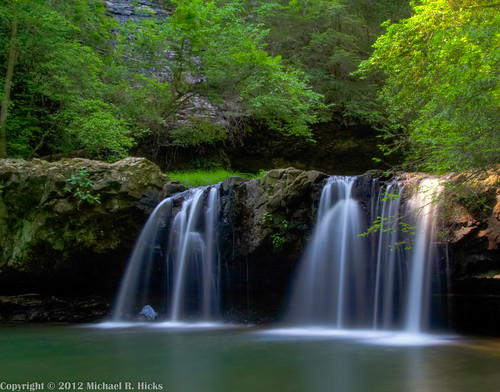
usa geotagged waterfall unitedstates tennessee waterfalls sewanee geo:lon=8594297333 geo:lat=3520229167
Sewanee Southern Section Perimeter Trail - Bridal Veil Falls
usa landscape geotagged unitedstates hiking tennessee waterfalls tennesseestateparks fierygizzard southcumberlandstatepark tracycity grundyforeststatenaturalarea canon7d lankfordtown gizzardcascade sigma18250mmf3563dcmacrooshsm fierygizzardstatenaturalarea geo:lat=3523172186 geo:lon=8574966556
Gizzard Cascade (20')
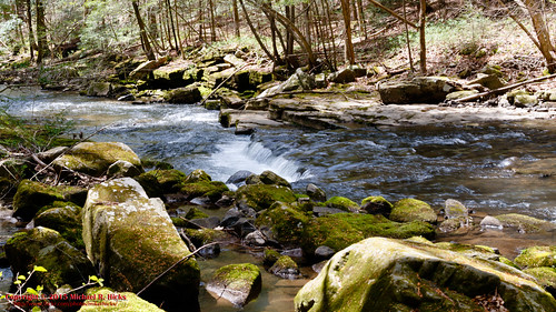
usa geotagged spring unitedstates hiking tennessee hdr photomatix tennesseestateparks fierygizzard southcumberlandstatepark tracycity grundyforeststatenaturalarea canon7d lankfordtown bigfierygizzardcreek sigma18250mmf3563dcmacrooshsm fierygizzardstatenaturalarea geo:lat=3523871200 geo:lon=8575505357
Big Fiery Gizzard Creek
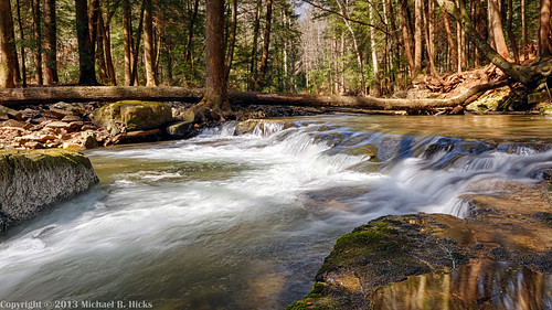
usa geotagged unitedstates tennessee hdr tennesseestateparks fierygizzard southcumberlandstatepark tracycity camera:make=canon exif:make=canon exif:isospeed=100 grundyforeststatenaturalarea canon7d geo:state=tennessee exif:focallength=16mm geo:countrys=unitedstates camera:model=canoneos7d exif:model=canoneos7d exif:lens=1020mm exif:aperture=ƒ16 lankfordtown bigfierygizzardcreek geo:city=tracycity geo:lat=3524457667 geo:lon=8575395500 geo:lon=85753955 geo:lat=35244576666667
Big Fiery Gizzard Creek - Grundy Forest State Natural Area - Fiery Gizzard Trail - March 16, 2013
usa geotagged unitedstates tennessee hdr tennesseestateparks fierygizzard southcumberlandstatepark tracycity camera:make=canon exif:make=canon exif:isospeed=100 grundyforeststatenaturalarea canon7d geo:state=tennessee exif:focallength=16mm geo:countrys=unitedstates camera:model=canoneos7d exif:model=canoneos7d exif:lens=1020mm exif:aperture=ƒ56 lankfordtown bigfierygizzardcreek geo:city=tracycity geo:lat=3524458833 geo:lon=8575396333 geo:lat=35244588333333 geo:lon=85753963333333
Big Fiery Gizzard Creek - Grundy Forest State Natural Area - Fiery Gizzard Trail - March 16, 2013
usa geotagged unitedstates tennessee tennesseestateparks fierygizzard southcumberlandstatepark tracycity grundyforeststatenaturalarea lankfordtown geo:lat=3524643487 geo:lon=8575484125
South Cumberland State Park - Fiery Gizzard - Sycamore Falls
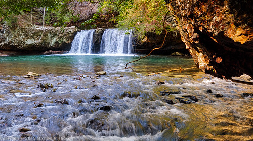
usa geotagged waterfall unitedstates tennessee waterfalls sewanee geo:lat=3520217000 geo:lon=8594294833
Sewanee Southern Section Perimeter Trail - Bridal Veil Falls
usa geotagged unitedstates tennessee hdr tennesseestateparks fierygizzard southcumberlandstatepark tracycity camera:make=canon exif:make=canon exif:isospeed=100 grundyforeststatenaturalarea canon7d geo:state=tennessee exif:focallength=16mm geo:countrys=unitedstates camera:model=canoneos7d exif:model=canoneos7d exif:lens=1020mm exif:aperture=ƒ29 lankfordtown bigfierygizzardcreek geo:city=tracycity geo:lat=3524455667 geo:lon=8575424500 geo:lat=35244556666667 geo:lon=85754245
Big Fiery Gizzard Creek - Grundy Forest State Natural Area - Fiery Gizzard Trail - March 16, 2013
usa landscape geotagged spring unitedstates hiking tennessee tennesseestateparks fierygizzard southcumberlandstatepark tracycity grundyforeststatenaturalarea lankfordtown bigfierygizzardcreek sigma18250mmf3563dcmacrooshsm fierygizzardstatenaturalarea canoneos7dmkii geo:lat=3523390333 geo:lon=8574882500
Fiery Gizzard- April 12, 2015
geotagged unitedstates hiking tennessee tennesseestateparks fierygizzard southcumberlandstatepark tracycity camera:make=canon exif:make=canon exif:isospeed=100 exif:focallength=18mm grundyforeststatenaturalarea canon7d geo:state=tennessee nashvillehikingmeetup geo:countrys=unitedstates camera:model=canoneos7d exif:model=canoneos7d exif:lens=18200mm exif:aperture=ƒ22 lankfordtown bigfierygizzardcreek geo:city=tracycity geo:lat=3522237950 geo:lon=8574670800 geo:lat=3522238 geo:lon=85746708333333
Big Fiery Gizzard Creek - Fiery Gizzard Trail - March 16, 2013
summer landscape geotagged waterfall unitedstates hiking tennessee waterfalls tennesseestateparks fierygizzard southcumberlandstatepark tracycity grundyforeststatenaturalarea canon7d nashvillehikingmeetup sycamorefalls lankfordtown sigma18250mmf3563dcmacrooshsm geo:lat=3524606877 geo:lon=8575522122
Sycamore Falls - Fiery Gizzard -August 4, 2013
usa geotagged unitedstates tennessee sewanee tantallon tennesseestateparks franklinmarionstateforest geo:lat=3510942410 geo:lon=8586319942
Franklin-Marion State Forest
usa geotagged waterfall unitedstates hiking tennessee waterfalls tennesseestateparks fierygizzard southcumberlandstatepark tracycity grundyforeststatenaturalarea nashvillehikingmeetup lankfordtown geo:lat=3522603600 geo:lon=8574893900 geo:lat=3524631507 geo:lon=8575472293
Fiery Gizzard - Sycamore Falls
usa geotagged waterfall unitedstates hiking tennessee waterfalls hdr tennesseestateparks fierygizzard southcumberlandstatepark tracycity camera:make=canon exif:make=canon exif:isospeed=400 grundyforeststatenaturalarea canon7d geo:state=tennessee nashvillehikingmeetup exif:focallength=20mm sycamorefalls geo:countrys=unitedstates camera:model=canoneos7d exif:model=canoneos7d exif:lens=1020mm exif:aperture=ƒ80 lankfordtown geo:city=tracycity geo:lat=3524618833 geo:lon=8575503333 geo:lat=35246188333333 geo:lon=85755033333333
Grundy Forest State Natural Area - Fiery Gizzard Trail - March 16, 2013
usa geotagged unitedstates tennessee tennesseestateparks fierygizzard southcumberlandstatepark tracycity grundyforeststatenaturalarea lankfordtown geo:lat=3525152571 geo:lon=8575664986
South Cumberland State Park - Fiery Gizzard
square squareformat hudson iphoneography instagramapp uploaded:by=instagram foursquare:venue=4c4964019f2ad13a16733853
On the road
geotagged unitedstates hiking tennessee tennesseestateparks fierygizzard southcumberlandstatepark tracycity camera:make=canon exif:make=canon exif:isospeed=800 exif:focallength=51mm grundyforeststatenaturalarea canon7d geo:state=tennessee nashvillehikingmeetup geo:countrys=unitedstates camera:model=canoneos7d exif:model=canoneos7d exif:lens=18200mm exif:aperture=ƒ80 lankfordtown geo:city=tracycity geo:lat=3523280657 geo:lon=8574914814 geo:lon=85749148333333 geo:lat=35232806666667
Big Fiery Gizzard Creek - Grundy Forest State Natural Area - Fiery Gizzard Trail - March 16, 2013
usa geotagged waterfall unitedstates tennessee waterfalls sewanee tantallon tennesseestateparks southpittsburg thecrossroads franklinmarionstateforest geo:lat=3507855284 geo:lon=8583262829
Franklin-Marion State Forest
travel architecture landscape unitedstates tennessee churches sewanee
All Saints Chapel