Elevation of Interstate 24, I-24, Monteagle, TN, USA
Location: United States > Tennessee > Marion County > Monteagle >
Longitude: -85.831803
Latitude: 35.2328917
Elevation: -10000m / -32808feet
Barometric Pressure: 295KPa
Elevation Map:
Satellite Map:
Related Photos:

Horror Scene

Noticings - My Newest Handknitted Hat, View from Above

St. Mary's Convent

Chapel at St. Mary's Convent

You've been warned. h481

Full Moon Puddle

The War Memorial Cross, Sewanee,Tennessee

University of the South, Sewanee, TN - h324

Big Rock & Scenic Overlook - Sewanee, TN

Big Rock & Scenic Overlook - Sewanee, TN

slow water.
Green's View Road
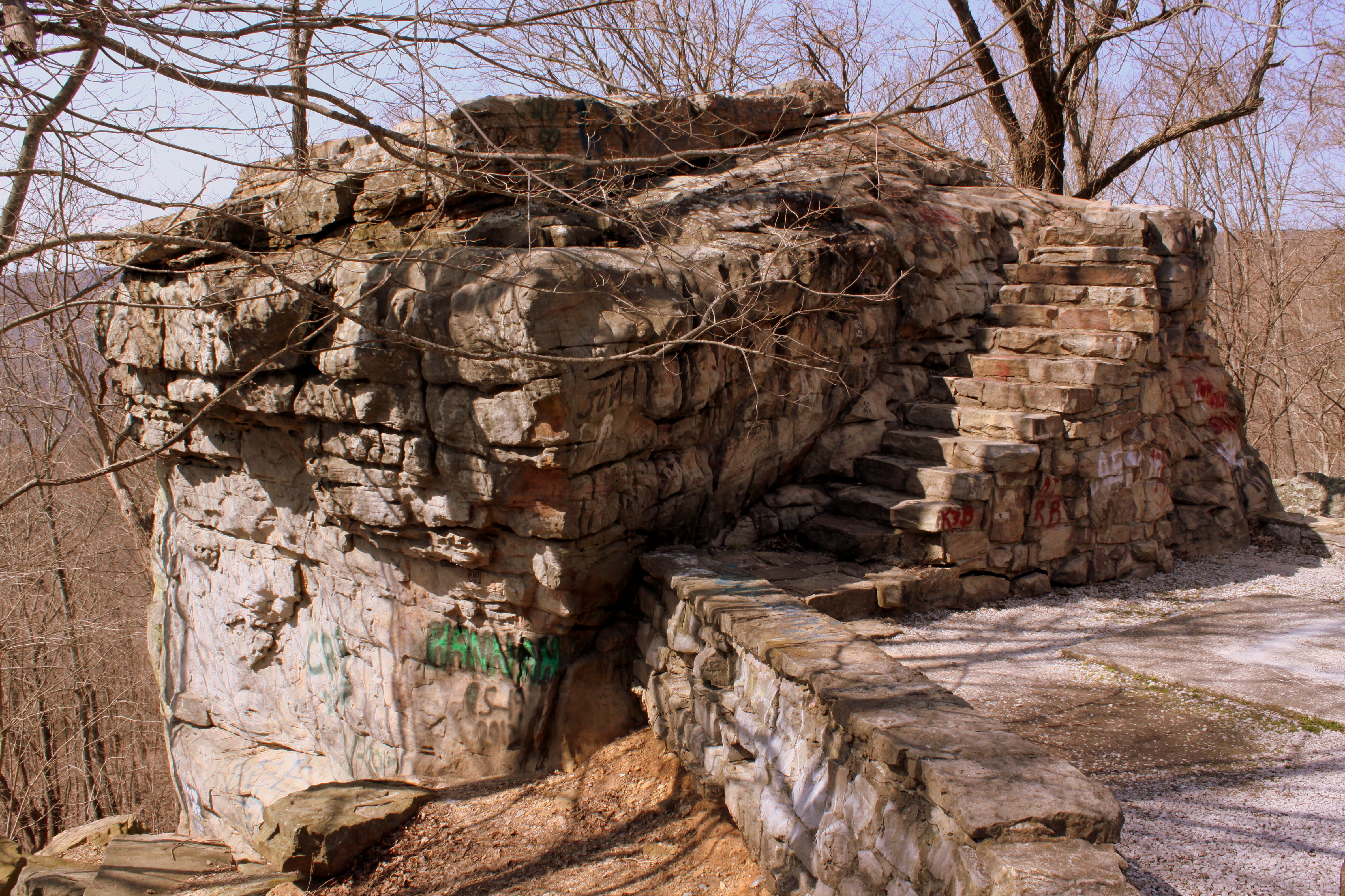
Big Rock & Scenic Overlook - Sewanee, TN

Our picnic spot on Sewanee's campus (The University of the South) during our hike on the Perimeter Trail. We spent a wonderful 4 days, 3 nights in Little Bear Cabin in Monteagle, TN. The views were spectacular, from the cabin and in our many hikes. Planni
Fosters Falls' Pool

St. Mary's Convent

Enter This Gate To A World Of Death, My Deer

St. Mary's Convent

St. Mary's Convent

View from St. Mary's Convent

Two Charlottes Elliott

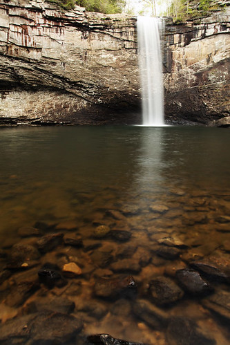
Foster Falls

Lost Cove Cascades - May 4, 2014

Tennessee & Records

Disney world 2014

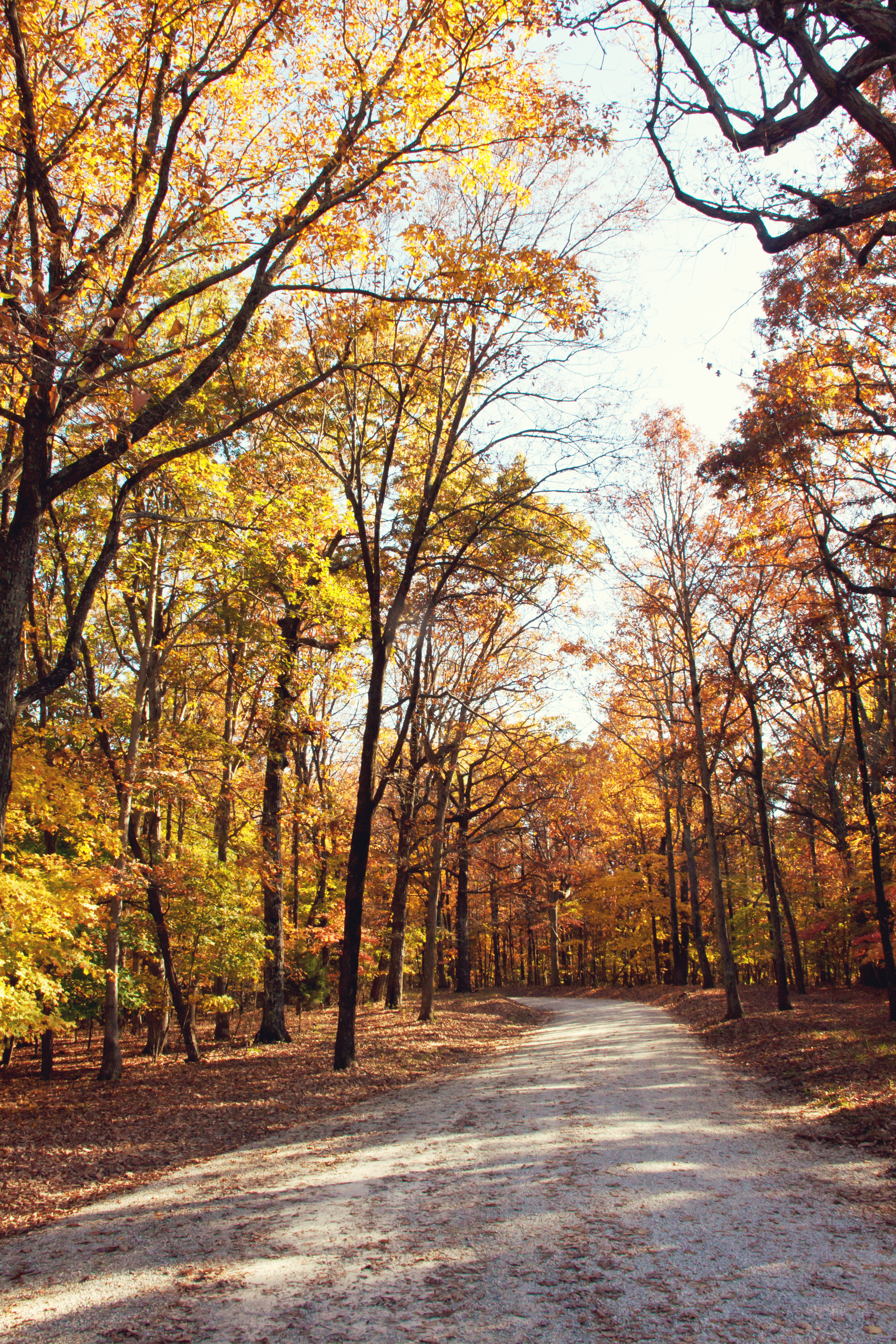
When all you see is Tree's

Little Fiery Gizzard Creek - Fiery Gizzard Trail - March 16, 2013

Big Fiery Gizzard Creek - Grundy Forest State Natural Area - Fiery Gizzard Trail - March 16, 2013

A Mountain's Stream

~`A Twist`~

Big Fiery Gizzard Creek

Black Canyon Cascade - Grundy Forest State Natural Area - Fiery Gizzard Trail - March 16, 2013

Sycamore Falls - Fiery Gizzard -August 4, 2013

Little Fiery Gizzard Creek - Fiery Gizzard Trail - March 16, 2013

Grundy Forest State Natural Area - Fiery Gizzard Trail - March 16, 2013

Big Fiery Gizzard Creek - Fiery Gizzard Trail - March 16, 2013

Franklin-Marion State Forest

Sewanee Southern Section Perimeter Trail - Bridal Veil Falls

Greens Overlook near Sewanee TN

South Cumberland State Park - Fiery Gizzard - Sycamore Falls

Foster Falls #1

South Cumberland State Park - Fiery Gizzard
Topographic Map of Interstate 24, I-24, Monteagle, TN, USA
Find elevation by address:

Places near Interstate 24, I-24, Monteagle, TN, USA:
Monteagle Chamber Of Commerce
527 Lautzenheiser Pl
Monteagle
Overlook Drive
Clifftops Ave, Monteagle, TN, USA
1844 Ridge Cliff Dr
David Crockett Highway
US-41, Pelham, TN, USA
2403 Sarvisberry Pl
290 Quintard Rd
Ravens Den Road
Saint Andrews
Ladds Cove Road
760 Payne Cove Rd
The University Of The South
Pelham
Sewanee
Bob Stewman Rd, Sewanee, TN, USA
555 Charlie Roberts Rd
209 Carpenter Cir
Recent Searches:
- Elevation of Leguwa, Nepal
- Elevation of County Rd, Enterprise, AL, USA
- Elevation of Kolchuginsky District, Vladimir Oblast, Russia
- Elevation of Shustino, Vladimir Oblast, Russia
- Elevation of Lampiasi St, Sarasota, FL, USA
- Elevation of Elwyn Dr, Roanoke Rapids, NC, USA
- Elevation of Congressional Dr, Stevensville, MD, USA
- Elevation of Bellview Rd, McLean, VA, USA
- Elevation of Stage Island Rd, Chatham, MA, USA
- Elevation of Shibuya Scramble Crossing, 21 Udagawacho, Shibuya City, Tokyo -, Japan