Elevation of 91 Rutledge Ford Rd, Hillsboro, TN, USA
Location: United States > Tennessee > Coffee County > Hillsboro >
Longitude: -85.941443
Latitude: 35.308615
Elevation: 314m / 1030feet
Barometric Pressure: 98KPa
Elevation Map:
Satellite Map:
Related Photos:

Horror Scene

Brace for Death

The War Memorial Cross, Sewanee,Tennessee
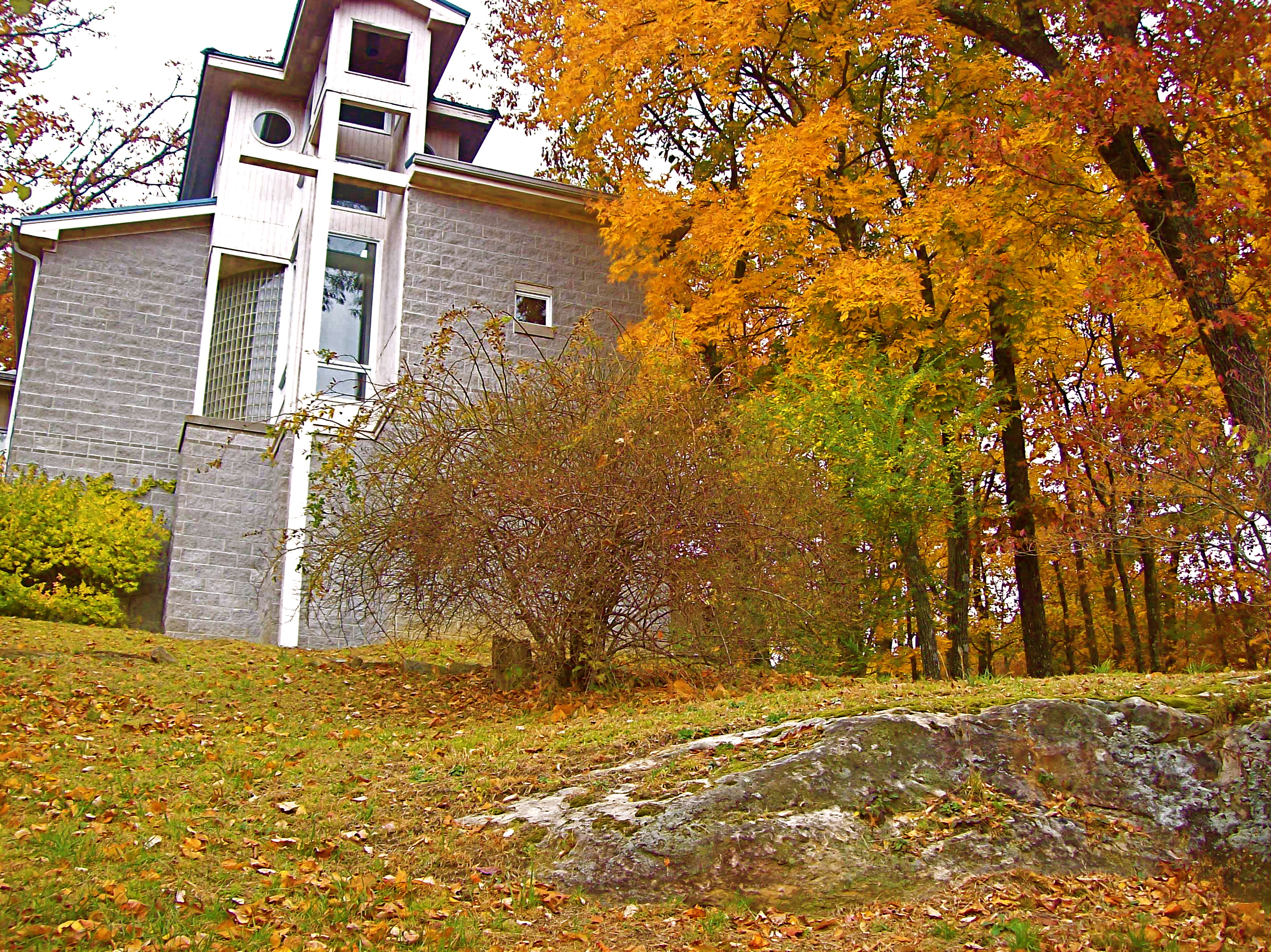
St. Mary's Convent, Sewanee
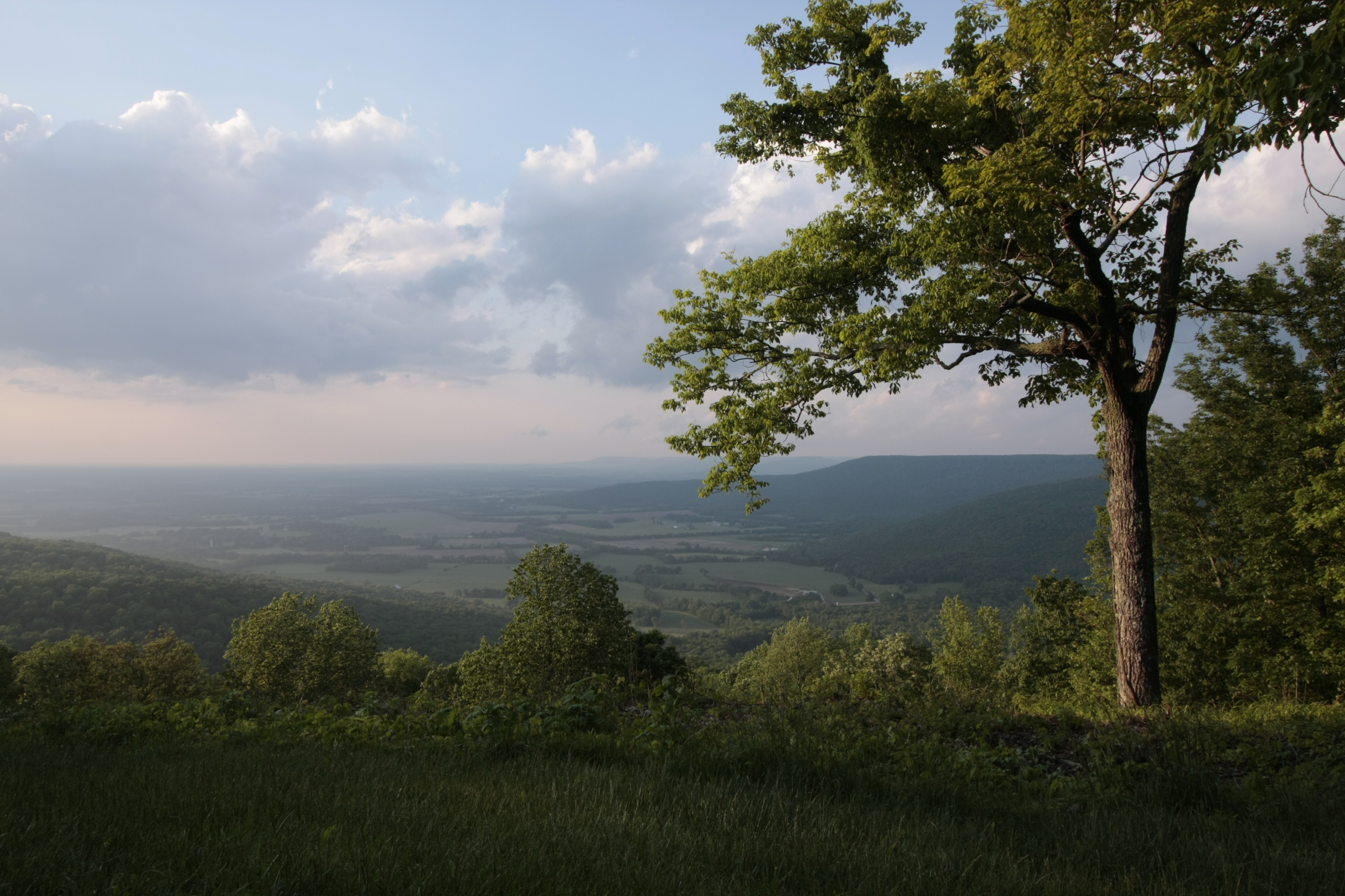
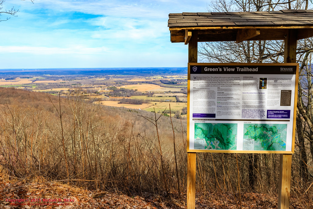
Green's View

At The Foot of Breslin
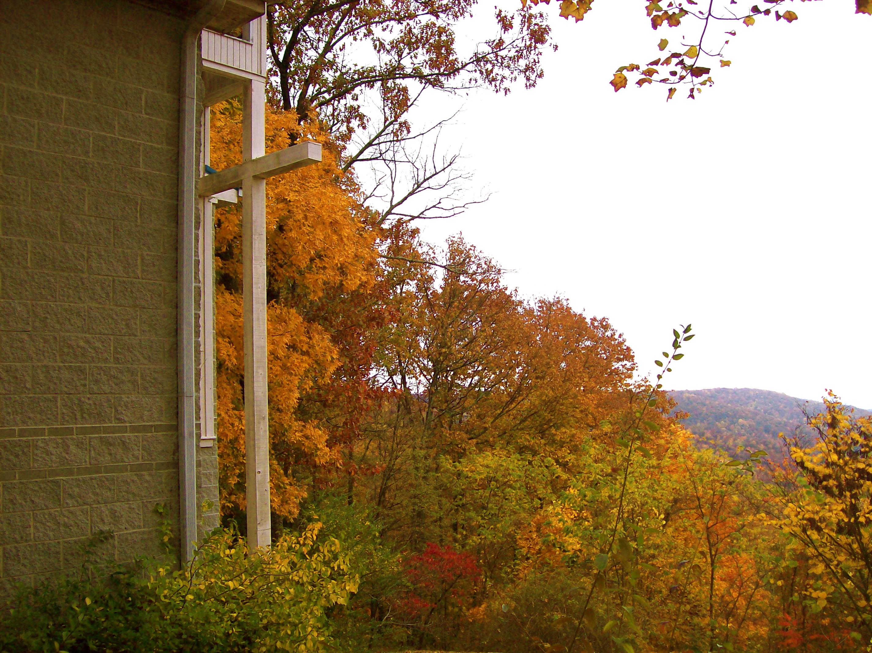
St. Mary's Convent
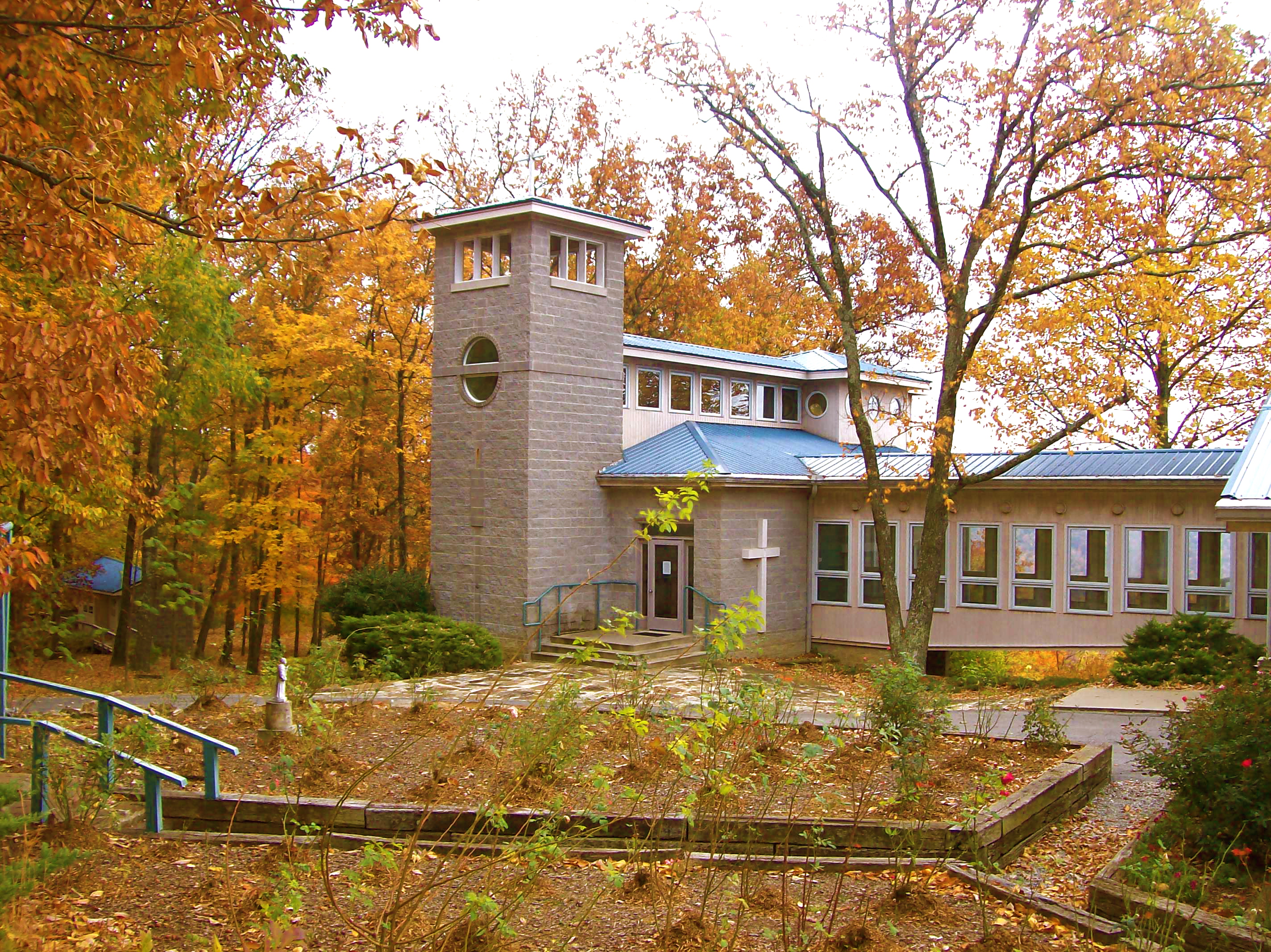
St. Mary's Convent
St. Mary's Convent
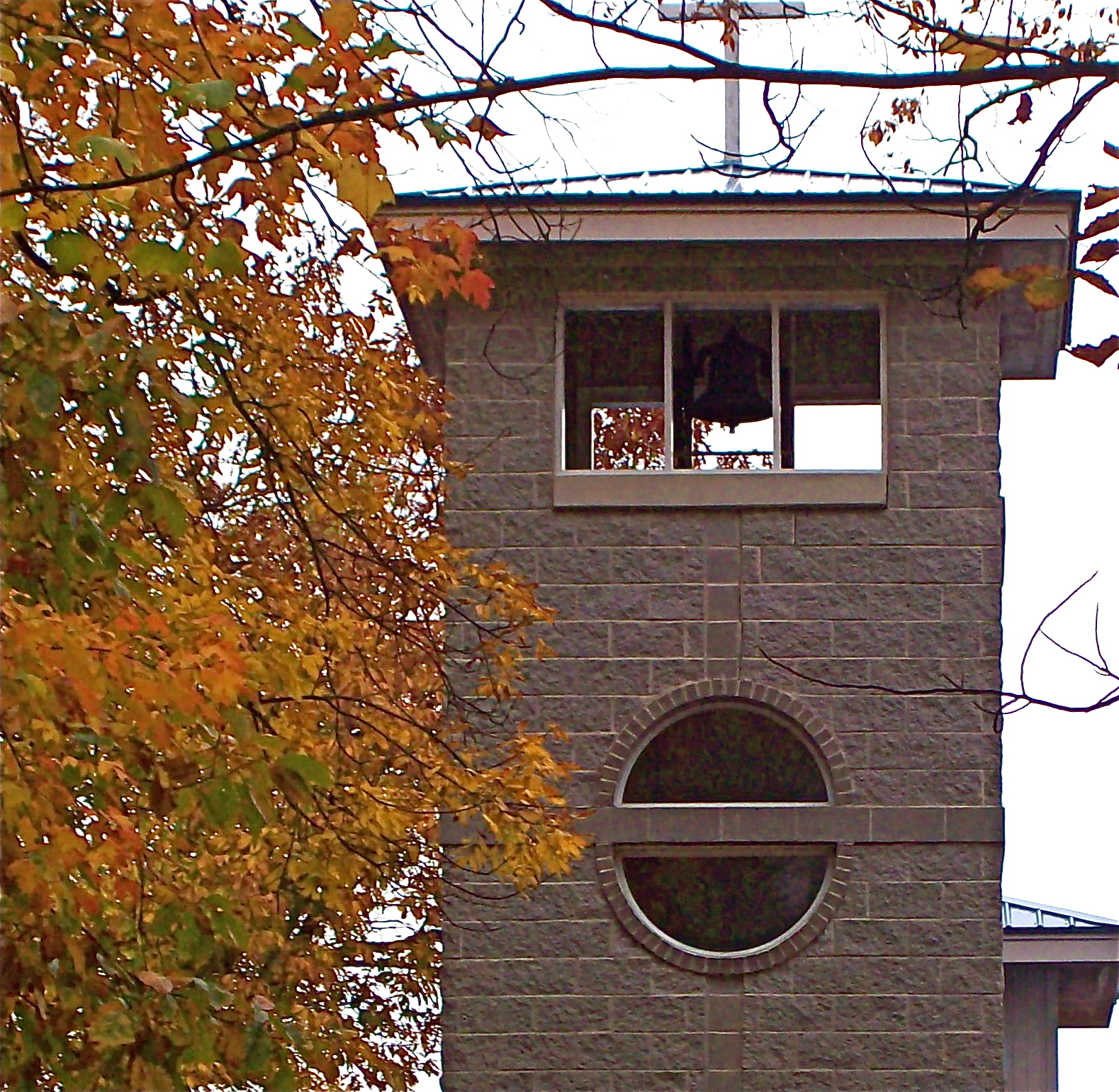
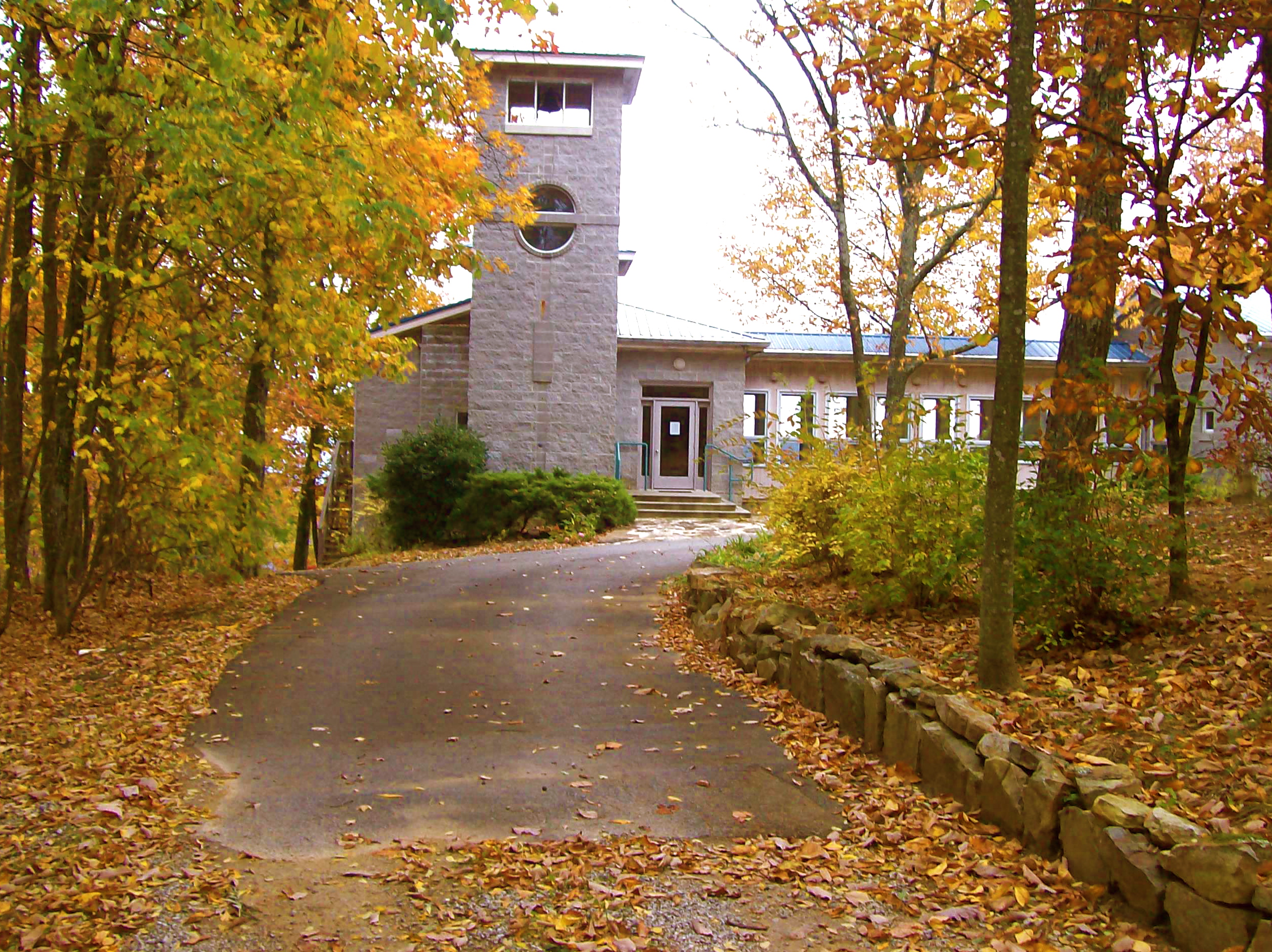
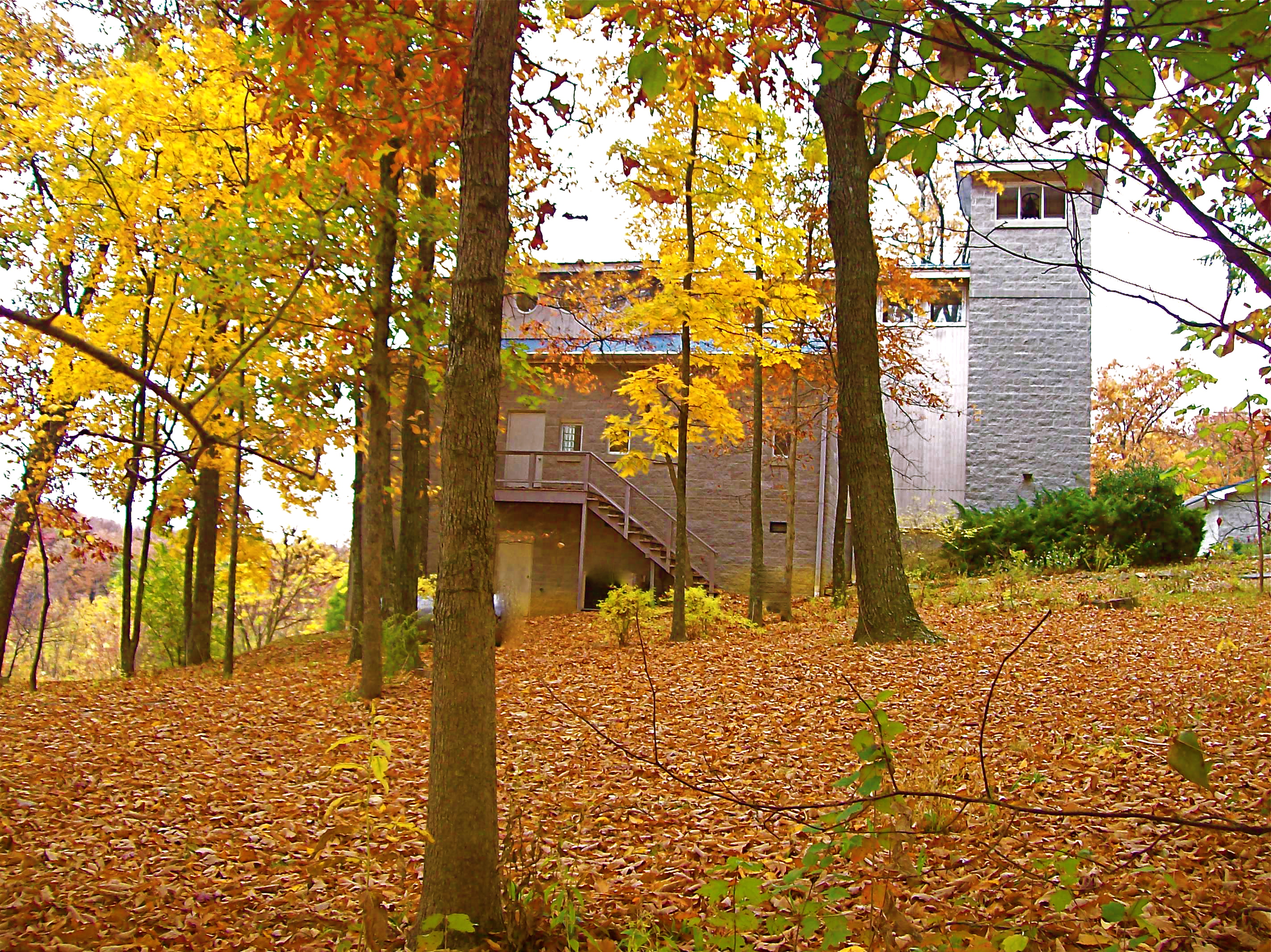
Bell tower, St. Mary's Convent, Sewanee
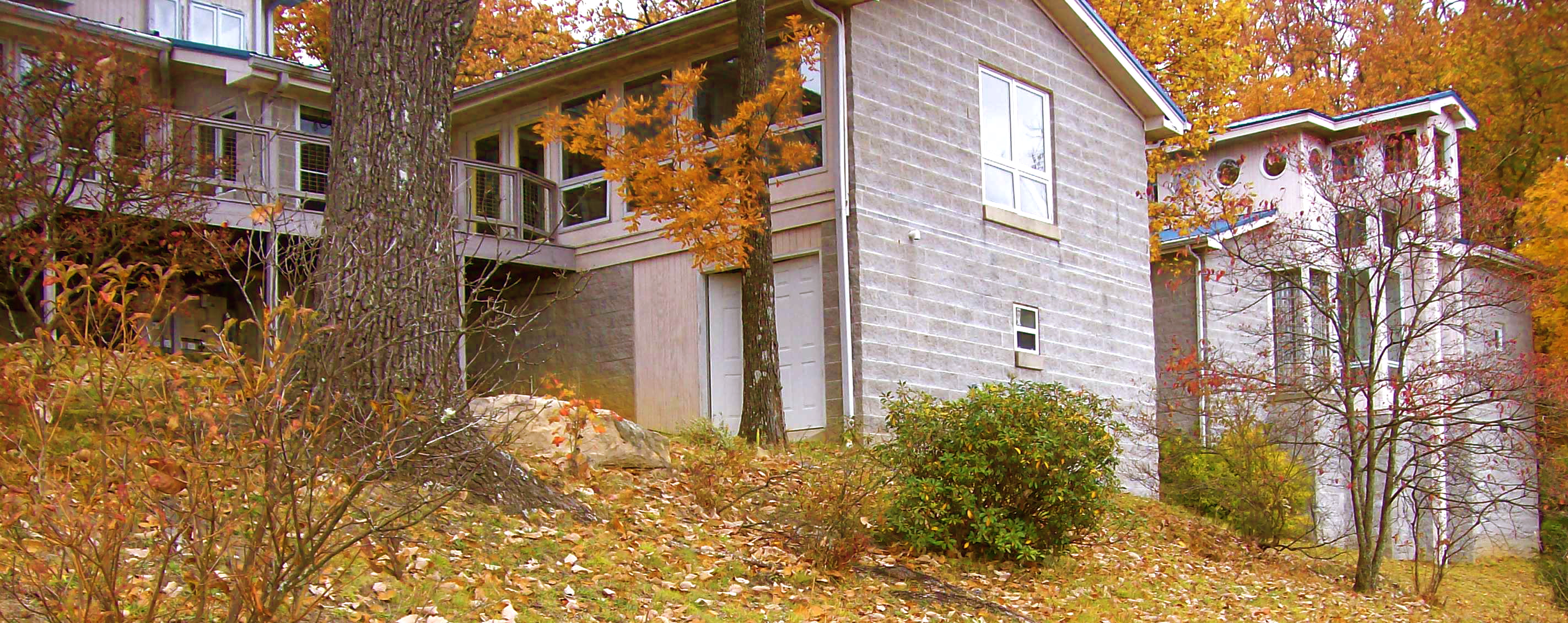
St. Mary's Convent
St. Mary's Convent
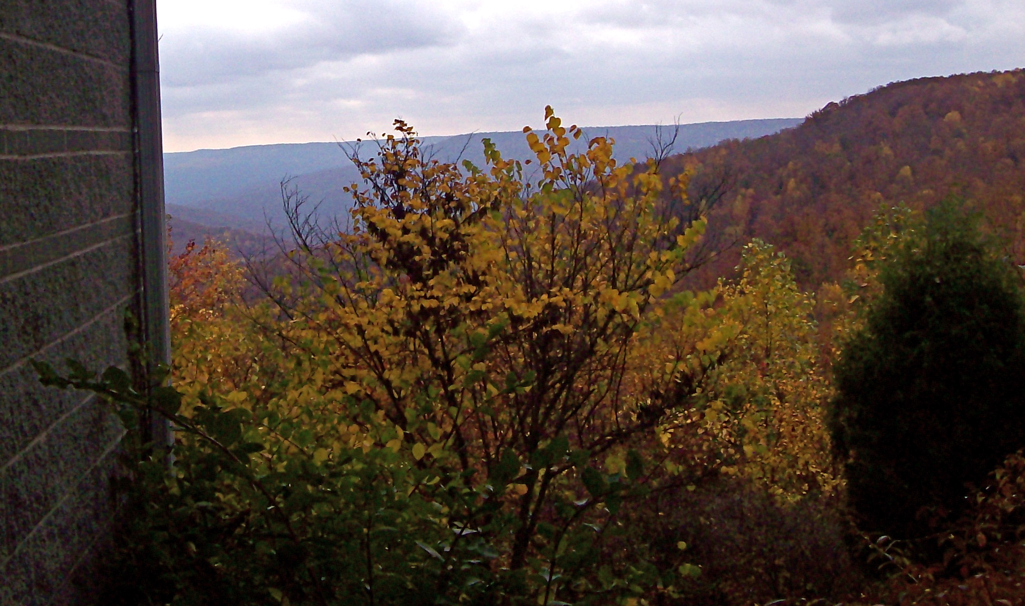
View from St. Mary's Convent
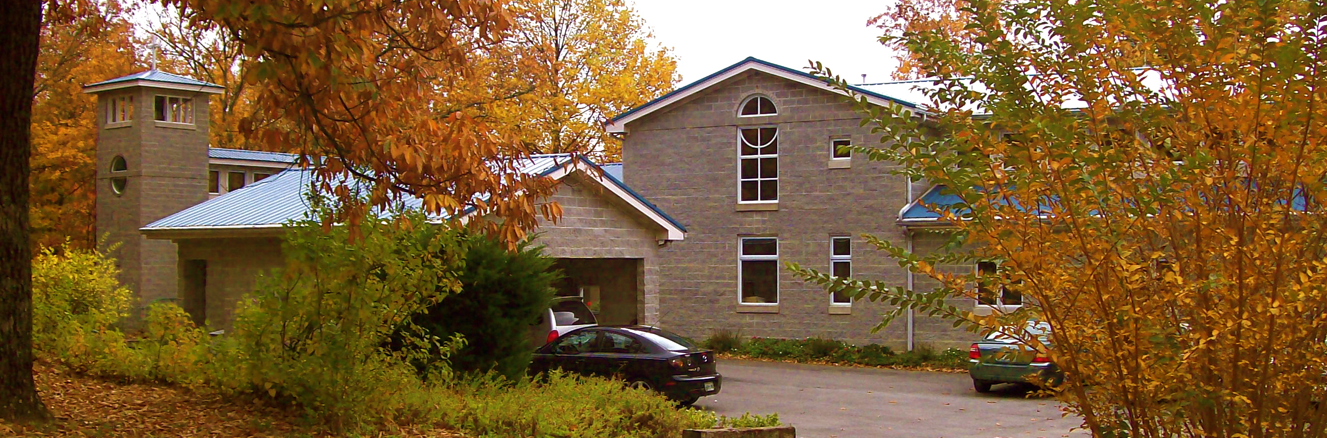
St. Mary's Convent
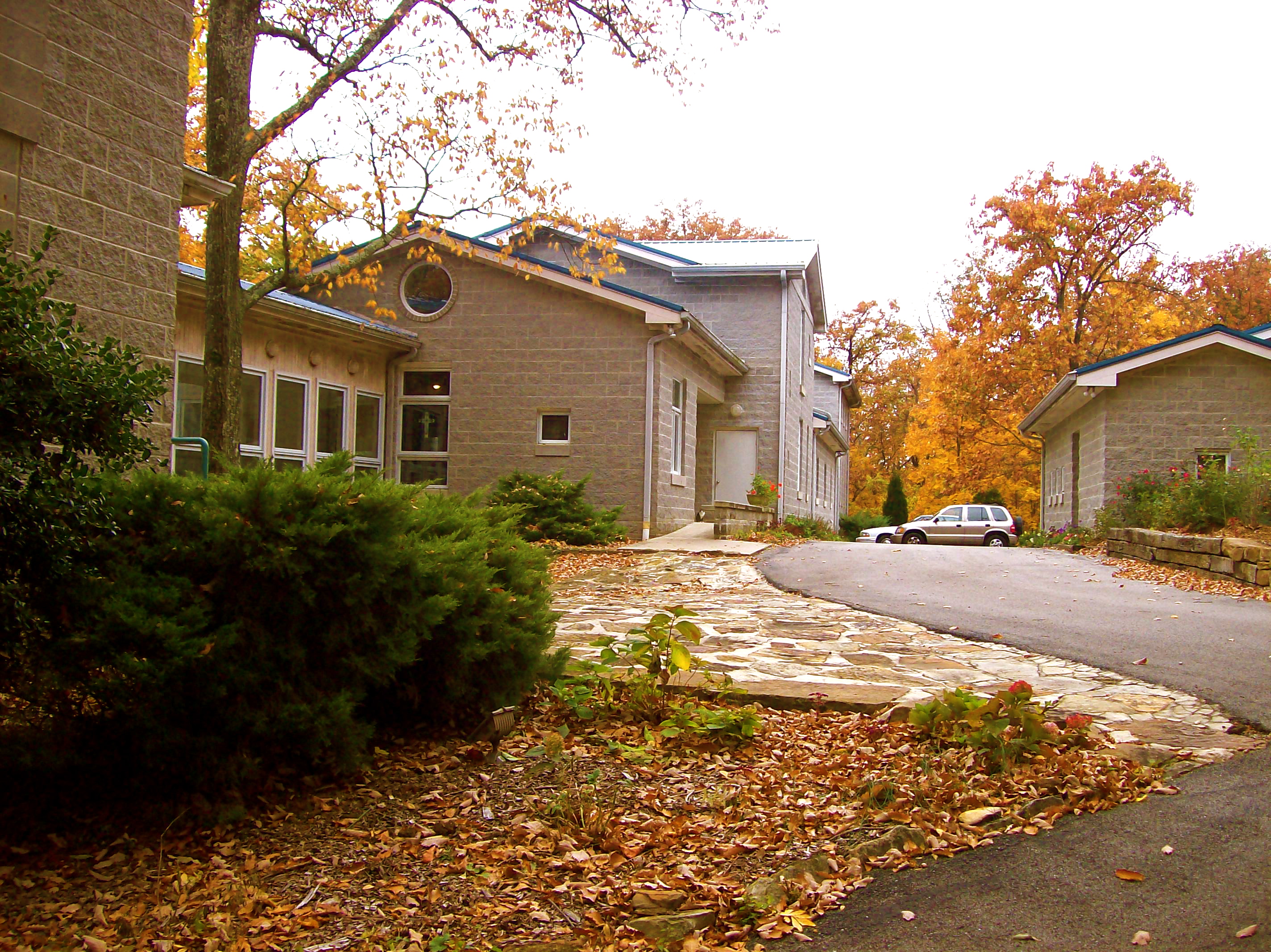
St. Mary's Convent
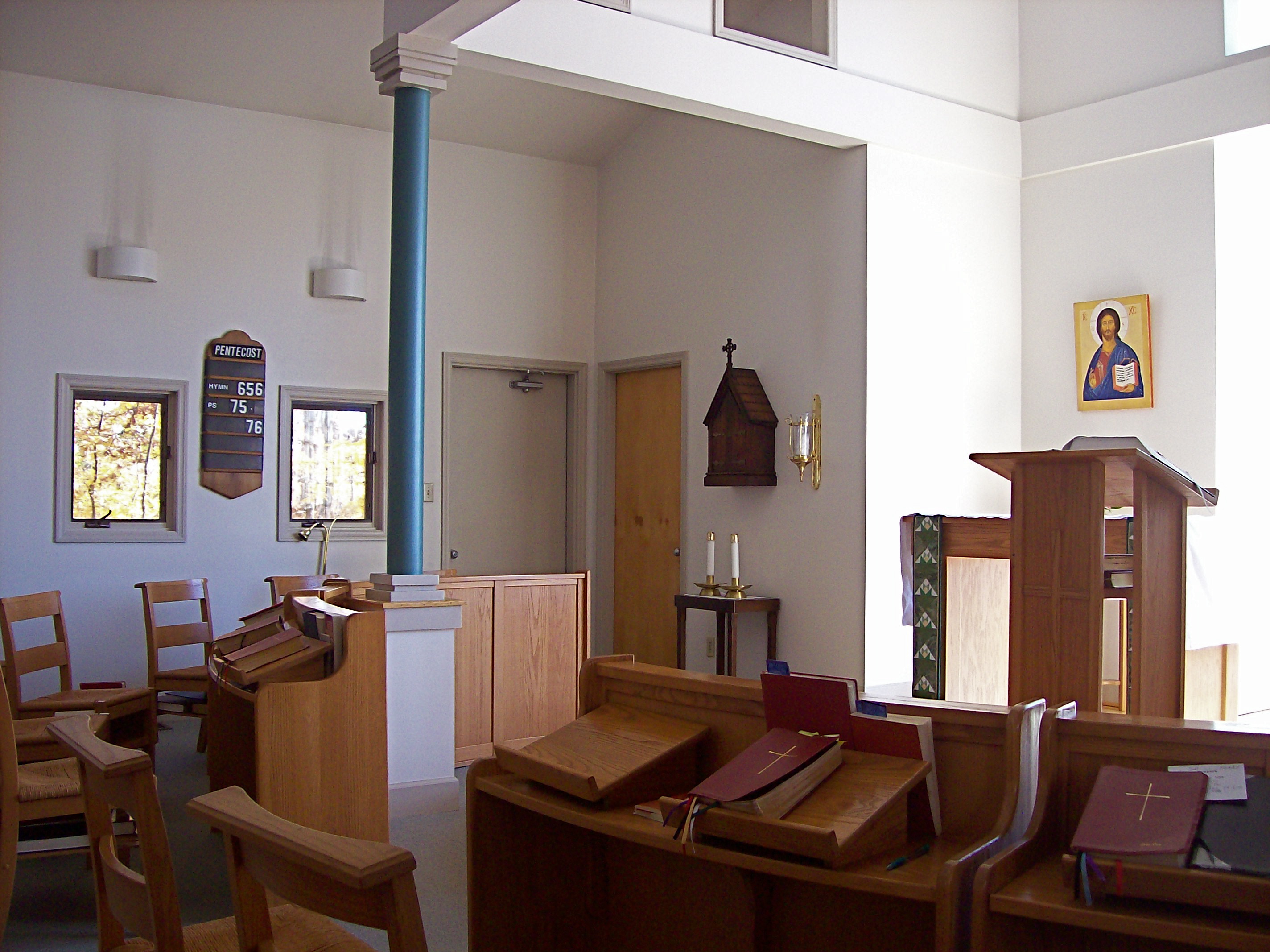
Chapel at St. Mary's Convent
Sewanee - February 6, 2016

Our picnic spot on Sewanee's campus (The University of the South) during our hike on the Perimeter Trail. We spent a wonderful 4 days, 3 nights in Little Bear Cabin in Monteagle, TN. The views were spectacular, from the cabin and in our many hikes. Planni
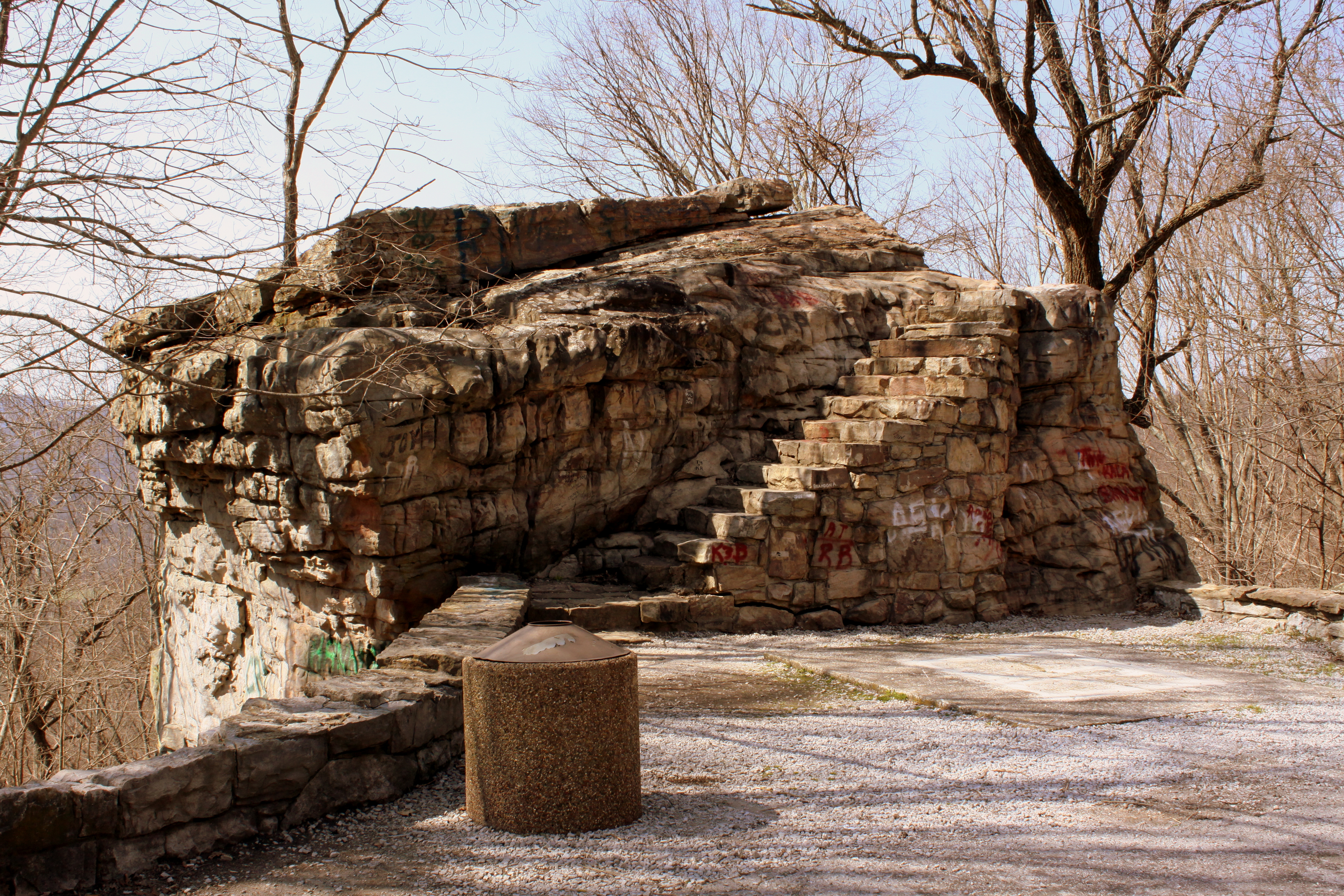
Big Rock & Scenic Overlook - Sewanee, TN

Green's View Road
Sewanee - February 6, 2016

All Saints Chapel
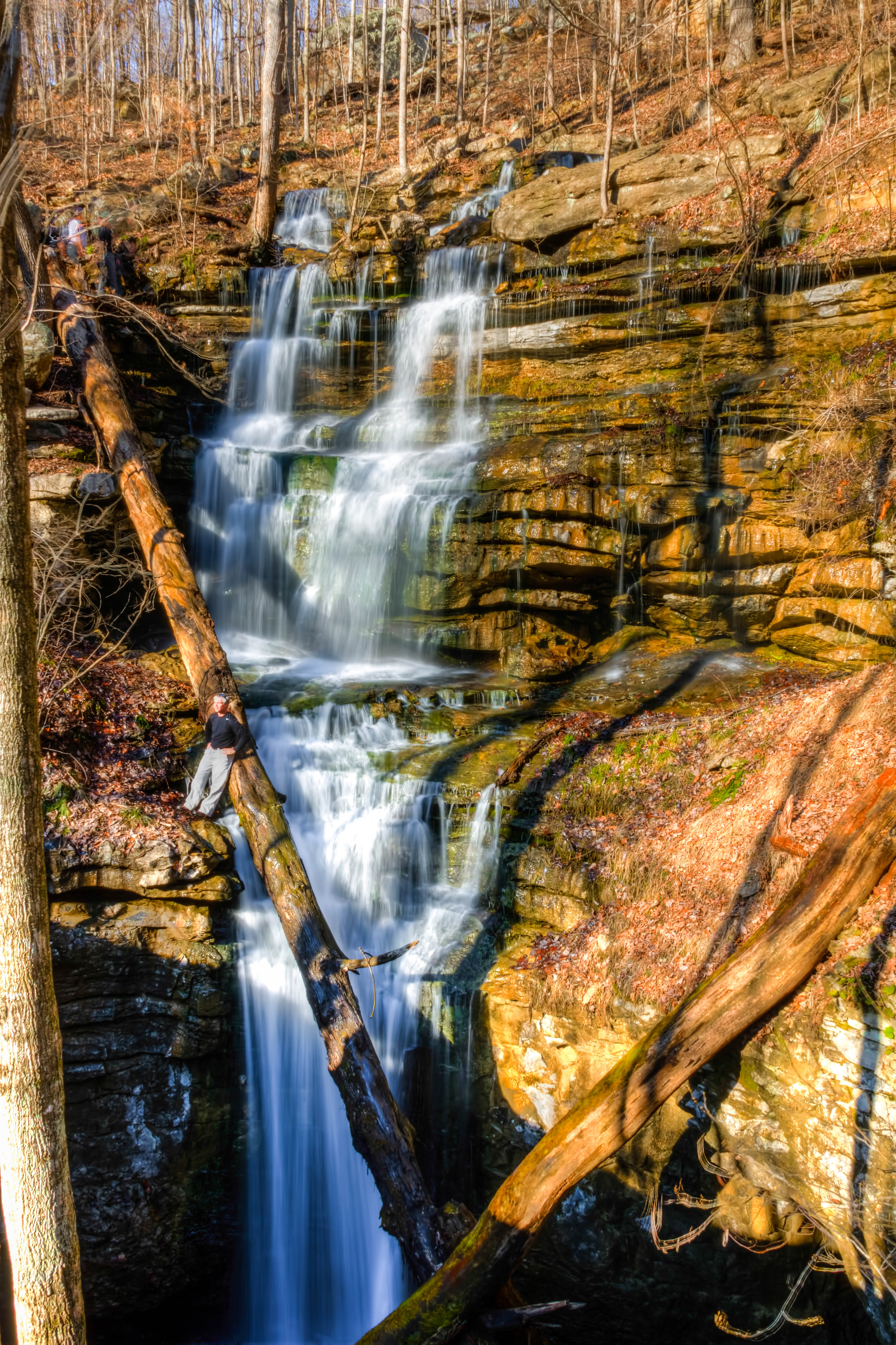
Sewanee Southern Section Perimeter Trail - Bridal Veil Falls
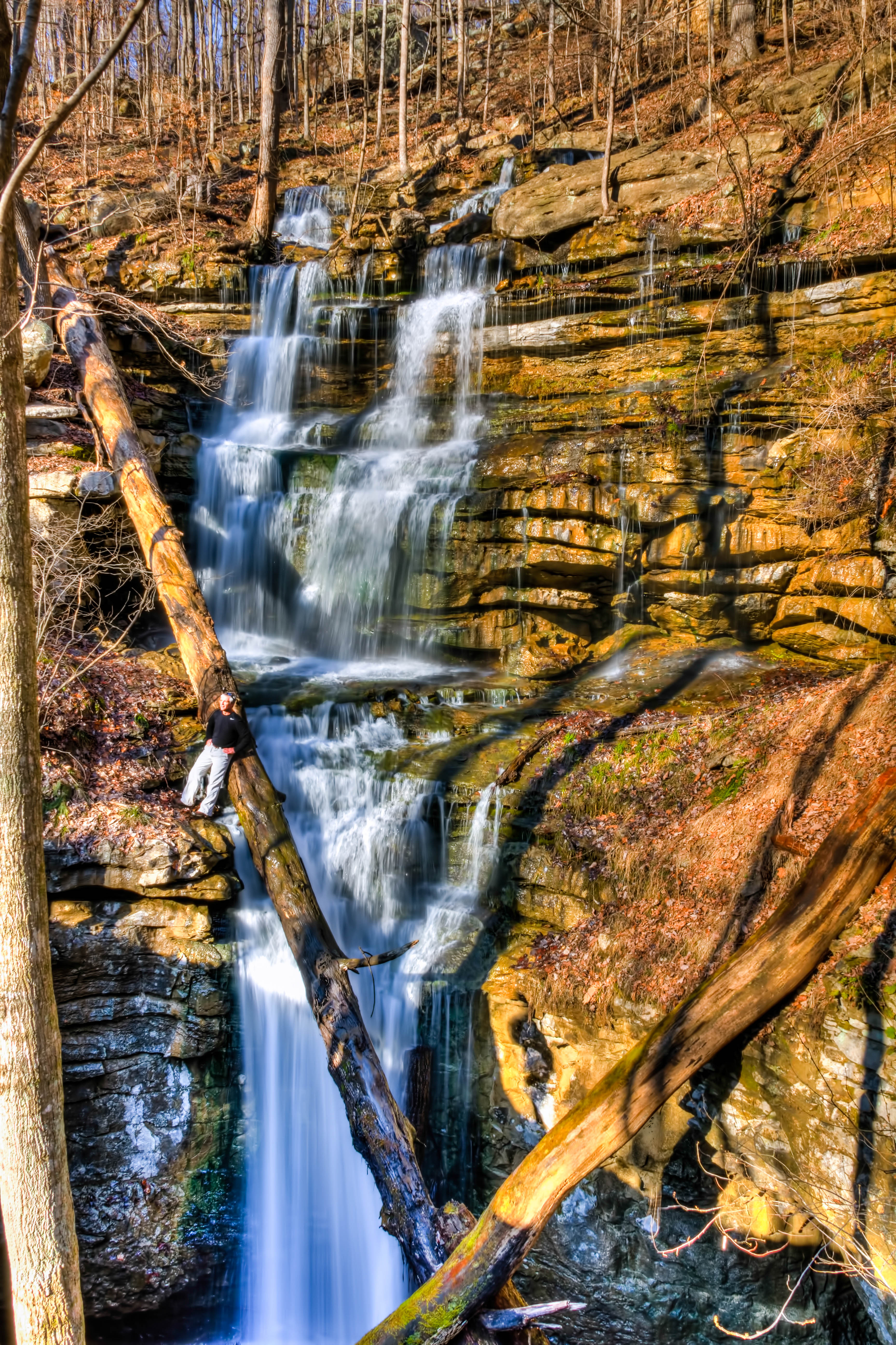
Sewanee Southern Section Perimeter Trail - Bridal Veil Falls
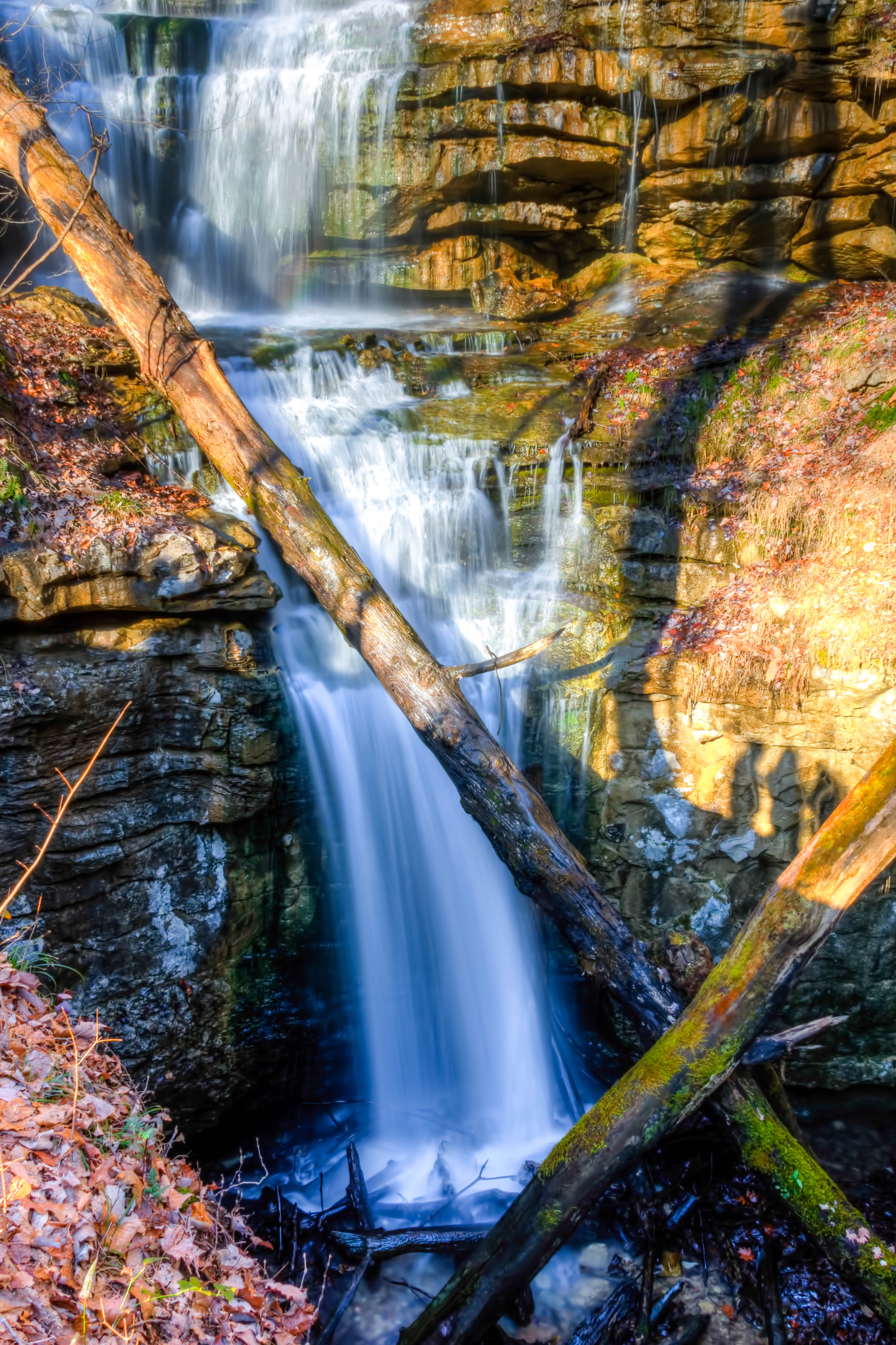
Bridal Veil Falls - Sewanee
Bridal Veil Falls - Sewanee
Wiggins Creek Waterfall
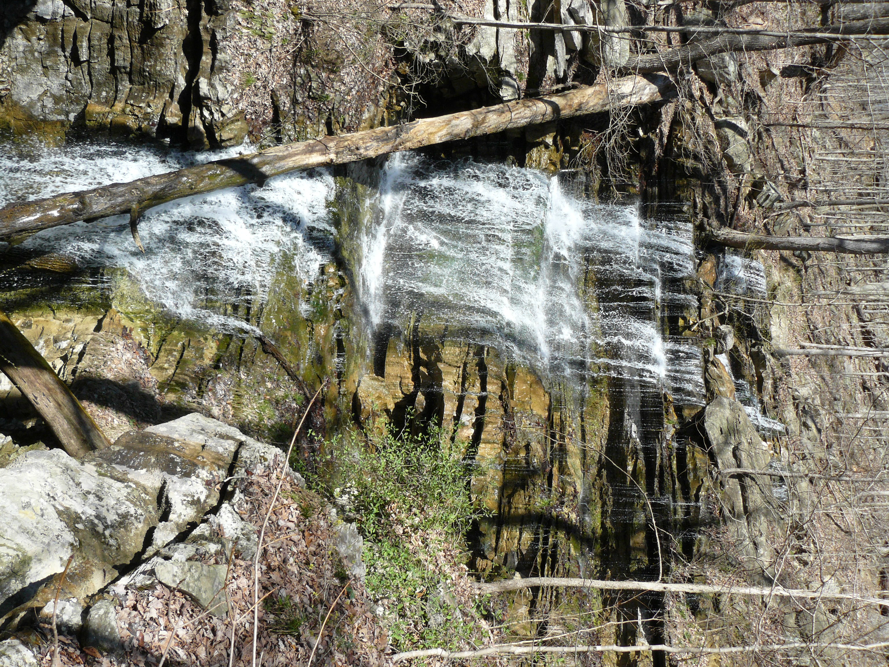
Bridal Veil Falls
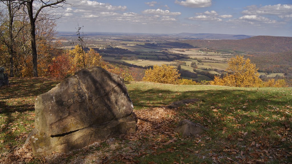
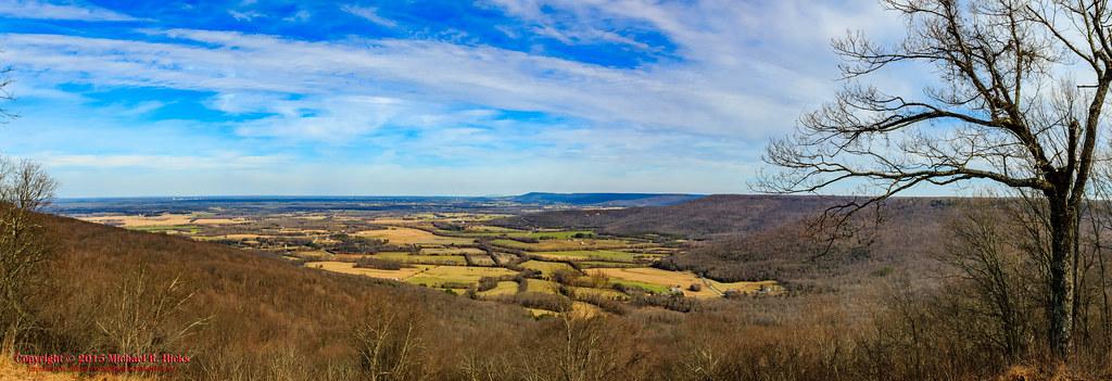
Greens Overlook near Sewanee TN
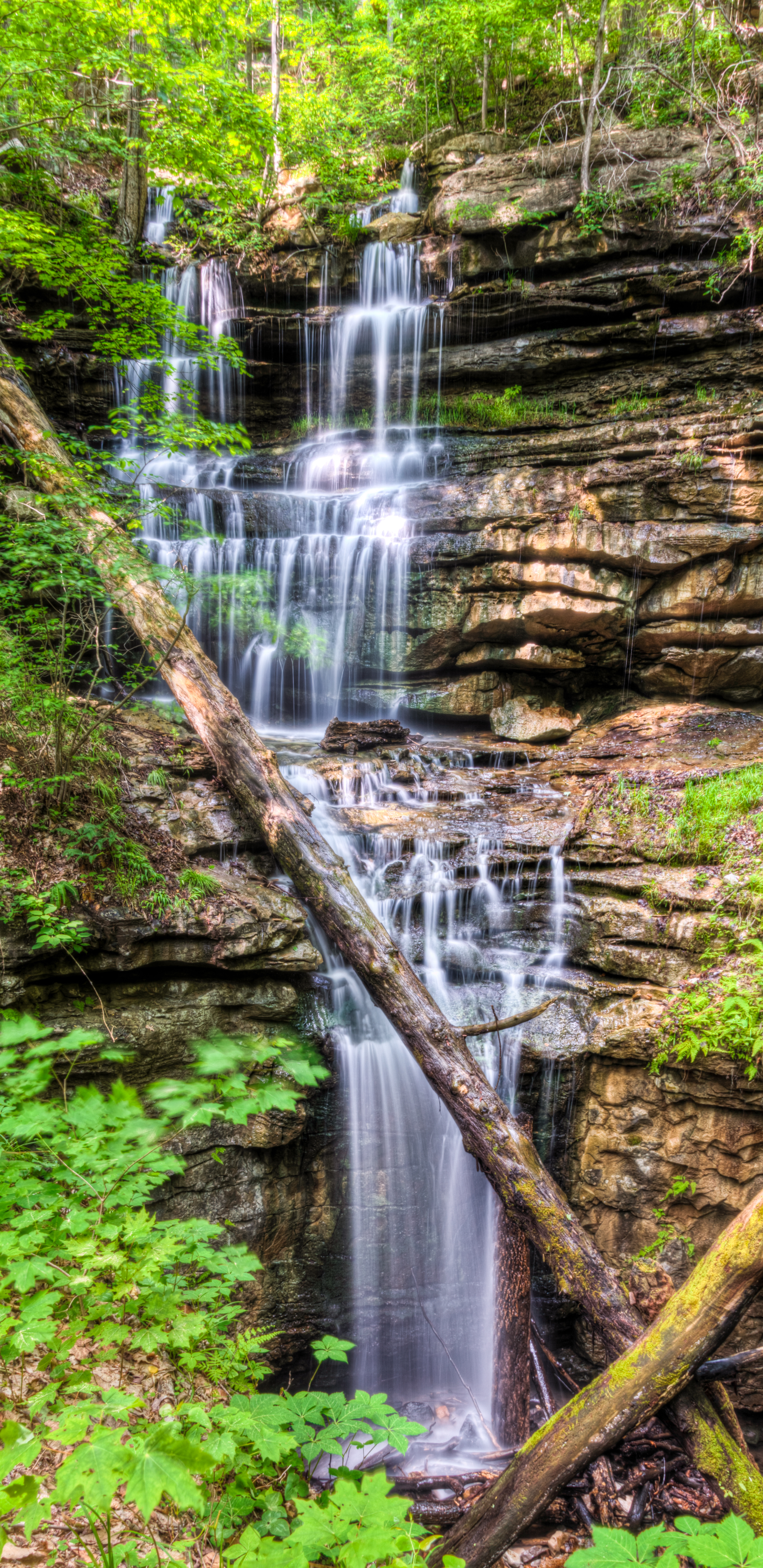
Bridal Veil Falls - Sewanee
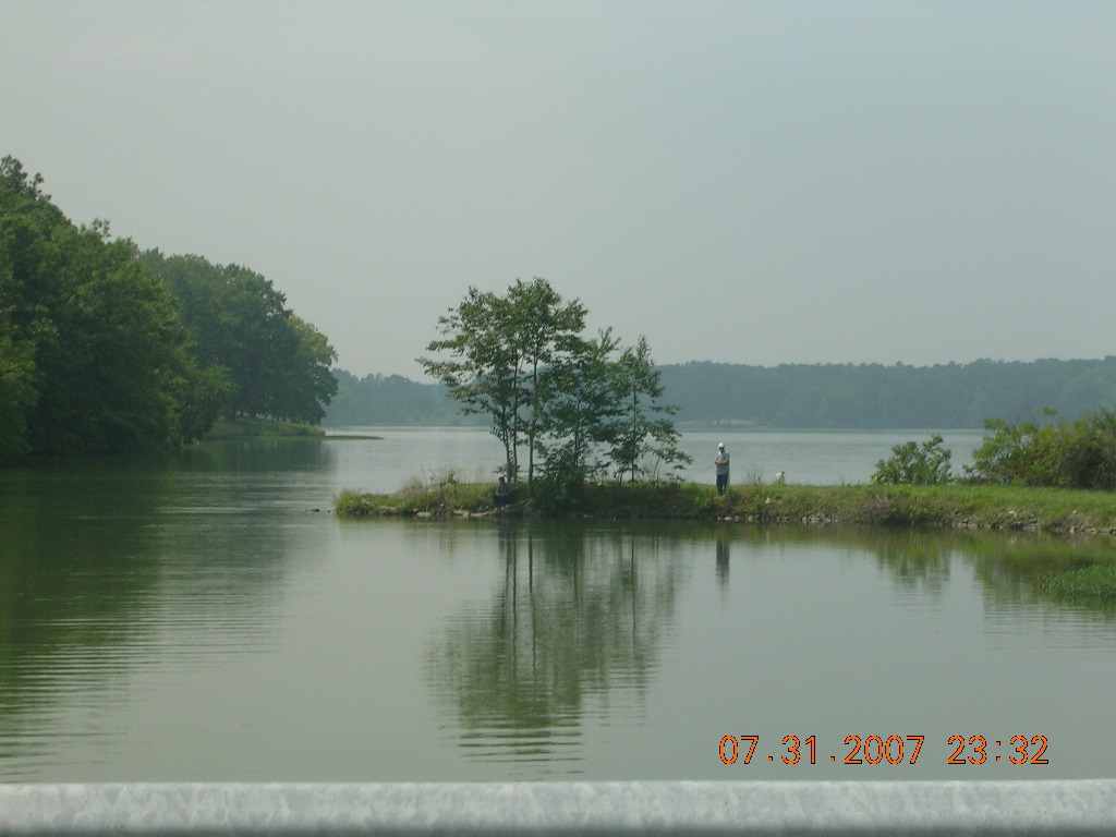
Fishermen at Wood's Reservoir

Landscape Painting

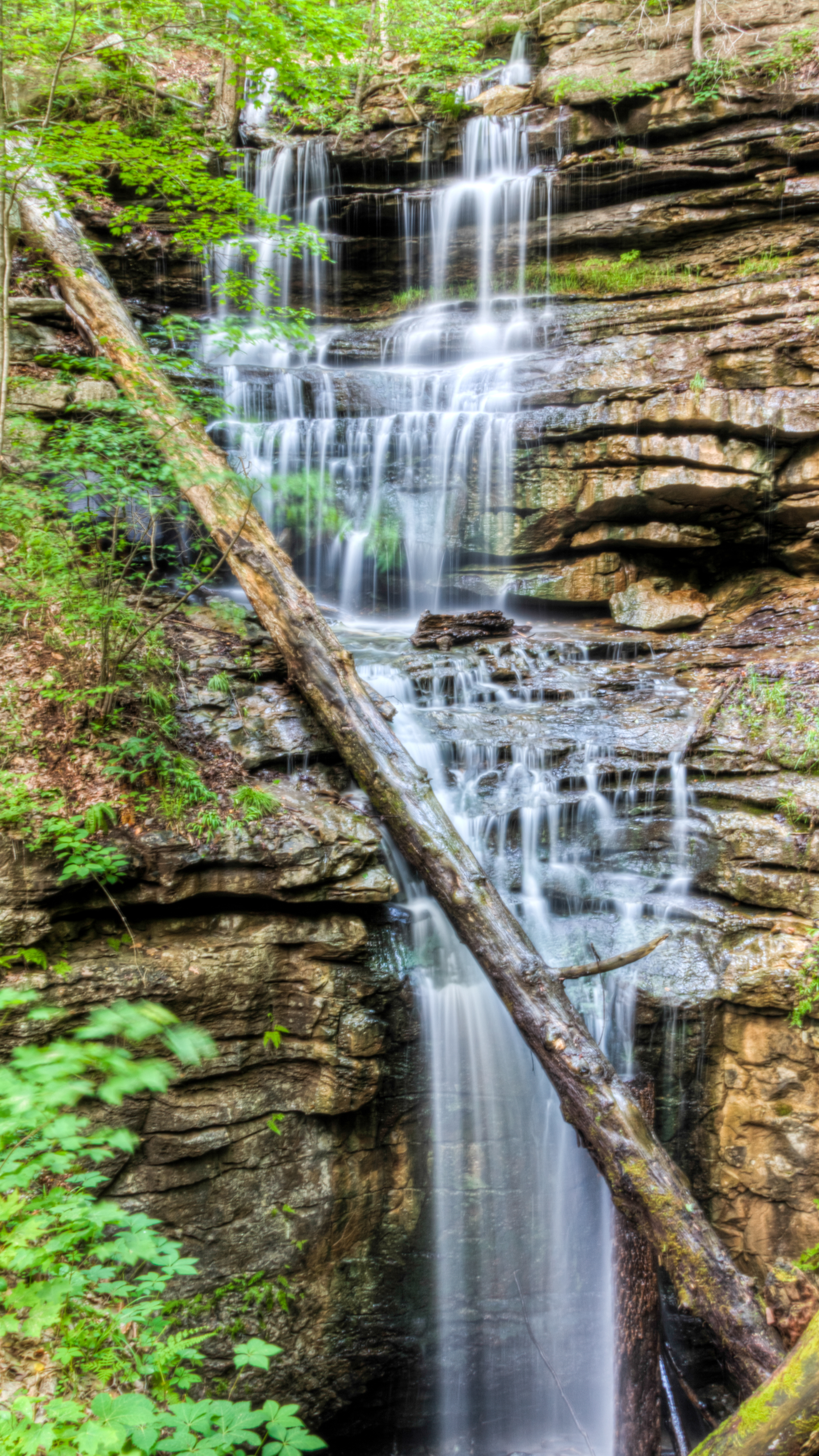
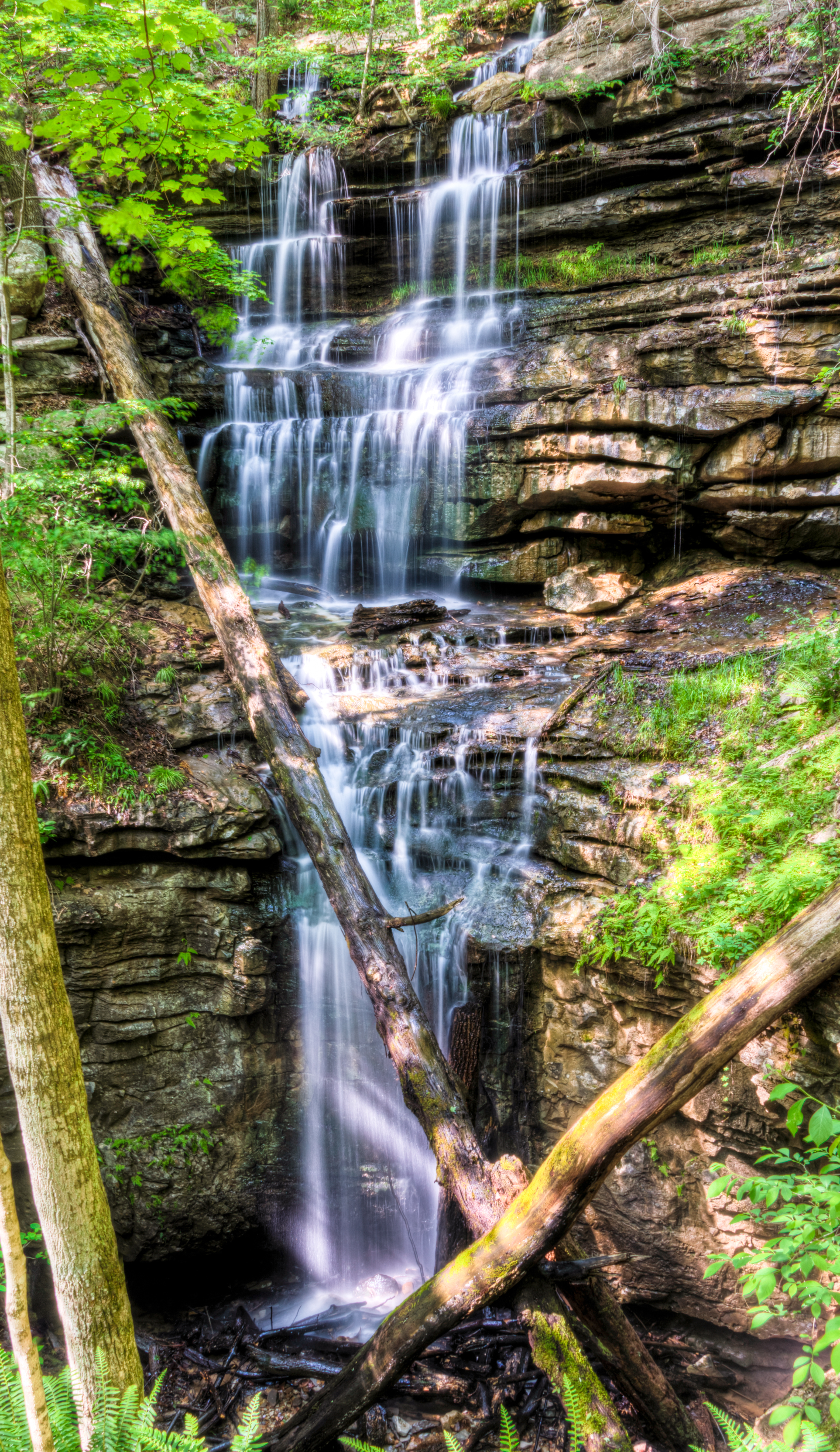
Sewanee Southern Section Perimeter Trail - Bridal Veil Falls

Sewanee Southern Section Perimeter Trail - Bridal Veil Falls
Sewanee Southern Section Perimeter Trail - Bridal Veil Falls
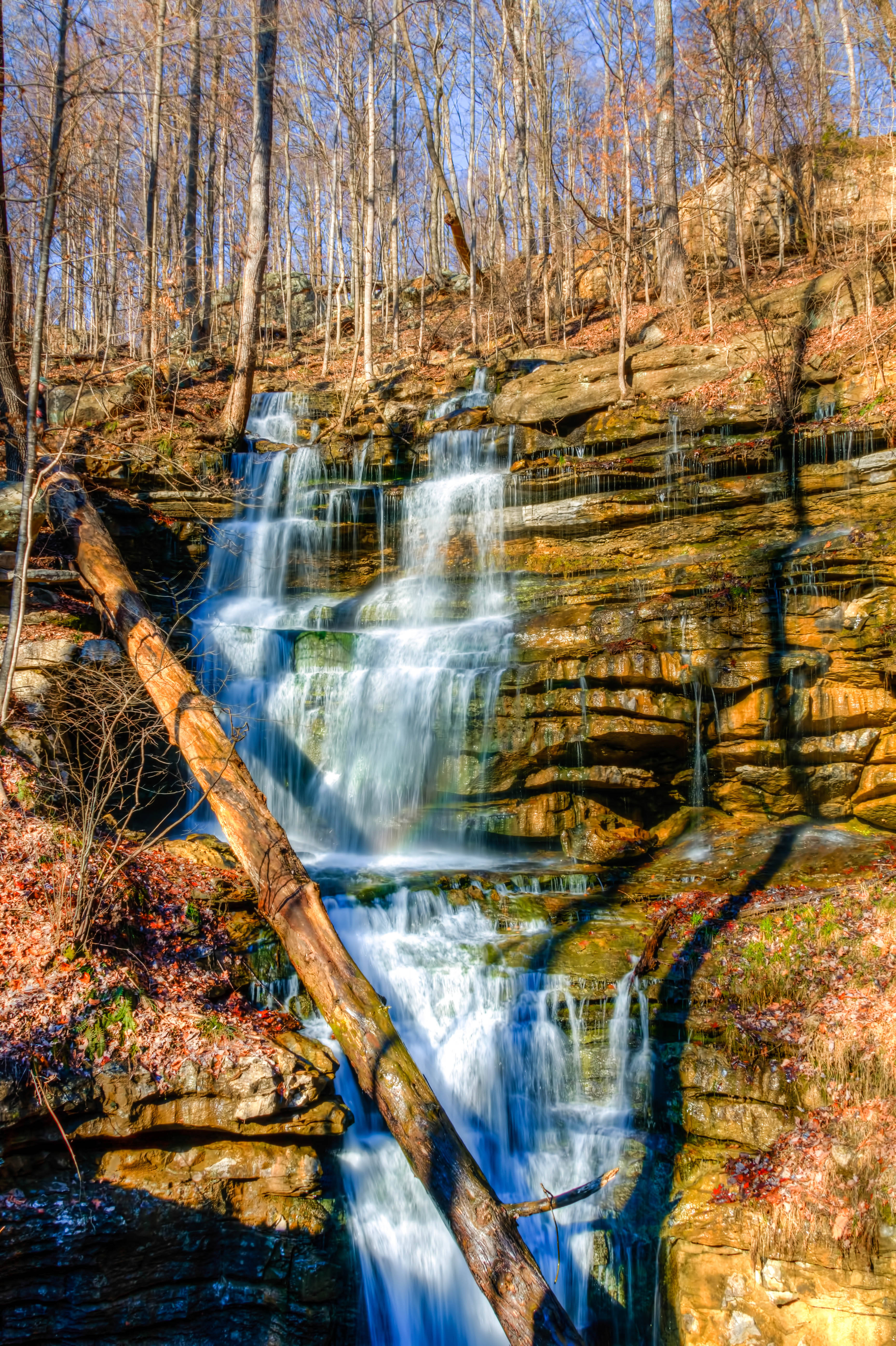
Sewanee Southern Section Perimeter Trail - Bridal Veil Falls
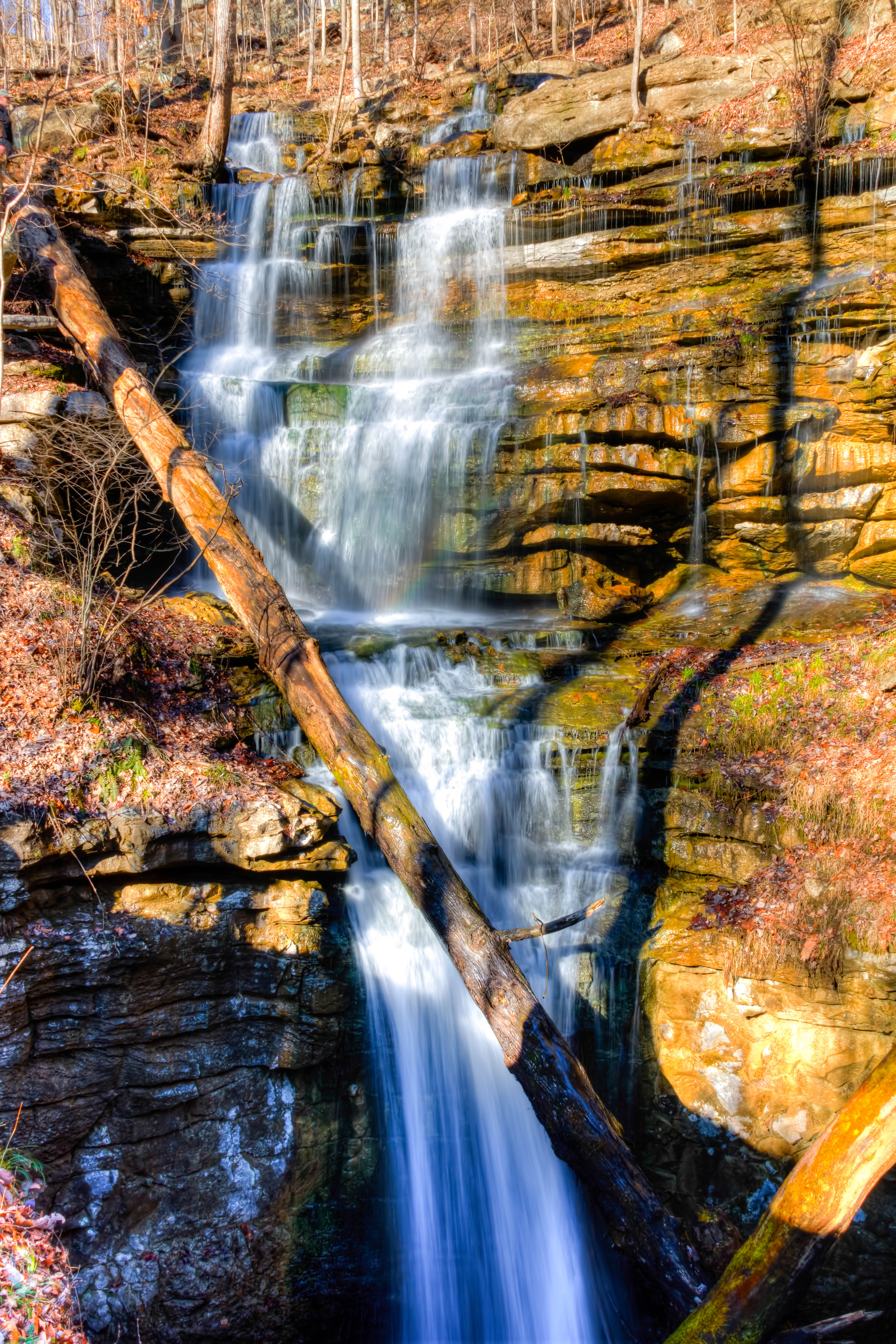
Sewanee Southern Section Perimeter Trail - Bridal Veil Falls
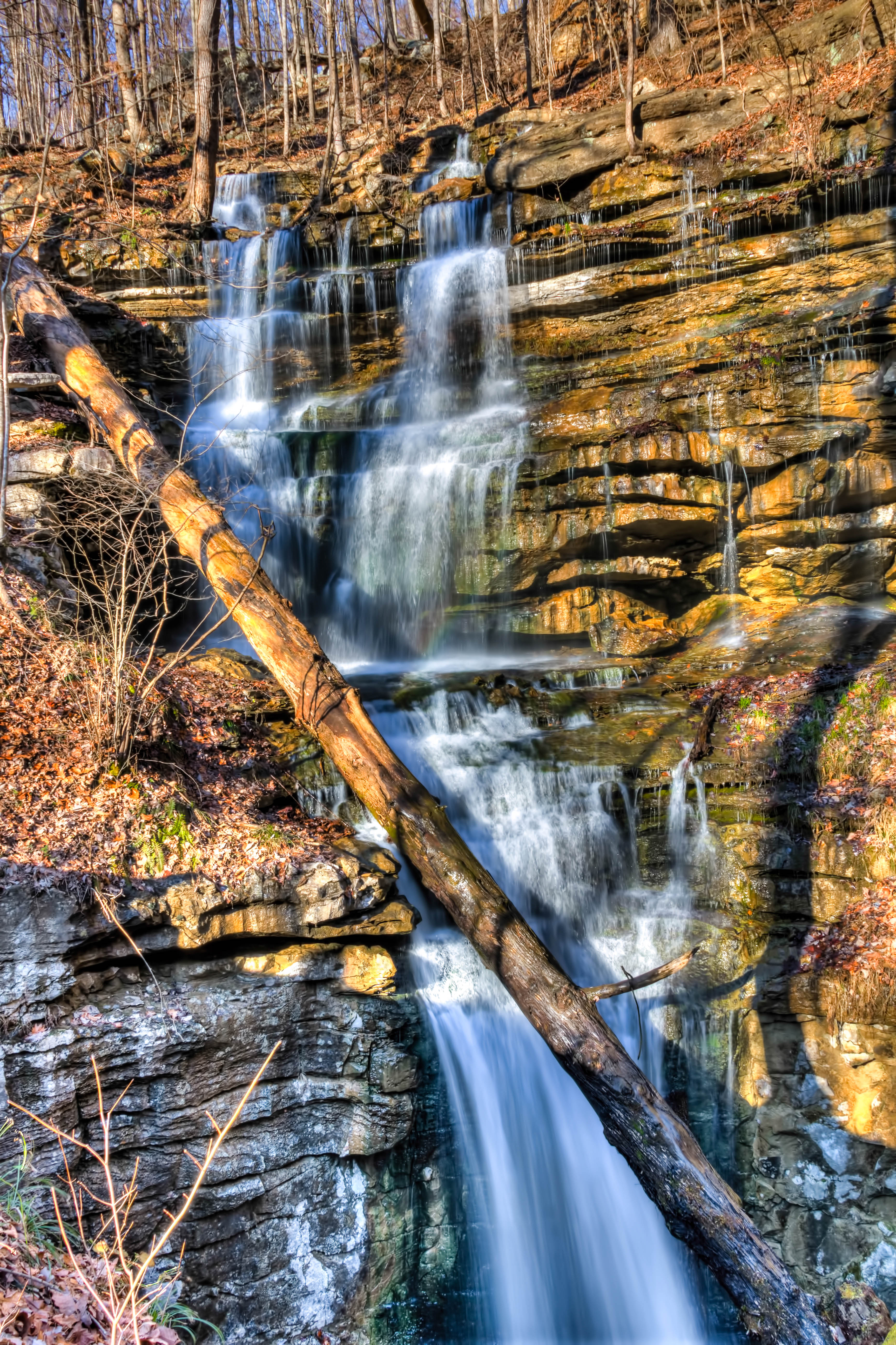
Sewanee Southern Section Perimeter Trail - Bridal Veil Falls
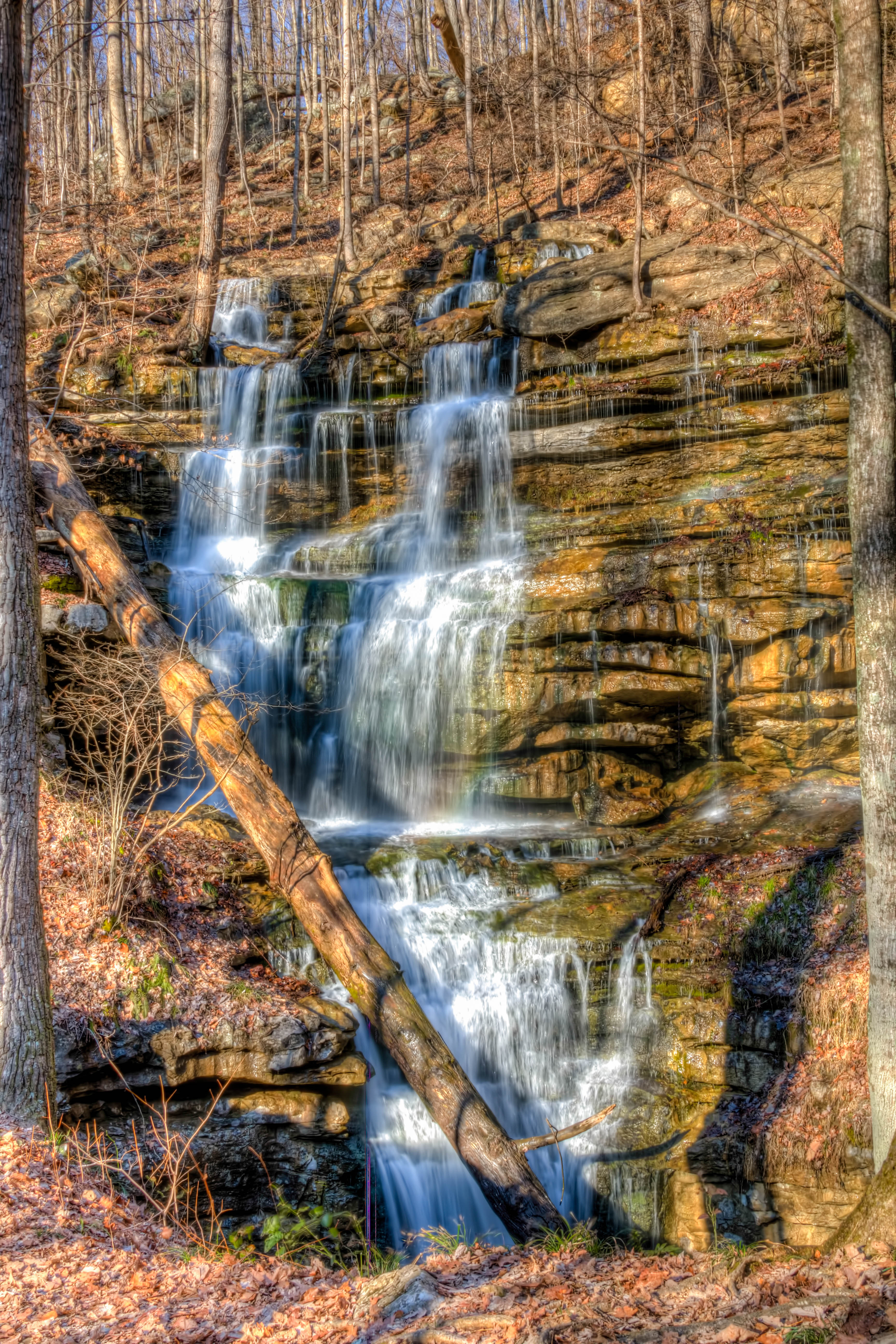
Sewanee Southern Section Perimeter Trail - Bridal Veil Falls

Sewanee Southern Section Perimeter Trail - Bridal Veil Falls
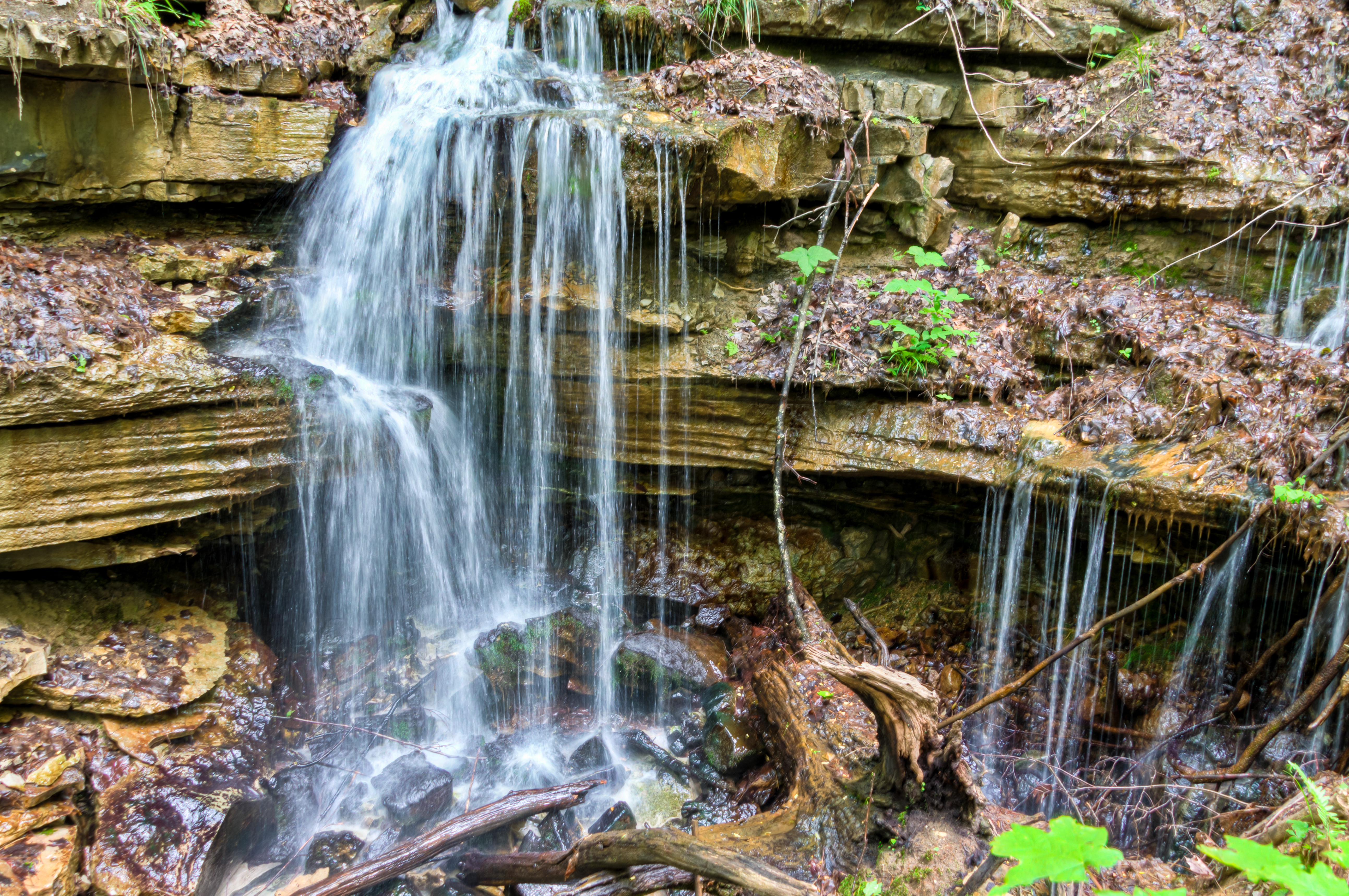
Sewanee Perimeter Trail
Topographic Map of 91 Rutledge Ford Rd, Hillsboro, TN, USA
Find elevation by address:

Places near 91 Rutledge Ford Rd, Hillsboro, TN, USA:
Pelham
Old Alto Hwy, Decherd, TN, USA
760 Payne Cove Rd
US-41, Pelham, TN, USA
290 Quintard Rd
The University Of The South
Sewanee
61 Gipson Ln, Decherd, TN, USA
Saint Andrews
209 Carpenter Cir
David Crockett Highway
555 Charlie Roberts Rd
Clifftops Ave, Monteagle, TN, USA
Monteagle
Overlook Drive
Bob Stewman Rd, Sewanee, TN, USA
Interstate 24
Monteagle Chamber Of Commerce
527 Lautzenheiser Pl
2403 Sarvisberry Pl
Recent Searches:
- Elevation of Hercules Dr, Colorado Springs, CO, USA
- Elevation of Szlak pieszy czarny, Poland
- Elevation of Griffing Blvd, Biscayne Park, FL, USA
- Elevation of Kreuzburger Weg 13, Düsseldorf, Germany
- Elevation of Gateway Blvd SE, Canton, OH, USA
- Elevation of East W.T. Harris Boulevard, E W.T. Harris Blvd, Charlotte, NC, USA
- Elevation of West Sugar Creek, Charlotte, NC, USA
- Elevation of Wayland, NY, USA
- Elevation of Steadfast Ct, Daphne, AL, USA
- Elevation of Lagasgasan, X+CQH, Tiaong, Quezon, Philippines