Elevation of Payneville, KY, USA
Location: United States > Kentucky > Meade County >
Longitude: -86.313029
Latitude: 37.9895115
Elevation: 247m / 810feet
Barometric Pressure: 98KPa
Elevation Map:
Satellite Map:
Related Photos:

View From The Grave.
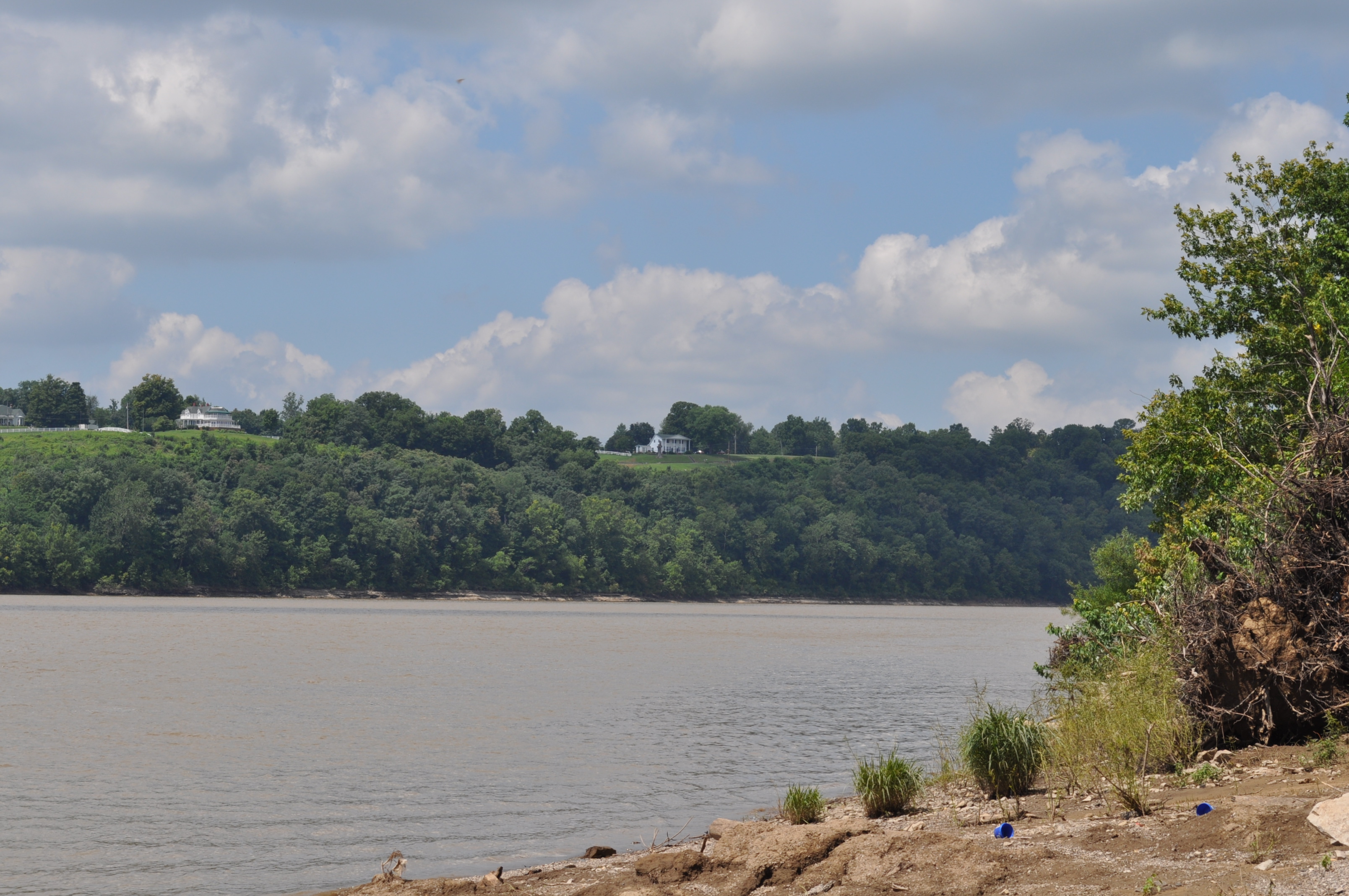
Morvin's Landing
Brandenburg's Riverfront Park from Morvin's Landing

69/365
67/365

Winter Sunset KY 2

29/365

27/365

7/365

20/365

10/365

Orchard in the sun
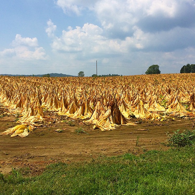
Tobacco field in KY #tobbaco #field #photography
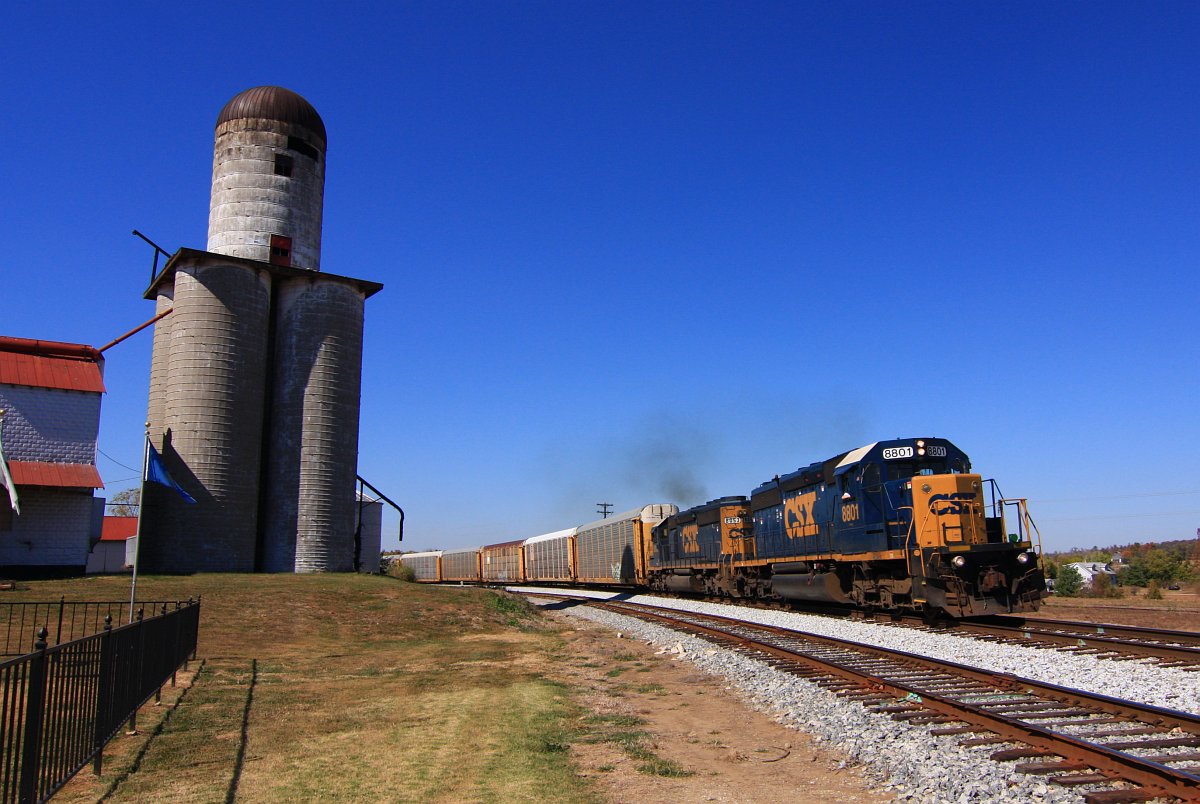
CSX 8801 Q247 Irvington KY 09 Oct 2010

The Iron Mountain Road..

50/365

Winter Sunset

Sunset 12/8 Ky

Ohio River Sunset 2
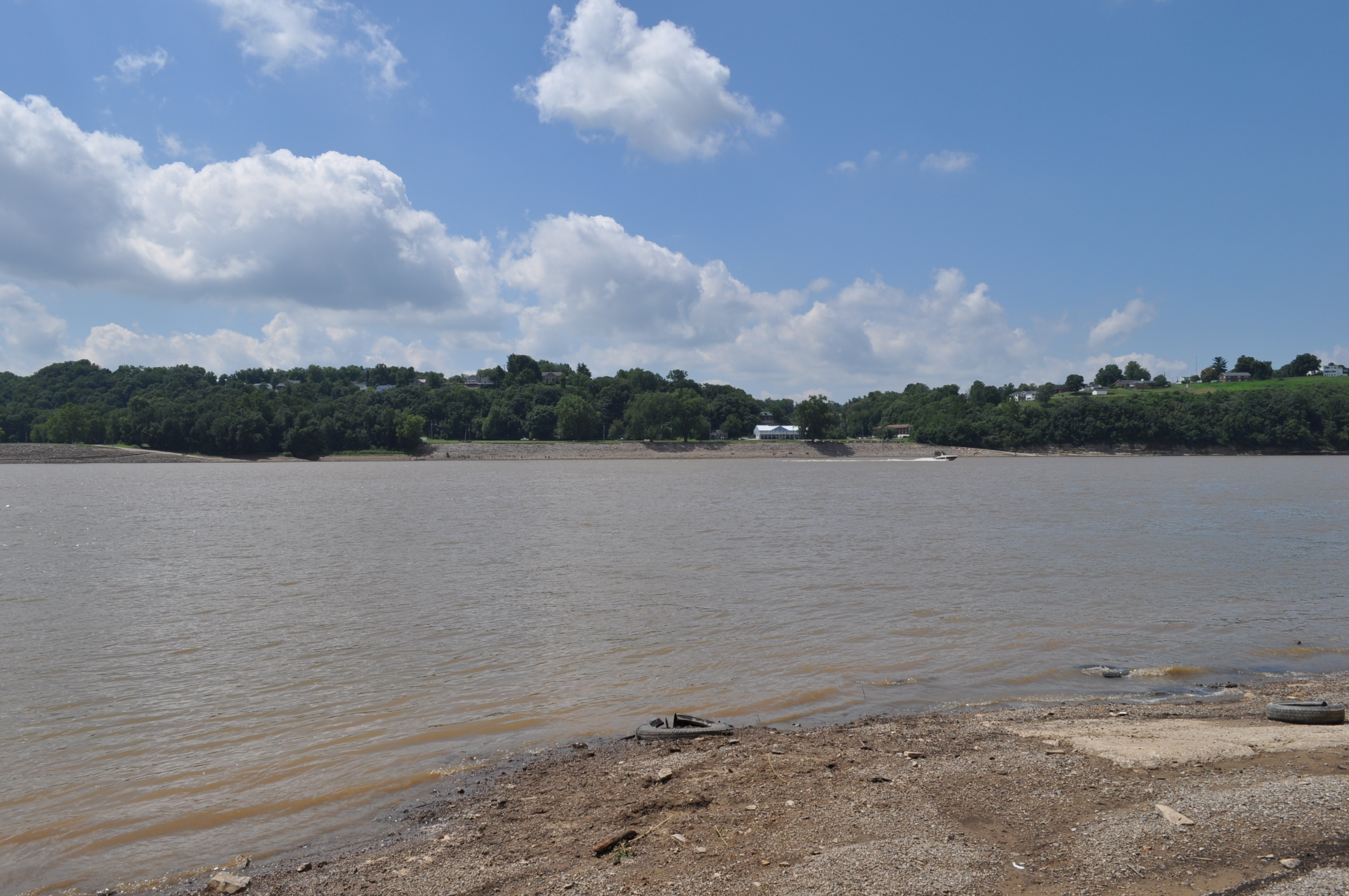
Near Morvin's Landing
20080321-0015

Ohio River Sunset 4
Topographic Map of Payneville, KY, USA
Find elevation by address:

Places in Payneville, KY, USA:
Places near Payneville, KY, USA:
4205 Old Sirocco Rd
Rhodelia Rd, Payneville, KY, USA
Battletown
Rhodes Rd, Rhodelia, KY, USA
Rhodelia
New Amsterdam
Washington Township
Brandenburg
Unison Rd, Cannelton, IN, USA
Alton
N Oak St, Leavenworth, IN, USA
6663 E Archibald Falls Rd
Heth Township
2663 E Archibald Falls Rd
8490 Big Bend Rd
Magnet
Union Township
Ohio Township
Chenault Rd, Stephensport, KY, USA
Lodge At Buzzard Roost
Recent Searches:
- Elevation of Erika Dr, Windsor, CA, USA
- Elevation of Village Ln, Finleyville, PA, USA
- Elevation of 24 Oakland Rd #, Scotland, ON N0E 1R0, Canada
- Elevation of Deep Gap Farm Rd E, Mill Spring, NC, USA
- Elevation of Dog Leg Dr, Minden, NV, USA
- Elevation of Dog Leg Dr, Minden, NV, USA
- Elevation of Kambingan Sa Pansol Atbp., Purok 7 Pansol, Candaba, Pampanga, Philippines
- Elevation of Pinewood Dr, New Bern, NC, USA
- Elevation of Mountain View, CA, USA
- Elevation of Foligno, Province of Perugia, Italy