Elevation of Unison Rd, Cannelton, IN, USA
Location: United States > Indiana > Perry County > Union Township >
Longitude: -86.438653
Latitude: 38.066511
Elevation: 128m / 420feet
Barometric Pressure: 100KPa
Elevation Map:
Satellite Map:
Related Photos:

Fancy Ironwork
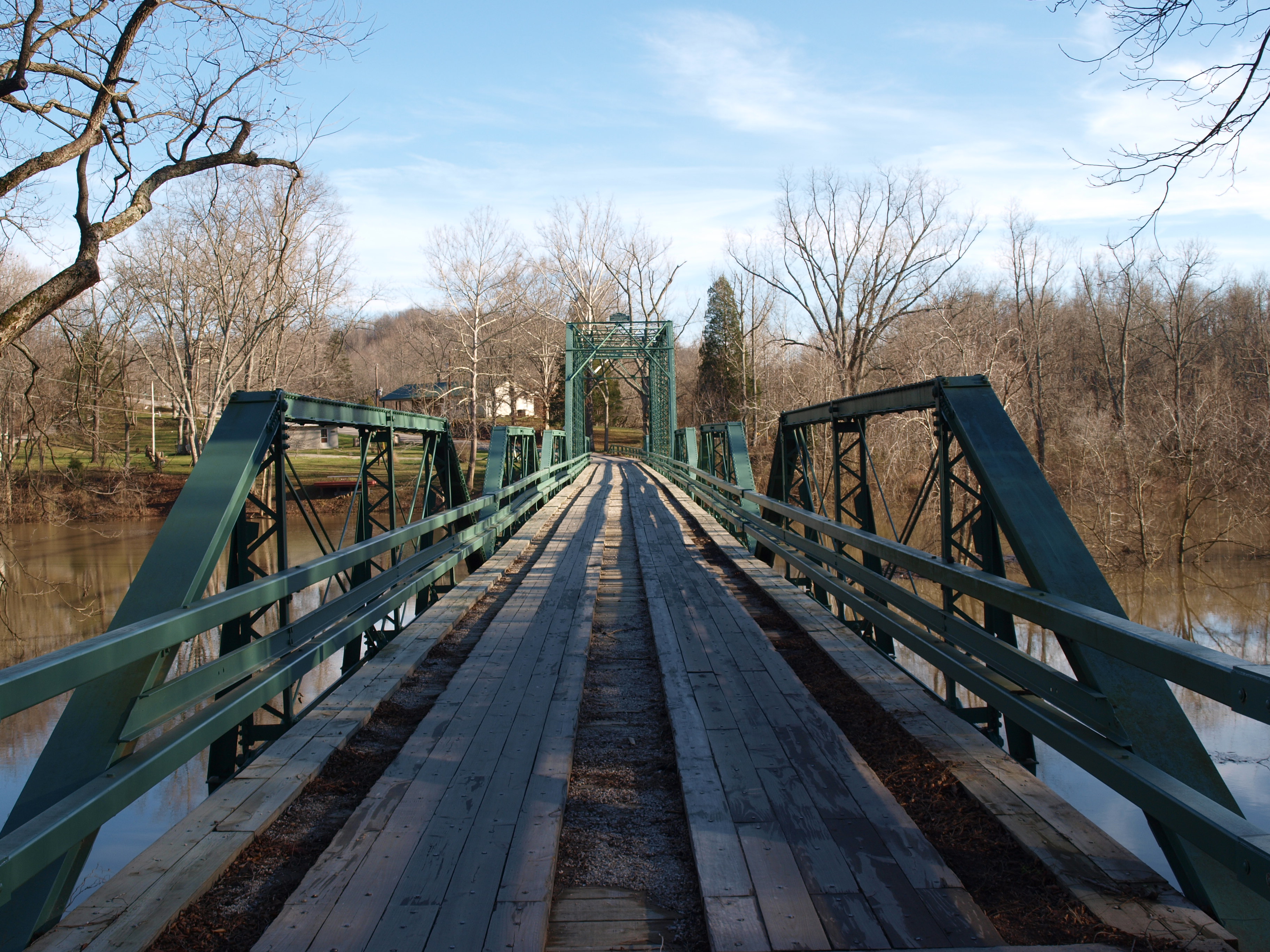
Alton Bridge barrel view, Crawford County, IN
deck view

View From The Grave.
Picture Window
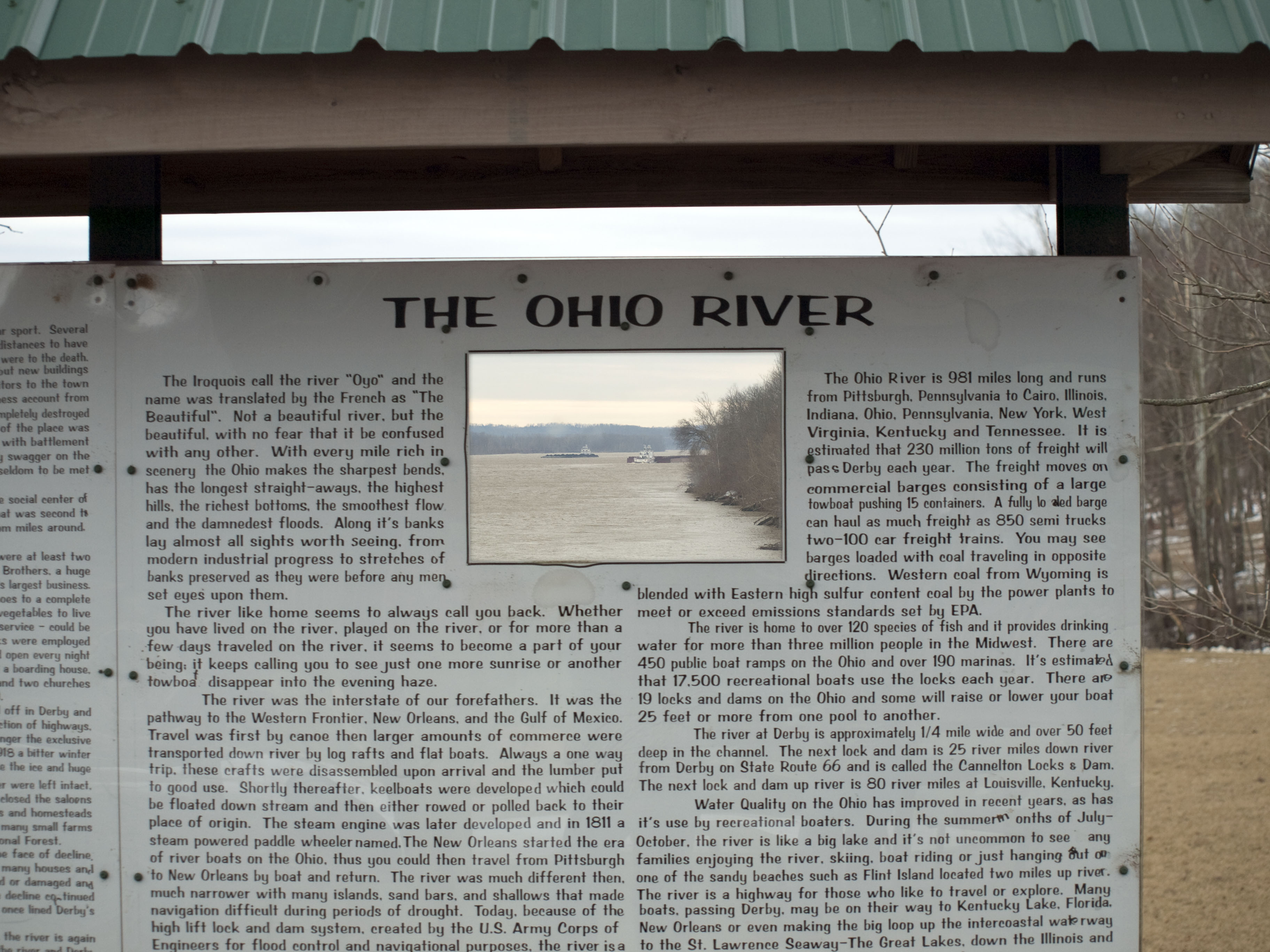
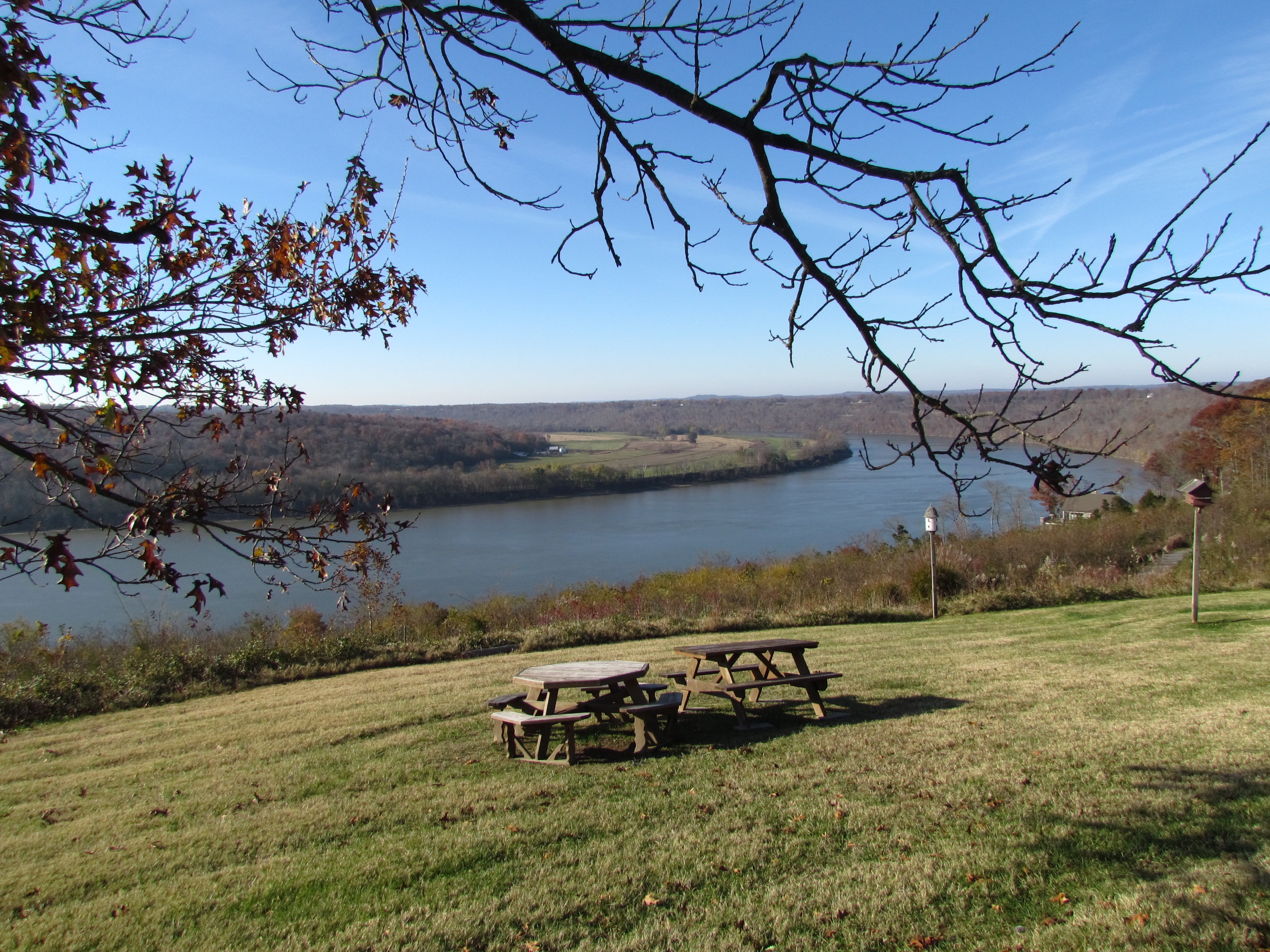
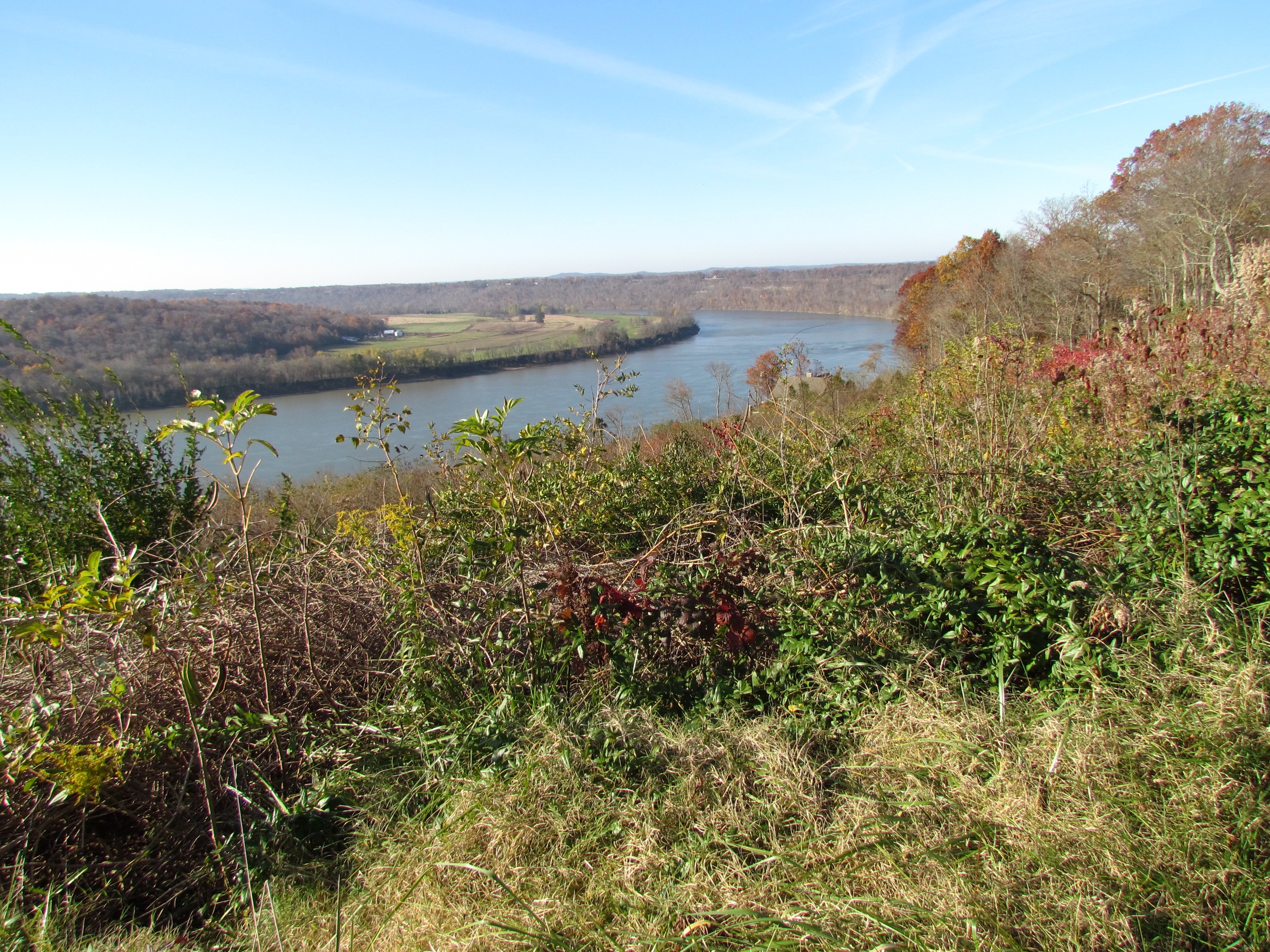
Ohio River
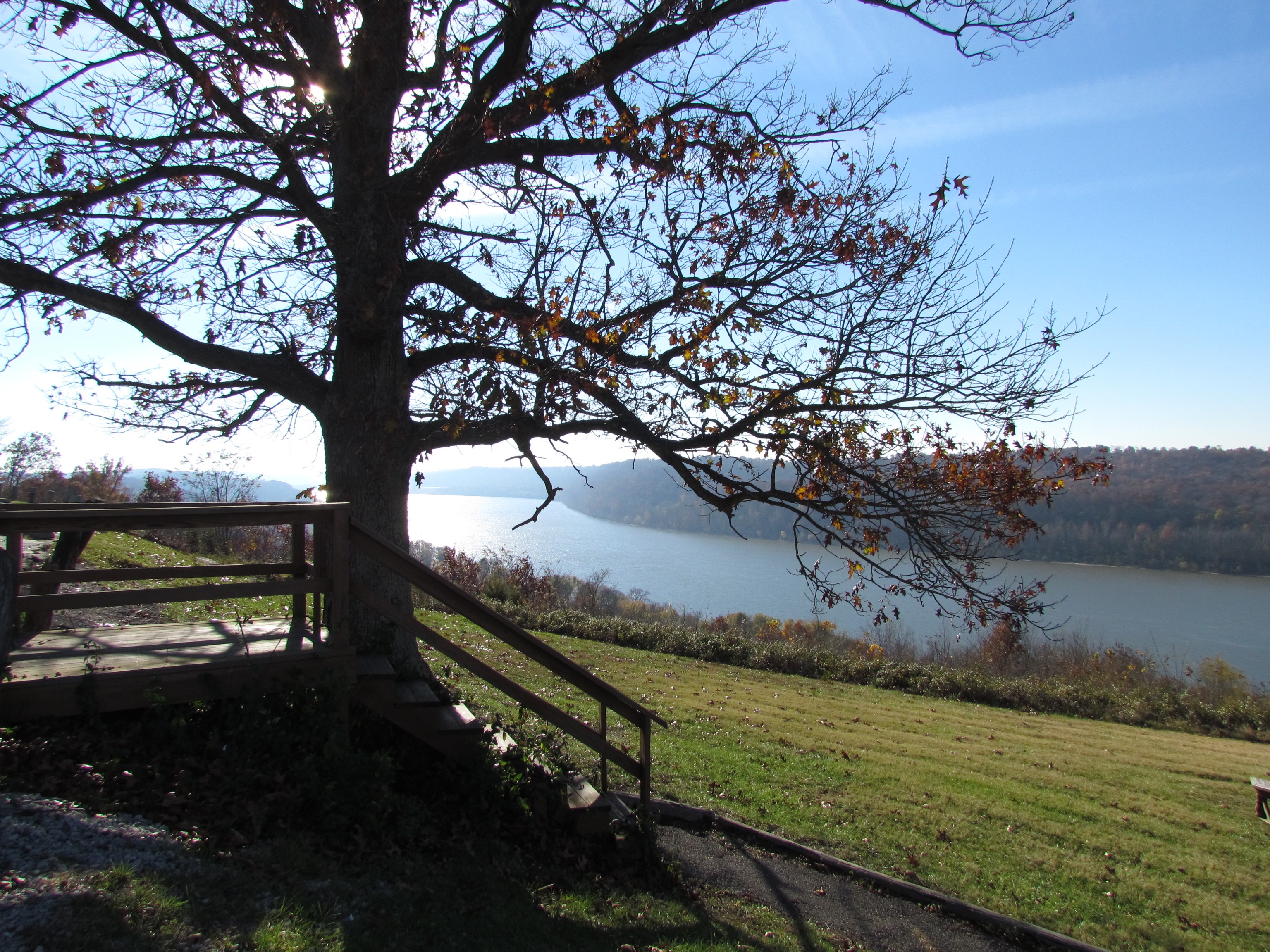
Ohio River
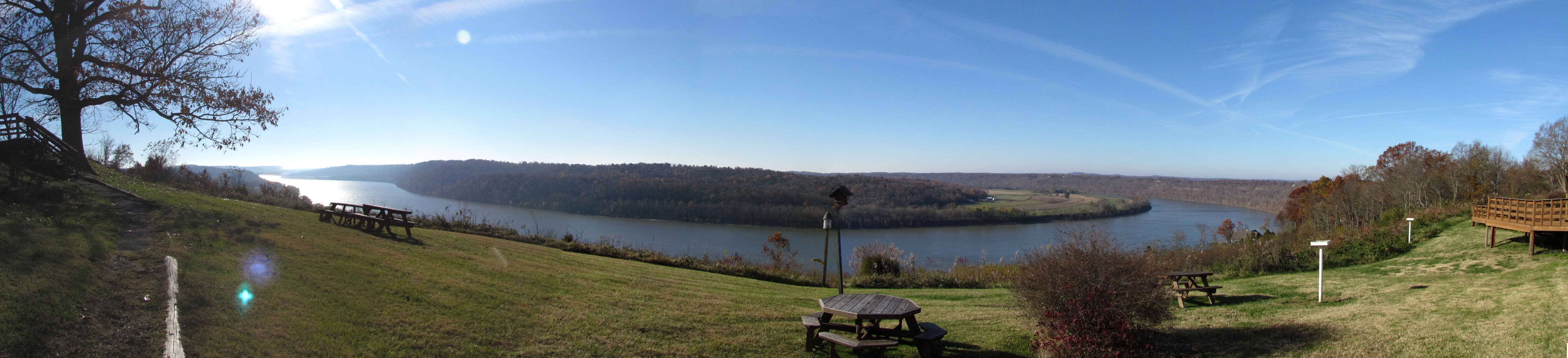
Ohio River at Leavenworth, Indiana
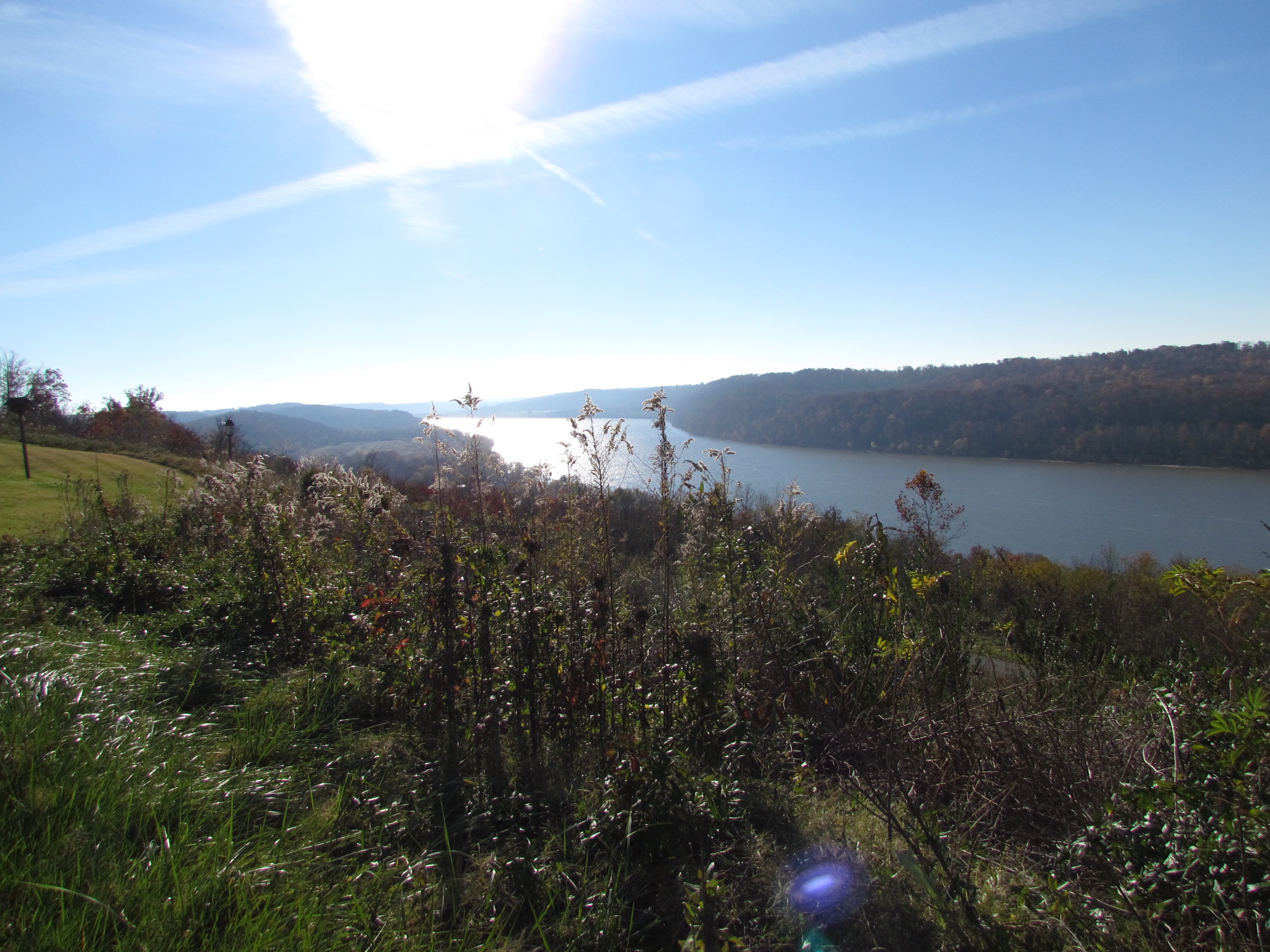
Ohio River
Ohio River, Leavenworth Indiana
Ohio River in Leavenworth, Indiana

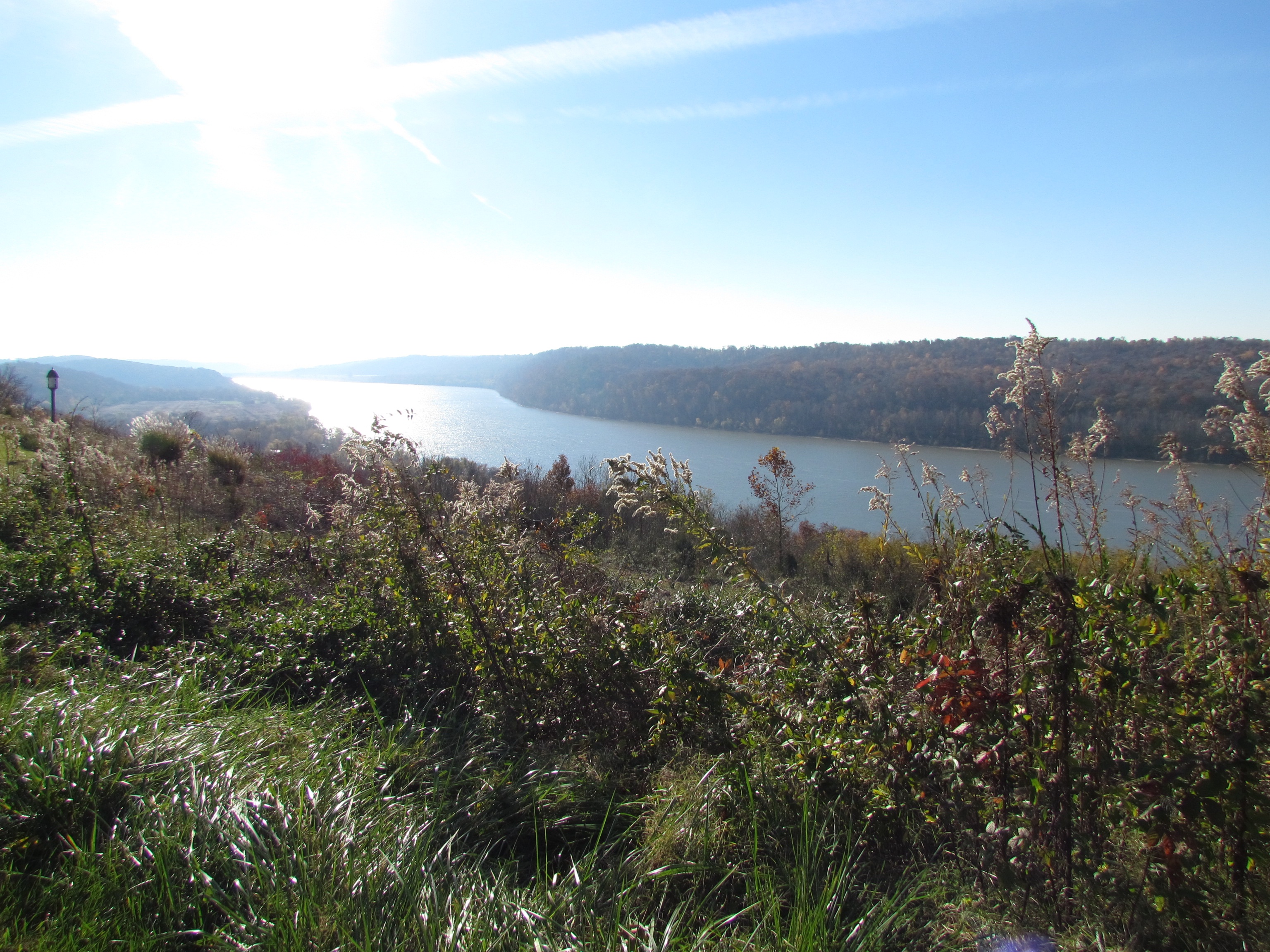
Ohio River

Bicycling Over Bridges 140-14
The Iron Mountain Road..

Orchard in the sun

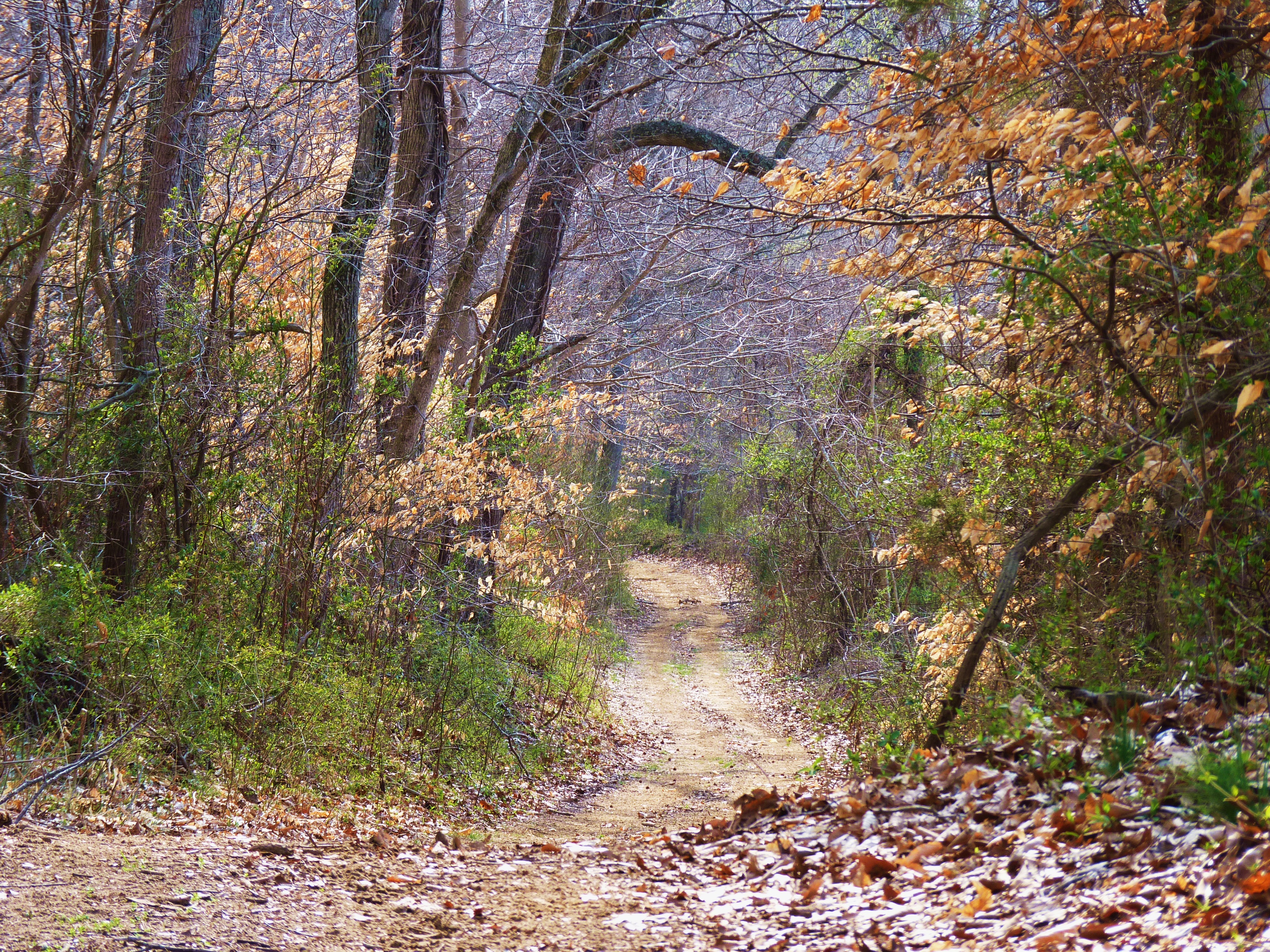
down by the river

Bicycling Over Bridges 143-14

Bicycling Over Bridges 143-13

West Leopold Circle Road Bridge, Perry County, IN

cloud mirror

Ohio River Scenic Byway (Perry County, Indiana)

sunrise over the ohio river

Bicycling Over Bridges 142-31

Bicycling Over Bridges 142-08
Topographic Map of Unison Rd, Cannelton, IN, USA
Find elevation by address:

Places near Unison Rd, Cannelton, IN, USA:
Magnet
Union Township
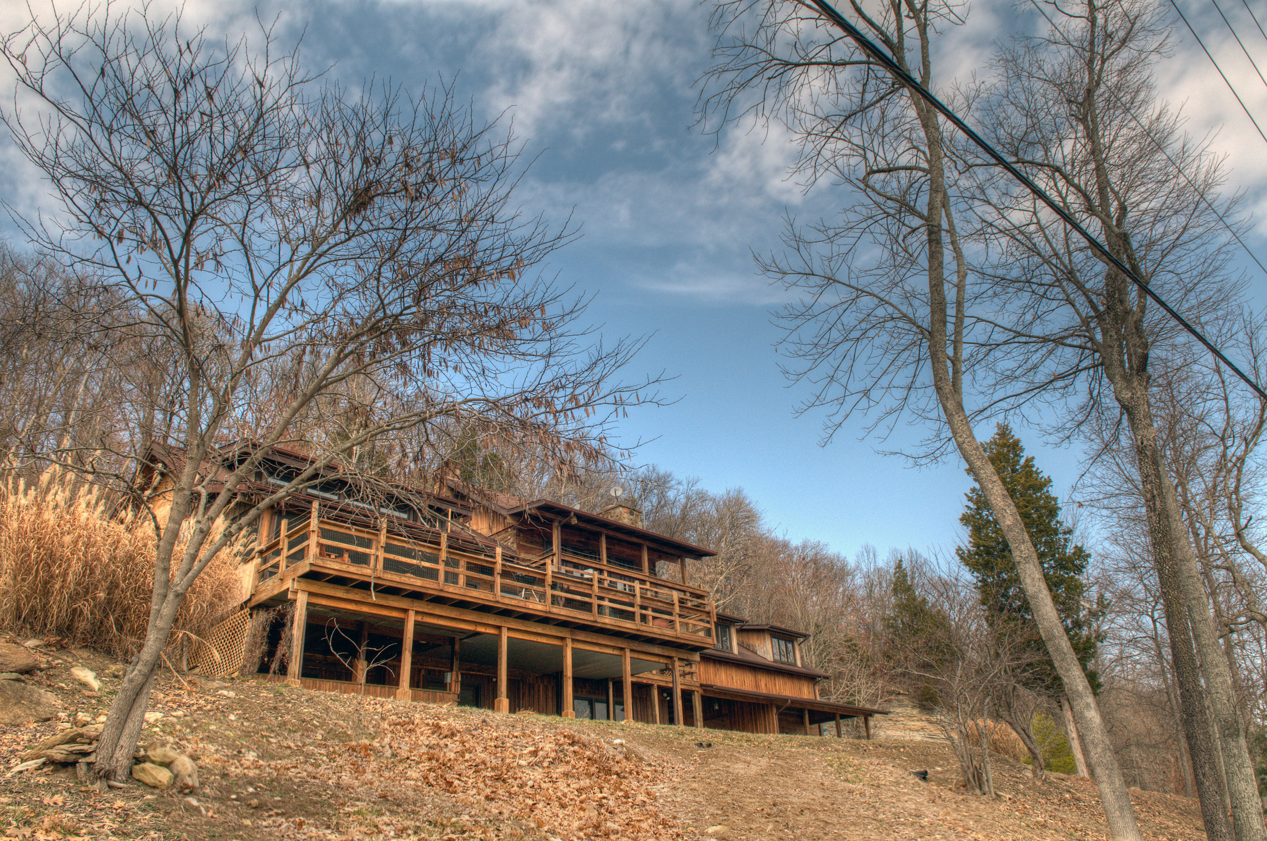
Lodge At Buzzard Roost
Alton
N Oak St, Leavenworth, IN, USA
Rhodes Rd, Rhodelia, KY, USA
Rhodelia
Buzzard Roost Lookout Tower
Rhodelia Rd, Payneville, KY, USA
2663 E Archibald Falls Rd
Chenault Rd, Stephensport, KY, USA
Boone Township
S Vetters Rd, Leavenworth, IN, USA
6663 E Archibald Falls Rd
Ohio Township
Oliver Rd, Leopold, IN, USA
E McClure Rd, Leavenworth, IN, USA
8490 Big Bend Rd
IN-66, English, IN, USA
Battletown
Recent Searches:
- Elevation of Felindre, Swansea SA5 7LU, UK
- Elevation of Leyte Industrial Development Estate, Isabel, Leyte, Philippines
- Elevation of W Granada St, Tampa, FL, USA
- Elevation of Pykes Down, Ivybridge PL21 0BY, UK
- Elevation of Jalan Senandin, Lutong, Miri, Sarawak, Malaysia
- Elevation of Bilohirs'k
- Elevation of 30 Oak Lawn Dr, Barkhamsted, CT, USA
- Elevation of Luther Road, Luther Rd, Auburn, CA, USA
- Elevation of Unnamed Road, Respublika Severnaya Osetiya — Alaniya, Russia
- Elevation of Verkhny Fiagdon, North Ossetia–Alania Republic, Russia