Elevation of Battletown, KY, USA
Location: United States > Kentucky > Meade County >
Longitude: -86.293863
Latitude: 38.063956
Elevation: 212m / 696feet
Barometric Pressure: 99KPa
Elevation Map:
Satellite Map:
Related Photos:

Harrison-Crawford State Forest

Just a reminder of what Summer looks like
Leavenworth, Indiana

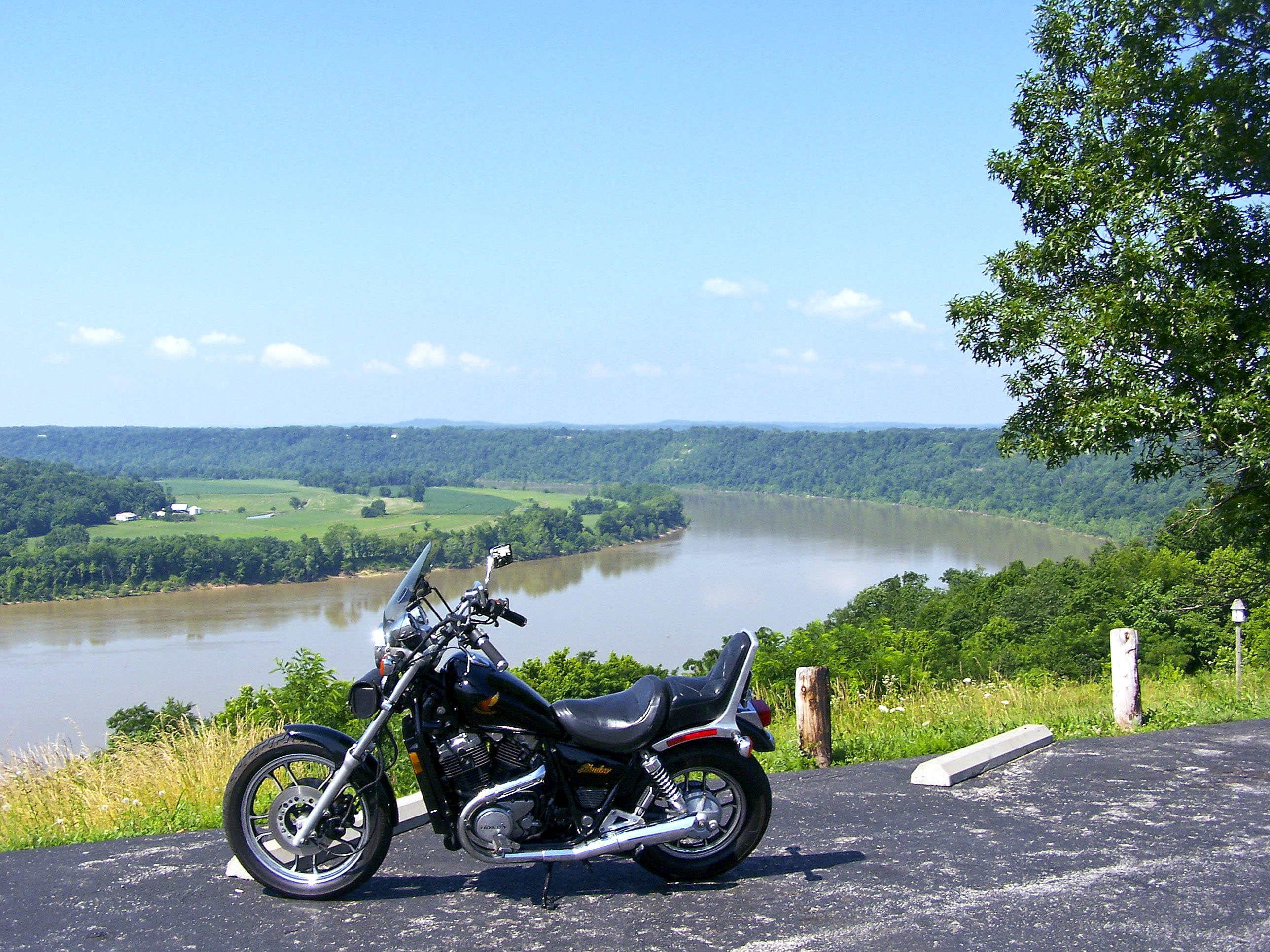
Beautiful Day in Kentuckiana

A Pier-ances

Rimstone Dam

Grist Mill

Fire Tower Panorama

Fancy Ironwork

Shot for Scale

Walk way

Leavenworth, Indiana- 2017

View of Cincinnati

View Down River from Shelter House Two

Great view

Views From The Fire Tower

Shelter House 2 Views

Valley View Road Fall

Valley View Road Fall

Views From The Fire Tower

View Down River from Shelter House Two

Into the Cave.........

Orchard in the sun

Matthew E. Welsh Bridge

Matthew E. Welsh Bridge

Ohio River at Leavenworth, IN

Squire Boone Caverns, IN

Squire Boone Caverns, IN

Squire Boone Caverns, IN

Squire Boone Caverns, IN

Squire Boone Caverns, IN

Squire Boone Caverns, IN

Squire Boone Caverns, IN

Horseshoe Bend

The Pasture

Want to Come Out To Play?

Karst Kountry
Topographic Map of Battletown, KY, USA
Find elevation by address:

Places near Battletown, KY, USA:
New Amsterdam
4205 Old Sirocco Rd
Washington Township
Payneville
Rhodelia Rd, Payneville, KY, USA
6663 E Archibald Falls Rd
8490 Big Bend Rd
Rhodes Rd, Rhodelia, KY, USA
N Oak St, Leavenworth, IN, USA
Alton
1153 Old State Hwy 62
Rhodelia
Heth Township
Ohio Township
Brandenburg
2663 E Archibald Falls Rd
IN-, Corydon, IN, USA
Unison Rd, Cannelton, IN, USA
Leavenworth
E McClure Rd, Leavenworth, IN, USA
Recent Searches:
- Elevation of Dog Leg Dr, Minden, NV, USA
- Elevation of Dog Leg Dr, Minden, NV, USA
- Elevation of Kambingan Sa Pansol Atbp., Purok 7 Pansol, Candaba, Pampanga, Philippines
- Elevation of Pinewood Dr, New Bern, NC, USA
- Elevation of Mountain View, CA, USA
- Elevation of Foligno, Province of Perugia, Italy
- Elevation of Blauwestad, Netherlands
- Elevation of Bella Terra Blvd, Estero, FL, USA
- Elevation of Estates Loop, Priest River, ID, USA
- Elevation of Woodland Oak Pl, Thousand Oaks, CA, USA