Elevation of Union Township, IN, USA
Location: United States > Indiana > Perry County >
Longitude: -86.479435
Latitude: 38.0740388
Elevation: 131m / 430feet
Barometric Pressure: 100KPa
Elevation Map:
Satellite Map:
Related Photos:
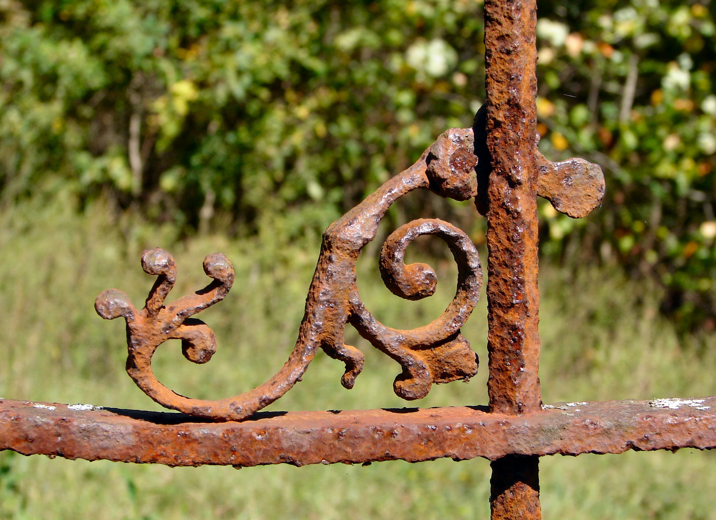
Fancy Ironwork
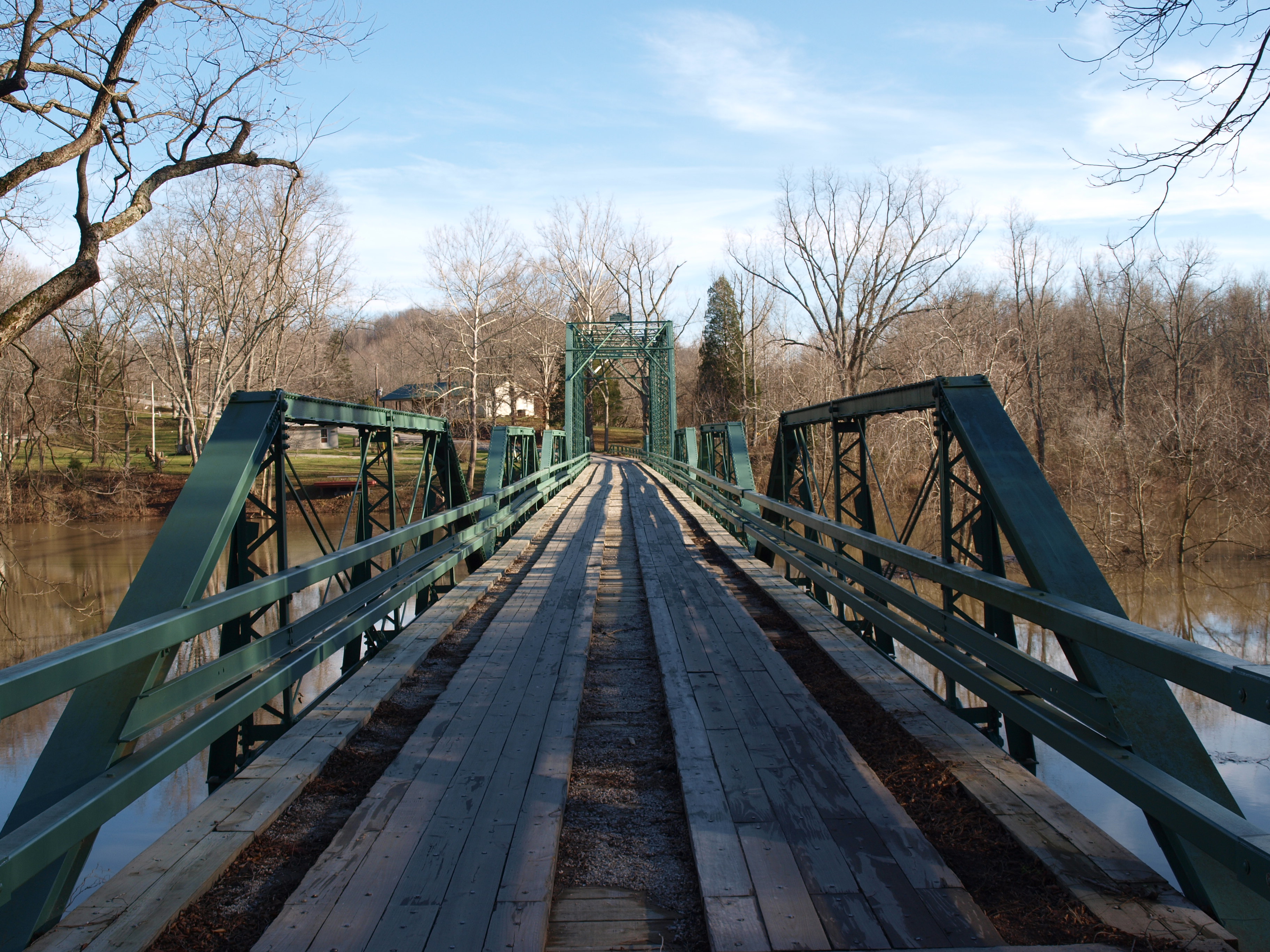
Alton Bridge barrel view, Crawford County, IN
deck view

View From The Grave.
Picture Window
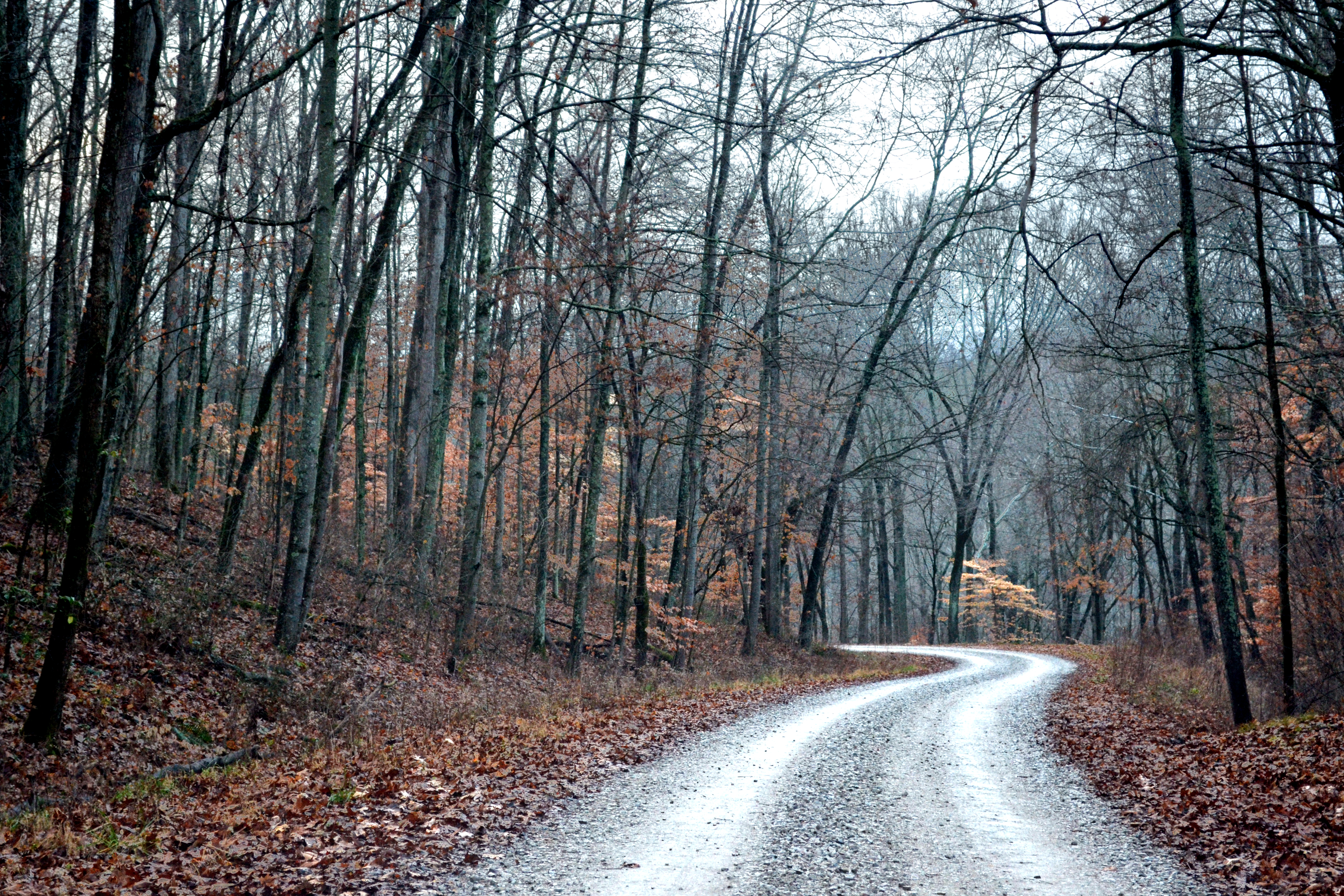
Forest Road

Bicycling Over Bridges 140-14
The Iron Mountain Road..

down by the river

Bicycling Over Bridges 143-14

Bicycling Over Bridges 143-13

West Leopold Circle Road Bridge, Perry County, IN

cloud mirror

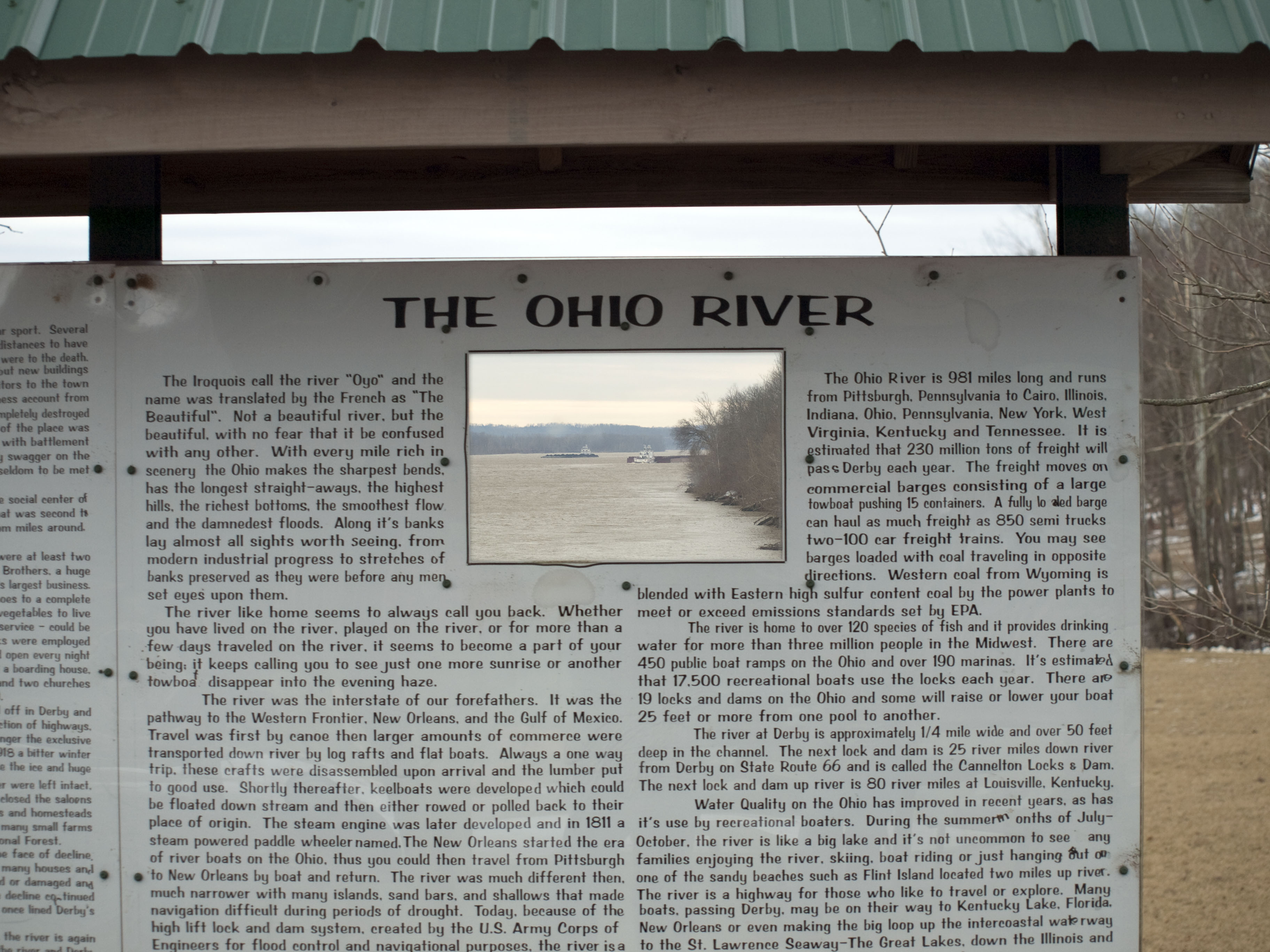
Ohio River Scenic Byway (Perry County, Indiana)

sunrise over the ohio river

Bicycling Over Bridges 142-31

Bicycling Over Bridges 142-08
Topographic Map of Union Township, IN, USA
Find elevation by address:

Places in Union Township, IN, USA:
Places near Union Township, IN, USA:
Magnet
Lodge At Buzzard Roost
Unison Rd, Cannelton, IN, USA
Buzzard Roost Lookout Tower
Chenault Rd, Stephensport, KY, USA
Alton
N Oak St, Leavenworth, IN, USA
Boone Township
Rhodelia
Rhodes Rd, Rhodelia, KY, USA
2663 E Archibald Falls Rd
Oliver Rd, Leopold, IN, USA
S Vetters Rd, Leavenworth, IN, USA
Rhodelia Rd, Payneville, KY, USA
Oil Township
11473 In-70
Ohio Township
6663 E Archibald Falls Rd
Branchville
Leopold Township
Recent Searches:
- Elevation of Hercules Dr, Colorado Springs, CO, USA
- Elevation of Szlak pieszy czarny, Poland
- Elevation of Griffing Blvd, Biscayne Park, FL, USA
- Elevation of Kreuzburger Weg 13, Düsseldorf, Germany
- Elevation of Gateway Blvd SE, Canton, OH, USA
- Elevation of East W.T. Harris Boulevard, E W.T. Harris Blvd, Charlotte, NC, USA
- Elevation of West Sugar Creek, Charlotte, NC, USA
- Elevation of Wayland, NY, USA
- Elevation of Steadfast Ct, Daphne, AL, USA
- Elevation of Lagasgasan, X+CQH, Tiaong, Quezon, Philippines