Elevation of Palo Alto County, IA, USA
Location: United States > Iowa >
Longitude: -94.645035
Latitude: 43.1580878
Elevation: 378m / 1240feet
Barometric Pressure: 97KPa
Elevation Map:
Satellite Map:
Related Photos:

Iowa Cabin

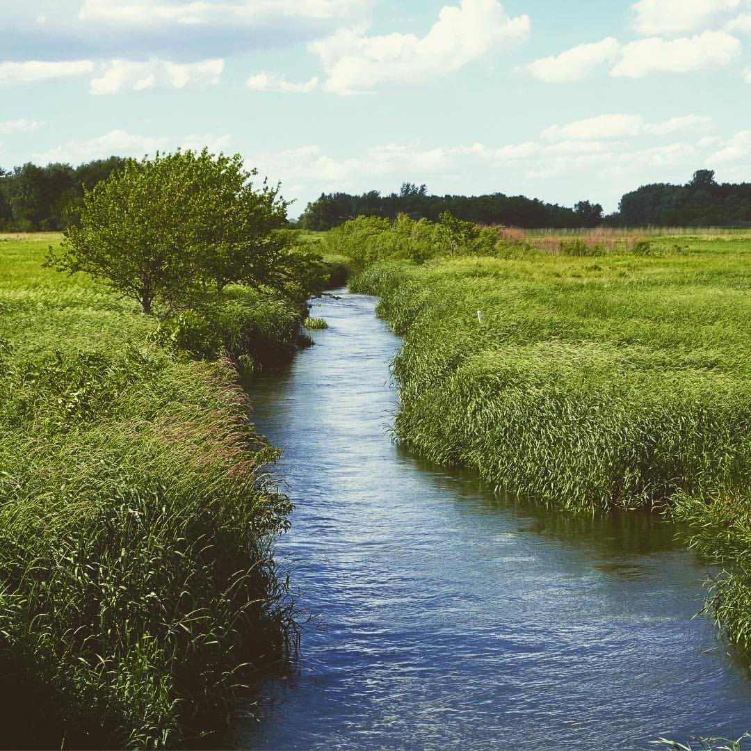
06-12 sunset dock

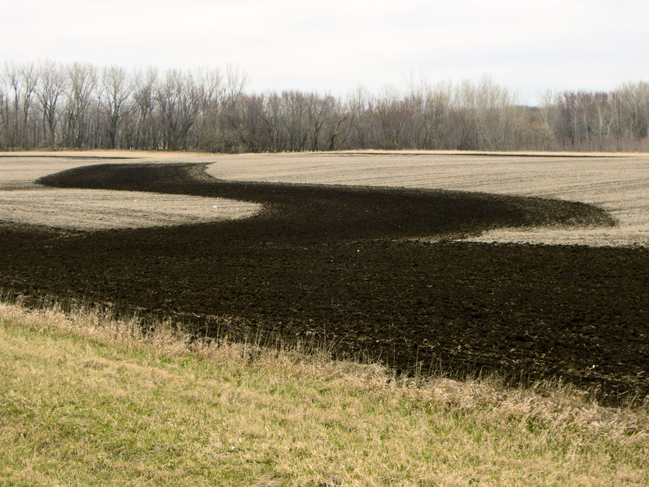
April 23 reflected set

2014-06-28 19.21.38

1112 ansel island
Cylinder, Iowa 158/365 #cylinder #iowa #project365 #365
2014-06-28 19.23.24
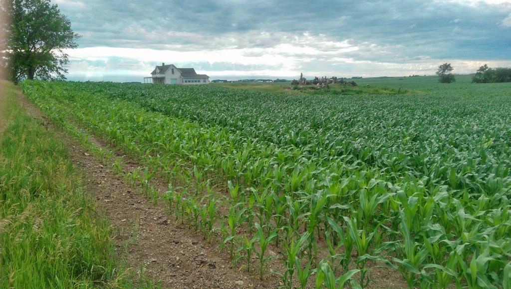
April 19 - open and waiting

The gathering crowd
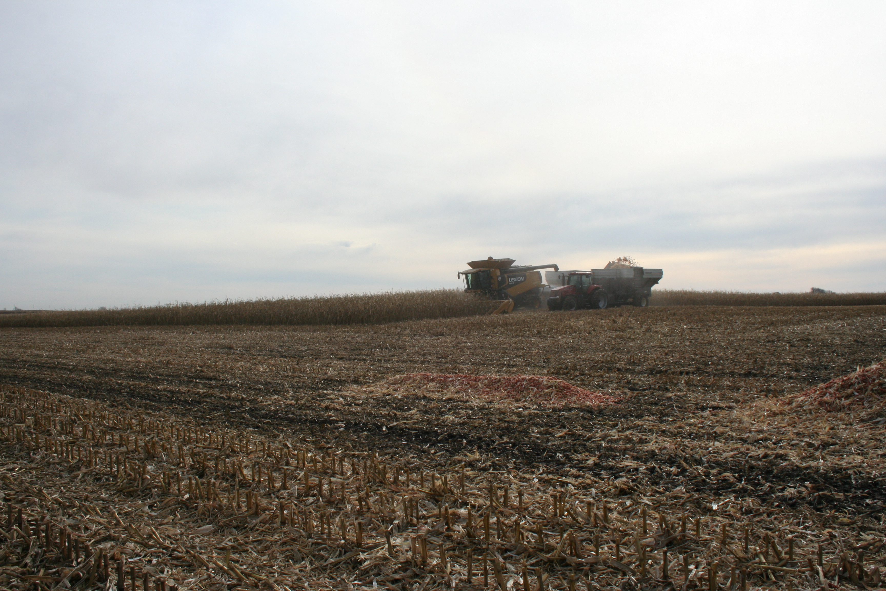
Cobs everywhere

Dumping cobs
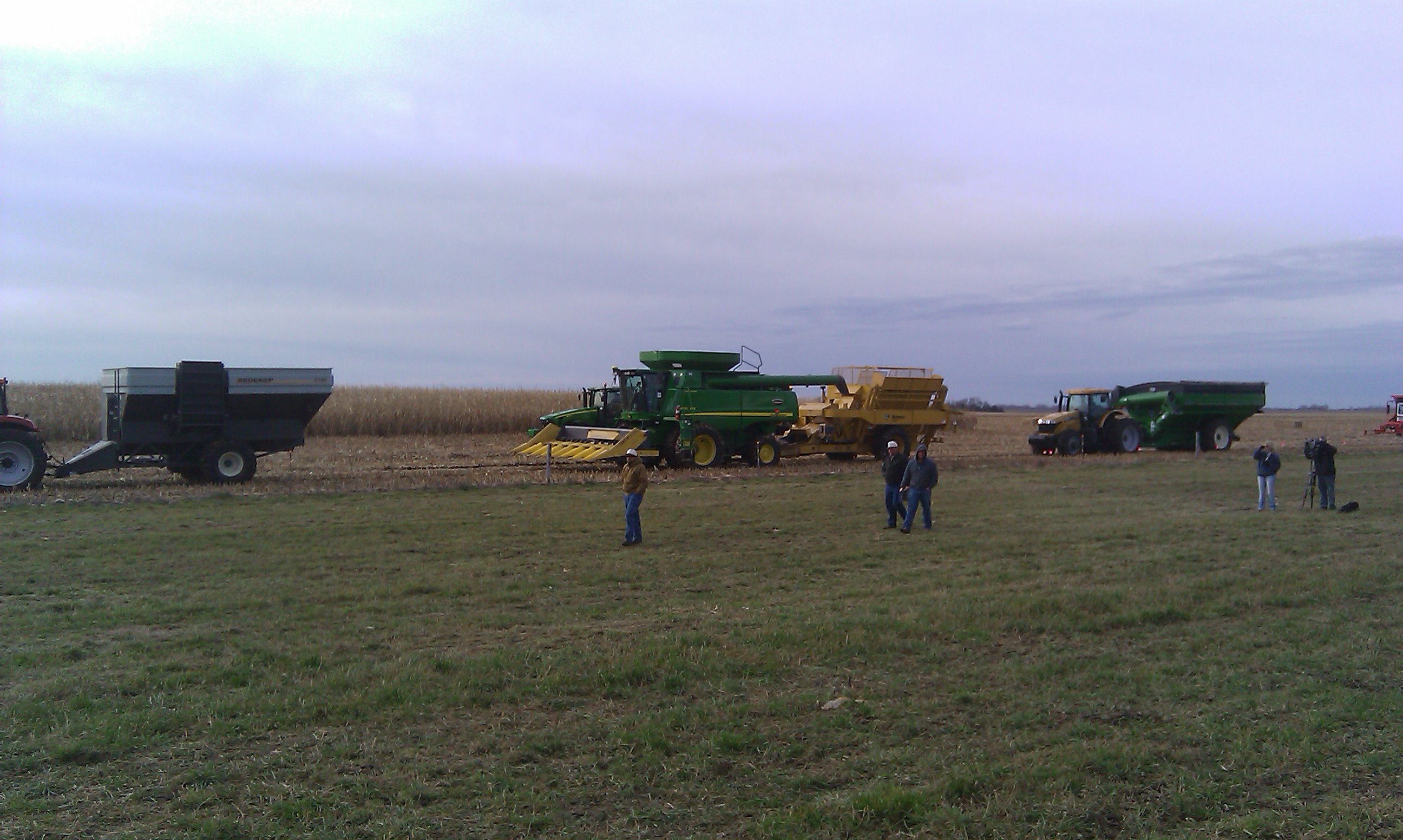
Cob harvesting equipment rolls into the field
Topographic Map of Palo Alto County, IA, USA
Find elevation by address:

Places in Palo Alto County, IA, USA:
Places near Palo Alto County, IA, USA:
Walnut
Graettinger
Robins St, Graettinger, IA, USA
Emmet County
Mallard
S East St, Mallard, IA, USA
Rush Lake
Armstrong Grove
Plover
th St, Rolfe, IA, USA
Armstrong
4th Ave, Armstrong, IA, USA
Powhatan
209 390th St
Seneca
Central Ave, Estherville, IA, USA
Estherville
Freeman
Lone Rock
Estherville
Recent Searches:
- Elevation of Corso Fratelli Cairoli, 35, Macerata MC, Italy
- Elevation of Tallevast Rd, Sarasota, FL, USA
- Elevation of 4th St E, Sonoma, CA, USA
- Elevation of Black Hollow Rd, Pennsdale, PA, USA
- Elevation of Oakland Ave, Williamsport, PA, USA
- Elevation of Pedrógão Grande, Portugal
- Elevation of Klee Dr, Martinsburg, WV, USA
- Elevation of Via Roma, Pieranica CR, Italy
- Elevation of Tavkvetili Mountain, Georgia
- Elevation of Hartfords Bluff Cir, Mt Pleasant, SC, USA