Elevation of Walnut, IA, USA
Location: United States > Iowa > Palo Alto County >
Longitude: -94.748451
Latitude: 43.2118337
Elevation: 374m / 1227feet
Barometric Pressure: 97KPa
Elevation Map:
Satellite Map:
Related Photos:
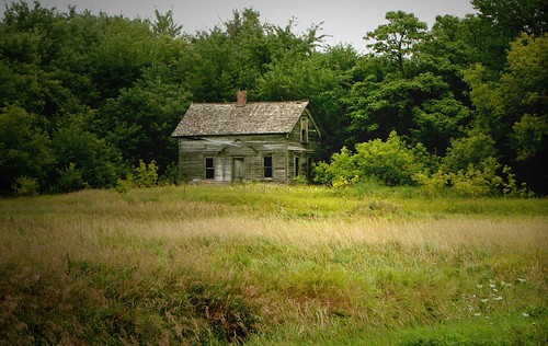
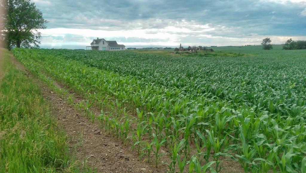
Abandoned Goodness Wrapped in Trees

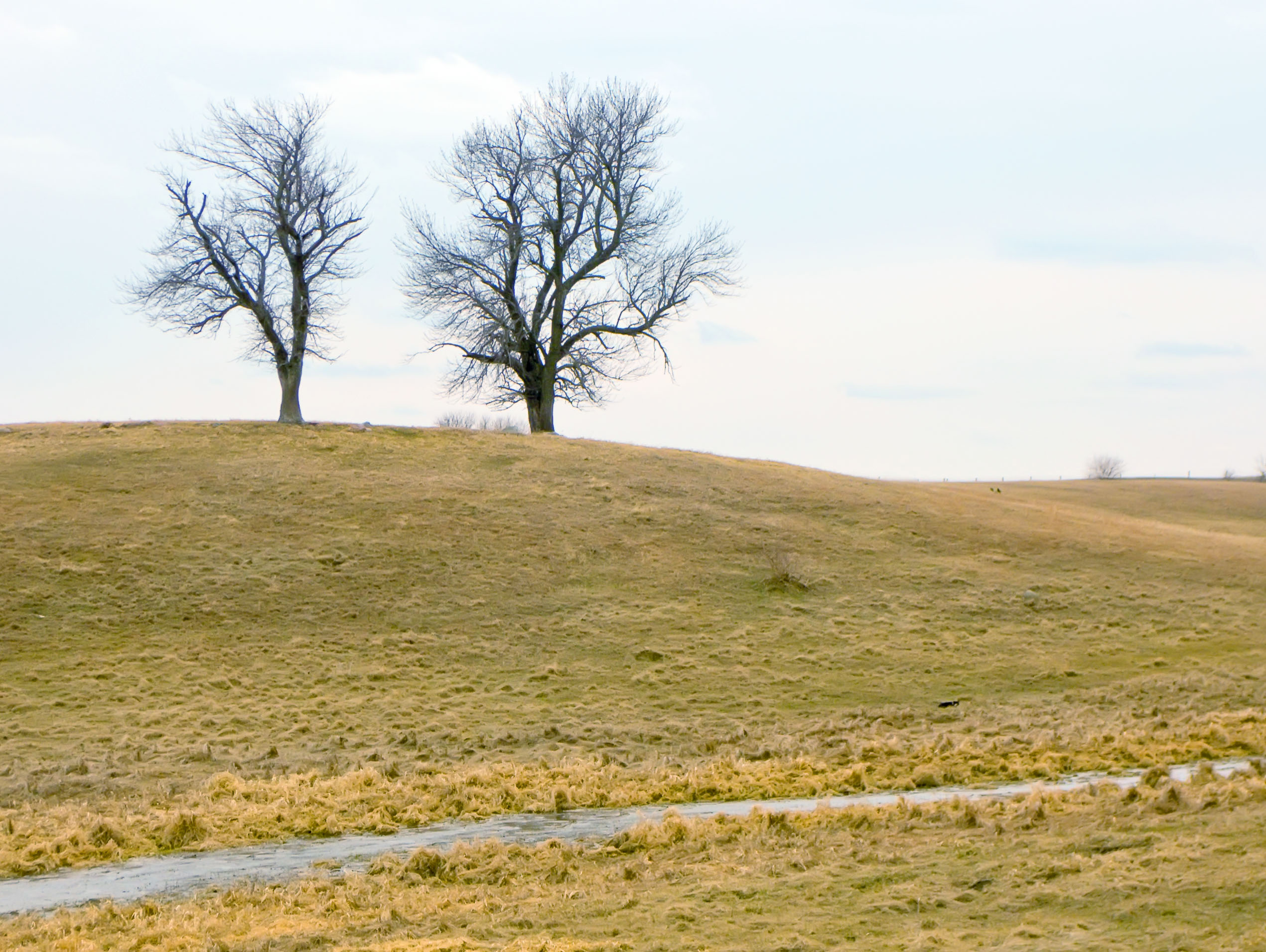
Hilly Scenery

Iowa Cabin

06-12 sunset dock
April 2 - Where's Waldo the Cat

April 23 reflected set

2014-06-28 19.21.38

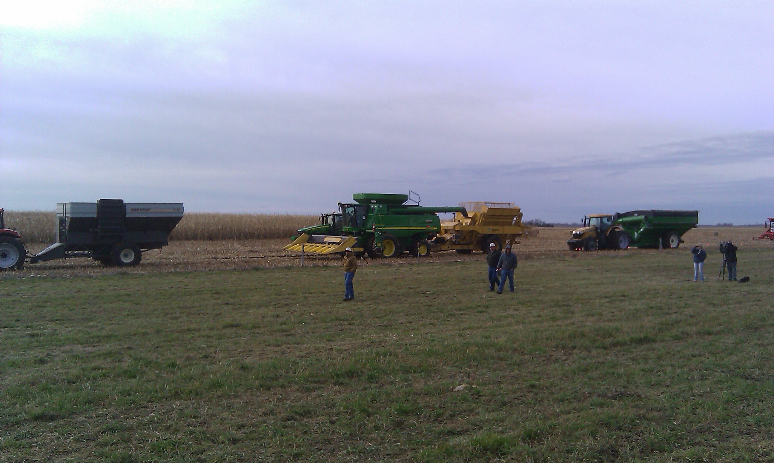
The gathering crowd

1112 ansel island
Cobs everywhere

Dumping cobs
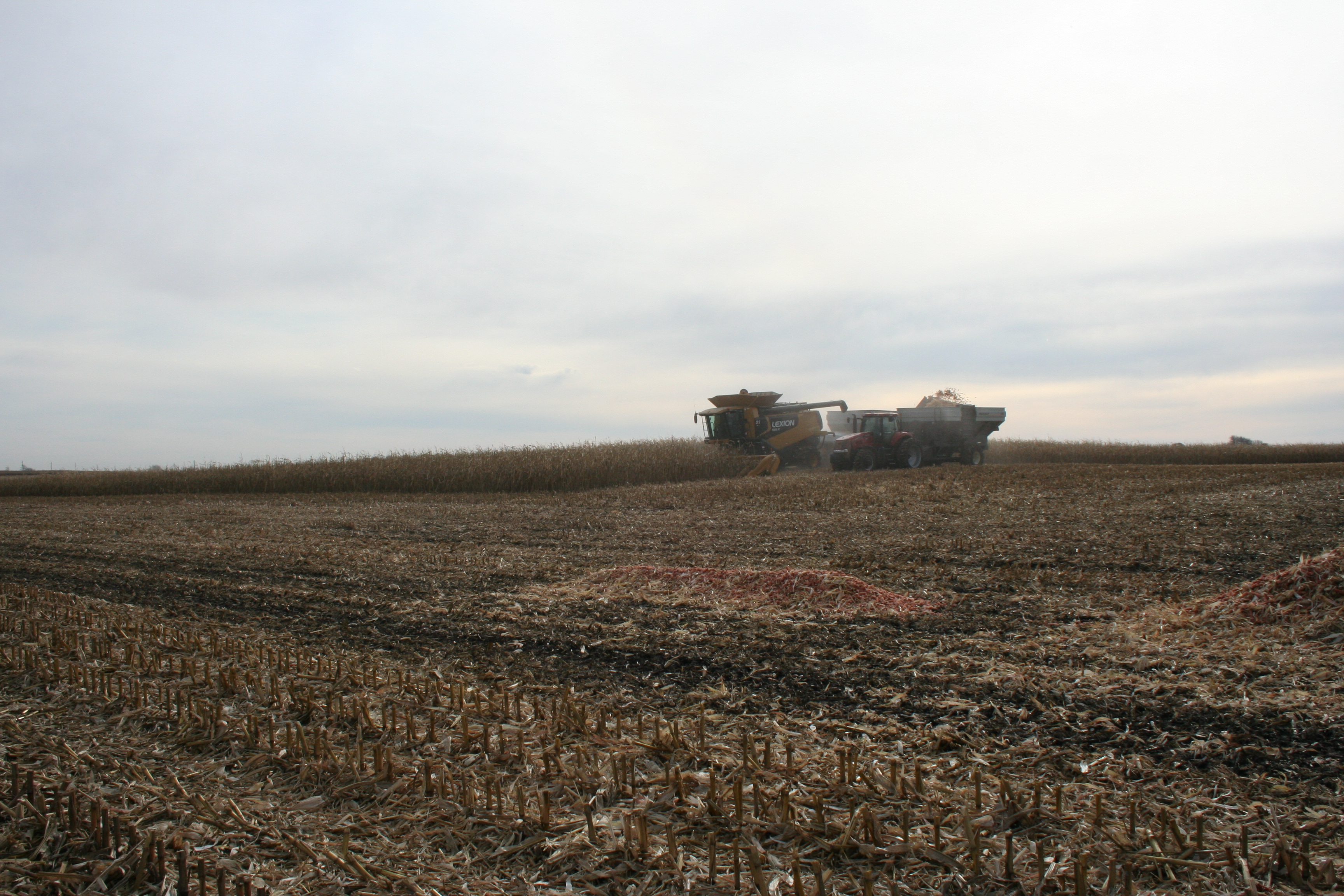
Cob harvesting equipment rolls into the field
2014-06-28 19.23.24
Topographic Map of Walnut, IA, USA
Find elevation by address:

Places in Walnut, IA, USA:
Places near Walnut, IA, USA:
Graettinger
Robins St, Graettinger, IA, USA
Palo Alto County
Emmet County
Central Ave, Estherville, IA, USA
Estherville
Lloyd
Freeman
Estherville
Terril
602 N 1st St
Rush Lake
Mallard
S East St, Mallard, IA, USA
1st St, Dickens, IA, USA
Dickens
Armstrong Grove
Garfield
4th Ave, Armstrong, IA, USA
Armstrong
Recent Searches:
- Elevation of Tenjo, Cundinamarca, Colombia
- Elevation of Côte-des-Neiges, Montreal, QC H4A 3J6, Canada
- Elevation of Bobcat Dr, Helena, MT, USA
- Elevation of Zu den Ihlowbergen, Althüttendorf, Germany
- Elevation of Badaber, Peshawar, Khyber Pakhtunkhwa, Pakistan
- Elevation of SE Heron Loop, Lincoln City, OR, USA
- Elevation of Slanický ostrov, 01 Námestovo, Slovakia
- Elevation of Spaceport America, Co Rd A, Truth or Consequences, NM, USA
- Elevation of Warwick, RI, USA
- Elevation of Fern Rd, Whitmore, CA, USA