Elevation of Emmet County, IA, USA
Location: United States > Iowa >
Longitude: -94.686378
Latitude: 43.34943
Elevation: 390m / 1280feet
Barometric Pressure: 97KPa
Elevation Map:
Satellite Map:
Related Photos:

Hilly Scenery
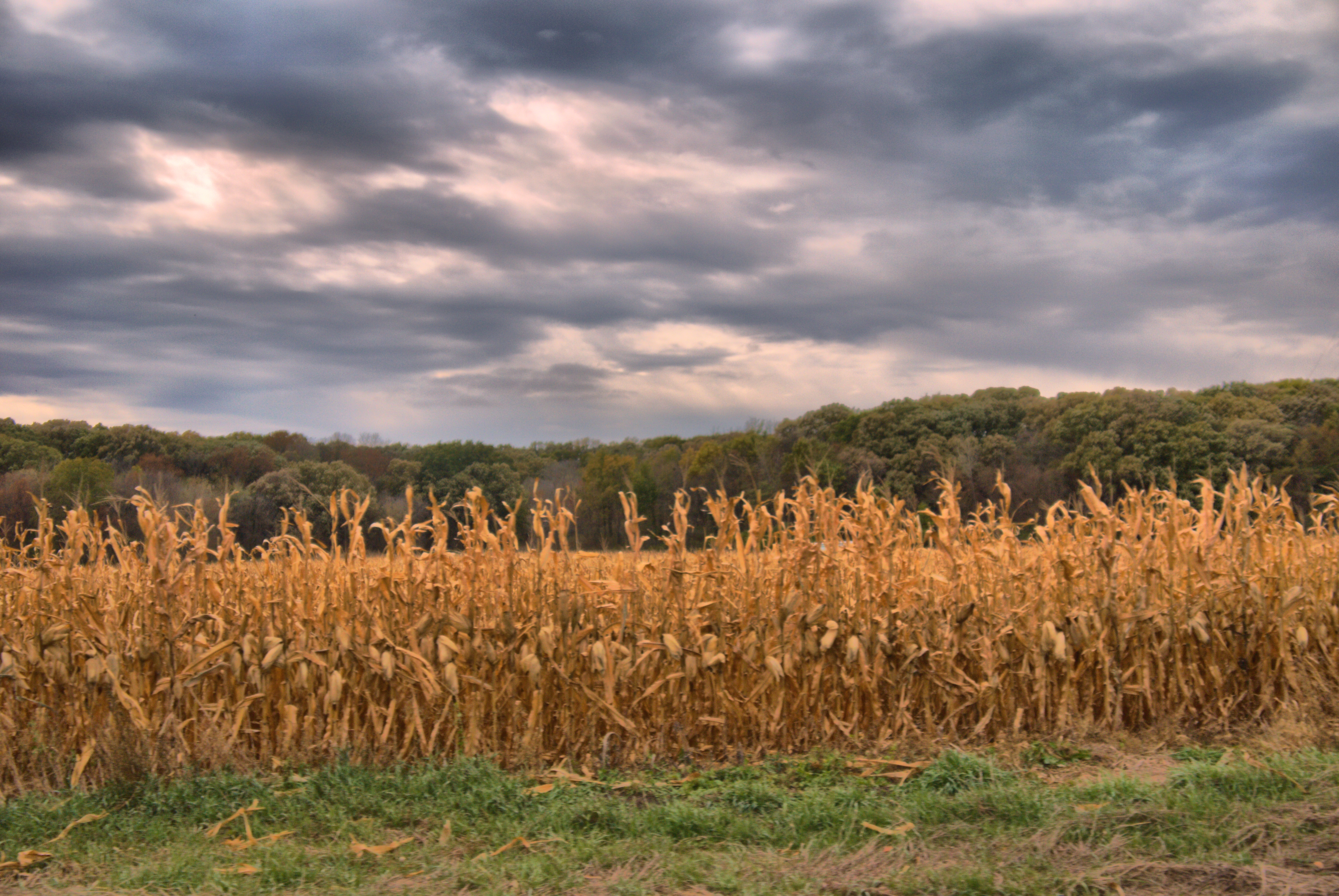
Corn Field
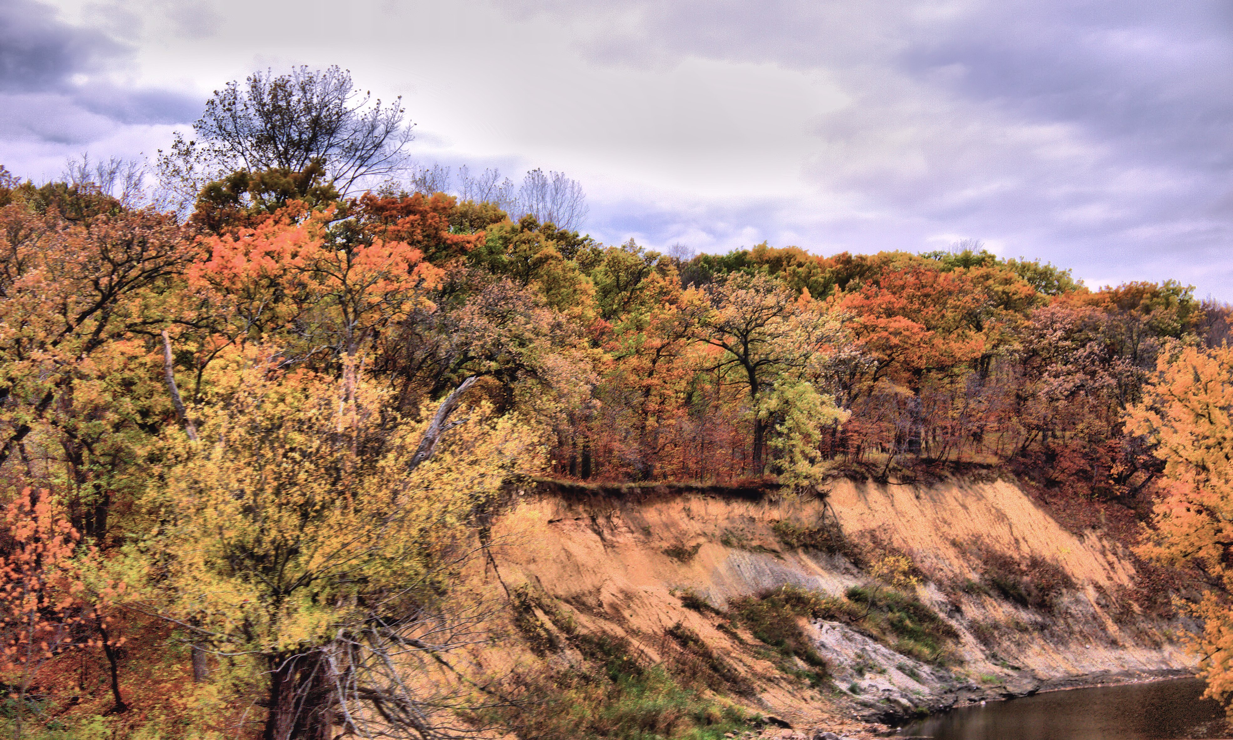
Fall Colors by the creek

Bridge 460-05
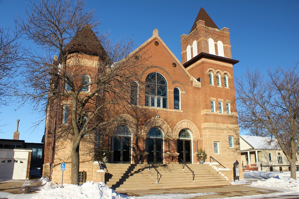
First Presbyterian Church - Estherville, IA
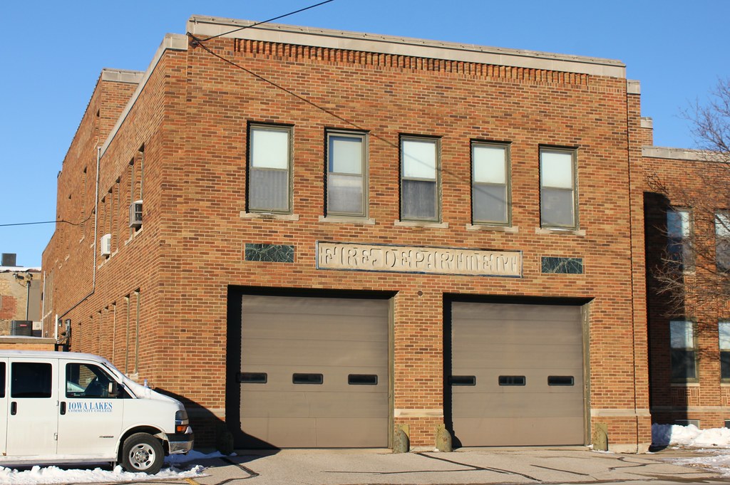
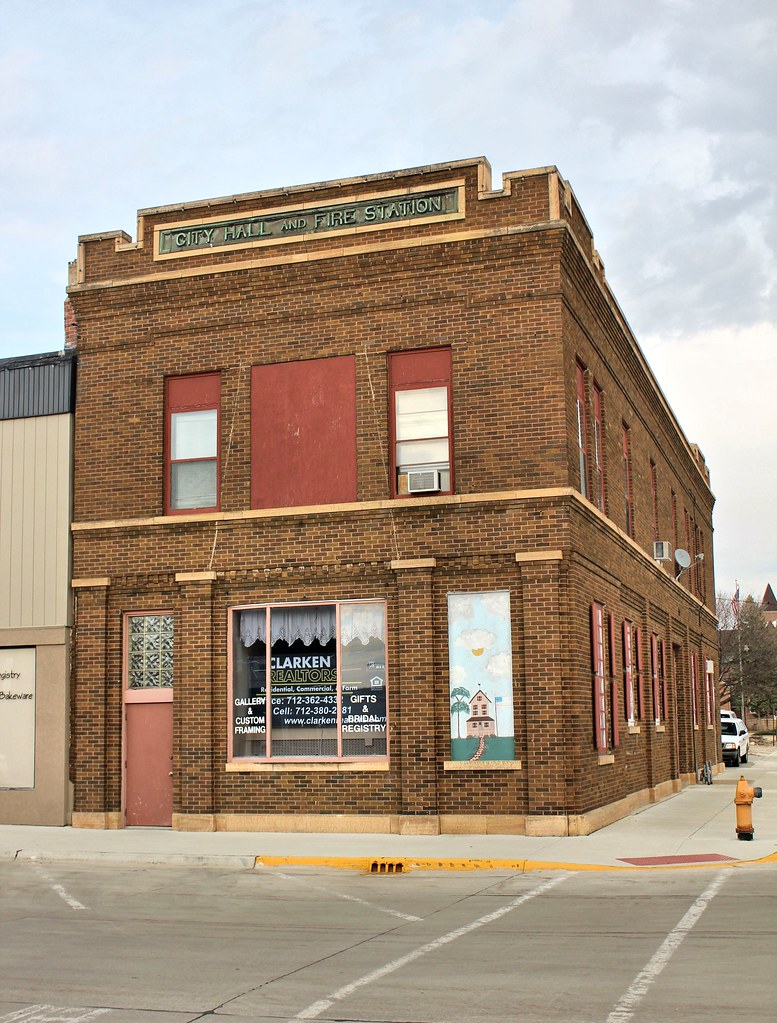
Fire Station (Former) - Estherville, IA
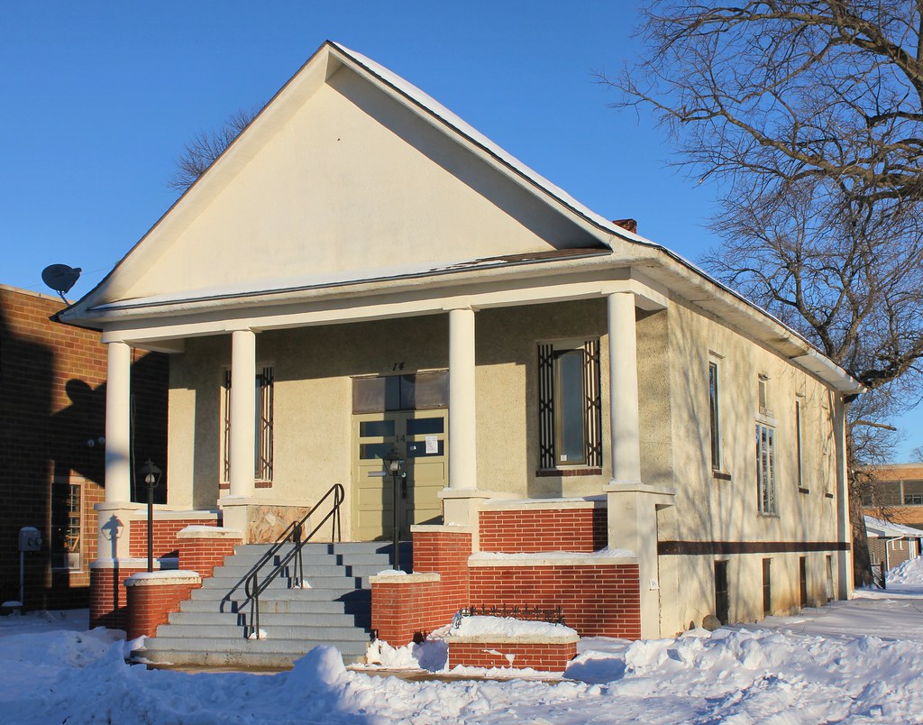
Church (Former) - Estherville, IA
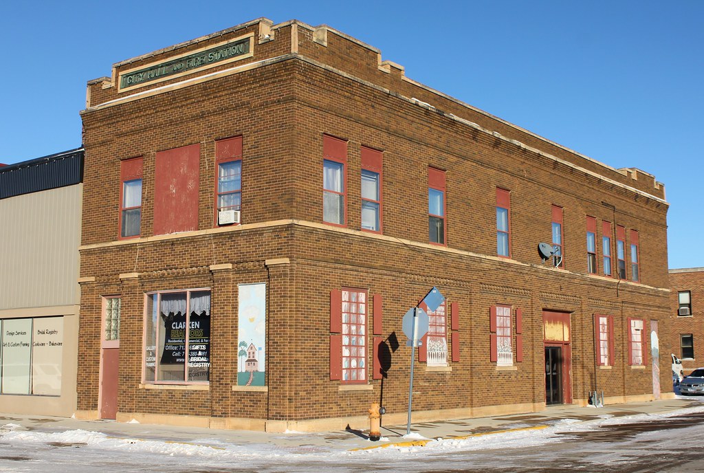
City Hall and Fire Station (Former) - Estherville, IA
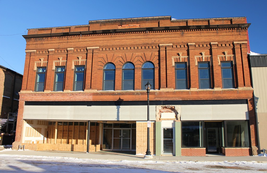
Sievert's Building - Estherville, IA
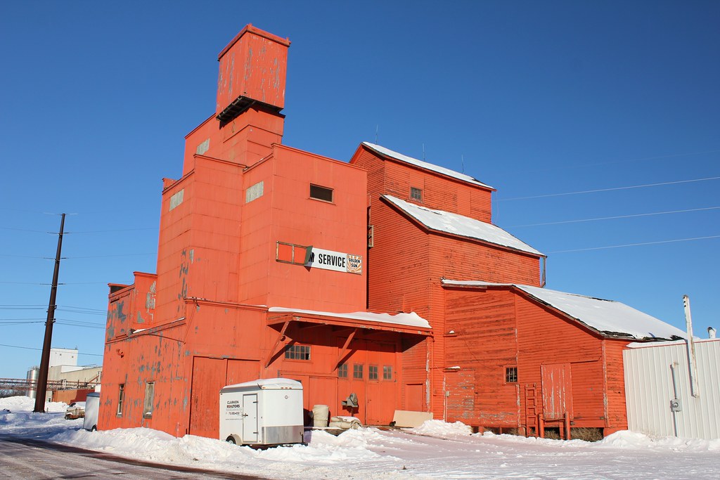
Golden Sun Farm Service elevator - Estherville, IA
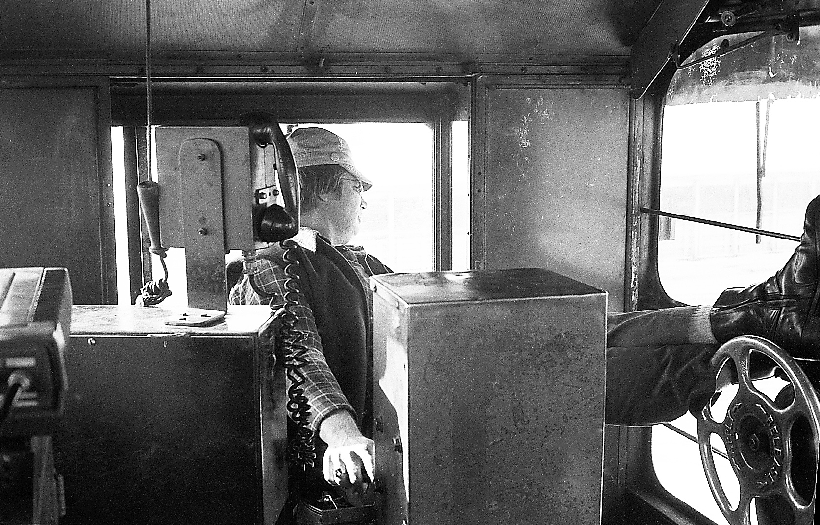
9RogerLarson EvilleYrd Switch-2-18-79

Fire Station (Former) - Estherville, IA

F. Albro Building - Estherville, IA

J.D. Willson Building - Esterville, IA
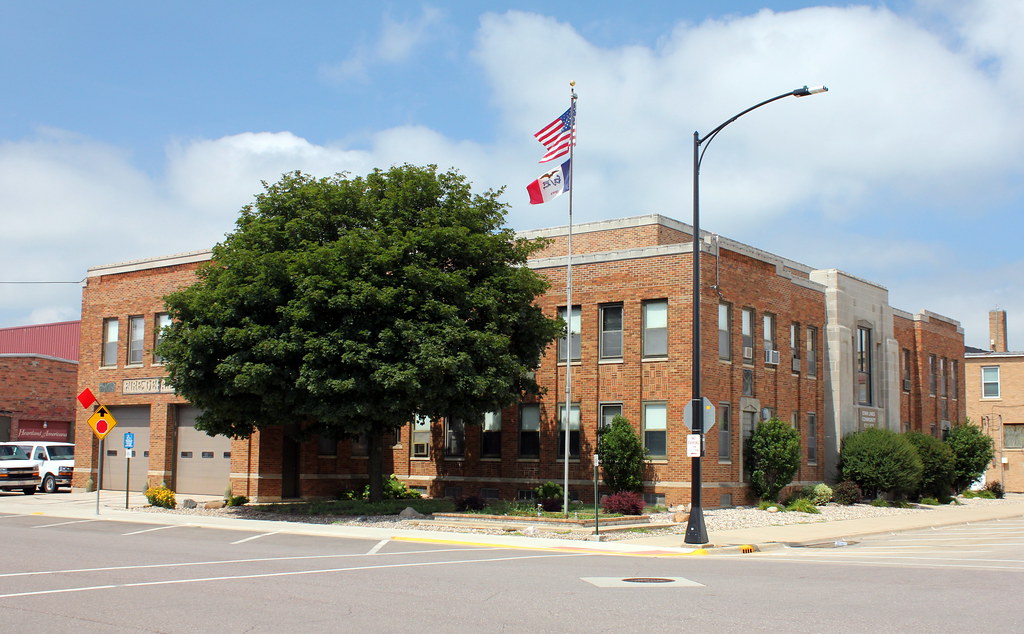
City Hall & Fire Station (Former) - Estherville, IA
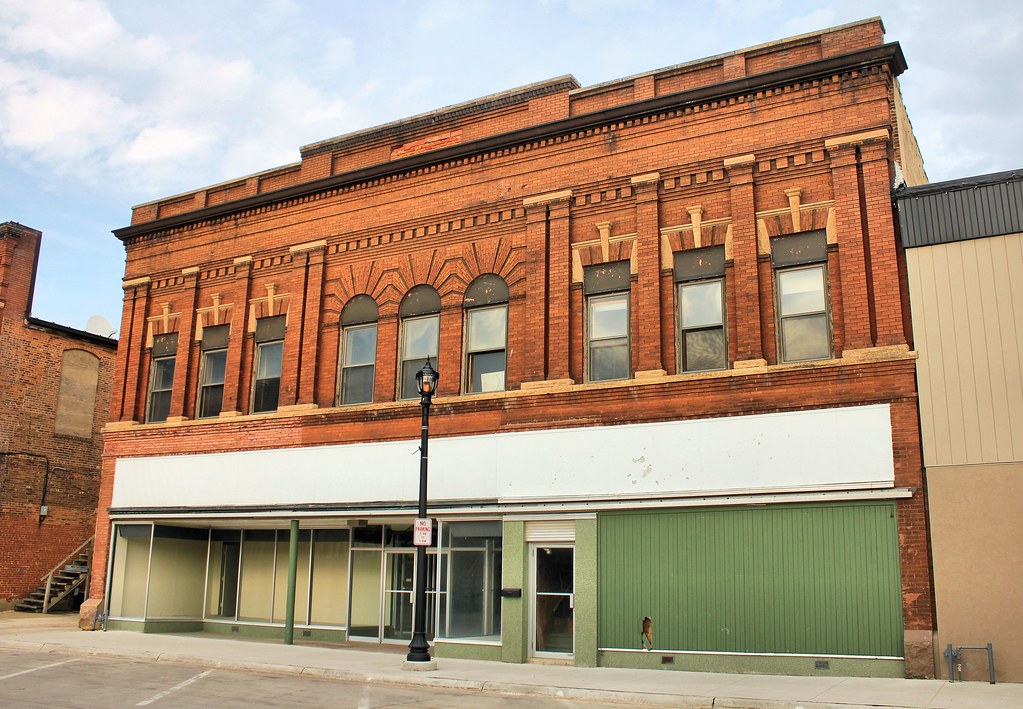
Sievert's Building - Estherville, IA
City Hall and Fire Station (Former) - Estherville, IA
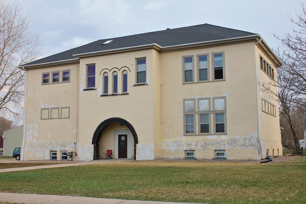
Jackson School - Estherville, IA
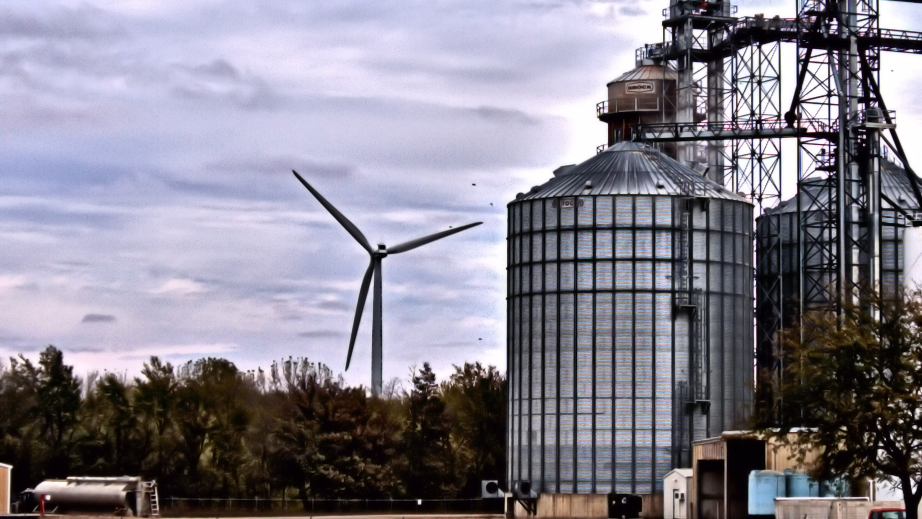
Wind Turbine
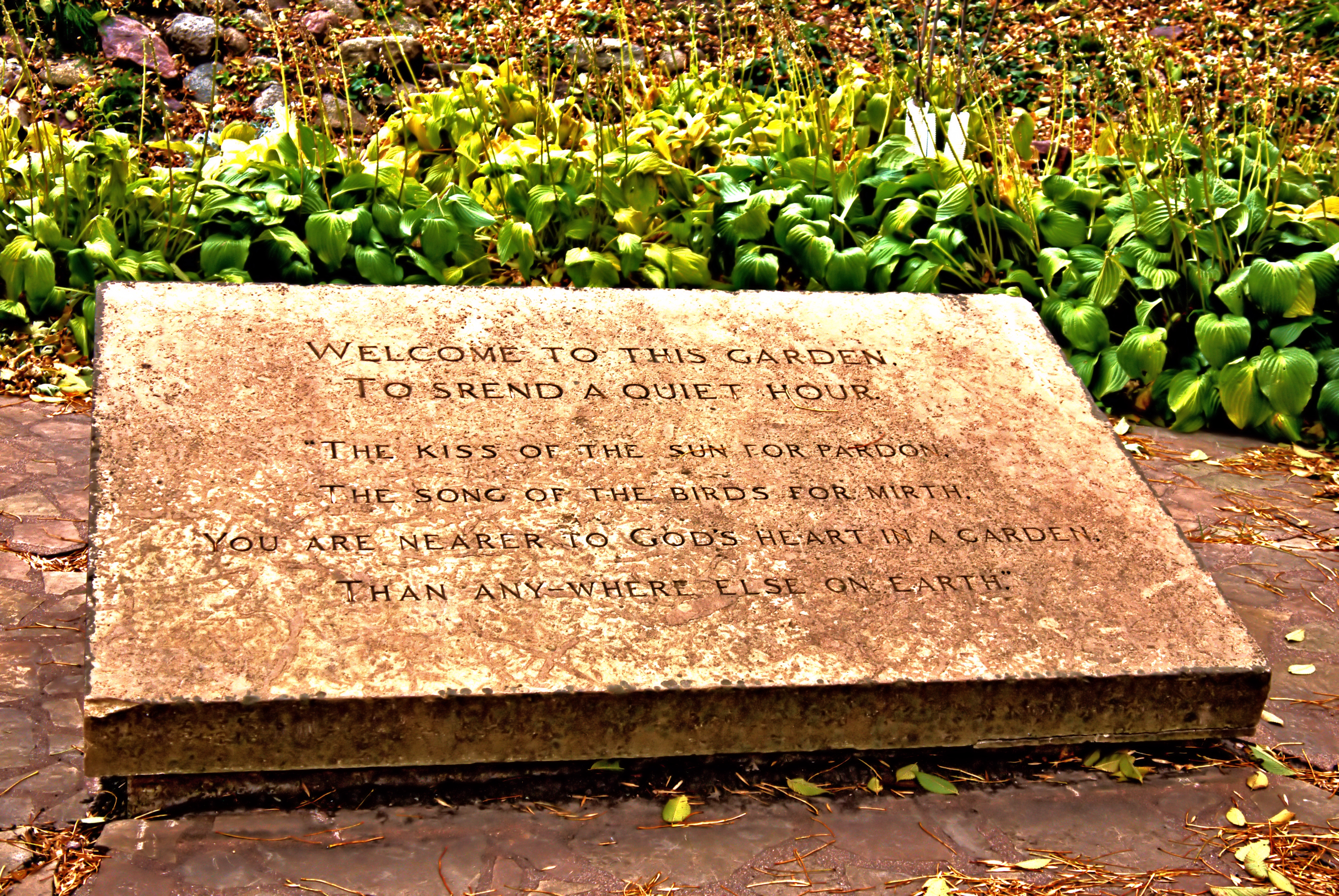
Welcome to this Garden
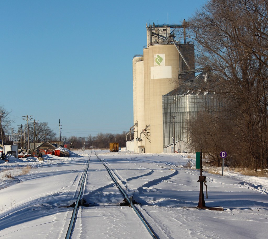
Trackside - Graettinger, IA
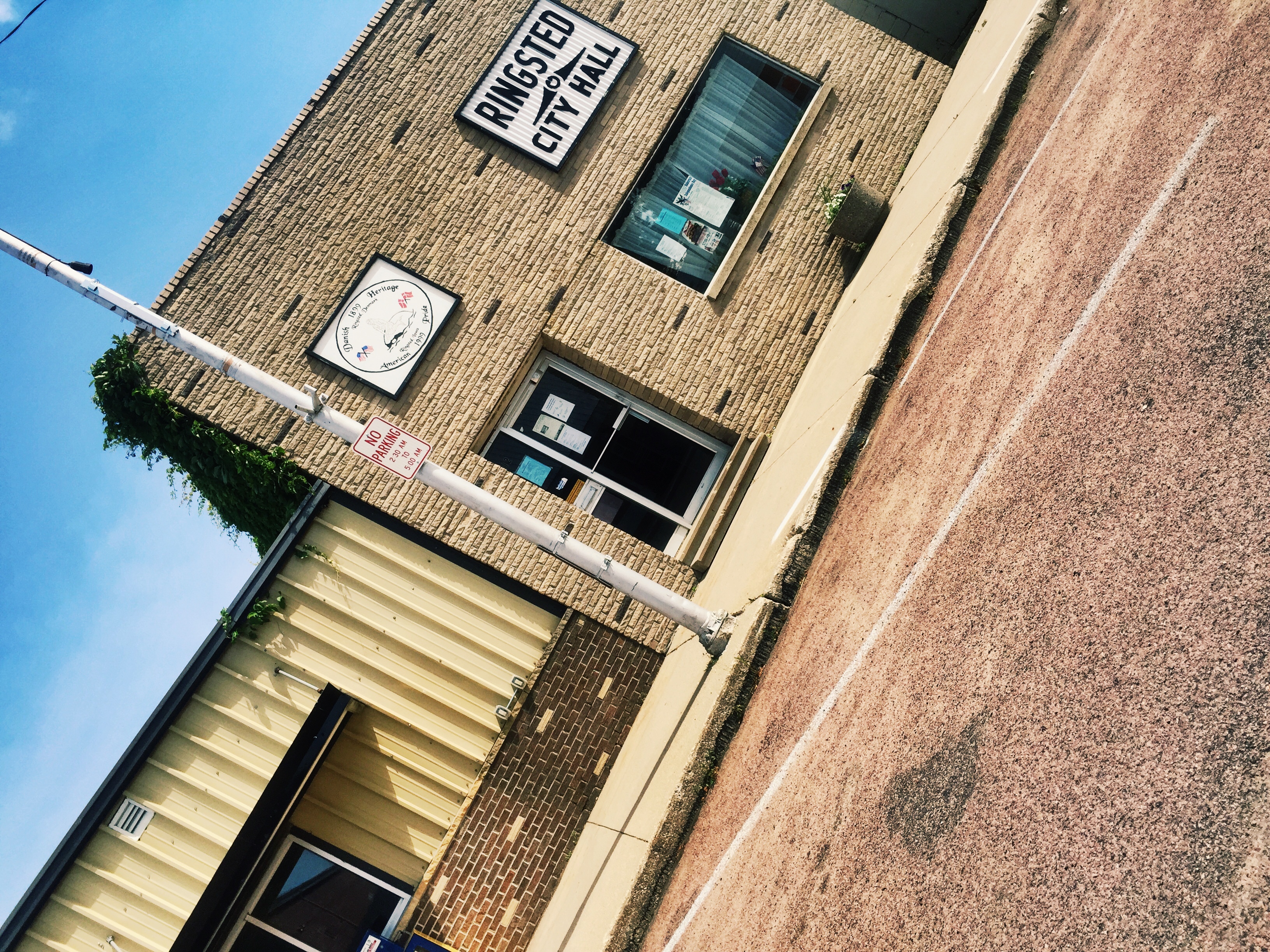
Ringsted City Hall! Patterson farms
Topographic Map of Emmet County, IA, USA
Find elevation by address:

Places in Emmet County, IA, USA:
Places near Emmet County, IA, USA:
Graettinger
Robins St, Graettinger, IA, USA
Walnut
Central Ave, Estherville, IA, USA
Estherville
Armstrong Grove
Ceylon
Estherville
Palo Alto County
4th Ave, Armstrong, IA, USA
Armstrong
Tenhassen Township
516 160th Ave
Lloyd
209 390th St
602 N 1st St
Terril
4907 30th Ave
4903 30th Ave
Seneca
Recent Searches:
- Elevation of Corso Fratelli Cairoli, 35, Macerata MC, Italy
- Elevation of Tallevast Rd, Sarasota, FL, USA
- Elevation of 4th St E, Sonoma, CA, USA
- Elevation of Black Hollow Rd, Pennsdale, PA, USA
- Elevation of Oakland Ave, Williamsport, PA, USA
- Elevation of Pedrógão Grande, Portugal
- Elevation of Klee Dr, Martinsburg, WV, USA
- Elevation of Via Roma, Pieranica CR, Italy
- Elevation of Tavkvetili Mountain, Georgia
- Elevation of Hartfords Bluff Cir, Mt Pleasant, SC, USA