Elevation of Central Ave, Estherville, IA, USA
Location: United States > Iowa > Emmet County > Estherville > Estherville >
Longitude: -94.8332745
Latitude: 43.4018149
Elevation: 395m / 1296feet
Barometric Pressure: 0KPa
Related Photos:

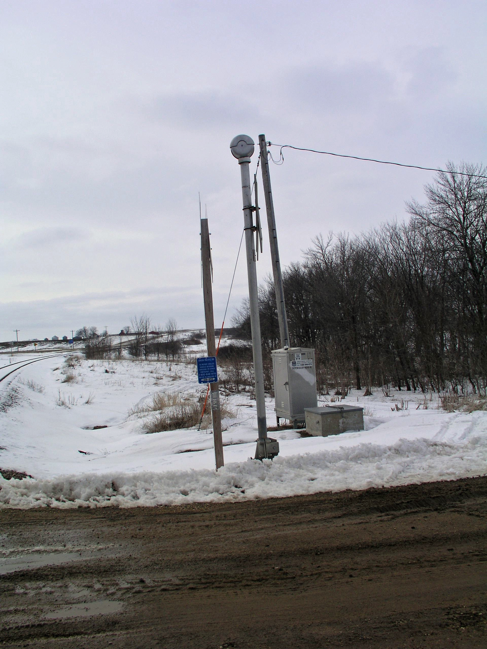
Train to Nowhere.

Hilly Scenery

Corn Field
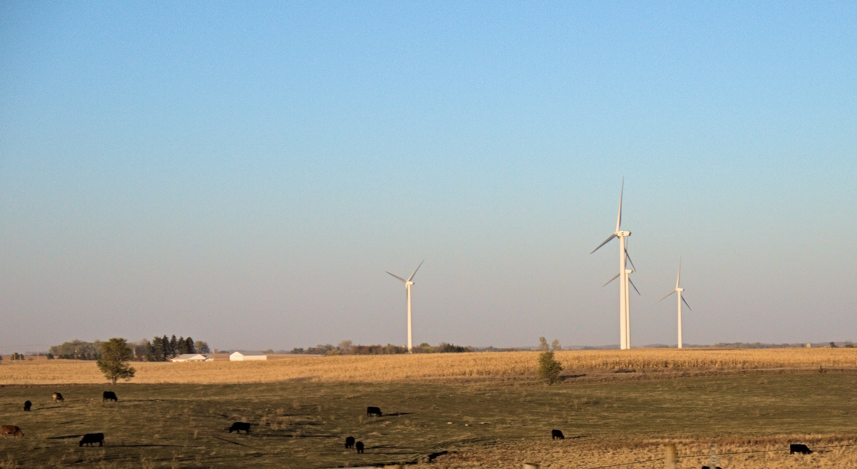
Wind and Cattle Farm
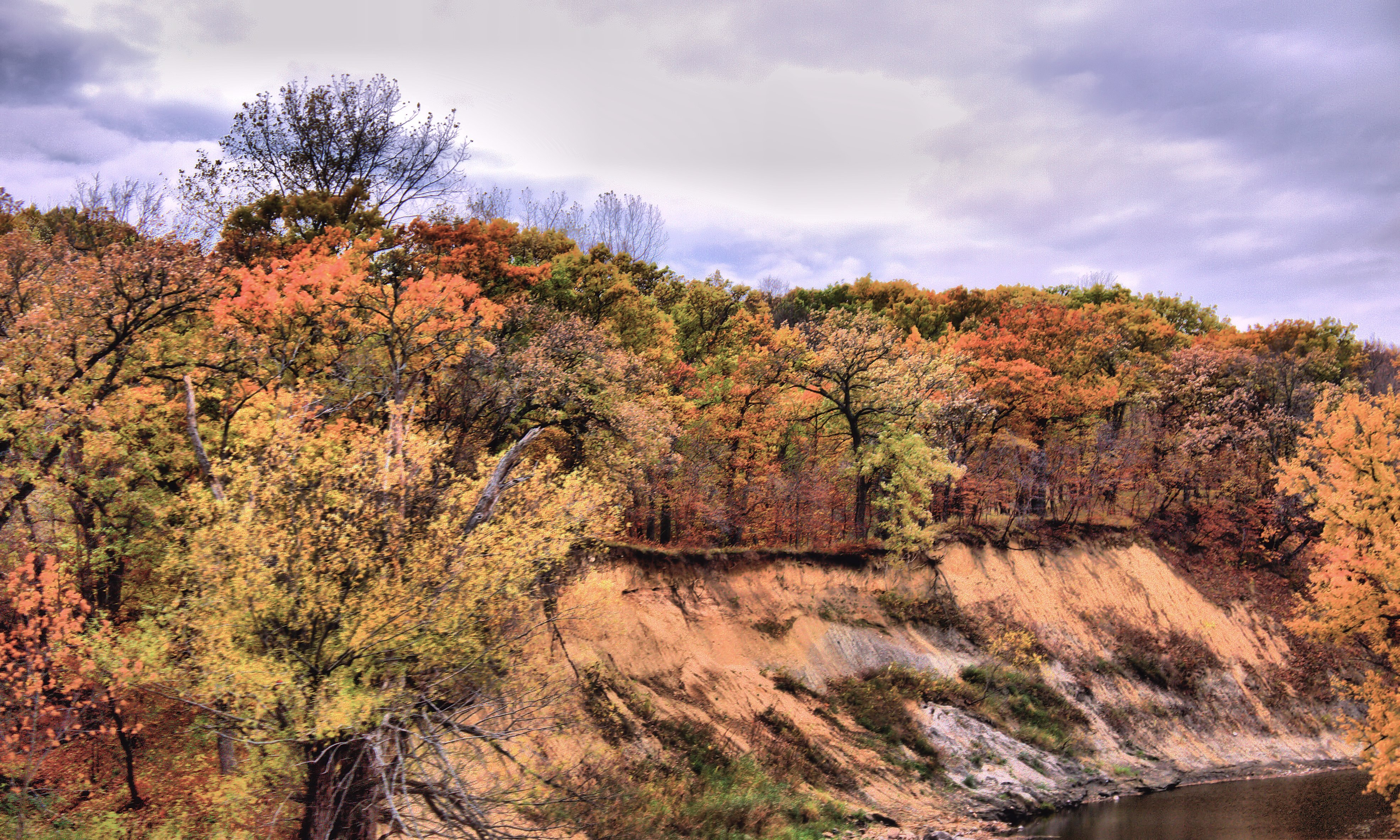
Fall Colors by the creek

Bridge 460-05
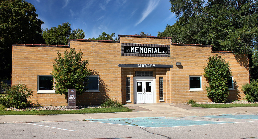
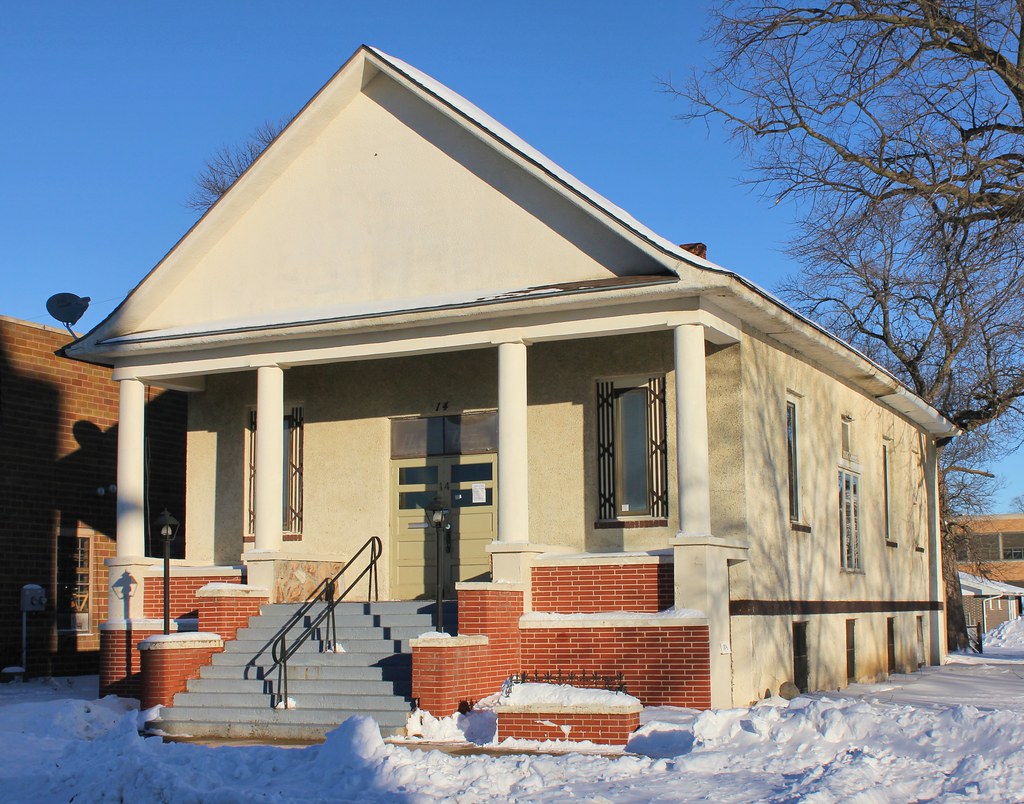
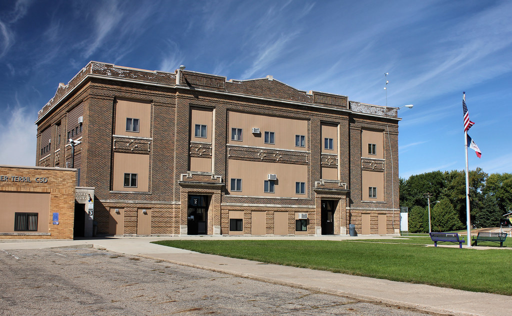
Memorial Building - Terril, IA
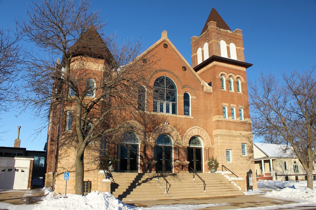
First Presbyterian Church - Estherville, IA
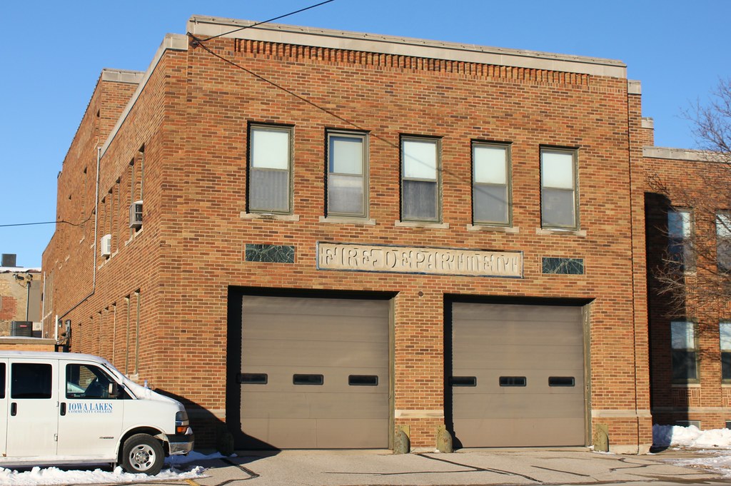
Fire Station (Former) - Estherville, IA
Church (Former) - Estherville, IA
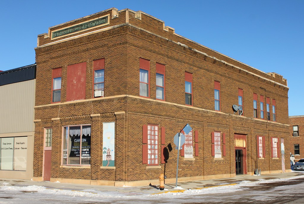
City Hall and Fire Station (Former) - Estherville, IA
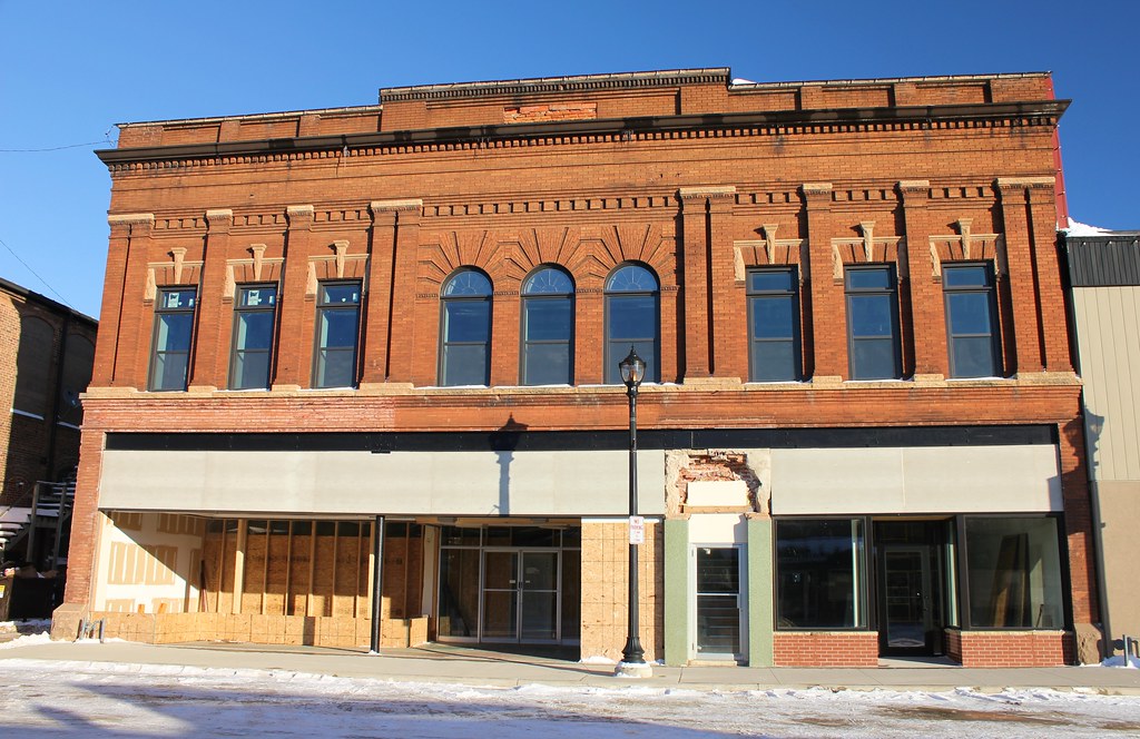
Sievert's Building - Estherville, IA
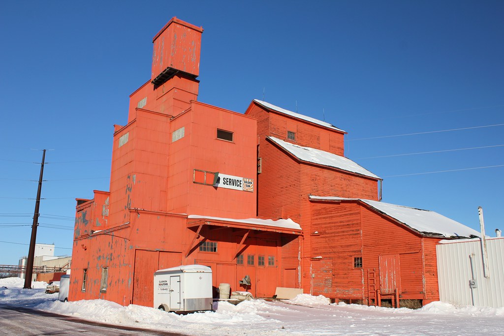
Golden Sun Farm Service elevator - Estherville, IA

Immanuel Lutheran Church - Terril, IA

Immanuel Lutheran Church - Terril, IA
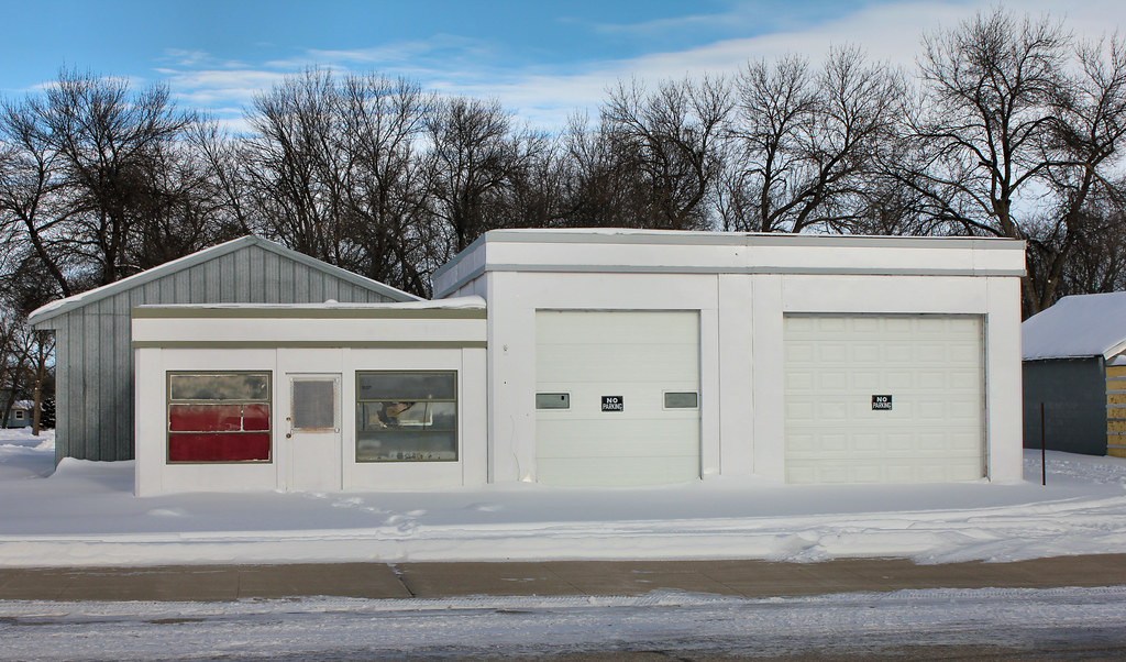
Gas Station - Terril, IA
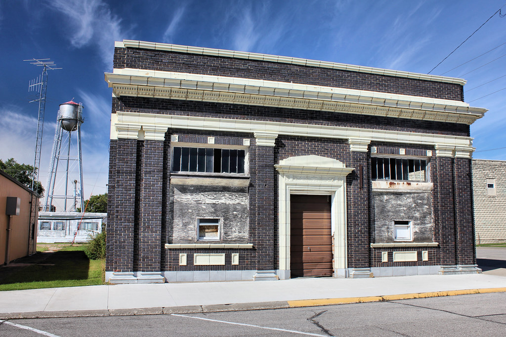
Bank Building - Terril, IA
Public School - Terril, IA

9RogerLarson EvilleYrd Switch-2-18-79
CRI&PCrossingBellEsthervilleB3-21-06

Fire Station (Former) - Estherville, IA

F. Albro Building - Estherville, IA

J.D. Willson Building - Esterville, IA
Topographic Map of Central Ave, Estherville, IA, USA
Find elevation by address:

Places near Central Ave, Estherville, IA, USA:
Estherville
Estherville
Emmet County
602 N 1st St
Terril
Lloyd
Robins St, Graettinger, IA, USA
Graettinger
Walnut
11202 270th Ave
11202 270th Ave
Ceylon
Center Grove
Spirit Lake
Spirit Lake
Orleans, IA, USA
US-71, Okoboji, IA, USA
70341 480th Ave
70341 480th Ave
70341 480th Ave
Recent Searches:
- Elevation map of Greenland, Greenland
- Elevation of Sullivan Hill, New York, New York, 10002, USA
- Elevation of Morehead Road, Withrow Downs, Charlotte, Mecklenburg County, North Carolina, 28262, USA
- Elevation of 2800, Morehead Road, Withrow Downs, Charlotte, Mecklenburg County, North Carolina, 28262, USA
- Elevation of Yangbi Yi Autonomous County, Yunnan, China
- Elevation of Pingpo, Yangbi Yi Autonomous County, Yunnan, China
- Elevation of Mount Malong, Pingpo, Yangbi Yi Autonomous County, Yunnan, China
- Elevation map of Yongping County, Yunnan, China
- Elevation of North 8th Street, Palatka, Putnam County, Florida, 32177, USA
- Elevation of 107, Big Apple Road, East Palatka, Putnam County, Florida, 32131, USA
- Elevation of Jiezi, Chongzhou City, Sichuan, China
- Elevation of Chongzhou City, Sichuan, China
- Elevation of Huaiyuan, Chongzhou City, Sichuan, China
- Elevation of Qingxia, Chengdu, Sichuan, China
- Elevation of Corso Fratelli Cairoli, 35, Macerata MC, Italy
- Elevation of Tallevast Rd, Sarasota, FL, USA
- Elevation of 4th St E, Sonoma, CA, USA
- Elevation of Black Hollow Rd, Pennsdale, PA, USA
- Elevation of Oakland Ave, Williamsport, PA, USA
- Elevation of Pedrógão Grande, Portugal