Elevation of Powhatan, IA, USA
Location: United States > Iowa > Pocahontas County >
Longitude: -94.624375
Latitude: 42.867994
Elevation: 366m / 1201feet
Barometric Pressure: 97KPa
Elevation Map:
Satellite Map:
Related Photos:
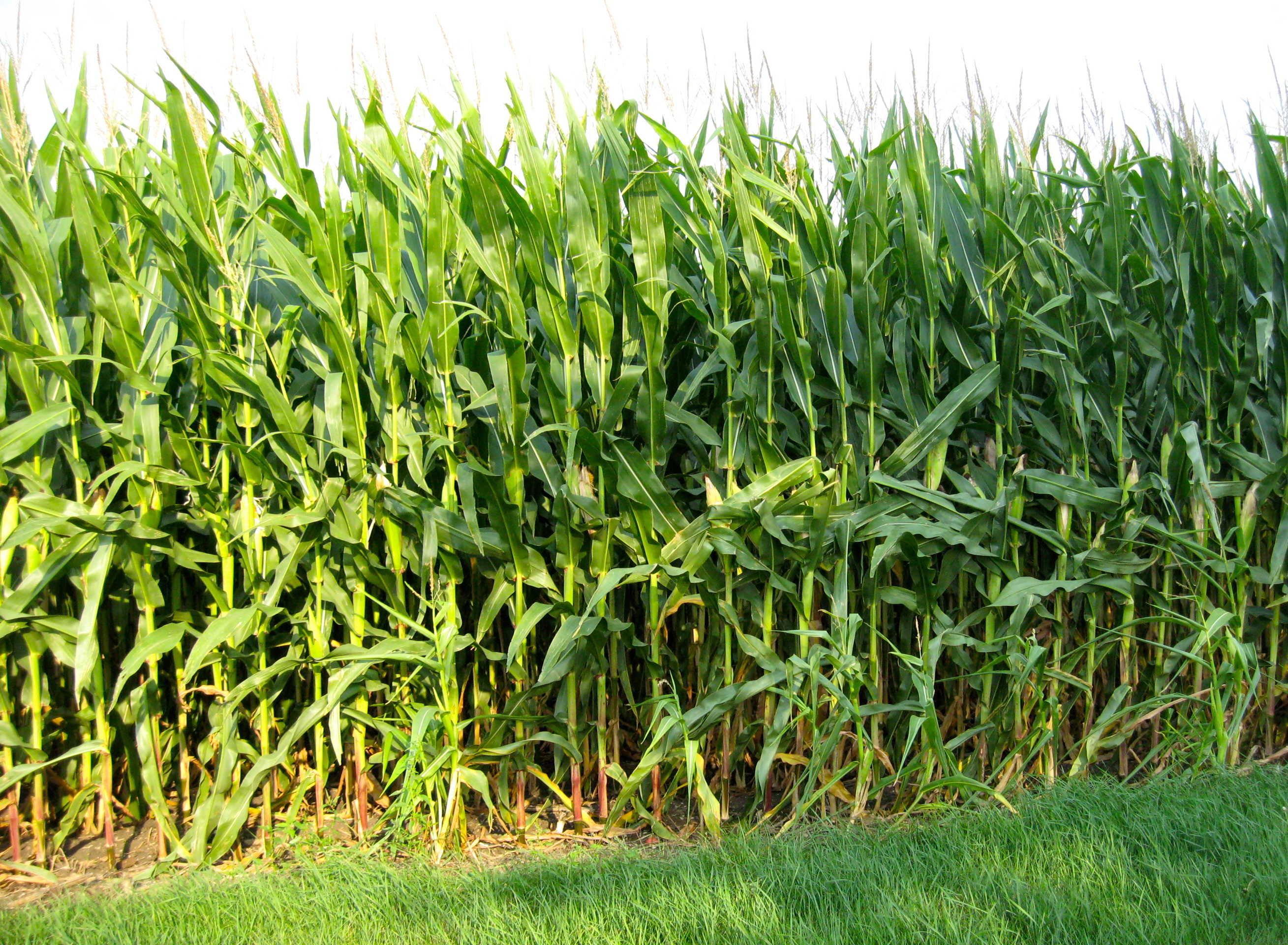
Stopping by Corn on a Summer Evening

Day 640: Da Bus!
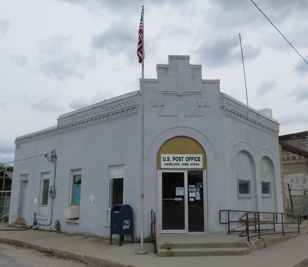
Post Office 50546 (Havelock, Iowa)

Post Office 50573 (Plover, Iowa)

Farmers CO-OP Elevator (Plover, Iowa)
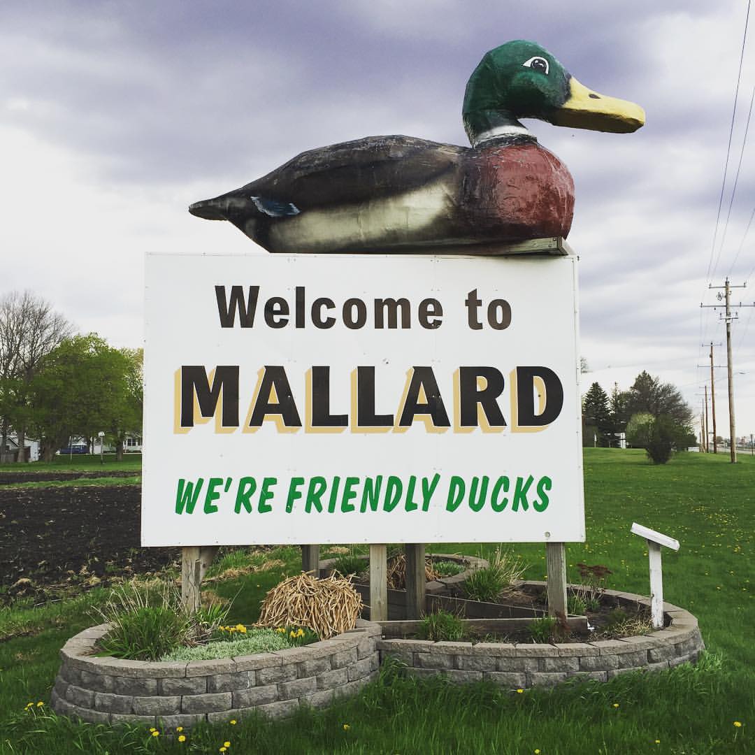
Mallard, Iowa 118/365 #project365 #365 #mallard #iowa #duck #ducks
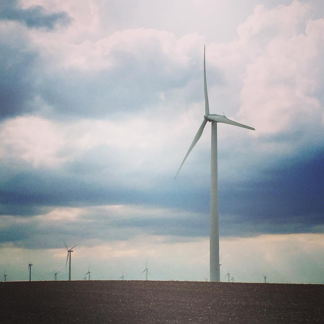
Windmills, Pocahontas, Iowa 116/365 #project365 #365 #windmill #pocahontas #iowa

Public School - Mallard, IA
Church (Former) - Mallard, IA
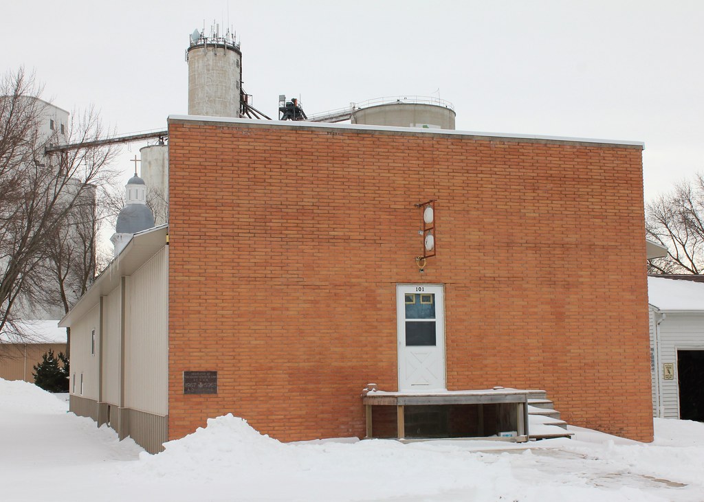
Masonic Lodge - Pocahontas, IA
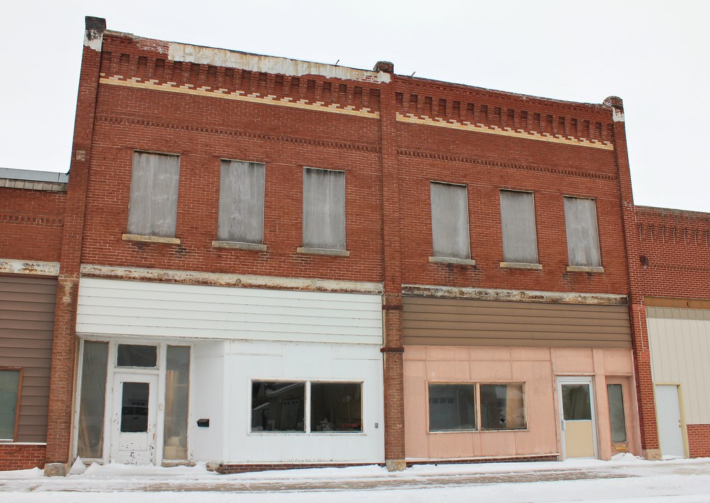
Downtown Building - Pocahontas, IA
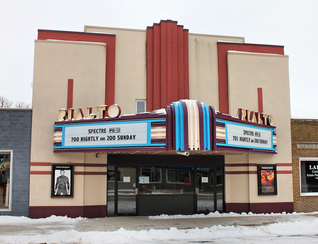
Rialto Theater - Pocahontas, IA
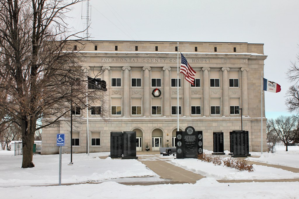
Pocahontas County Courthouse - Pocahontas, IA
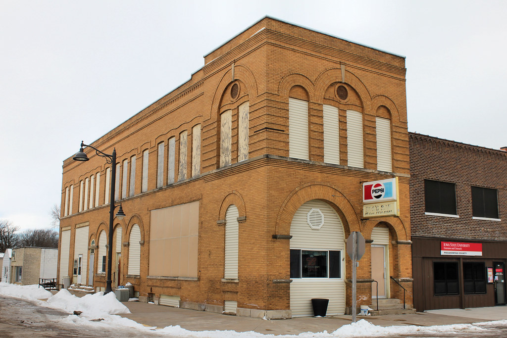
Bank of Pocahontas Building - Pocahontas, IA
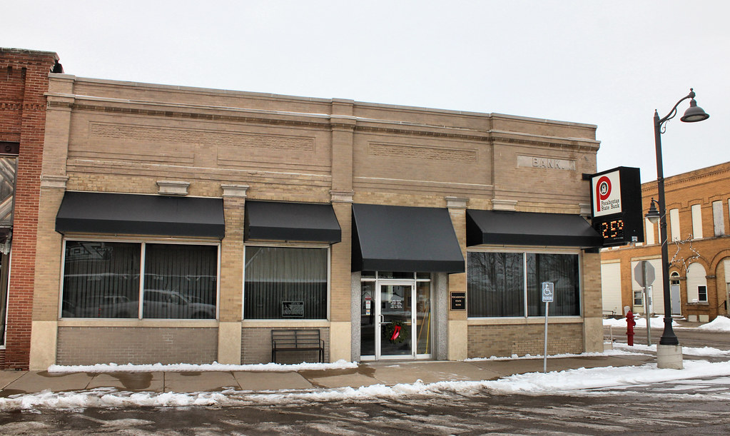
Pocahontas State Bank - Pocahontas, IA
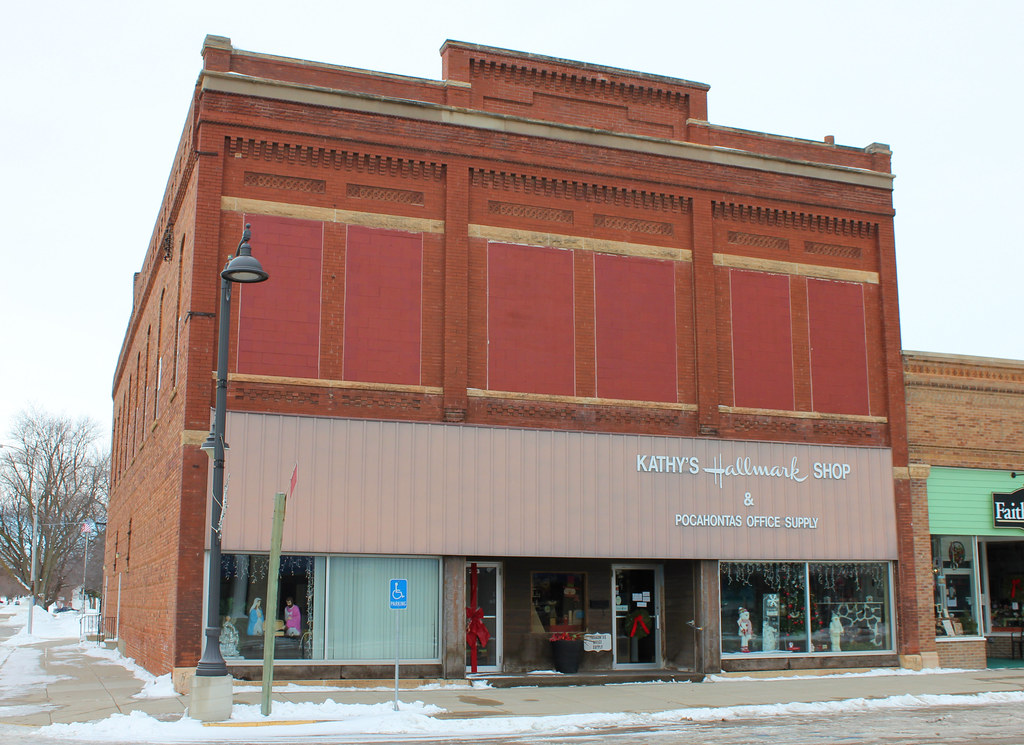
Downtown Building - Pocahontas, IA
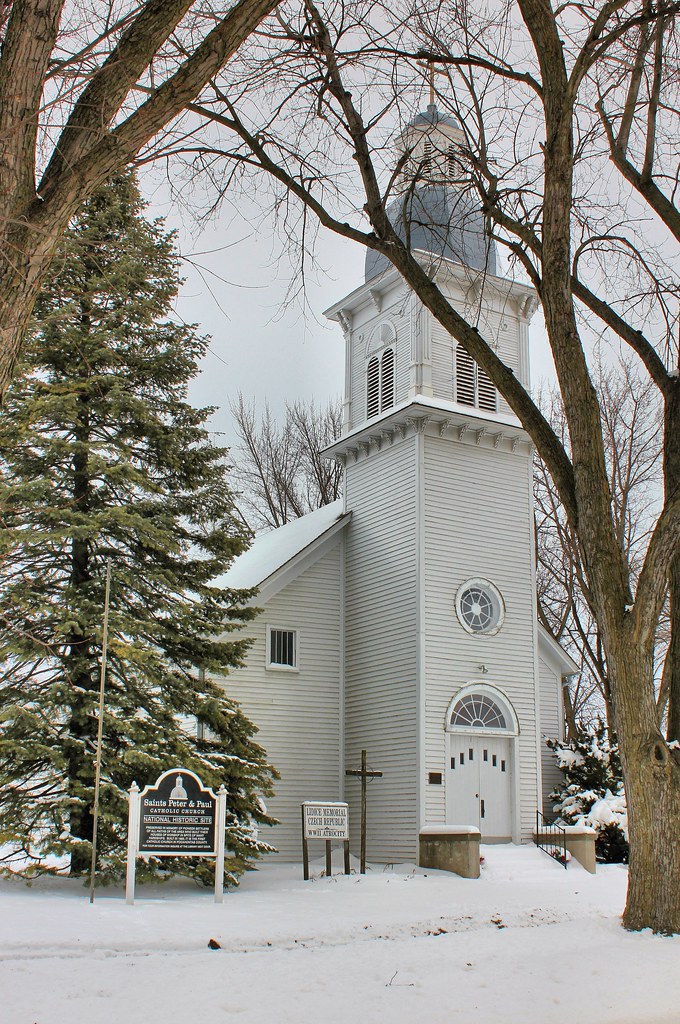
Sts. Peter & Paul Catholic Church - Pocahontas, IA

I.O.O.F. Lodge 112 - Pocahontas, IA
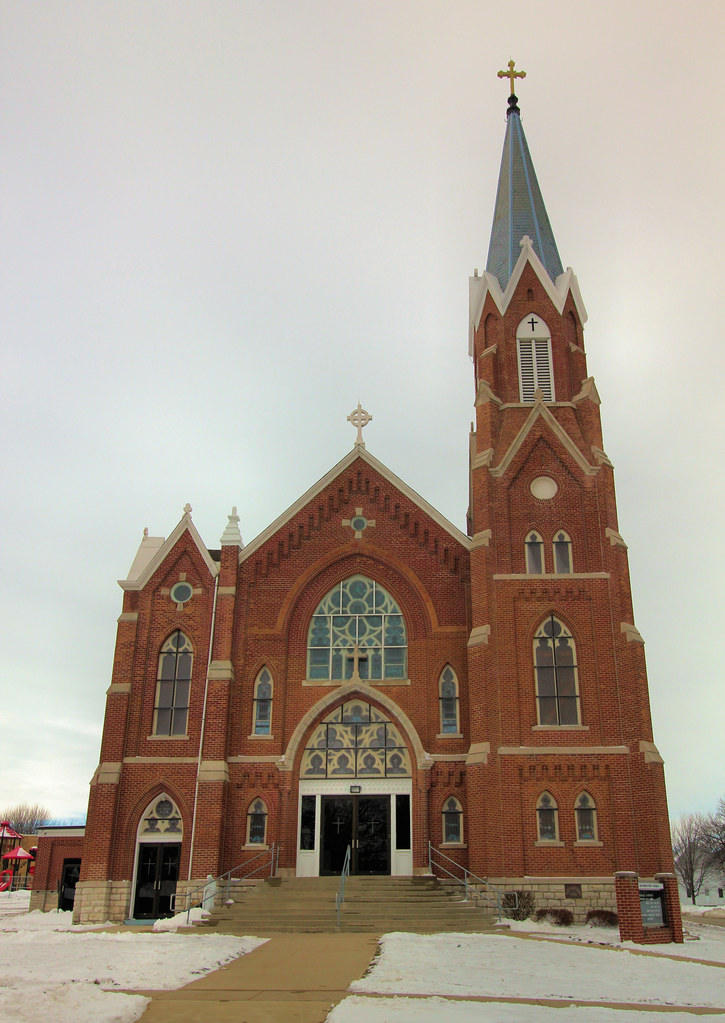
Resurrection of Our Lord Catholic Church - Pocahontas, IA
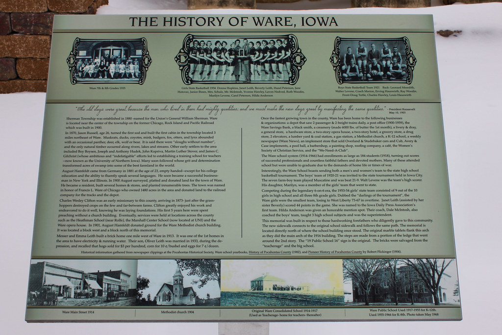
History plaque - Ware, IA
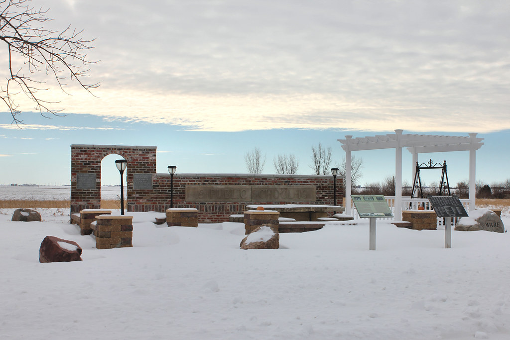
Public School site - Ware, IA

Pocahontas 19/365 #project365 #365 #pocahontas #iowa

Meeting of the Service Club
Topographic Map of Powhatan, IA, USA
Find elevation by address:

Places in Powhatan, IA, USA:
Places near Powhatan, IA, USA:
Plover
th St, Rolfe, IA, USA
Roosevelt
S East St, Mallard, IA, USA
Mallard
51253 270th Ave
Rush Lake
Pocahontas County
S 3rd St, Laurens, IA, USA
Laurens
Palmer
Main St, Palmer, IA, USA
Swan Lake
Palo Alto County
Pomeroy
S Cayuga St, Pomeroy, IA, USA
Poland
Bode
1st St, Bode, IA, USA
2nd St N, Albert City, IA, USA
Recent Searches:
- Elevation of Rojo Ct, Atascadero, CA, USA
- Elevation of Flagstaff Drive, Flagstaff Dr, North Carolina, USA
- Elevation of Avery Ln, Lakeland, FL, USA
- Elevation of Woolwine, VA, USA
- Elevation of Lumagwas Diversified Farmers Multi-Purpose Cooperative, Lumagwas, Adtuyon, RV32+MH7, Pangantucan, Bukidnon, Philippines
- Elevation of Homestead Ridge, New Braunfels, TX, USA
- Elevation of Orchard Road, Orchard Rd, Marlborough, NY, USA
- Elevation of 12 Hutchinson Woods Dr, Fletcher, NC, USA
- Elevation of Holloway Ave, San Francisco, CA, USA
- Elevation of Norfolk, NY, USA