Elevation of Palestine, OH, USA
Location: United States > Ohio > Darke County > Liberty Township >
Longitude: -84.743292
Latitude: 40.0494926
Elevation: 338m / 1109feet
Barometric Pressure: 97KPa
Elevation Map:
Satellite Map:
Related Photos:

Envelope for Letter to George A. Katzenberger from Greenville to Chicago: 1893

Baker, Ohio

Fort Jefferson, Ohio

Greenville, Ohio

Maid Rite - Greenville, OH - Gum Wall

Wakefield, Ohio- Wakefield Schoolhouse

Maid-Rite Streetside

Hyner View State Park

Hyner View State Park

View in Greenville

Corn Ready for Harvet

Darke County Sunset 3

Darke County Fairgrounds Sunset 1

Soybeans Ready for Harvest

Evening on the Greenville Creek

Greenville Creek

Fall Harvest Completed

Boundary Tree

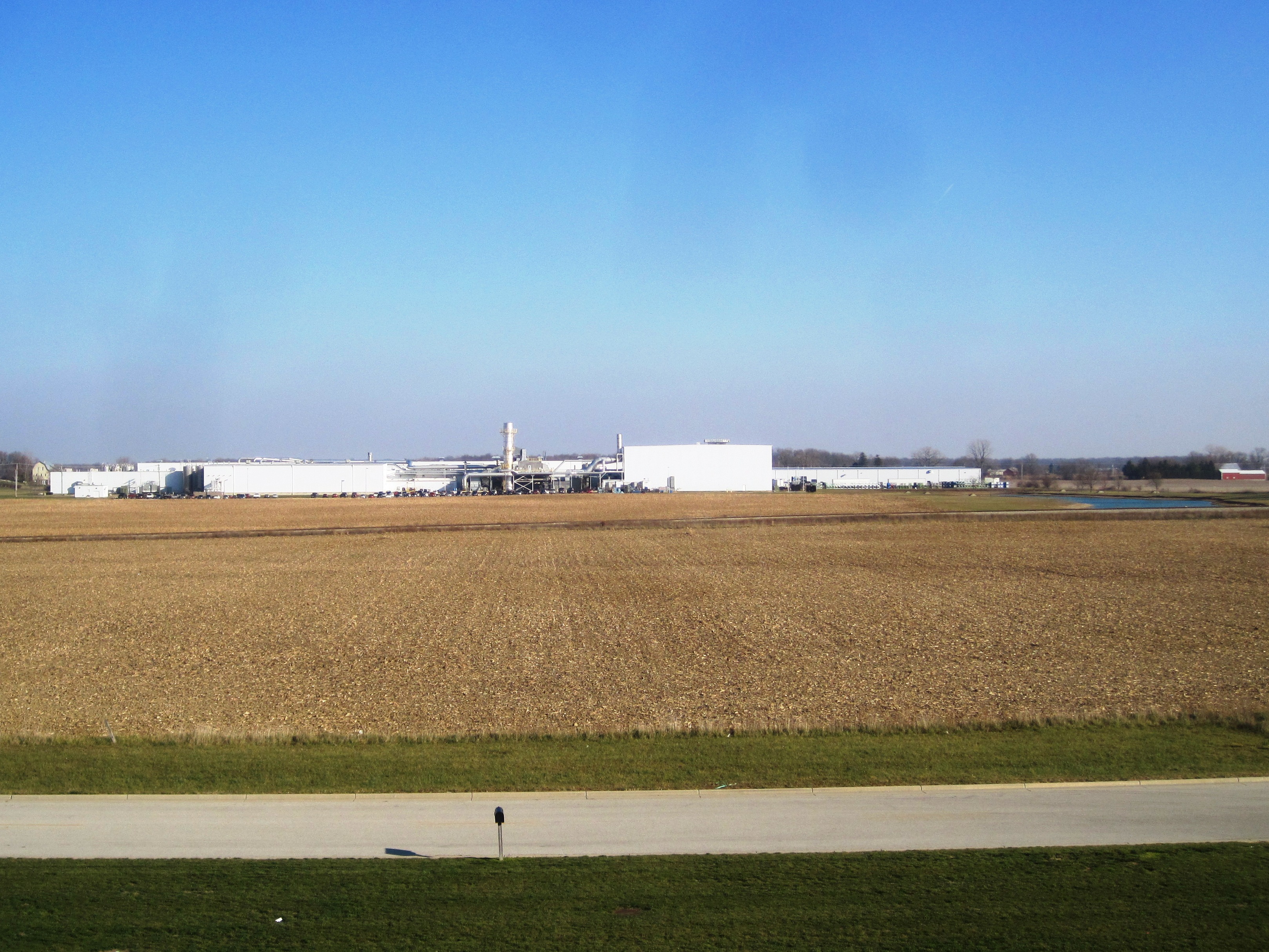
Greenville-Former Corning Glass Facility (CORF & COAF)

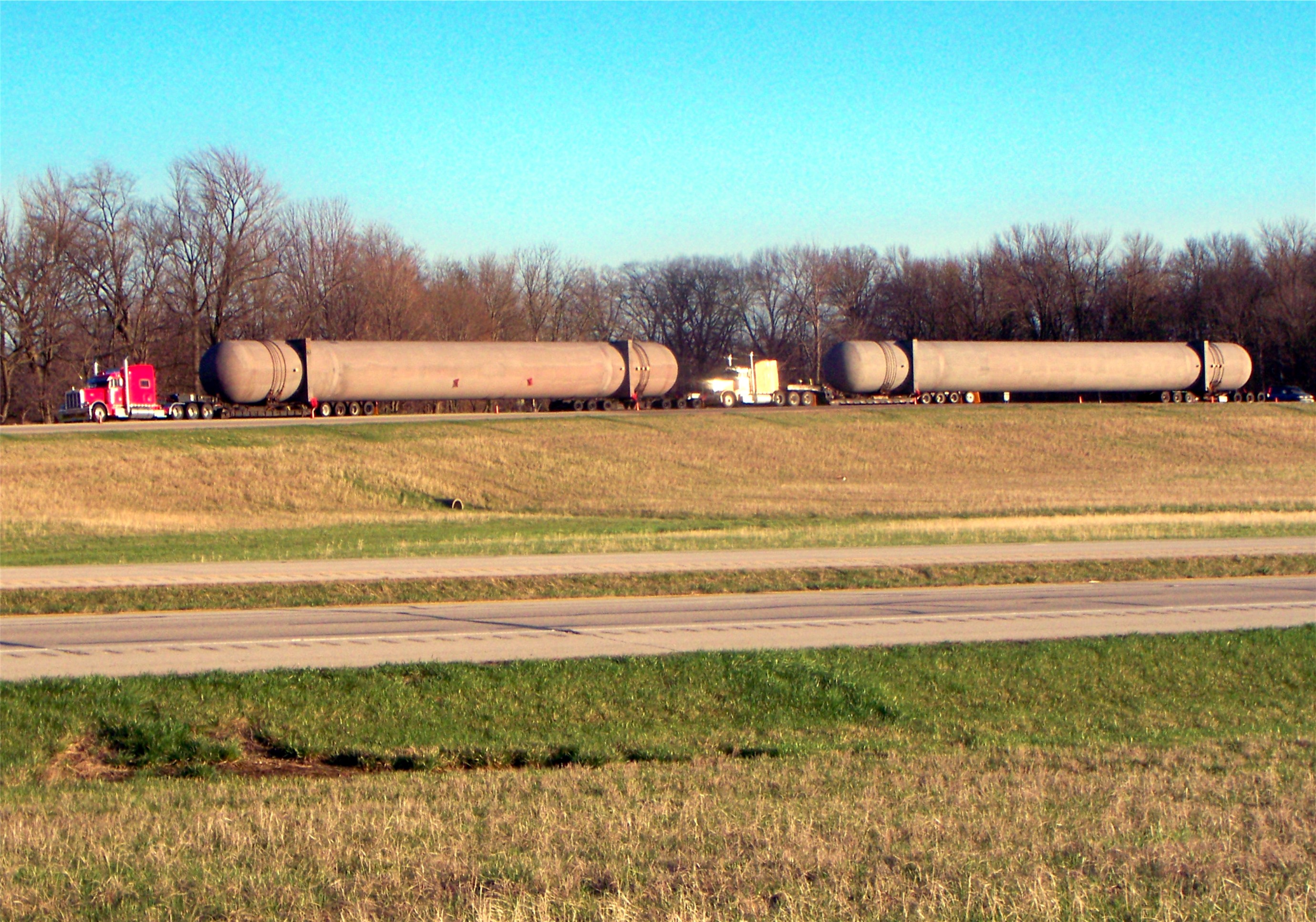
Greenville, Ohio

Highest Point in Indiana

Work Horses
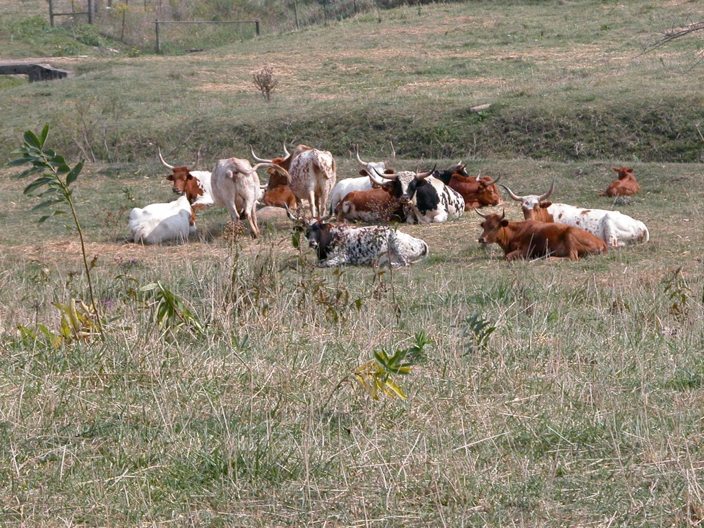
Midwest Longhorns
Greenville, OH
USA Photos

USA Photos

Thanks to @johnbakerphotography for the wonderful...

A picture of trees and water.

USA Photos
Topographic Map of Palestine, OH, USA
Find elevation by address:

Places near Palestine, OH, USA:
Liberty Township
Liberty Township
Liberty Township
Liberty Township
Liberty Township
Liberty Township
Liberty Township
Liberty Township
US-36, Greenville, OH, USA
415 Chenoweth Rd
Chenoweth Rd, Hollansburg, OH, USA
Hollansburg
Bethel
Hoosier Hill
S Arba Pike, Lynn, IN, USA
9708 In-227
Franklin Township
S Arba Pike, Lynn, IN, USA
6894 S Boundary Pike
9986 Elliott Rd
Recent Searches:
- Elevation of Congressional Dr, Stevensville, MD, USA
- Elevation of Bellview Rd, McLean, VA, USA
- Elevation of Stage Island Rd, Chatham, MA, USA
- Elevation of Shibuya Scramble Crossing, 21 Udagawacho, Shibuya City, Tokyo -, Japan
- Elevation of Jadagoniai, Kaunas District Municipality, Lithuania
- Elevation of Pagonija rock, Kranto 7-oji g. 8"N, Kaunas, Lithuania
- Elevation of Co Rd 87, Jamestown, CO, USA
- Elevation of Tenjo, Cundinamarca, Colombia
- Elevation of Côte-des-Neiges, Montreal, QC H4A 3J6, Canada
- Elevation of Bobcat Dr, Helena, MT, USA