Elevation of Bethel, IN, USA
Location: United States > Indiana > Wayne County > New Garden Township > Fountain City >
Longitude: -84.830238
Latitude: 39.9867145
Elevation: 371m / 1217feet
Barometric Pressure: 97KPa
Elevation Map:
Satellite Map:
Related Photos:

Gaar Mansion at Christmas
Baker, Ohio

Richmond, IN
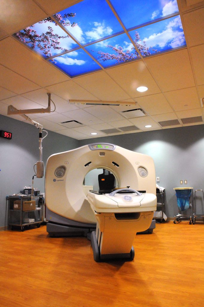
MRI at Reid Hospital
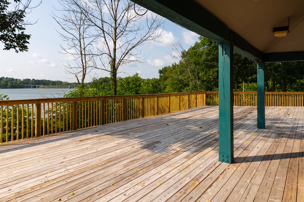
Expanded Deck and View at Middlefork Reservoir

Stars over the Gaar Mansion

Hyner View State Park

Gaar Mansion

Pleasant View Road

Sculpture of Jesus and the Children
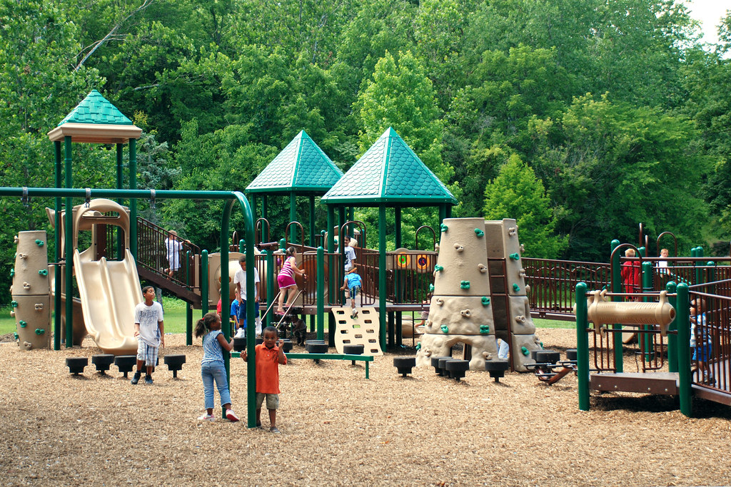
New Springwood Park Playground Equipment
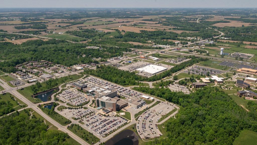
Aerial View of US 27 and I-70 Interchange
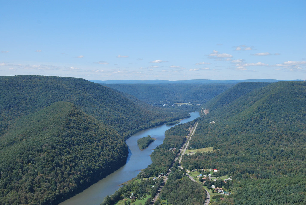
Hyner View State Park

Enjoying the View
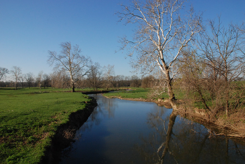
Whitewater River
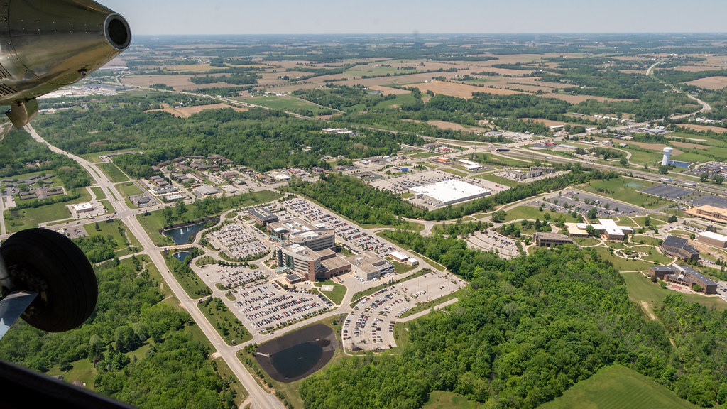
Aerial View of Reid Health and US 27 Interchange

Tom Raper Hall Naming Ceremony

Pink Crabapple Tree
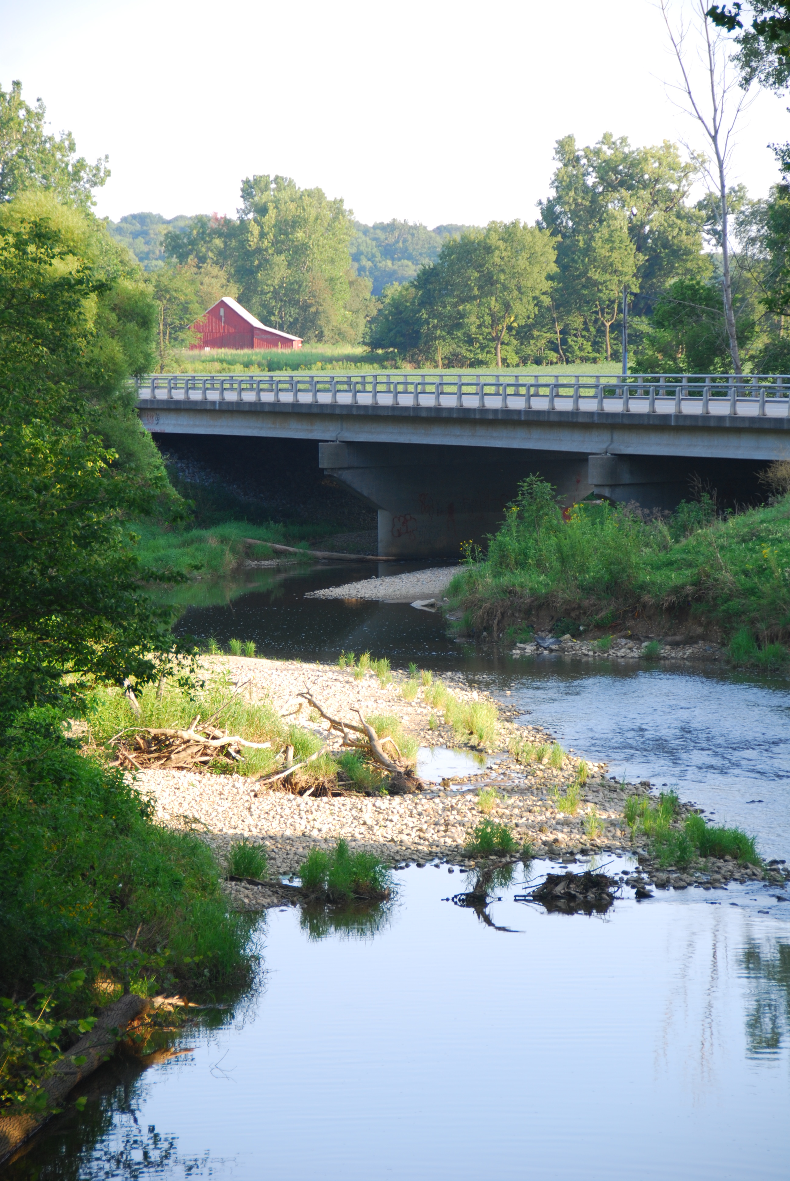
Greensfork River Bridge
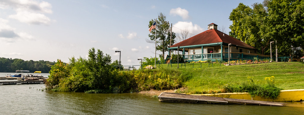
View from the Boat Ramp: Bait and Concession Shop at Middlefork Reservoir

BALD EAGLE at MIDDLE FORK RESERVOIR
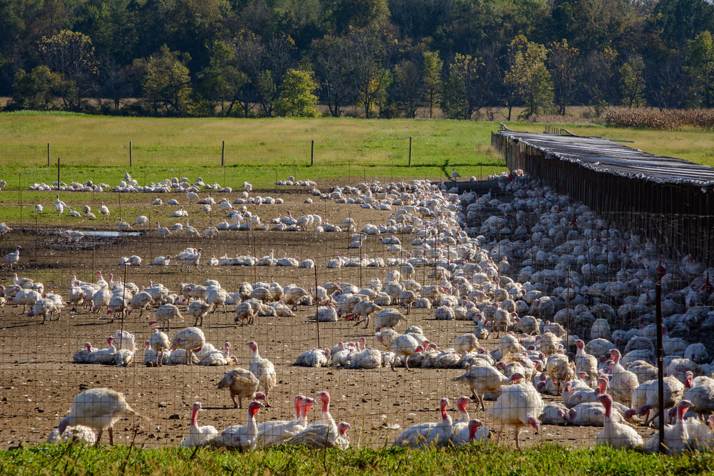
Turkey Farm
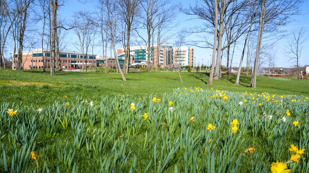
Daffodil Bed in Front of Reid Hospital

Narcissus Blossoms

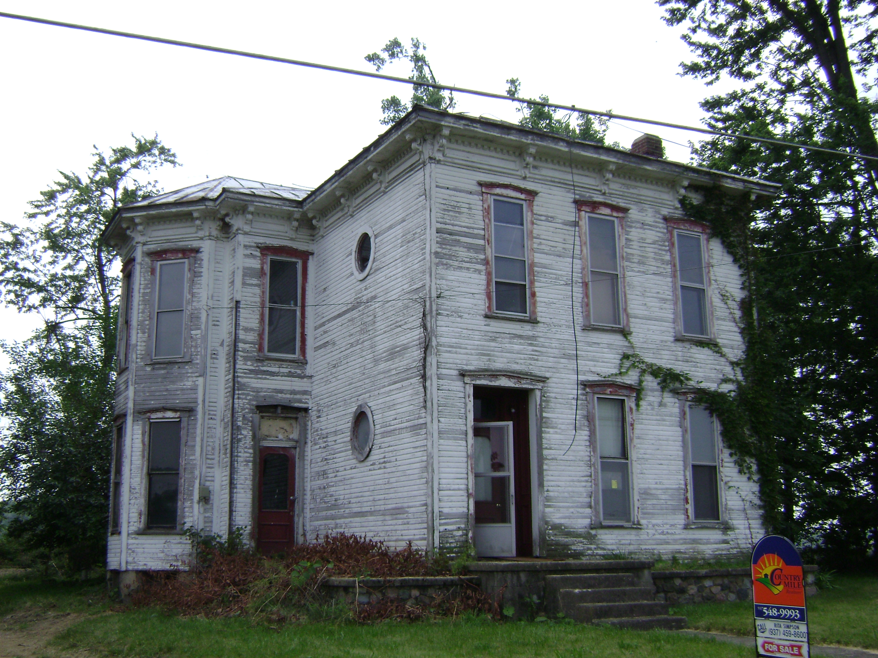
The Weathered Sign

Thanks to @johnbakerphotography for the wonderful...

Evening summer sky

Deerlick at Twilight

High Point in Indiana
A River Runs Through It
Fall Harvest Completed

Friends Fellowship Community
USA Photos
20060805-130746
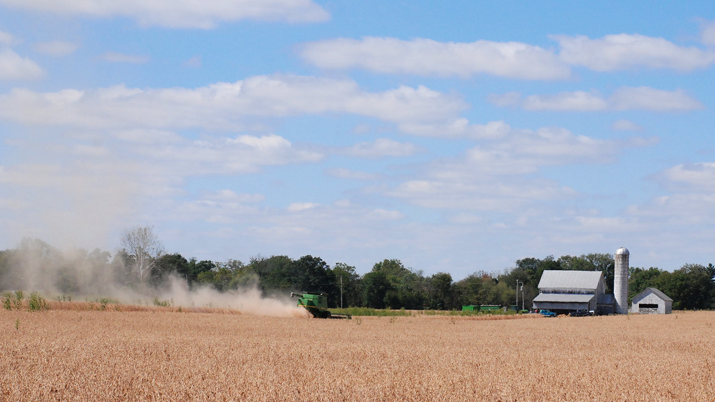
Combining Soybeans
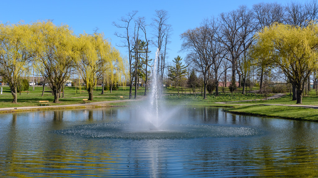
Pond Fountain at Friends Fellowship Community

20060805-130754
Topographic Map of Bethel, IN, USA
Find elevation by address:

Places near Bethel, IN, USA:
Franklin Township
9708 In-227
Hoosier Hill
9986 Elliott Rd
Hollansburg
Chenoweth Rd, Hollansburg, OH, USA
S Arba Pike, Lynn, IN, USA
415 Chenoweth Rd
S Arba Pike, Lynn, IN, USA
US-36, Greenville, OH, USA
Greensfork Township
7766 S Boundary Pike
New Garden Township
6894 S Boundary Pike
Fountain City
W Main Fountain City Pike, Fountain City, IN, USA
Liberty Township
Liberty Township
Liberty Township
Liberty Township
Recent Searches:
- Elevation of Fern Rd, Whitmore, CA, USA
- Elevation of 62 Abbey St, Marshfield, MA, USA
- Elevation of Fernwood, Bradenton, FL, USA
- Elevation of Felindre, Swansea SA5 7LU, UK
- Elevation of Leyte Industrial Development Estate, Isabel, Leyte, Philippines
- Elevation of W Granada St, Tampa, FL, USA
- Elevation of Pykes Down, Ivybridge PL21 0BY, UK
- Elevation of Jalan Senandin, Lutong, Miri, Sarawak, Malaysia
- Elevation of Bilohirs'k
- Elevation of 30 Oak Lawn Dr, Barkhamsted, CT, USA