Elevation of S Arba Pike, Lynn, IN, USA
Location: United States > Indiana > Randolph County > Greensfork Township >
Longitude: -84.867071
Latitude: 40.010914
Elevation: 361m / 1184feet
Barometric Pressure: 97KPa
Elevation Map:
Satellite Map:
Related Photos:
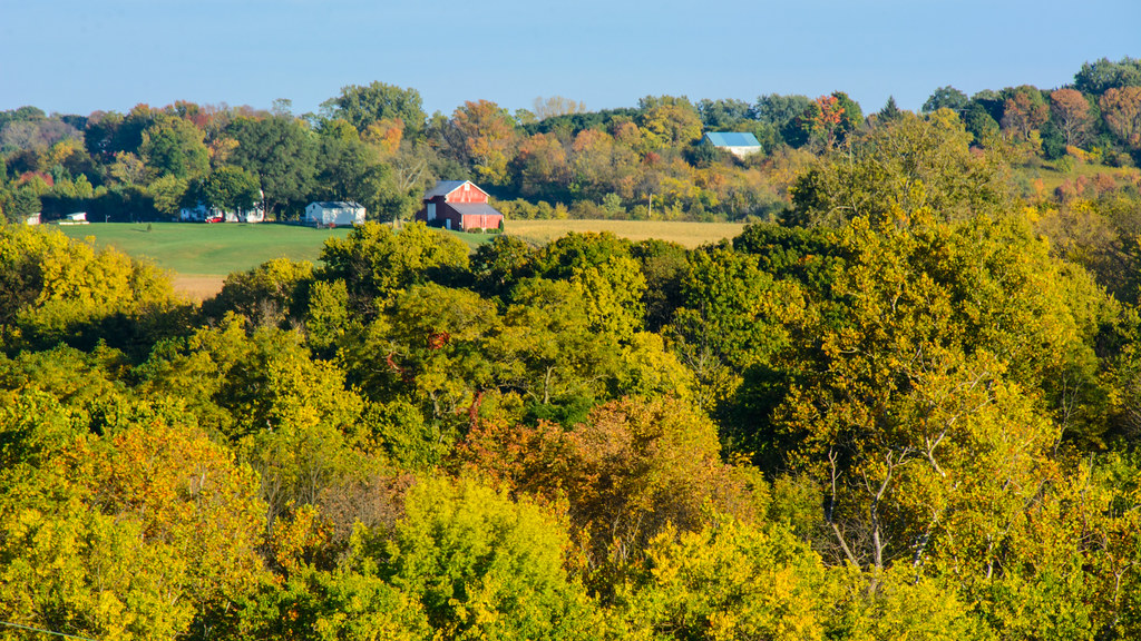
Deerlick Farm
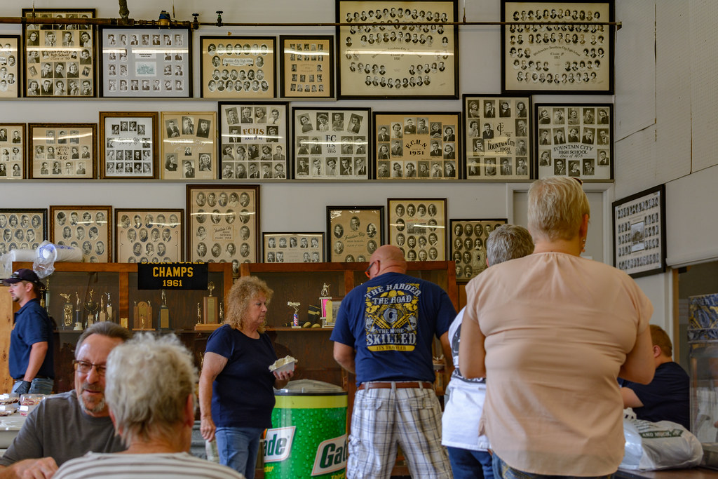
FCHS Composites
Baker, Ohio
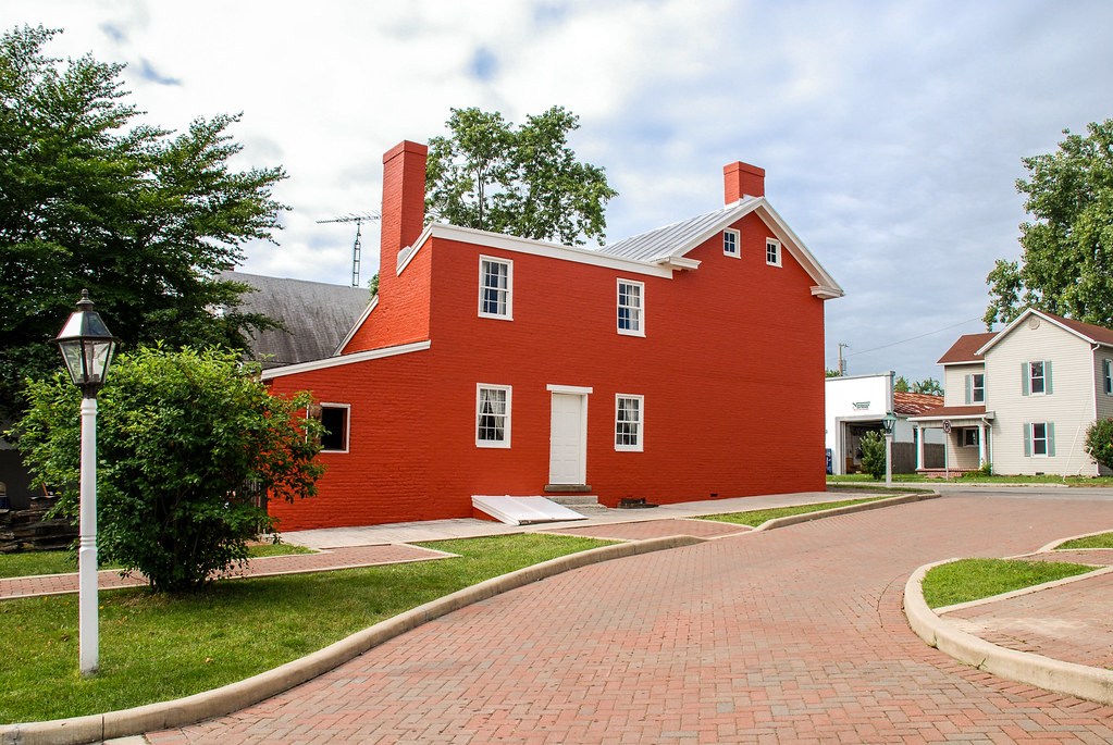
Levi Coffin House
View from Park Elwood
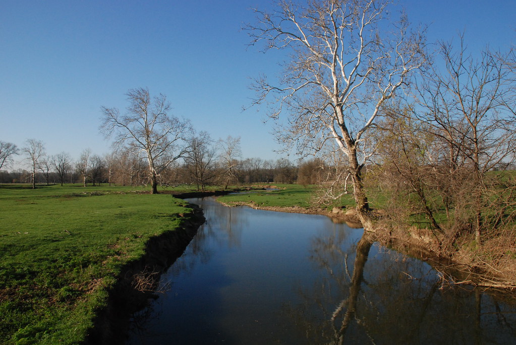
Whitewater River

Tom Raper Hall Naming Ceremony
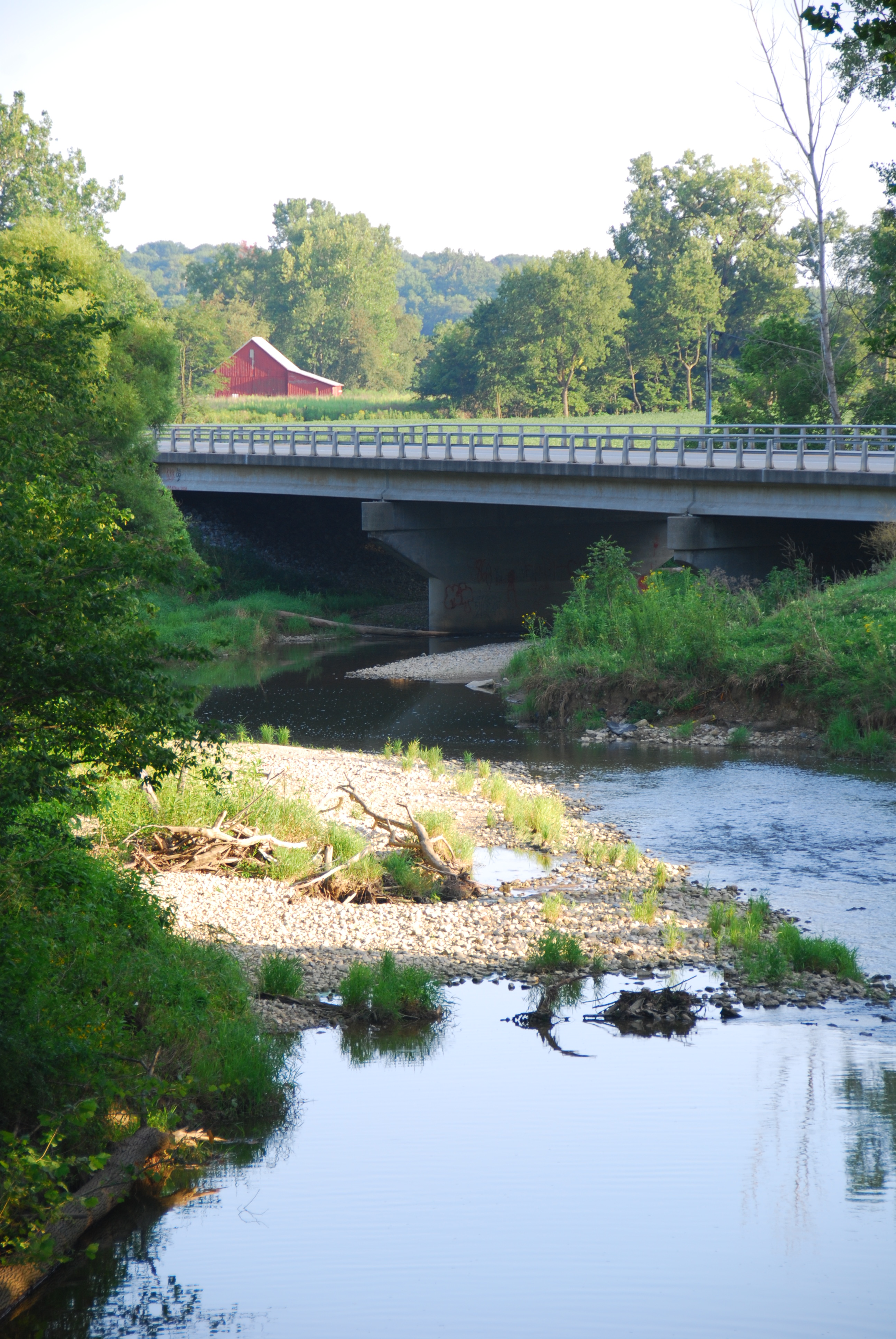
Greensfork River Bridge
View from Springwood Hall
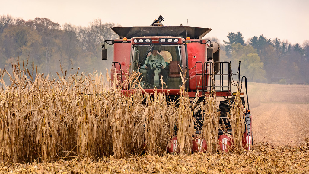
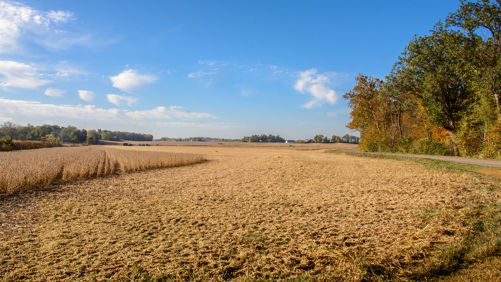
Harvesting the Corn
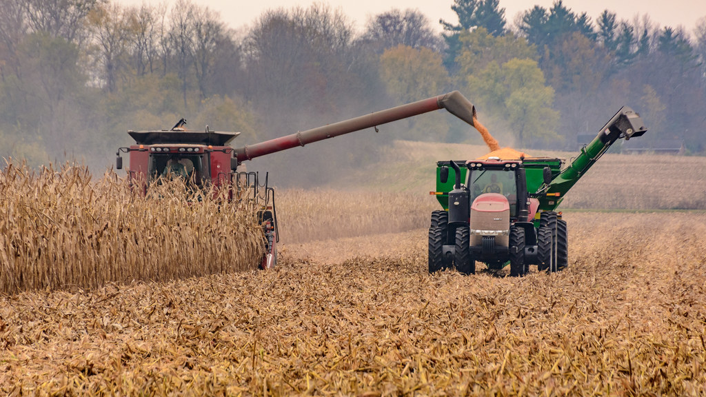
Transfering Corn to the Wagon

Deerlick at Twilight
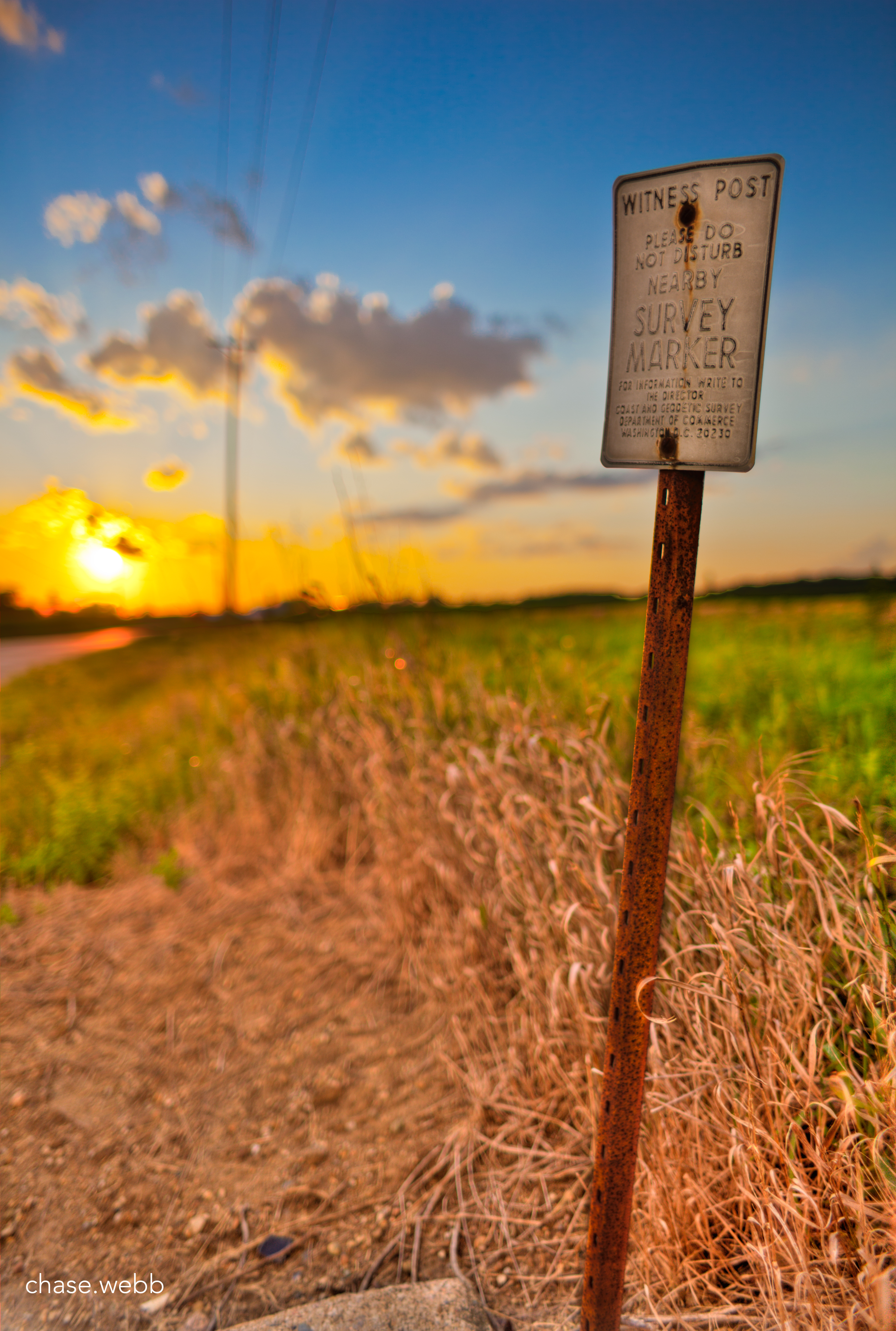
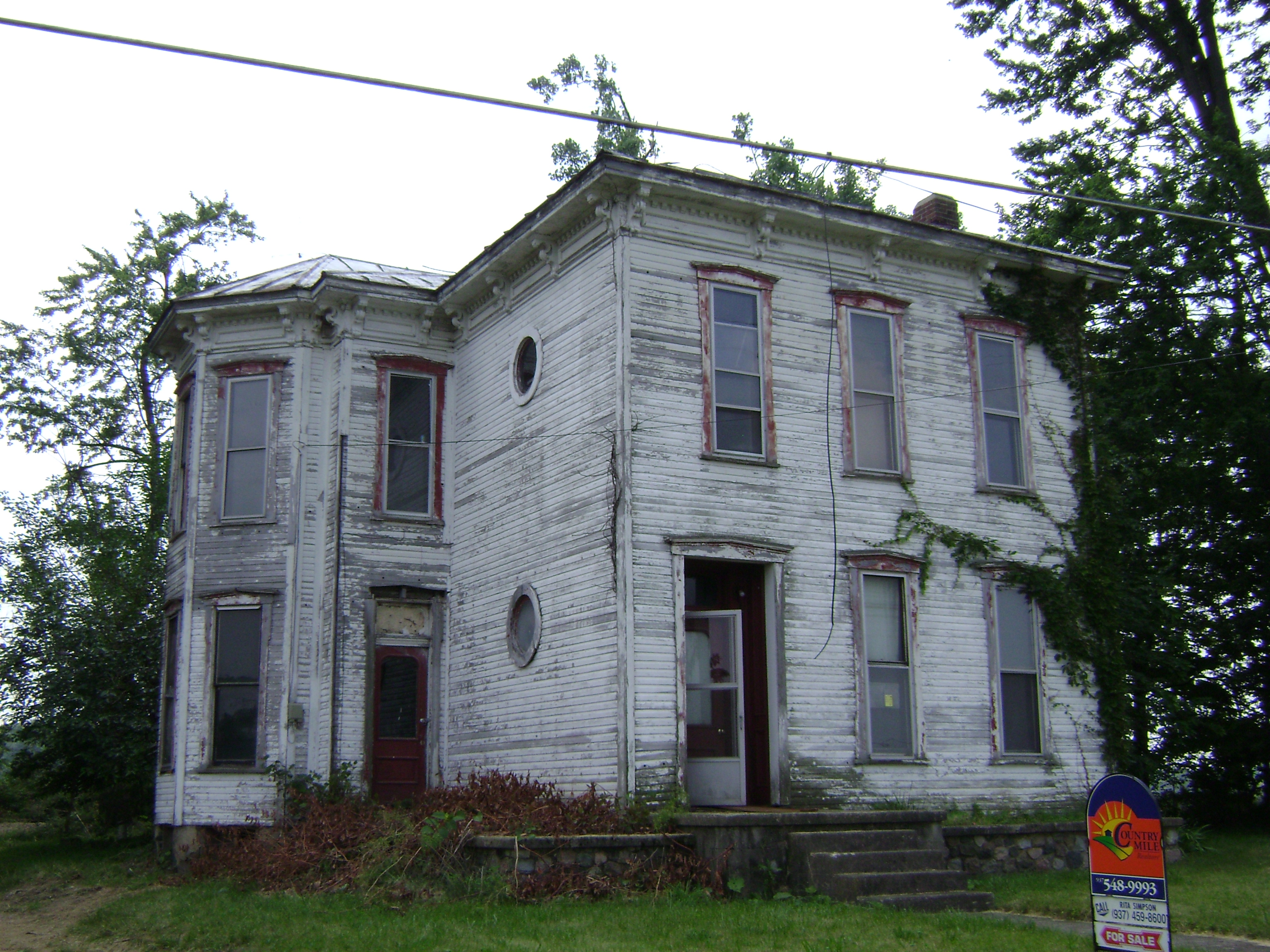
The Weathered Sign
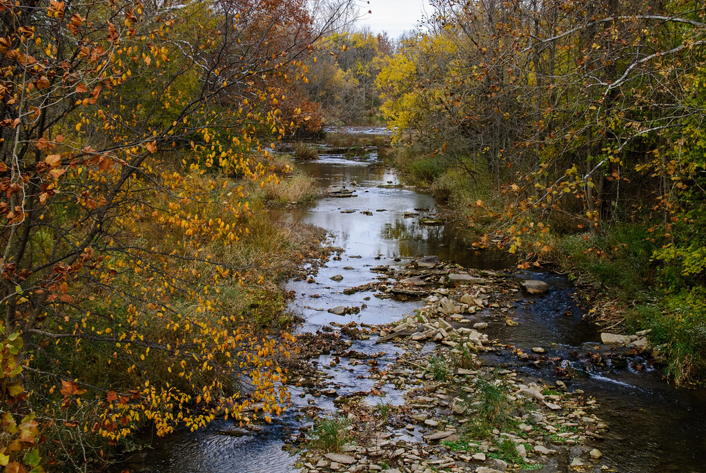
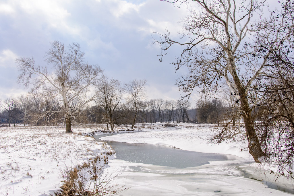
A River Runs Through It
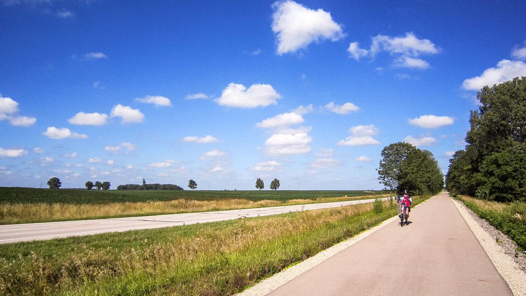
Cardinal Greenway along U.S. 35

High Point in Indiana

Hoosier Hill
Soybean Harvest
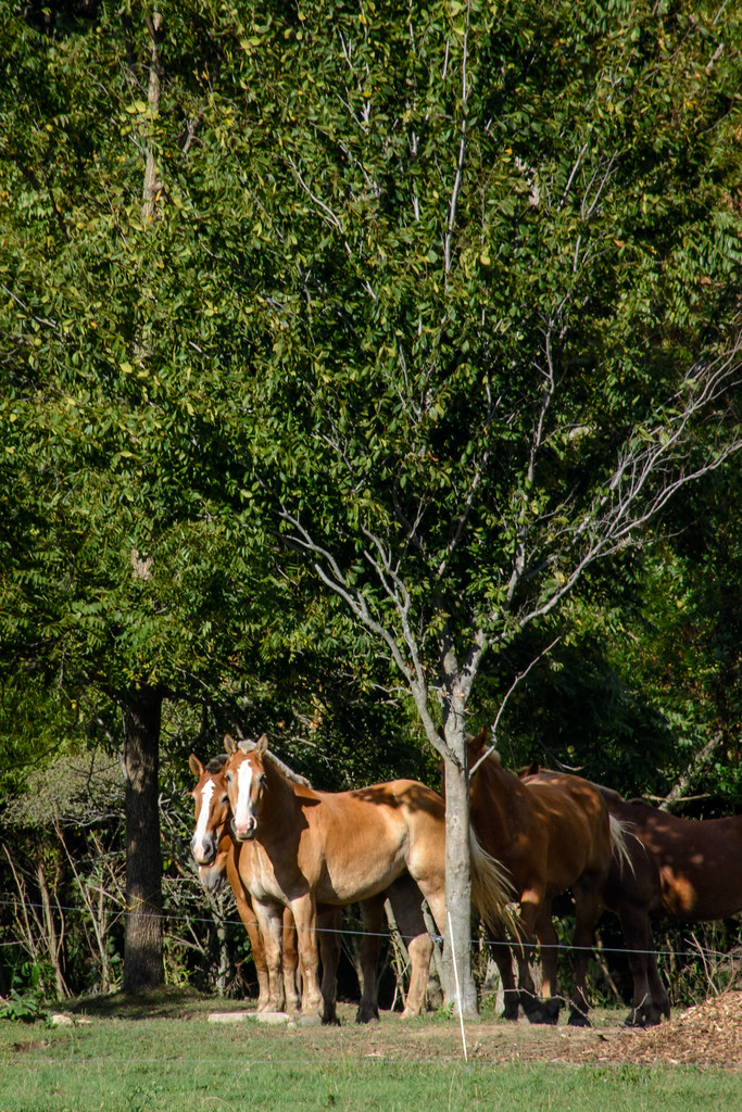
Work Horses
Middle Fork of the Whitewater River
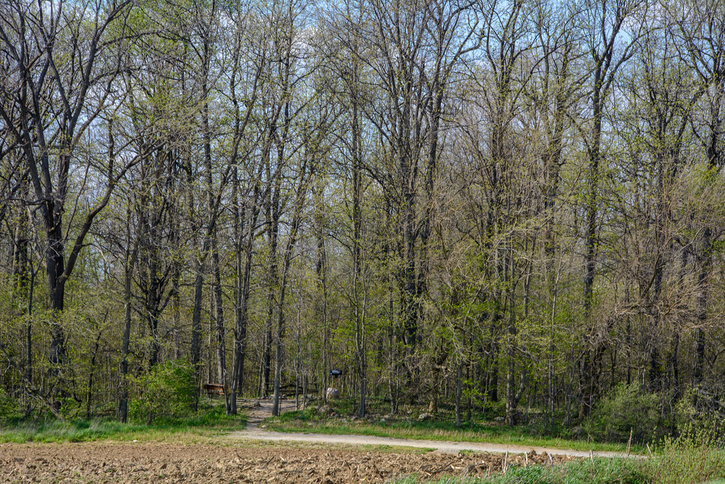
Deerlick Farm

U.S. 35 Bridge
Ready to Bale Straw
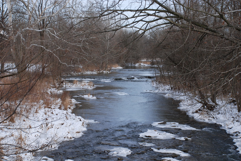
Whitewater River
Pumpkin Patch
Highest Point in Indiana
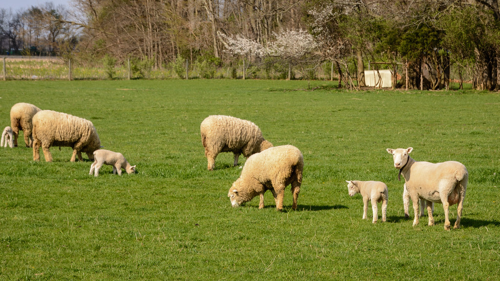
Spring Lambing Time
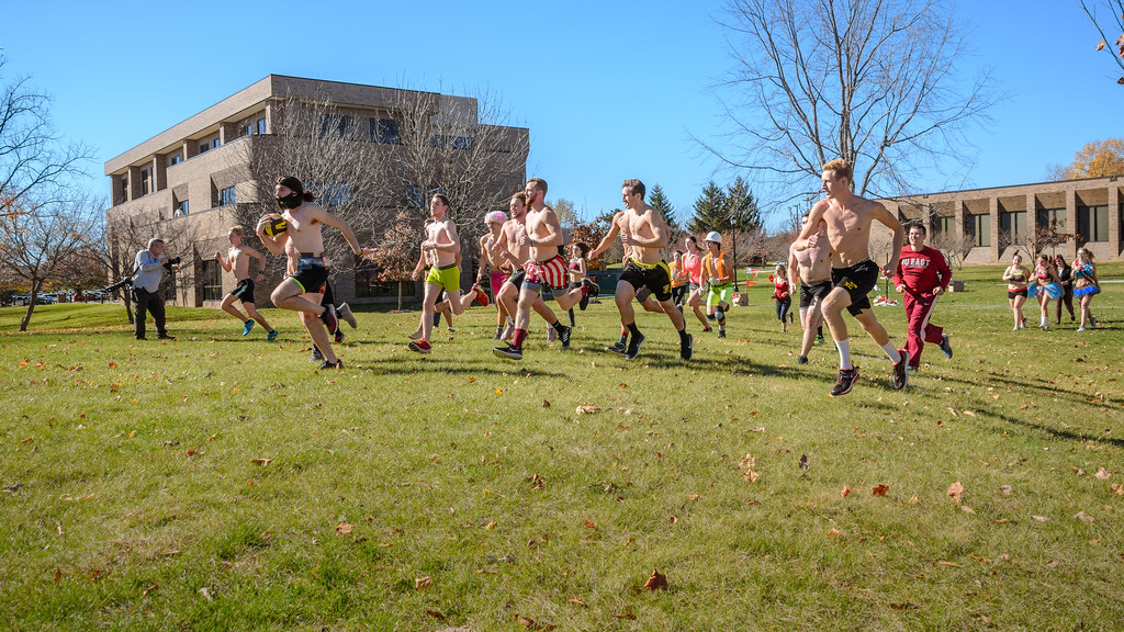
Nearly Naked Mile
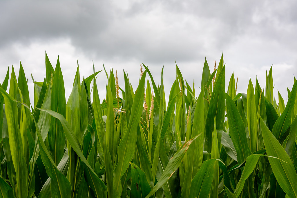
Just Beginning to Tassle
Topographic Map of S Arba Pike, Lynn, IN, USA
Find elevation by address:

Places near S Arba Pike, Lynn, IN, USA:
Hoosier Hill
S Arba Pike, Lynn, IN, USA
9986 Elliott Rd
7766 S Boundary Pike
Greensfork Township
Bethel
Franklin Township
9708 In-227
6894 S Boundary Pike
New Garden Township
Chenoweth Rd, Hollansburg, OH, USA
Hollansburg
Fountain City
W Main Fountain City Pike, Fountain City, IN, USA
415 Chenoweth Rd
224 E Church St
US-36, Greenville, OH, USA
Lynn
N Main St, Winchester, IN, USA
503 W Church St
Recent Searches:
- Elevation of Fern Rd, Whitmore, CA, USA
- Elevation of 62 Abbey St, Marshfield, MA, USA
- Elevation of Fernwood, Bradenton, FL, USA
- Elevation of Felindre, Swansea SA5 7LU, UK
- Elevation of Leyte Industrial Development Estate, Isabel, Leyte, Philippines
- Elevation of W Granada St, Tampa, FL, USA
- Elevation of Pykes Down, Ivybridge PL21 0BY, UK
- Elevation of Jalan Senandin, Lutong, Miri, Sarawak, Malaysia
- Elevation of Bilohirs'k
- Elevation of 30 Oak Lawn Dr, Barkhamsted, CT, USA