Elevation of Franklin Township, IN, USA
Location: United States > Indiana > Wayne County >
Longitude: -84.835939
Latitude: 39.9690461
Elevation: 359m / 1178feet
Barometric Pressure: 97KPa
Elevation Map:
Satellite Map:
Related Photos:

The Cardinal Once Called Here

Gaar Mansion

Aerial View of the Whitewater Gorge, Looking South

Riverside Trail View

Pg 1-View in Glen Miller Park

Coming Into Richmond
The Northern Arrow Doesn't Run Here Anymore

No More Spirit

Richmond, IN

Baker, Ohio

BALD EAGLE
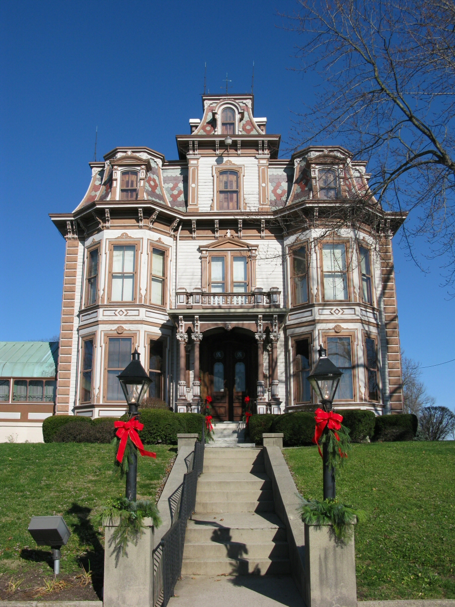
Gaar Mansion

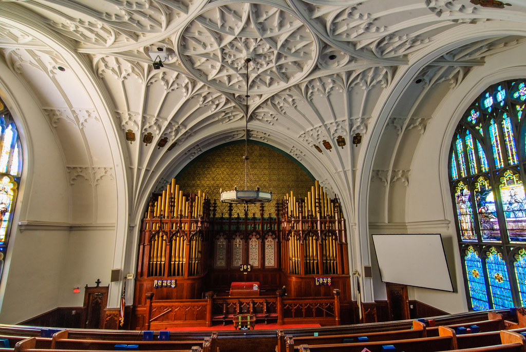
View from the Choir Loft

Gaar Mansion at Christmas

MRI at Reid Hospital

The Gennett Mansion

Autumn Reflections

Mac's Shack

Doubledecker Bus at Clara's Pizza King
View from the Balcony

Deerlick Farm
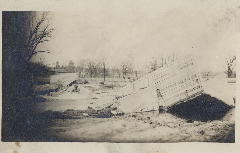
Flood of 1913 - New Paris, Ohio
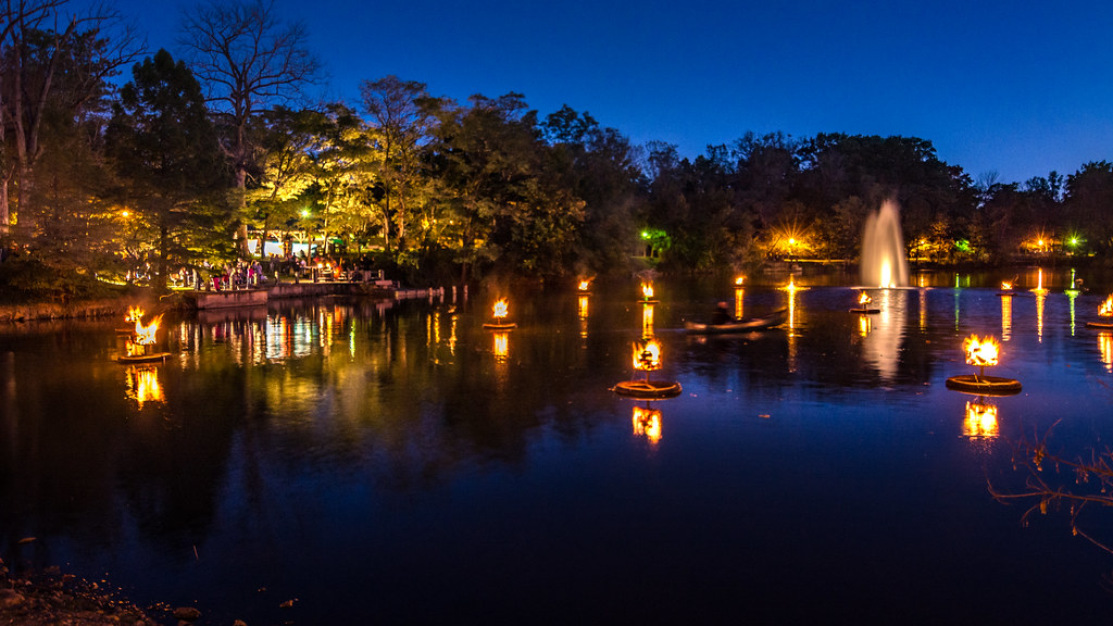
Pond Fire at City Life 2016
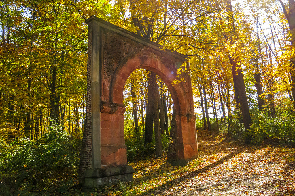
Garfield Arch

Fishing Boats
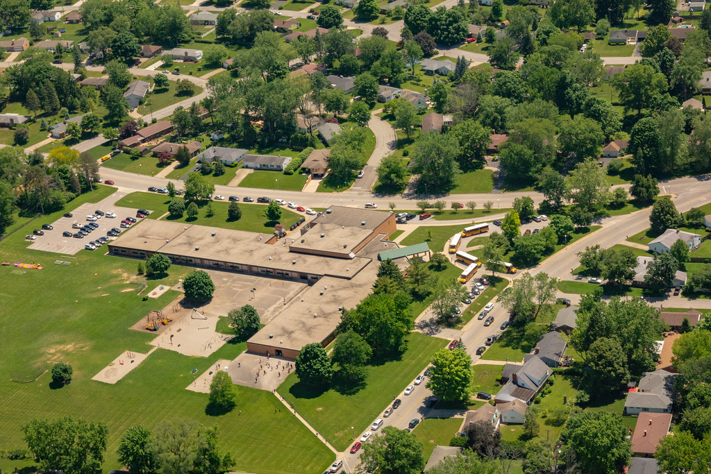
Aerial View of Charles Elementary School

Wayne County Sunset

Aerial View of Richmond's Government Campus

Springwood Lake

Aerial View of Veteran's Memorial Park
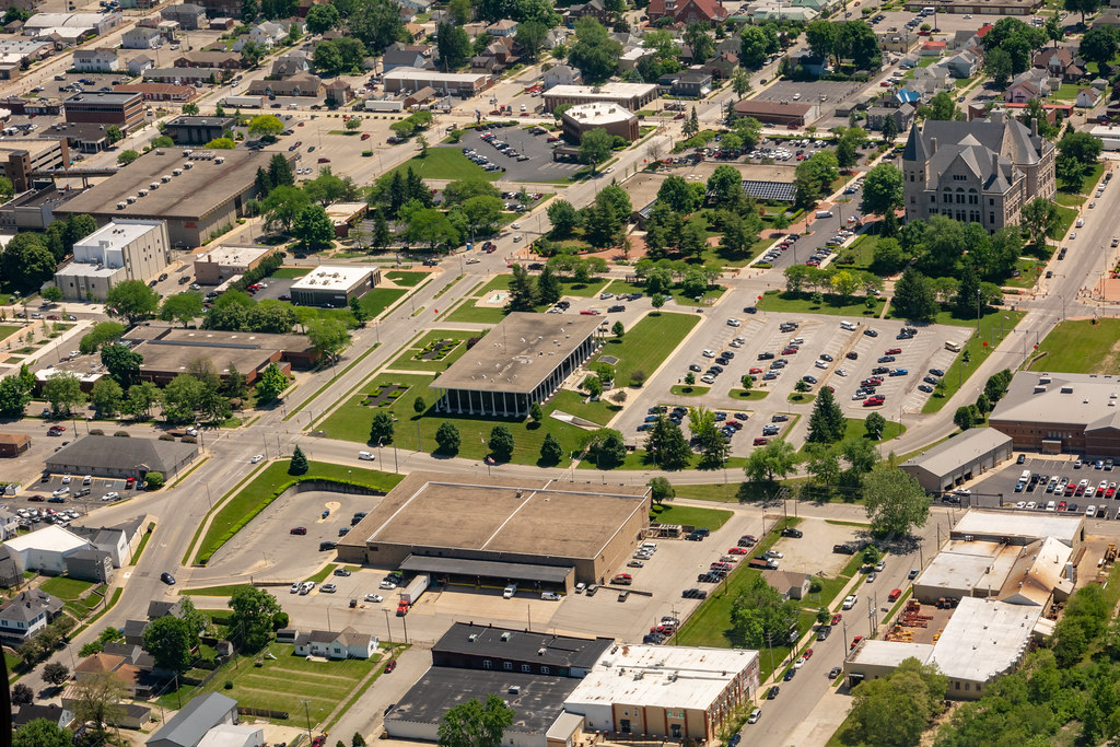
Aerial View of the Government Campus in Richmond

Two roads diverged in a yellow wood

Aerial View of U.S. 40, Looking West

Aerial View of US 27 and I-70 Interchange

Aerial View of Reid Health and US 27 Interchange

Pond at the former Glen Miller Park Golf Course

Thistlethwaite Falls near Richmond, Indiana

Ferns at Hayes Arboretum
Deerlick Farm

Hayes House
Topographic Map of Franklin Township, IN, USA
Find elevation by address:

Places near Franklin Township, IN, USA:
9708 In-227
9986 Elliott Rd
Bethel
Hoosier Hill
Hollansburg
S Arba Pike, Lynn, IN, USA
415 Chenoweth Rd
Chenoweth Rd, Hollansburg, OH, USA
S Arba Pike, Lynn, IN, USA
Fountain City
W Main Fountain City Pike, Fountain City, IN, USA
New Garden Township
US-36, Greenville, OH, USA
Greensfork Township
7766 S Boundary Pike
6894 S Boundary Pike
Liberty Township
Liberty Township
Liberty Township
Liberty Township
Recent Searches:
- Elevation of Elwyn Dr, Roanoke Rapids, NC, USA
- Elevation of Congressional Dr, Stevensville, MD, USA
- Elevation of Bellview Rd, McLean, VA, USA
- Elevation of Stage Island Rd, Chatham, MA, USA
- Elevation of Shibuya Scramble Crossing, 21 Udagawacho, Shibuya City, Tokyo -, Japan
- Elevation of Jadagoniai, Kaunas District Municipality, Lithuania
- Elevation of Pagonija rock, Kranto 7-oji g. 8"N, Kaunas, Lithuania
- Elevation of Co Rd 87, Jamestown, CO, USA
- Elevation of Tenjo, Cundinamarca, Colombia
- Elevation of Côte-des-Neiges, Montreal, QC H4A 3J6, Canada