Elevation of Greensfork Township, IN, USA
Location: United States > Indiana > Randolph County >
Longitude: -84.877639
Latitude: 40.052773
Elevation: 365m / 1198feet
Barometric Pressure: 97KPa
Elevation Map:
Satellite Map:
Related Photos:
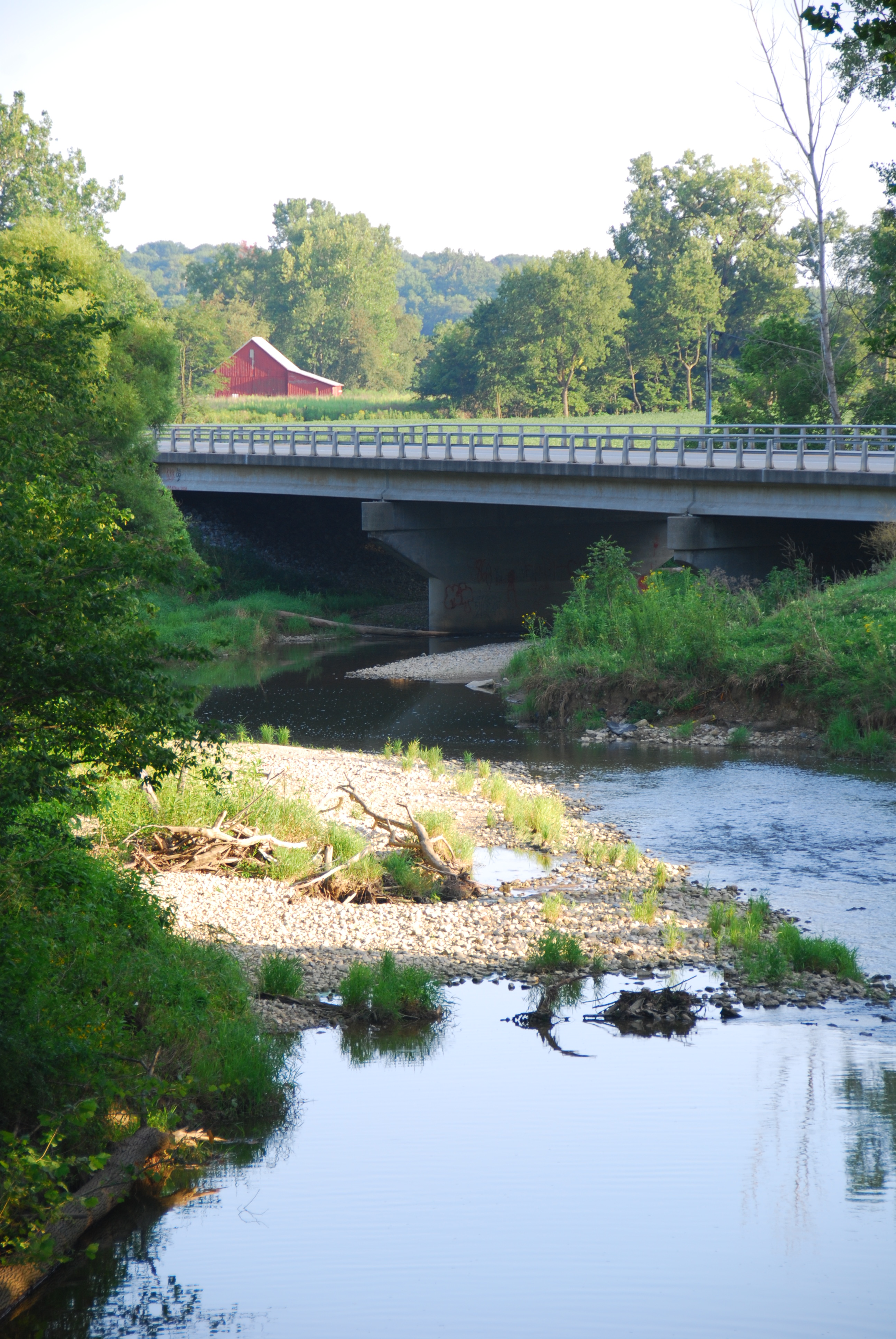
Greensfork River Bridge
Baker, Ohio
Cleveland, Cincinnati, Chicago & St. Louis Railway, (New York Central Railroad), Indiana, Winchester (13,436)
Cleveland, Cincinnati, Chicago & St. Louis Railway, (New York Central Railroad), Indiana, Winchester (13,436-b)
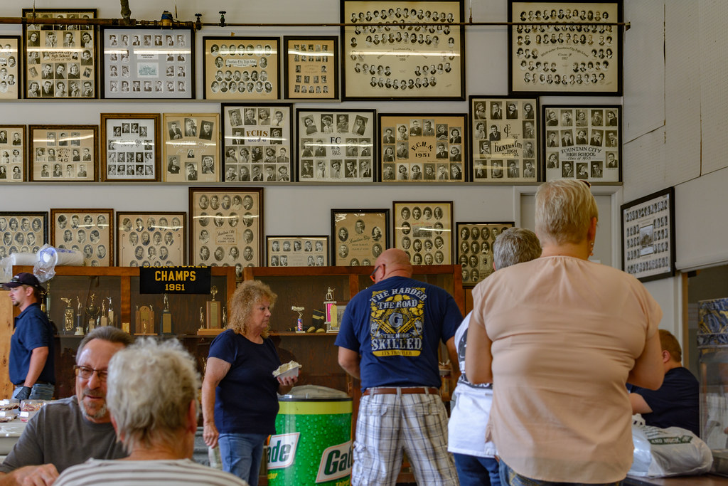
FCHS Composites
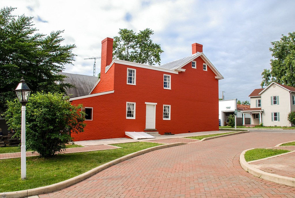
Levi Coffin House
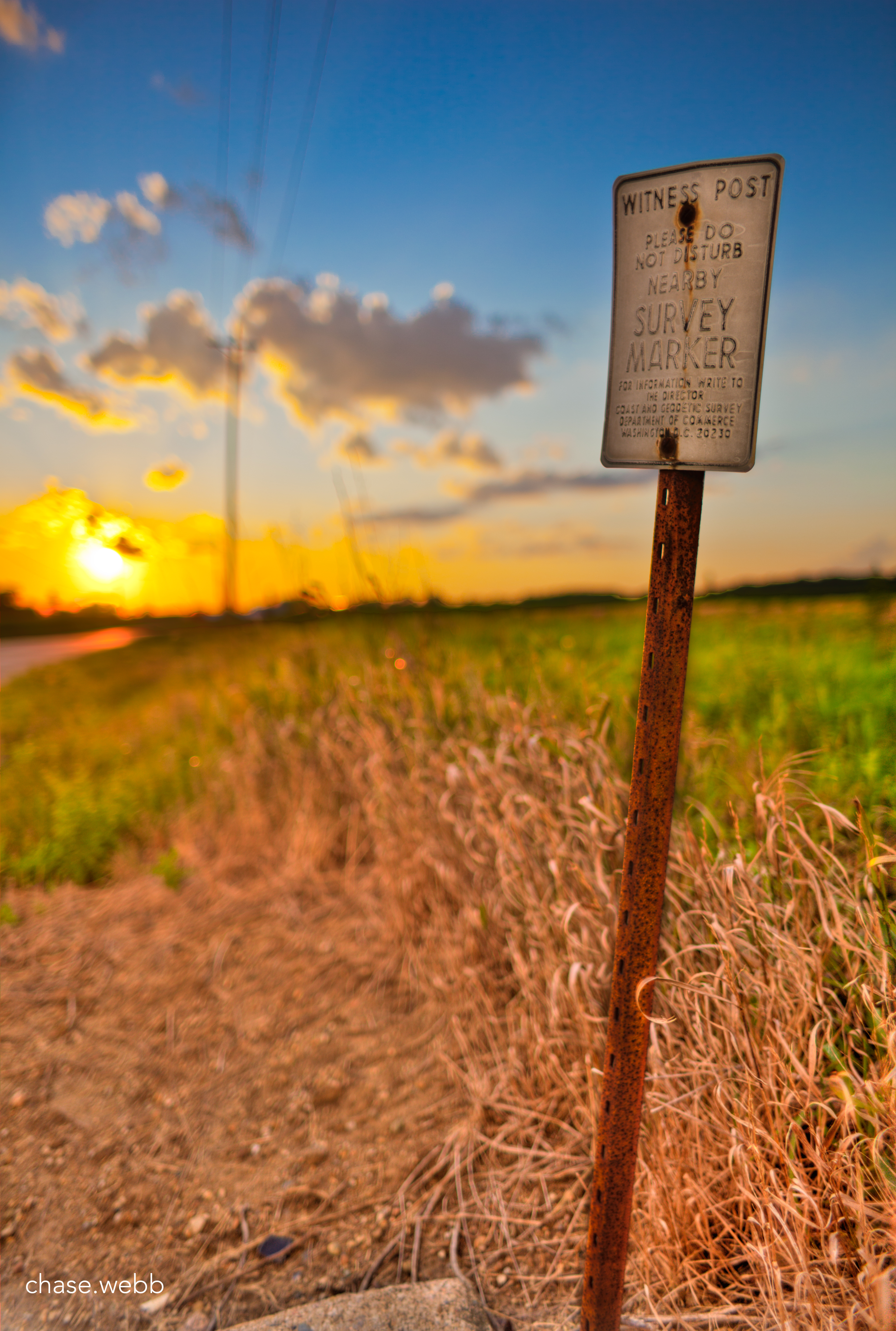
The Weathered Sign

High Point in Indiana

Hoosier Hill
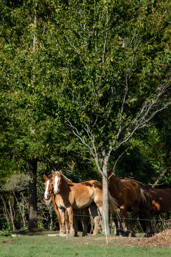
Work Horses

U.S. 35 Bridge
Ready to Bale Straw
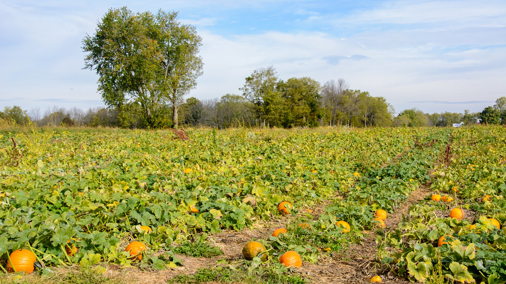
Pumpkin Patch
Highest Point in Indiana
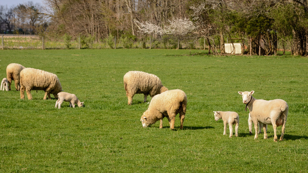
Spring Lambing Time
Pumpkin Patch near Fountain City, Indiana
Randolph County Windmills

Tower on the Farm
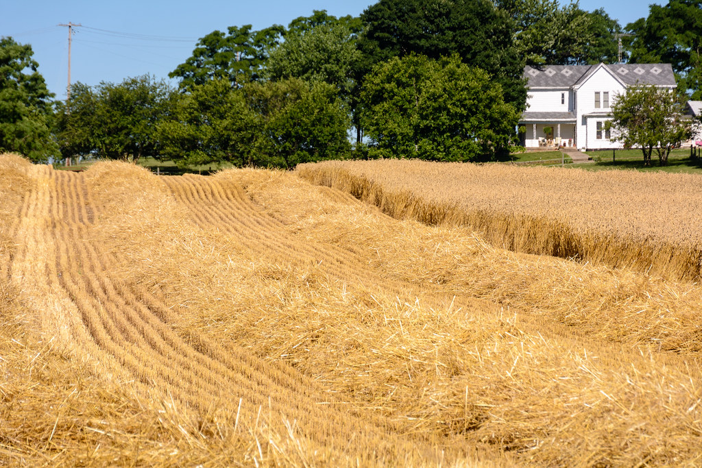
Fall Harvest Completed

The open skies
Topographic Map of Greensfork Township, IN, USA
Find elevation by address:

Places in Greensfork Township, IN, USA:
Places near Greensfork Township, IN, USA:
7766 S Boundary Pike
6894 S Boundary Pike
S Arba Pike, Lynn, IN, USA
S Arba Pike, Lynn, IN, USA
224 E Church St
Hoosier Hill
Lynn
N Main St, Winchester, IN, USA
503 W Church St
Bethel
US-36, Greenville, OH, USA
9986 Elliott Rd
New Garden Township
Franklin Township
9708 In-227
Chenoweth Rd, Hollansburg, OH, USA
415 Chenoweth Rd
Hollansburg
Fountain City
W Main Fountain City Pike, Fountain City, IN, USA
Recent Searches:
- Elevation of Tenjo, Cundinamarca, Colombia
- Elevation of Côte-des-Neiges, Montreal, QC H4A 3J6, Canada
- Elevation of Bobcat Dr, Helena, MT, USA
- Elevation of Zu den Ihlowbergen, Althüttendorf, Germany
- Elevation of Badaber, Peshawar, Khyber Pakhtunkhwa, Pakistan
- Elevation of SE Heron Loop, Lincoln City, OR, USA
- Elevation of Slanický ostrov, 01 Námestovo, Slovakia
- Elevation of Spaceport America, Co Rd A, Truth or Consequences, NM, USA
- Elevation of Warwick, RI, USA
- Elevation of Fern Rd, Whitmore, CA, USA