Elevation of Chenoweth Rd, Hollansburg, OH, USA
Location: United States > Ohio > Darke County > Liberty Township > Hollansburg >
Longitude: -84.79147
Latitude: 40.008384
Elevation: 351m / 1152feet
Barometric Pressure: 97KPa
Elevation Map:
Satellite Map:
Related Photos:
Baker, Ohio
Fort Jefferson, Ohio

Deerlick Farm
Whitewater River

FCHS Composites
View from Park Elwood
Levi Coffin House

Darke County Sunset 3

The Weathered Sign

Thanks to @johnbakerphotography for the wonderful...

Evening summer sky

High Point in Indiana
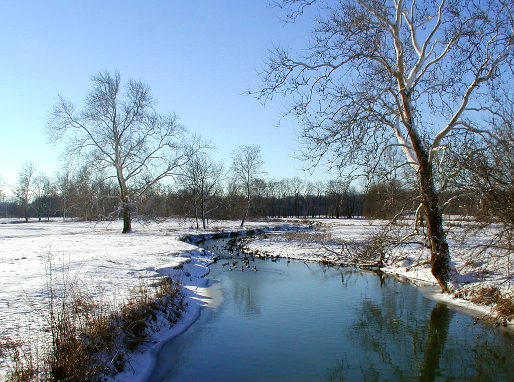
A River Runs Through It

nofilter needed, but I used one...

Deerlick at Twilight
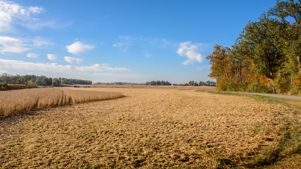
Fall Harvest Completed

Darke County Fairgrounds Sunset 1

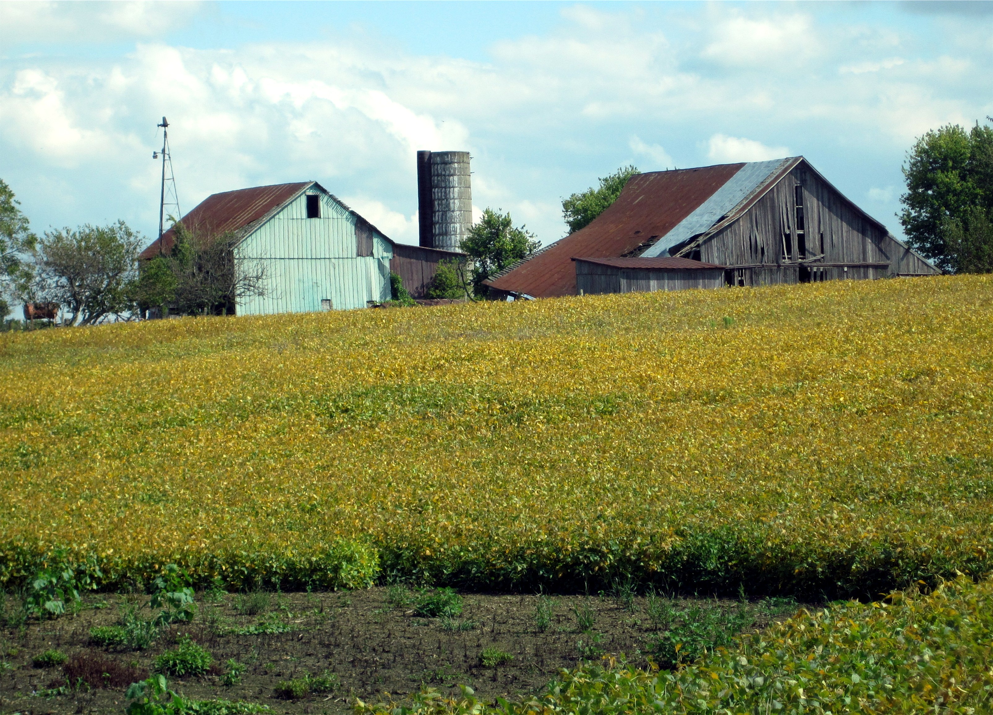
Tower on the Farm
USA Photos
Deerlick Farm
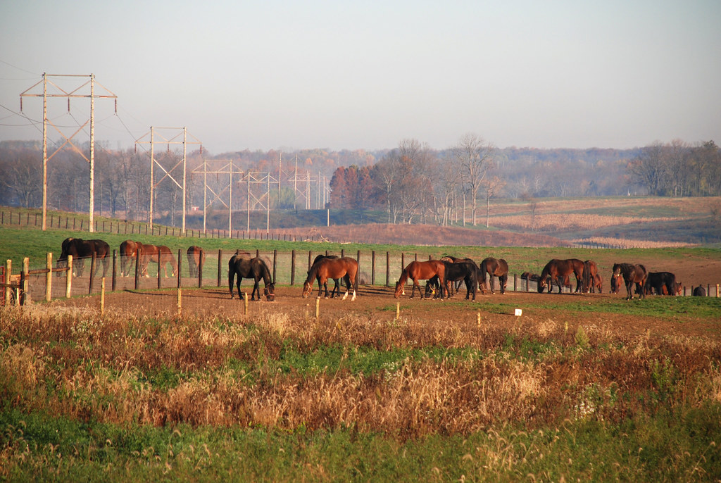
Horses on a Fall Morning
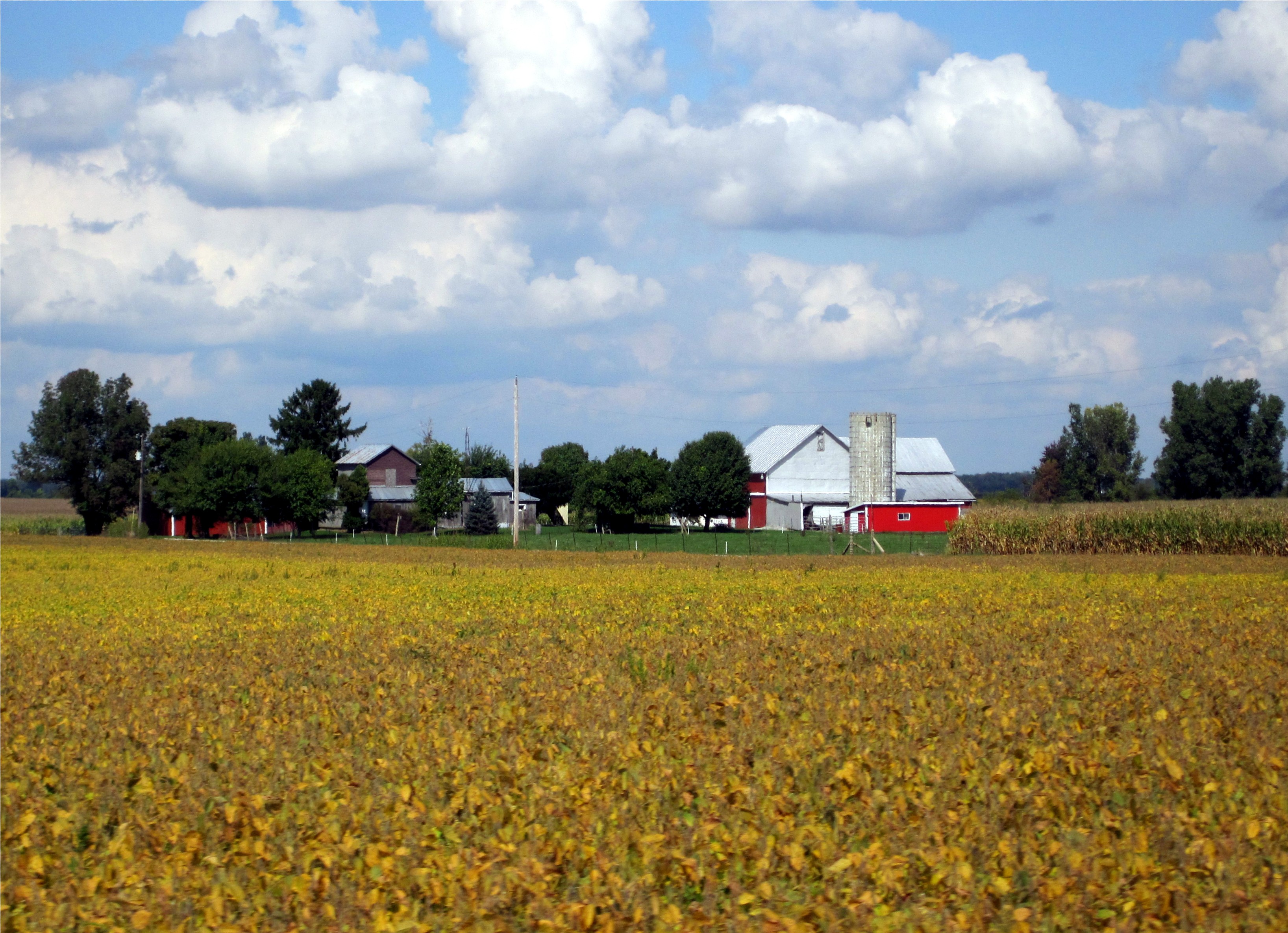
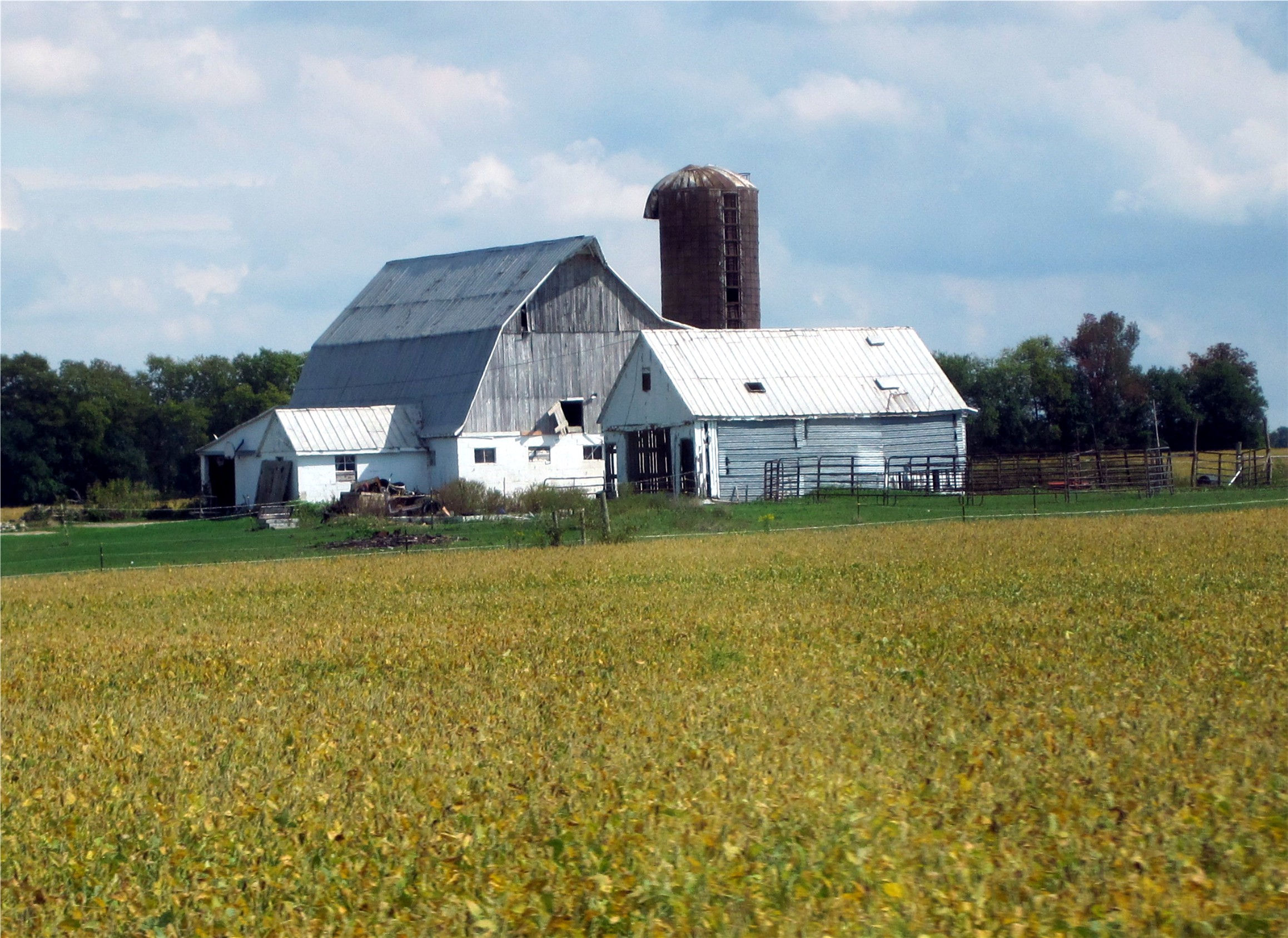
Soybean Harvest
USA Photos

Abandoned Drive-In

Hoosier Hill
USA Photos
USA Photos
Topographic Map of Chenoweth Rd, Hollansburg, OH, USA
Find elevation by address:

Places near Chenoweth Rd, Hollansburg, OH, USA:
Chenoweth Rd, Hollansburg, OH, USA
Hollansburg
US-36, Greenville, OH, USA
Bethel
Liberty Township
Liberty Township
Liberty Township
Liberty Township
Liberty Township
Liberty Township
Liberty Township
Liberty Township
Hoosier Hill
9708 In-227
Franklin Township
Palestine
9986 Elliott Rd
S Arba Pike, Lynn, IN, USA
S Arba Pike, Lynn, IN, USA
Greensfork Township
Recent Searches:
- Elevation of Woolwine, VA, USA
- Elevation of Lumagwas Diversified Farmers Multi-Purpose Cooperative, Lumagwas, Adtuyon, RV32+MH7, Pangantucan, Bukidnon, Philippines
- Elevation of Homestead Ridge, New Braunfels, TX, USA
- Elevation of Orchard Road, Orchard Rd, Marlborough, NY, USA
- Elevation of 12 Hutchinson Woods Dr, Fletcher, NC, USA
- Elevation of Holloway Ave, San Francisco, CA, USA
- Elevation of Norfolk, NY, USA
- Elevation of - San Marcos Pass Rd, Santa Barbara, CA, USA
- Elevation of th Pl SE, Issaquah, WA, USA
- Elevation of 82- D Rd, Captain Cook, HI, USA