Elevation of Orchard Rd, Cheraw, SC, USA
Location: United States > South Carolina > Chesterfield County > Cheraw >
Longitude: -79.995202
Latitude: 34.7571338
Elevation: 77m / 253feet
Barometric Pressure: 100KPa
Elevation Map:
Satellite Map:
Related Photos:

Fragile Dapperling Mushroom Cap

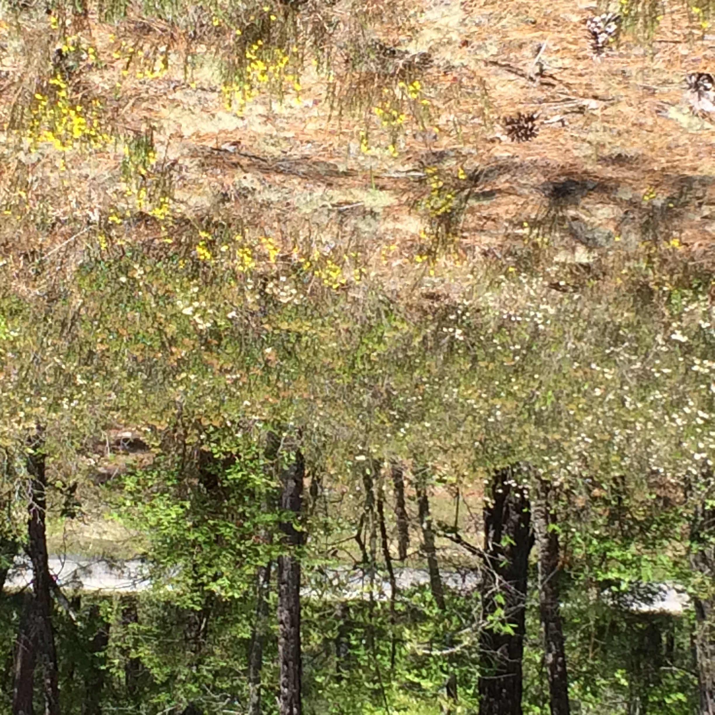
Splendid view in the woods this mornin,lucky to have my lil spread here.
Cheraw Fish House
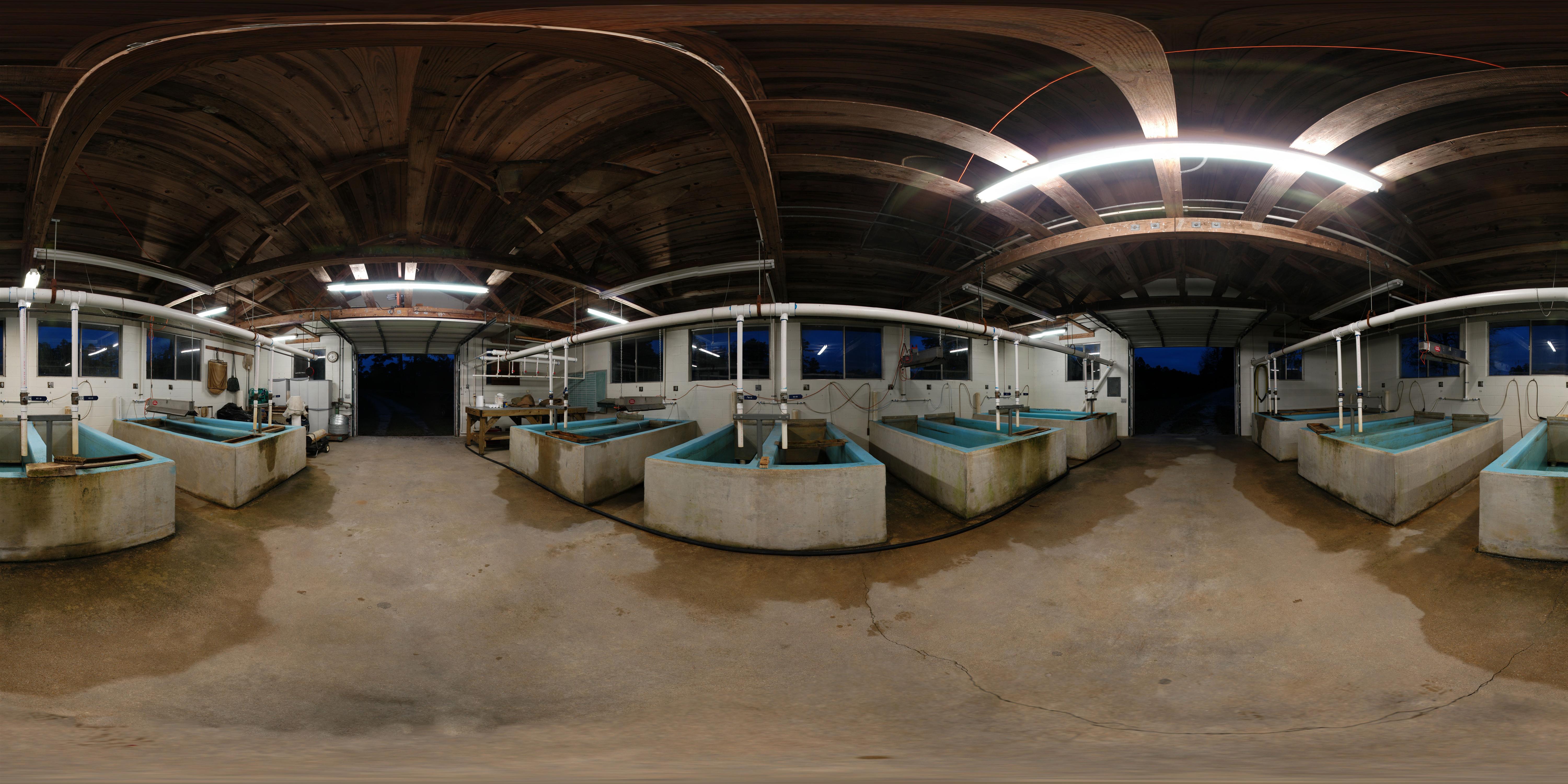
Early Morning Panorama at Cheraw Fish Hatchery

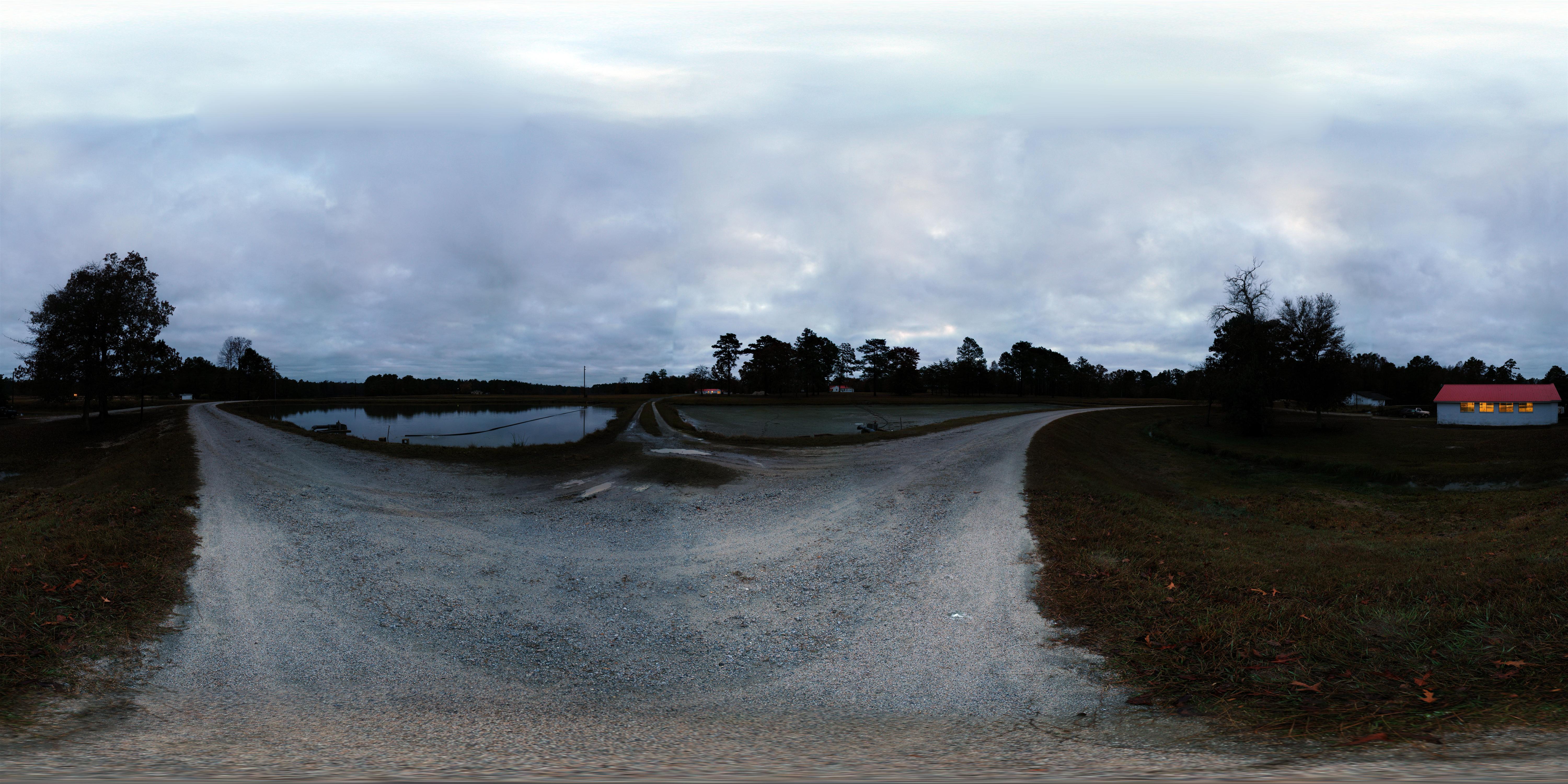
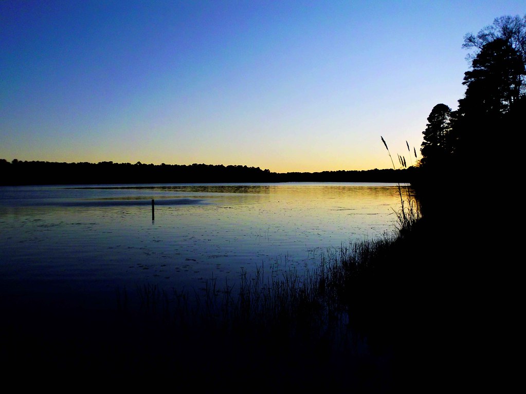
The view tonight.
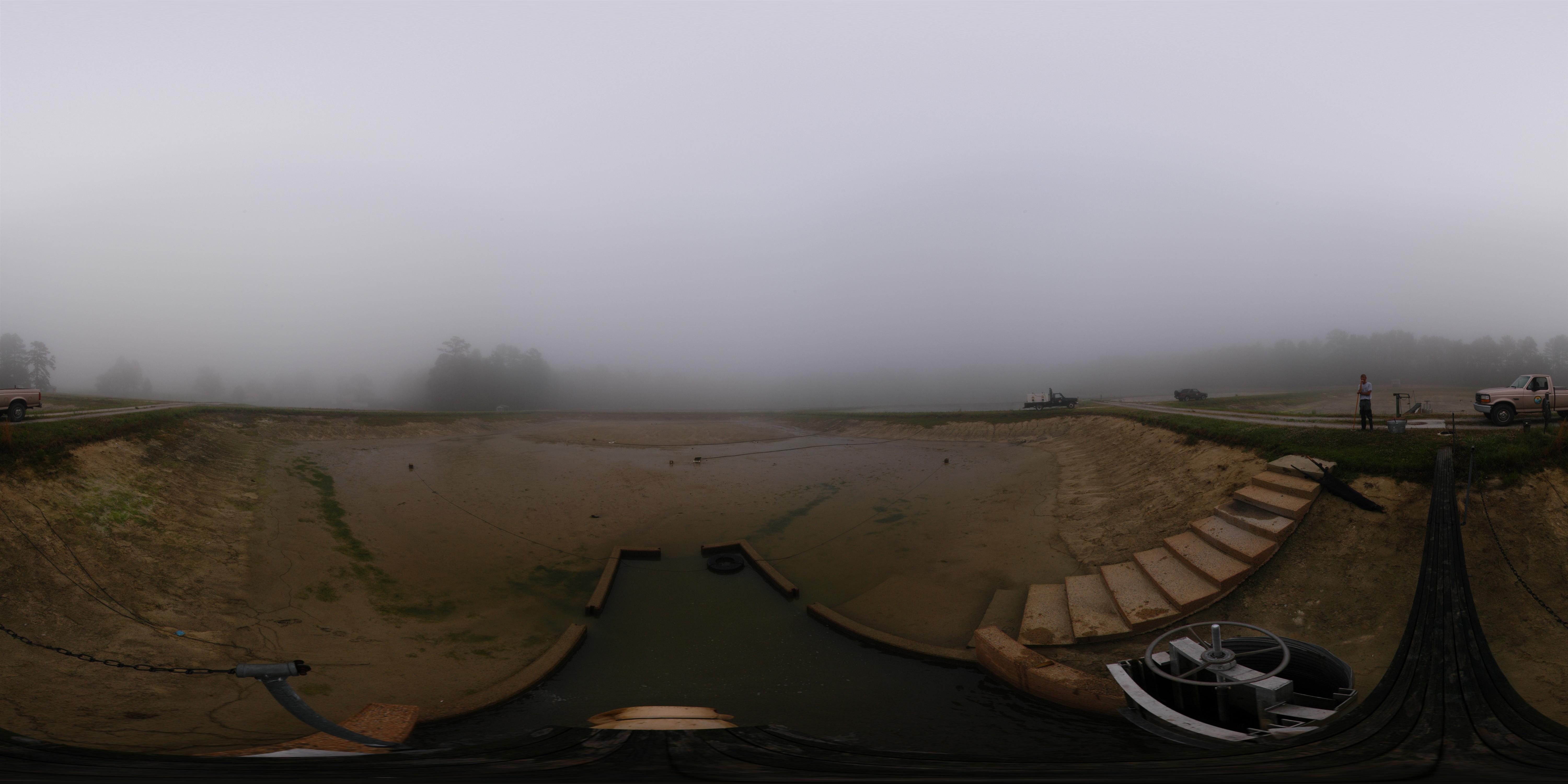
Cheraw striped bass harvest '07
The View
View towards SC 20
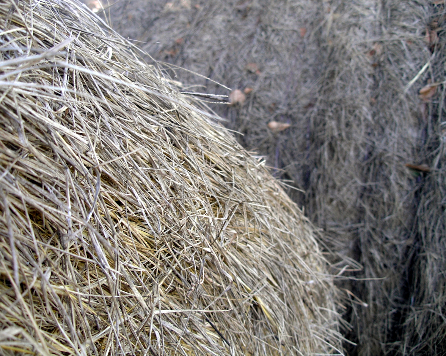
Hay Bales
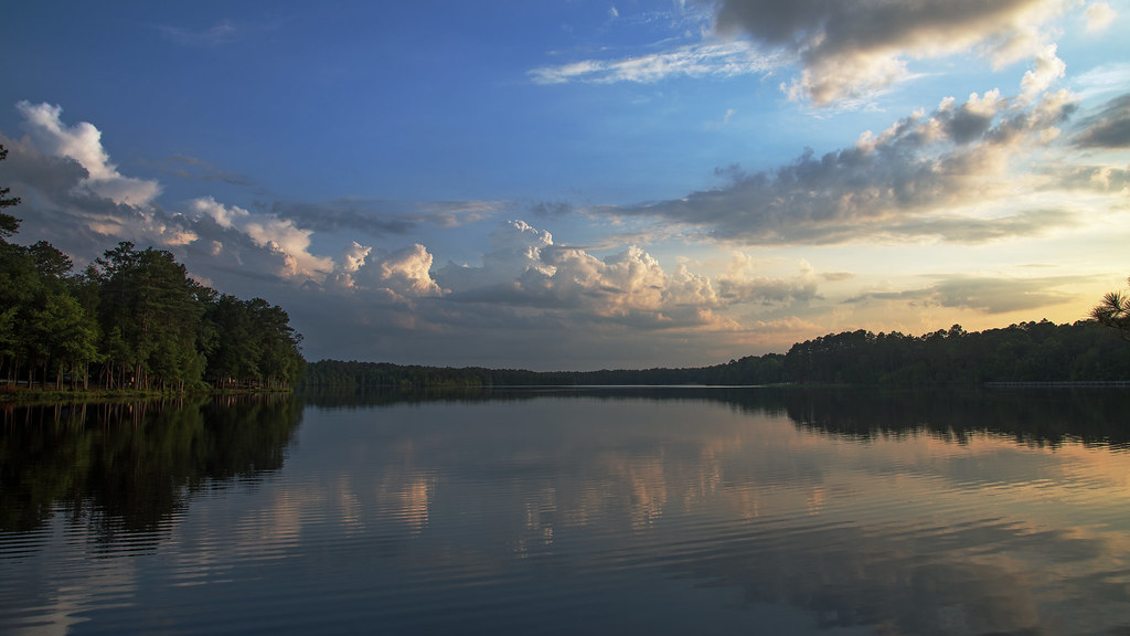
Lake Juniper, Cheraw State Park
Juniper Late Afternoon

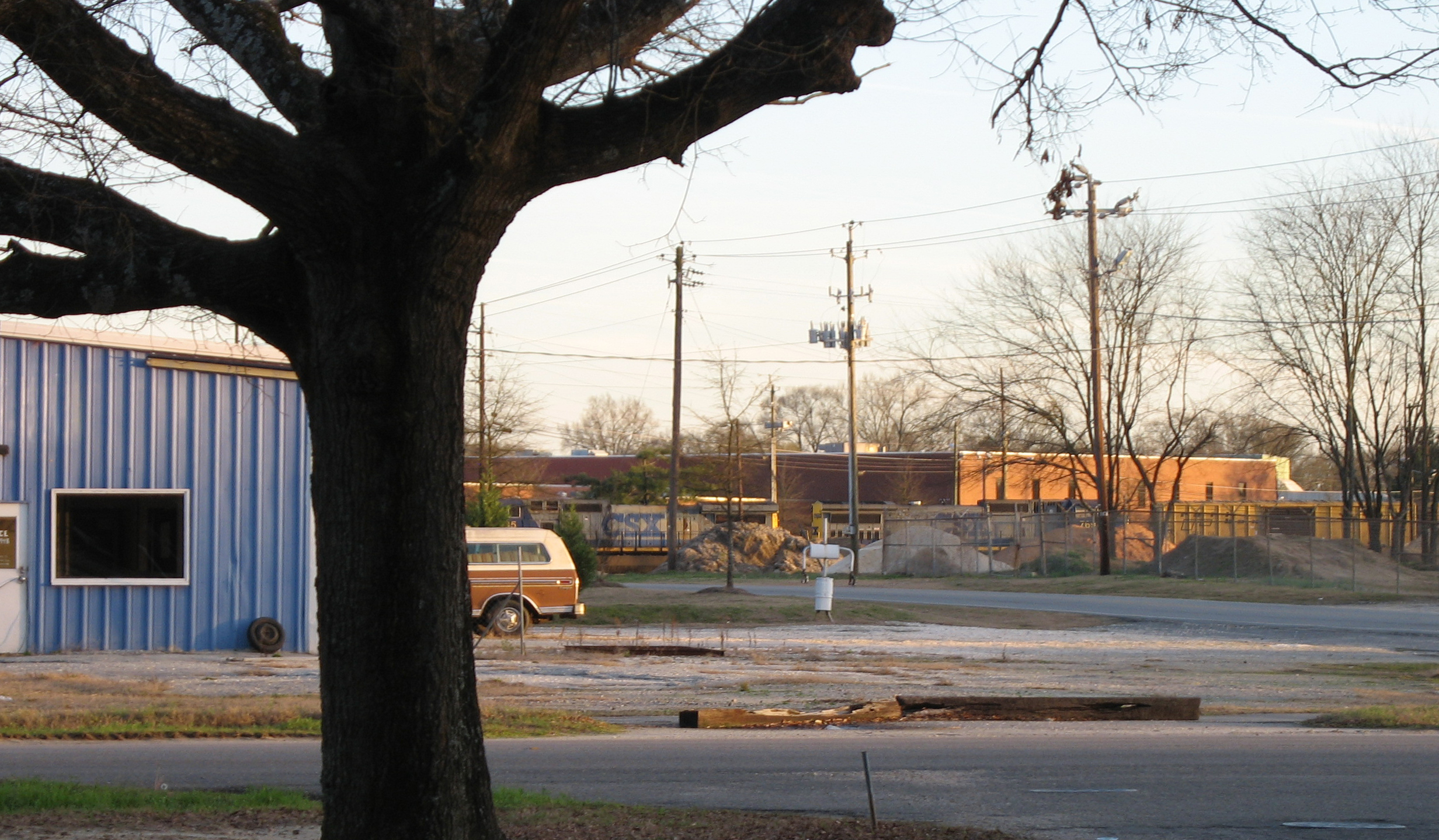
The 90's

Chain link backyard fence/dog lot is goin up. Out my house annoying dogs! Stoked! Liz's family for the win!
Topographic Map of Orchard Rd, Cheraw, SC, USA
Find elevation by address:

Places near Orchard Rd, Cheraw, SC, USA:
Fairway Road
1245 Sc-145
Main St, Chesterfield, SC, USA
Chesterfield
562 State Rd S-13-573
38 Daisy St, Cheraw, SC, USA
416 Clark St
Freeman Loop Road
631 Cane Mill Crossing Rd
Cane Mill Crossing
416 Greene St
416 Greene St
617 Kershaw St
2 Malloy St
Cheraw
4156 Sc-102
4156 Sc-102
5160 Hatcher Hill Rd
104 Will G St
104 Will G St
Recent Searches:
- Elevation of Leguwa, Nepal
- Elevation of County Rd, Enterprise, AL, USA
- Elevation of Kolchuginsky District, Vladimir Oblast, Russia
- Elevation of Shustino, Vladimir Oblast, Russia
- Elevation of Lampiasi St, Sarasota, FL, USA
- Elevation of Elwyn Dr, Roanoke Rapids, NC, USA
- Elevation of Congressional Dr, Stevensville, MD, USA
- Elevation of Bellview Rd, McLean, VA, USA
- Elevation of Stage Island Rd, Chatham, MA, USA
- Elevation of Shibuya Scramble Crossing, 21 Udagawacho, Shibuya City, Tokyo -, Japan