Elevation of Will G St, Cheraw, SC, USA
Location: United States > South Carolina > Chesterfield County > Cheraw >
Longitude: -79.884059
Latitude: 34.6482371
Elevation: 47m / 154feet
Barometric Pressure: 101KPa
Elevation Map:
Satellite Map:
Related Photos:
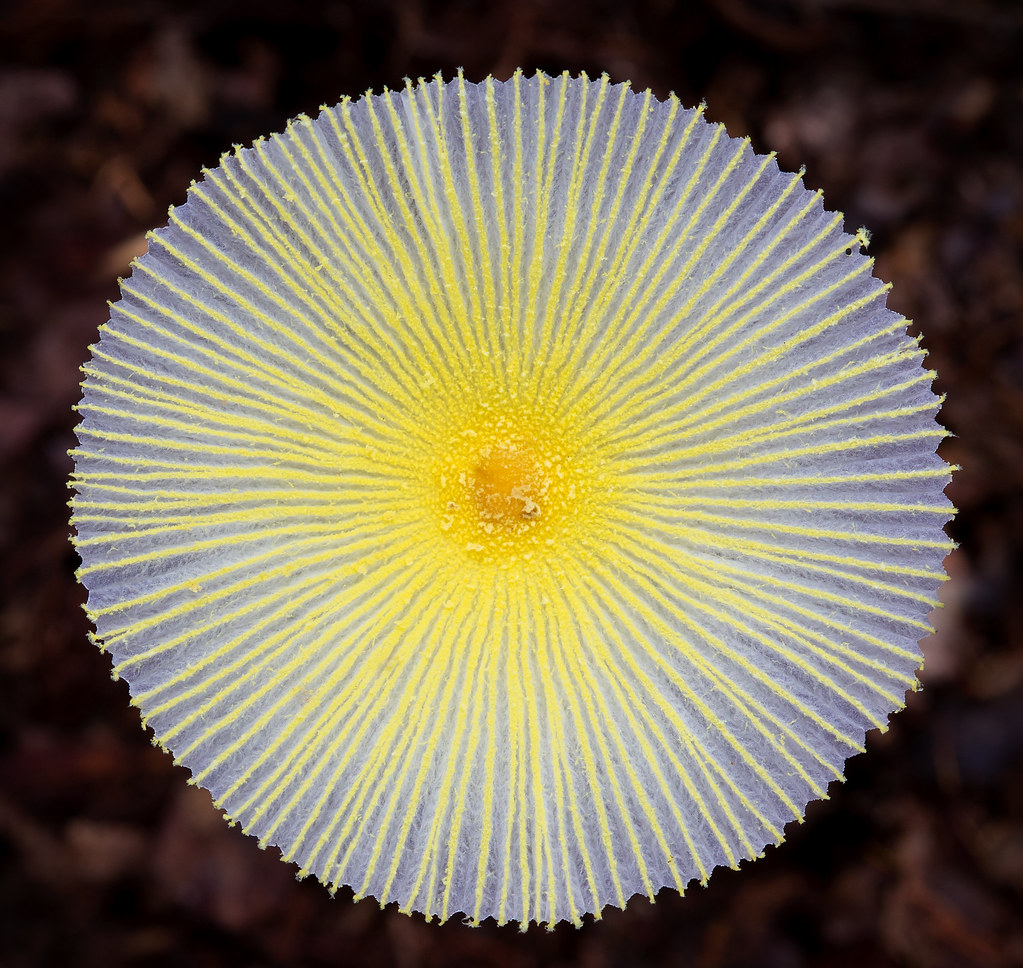
Fragile Dapperling Mushroom Cap
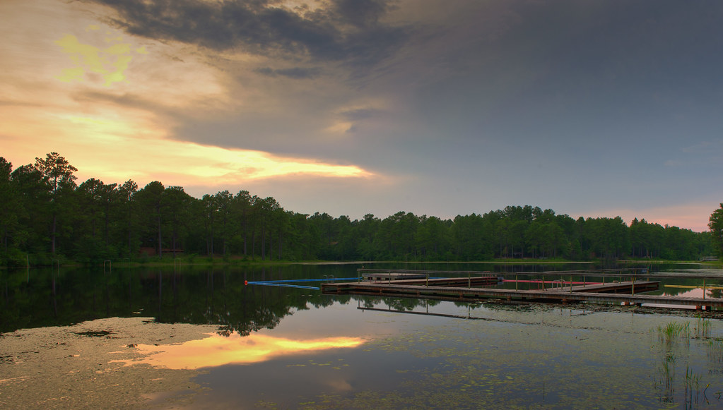
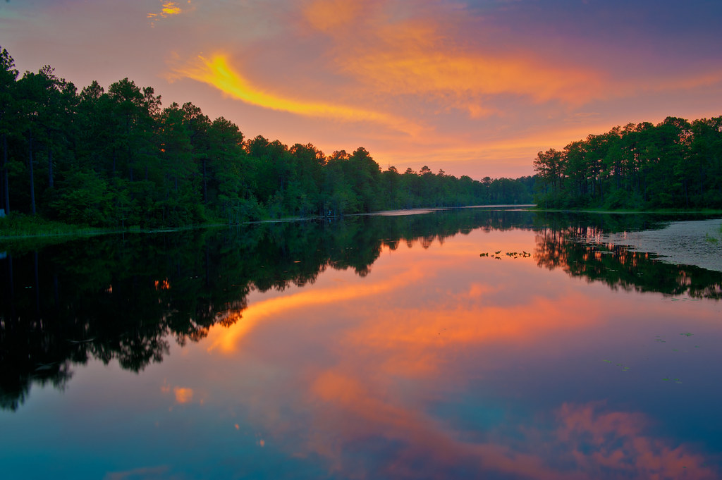
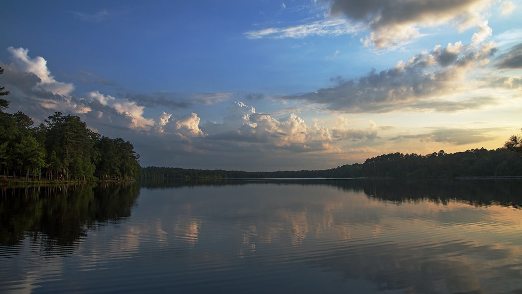
Lake Westwood
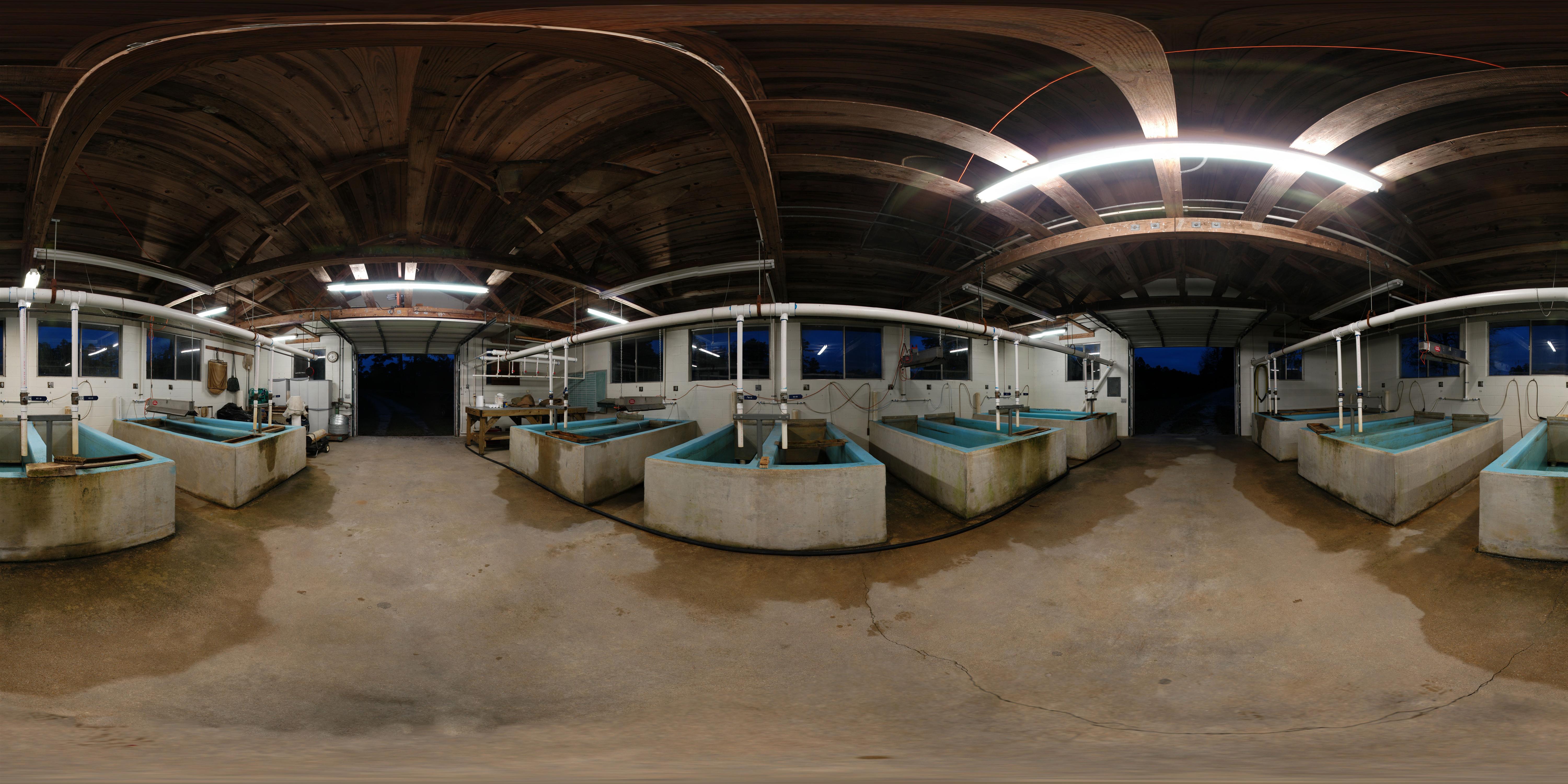
Cheraw Fish House
Cheraw striped bass harvest '07
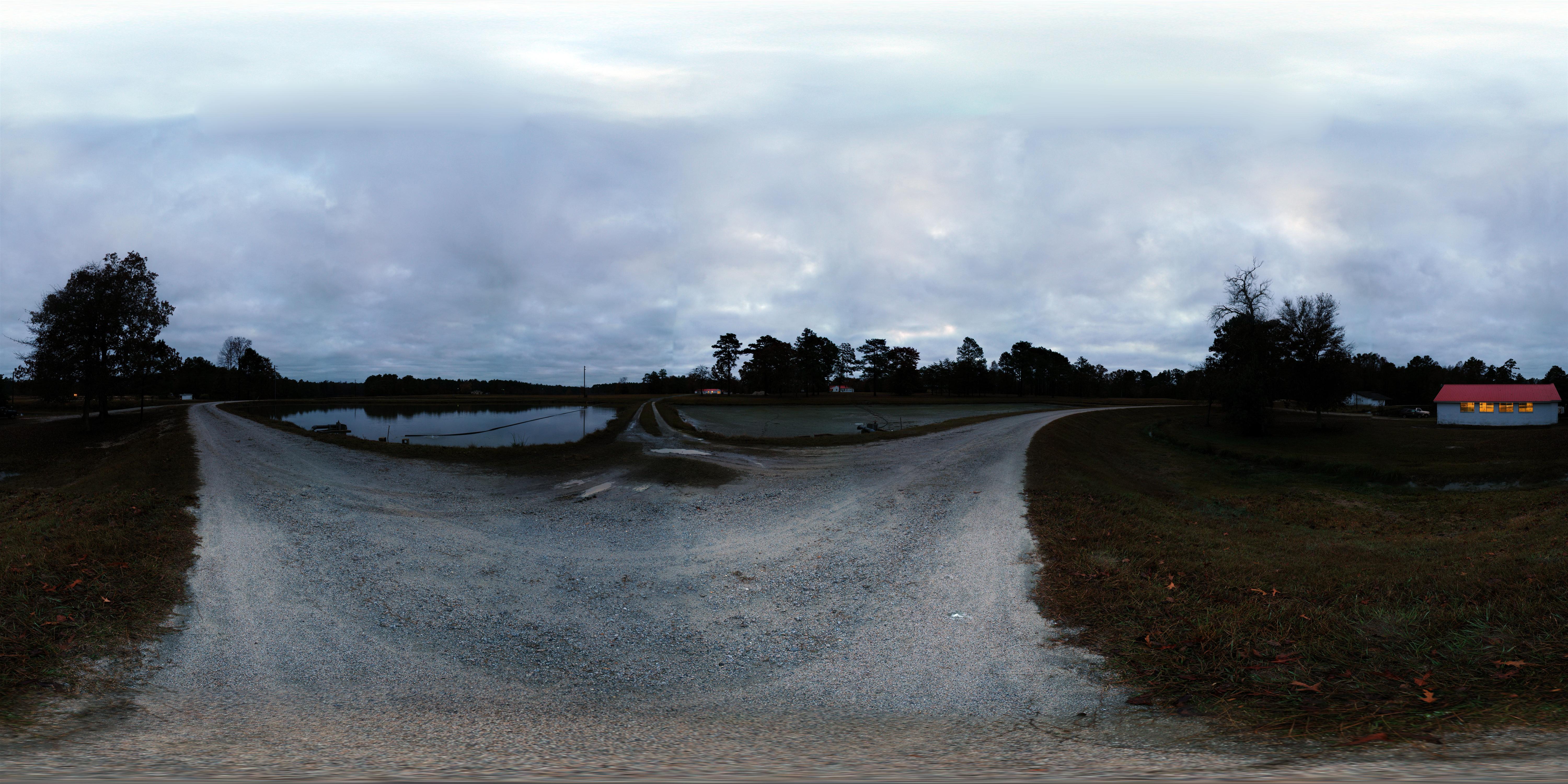
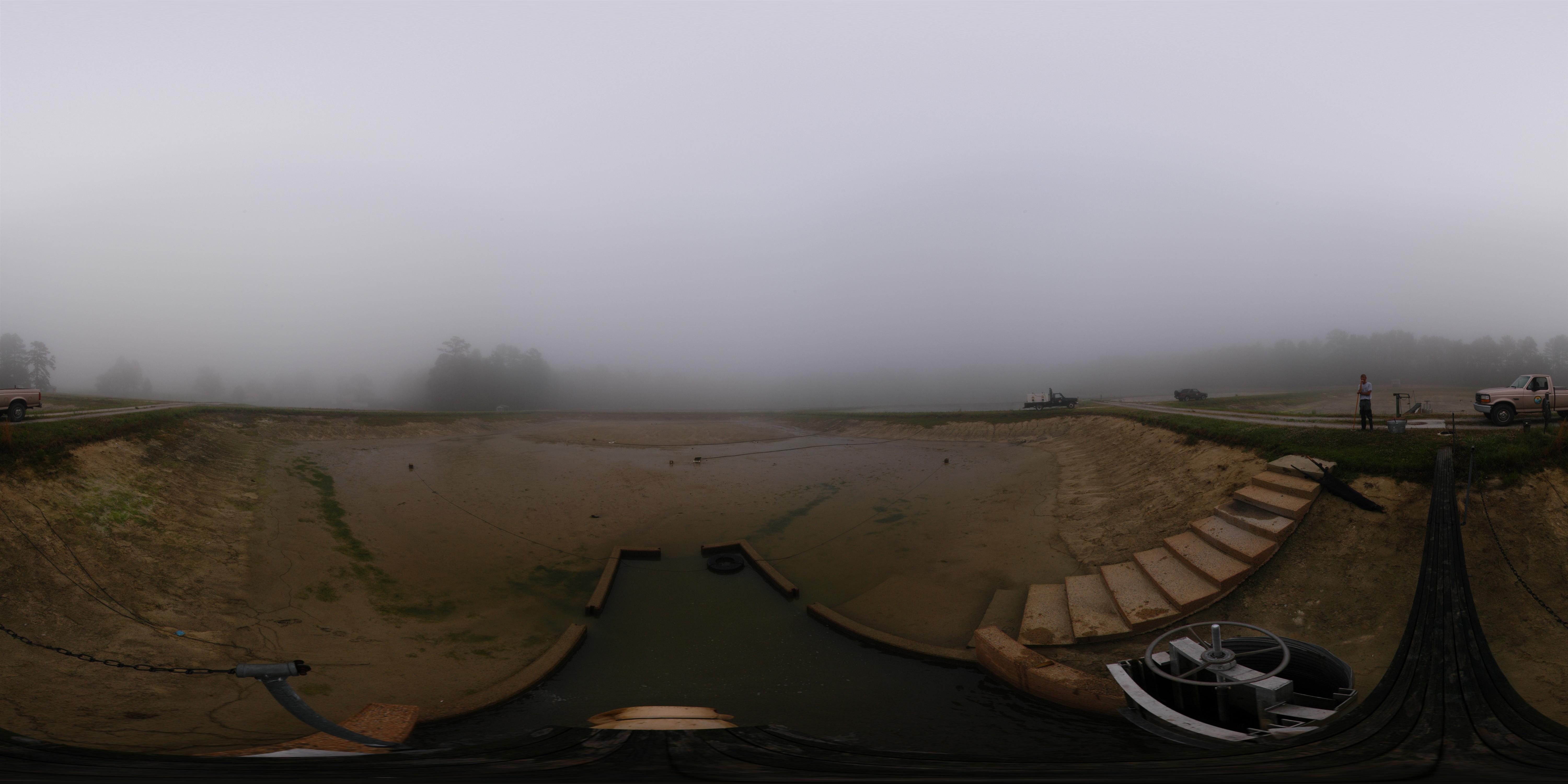
Early Morning Panorama at Cheraw Fish Hatchery
The View
RH_9: Red Hill (Ellerbe) Cemetery
View towards SC 20
Camp Coker
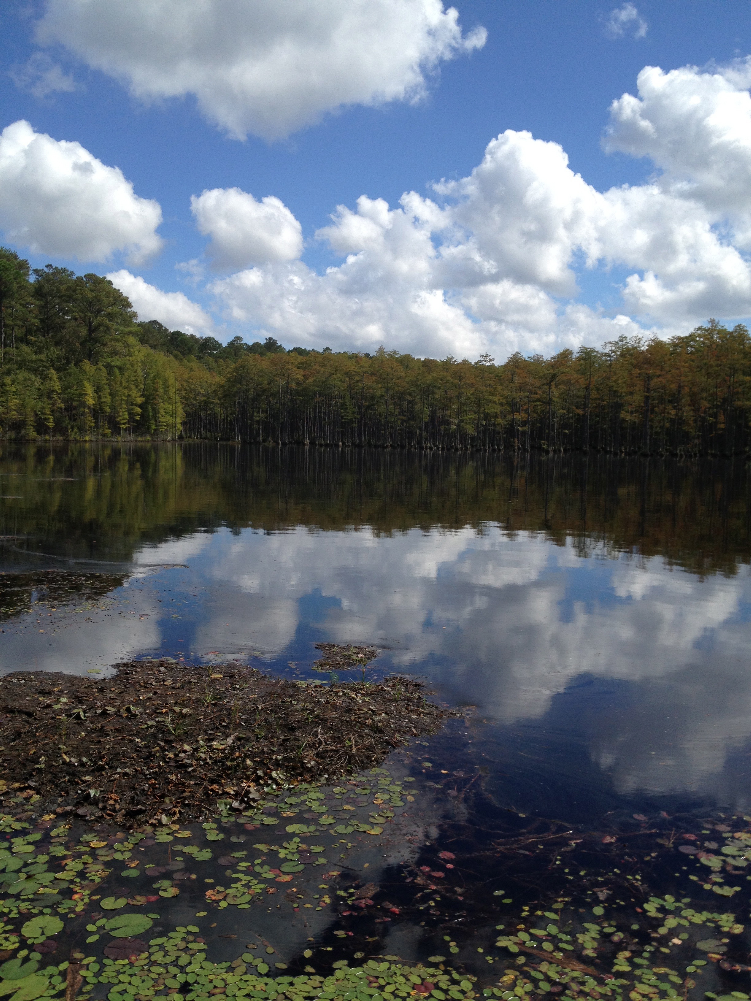
Lake Juniper, Cheraw State Park
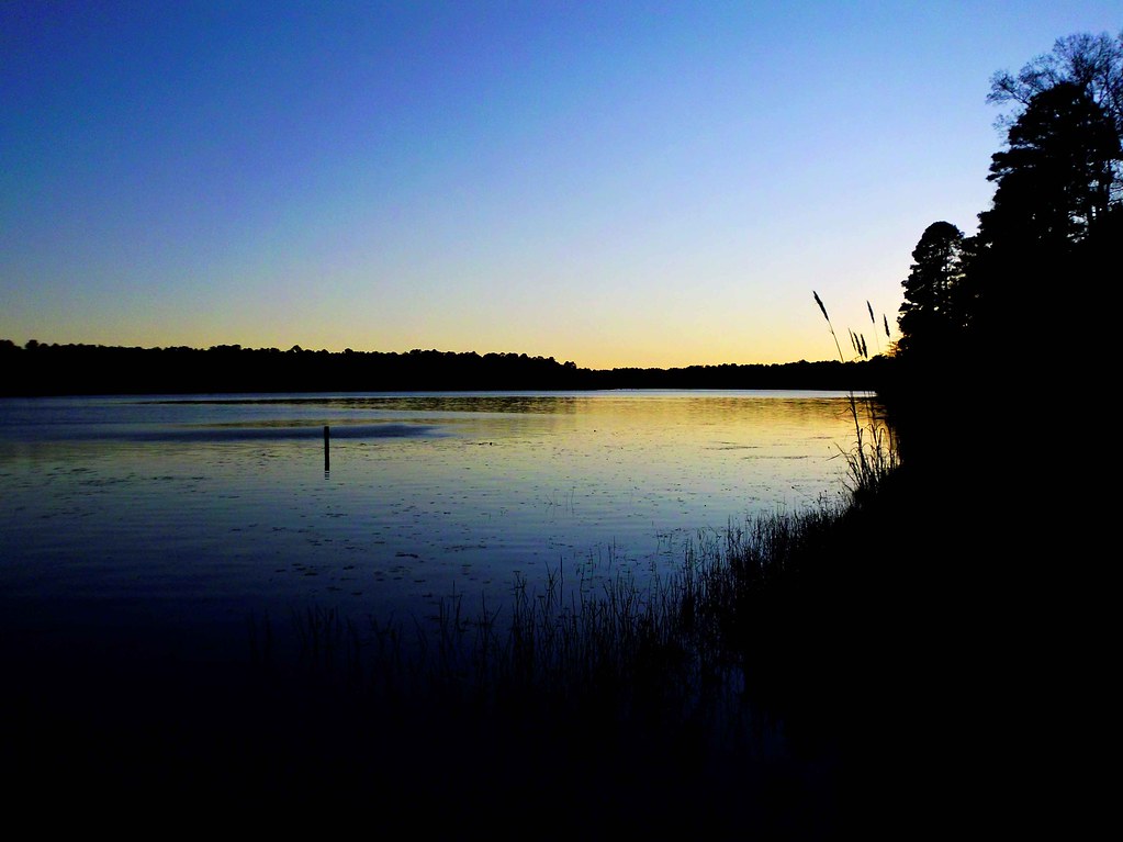
Campbell Lake
Still Life
Juniper Late Afternoon
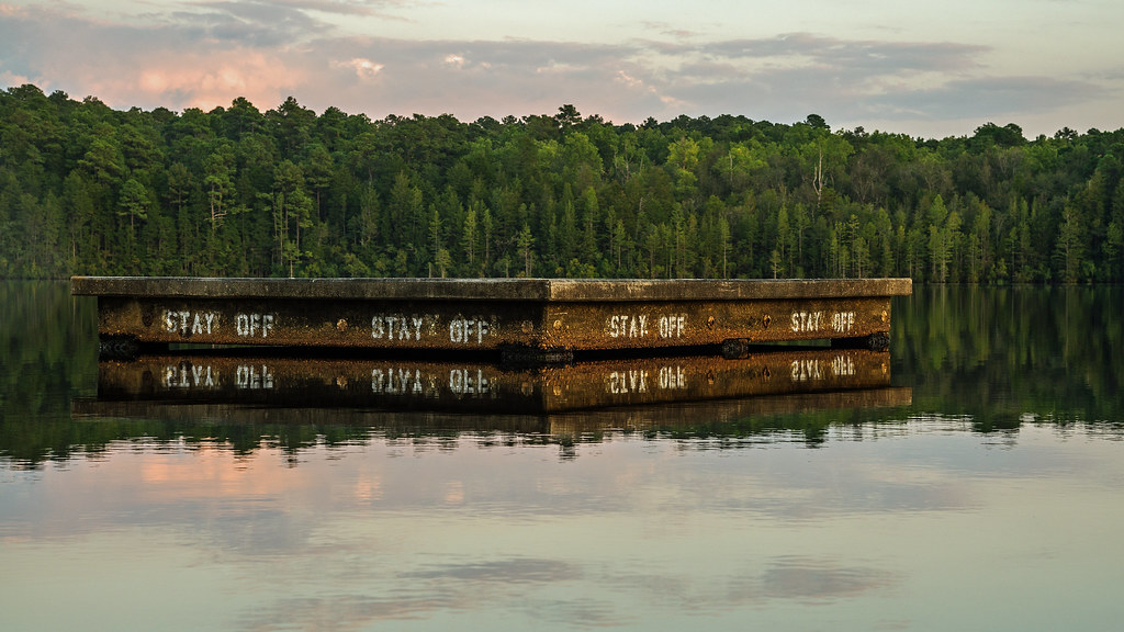
Stay Off
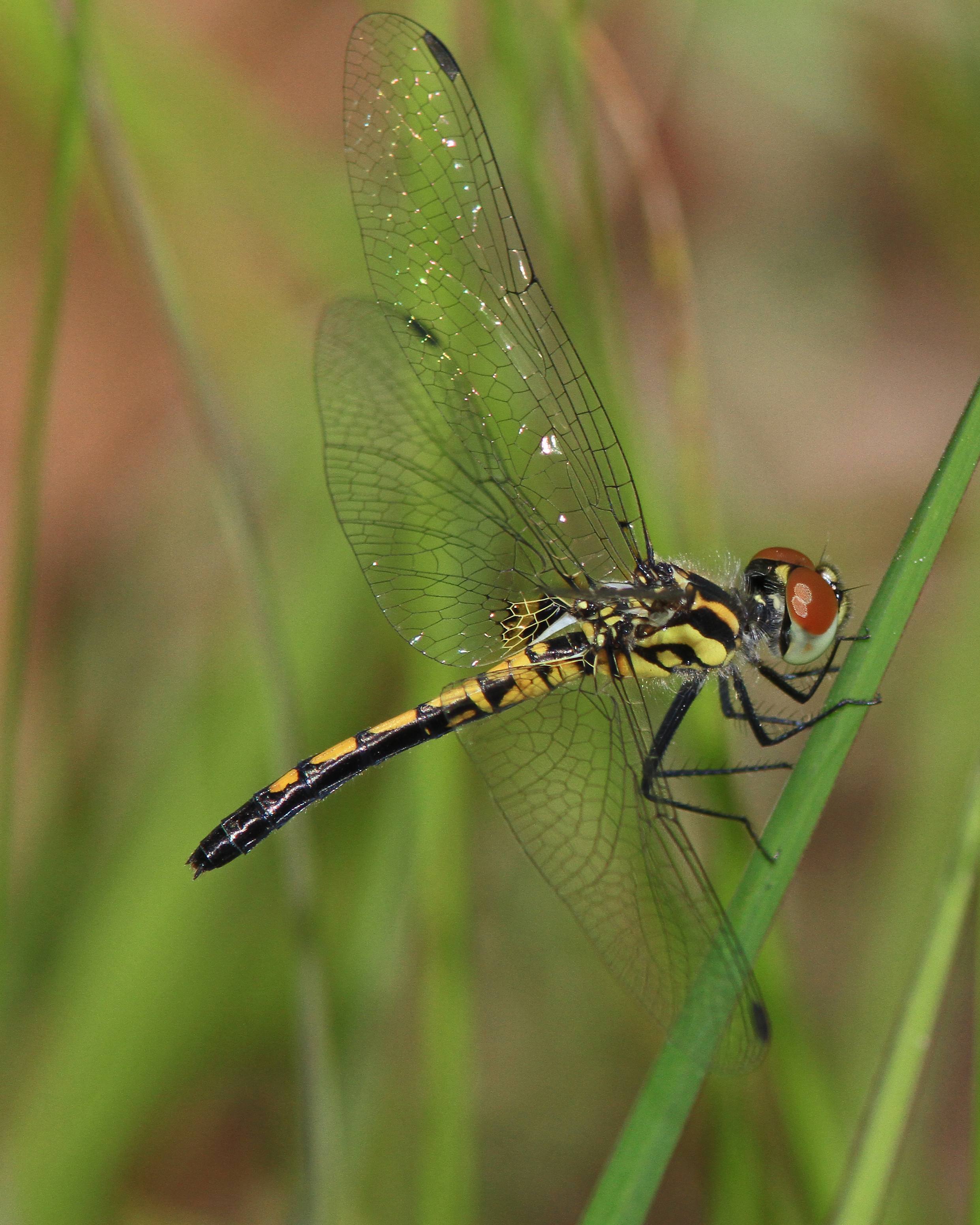
Ornate Pennant
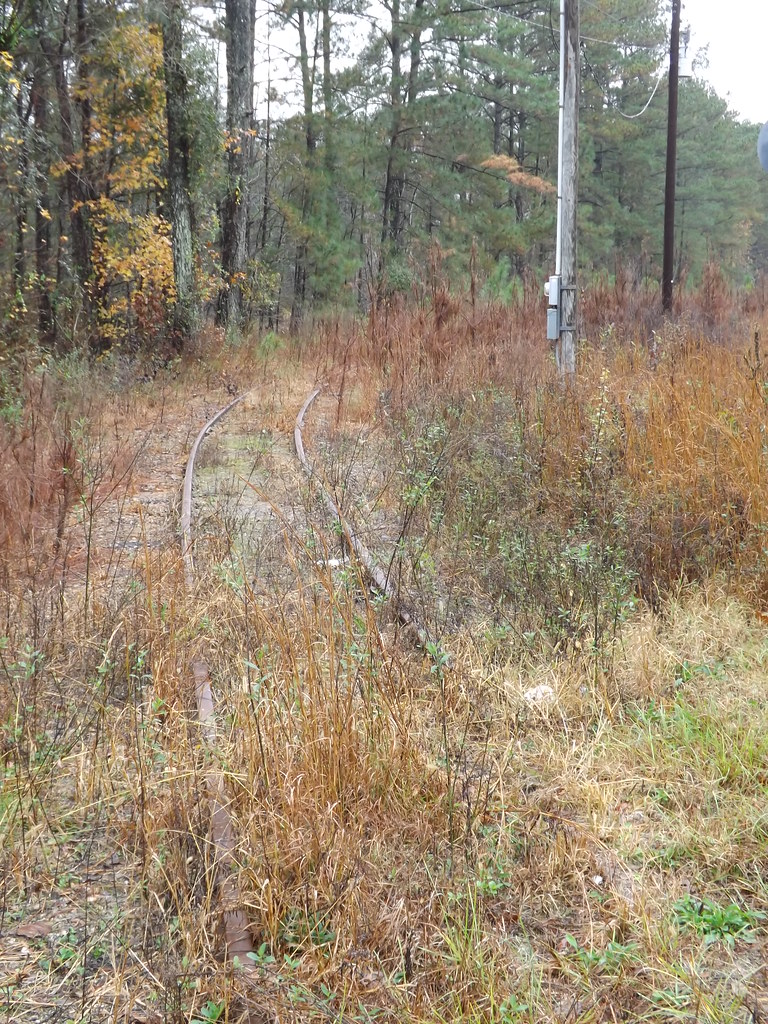
Palmetto Brick Narrow Gauge RR 3of10
Bill Conger approaches 4 corners
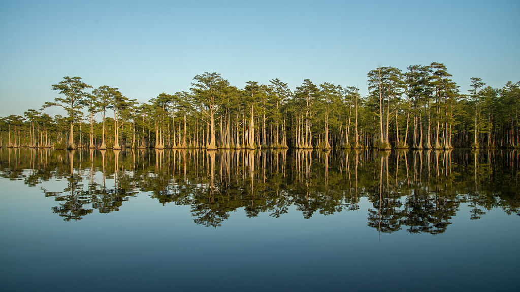
Campbell Lake Sand Hills State Forest

Campbell Lake Sand Hills State Forest

phone dump

Double D Motel Cabins, Marlboro County
Topographic Map of Will G St, Cheraw, SC, USA
Find elevation by address:

Places near Will G St, Cheraw, SC, USA:
104 Will G St
104 Will G St
113 Mary Ln
2 Malloy St
617 Kershaw St
Cheraw
416 Greene St
416 Greene St
38 Daisy St, Cheraw, SC, USA
416 Clark St
Cane Mill Crossing
562 State Rd S-13-573
631 Cane Mill Crossing Rd
5160 Hatcher Hill Rd
Orchard Rd, Cheraw, SC, USA
4156 Sc-102
4156 Sc-102
Main St, Chesterfield, SC, USA
Chesterfield
Fairway Road
Recent Searches:
- Elevation of East W.T. Harris Boulevard, E W.T. Harris Blvd, Charlotte, NC, USA
- Elevation of West Sugar Creek, Charlotte, NC, USA
- Elevation of Wayland, NY, USA
- Elevation of Steadfast Ct, Daphne, AL, USA
- Elevation of Lagasgasan, X+CQH, Tiaong, Quezon, Philippines
- Elevation of Rojo Ct, Atascadero, CA, USA
- Elevation of Flagstaff Drive, Flagstaff Dr, North Carolina, USA
- Elevation of Avery Ln, Lakeland, FL, USA
- Elevation of Woolwine, VA, USA
- Elevation of Lumagwas Diversified Farmers Multi-Purpose Cooperative, Lumagwas, Adtuyon, RV32+MH7, Pangantucan, Bukidnon, Philippines