Elevation of Hatcher Hill Rd, Wallace, SC, USA
Location: United States > South Carolina > Marlboro County >
Longitude: -79.848510
Latitude: 34.7658111
Elevation: 82m / 269feet
Barometric Pressure: 100KPa
Elevation Map:
Satellite Map:
Related Photos:
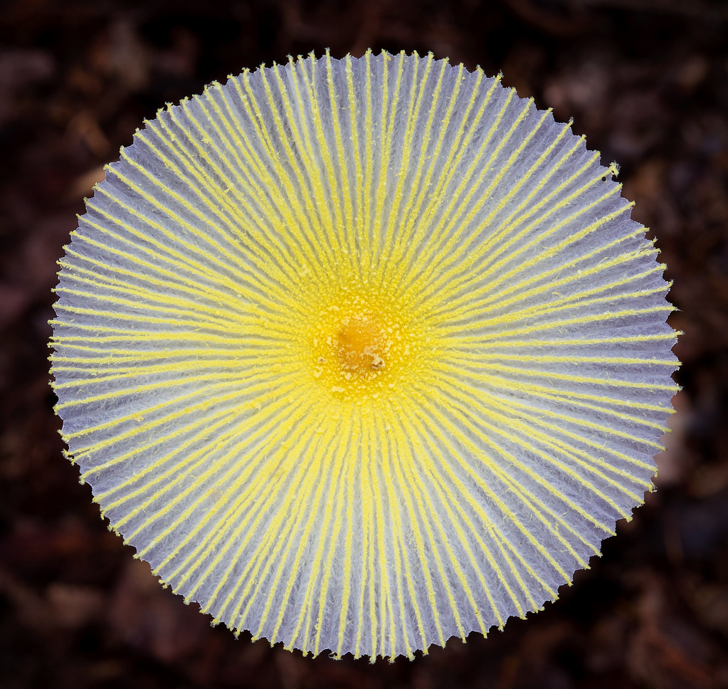
Fragile Dapperling Mushroom Cap
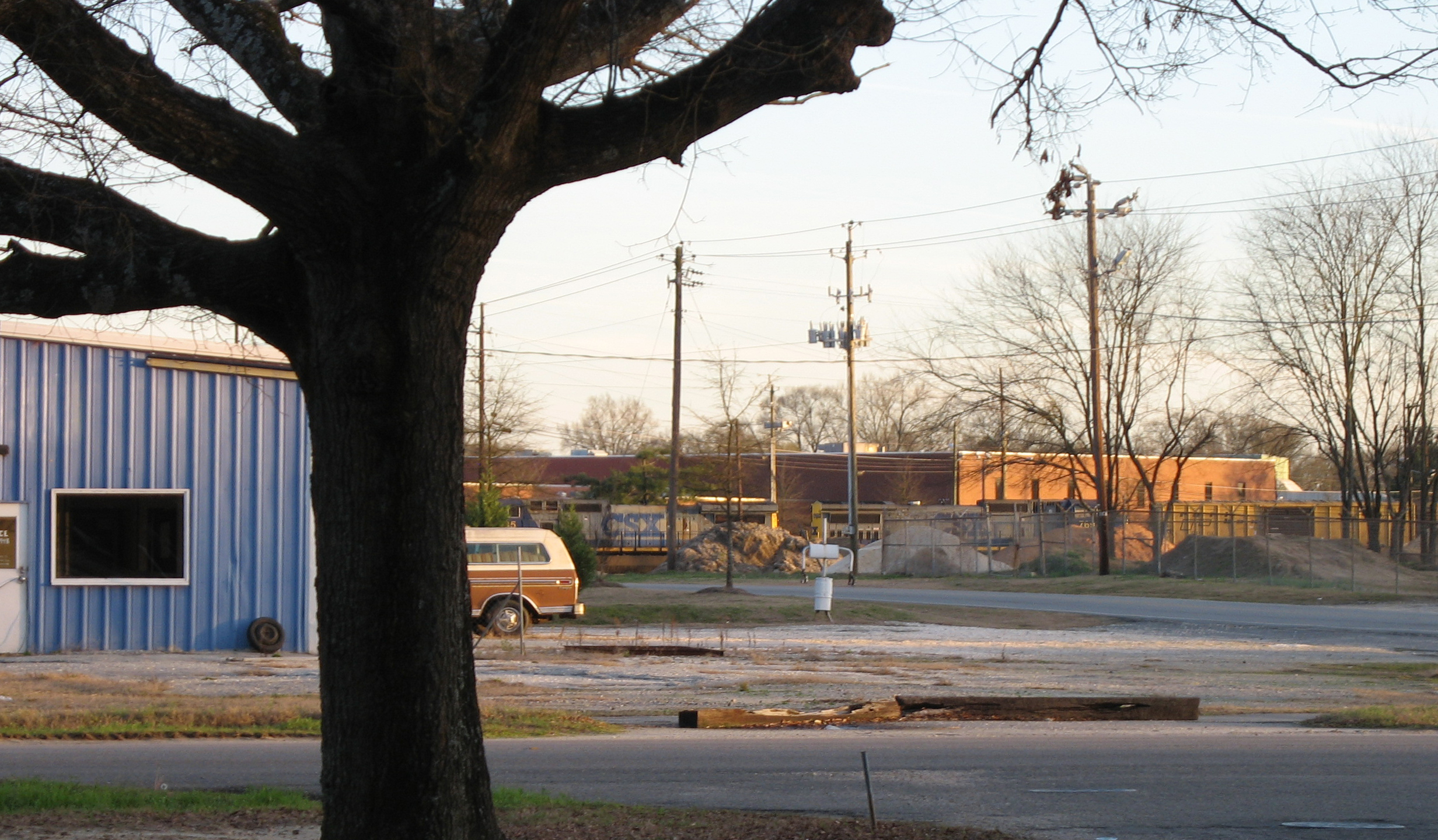
The View
RH_9: Red Hill (Ellerbe) Cemetery
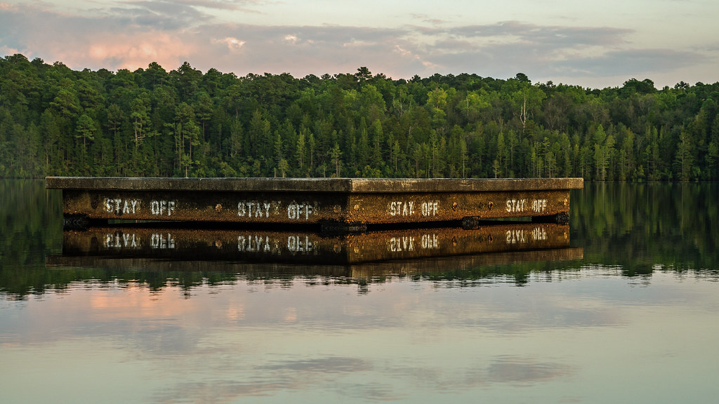
Stay Off
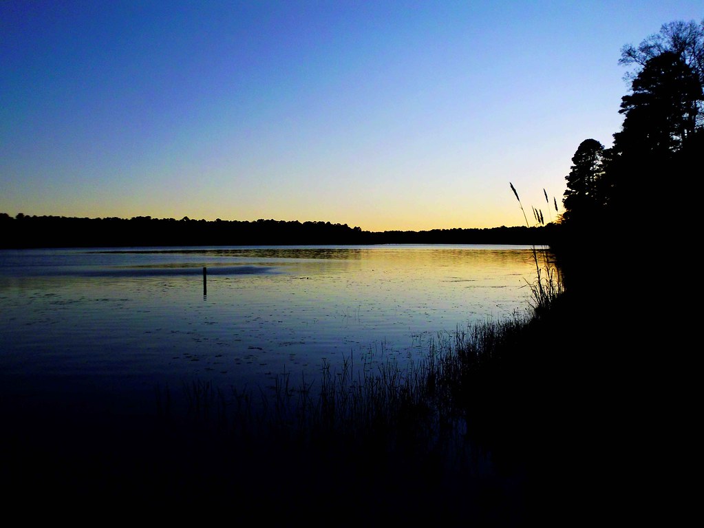
Lake Juniper, Cheraw State Park
Juniper Late Afternoon
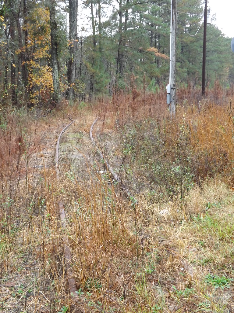
Palmetto Brick Narrow Gauge RR 3of10

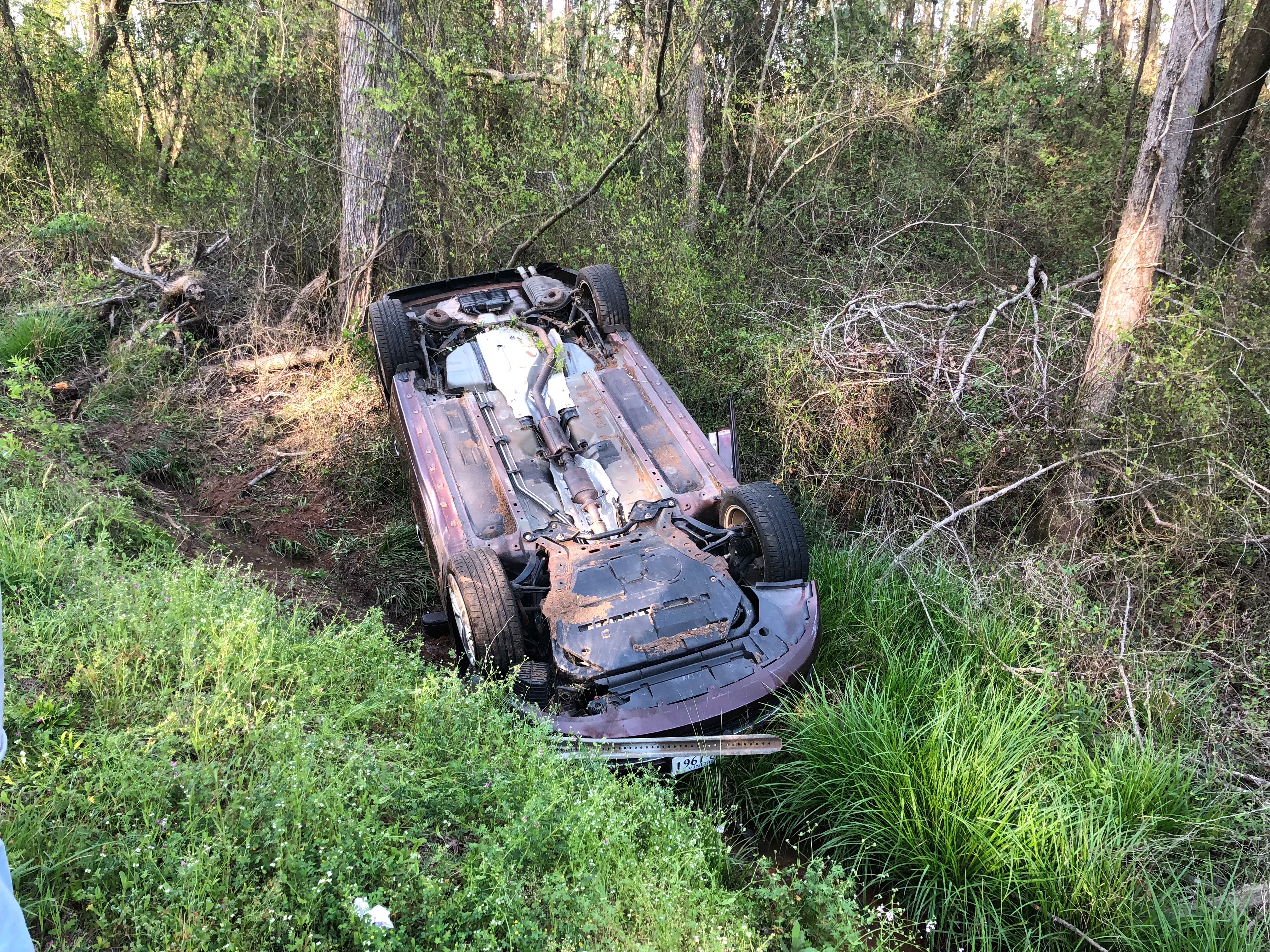
Head - On Wreck -Sandhills Road

Head - On Wreck -Sandhills Road

Head - On Wreck -Sandhills Road
Head - On Wreck -Sandhills Road

Head - On Wreck -Sandhills Road
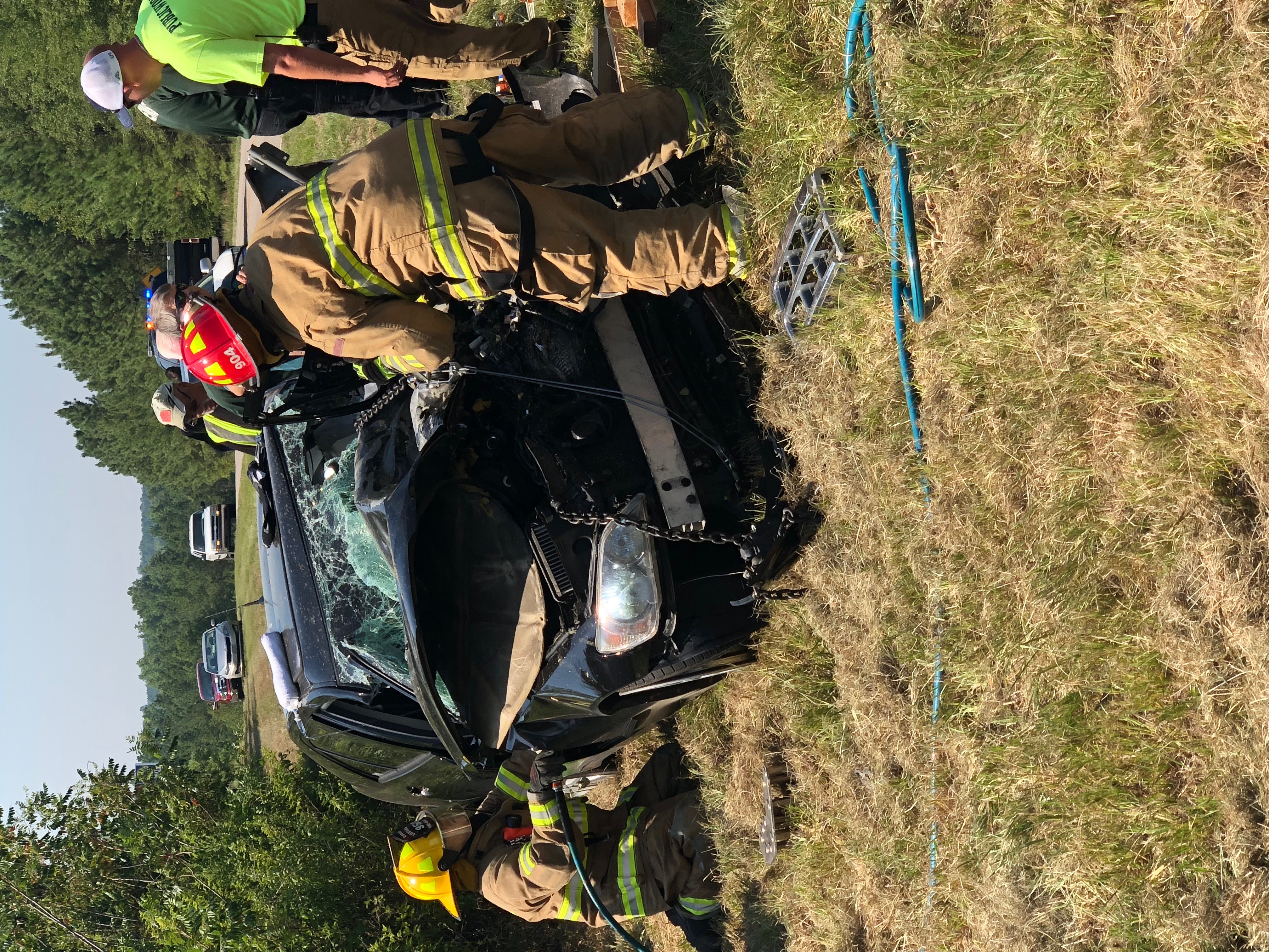
Head - On Wreck -Sandhills Road

Head - On Wreck -Sandhills Road
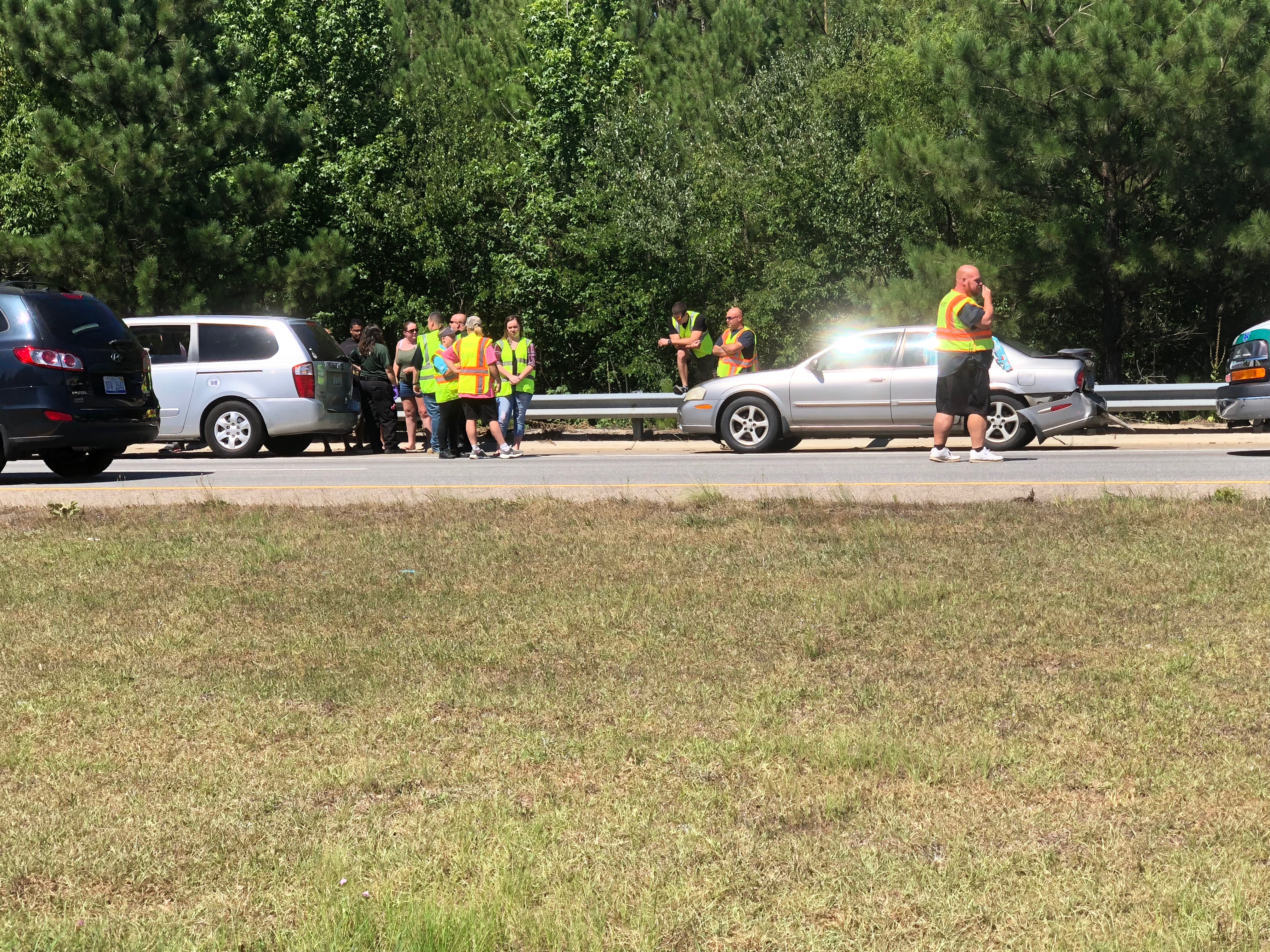
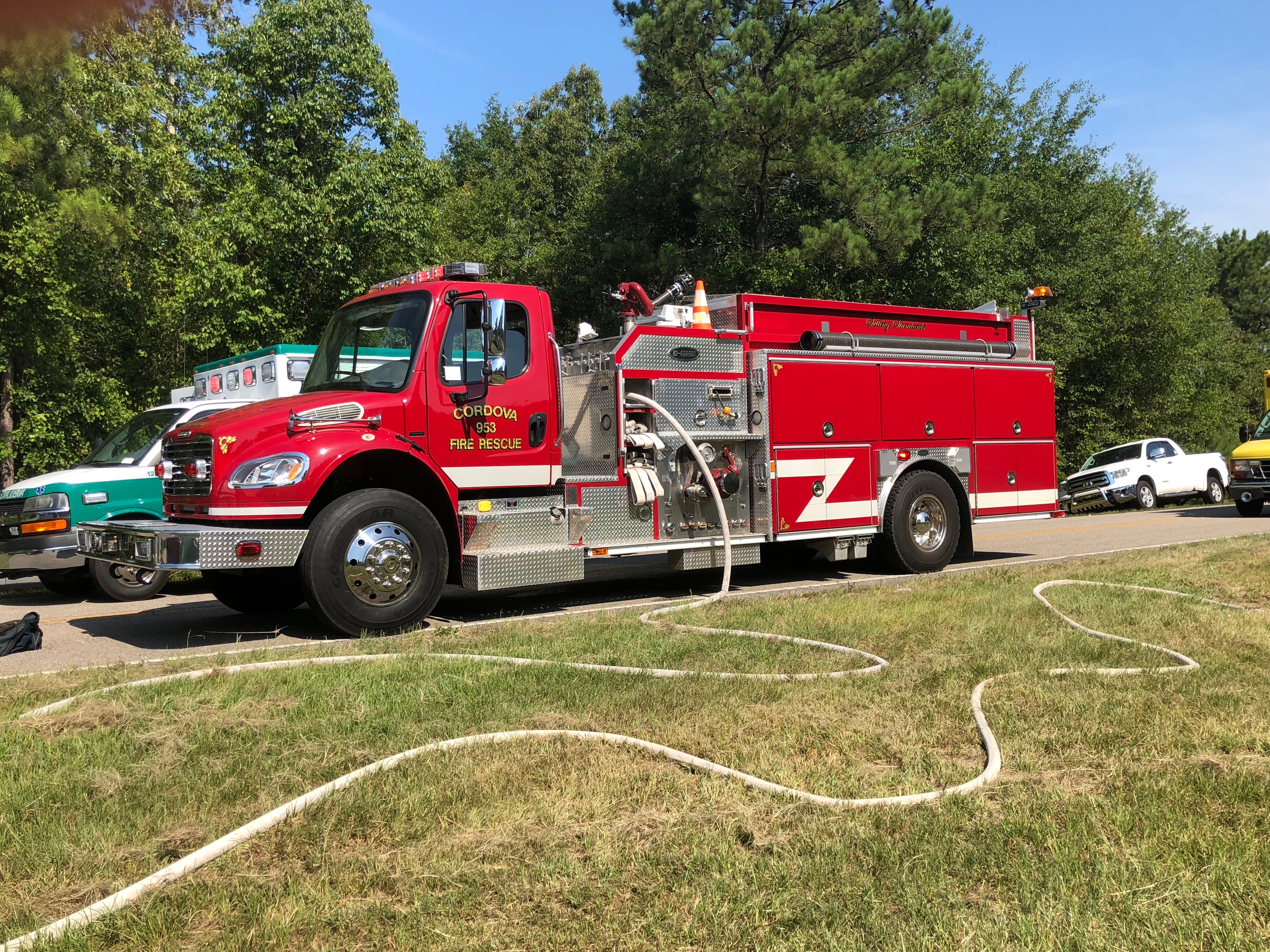
Cordova Wreck 7/8/18
Cordova Wreck 7/8/18
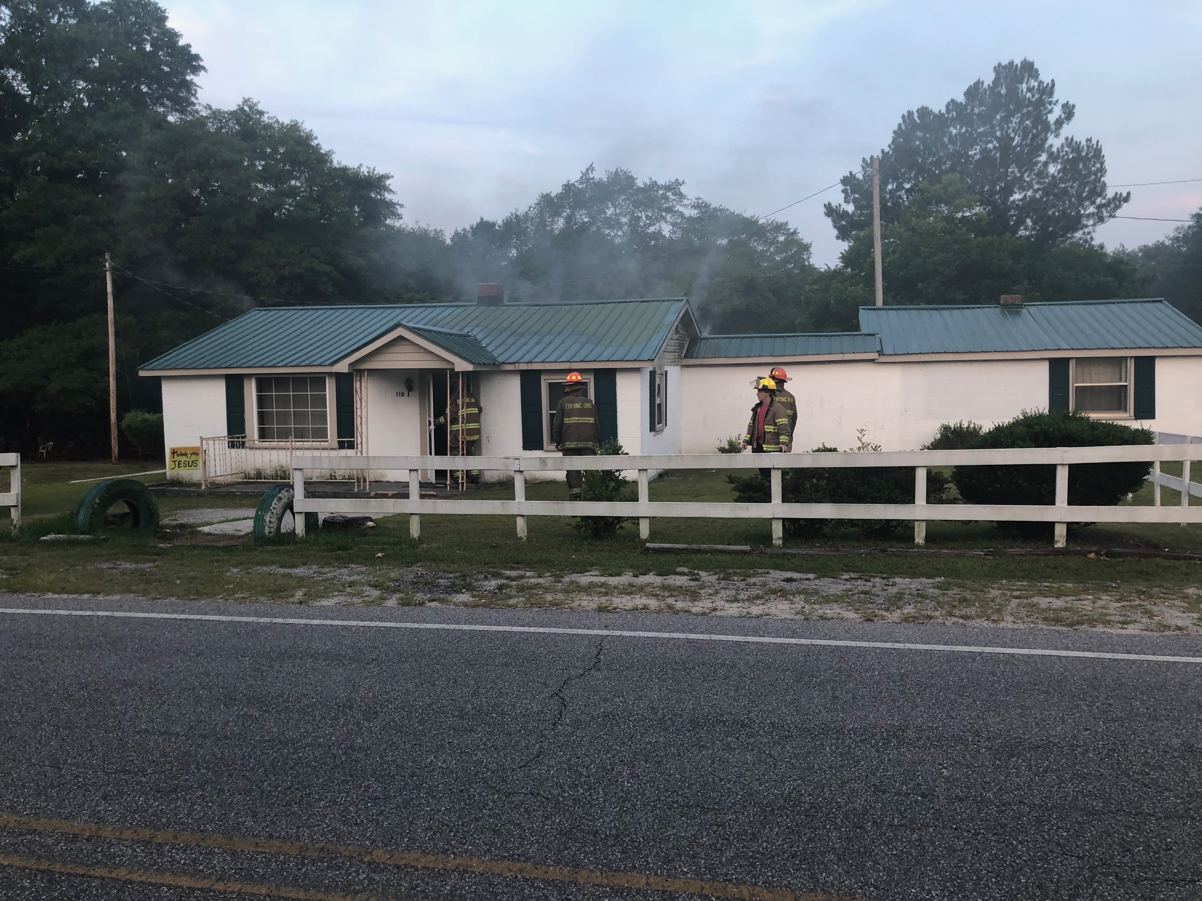
East Rockingham Fire - Stokes Road 8/11/18
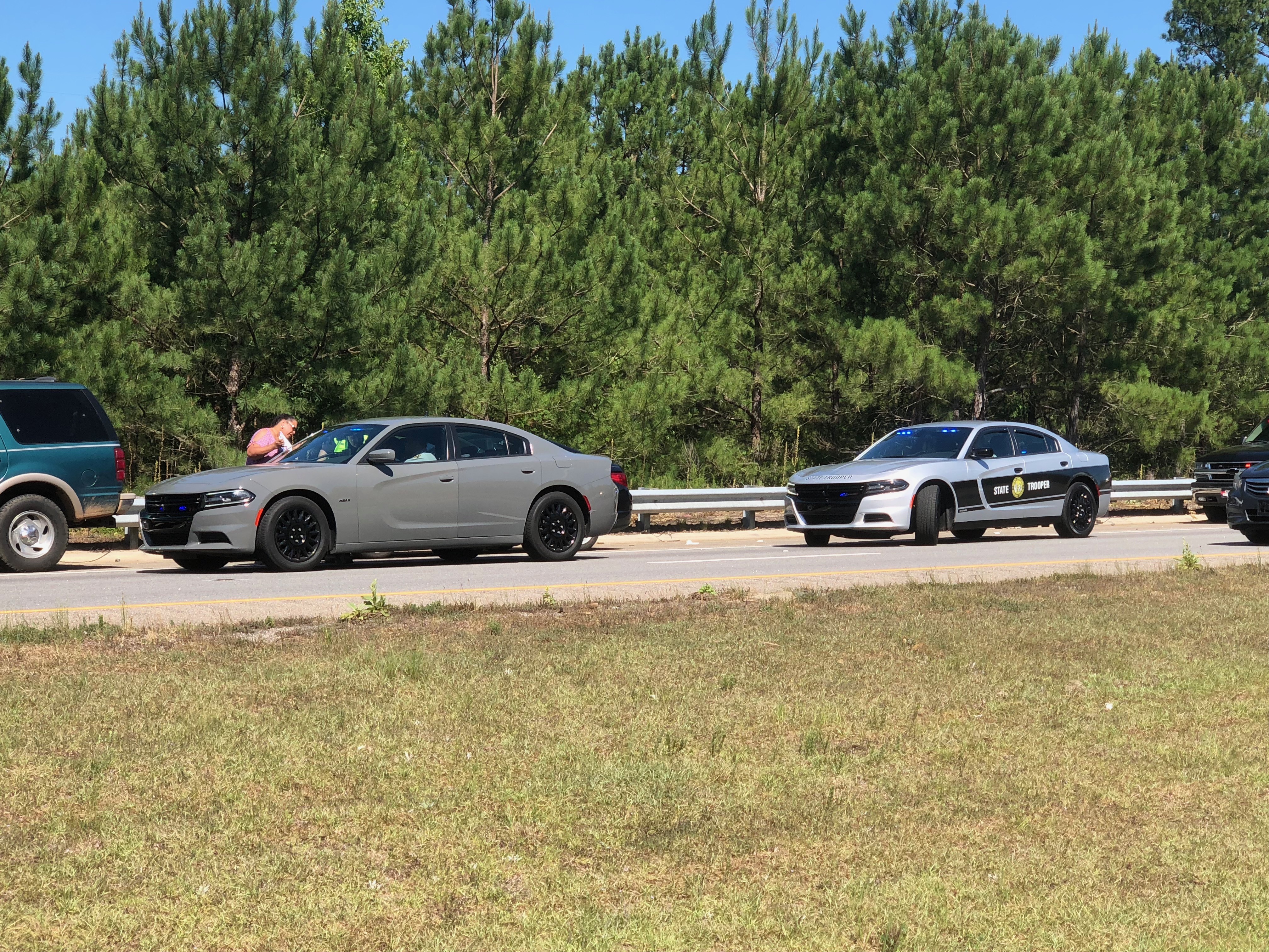
Wreck on Highway 1 South - 4/14/18
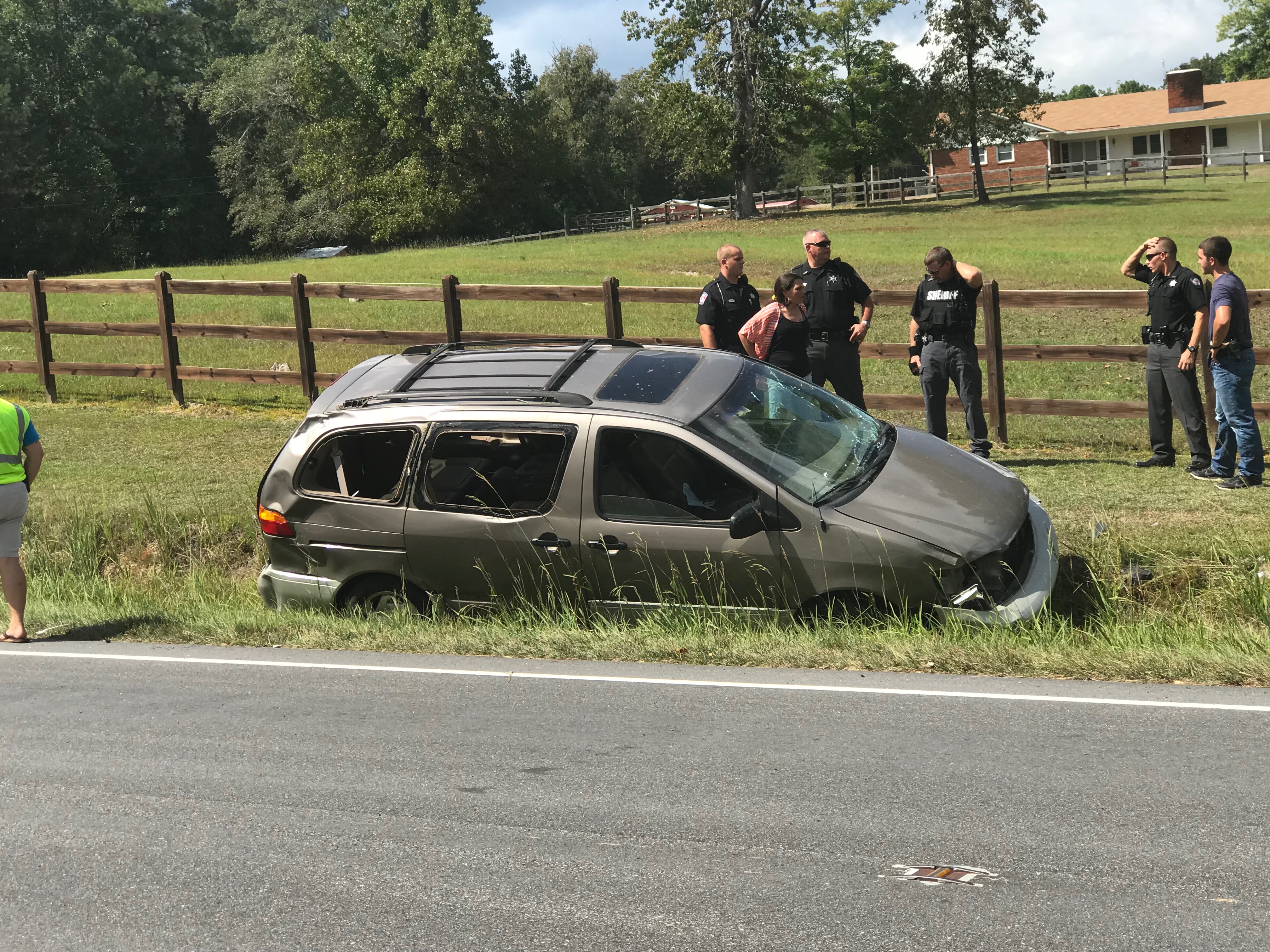
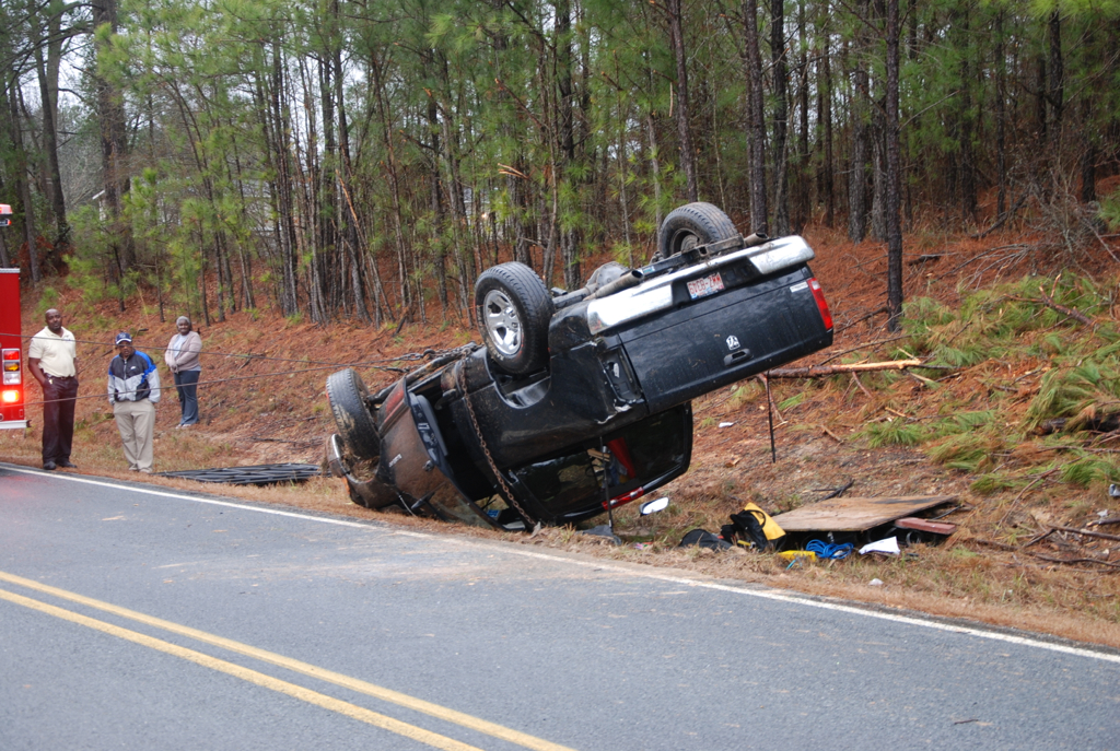
Rollover - Highway One South 9/26/17
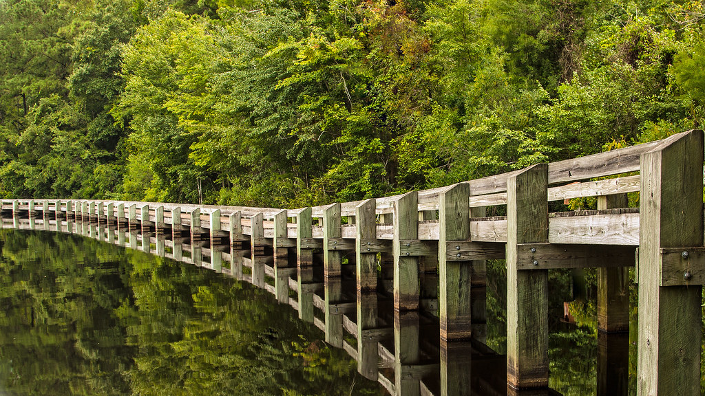
Boardwalk Reflection
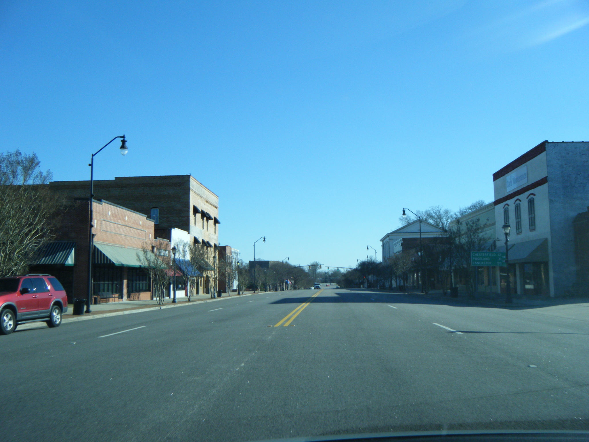
US Route 1 in Cheraw
Cordova Fire Rescue - Cordova,North Carolina
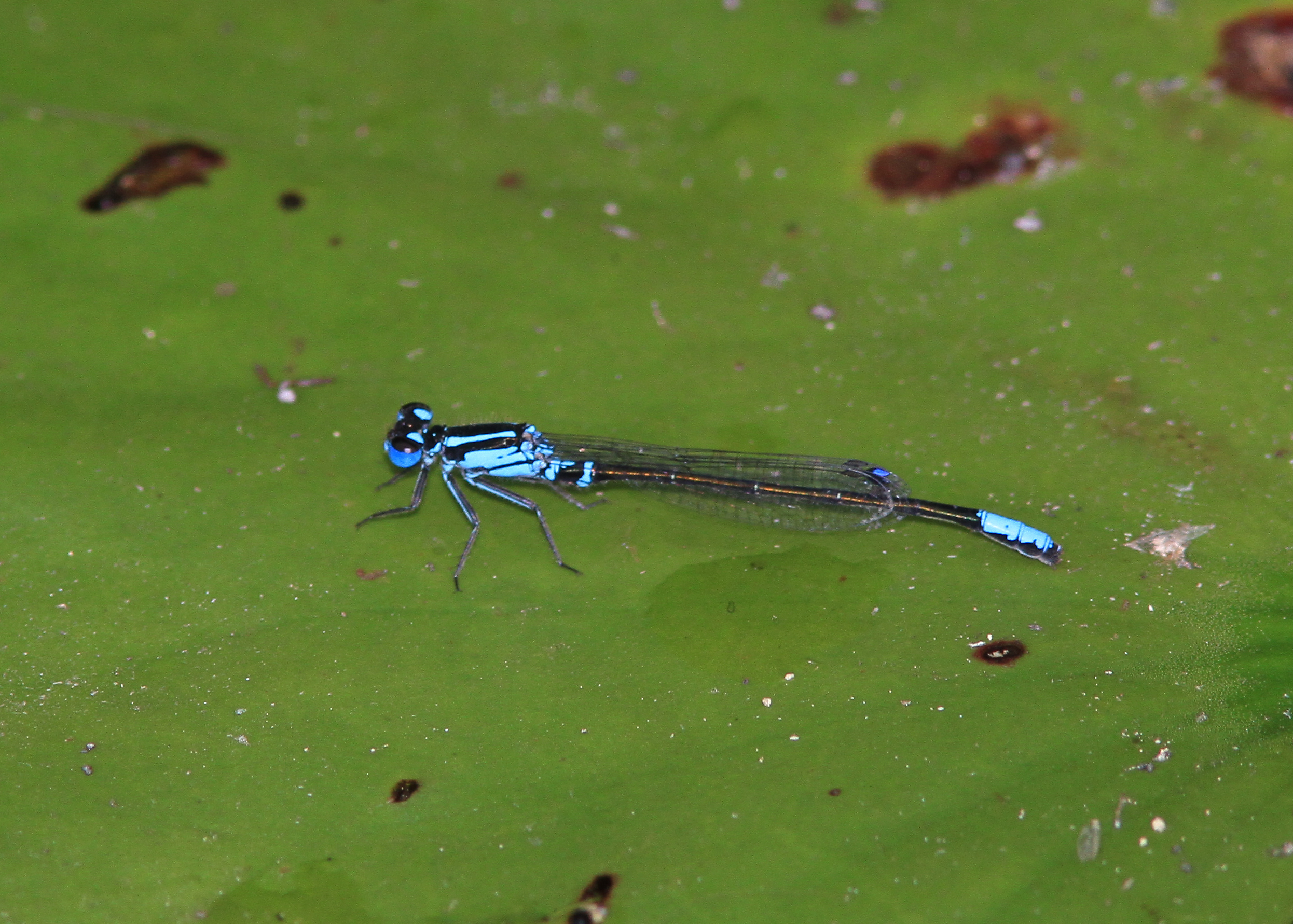
Lilypad Forktail

Cory driving our last two hours!
Gypsey and Lord Humphrey
Crown Spring 2008 036
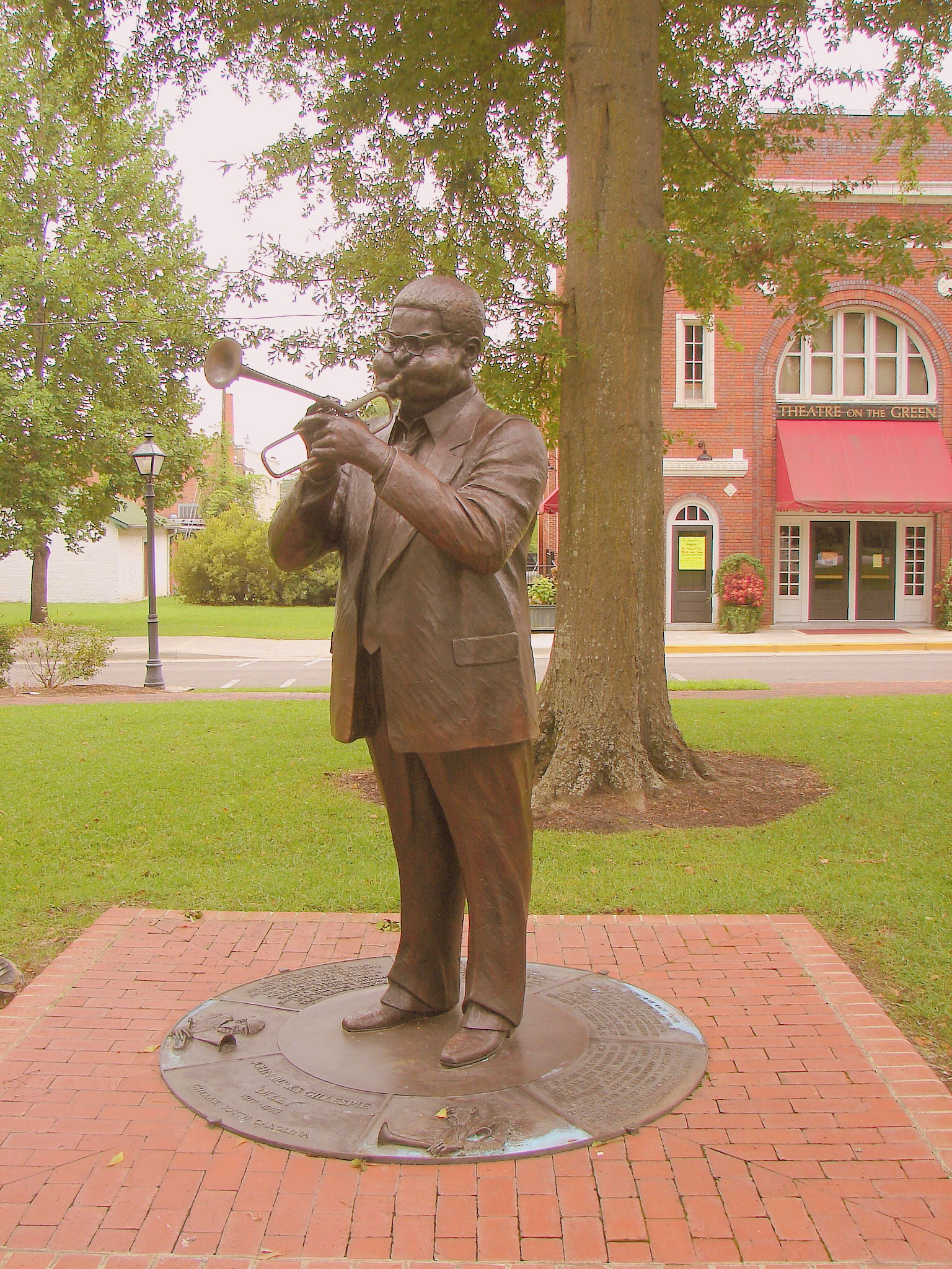
Ole Dizzy Gives a Blast !
Topographic Map of Hatcher Hill Rd, Wallace, SC, USA
Find elevation by address:

Places near Hatcher Hill Rd, Wallace, SC, USA:
Cheraw
416 Greene St
416 Greene St
416 Clark St
617 Kershaw St
2 Malloy St
38 Daisy St, Cheraw, SC, USA
104 Will G St
104 Will G St
104 Will G St
113 Mary Ln
Orchard Rd, Cheraw, SC, USA
562 State Rd S-13-573
631 Cane Mill Crossing Rd
Cane Mill Crossing
Fairway Road
1245 Sc-145
Main St, Chesterfield, SC, USA
Chesterfield
Freeman Loop Road
Recent Searches:
- Elevation of Congressional Dr, Stevensville, MD, USA
- Elevation of Bellview Rd, McLean, VA, USA
- Elevation of Stage Island Rd, Chatham, MA, USA
- Elevation of Shibuya Scramble Crossing, 21 Udagawacho, Shibuya City, Tokyo -, Japan
- Elevation of Jadagoniai, Kaunas District Municipality, Lithuania
- Elevation of Pagonija rock, Kranto 7-oji g. 8"N, Kaunas, Lithuania
- Elevation of Co Rd 87, Jamestown, CO, USA
- Elevation of Tenjo, Cundinamarca, Colombia
- Elevation of Côte-des-Neiges, Montreal, QC H4A 3J6, Canada
- Elevation of Bobcat Dr, Helena, MT, USA