Elevation of 38 Daisy St, Cheraw, SC, USA
Location: United States > South Carolina > Chesterfield County > Cheraw >
Longitude: -79.931042
Latitude: 34.6757376
Elevation: 56m / 184feet
Barometric Pressure: 101KPa
Elevation Map:
Satellite Map:
Related Photos:
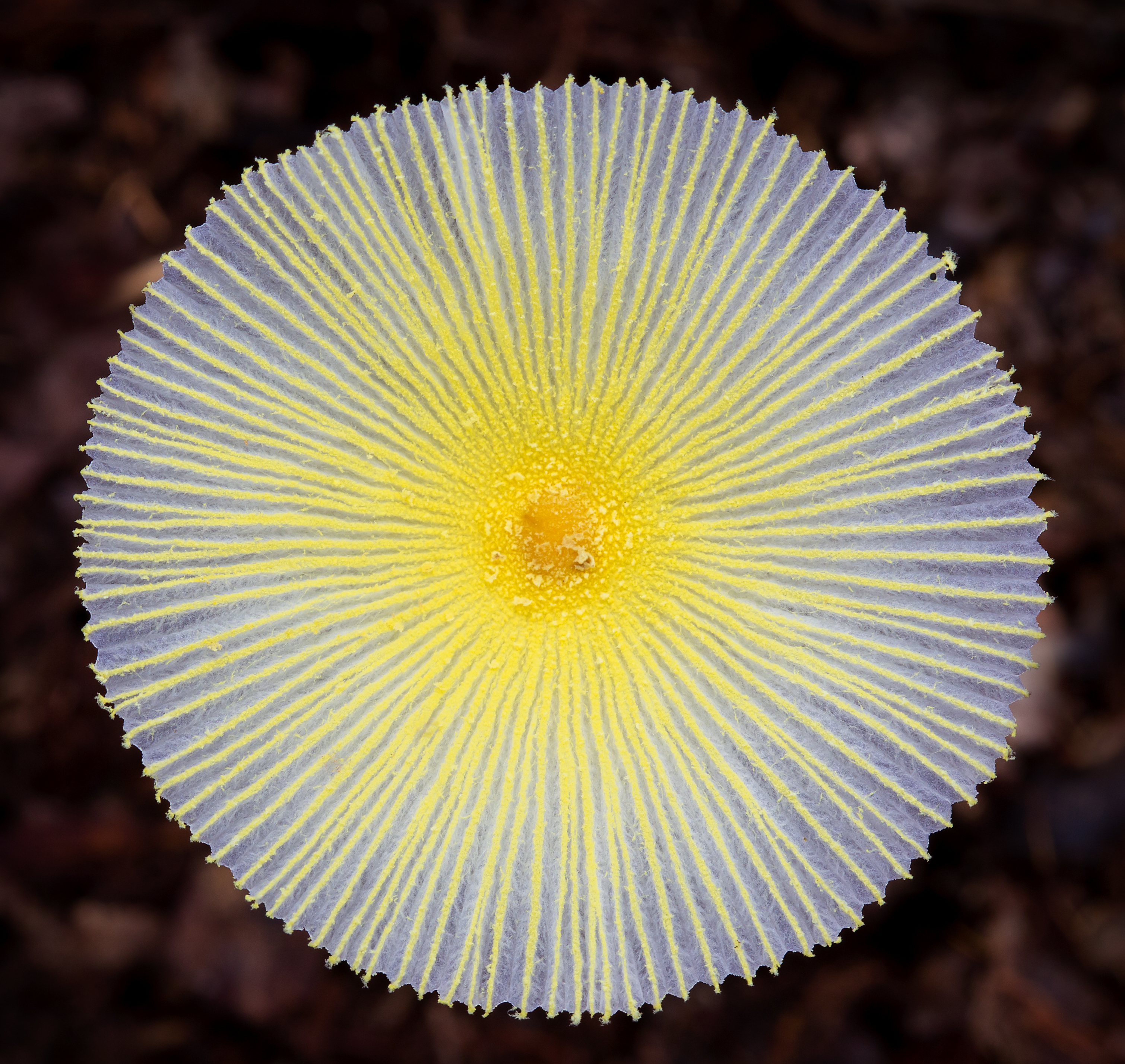
Fragile Dapperling Mushroom Cap
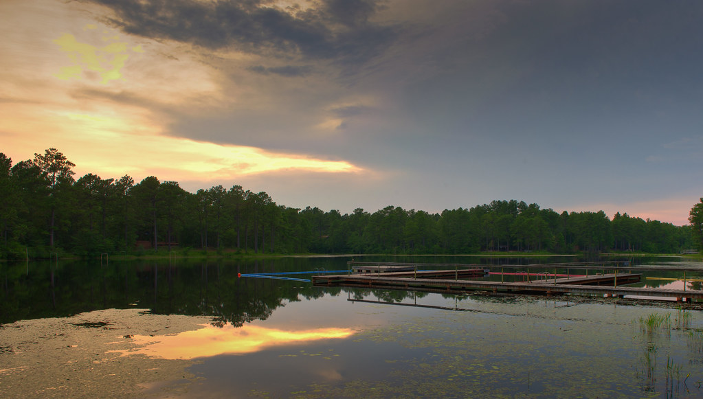
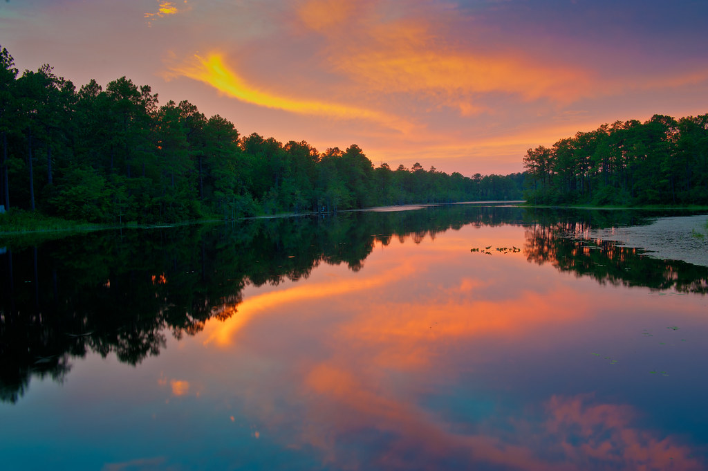
Lake Westwood
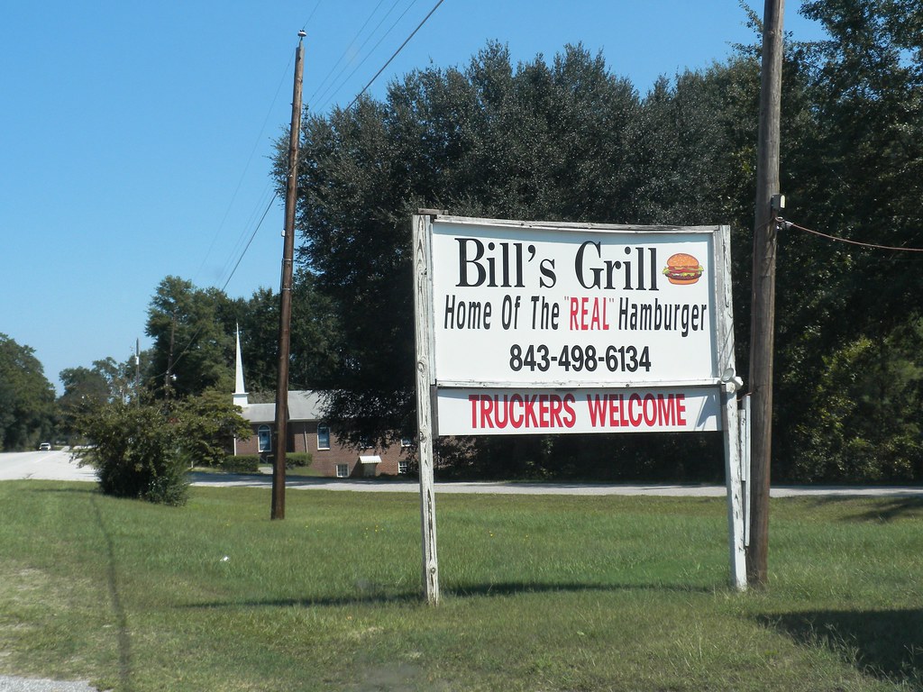
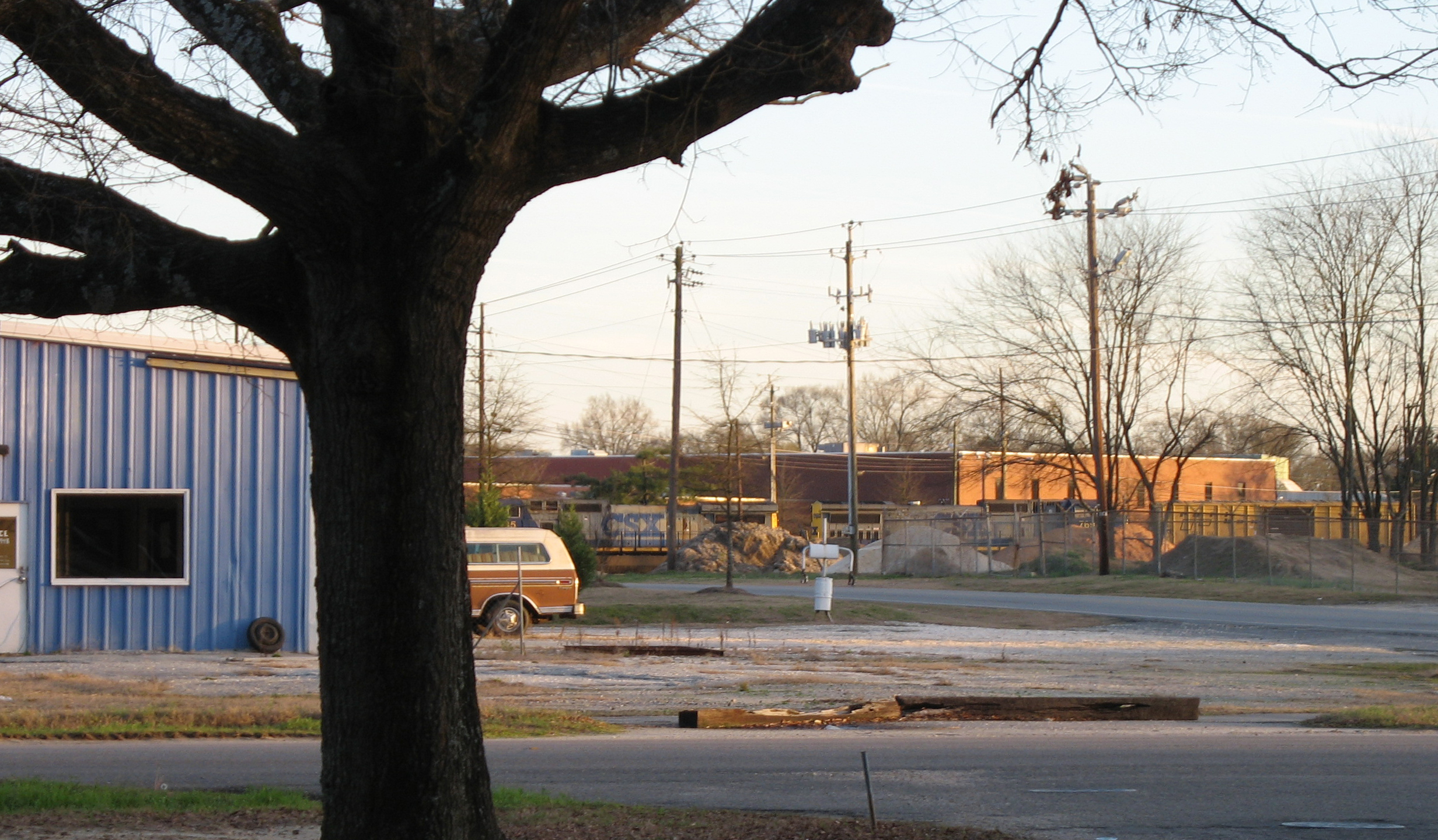
Bill's Grill
RH_9: Red Hill (Ellerbe) Cemetery
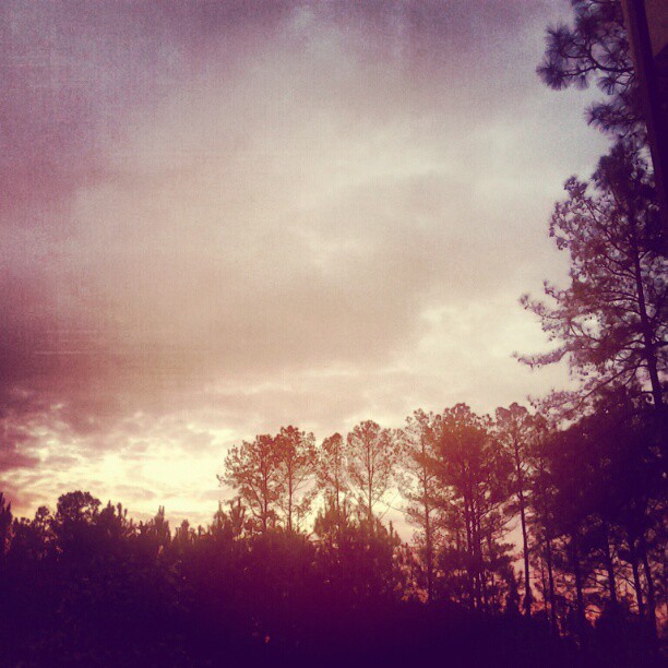
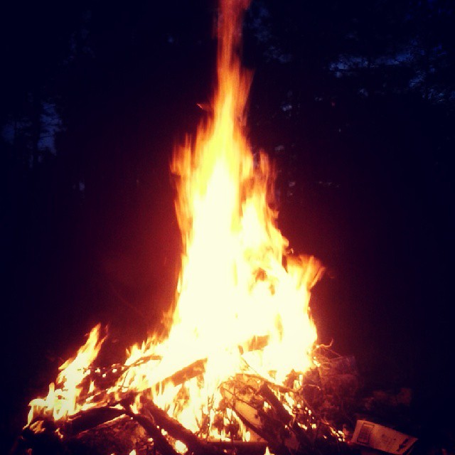
Splendid view in the woods this mornin,lucky to have my lil spread here.
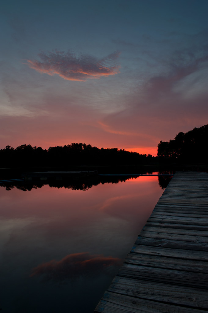
Lake Westwood
Cheraw Fish House
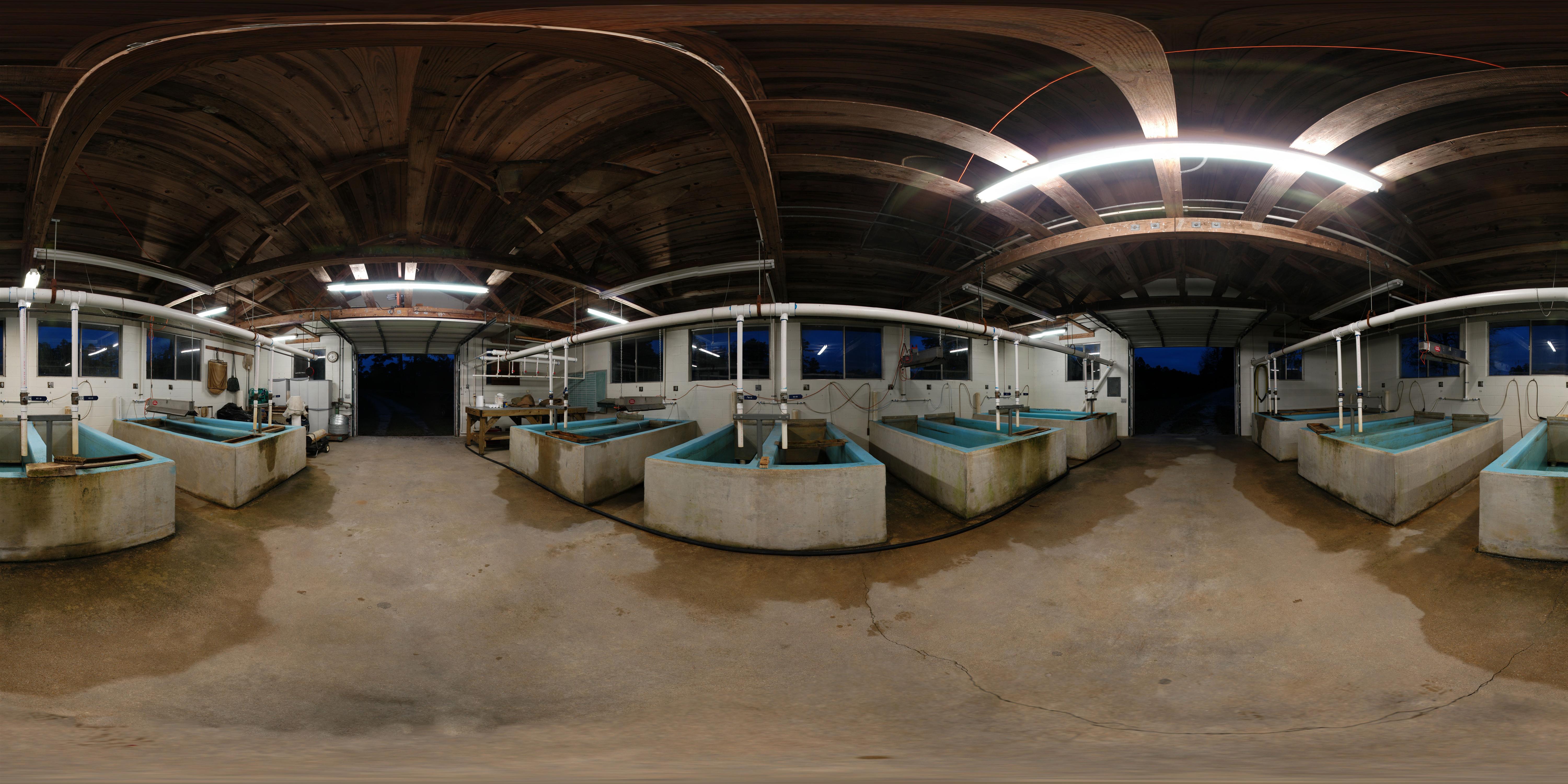
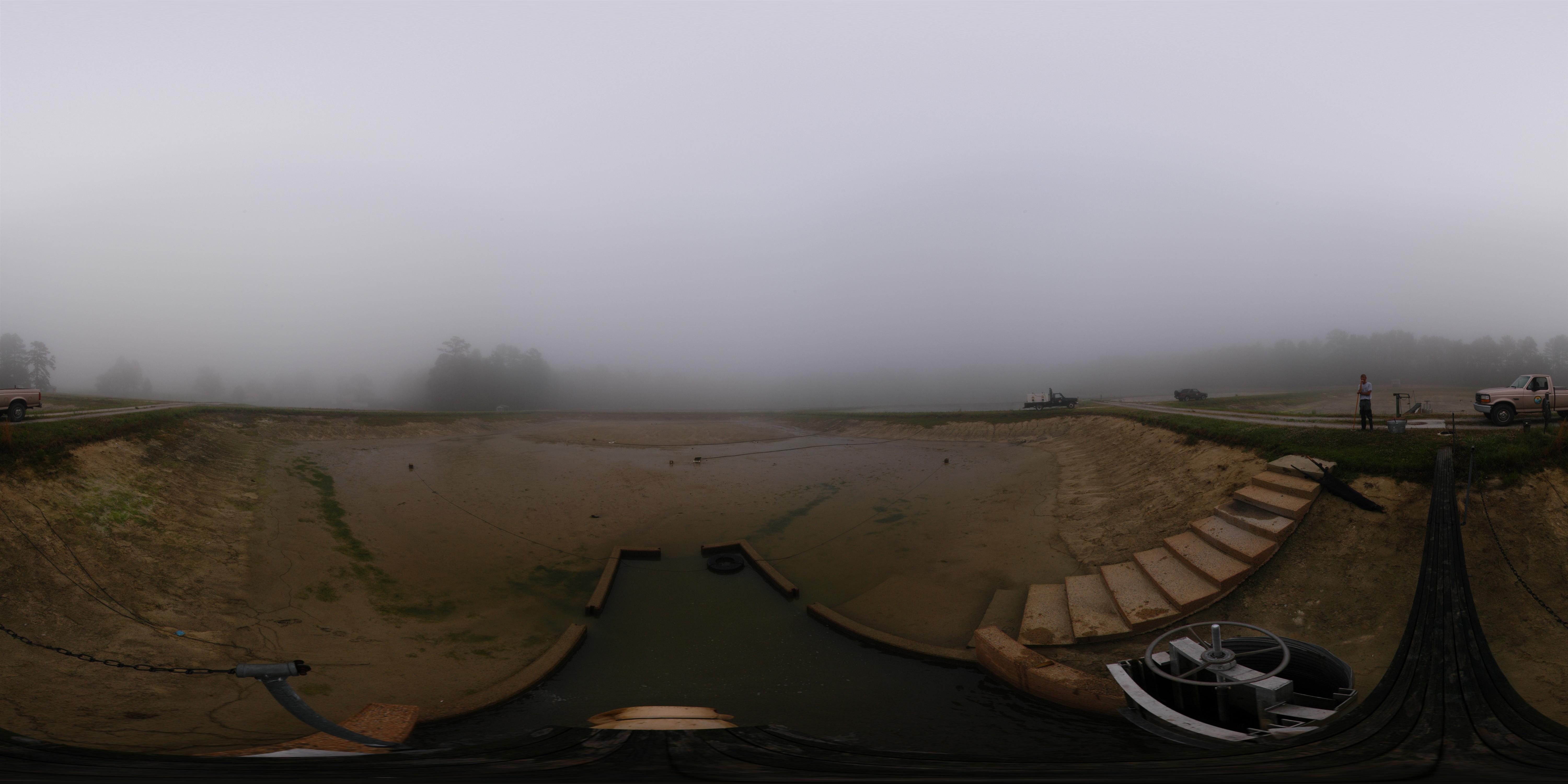
Early Morning Panorama at Cheraw Fish Hatchery
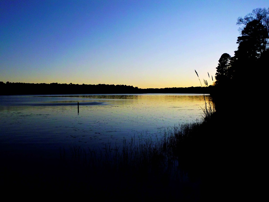
The view tonight.
Cheraw striped bass harvest '07
The View
View towards SC 20
Camp Coker
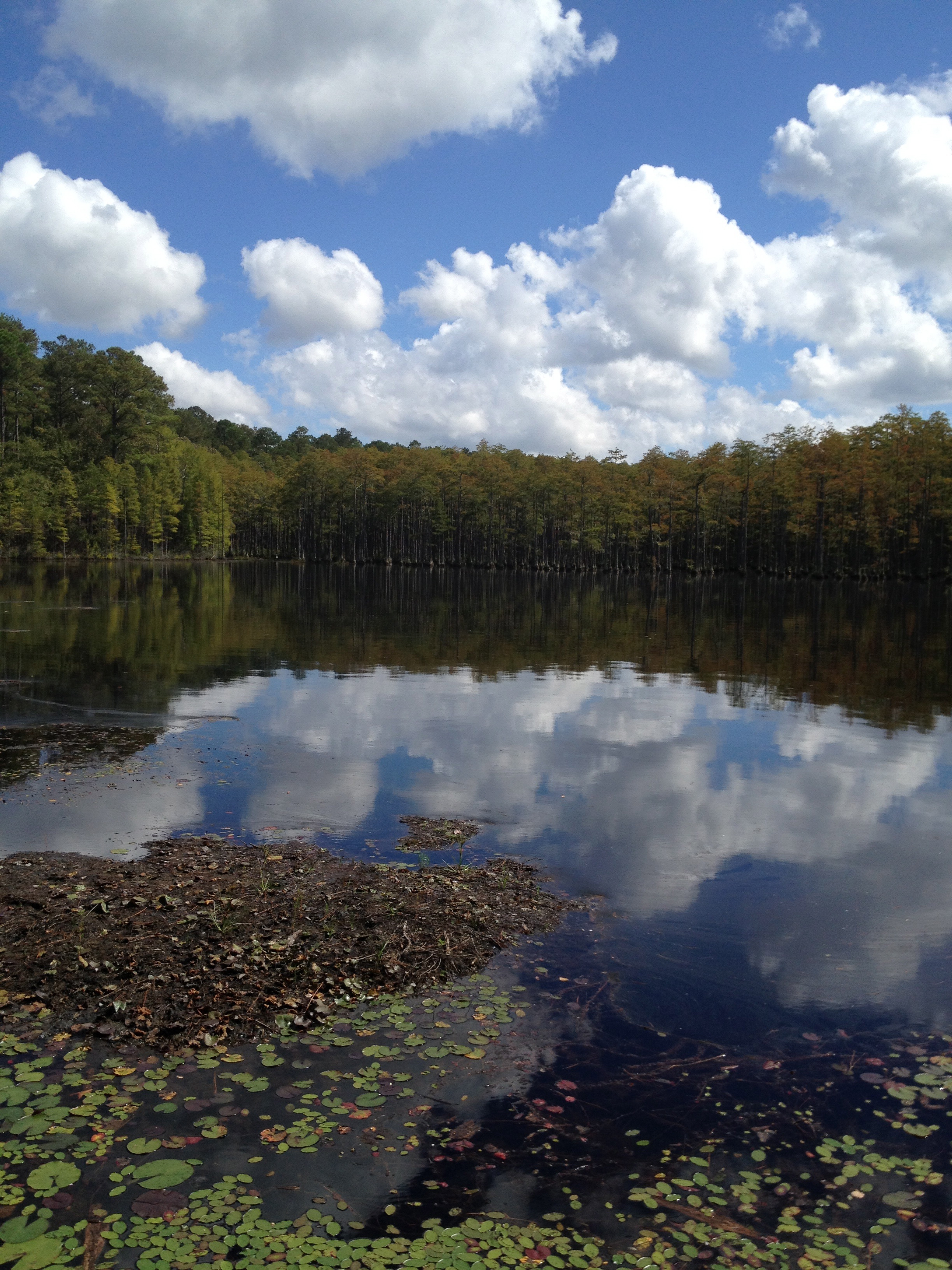
Campbell Lake
Lake Juniper, Cheraw State Park
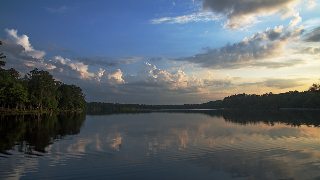
Juniper Late Afternoon
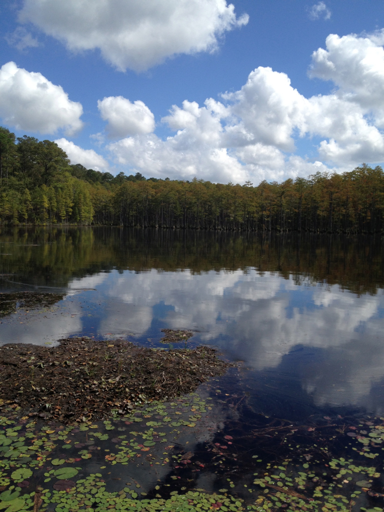
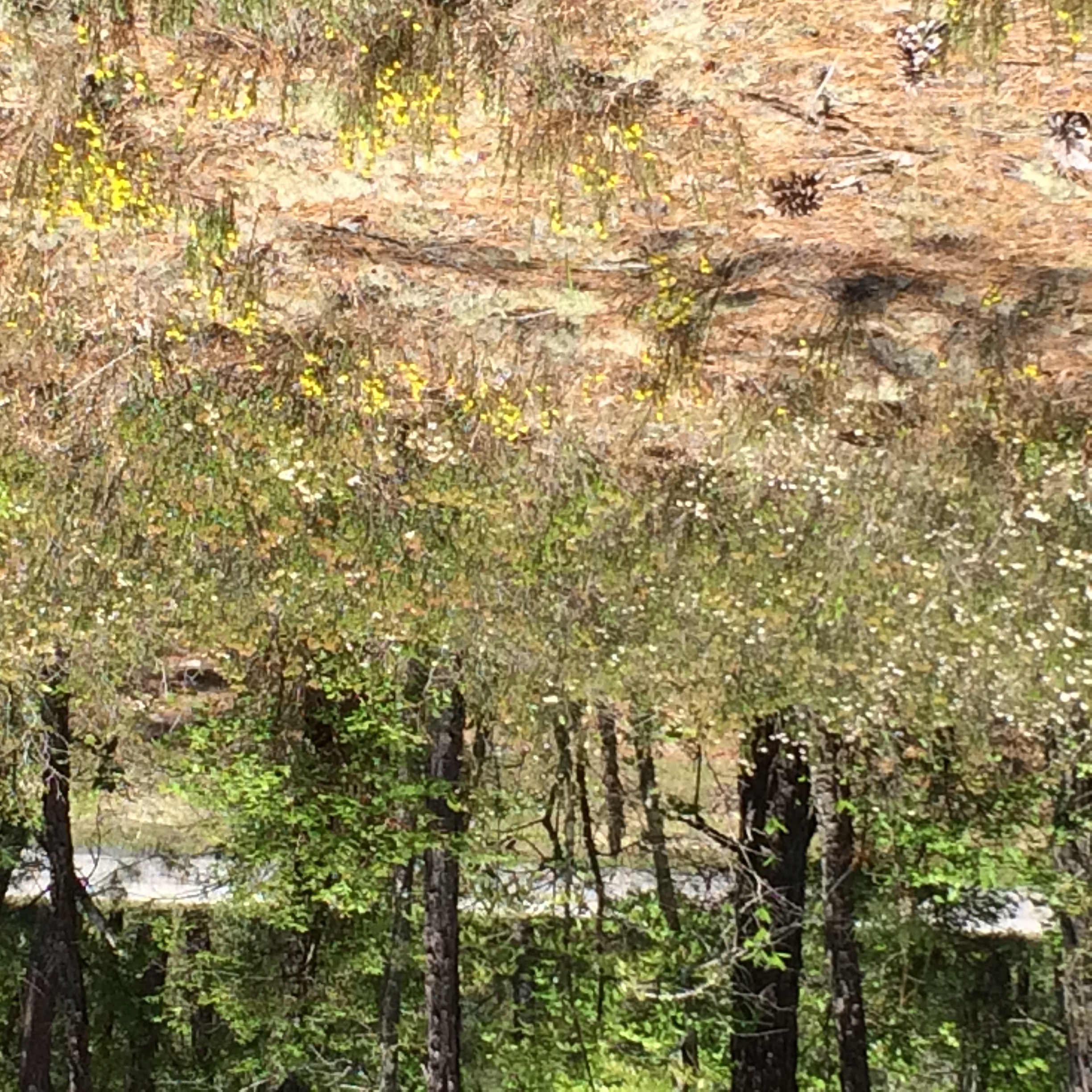
Campbell Lake Sand Hills State Forest
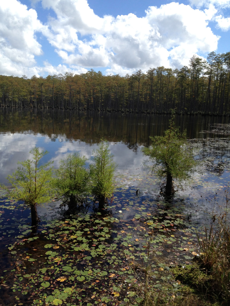
Campbell Lake Sand Hills State Forest
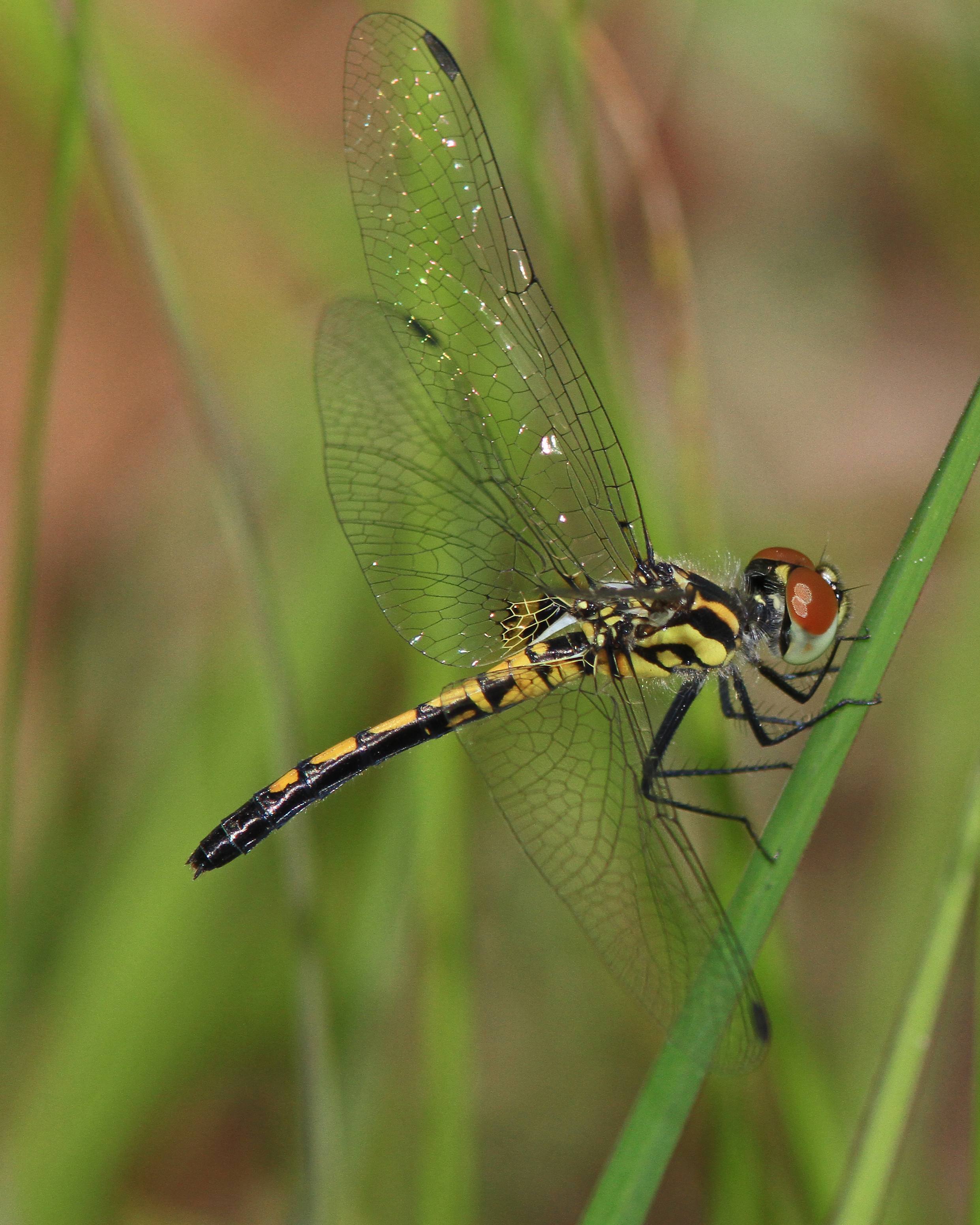
Ornate Pennant

Campbell Lake Sand Hills State Forest

phone dump
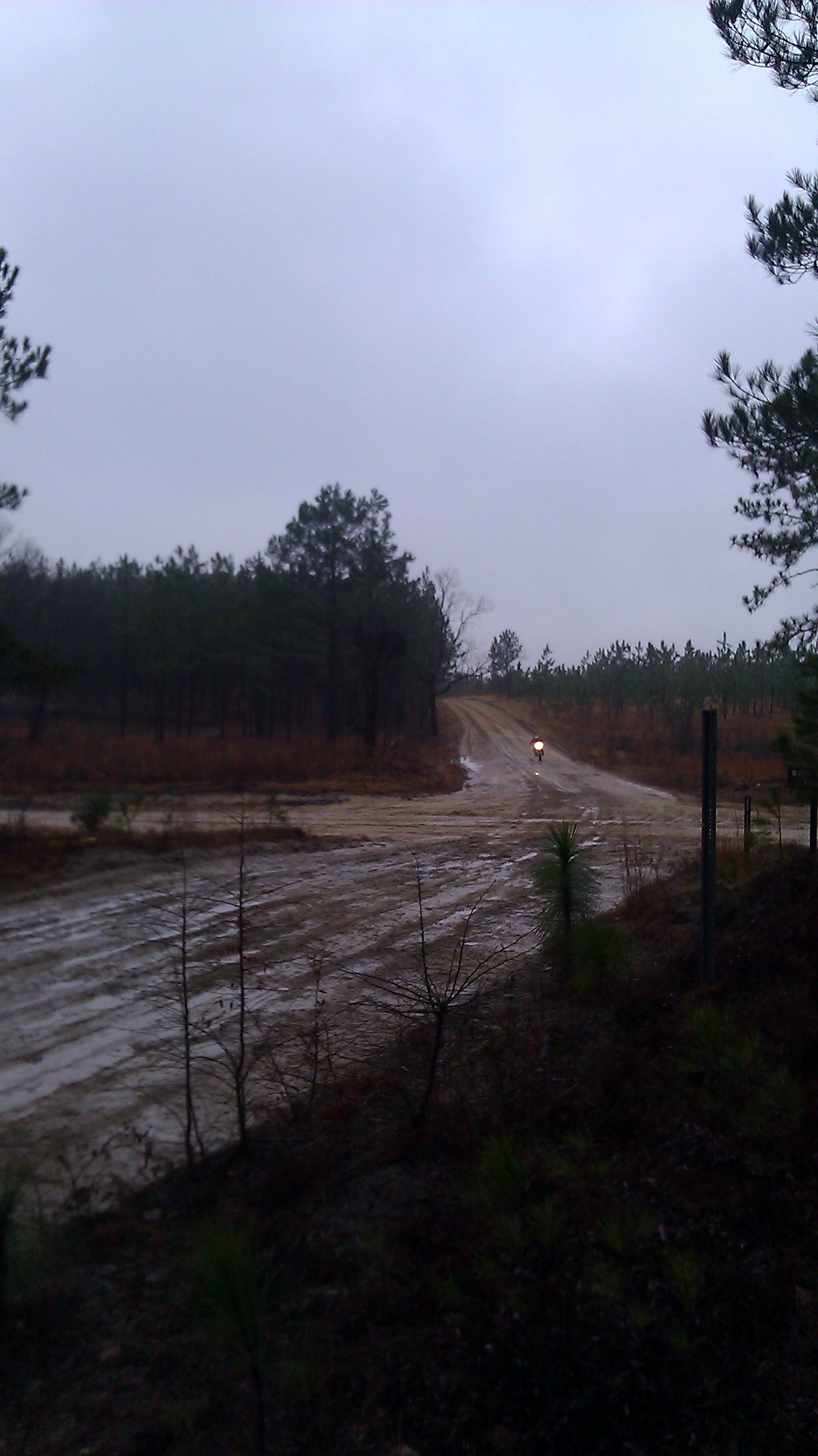
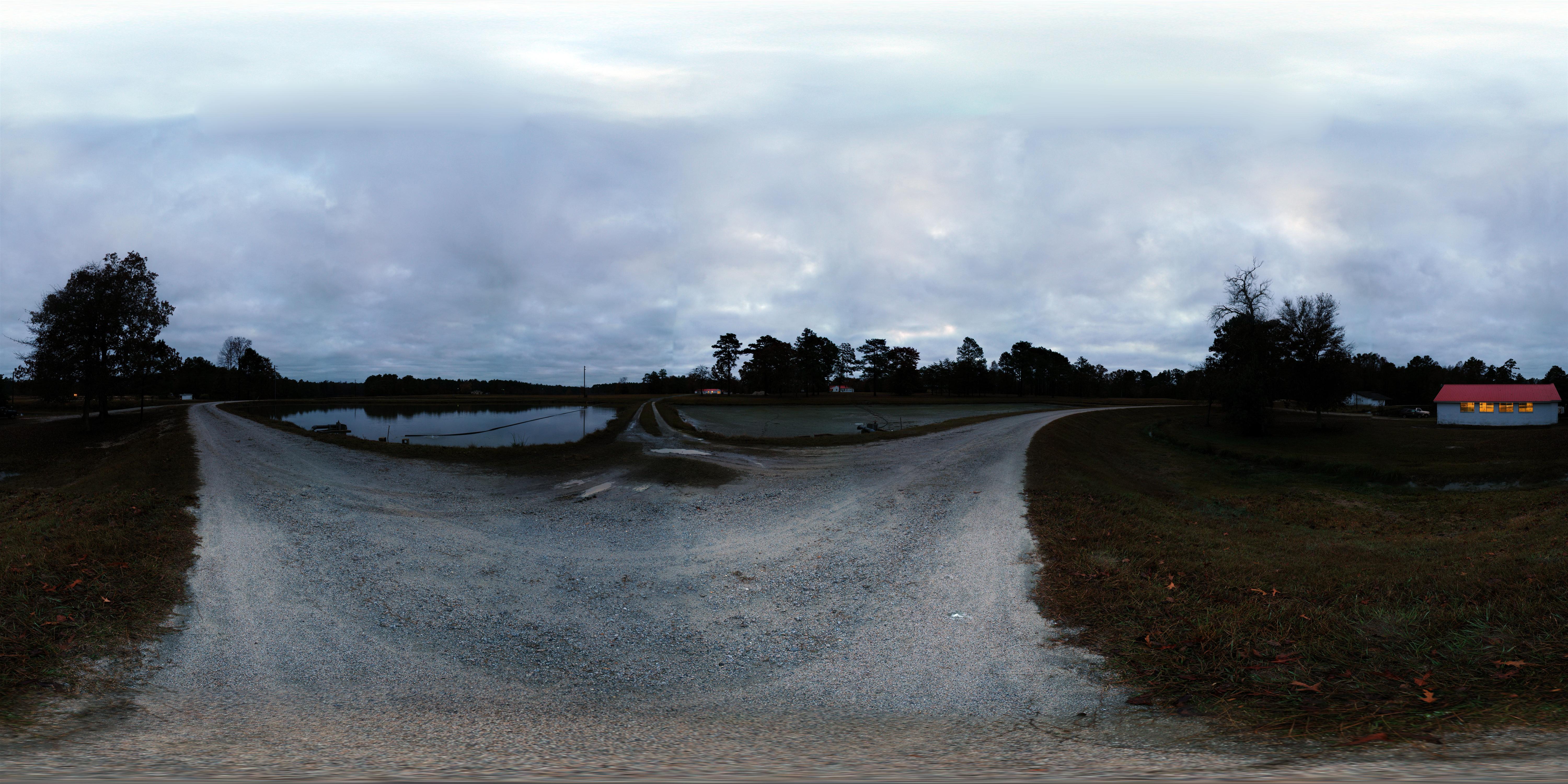
Bill Conger approaches 4 corners
Topographic Map of 38 Daisy St, Cheraw, SC, USA
Find elevation by address:

Places near 38 Daisy St, Cheraw, SC, USA:
2 Malloy St
416 Clark St
617 Kershaw St
416 Greene St
416 Greene St
Cheraw
104 Will G St
104 Will G St
104 Will G St
113 Mary Ln
562 State Rd S-13-573
Cane Mill Crossing
631 Cane Mill Crossing Rd
Orchard Rd, Cheraw, SC, USA
5160 Hatcher Hill Rd
4156 Sc-102
4156 Sc-102
Main St, Chesterfield, SC, USA
Chesterfield
Fairway Road
Recent Searches:
- Elevation of Corso Fratelli Cairoli, 35, Macerata MC, Italy
- Elevation of Tallevast Rd, Sarasota, FL, USA
- Elevation of 4th St E, Sonoma, CA, USA
- Elevation of Black Hollow Rd, Pennsdale, PA, USA
- Elevation of Oakland Ave, Williamsport, PA, USA
- Elevation of Pedrógão Grande, Portugal
- Elevation of Klee Dr, Martinsburg, WV, USA
- Elevation of Via Roma, Pieranica CR, Italy
- Elevation of Tavkvetili Mountain, Georgia
- Elevation of Hartfords Bluff Cir, Mt Pleasant, SC, USA