Elevation of Cheraw, SC, USA
Location: United States > South Carolina > Chesterfield County >
Longitude: -79.883397
Latitude: 34.6976564
Elevation: 47m / 154feet
Barometric Pressure: 101KPa
Elevation Map:
Satellite Map:
Related Photos:
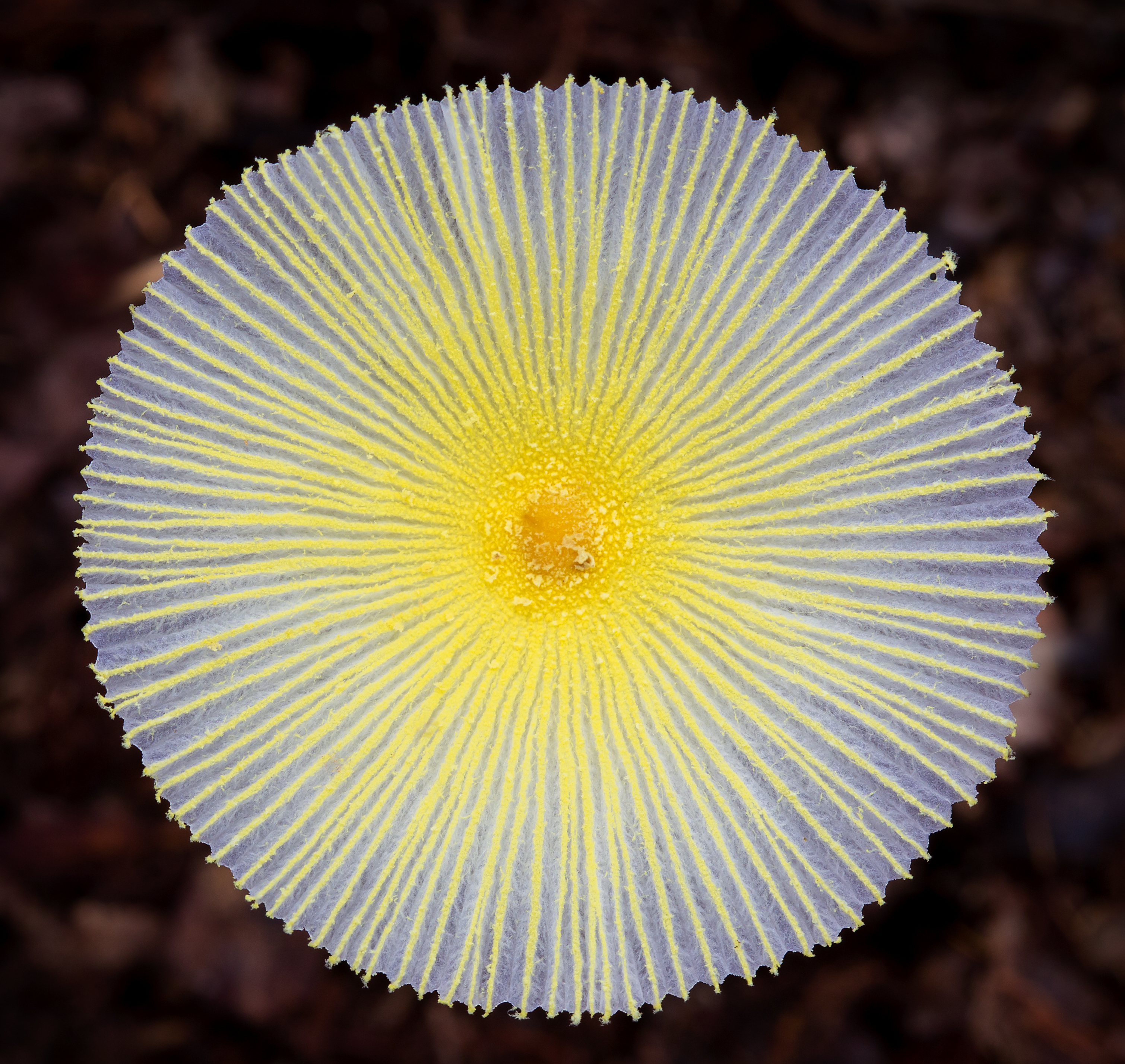
Fragile Dapperling Mushroom Cap
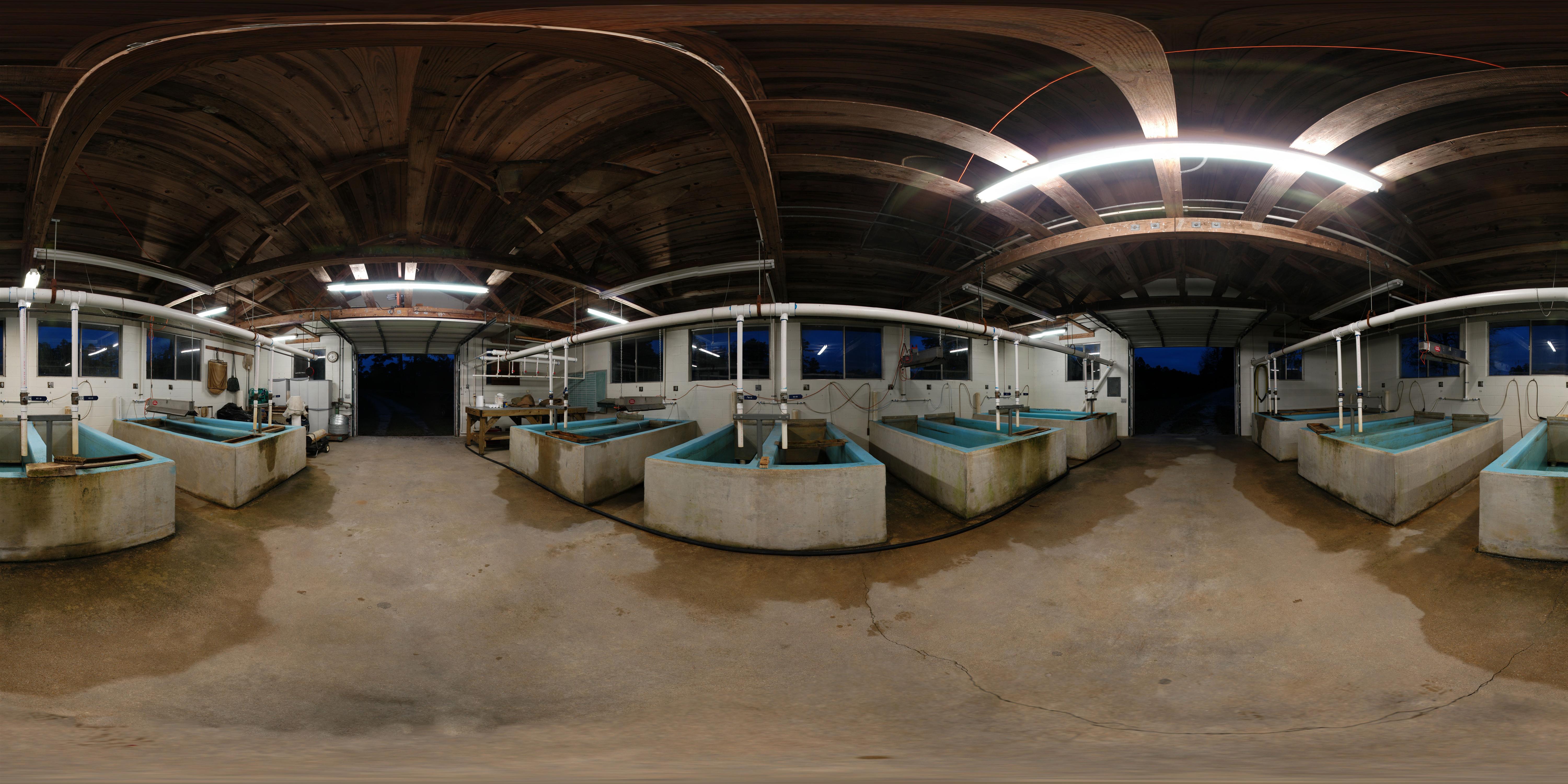
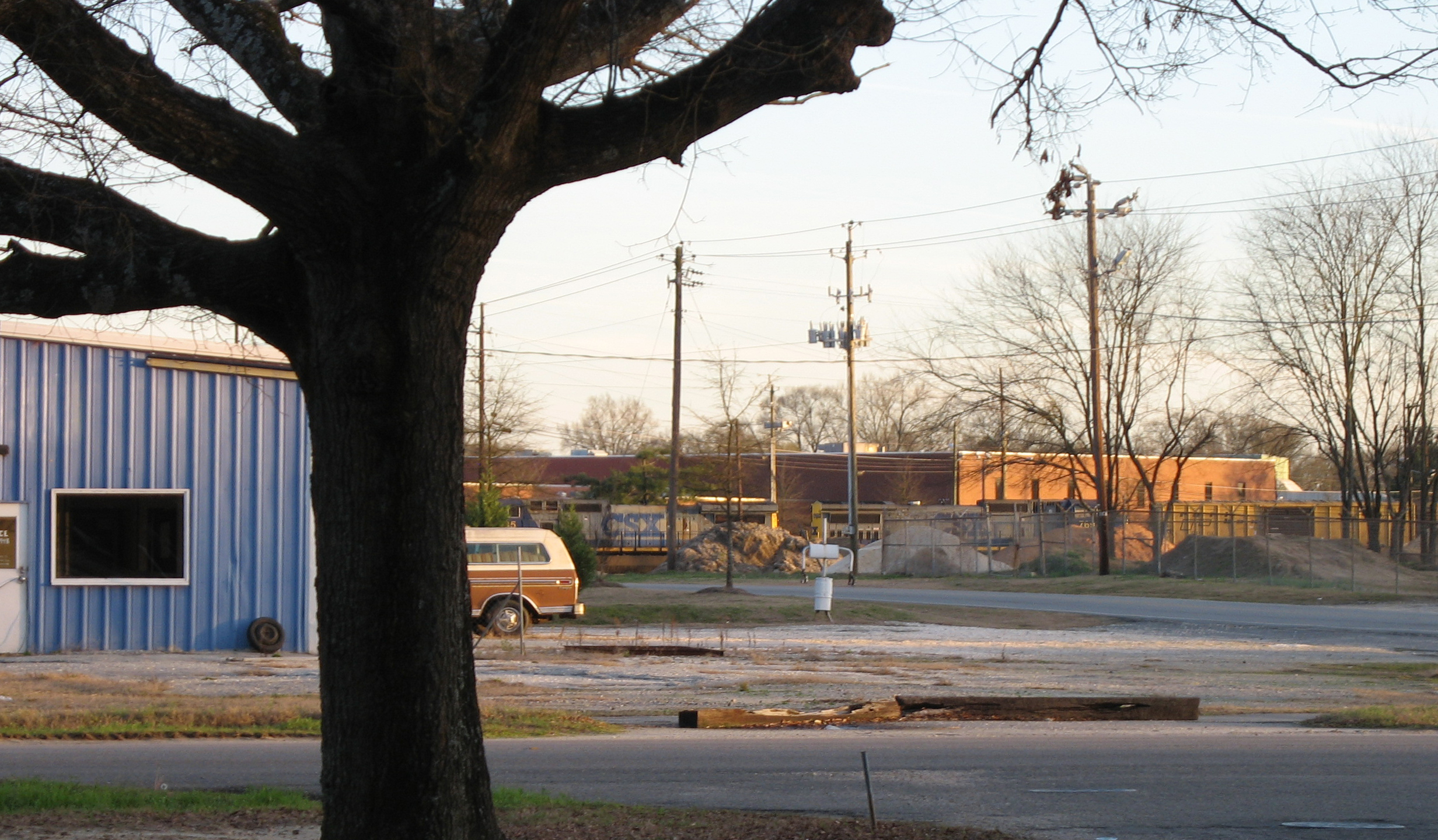
Cheraw Fish House
Early Morning Panorama at Cheraw Fish Hatchery
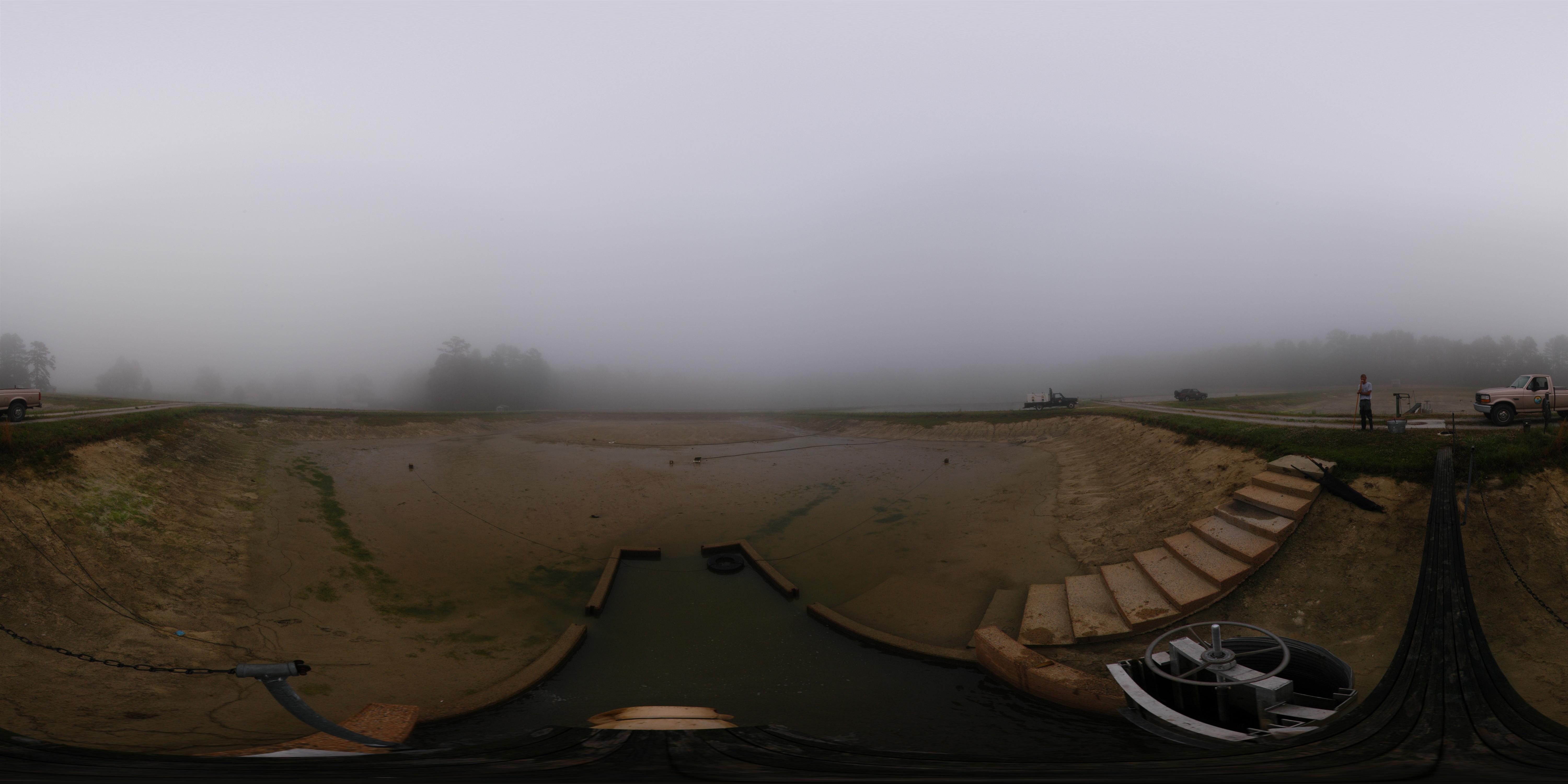
Cheraw striped bass harvest '07
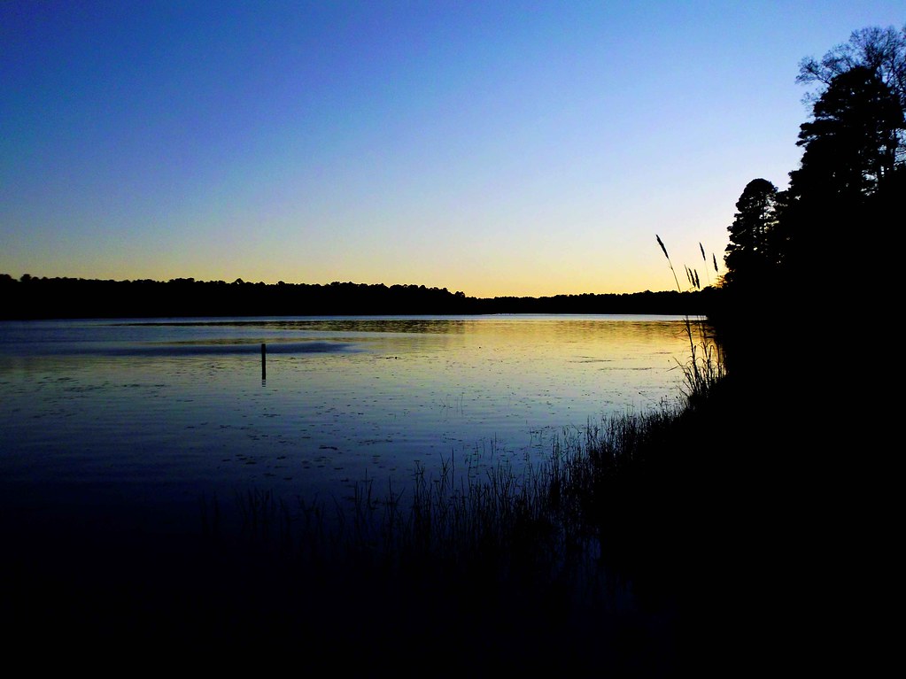
The View
RH_9: Red Hill (Ellerbe) Cemetery
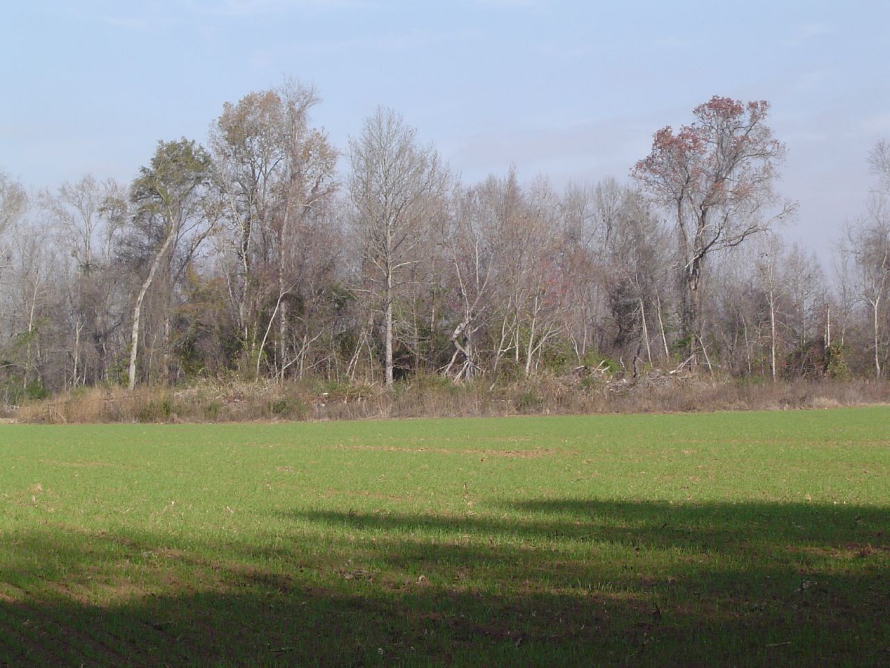
View towards SC 20
Campbell Lake
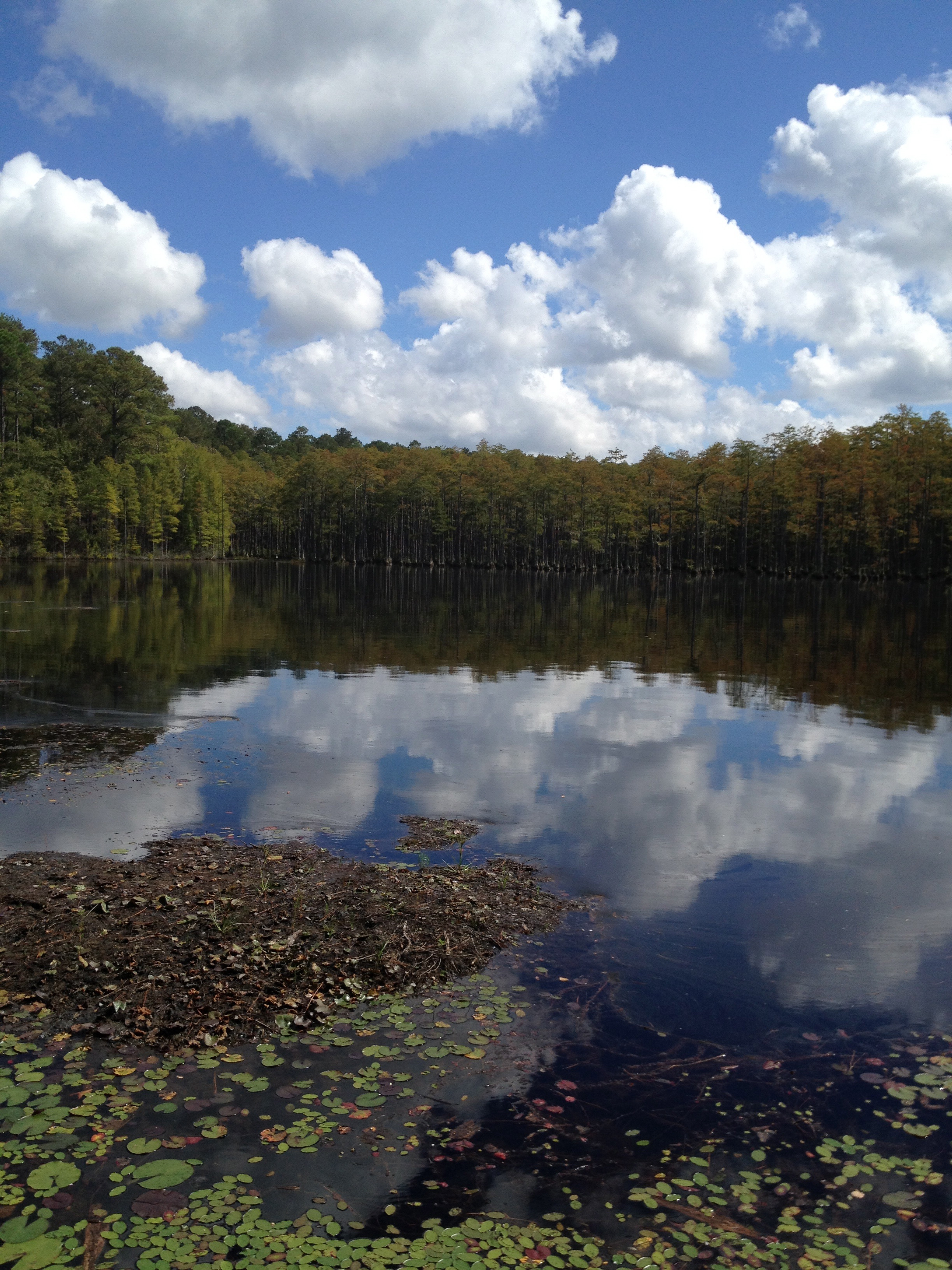
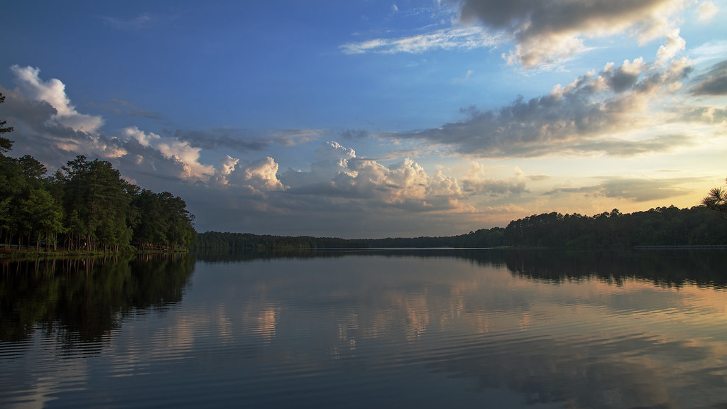
Lake Juniper, Cheraw State Park
Juniper Late Afternoon
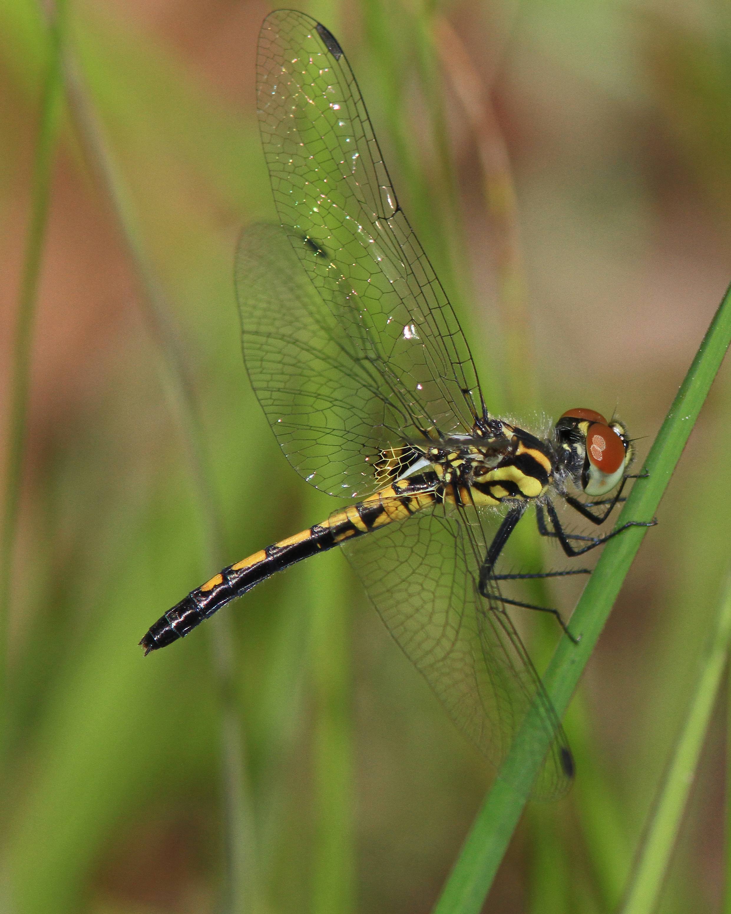
Ornate Pennant
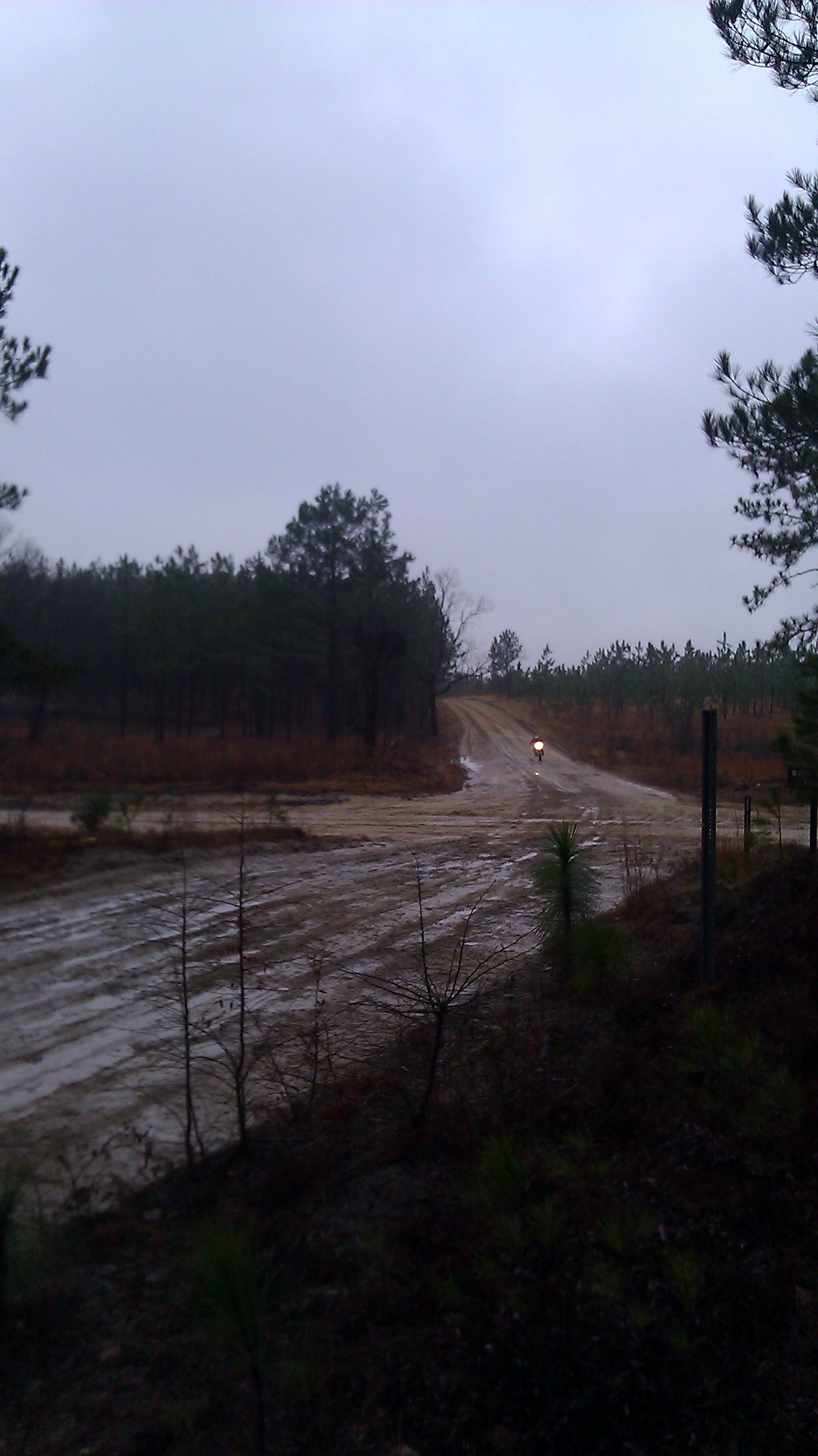
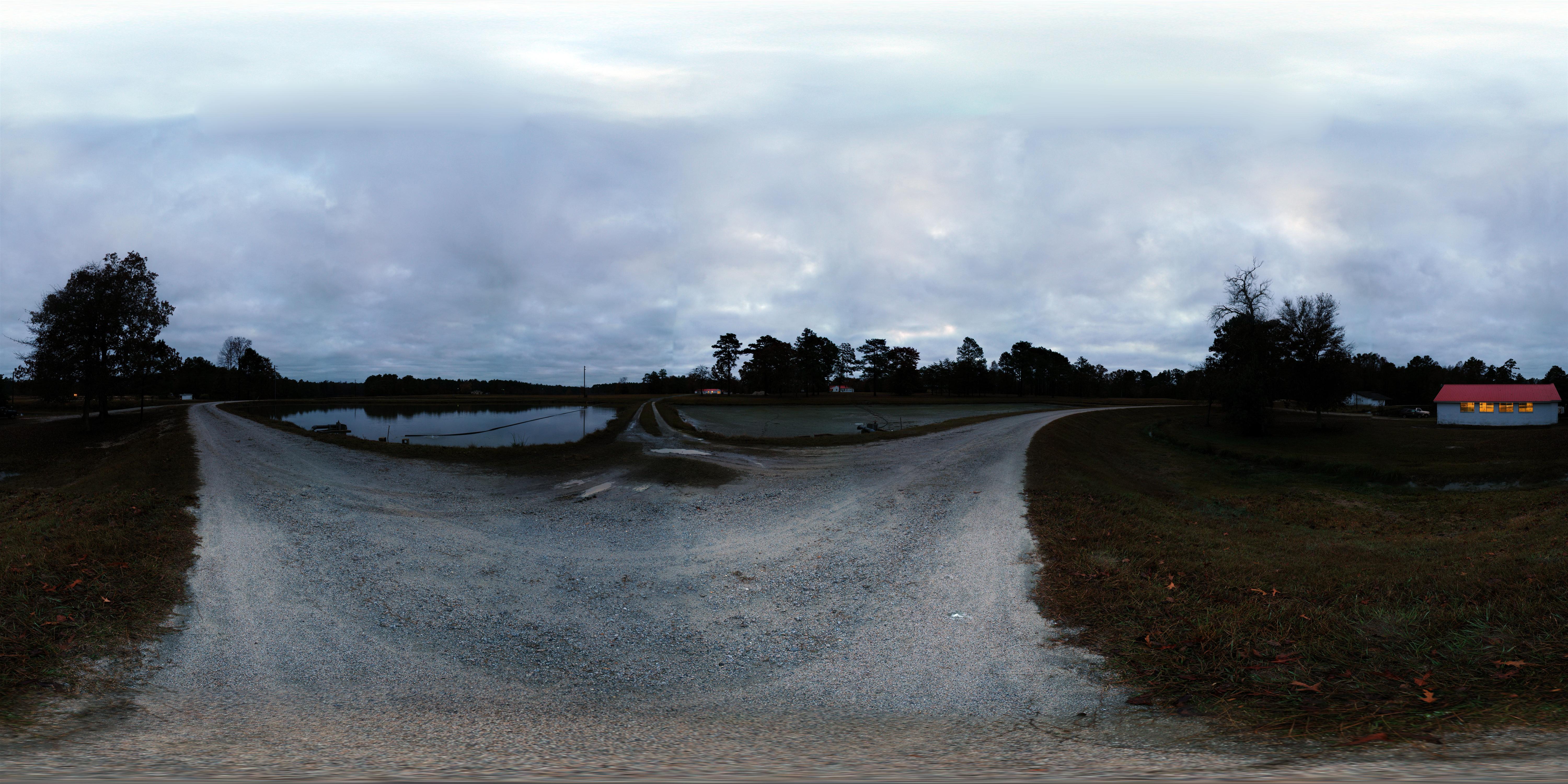
Bill Conger approaches 4 corners
Topographic Map of Cheraw, SC, USA
Find elevation by address:

Places in Cheraw, SC, USA:
Places near Cheraw, SC, USA:
416 Greene St
416 Greene St
617 Kershaw St
2 Malloy St
416 Clark St
104 Will G St
104 Will G St
104 Will G St
38 Daisy St, Cheraw, SC, USA
113 Mary Ln
5160 Hatcher Hill Rd
562 State Rd S-13-573
Orchard Rd, Cheraw, SC, USA
Cane Mill Crossing
631 Cane Mill Crossing Rd
Main St, Chesterfield, SC, USA
Chesterfield
Fairway Road
4156 Sc-102
4156 Sc-102
Recent Searches:
- Elevation of Corso Fratelli Cairoli, 35, Macerata MC, Italy
- Elevation of Tallevast Rd, Sarasota, FL, USA
- Elevation of 4th St E, Sonoma, CA, USA
- Elevation of Black Hollow Rd, Pennsdale, PA, USA
- Elevation of Oakland Ave, Williamsport, PA, USA
- Elevation of Pedrógão Grande, Portugal
- Elevation of Klee Dr, Martinsburg, WV, USA
- Elevation of Via Roma, Pieranica CR, Italy
- Elevation of Tavkvetili Mountain, Georgia
- Elevation of Hartfords Bluff Cir, Mt Pleasant, SC, USA