Elevation of NC- #33, Hobucken, NC, USA
Location: United States > North Carolina > Pamlico County > > Hobucken >
Longitude: -76.570991
Latitude: 35.2462064
Elevation: 1m / 3feet
Barometric Pressure: 101KPa
Elevation Map:
Satellite Map:
Related Photos:
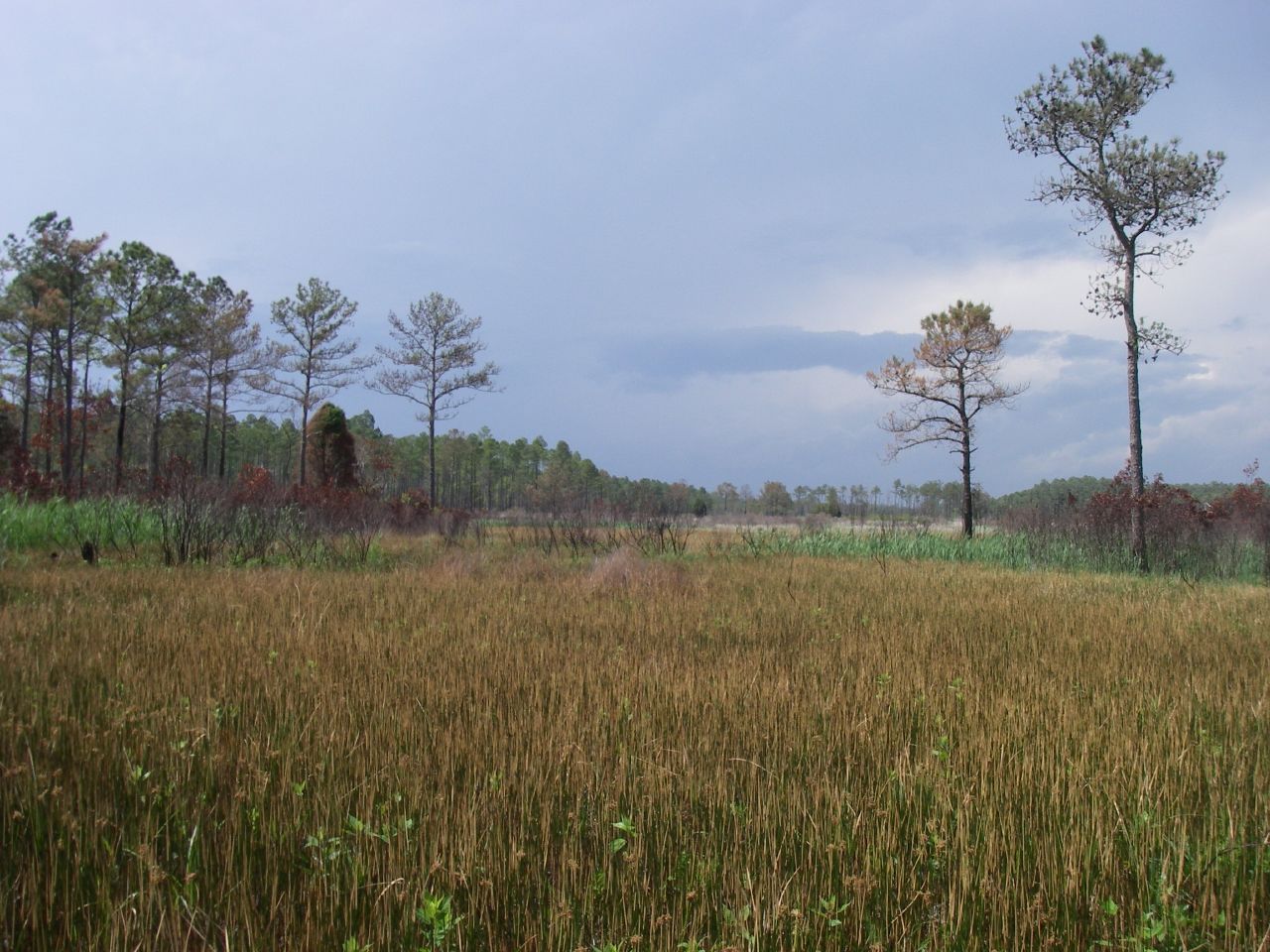
Marsh view

Rise and shine, happy campers.
IMAG0053 (Medium)

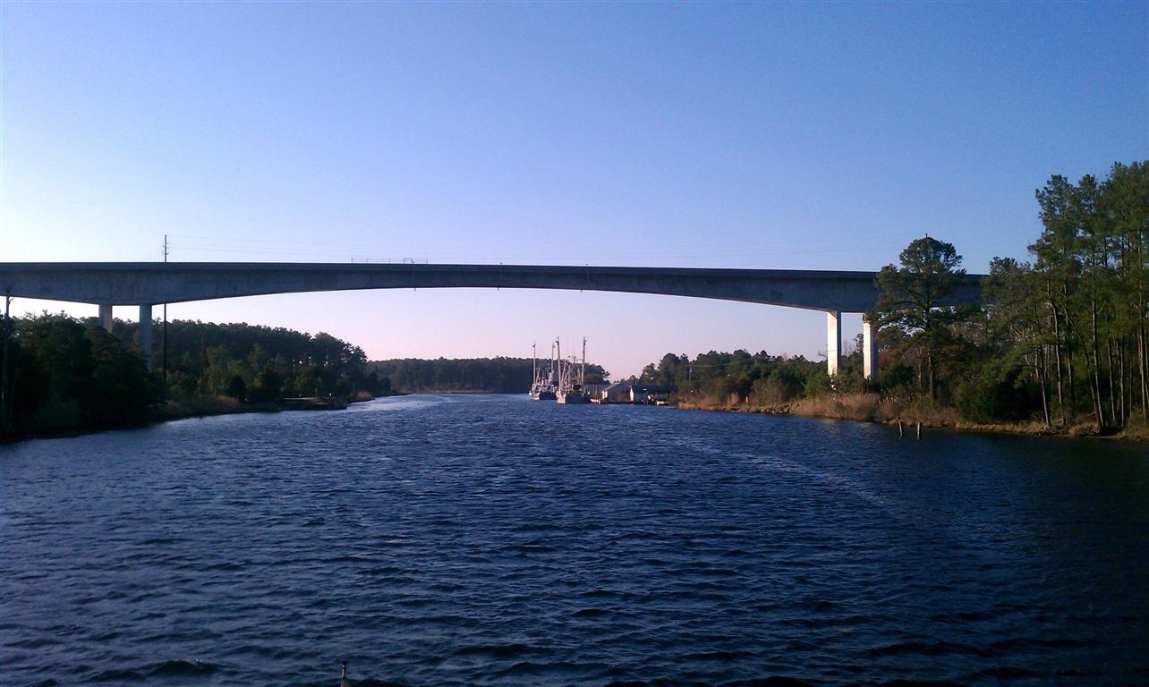
dead end
Topographic Map of NC- #33, Hobucken, NC, USA
Find elevation by address:

Places near NC- #33, Hobucken, NC, USA:
15347 Nc-304 #33
Hobucken
Lowland Road
Middle Prong Rd, Hobucken, NC, USA
Lowland
4568 Lowland Rd
51 Watson Rd
10450 Nc-304
889 Upper Neck Rd
4, NC, USA
103 Carrie Creek Dr
Mesic
275 Breeze Way
8275 Nc-304
960 Griggs Rd
Vandemere
Strawhorn Creek Road
Bay River
64 N Bay River Shores Rd
165 Lewis Rd
Recent Searches:
- Elevation of Hickory Blvd, Bonita Springs, FL, USA
- Elevation of Lalagbene, Bayelsa, Nigeria
- Elevation of Ogbosuware Health Centre, 2WWJ+4PJ, Lalagbene, Bayelsa, Nigeria
- Elevation of Duckhorn Ct, Las Vegas, NV, USA
- Elevation of Garretts Run Rd, Ford City, PA, USA
- Elevation of N WI-55, Freedom, WI, USA
- Elevation map of Hadiya, Ethiopia
- Elevation of Hosaina, Ethiopia
- Elevation of Verde Terrace, North Port, FL, USA
- Elevation of US-, Leesburg, FL, USA