Elevation of Vandemere, NC, USA
Location: United States > North Carolina > Pamlico County > >
Longitude: -76.663539
Latitude: 35.1840563
Elevation: 1m / 3feet
Barometric Pressure: 101KPa
Elevation Map:
Satellite Map:
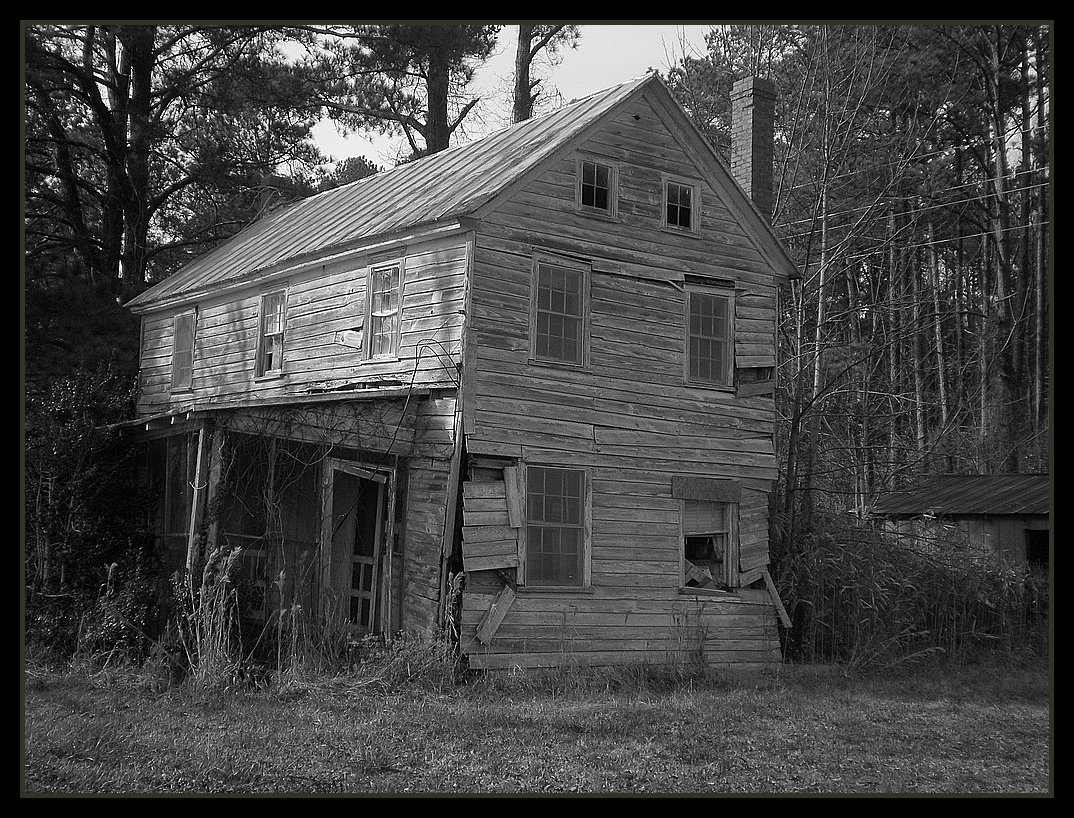
Related Photos:
How Old Are You?
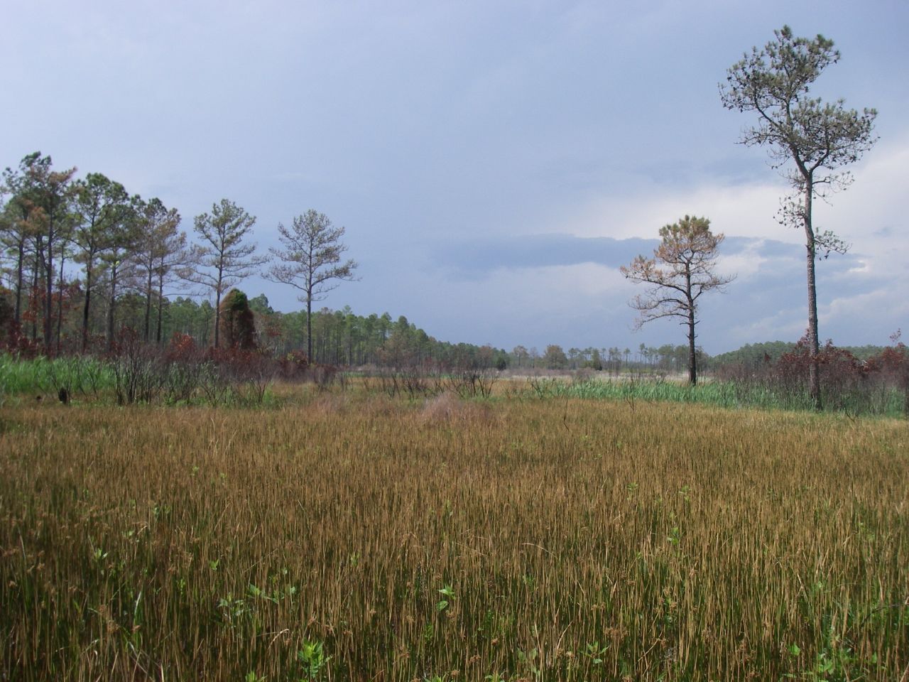
Marsh view

trawler on Broad Creek

P1010038.JPG

P1010023.JPG

P1010029.JPG

P1010030.JPG

female house finch 9571

P1010041.JPG

IMG_1114.JPG
Topographic Map of Vandemere, NC, USA
Find elevation by address:

Places near Vandemere, NC, USA:
960 Griggs Rd
8275 Nc-304
Mesic
64 N Bay River Shores Rd
Bay River
480 Lynchs Beach Loop Rd
2180 Nc-304
275 Breeze Way
103 Carrie Creek Dr
Bay City Rd, Bayboro, NC, USA
3, NC, USA
1508 Idalia Rd
Aurora Medical Center
452 Pearl St
Peed Town Road
204 Chapin St
Aurora
Richland
170 Paul Farm Rd
1823 Nc-306
Recent Searches:
- Elevation of Kootenai Trail Rd, Bonners Ferry, ID, USA
- Elevation of Hickory Blvd, Bonita Springs, FL, USA
- Elevation of Lalagbene, Bayelsa, Nigeria
- Elevation of Ogbosuware Health Centre, 2WWJ+4PJ, Lalagbene, Bayelsa, Nigeria
- Elevation of Duckhorn Ct, Las Vegas, NV, USA
- Elevation of Garretts Run Rd, Ford City, PA, USA
- Elevation of N WI-55, Freedom, WI, USA
- Elevation map of Hadiya, Ethiopia
- Elevation of Hosaina, Ethiopia
- Elevation of Verde Terrace, North Port, FL, USA