Elevation of Paul Farm Rd, Grantsboro, NC, USA
Location: United States > North Carolina > Pamlico County > > Grantsboro >
Longitude: -76.841943
Latitude: 35.1693489
Elevation: 10m / 33feet
Barometric Pressure: 101KPa
Elevation Map:
Satellite Map:
Related Photos:
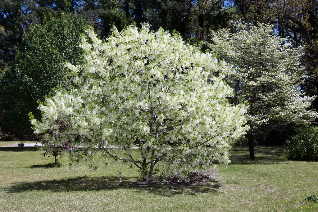
Fringetree (Chionanthus virginicus)

Strange Shadows
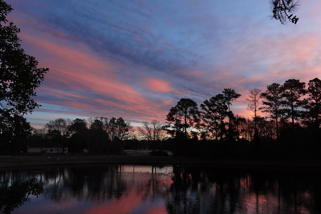
Pink Twilight
P1010030.JPG
P1010038.JPG
P1010041.JPG
IMG_1114.JPG

What Once Was
P1010033.JPG
P1010023.JPG
P1010029.JPG
Cloud Highlight
Chris's Camera
Chris's Camera
Chris's Camera

The Golden-winged Skimmer
Topographic Map of Paul Farm Rd, Grantsboro, NC, USA
Find elevation by address:

Places near Paul Farm Rd, Grantsboro, NC, USA:
1823 Nc-306
1757 Nc-306
2664 Nc-306
2639 Nc-306
3, NC, USA
Bay City Rd, Bayboro, NC, USA
10255 Nc-306
10255 Nc-306
1044 Rowe Rd
2180 Nc-304
1508 Idalia Rd
Olympia Road
1841 Olympia Rd
New Bern, NC, USA
734 Walker Rd
Peed Town Road
23739 Nc-33
204 Chapin St
480 Lynchs Beach Loop Rd
452 Pearl St
Recent Searches:
- Elevation of Hickory St, Greenville, NC, USA
- Elevation of Poplar Ln, Guffey, CO, USA
- Elevation of Falling Spring Rd, Clyde, NC, USA
- Elevation of Kingsfield St, Castle Rock, CO, USA
- Elevation of AMELIA CT HSE, VA, USA
- Elevation of Abbey Dr, Virginia Beach, VA, USA
- Elevation of Brooks Lp, Spearfish, SD, USA
- Elevation of Panther Dr, Maggie Valley, NC, USA
- Elevation of Jais St - Wadi Shehah - Ras al Khaimah - United Arab Emirates
- Elevation of Shawnee Avenue, Shawnee Ave, Easton, PA, USA