Elevation of Griggs Rd, Vandemere, NC, USA
Location: United States > North Carolina > Pamlico County > > Vandemere >
Longitude: -76.657098
Latitude: 35.192569
Elevation: 1m / 3feet
Barometric Pressure: 101KPa
Elevation Map:
Satellite Map:
Related Photos:

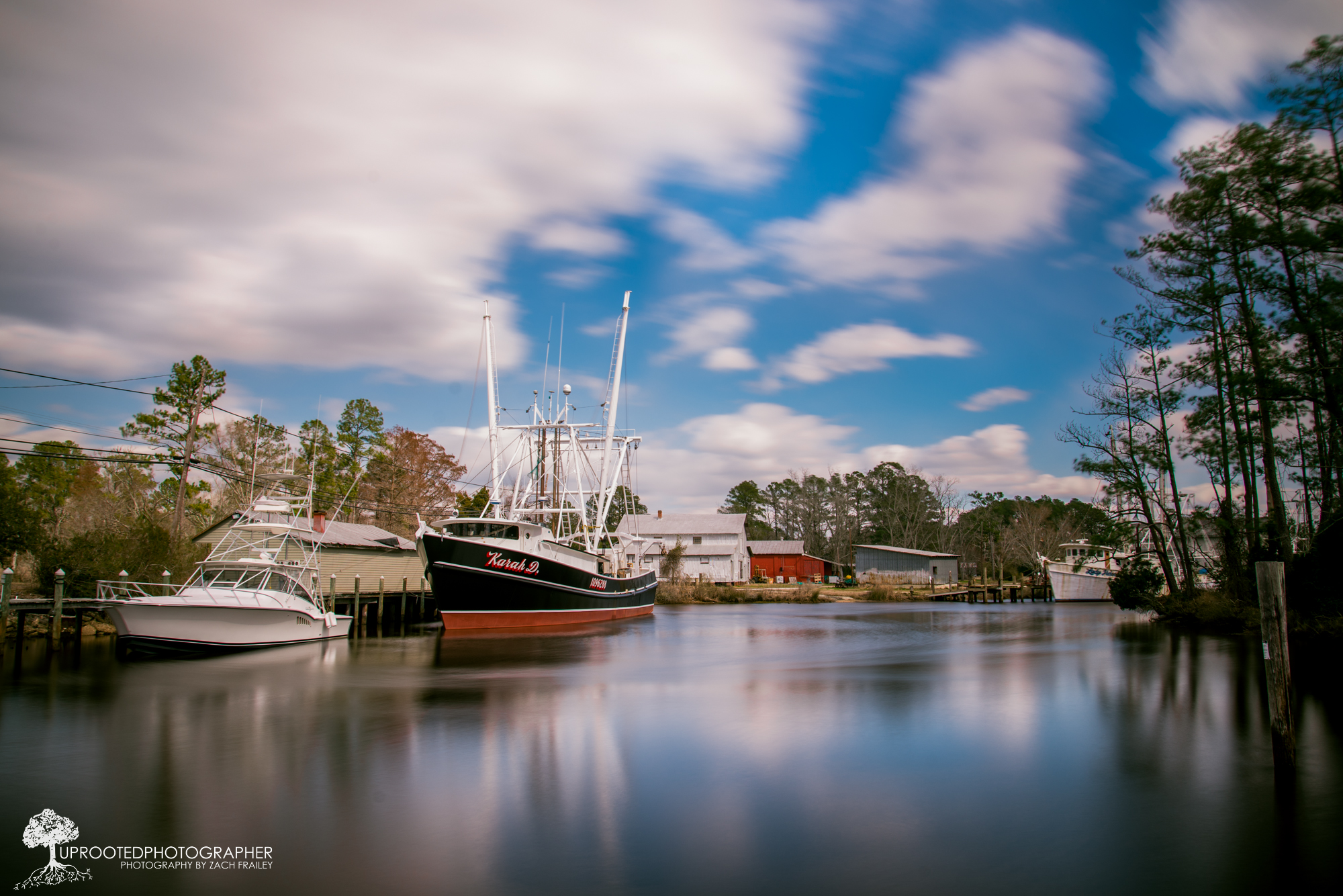
trawler on Broad Creek

female house finch 9571
P1010030.JPG
IMG_1114.JPG
P1010033.JPG
P1010038.JPG
P1010041.JPG

IMAG0053 (Medium)
P1010029.JPG
Windy Day | Bayboro, NC
Events - Catering
P1010043.JPG
P1010035.JPG
P1010010.JPG

Charlies_Gray Whitley_9935
Rise and shine, happy campers.

Stairway to heaven

Quality Furniture

April-May 2013
IMG_3498 - Cropped
IMG_3495 - Cropped
IMG_3493 - Cropped
IMG_3492 - Cropped
IMG_3491 - Cropped
Topographic Map of Griggs Rd, Vandemere, NC, USA
Find elevation by address:

Places near Griggs Rd, Vandemere, NC, USA:
Vandemere
Mesic
8275 Nc-304
Bay River
64 N Bay River Shores Rd
480 Lynchs Beach Loop Rd
103 Carrie Creek Dr
275 Breeze Way
2180 Nc-304
Bay City Rd, Bayboro, NC, USA
1508 Idalia Rd
3, NC, USA
Aurora Medical Center
452 Pearl St
204 Chapin St
Peed Town Road
Aurora
Richland
170 Paul Farm Rd
1823 Nc-306
Recent Searches:
- Elevation of Lampiasi St, Sarasota, FL, USA
- Elevation of Elwyn Dr, Roanoke Rapids, NC, USA
- Elevation of Congressional Dr, Stevensville, MD, USA
- Elevation of Bellview Rd, McLean, VA, USA
- Elevation of Stage Island Rd, Chatham, MA, USA
- Elevation of Shibuya Scramble Crossing, 21 Udagawacho, Shibuya City, Tokyo -, Japan
- Elevation of Jadagoniai, Kaunas District Municipality, Lithuania
- Elevation of Pagonija rock, Kranto 7-oji g. 8"N, Kaunas, Lithuania
- Elevation of Co Rd 87, Jamestown, CO, USA
- Elevation of Tenjo, Cundinamarca, Colombia