Elevation of Strawhorn Creek Road, Strawhorn Creek Rd, Richland, NC, USA
Location: United States > North Carolina > Beaufort County > Richland > Aurora >
Longitude: -76.658016
Latitude: 35.3400761
Elevation: 1m / 3feet
Barometric Pressure: 101KPa
Elevation Map:
Satellite Map:
Related Photos:

PCS Phosphate
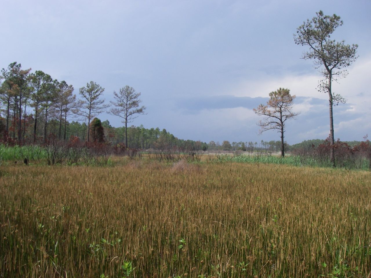
Marsh view

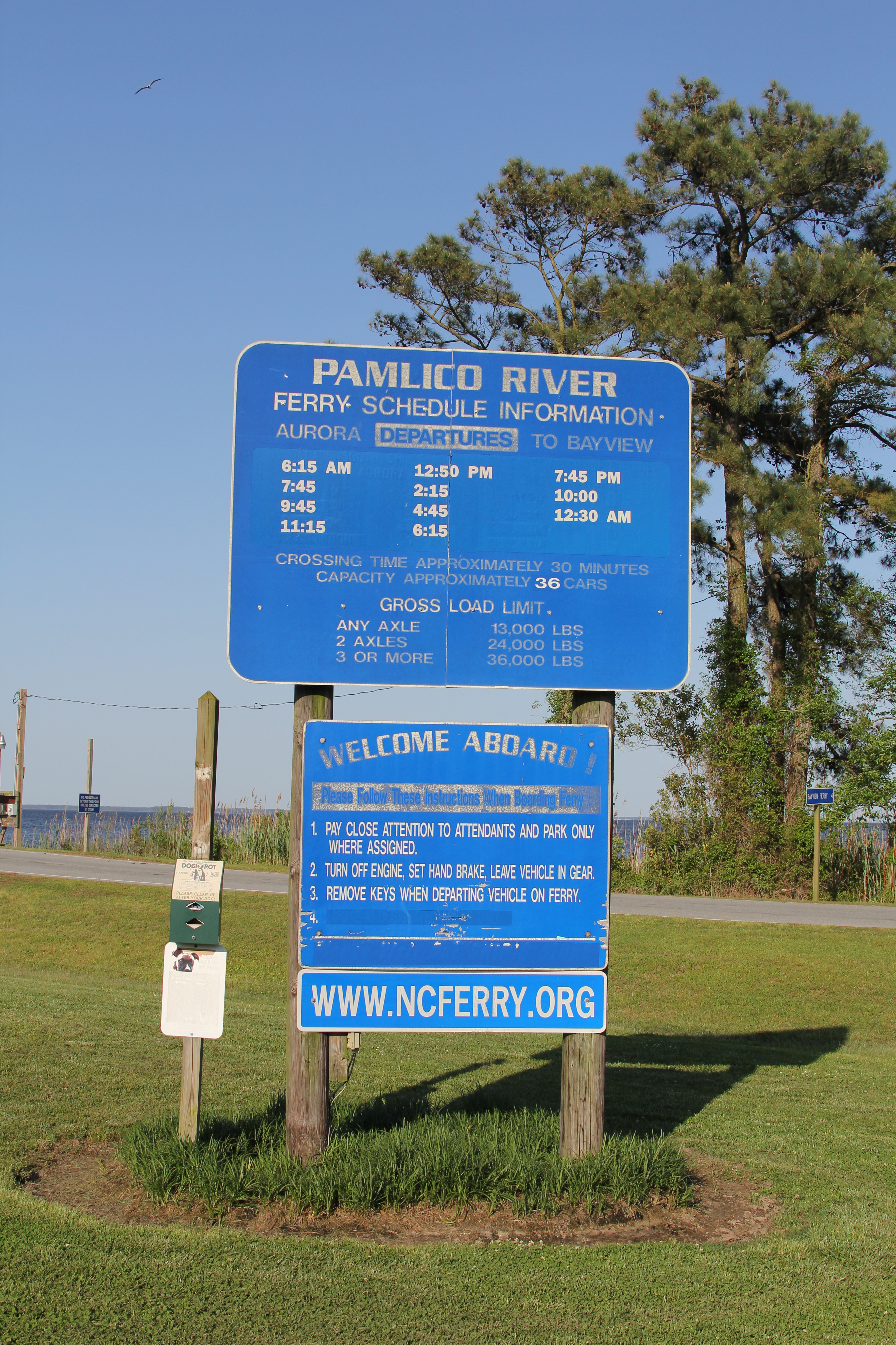
View from the river

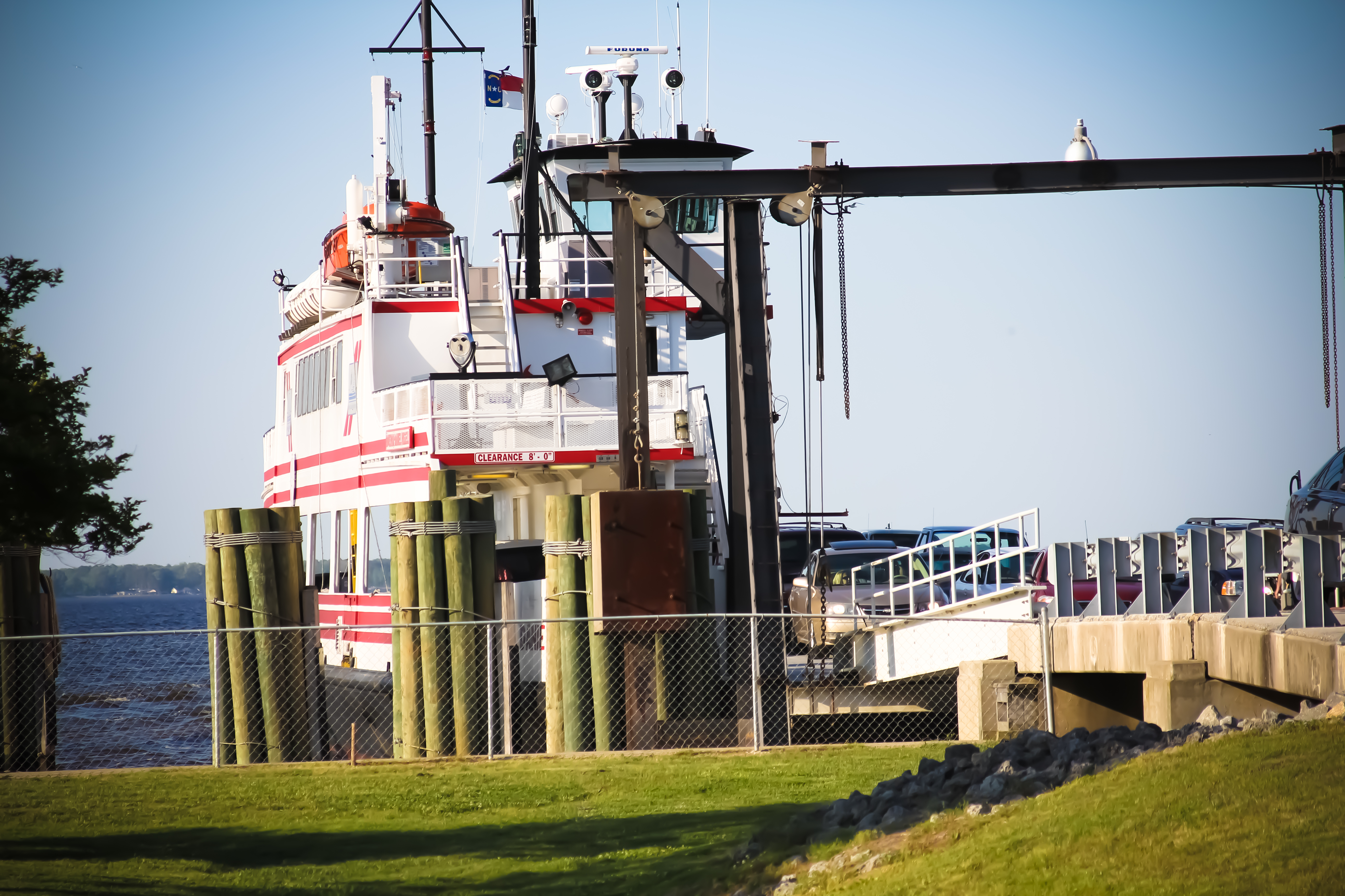
Ferry view

20140504-IMG_5159

Pamlico River ferry

20140504-IMG_5109

20140504-IMG_5111

20140504-IMG_5113

20140504-IMG_5115

20140504-IMG_5118

20140504-IMG_5124

20140504-IMG_5126

20140504-IMG_5133
20140504-IMG_5136

20140504-IMG_5138

20140504-IMG_5141
20140504-IMG_5155

20140504-IMG_5171

20140504-IMG_5175

20140504-IMG_5178

20140504-IMG_5182

20140504-IMG_5183

20140504-IMG_5186
Topographic Map of Strawhorn Creek Road, Strawhorn Creek Rd, Richland, NC, USA
Find elevation by address:

Places near Strawhorn Creek Road, Strawhorn Creek Rd, Richland, NC, USA:
165 Lewis Rd
165 State Rd 1964
8 Pam Dr
Old Pamlico Beach Road West
Seaview Court
75 Seaview Ct
Pinecrest Road
Pinecrest Road
Pinecrest Road
822 Ross Rd
101 Sweetwater
115 Waterford Dr
12 Foy Ln
Mixon Creek Drive
Mixon Creek Rd, Bath, NC, USA
Foreman Ln, Belhaven, NC, USA
Bayview Rd, Bath, NC, USA
King Blount Drive
Bath
Shore Drive
Recent Searches:
- Elevation of Congressional Dr, Stevensville, MD, USA
- Elevation of Bellview Rd, McLean, VA, USA
- Elevation of Stage Island Rd, Chatham, MA, USA
- Elevation of Shibuya Scramble Crossing, 21 Udagawacho, Shibuya City, Tokyo -, Japan
- Elevation of Jadagoniai, Kaunas District Municipality, Lithuania
- Elevation of Pagonija rock, Kranto 7-oji g. 8"N, Kaunas, Lithuania
- Elevation of Co Rd 87, Jamestown, CO, USA
- Elevation of Tenjo, Cundinamarca, Colombia
- Elevation of Côte-des-Neiges, Montreal, QC H4A 3J6, Canada
- Elevation of Bobcat Dr, Helena, MT, USA