Elevation of Waterford Dr, Bath, NC, USA
Location: United States > North Carolina > Beaufort County > Bath >
Longitude: -76.719952
Latitude: 35.4290545
Elevation: 2m / 7feet
Barometric Pressure: 101KPa
Elevation Map:
Satellite Map:
Related Photos:

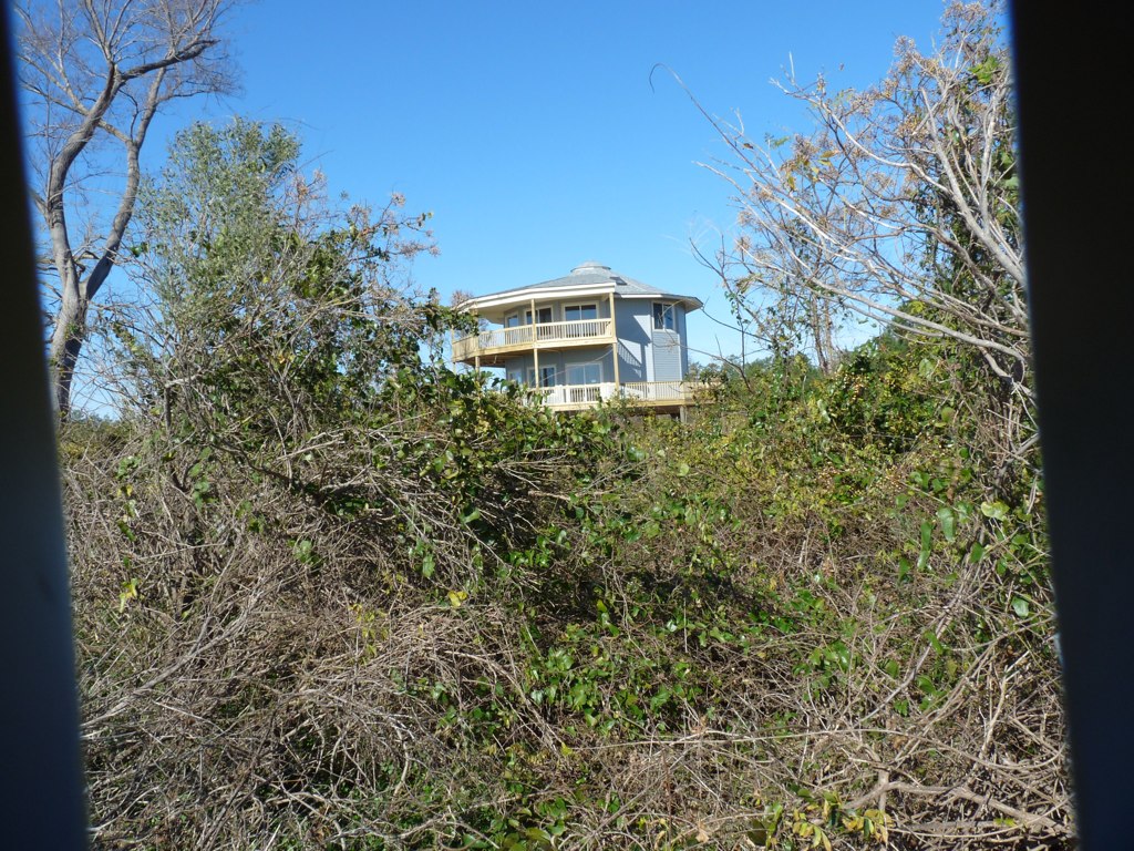
Bath, North Carolina

Belhaven, NC
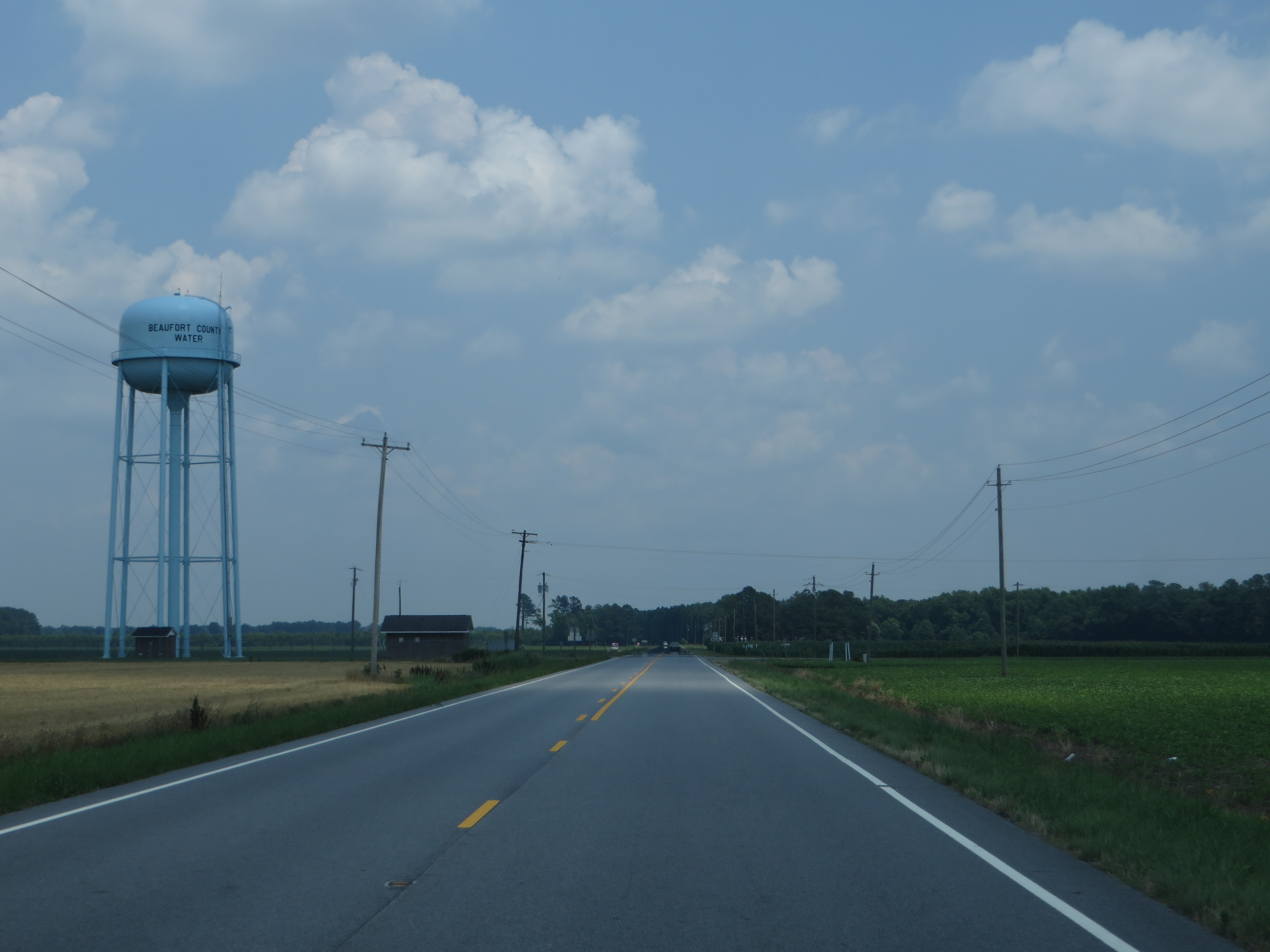
U.S. 264 Between Washington and Belhaven, North Carolina
U.S. 264 Between Washington and Belhaven, North Carolina
U.S. 264 Between Washington and Belhaven, North Carolina
U.S. 264 Between Washington and Belhaven, North Carolina
View from the river

9-28_2

9-24_3

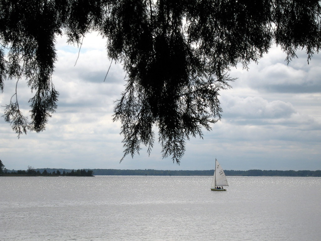
Pungo River sunrise
9-30_4

Pungo River sunrise

20140504-IMG_5159
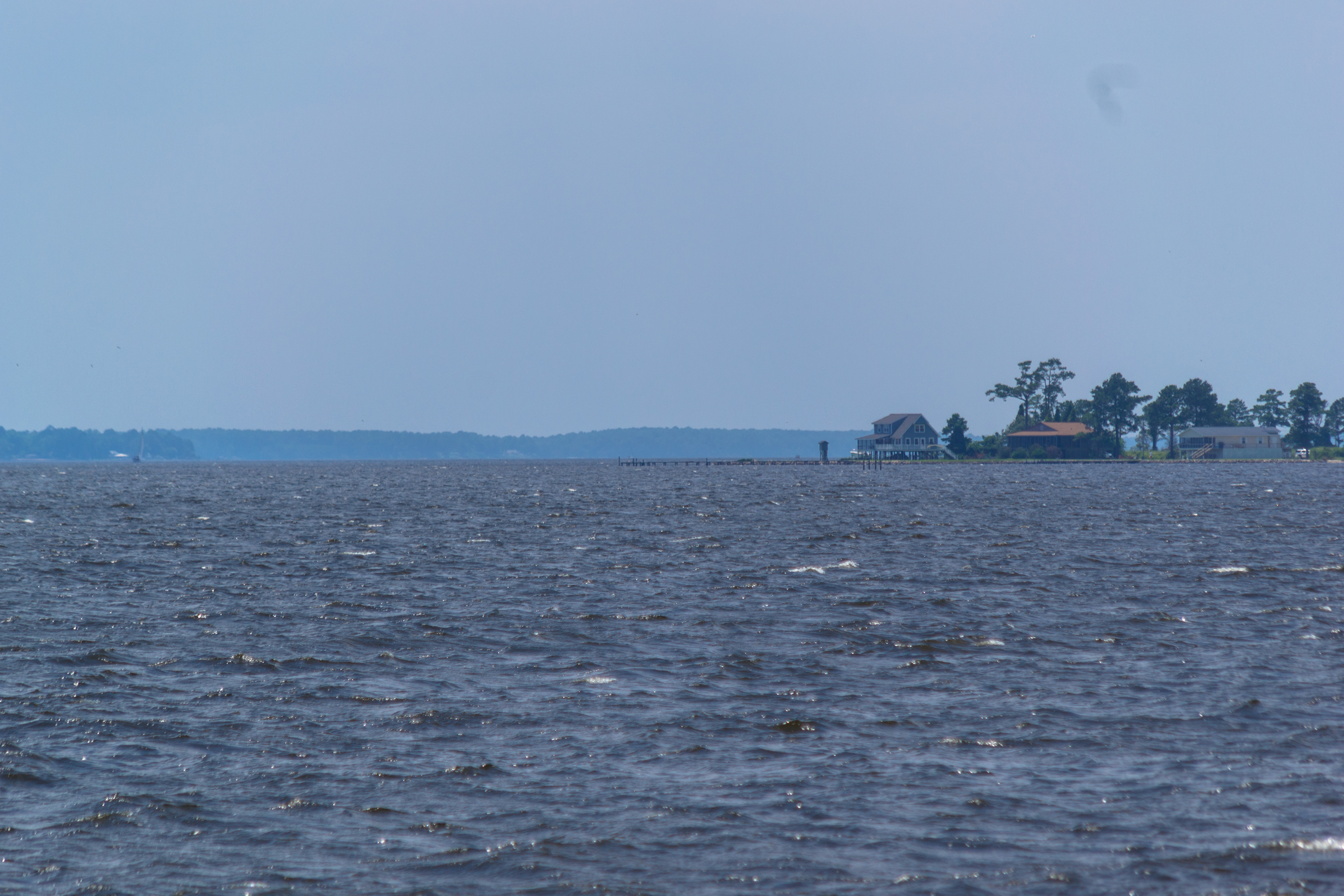
Ferry view

9-30sunset
20180623-DSC_2618
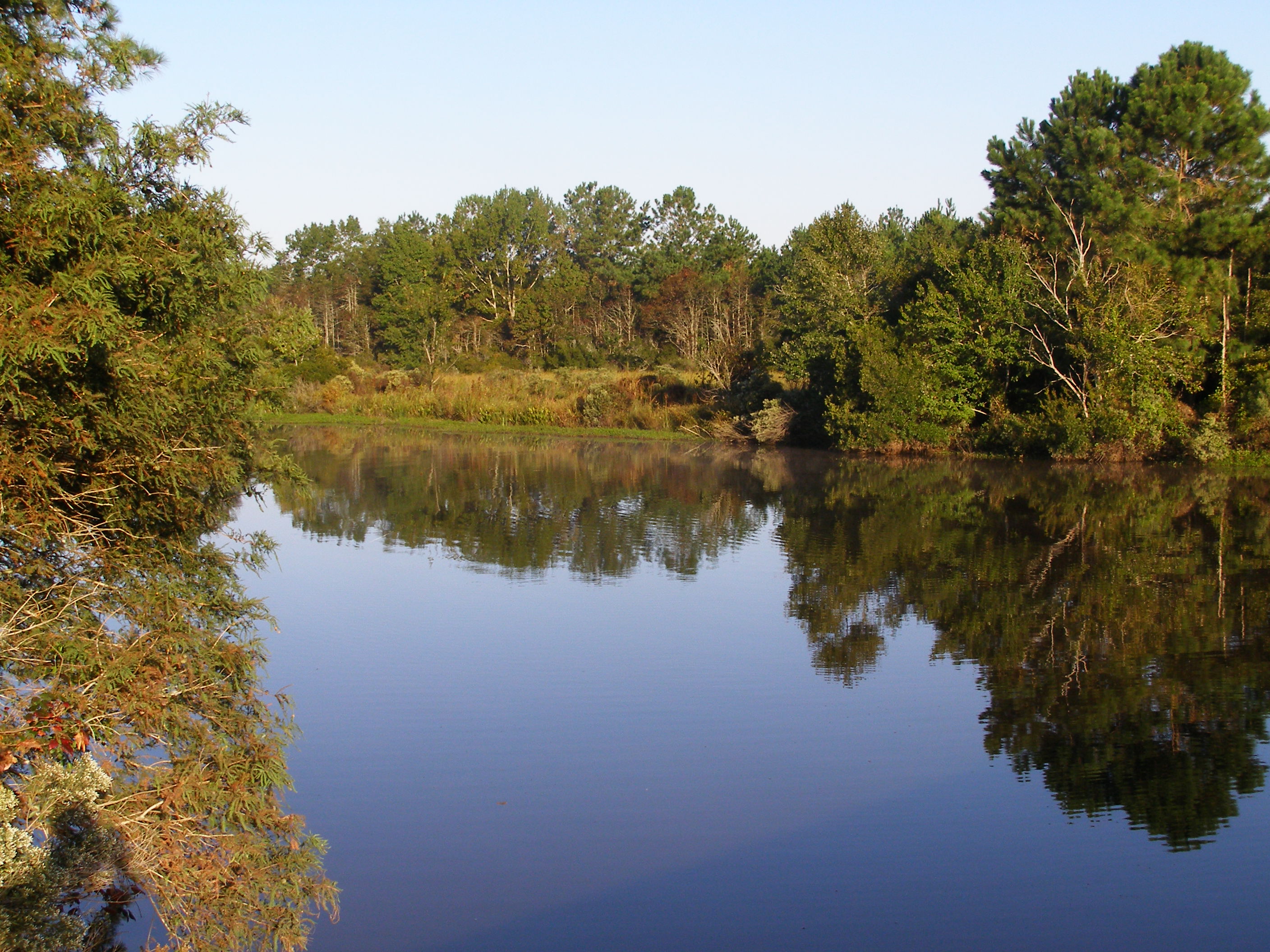
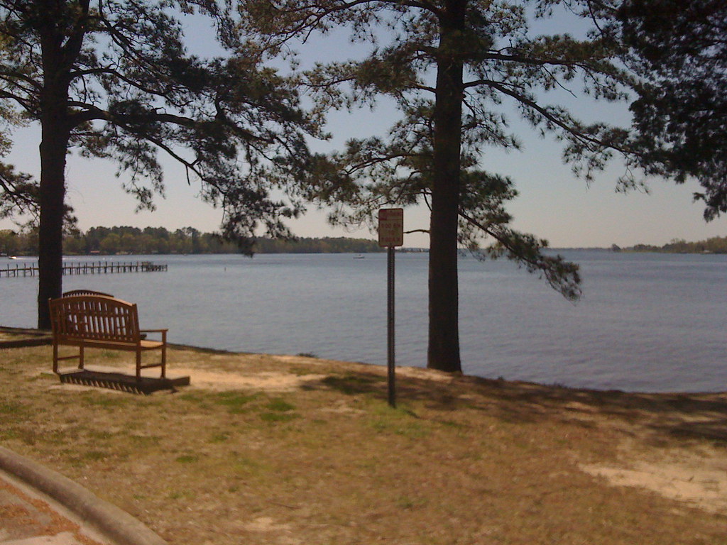
Pamlico River
Historic Bath, NC
Topographic Map of Waterford Dr, Bath, NC, USA
Find elevation by address:

Places near Waterford Dr, Bath, NC, USA:
101 Sweetwater
12 Foy Ln
822 Ross Rd
Pinecrest Road
Pinecrest Road
Pinecrest Road
Seaview Court
75 Seaview Ct
Mixon Creek Drive
Mixon Creek Rd, Bath, NC, USA
8 Pam Dr
King Blount Drive
Bayview Rd, Bath, NC, USA
Foreman Ln, Belhaven, NC, USA
Old Pamlico Beach Road West
Bath
Shore Drive
103 Shore Dr
101 Shore Dr
165 State Rd 1964
Recent Searches:
- Elevation of W Granada St, Tampa, FL, USA
- Elevation of Pykes Down, Ivybridge PL21 0BY, UK
- Elevation of Jalan Senandin, Lutong, Miri, Sarawak, Malaysia
- Elevation of Bilohirs'k
- Elevation of 30 Oak Lawn Dr, Barkhamsted, CT, USA
- Elevation of Luther Road, Luther Rd, Auburn, CA, USA
- Elevation of Unnamed Road, Respublika Severnaya Osetiya — Alaniya, Russia
- Elevation of Verkhny Fiagdon, North Ossetia–Alania Republic, Russia
- Elevation of F. Viola Hiway, San Rafael, Bulacan, Philippines
- Elevation of Herbage Dr, Gulfport, MS, USA