Elevation of Lowland Rd, Lowland, NC, USA
Location: United States > North Carolina > Pamlico County > > Lowland >
Longitude: -76.569398
Latitude: 35.300498
Elevation: 1m / 3feet
Barometric Pressure: 101KPa
Elevation Map:
Satellite Map:
Related Photos:
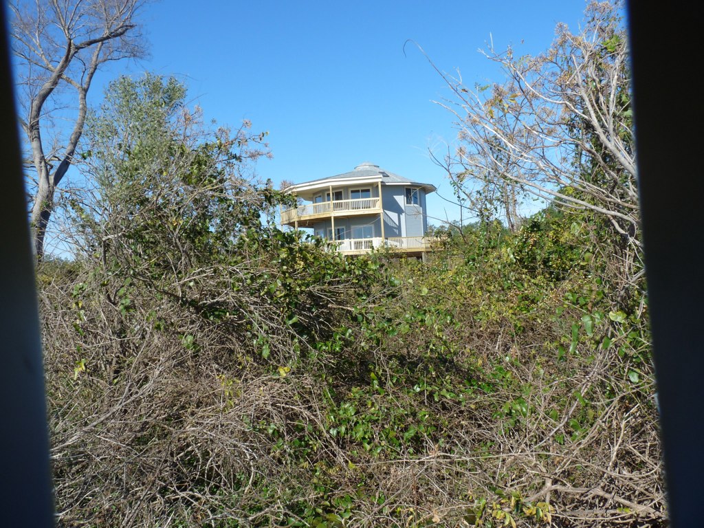
View from the river

IMAG0053 (Medium)

Rise and shine, happy campers.
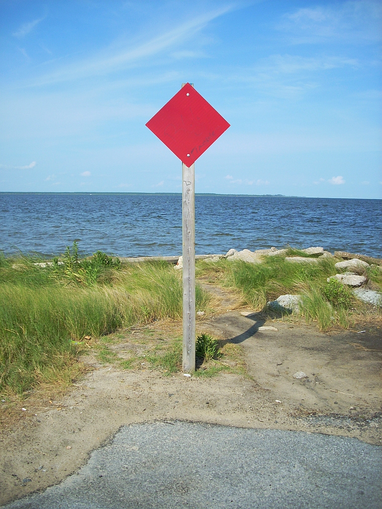
dead end
Topographic Map of Lowland Rd, Lowland, NC, USA
Find elevation by address:

Places near Lowland Rd, Lowland, NC, USA:
Lowland
51 Watson Rd
Lowland Road
Middle Prong Rd, Hobucken, NC, USA
15347 Nc-304 #33
15347 Nc-304 #33
Hobucken
4, NC, USA
103 Carrie Creek Dr
275 Breeze Way
Strawhorn Creek Road
Pamlico Riverside Drive
165 Lewis Rd
165 State Rd 1964
10450 Nc-304
219 Tate Landing Rd
889 Upper Neck Rd
Mesic
Old Pamlico Beach Road West
8275 Nc-304
Recent Searches:
- Elevation of Duckhorn Ct, Las Vegas, NV, USA
- Elevation of Garretts Run Rd, Ford City, PA, USA
- Elevation of N WI-55, Freedom, WI, USA
- Elevation map of Hadiya, Ethiopia
- Elevation of Hosaina, Ethiopia
- Elevation of Verde Terrace, North Port, FL, USA
- Elevation of US-, Leesburg, FL, USA
- Elevation of Summit Dr, Kerrville, TX, USA
- Elevation of Hanson Rd, Cedaredge, CO, USA
- Elevation of Maxine St NE, Albuquerque, NM, USA