Elevation of Tate Landing Rd, Belhaven, NC, USA
Location: United States > North Carolina > Beaufort County > Pantego > Belhaven >
Longitude: -76.595529
Latitude: 35.4120373
Elevation: 1m / 3feet
Barometric Pressure: 101KPa
Elevation Map:
Satellite Map:
Related Photos:

Belhaven, NC
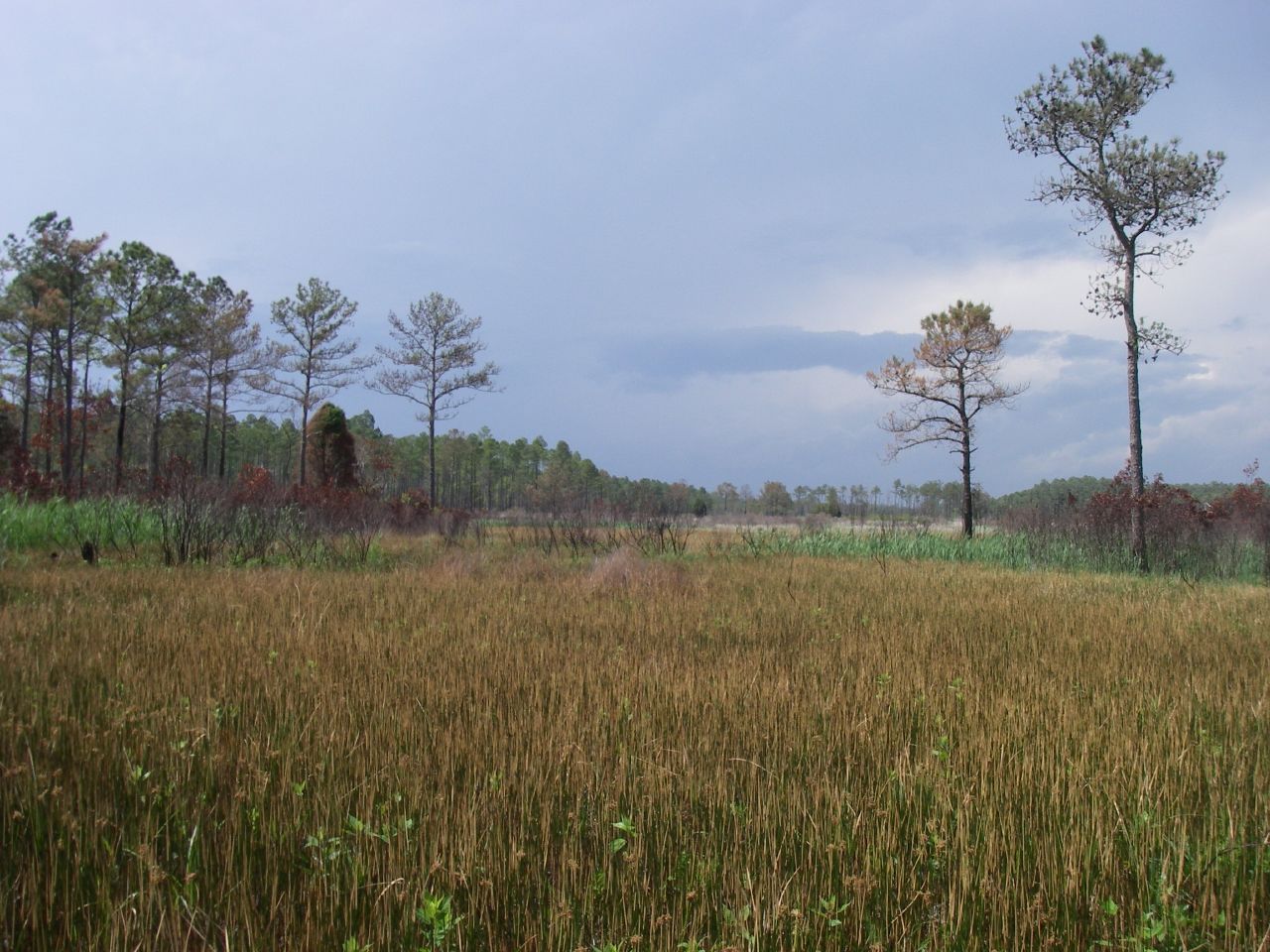
Marsh view

View from the river

Ferry view

Pantego Creek Belhaven

Pungo River sunrise

Pungo River sunrise

Pungo River sunrise

9-28_2

9-24_3

9-30_4

9-30sunset

20140504-IMG_5159
Topographic Map of Tate Landing Rd, Belhaven, NC, USA
Find elevation by address:

Places near Tate Landing Rd, Belhaven, NC, USA:
Pamlico Riverside Drive
Beach Road South
183 Shoreline Dr
78 Cabana Rd
Schrams Beach Road
Beulah Rd, Scranton, NC, USA
6215 Sladesville-credle Rd
Sladesville
2760 Lynnsburg Rd
Germantown
10 Sladesville-credle Rd
50 Sladesville-credle Rd
Scranton
Swanquarter Bay
Swan Quarter
30 Oyster Creek St
264 Main St
Oyster Creek St, Swanquarter, NC, USA
Oyster Creek St, Swanquarter, NC, USA
Swan Quarter
Recent Searches:
- Elevation of Beall Road, Beall Rd, Florida, USA
- Elevation of Leguwa, Nepal
- Elevation of County Rd, Enterprise, AL, USA
- Elevation of Kolchuginsky District, Vladimir Oblast, Russia
- Elevation of Shustino, Vladimir Oblast, Russia
- Elevation of Lampiasi St, Sarasota, FL, USA
- Elevation of Elwyn Dr, Roanoke Rapids, NC, USA
- Elevation of Congressional Dr, Stevensville, MD, USA
- Elevation of Bellview Rd, McLean, VA, USA
- Elevation of Stage Island Rd, Chatham, MA, USA