Elevation of Sladesville-Credle Rd, Scranton, NC, USA
Location: United States > North Carolina > Hyde County > Scranton >
Longitude: -76.486965
Latitude: 35.4515582
Elevation: 1m / 3feet
Barometric Pressure: 101KPa
Elevation Map:
Satellite Map:
Related Photos:

Male Green-winged teal

U.S. 264, Between Belhaven and Swan Quarter, North Carolina

U.S. 264 Near Pungo River, North Carolina

U.S. 264, Between Belhaven and Swan Quarter, North Carolina

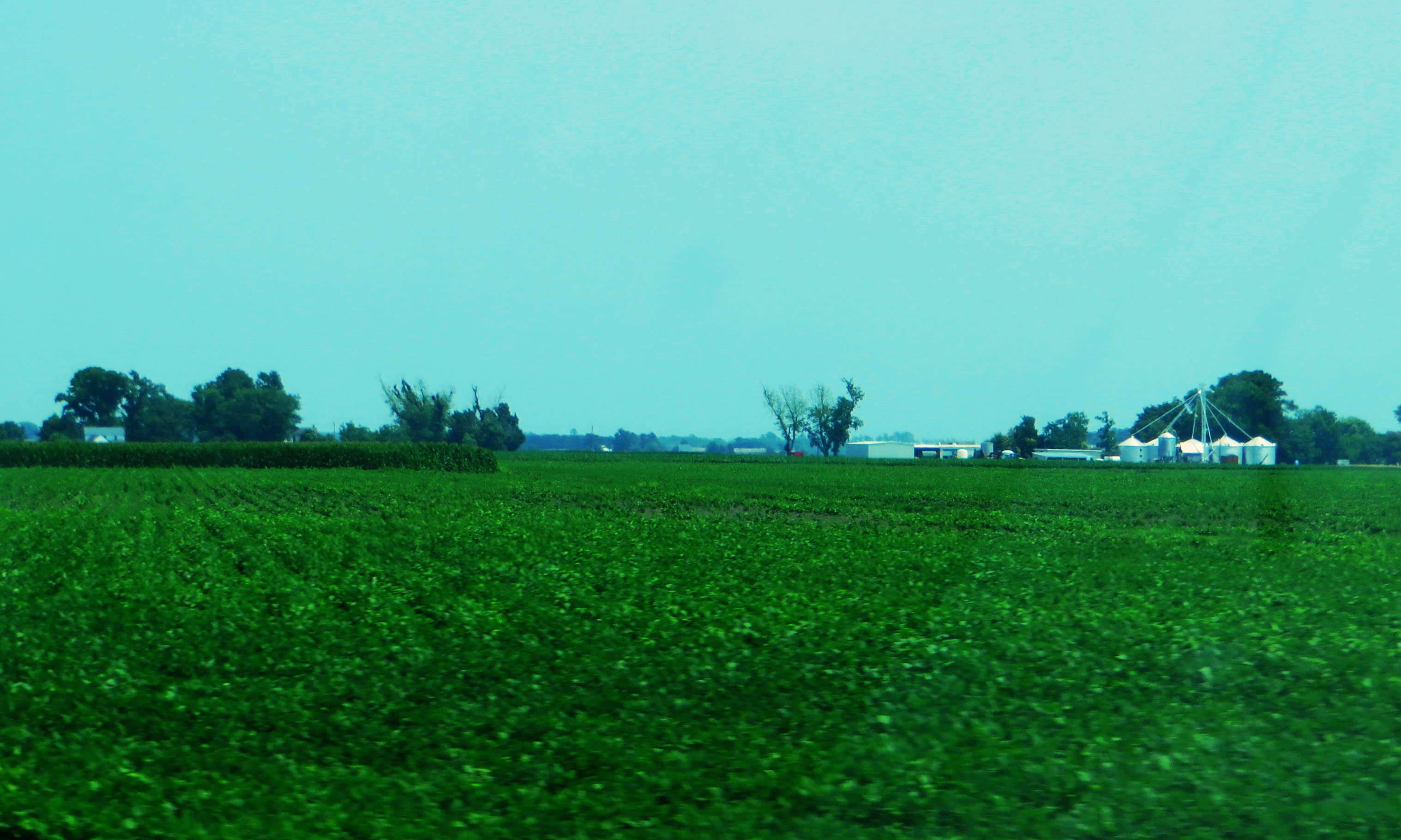
U.S. 264, Between Belhaven and Swan Quarter, North Carolina

U.S. 264, Between Belhaven and Swan Quarter, North Carolina

Belhaven, NC

Side View, Old Hyde County Courthouse

Front View Of Old Hyde County Courthouse

View from the river

The Credle House Front Door and Shadows: Hyde County, North Carolina
U.S. 264 Near Swan Quarter, North Carolina

Pantego Creek Belhaven
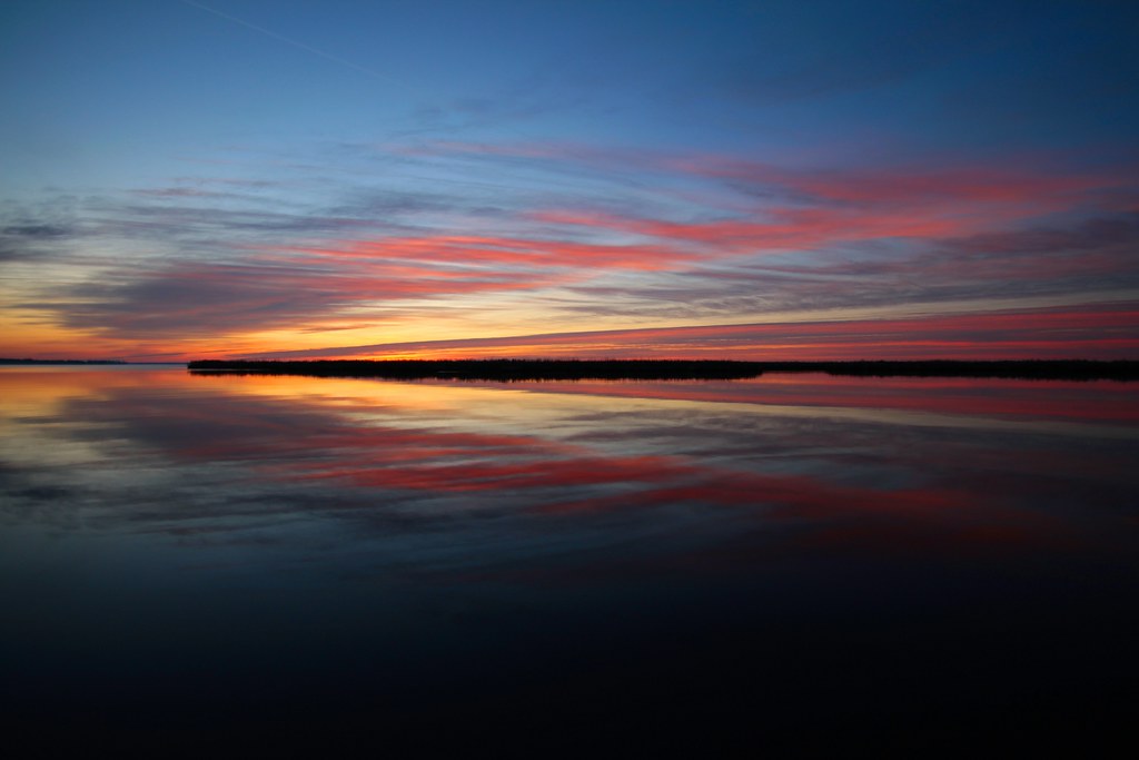
Pungo River sunrise

Pungo River sunrise

Pungo River sunrise

Alligator River, NC

9-28_2

9-24_3

9-30_4

9-30sunset
Topographic Map of Sladesville-Credle Rd, Scranton, NC, USA
Find elevation by address:

Places near Sladesville-Credle Rd, Scranton, NC, USA:
Sladesville
2760 Lynnsburg Rd
Germantown
Beulah Rd, Scranton, NC, USA
10 Sladesville-credle Rd
50 Sladesville-credle Rd
Scranton
Beach Road South
219 Tate Landing Rd
78 Cabana Rd
183 Shoreline Dr
Pamlico Riverside Drive
Schrams Beach Road
Swan Quarter
30 Oyster Creek St
264 Main St
Oyster Creek St, Swanquarter, NC, USA
Swanquarter Bay
Oyster Creek St, Swanquarter, NC, USA
Farrow Rd, Swanquarter, NC, USA
Recent Searches:
- Elevation of Leguwa, Nepal
- Elevation of County Rd, Enterprise, AL, USA
- Elevation of Kolchuginsky District, Vladimir Oblast, Russia
- Elevation of Shustino, Vladimir Oblast, Russia
- Elevation of Lampiasi St, Sarasota, FL, USA
- Elevation of Elwyn Dr, Roanoke Rapids, NC, USA
- Elevation of Congressional Dr, Stevensville, MD, USA
- Elevation of Bellview Rd, McLean, VA, USA
- Elevation of Stage Island Rd, Chatham, MA, USA
- Elevation of Shibuya Scramble Crossing, 21 Udagawacho, Shibuya City, Tokyo -, Japan