Elevation of Nayapanchayat Chetra Dumaila { Bironkhal }, Patti Khatli, Bironkhal, Uttarakhand, India
Location: India > Uttarakhand > Pauri Garhwal >
Longitude: 79.0362544
Latitude: 29.845493
Elevation: 1601m / 5253feet
Barometric Pressure: 84KPa
Elevation Map:
Satellite Map:
Related Photos:

Eternal beauty

Its time to shed the old ideas!

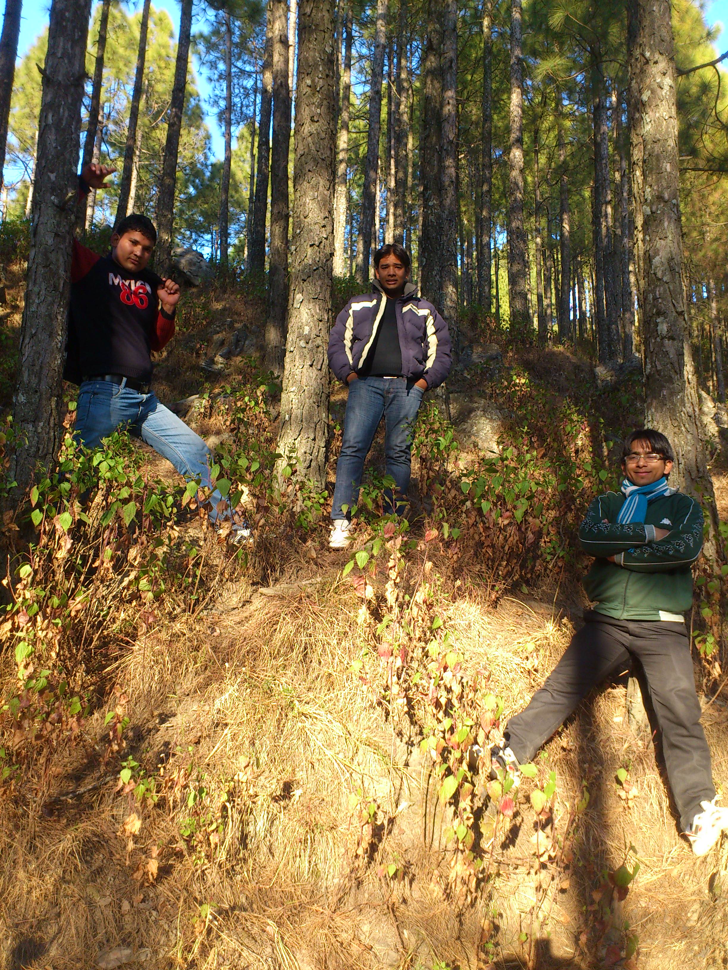
Forest! The need of the present hour
Jamriya , UttrakhUttrakhand and

DSC_Uttrakhand 0022 (2)
Topographic Map of Nayapanchayat Chetra Dumaila { Bironkhal }, Patti Khatli, Bironkhal, Uttarakhand, India
Find elevation by address:

Places in Nayapanchayat Chetra Dumaila { Bironkhal }, Patti Khatli, Bironkhal, Uttarakhand, India:
Places near Nayapanchayat Chetra Dumaila { Bironkhal }, Patti Khatli, Bironkhal, Uttarakhand, India:
Bironkhal
Dumaila Malla
Vedikhal
Listiyakhait Khaliyundanda Rikhnikhal Marg
Chinwadi
Listiyakhet
Jadaukhand
Dhumakot
Takolikhal
Primary School, Takolikhal
Patti Gujru
Digolikhal
Sulumori
Dunagiri
Rikhnikhal
Kandakhal
Pauri Garhwal
Dabri Walli
Dhabkhal
Bhanswara
Recent Searches:
- Elevation of 24 Oakland Rd #, Scotland, ON N0E 1R0, Canada
- Elevation of Deep Gap Farm Rd E, Mill Spring, NC, USA
- Elevation of Dog Leg Dr, Minden, NV, USA
- Elevation of Dog Leg Dr, Minden, NV, USA
- Elevation of Kambingan Sa Pansol Atbp., Purok 7 Pansol, Candaba, Pampanga, Philippines
- Elevation of Pinewood Dr, New Bern, NC, USA
- Elevation of Mountain View, CA, USA
- Elevation of Foligno, Province of Perugia, Italy
- Elevation of Blauwestad, Netherlands
- Elevation of Bella Terra Blvd, Estero, FL, USA