Elevation of Vedikhal, Uttarakhand, India
Location: India > Uttarakhand > Pauri Garhwal >
Longitude: 79.0044619
Latitude: 29.8792536
Elevation: 1746m / 5728feet
Barometric Pressure: 82KPa
Elevation Map:
Satellite Map:
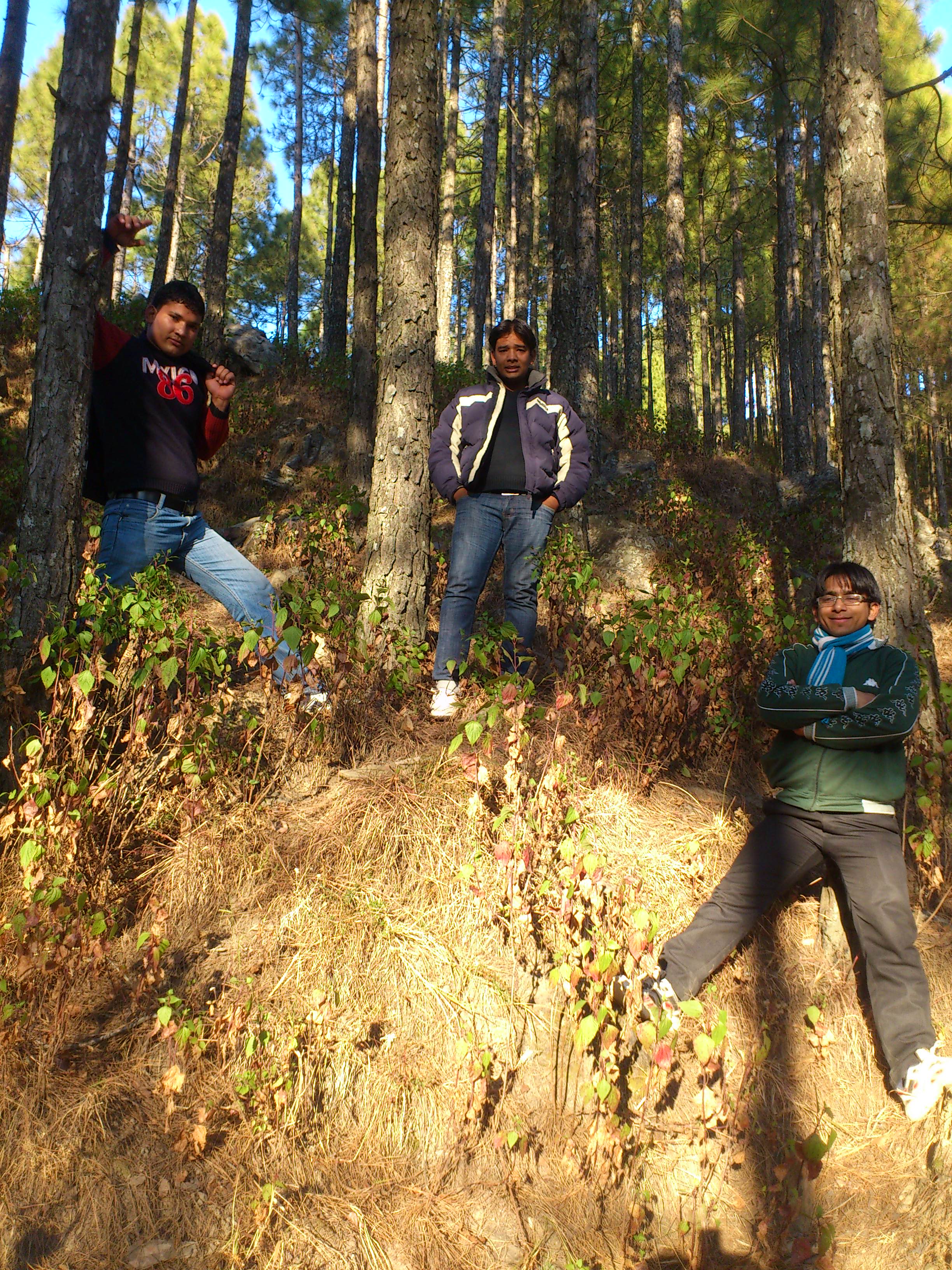
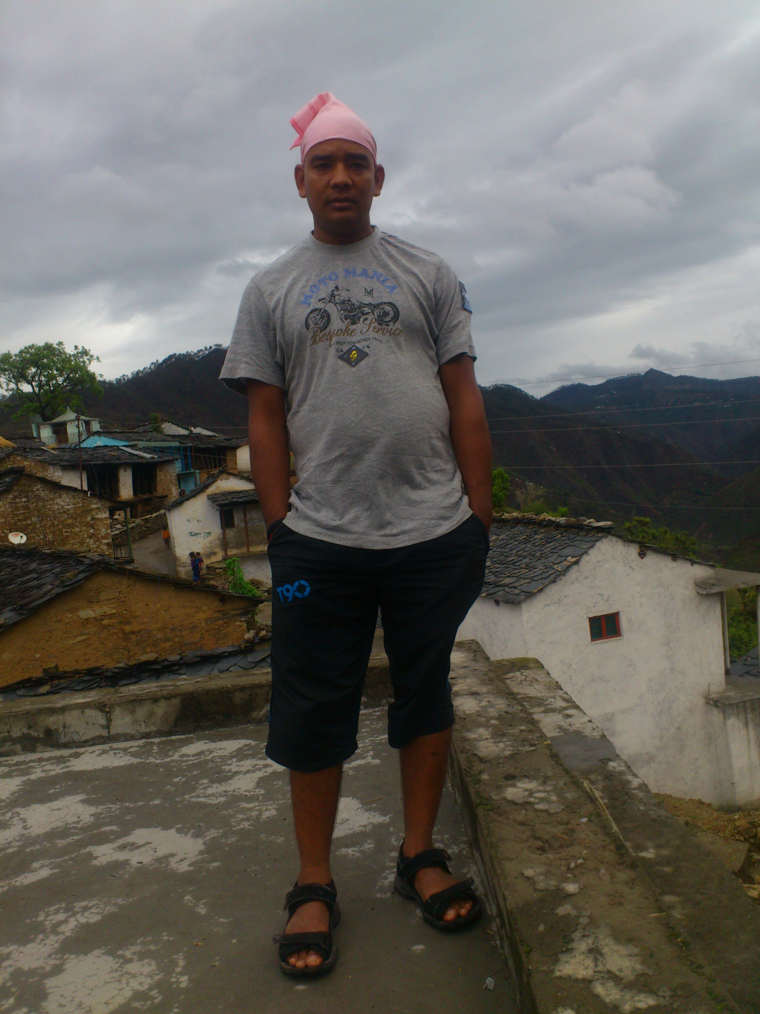
Related Photos:

Its time to shed the old ideas!

Forest! The need of the present hour
Jamriya , UttrakhUttrakhand and
DSC_Uttrakhand 0022 (2)

Red-billed blue magpie
Topographic Map of Vedikhal, Uttarakhand, India
Find elevation by address:

Places near Vedikhal, Uttarakhand, India:
Dumaila Malla
Nayapanchayat Chetra Dumaila { Bironkhal }
Bironkhal
Takolikhal
Primary School, Takolikhal
Listiyakhait Khaliyundanda Rikhnikhal Marg
Chinwadi
Listiyakhet
Dhumakot
Sulumori
Jadaukhand
Pauri Garhwal
Rikhnikhal
Patti Gujru
Digolikhal
Dunagiri
Kandakhal
Dabri Walli
Dhabkhal
Bhanswara
Recent Searches:
- Elevation of 72-31 Metropolitan Ave, Middle Village, NY, USA
- Elevation of 76 Metropolitan Ave, Brooklyn, NY, USA
- Elevation of Alisal Rd, Solvang, CA, USA
- Elevation of Vista Blvd, Sparks, NV, USA
- Elevation of 15th Ave SE, St. Petersburg, FL, USA
- Elevation of Beall Road, Beall Rd, Florida, USA
- Elevation of Leguwa, Nepal
- Elevation of County Rd, Enterprise, AL, USA
- Elevation of Kolchuginsky District, Vladimir Oblast, Russia
- Elevation of Shustino, Vladimir Oblast, Russia