Elevation of Listiyakhait Khaliyundanda Rikhnikhal Marg, Queen, Uttarakhand, India
Location: India > Uttarakhand > Pauri Garhwal > Chinwadi >
Longitude: 79.0126526
Latitude: 29.7707802
Elevation: 1993m / 6539feet
Barometric Pressure: 80KPa
Elevation Map:
Satellite Map:
Related Photos:
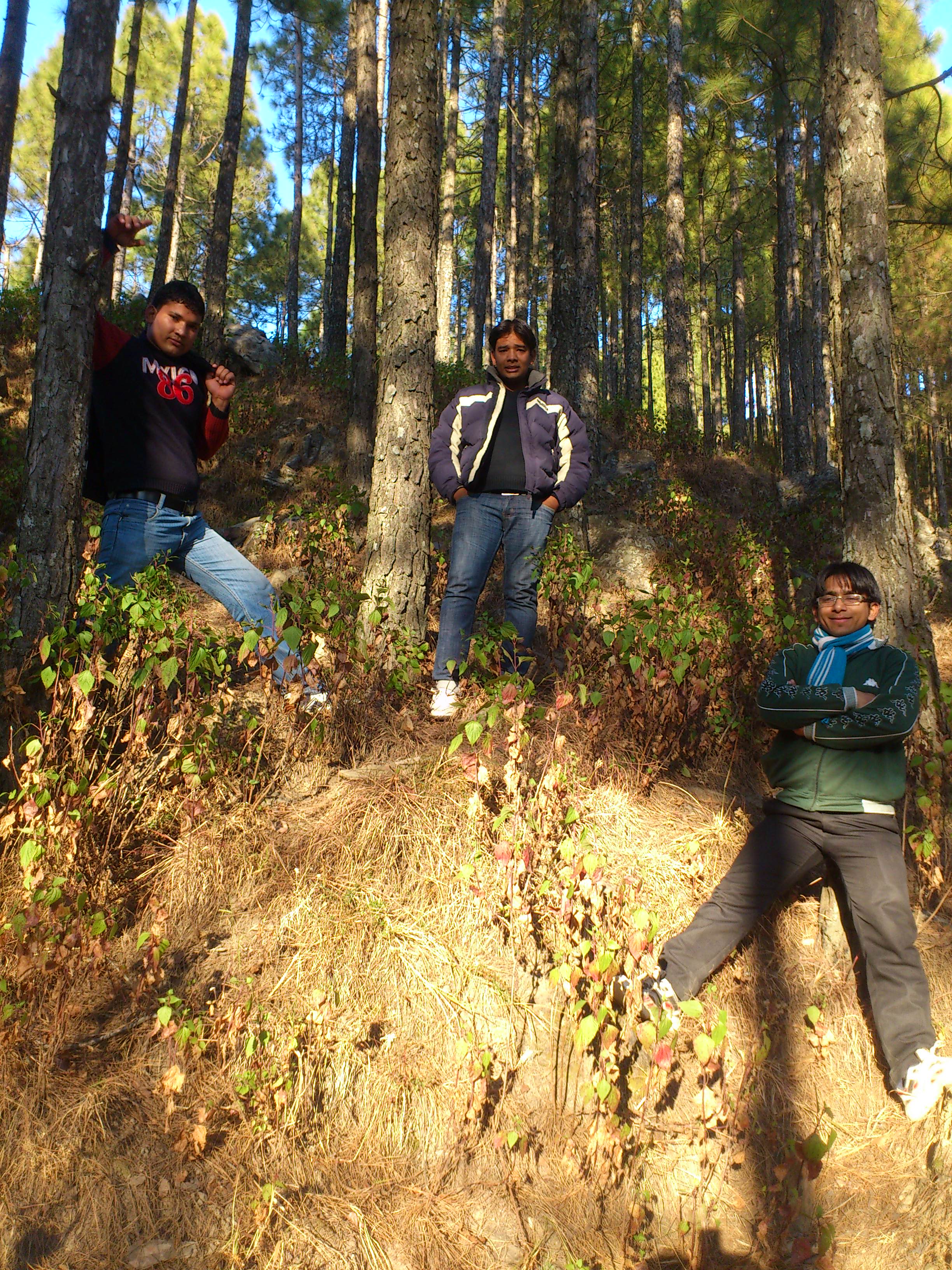
Jamriya , UttrakhUttrakhand and
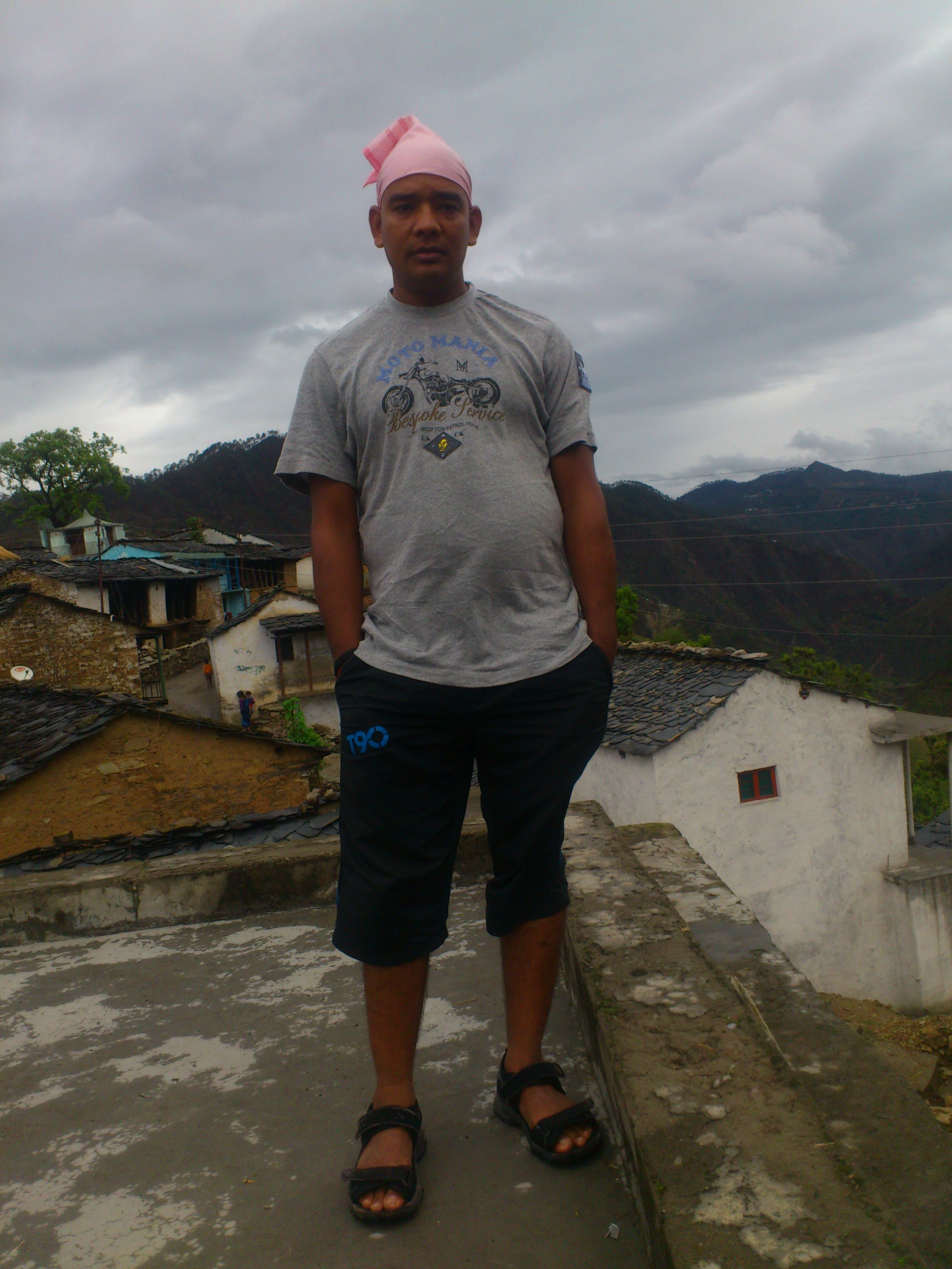
DSC_Uttrakhand 0022 (2)
Topographic Map of Listiyakhait Khaliyundanda Rikhnikhal Marg, Queen, Uttarakhand, India
Find elevation by address:

Places near Listiyakhait Khaliyundanda Rikhnikhal Marg, Queen, Uttarakhand, India:
Chinwadi
Listiyakhet
Dhumakot
Jadaukhand
Bironkhal
Dumaila Malla
Takolikhal
Primary School, Takolikhal
Nayapanchayat Chetra Dumaila { Bironkhal }
Patti Gujru
Dunagiri
Digolikhal
Sulumori
Vedikhal
Rikhnikhal
Kandakhal
Dabri Walli
Dhabkhal
Pauri Garhwal
Bhanswara
Recent Searches:
- Elevation of Hobbyhorse Ct, Dover, DE, USA
- Elevation of Horseshoe Ln, Dahlonega, GA, USA
- Elevation of Village Point Dr, Daphne, AL, USA
- Elevation map of Kabardino-Balkarian Republic, Russia
- Elevation of Tyrnyauz, Kabardino-Balkarian Republic, Russia
- Elevation of Sunset Dr, Hernando, MS, USA
- Elevation of Lake Rotoroa, Tasman, New Zealand
- Elevation of George St, New Bern, NC, USA
- Elevation of Cove Rd, Jasper, GA, USA
- Elevation of Cove Rd, Jasper, GA, USA