Elevation of Nayapanchayat Chetra Dumaila { Bironkhal }, Dumaila Malla, Uttarakhand, India
Location: India > Uttarakhand > Pauri Garhwal > Nayapanchayat Chetra Dumaila { Bironkhal } >
Longitude: 79.0245984
Latitude: 29.8427321
Elevation: 1559m / 5115feet
Barometric Pressure: 84KPa
Elevation Map:
Satellite Map:
Related Photos:

Eternal beauty

Its time to shed the old ideas!

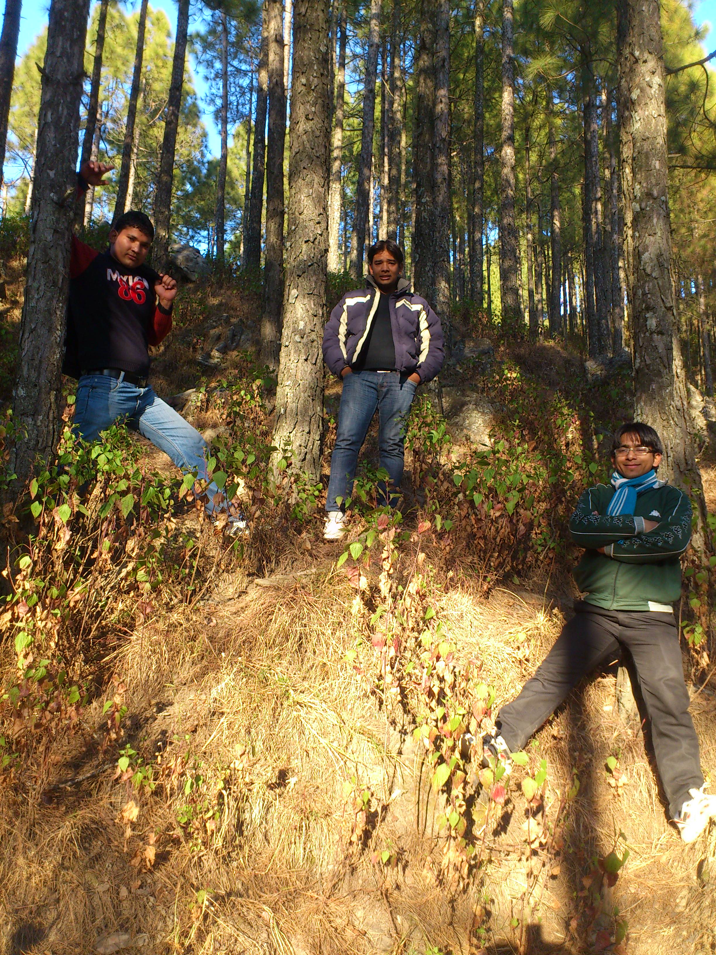
Forest! The need of the present hour
Jamriya , UttrakhUttrakhand and

DSC_Uttrakhand 0022 (2)
Topographic Map of Nayapanchayat Chetra Dumaila { Bironkhal }, Dumaila Malla, Uttarakhand, India
Find elevation by address:

Places near Nayapanchayat Chetra Dumaila { Bironkhal }, Dumaila Malla, Uttarakhand, India:
Bironkhal
Nayapanchayat Chetra Dumaila { Bironkhal }
Vedikhal
Listiyakhait Khaliyundanda Rikhnikhal Marg
Chinwadi
Listiyakhet
Dhumakot
Takolikhal
Primary School, Takolikhal
Jadaukhand
Sulumori
Patti Gujru
Digolikhal
Dunagiri
Rikhnikhal
Kandakhal
Pauri Garhwal
Dabri Walli
Dhabkhal
Bhanswara
Recent Searches:
- Elevation of 24 Oakland Rd #, Scotland, ON N0E 1R0, Canada
- Elevation of Deep Gap Farm Rd E, Mill Spring, NC, USA
- Elevation of Dog Leg Dr, Minden, NV, USA
- Elevation of Dog Leg Dr, Minden, NV, USA
- Elevation of Kambingan Sa Pansol Atbp., Purok 7 Pansol, Candaba, Pampanga, Philippines
- Elevation of Pinewood Dr, New Bern, NC, USA
- Elevation of Mountain View, CA, USA
- Elevation of Foligno, Province of Perugia, Italy
- Elevation of Blauwestad, Netherlands
- Elevation of Bella Terra Blvd, Estero, FL, USA