Elevation of N Main St, Fonda, IA, USA
Location: United States > Iowa > Pocahontas County > Cedar > Fonda >
Longitude: -94.846006
Latitude: 42.5813997
Elevation: 375m / 1230feet
Barometric Pressure: 97KPa
Elevation Map:
Satellite Map:
Related Photos:

The Old Workshop
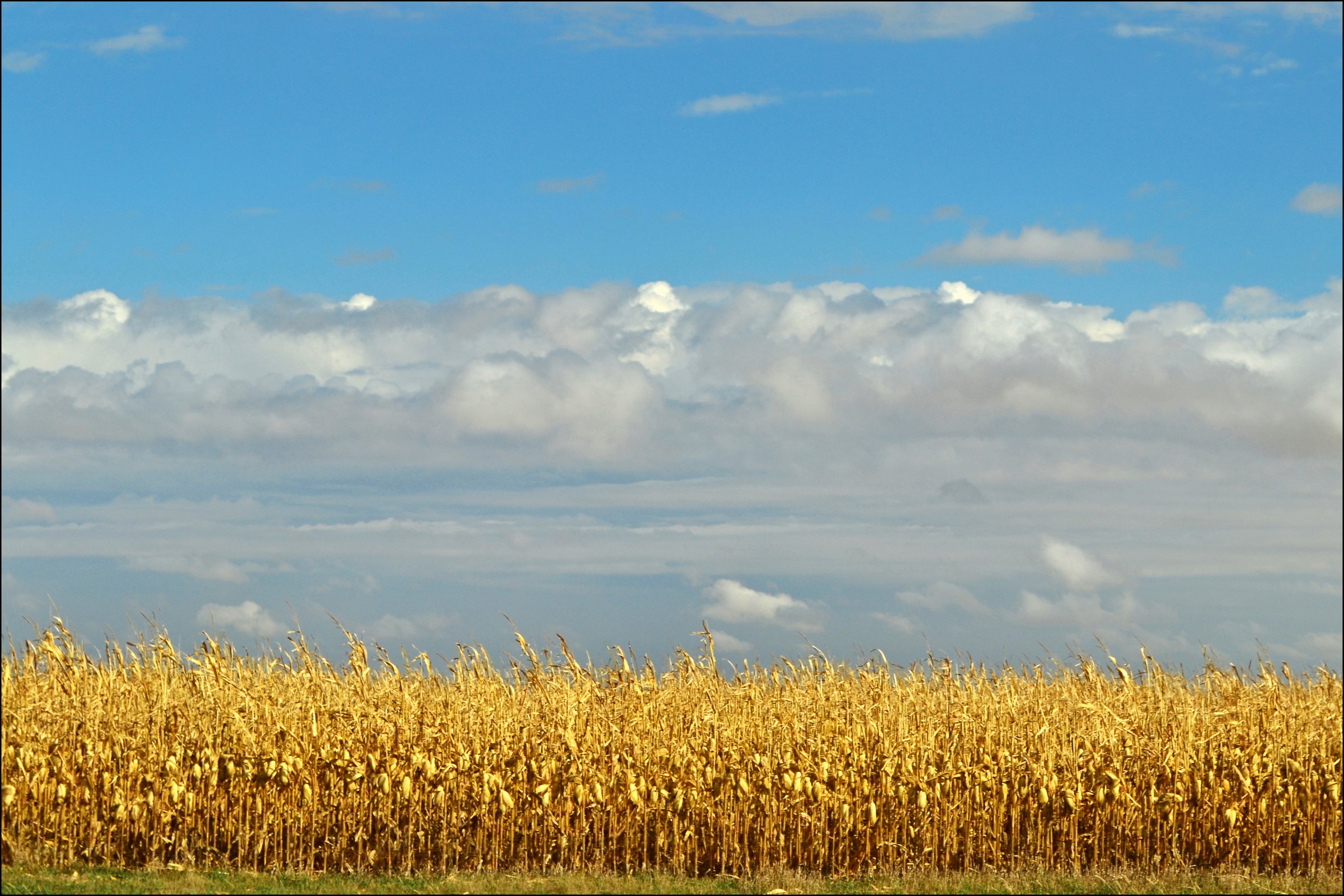
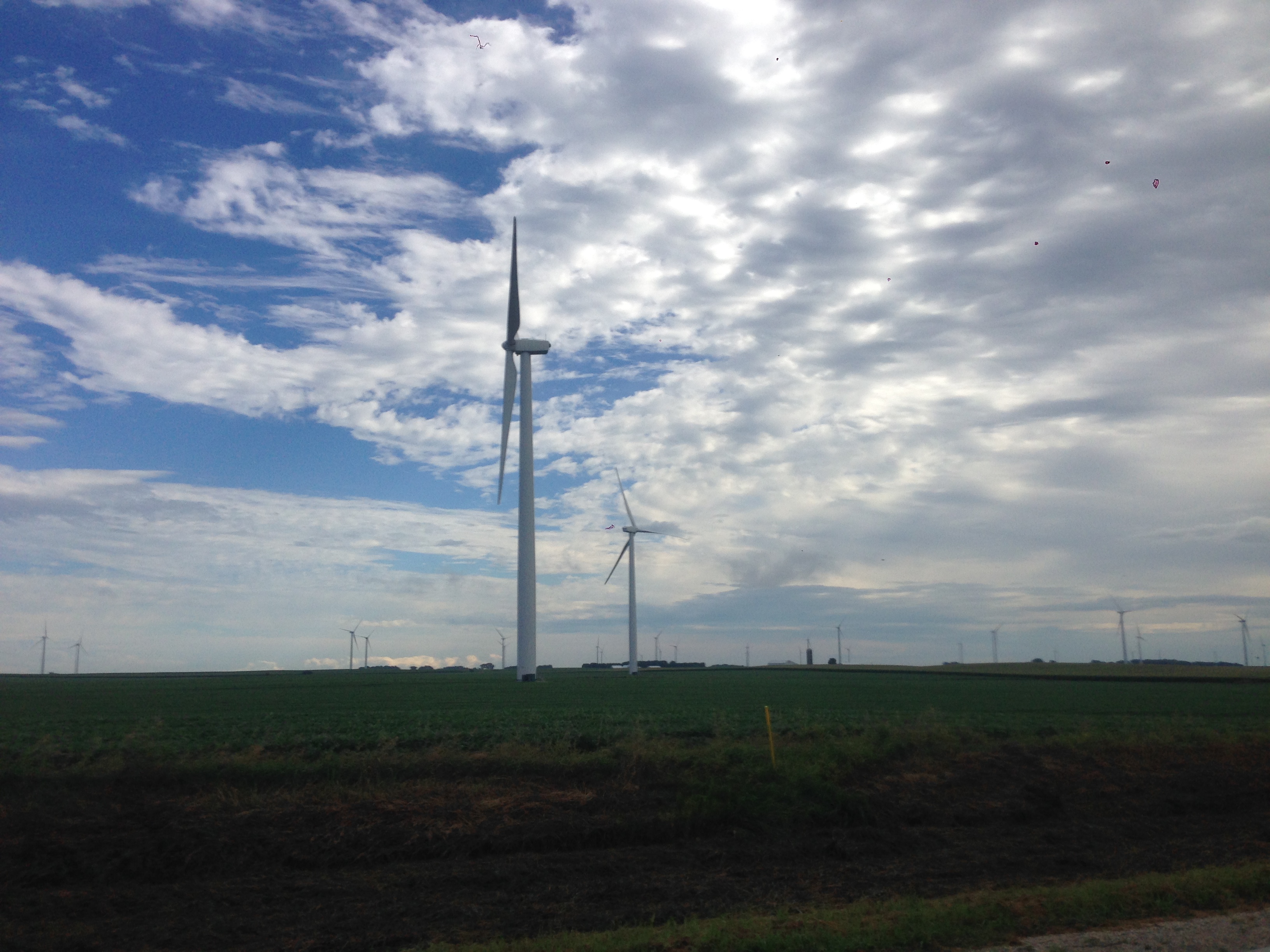
Harvest Time in Iowa
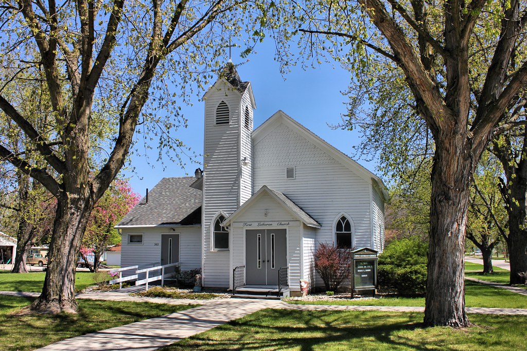
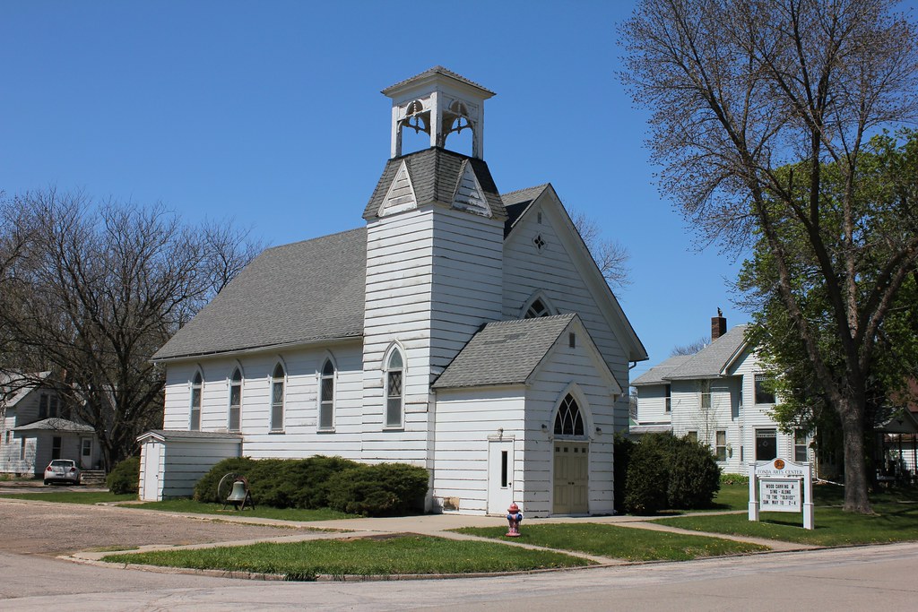
First Lutheran Church - Fonda, IA
Elephant's Eye (2)

Pomeroy, Iowa. For a lifetime. 132/365 #project365 #365 #pomeroy #iowa

Ragbrai 2015
06152016-07

Wreck and Ruin release PARTY at Byron's!
RAGBRAI 2015

RAGBRAI 2015

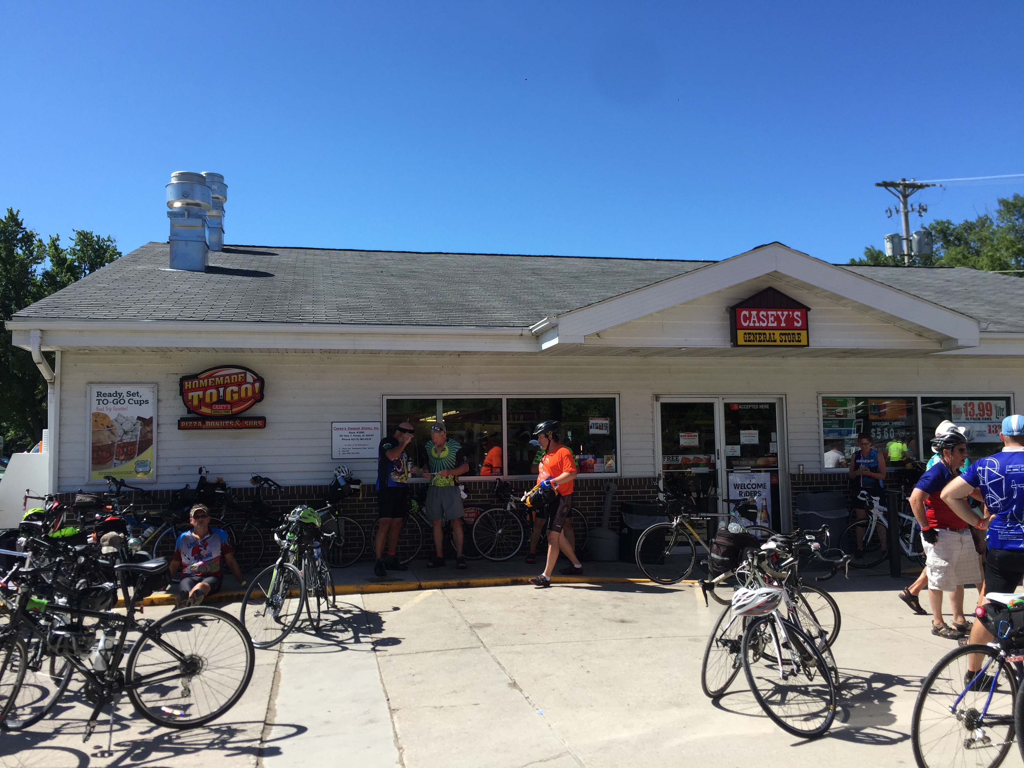
RAGBRAI 2015

RAGBRAI 2015
RAGBRAI 2015 snapshots

RAGBRAI 2015 snapshots

Ragbrai 2015

Ragbrai 2015

Ragbrai 2015
Presbyterian Church (Former) - Fonda, IA
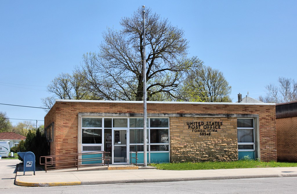
Post Office - Fonda, IA

Our Lady of Good Counsel Catholic Church - Fonda, IA
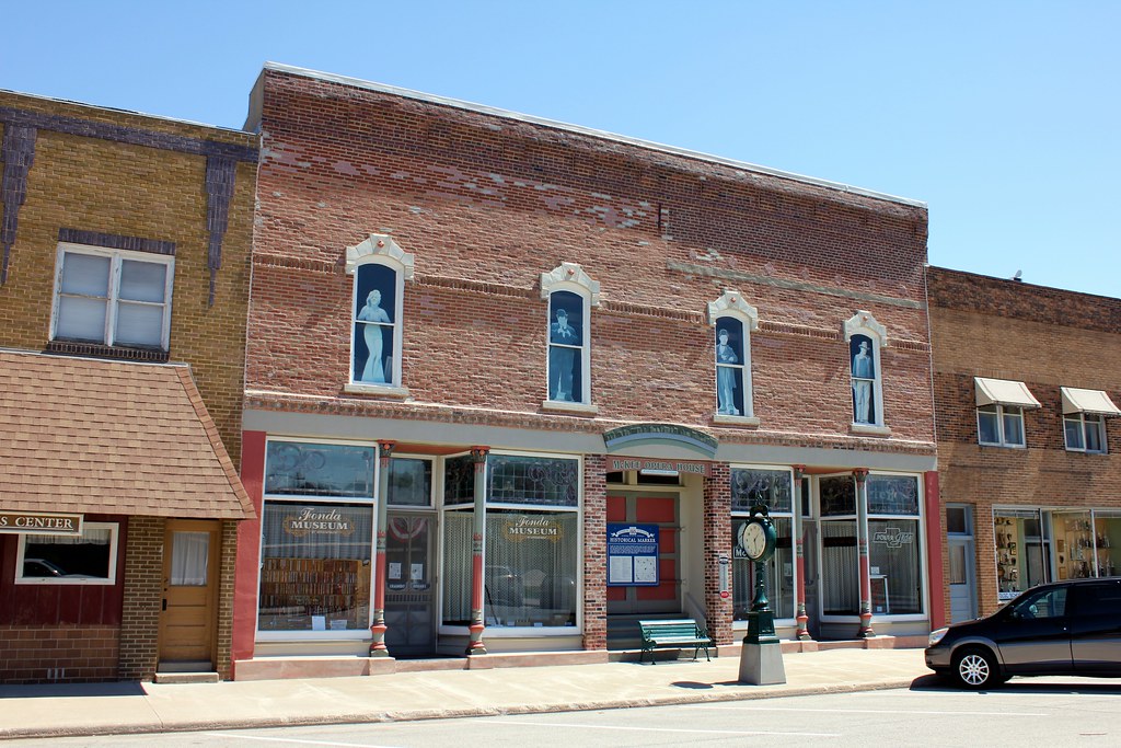
McKee Opera House - Fonda, IA
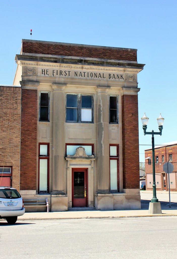
First National Bank Building - Fonda, IA
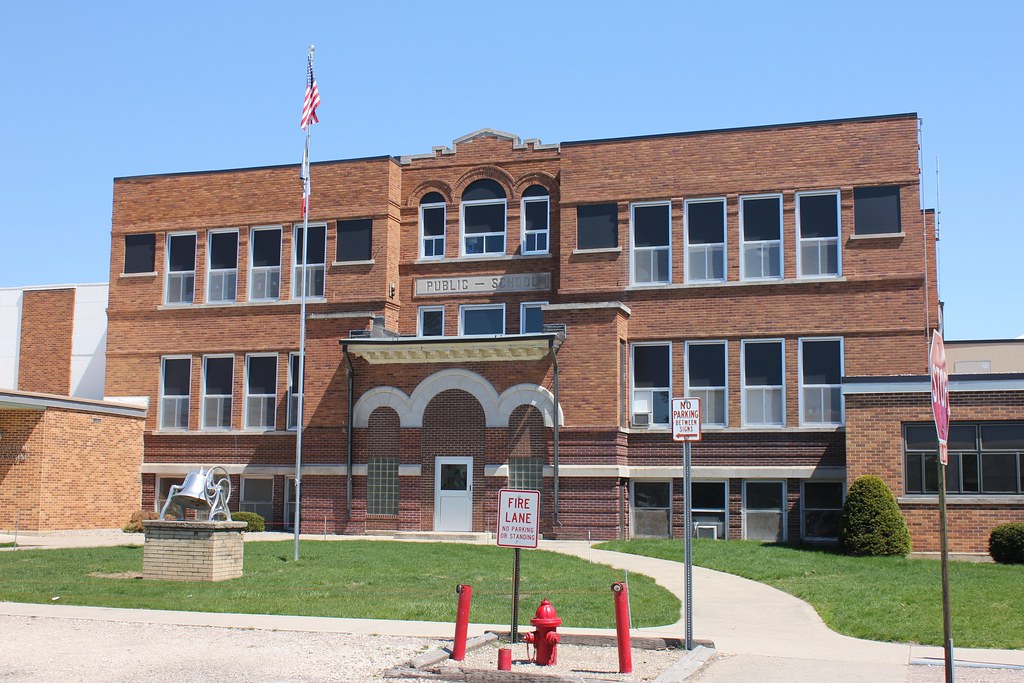
Public School - Newell, IA
Topographic Map of N Main St, Fonda, IA, USA
Find elevation by address:

Places near N Main St, Fonda, IA, USA:
Fonda
Cedar
Butler
Main St, Pomeroy, IA, USA
Pomeroy
S Cayuga St, Pomeroy, IA, USA
Cedar
3141 255th St
N 5th St, Sac City, IA, USA
Sac City
521 W Main St
Albert City
119 S 16th St
Fairfield
2nd St N, Albert City, IA, USA
1916 W Main St
Pocahontas County
Palmer
Jackson
Main St, Palmer, IA, USA
Recent Searches:
- Elevation of SW 57th Ave, Portland, OR, USA
- Elevation of Crocker Dr, Vacaville, CA, USA
- Elevation of Pu Ngaol Community Meeting Hall, HWHM+3X7, Krong Saen Monourom, Cambodia
- Elevation of Royal Ontario Museum, Queens Park, Toronto, ON M5S 2C6, Canada
- Elevation of Groblershoop, South Africa
- Elevation of Power Generation Enterprises | Industrial Diesel Generators, Oak Ave, Canyon Country, CA, USA
- Elevation of Chesaw Rd, Oroville, WA, USA
- Elevation of N, Mt Pleasant, UT, USA
- Elevation of 6 Rue Jules Ferry, Beausoleil, France
- Elevation of Sattva Horizon, 4JC6+G9P, Vinayak Nagar, Kattigenahalli, Bengaluru, Karnataka, India